


Southwest United States Regional Wall Map
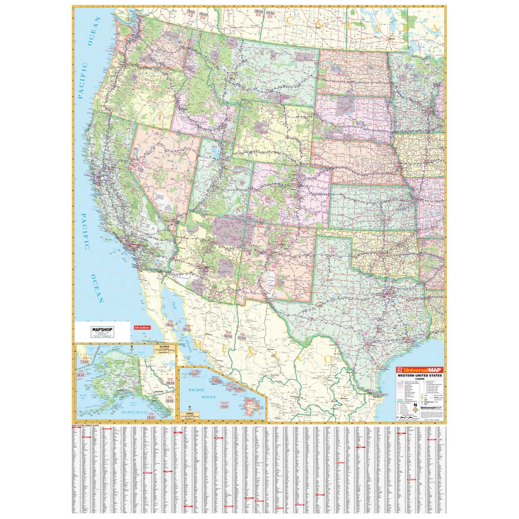
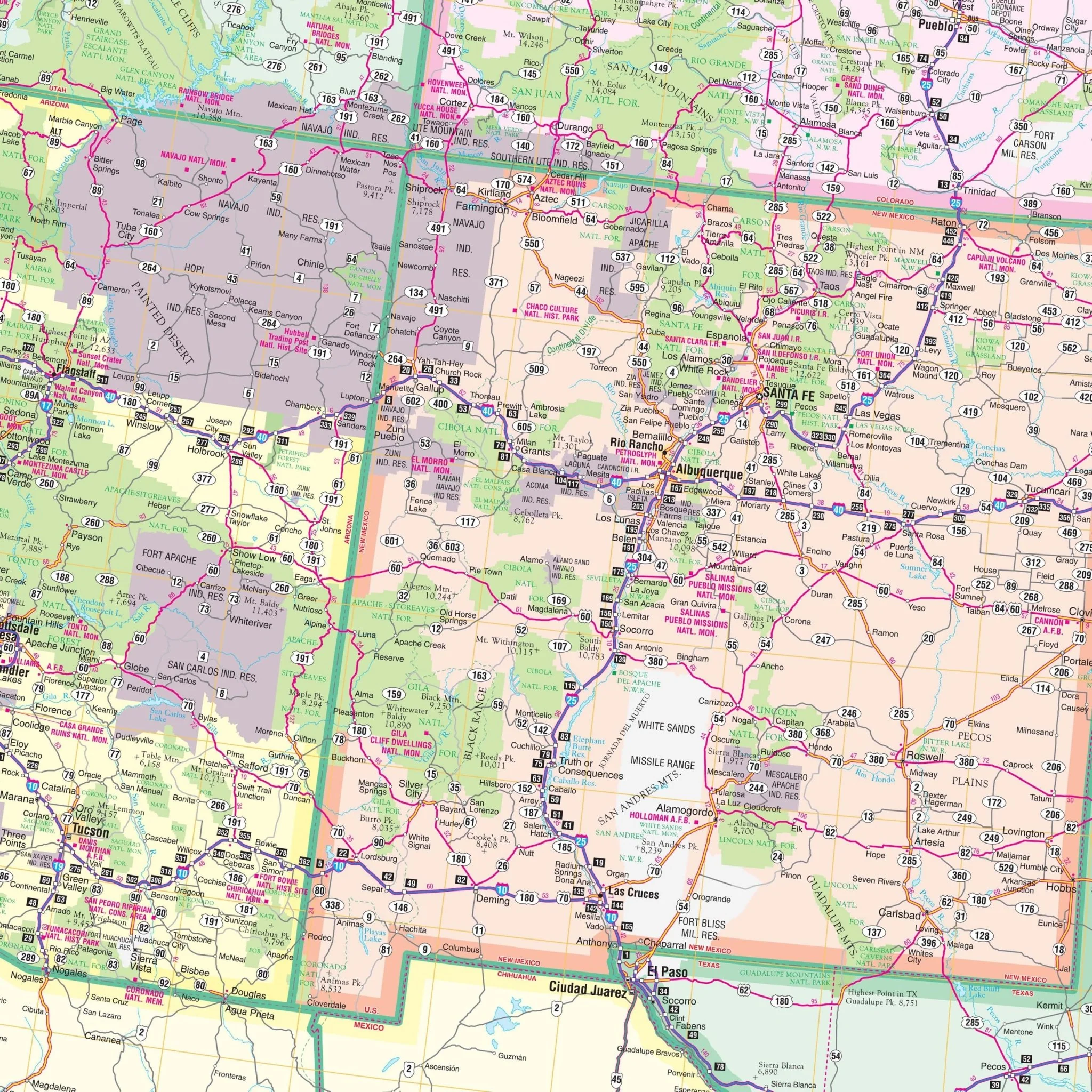
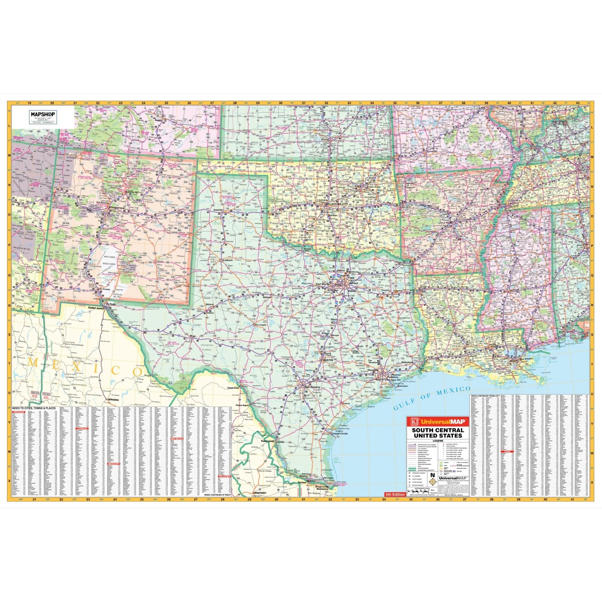
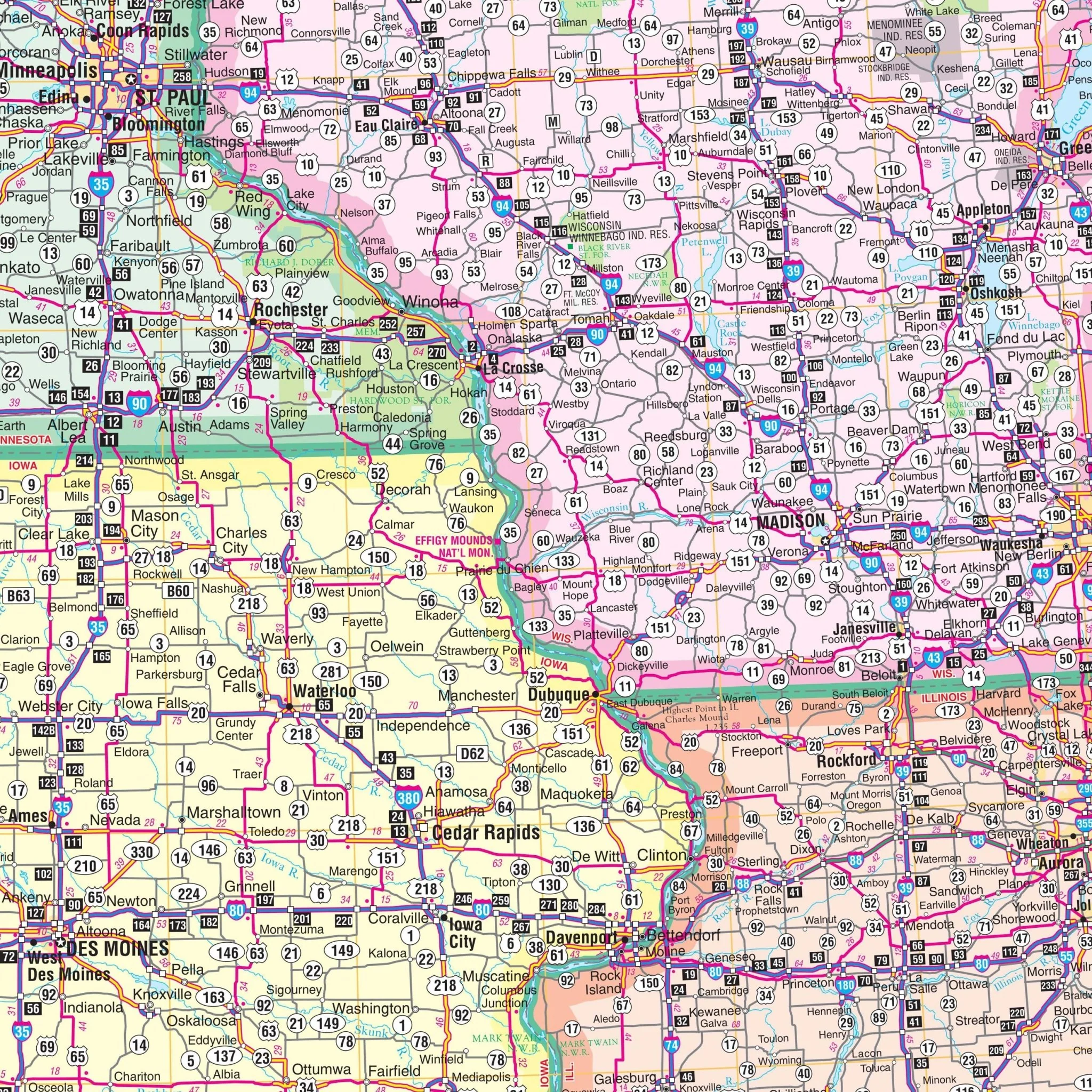
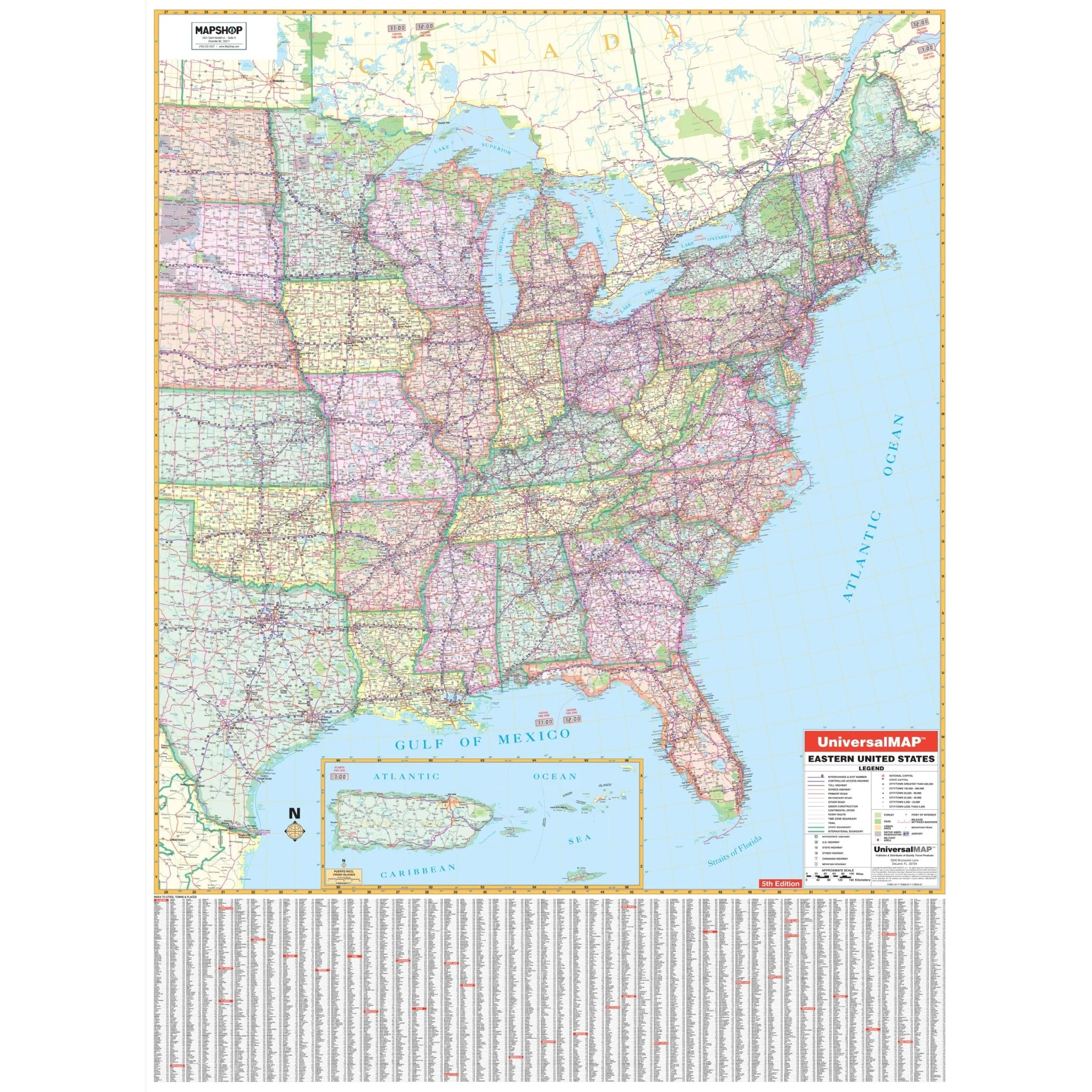
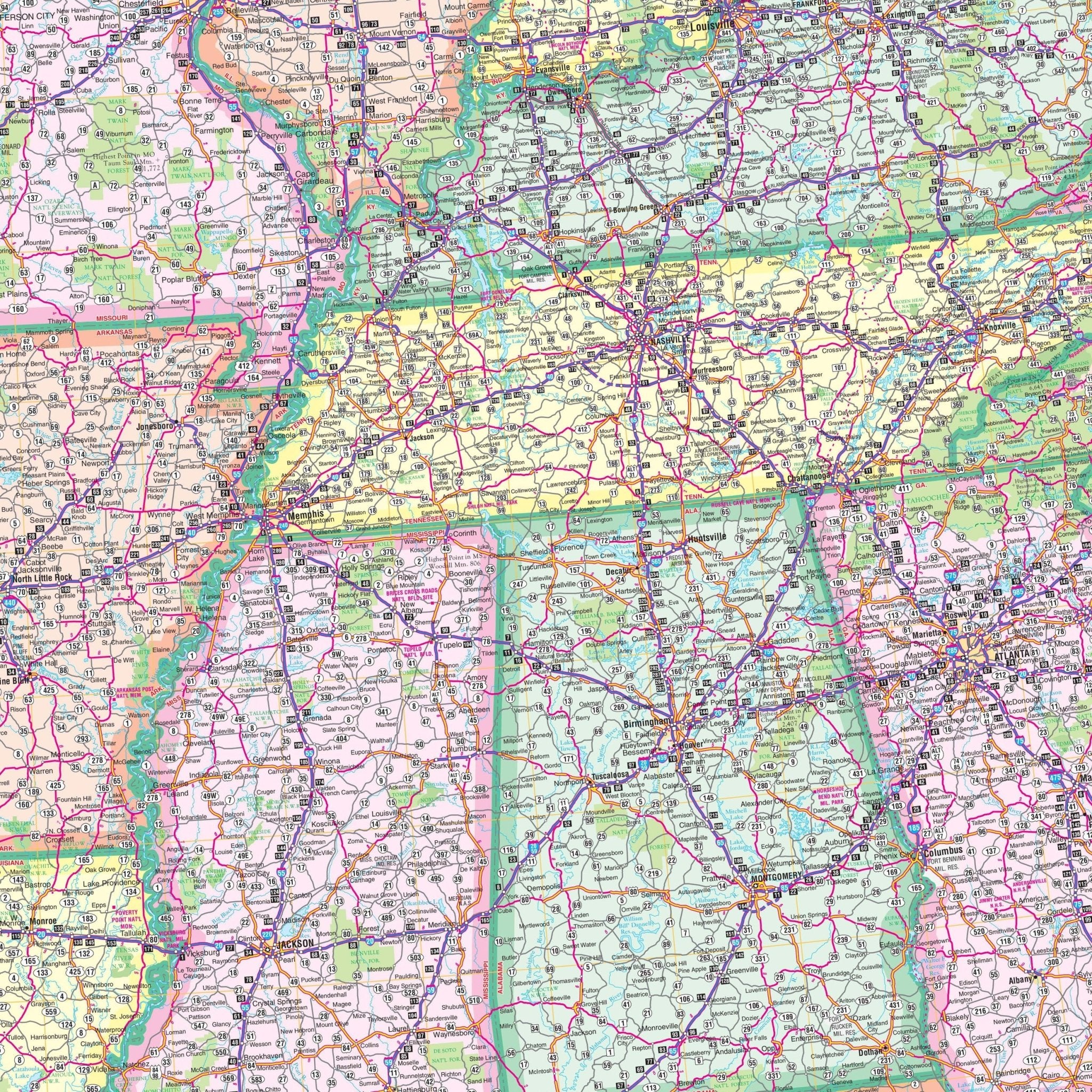
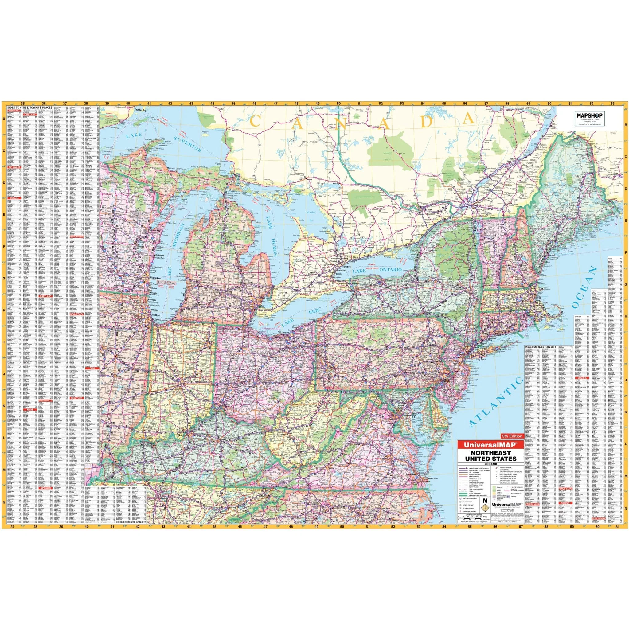
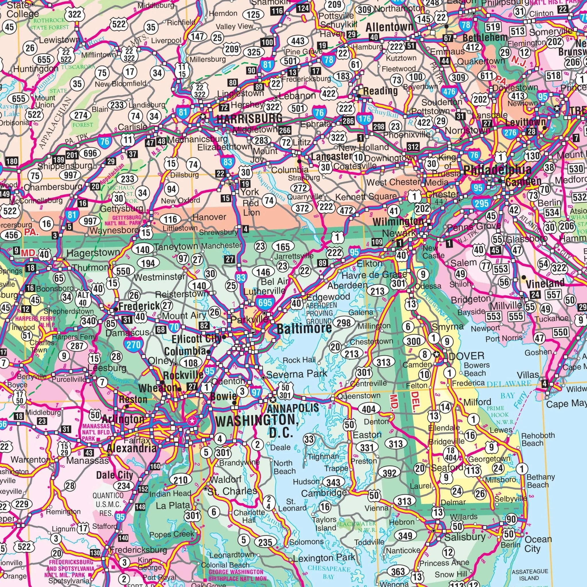
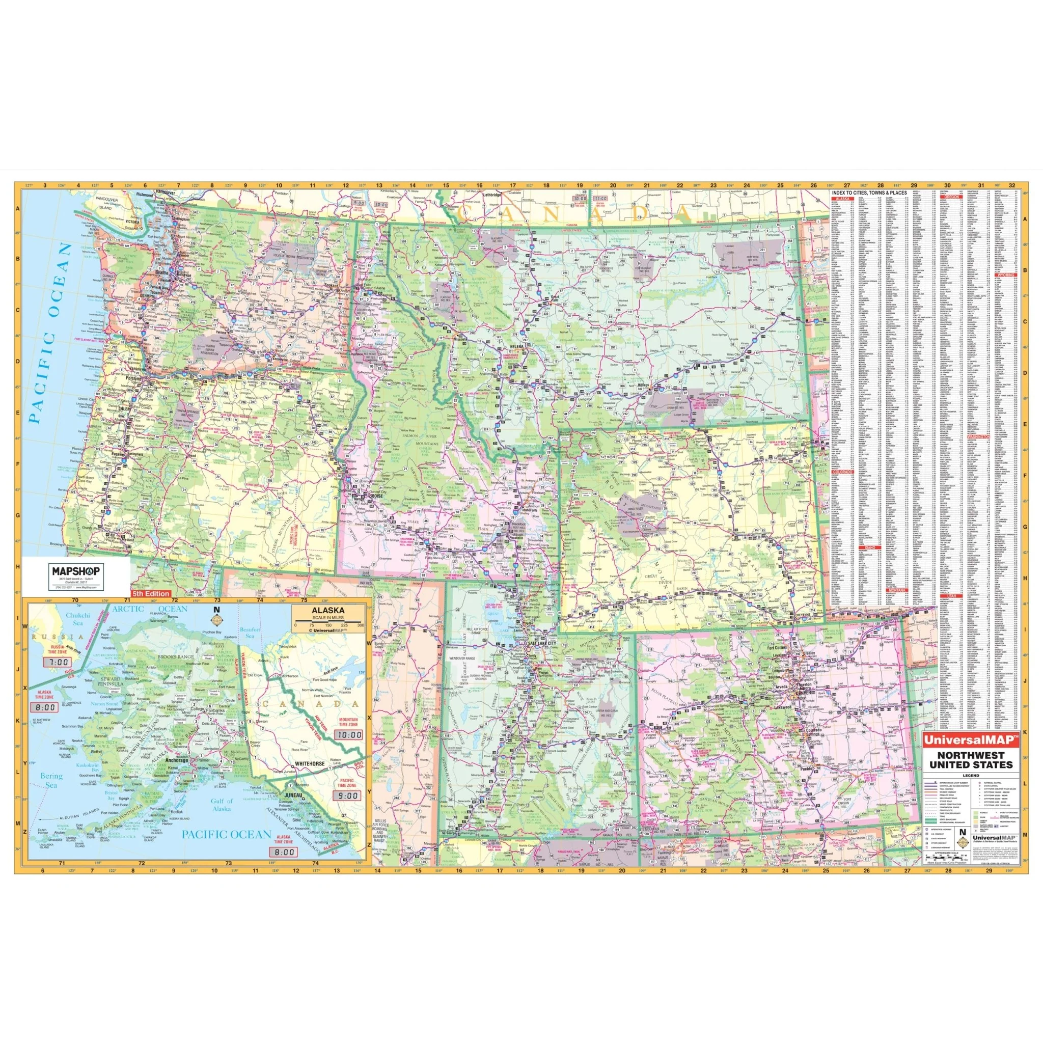
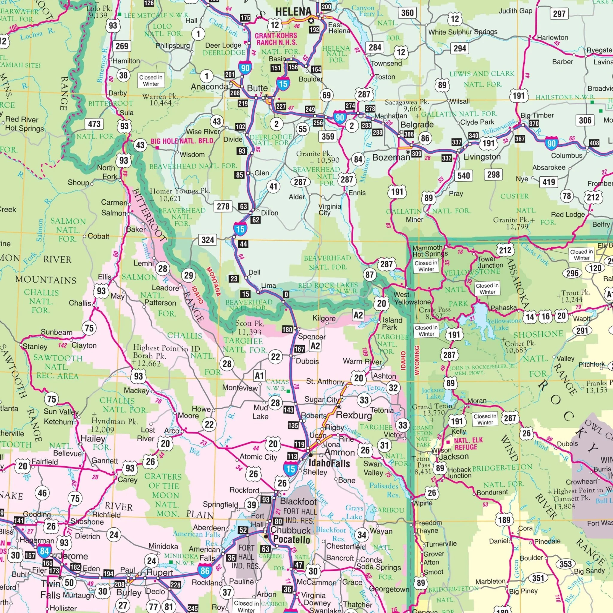
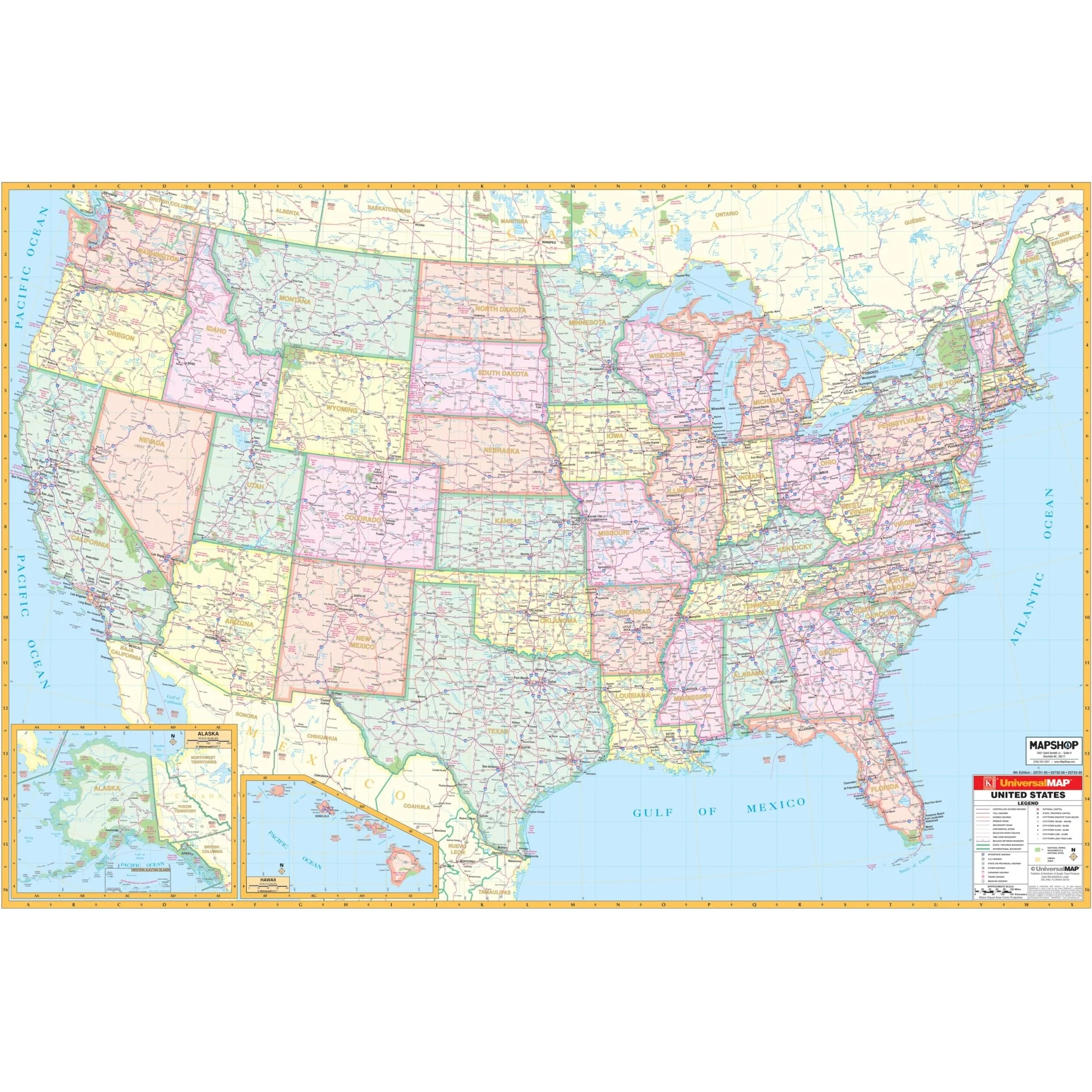
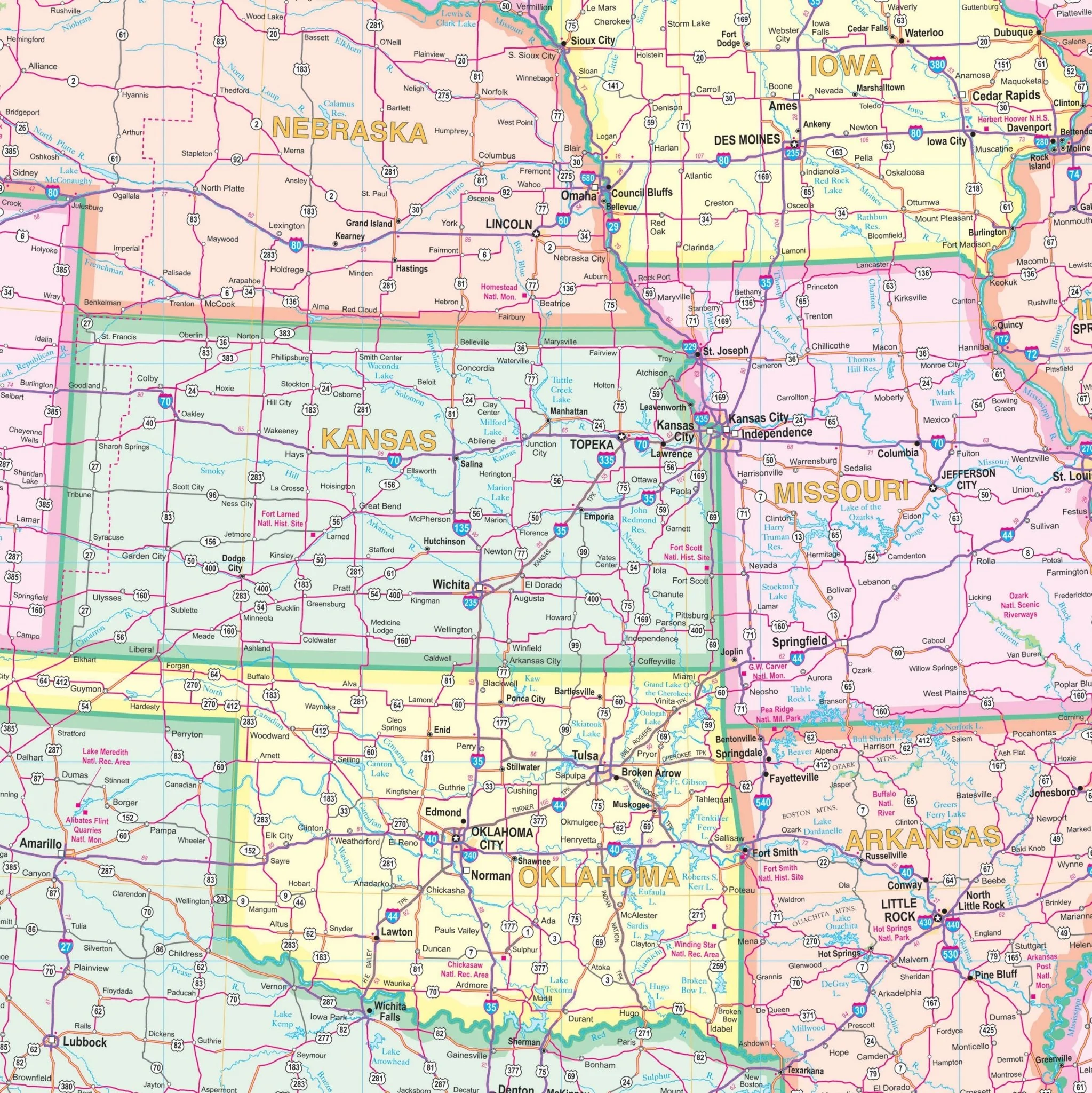
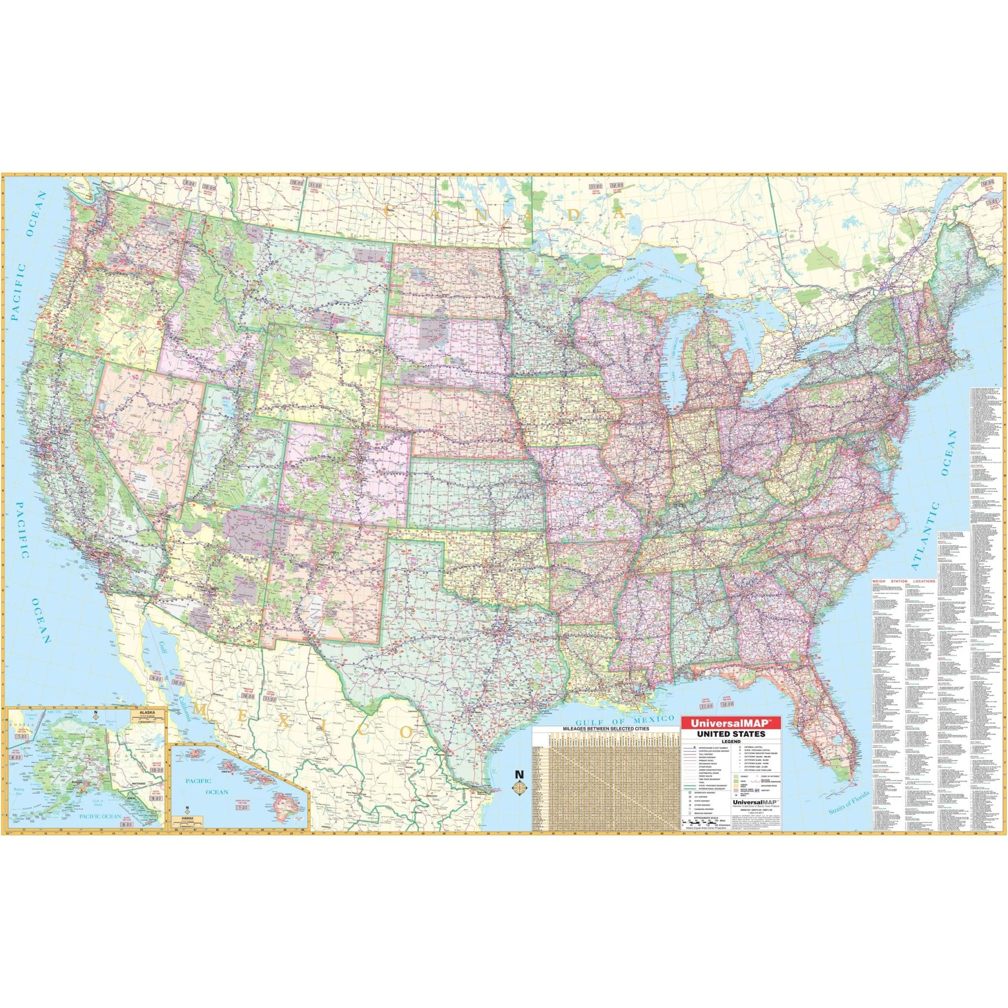
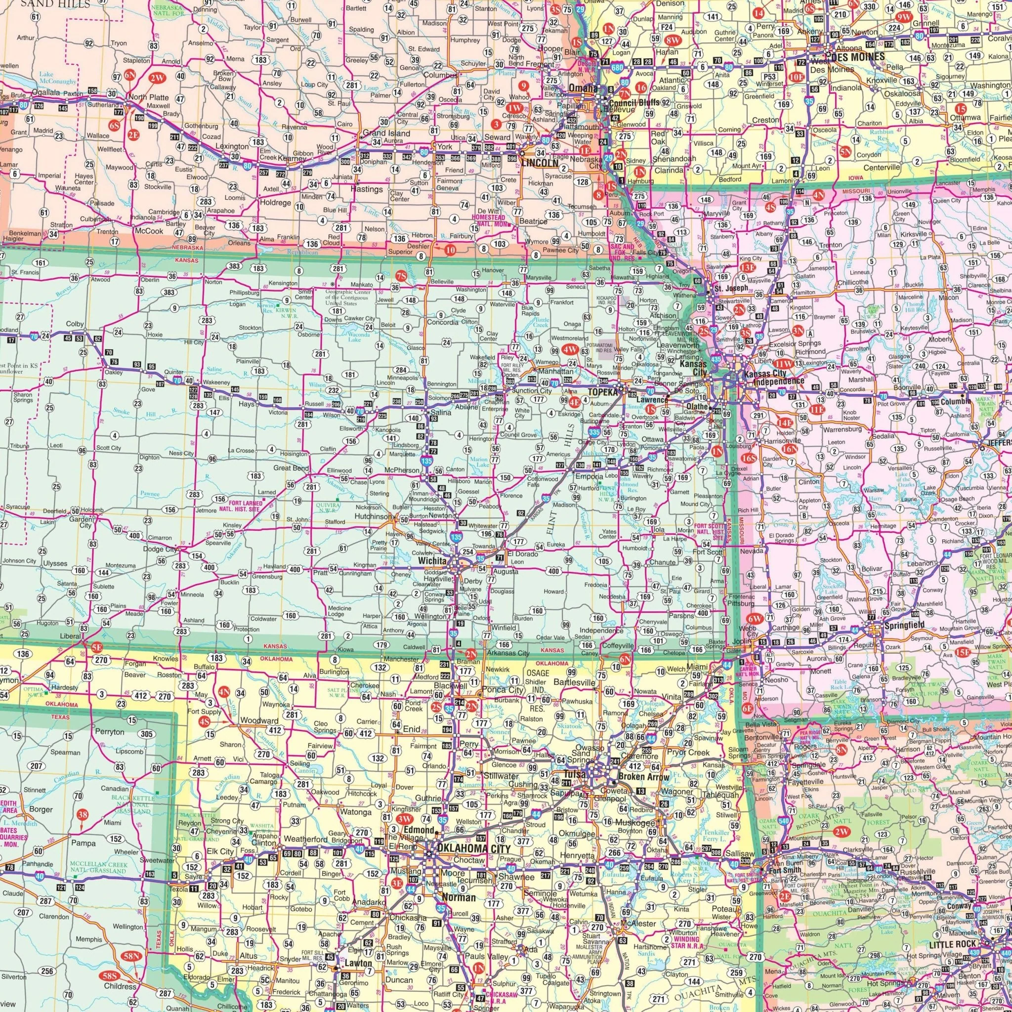
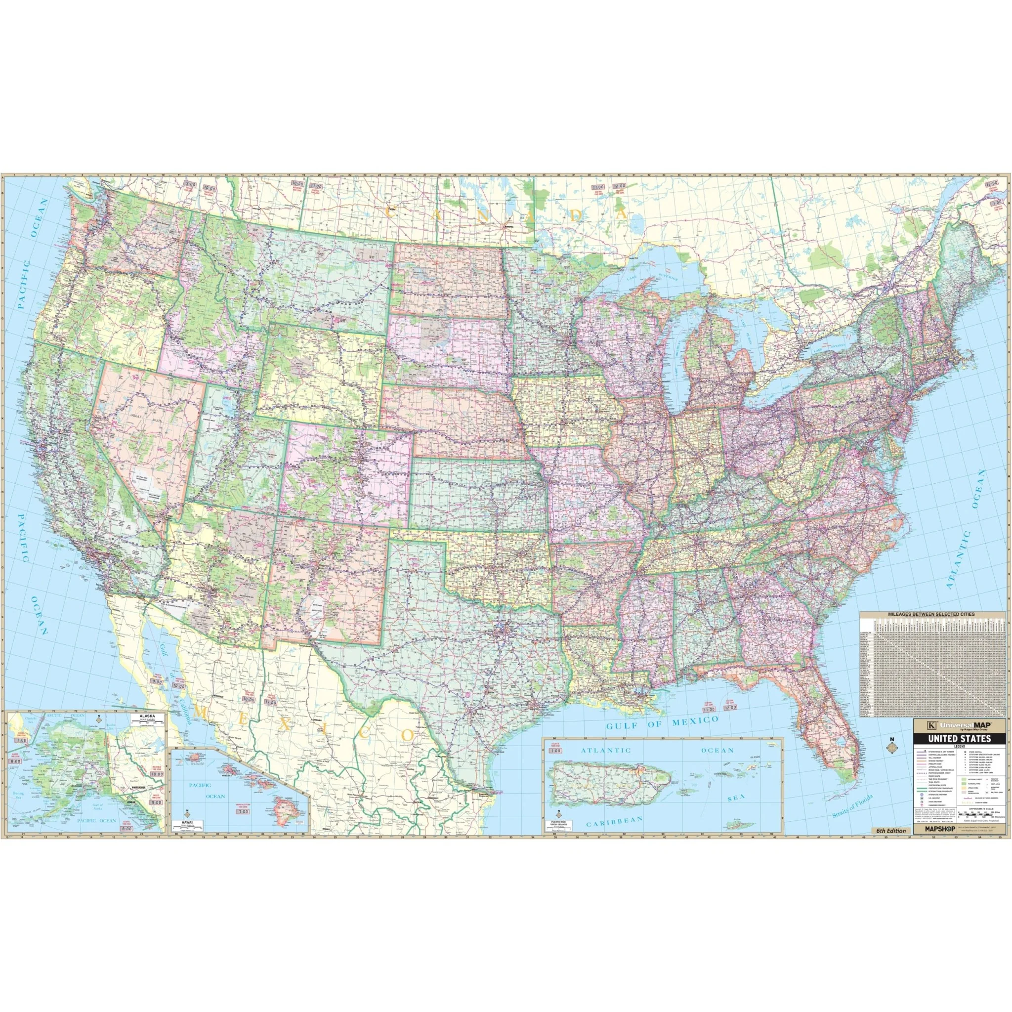
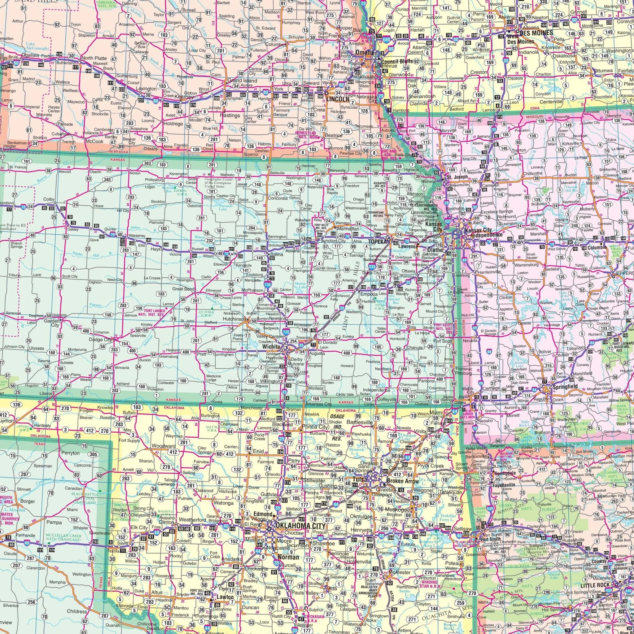
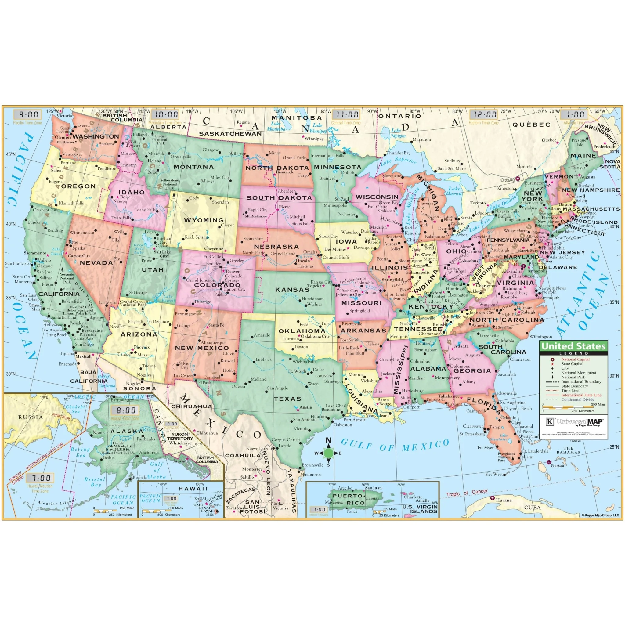
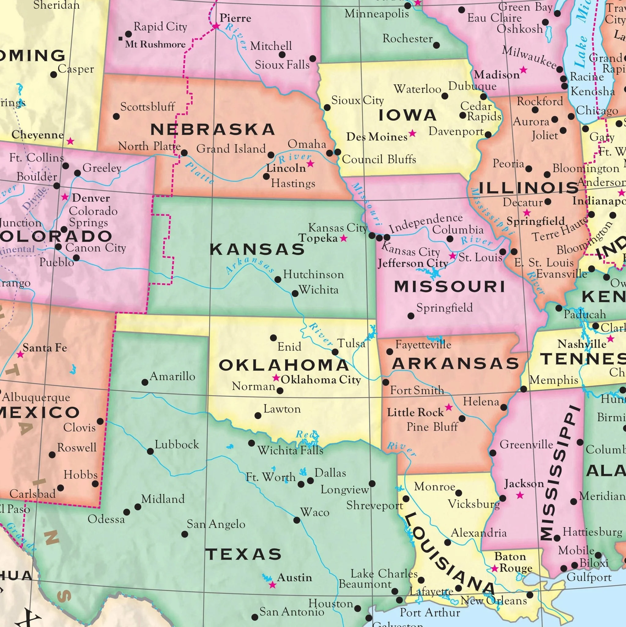
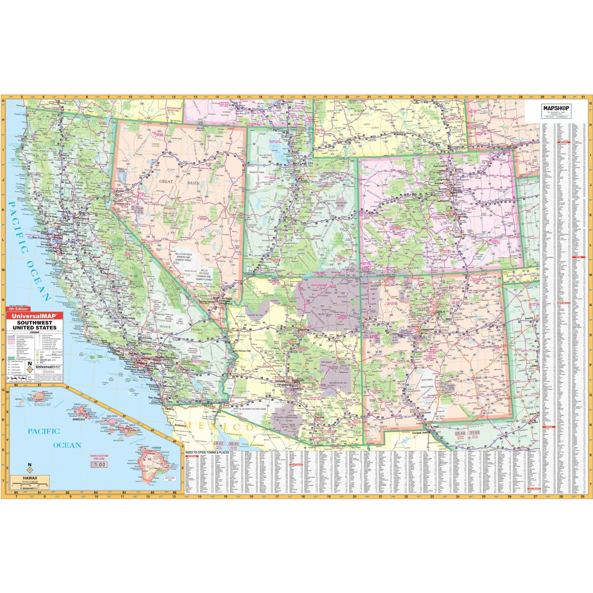
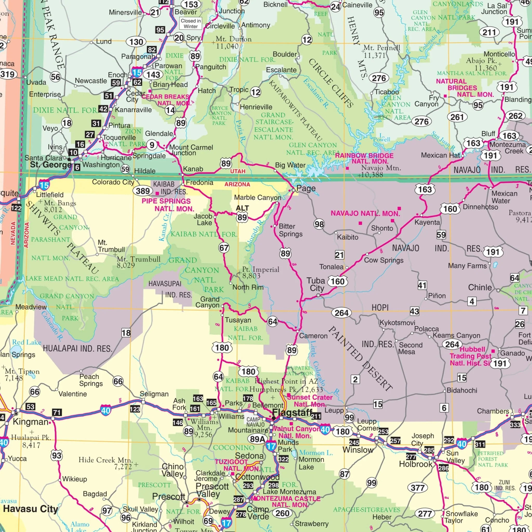
The Southwest United States Regional Wall Map by Kappa Map Group provides a detailed view of the southwestern region of the United States, covering states including California, Nevada, Utah, Arizona, Colorado, New Mexico, and Texas. It features thorough road networks, state boundaries, and geographic landmarks such as the Grand Canyon and the Sierra Nevada mountain range. Insets of key urban areas offer closer views of city infrastructures. An expansive index on the side lists cities, national parks, and other points of interest, complete with grid coordinates for ease of use. This map is particularly useful for individuals seeking to understand the vast and varied landscapes of the Southwest, from the Pacific Coast to the Rocky Mountains.
- Arizona
- California
- Colorado
- Hawaii
- Nevada
- New Mexico
- Utah
The boundaries of the map are as follows:
- North: Includes southern Oregon to Scotts Bluff, Nebraska
- South: From Tijuana, Mexico to Odessa, Texas
- East: Includes western Nebraska to Odessa, Texas
- West: To the Pacific Ocean
Size: 69" x 49"
Published: 2009
Original: $139.99
-70%$139.99
$42.00Product Information
Product Information
Shipping & Returns
Shipping & Returns
Description
The Southwest United States Regional Wall Map by Kappa Map Group provides a detailed view of the southwestern region of the United States, covering states including California, Nevada, Utah, Arizona, Colorado, New Mexico, and Texas. It features thorough road networks, state boundaries, and geographic landmarks such as the Grand Canyon and the Sierra Nevada mountain range. Insets of key urban areas offer closer views of city infrastructures. An expansive index on the side lists cities, national parks, and other points of interest, complete with grid coordinates for ease of use. This map is particularly useful for individuals seeking to understand the vast and varied landscapes of the Southwest, from the Pacific Coast to the Rocky Mountains.
- Arizona
- California
- Colorado
- Hawaii
- Nevada
- New Mexico
- Utah
The boundaries of the map are as follows:
- North: Includes southern Oregon to Scotts Bluff, Nebraska
- South: From Tijuana, Mexico to Odessa, Texas
- East: Includes western Nebraska to Odessa, Texas
- West: To the Pacific Ocean
Size: 69" x 49"
Published: 2009