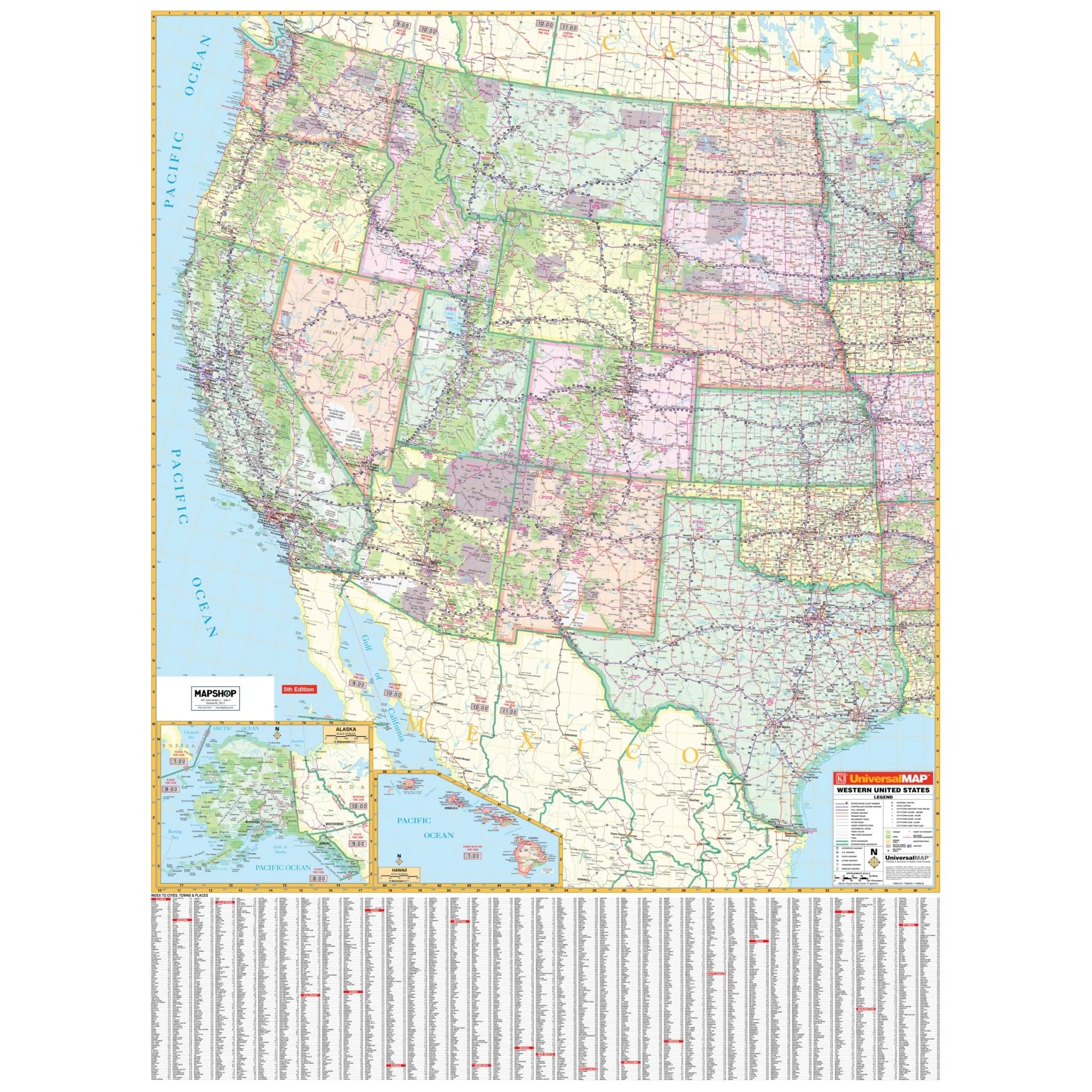


Northwest United States Regional Wall Map
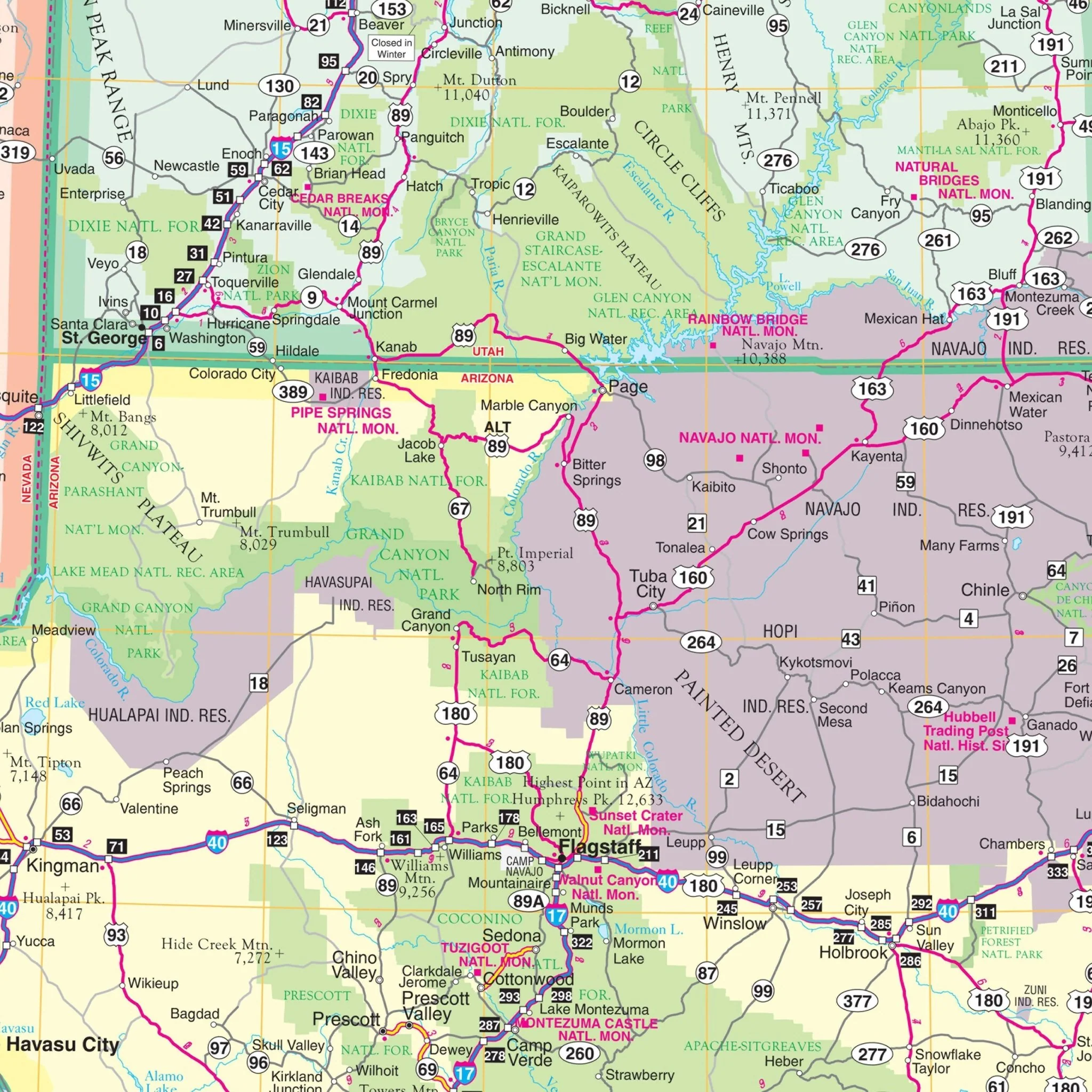
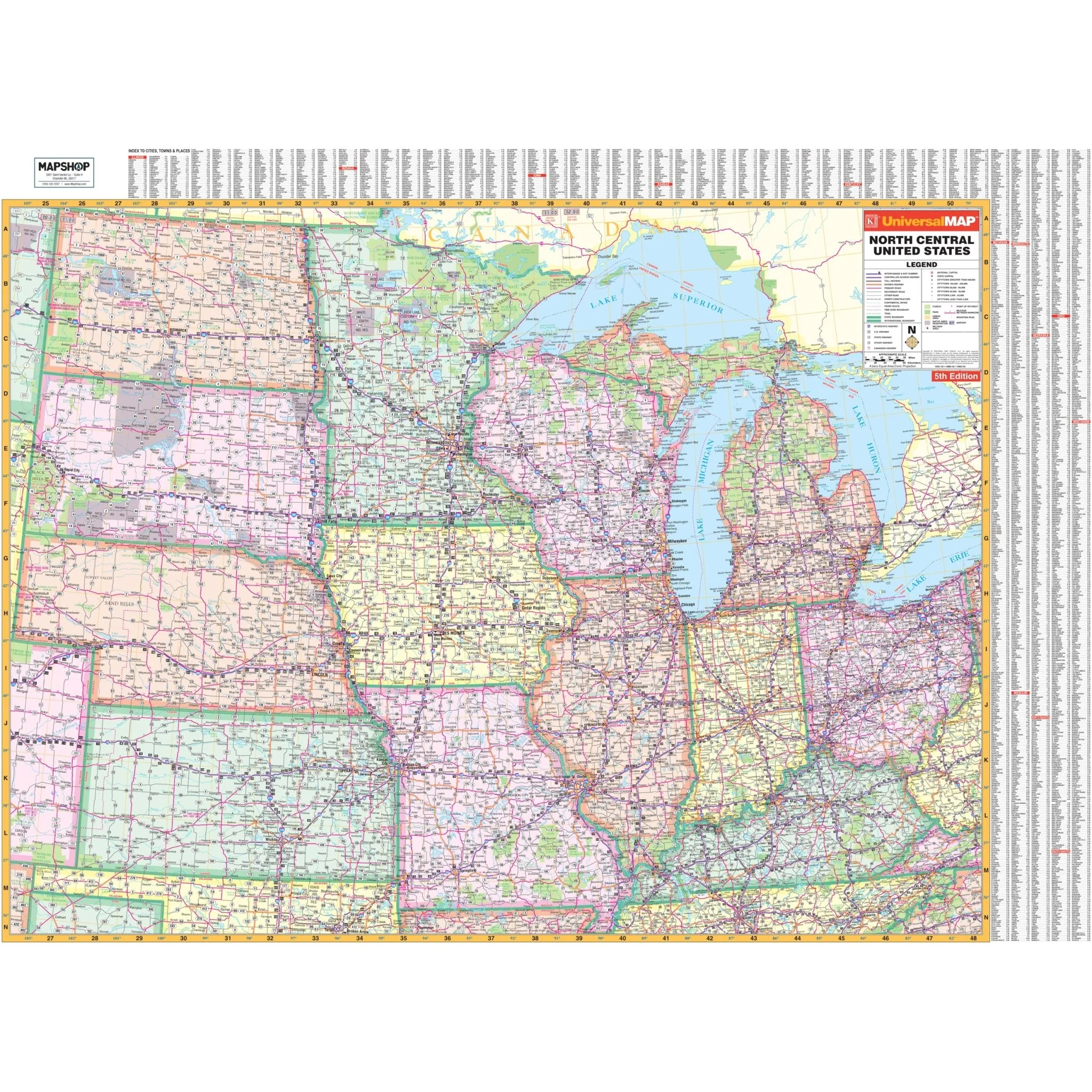
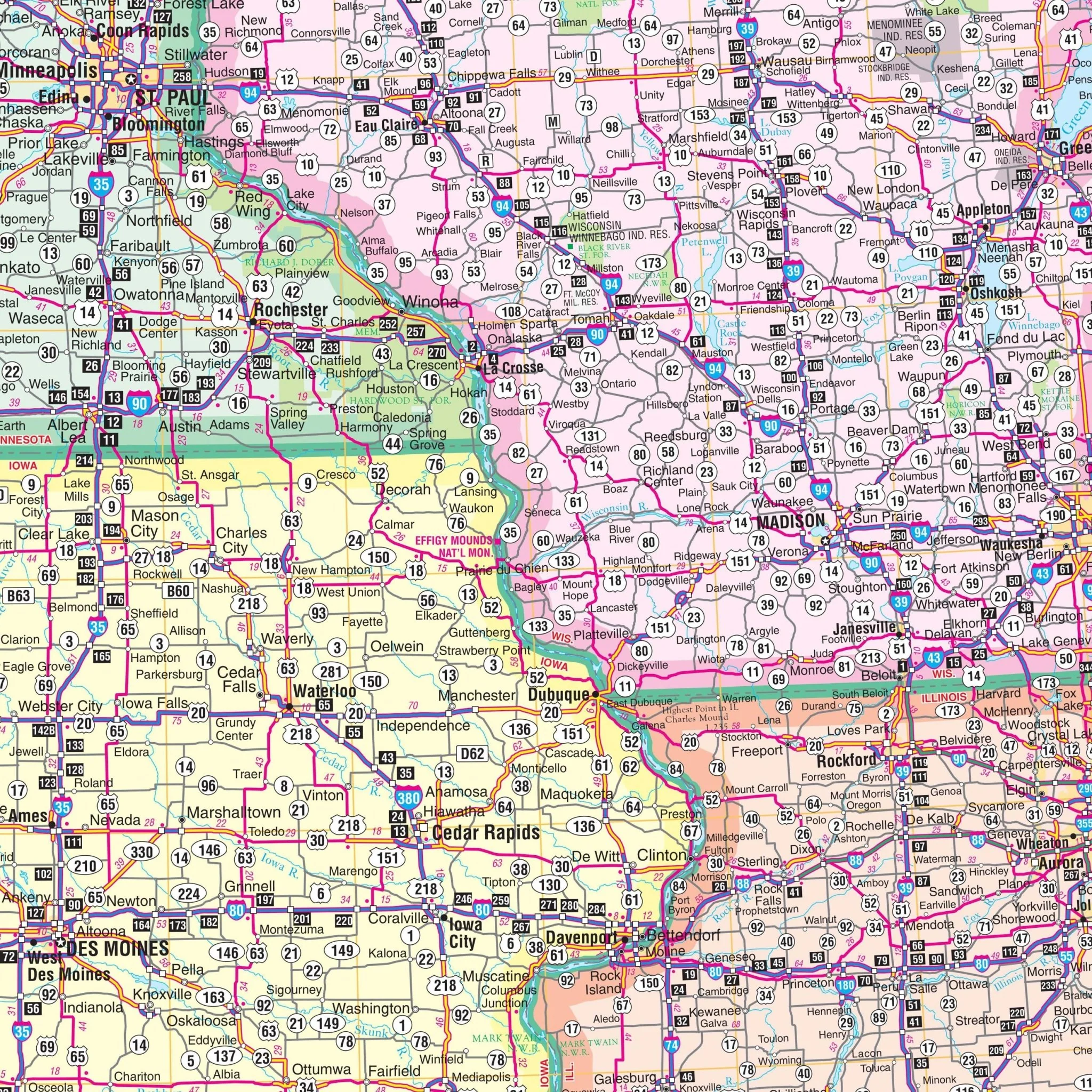
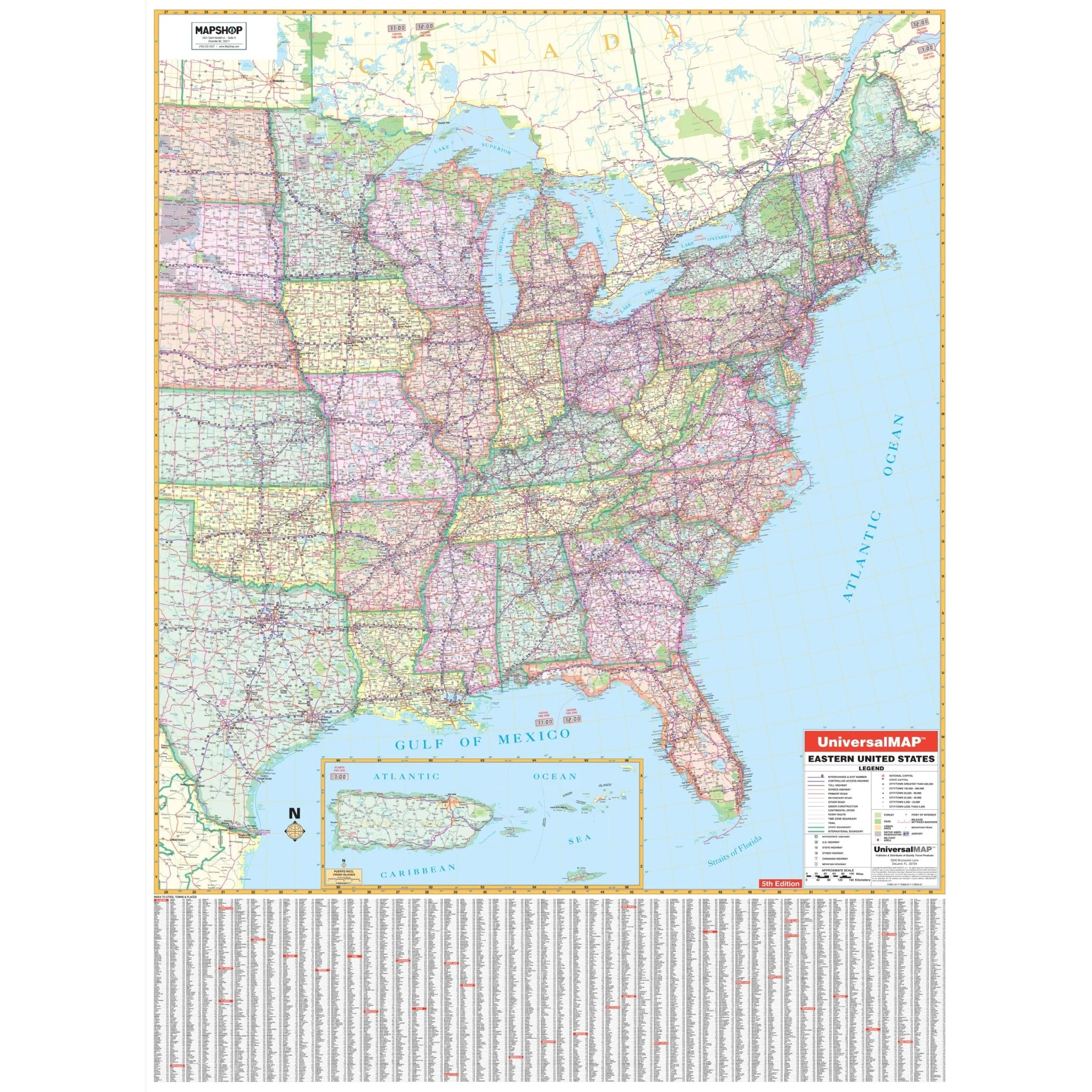
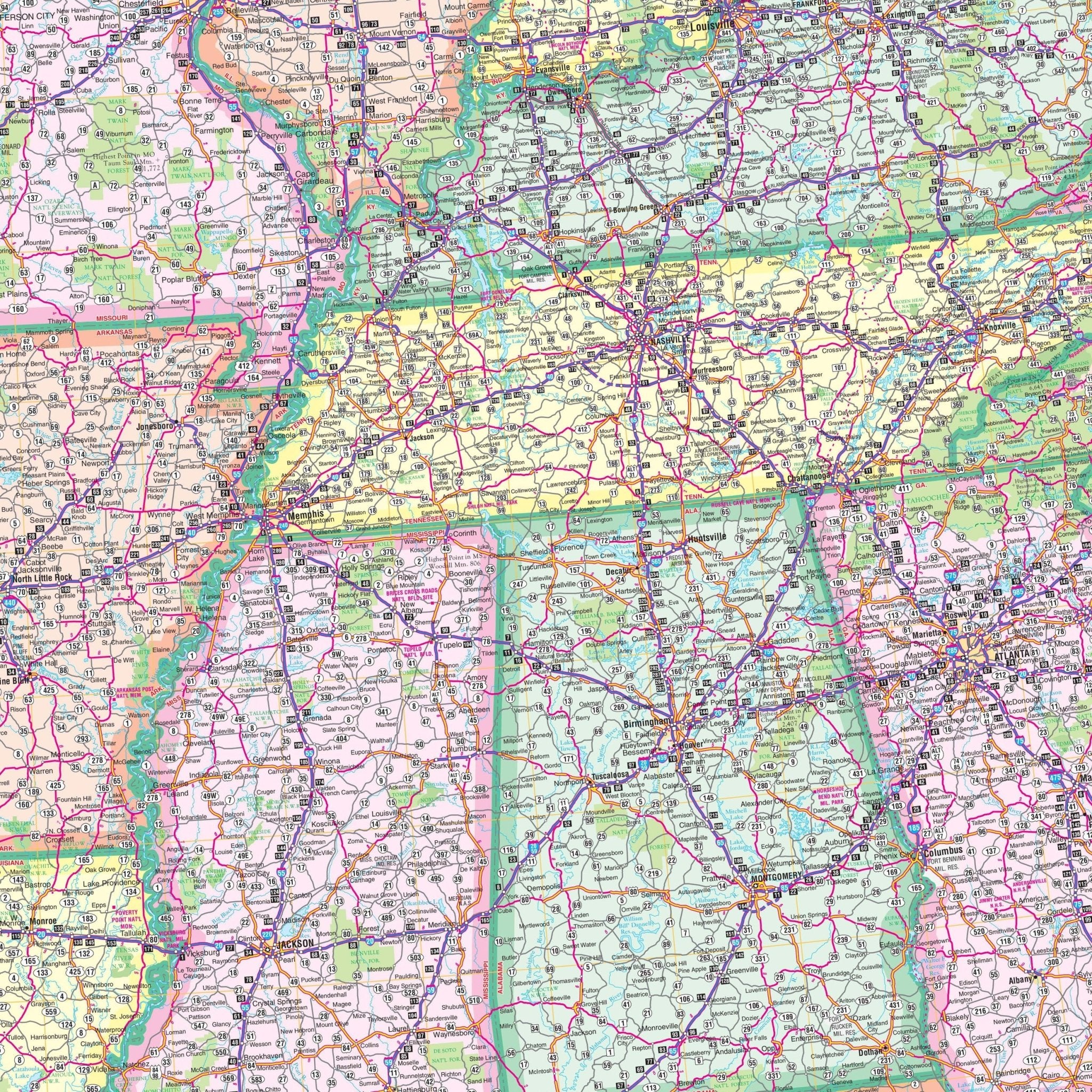
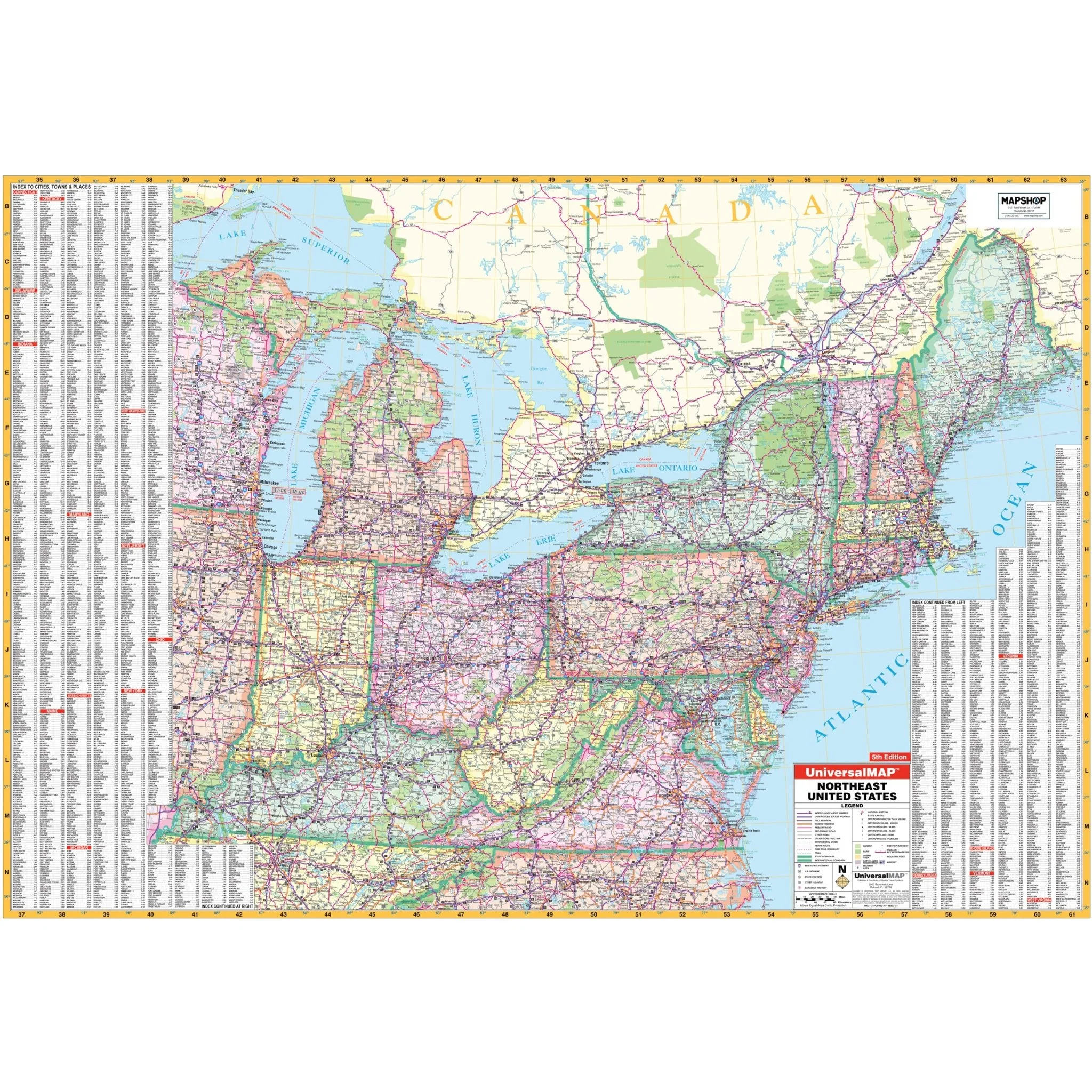
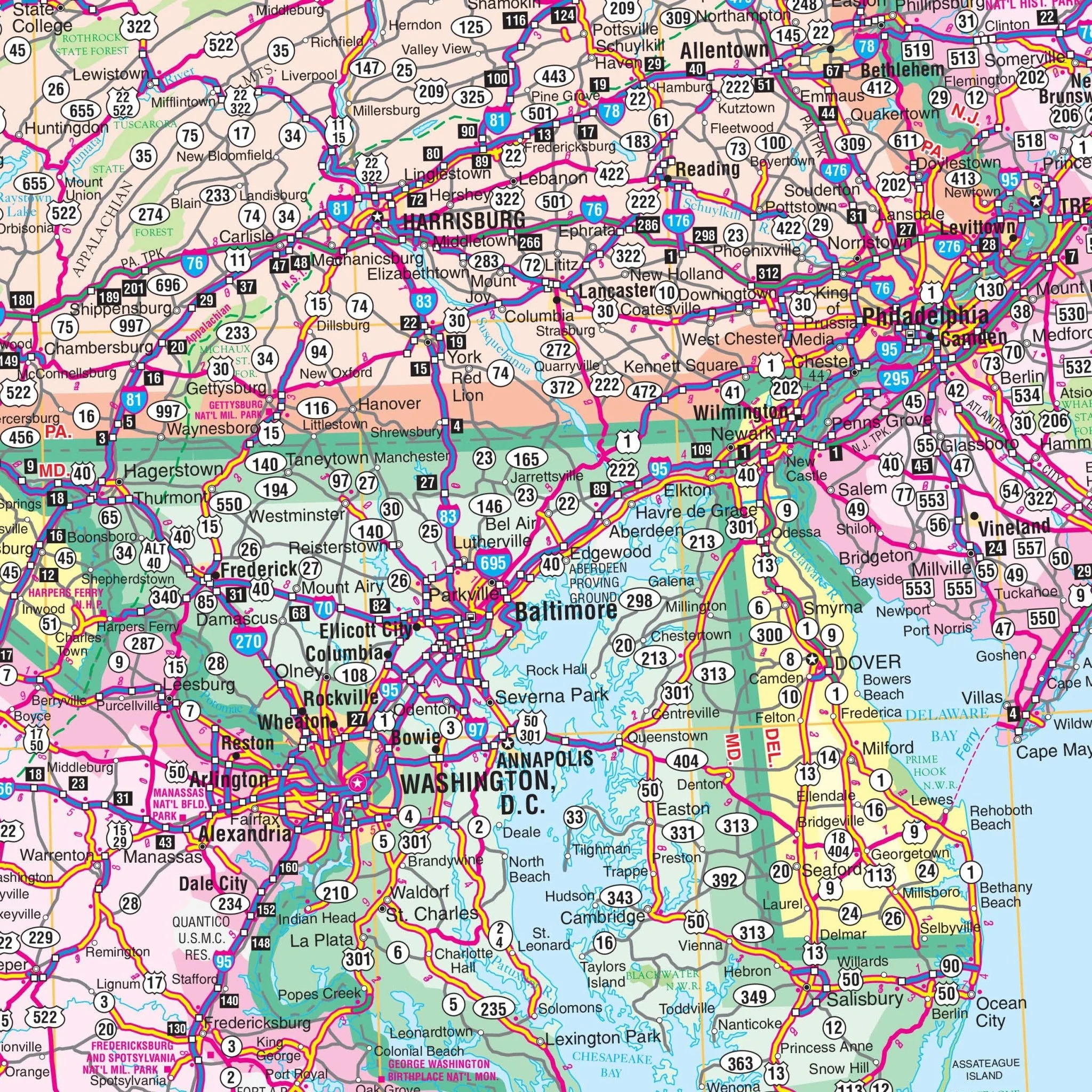
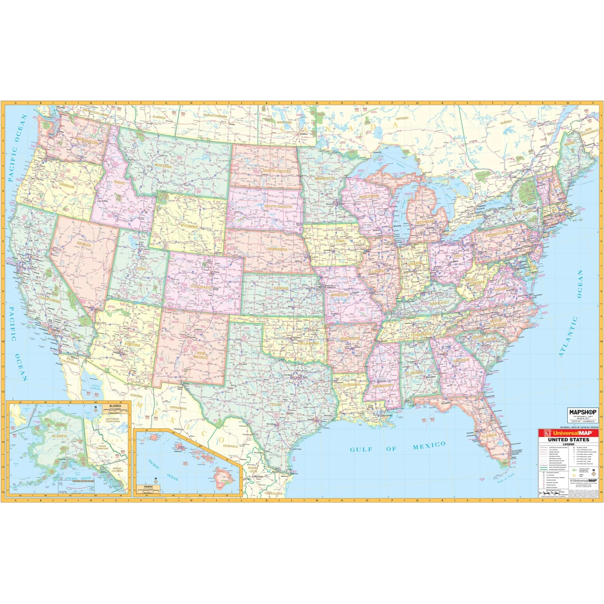
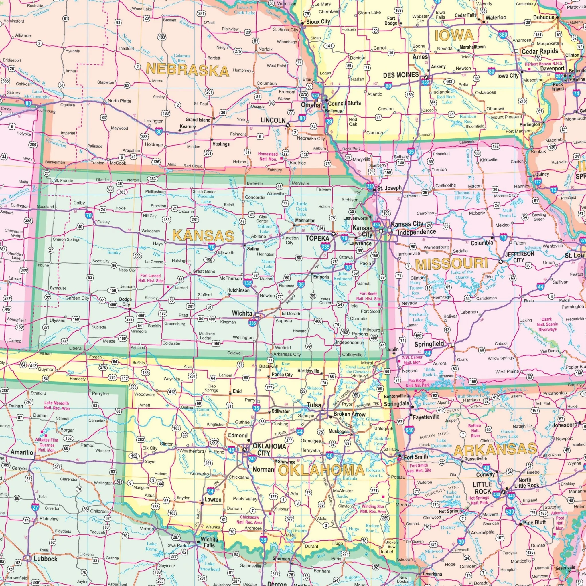
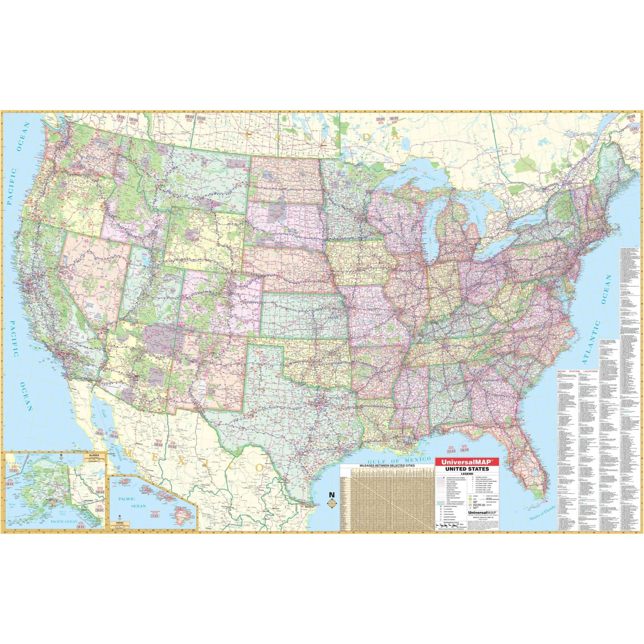
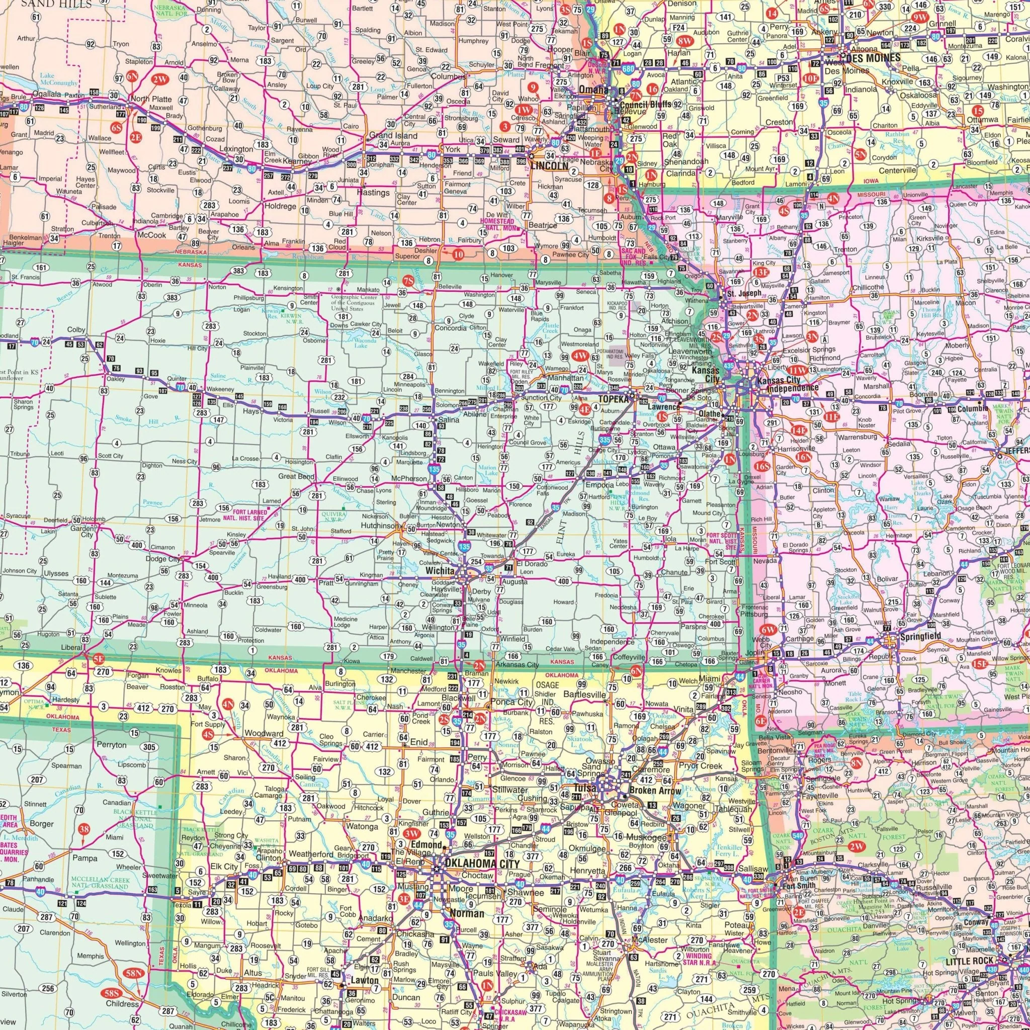
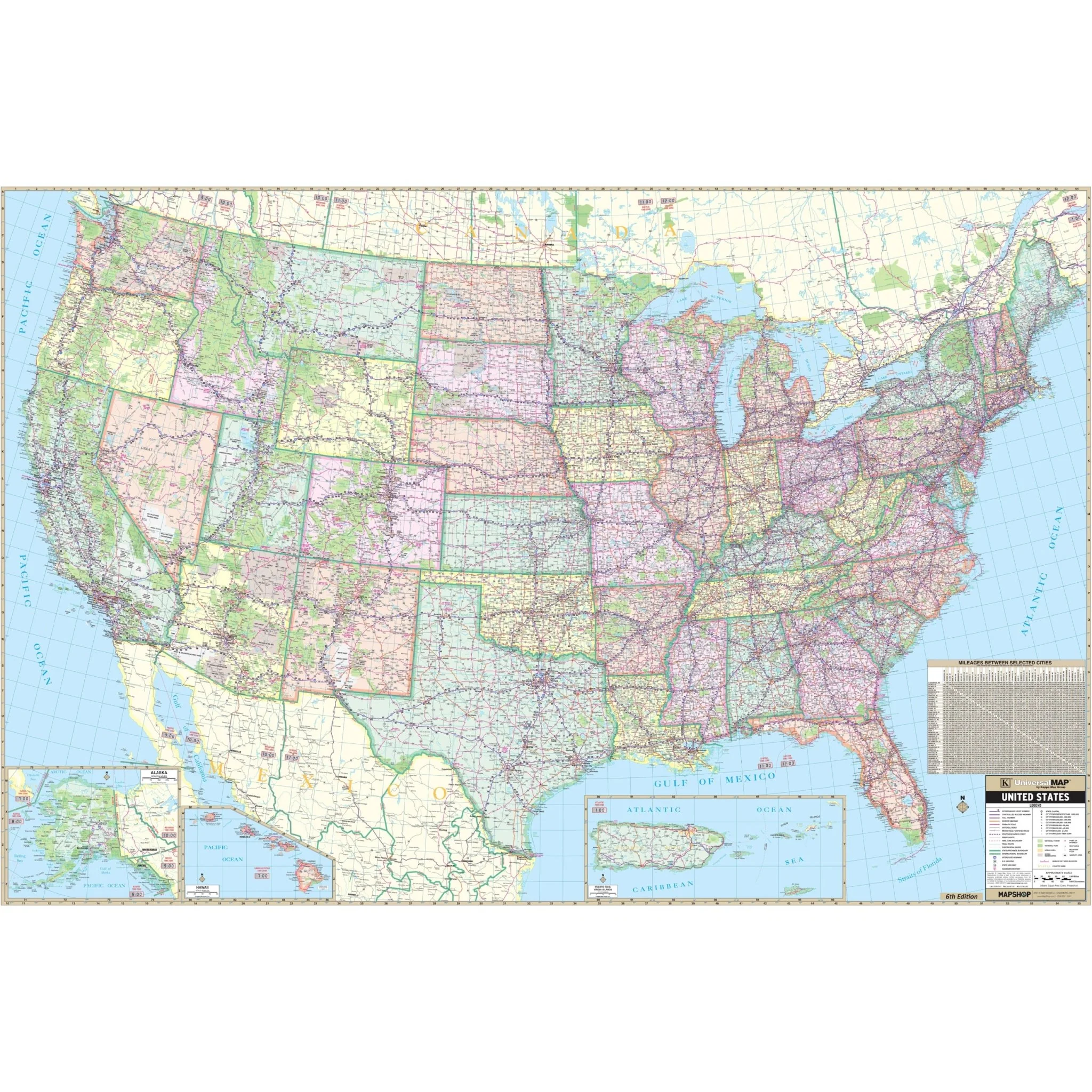
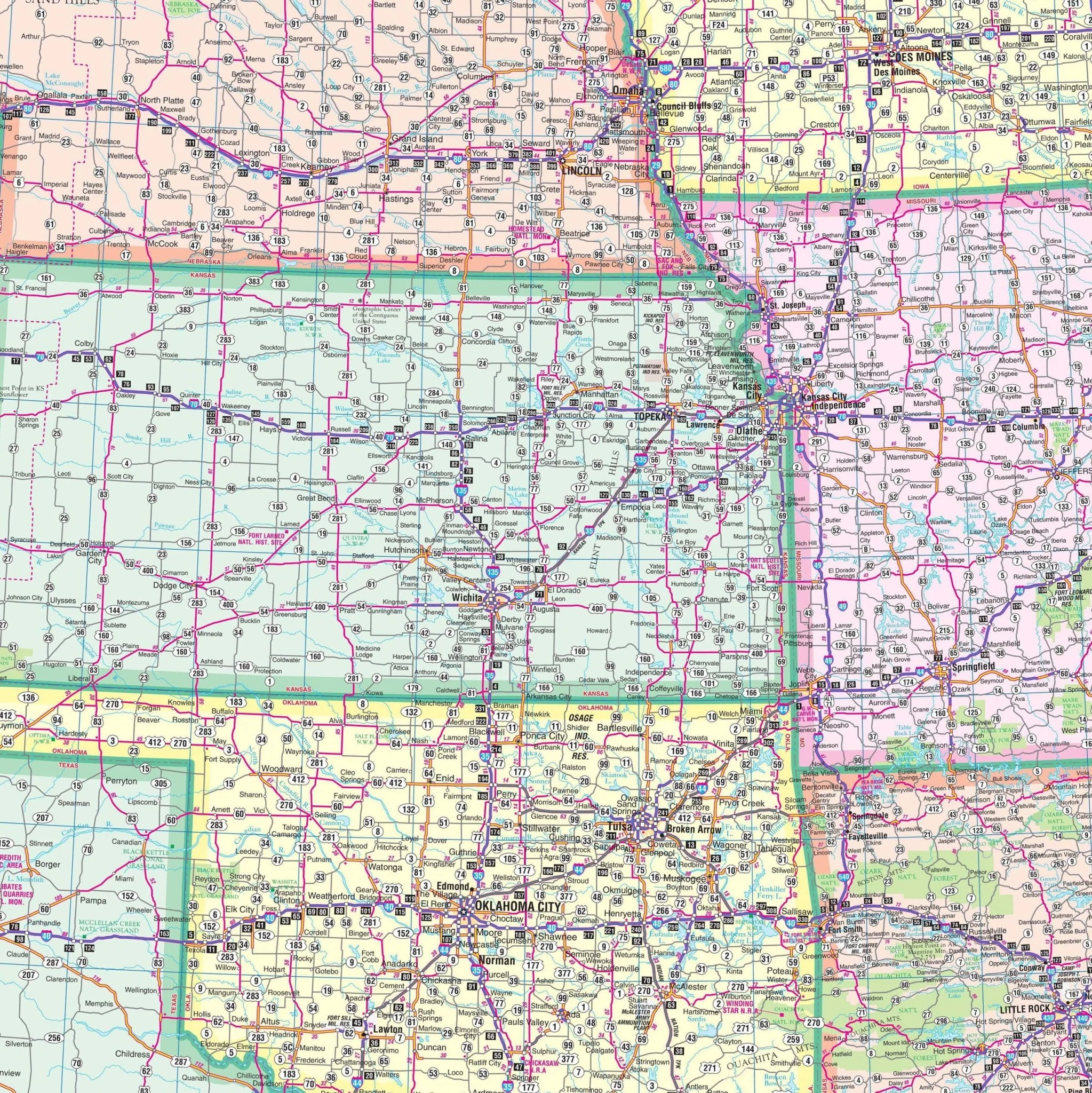
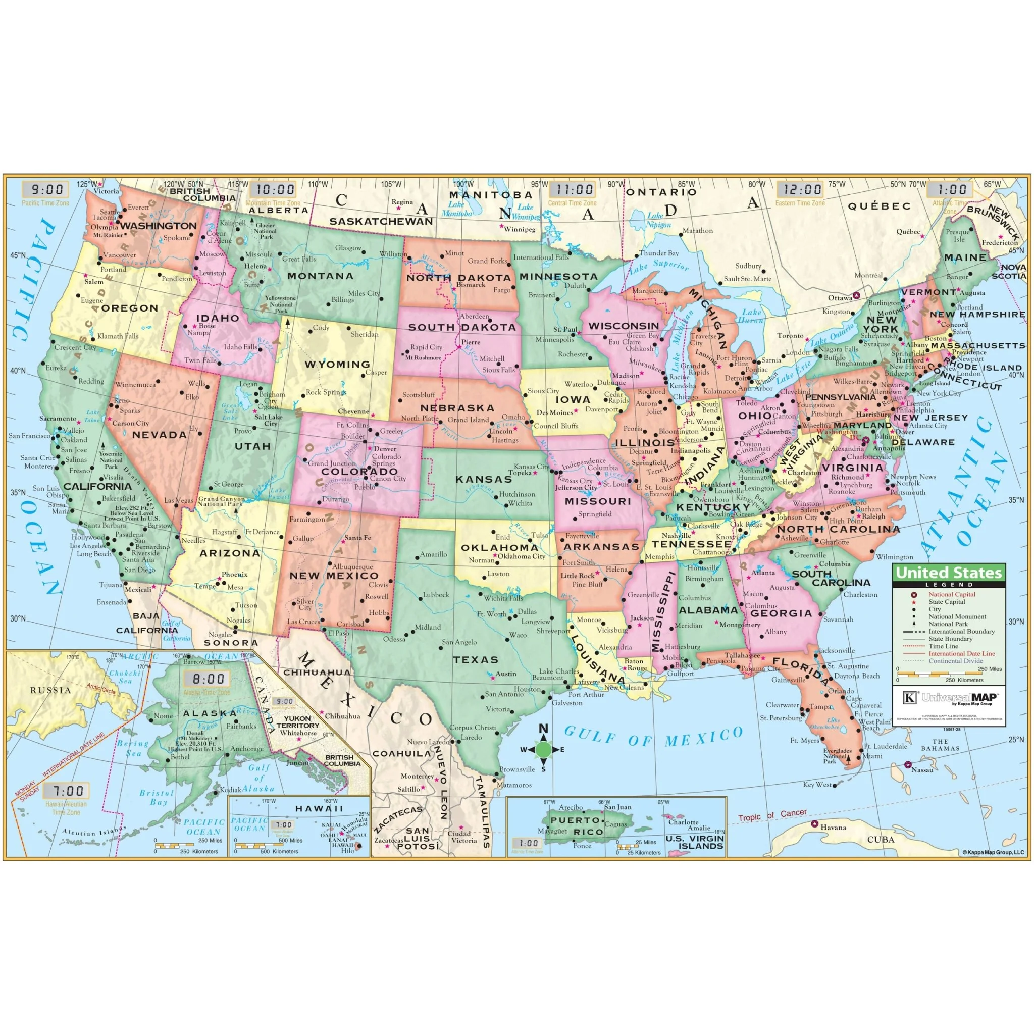
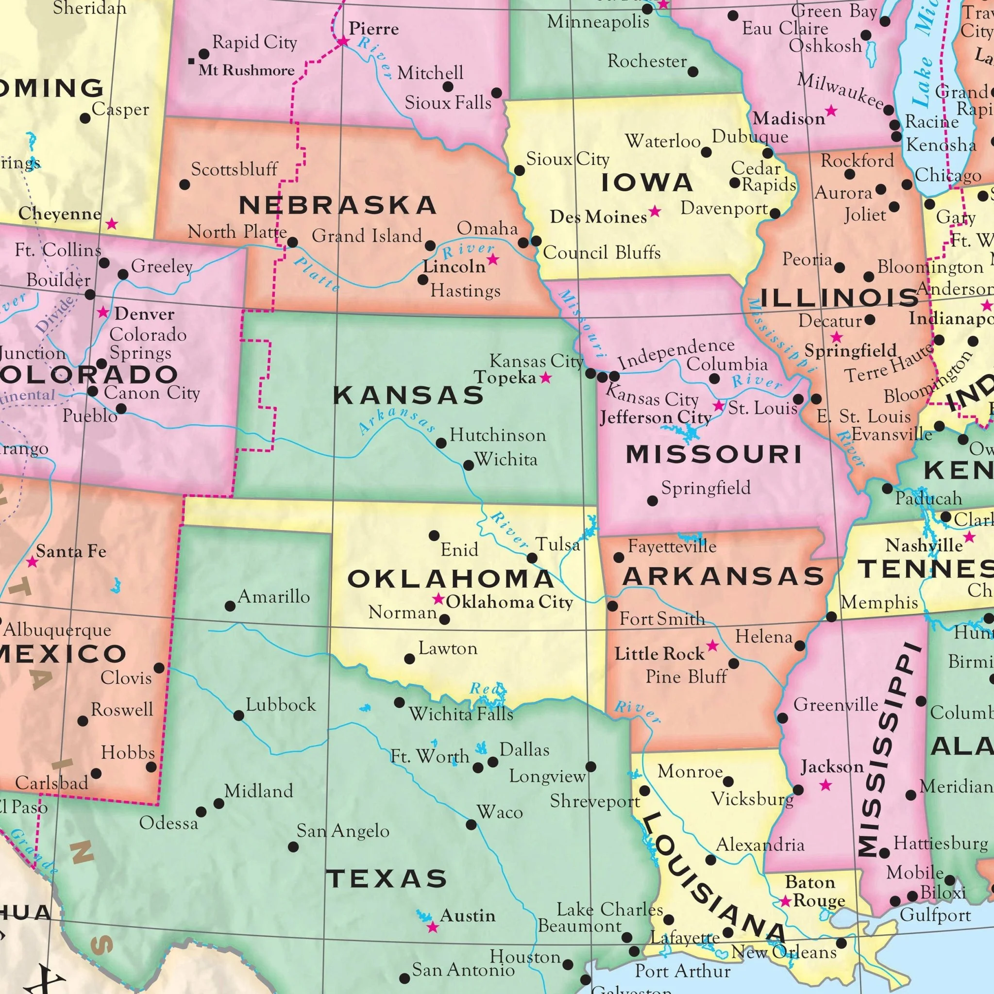
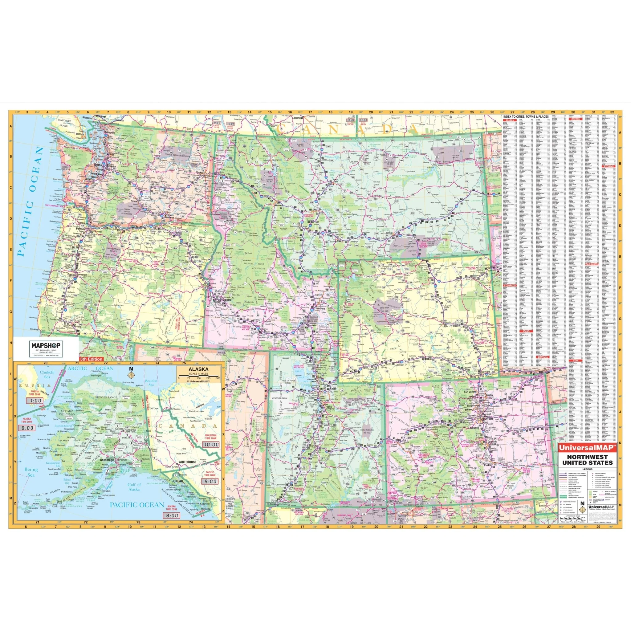
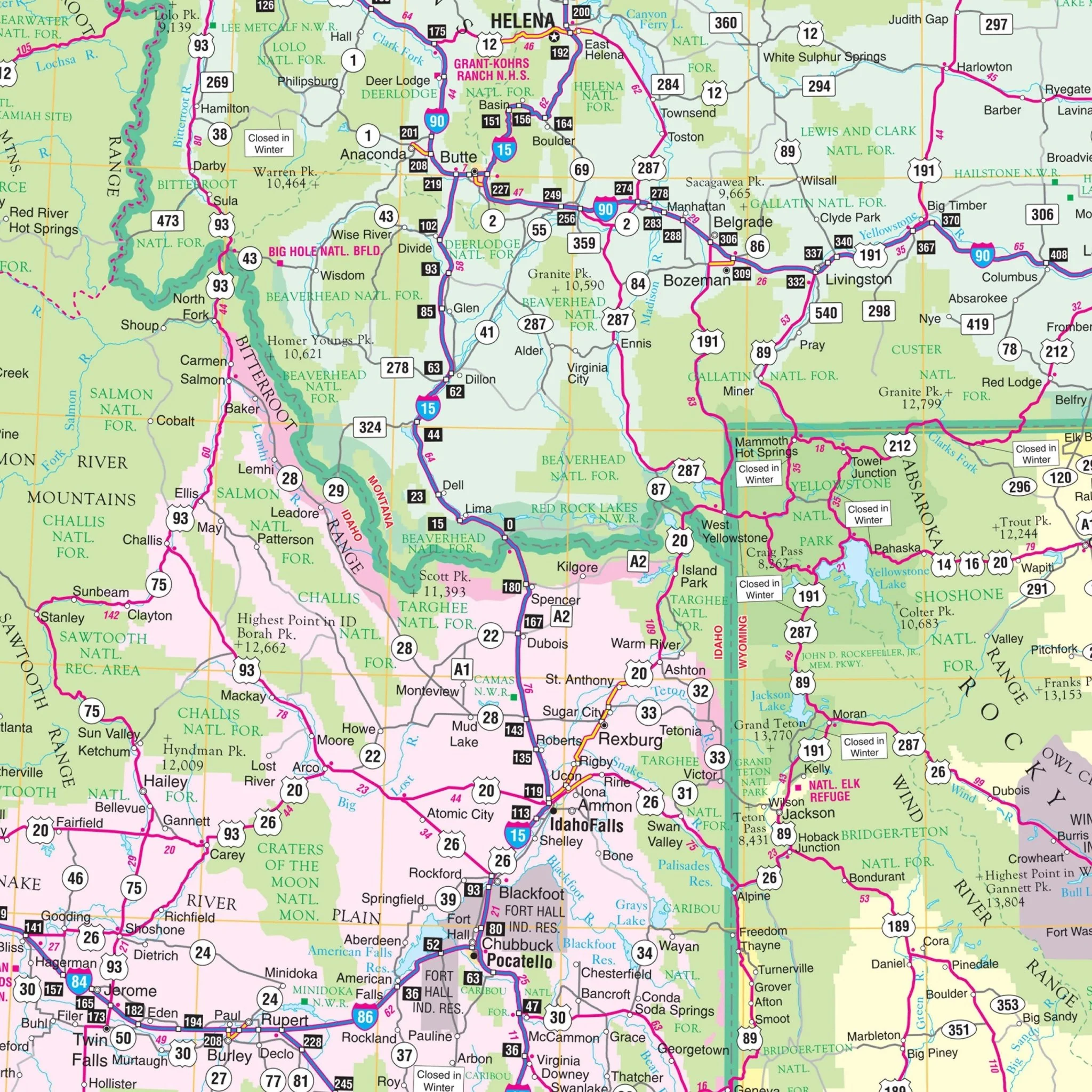
The Northwest United States Regional Wall Map by Kappa Map Group is an extensive depiction of the Pacific Northwest region, featuring detailed roadways including highways, major streets, and various routes across states like Washington, Oregon, and parts of Idaho and Montana. Insets of Alaska and the Seattle metropolitan area provide additional detail, highlighting significant urban roads and features in these locations. An exhaustive index on the right-hand side lists cities and towns, paired with a corresponding grid system to aid in navigation. The map covers diverse geographical features from the rugged Pacific coastline to the mountainous inland terrains, providing context for the urban and natural landscapes of the region. This map is a practical reference tool for those looking to explore or understand the vast and varied topography of the Northwest United States.
- Alaska
- Colorado
- Idaho
- Montana
- Oregon
- Utah
- Washington
- Wyoming
Boundaries are as follows:
- North: includes Vancouver, British Columbia, and Radville, Saskatchewan
- South: includes Overton, NV to the panhandle of Oklahoma
- East: includes Radville, Saskatchewan to the panhandle of Oklahoma
- West: to the Pacific Ocean
Size: 64" x 46"
Published: 2009
Original: $139.99
-70%$139.99
$42.00Product Information
Product Information
Shipping & Returns
Shipping & Returns
Description
The Northwest United States Regional Wall Map by Kappa Map Group is an extensive depiction of the Pacific Northwest region, featuring detailed roadways including highways, major streets, and various routes across states like Washington, Oregon, and parts of Idaho and Montana. Insets of Alaska and the Seattle metropolitan area provide additional detail, highlighting significant urban roads and features in these locations. An exhaustive index on the right-hand side lists cities and towns, paired with a corresponding grid system to aid in navigation. The map covers diverse geographical features from the rugged Pacific coastline to the mountainous inland terrains, providing context for the urban and natural landscapes of the region. This map is a practical reference tool for those looking to explore or understand the vast and varied topography of the Northwest United States.
- Alaska
- Colorado
- Idaho
- Montana
- Oregon
- Utah
- Washington
- Wyoming
Boundaries are as follows:
- North: includes Vancouver, British Columbia, and Radville, Saskatchewan
- South: includes Overton, NV to the panhandle of Oklahoma
- East: includes Radville, Saskatchewan to the panhandle of Oklahoma
- West: to the Pacific Ocean
Size: 64" x 46"
Published: 2009