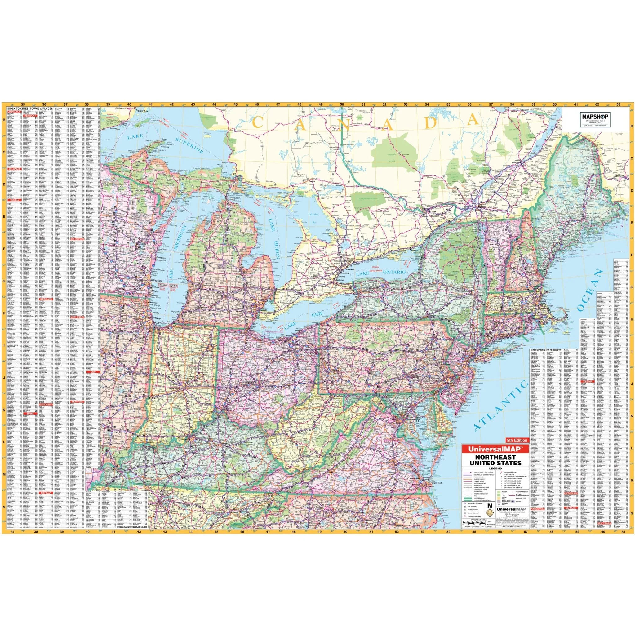


Northeast United States Regional Wall Map
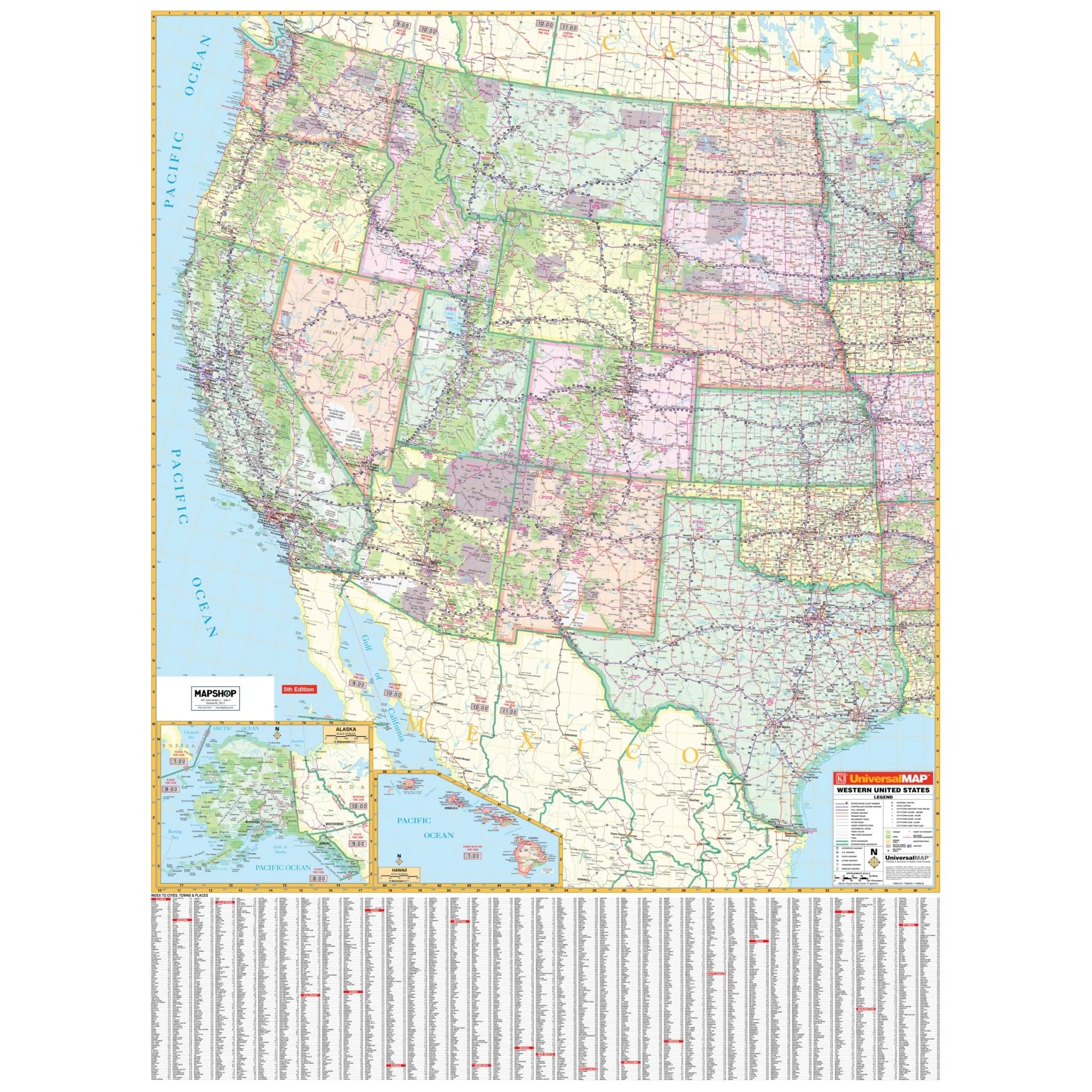
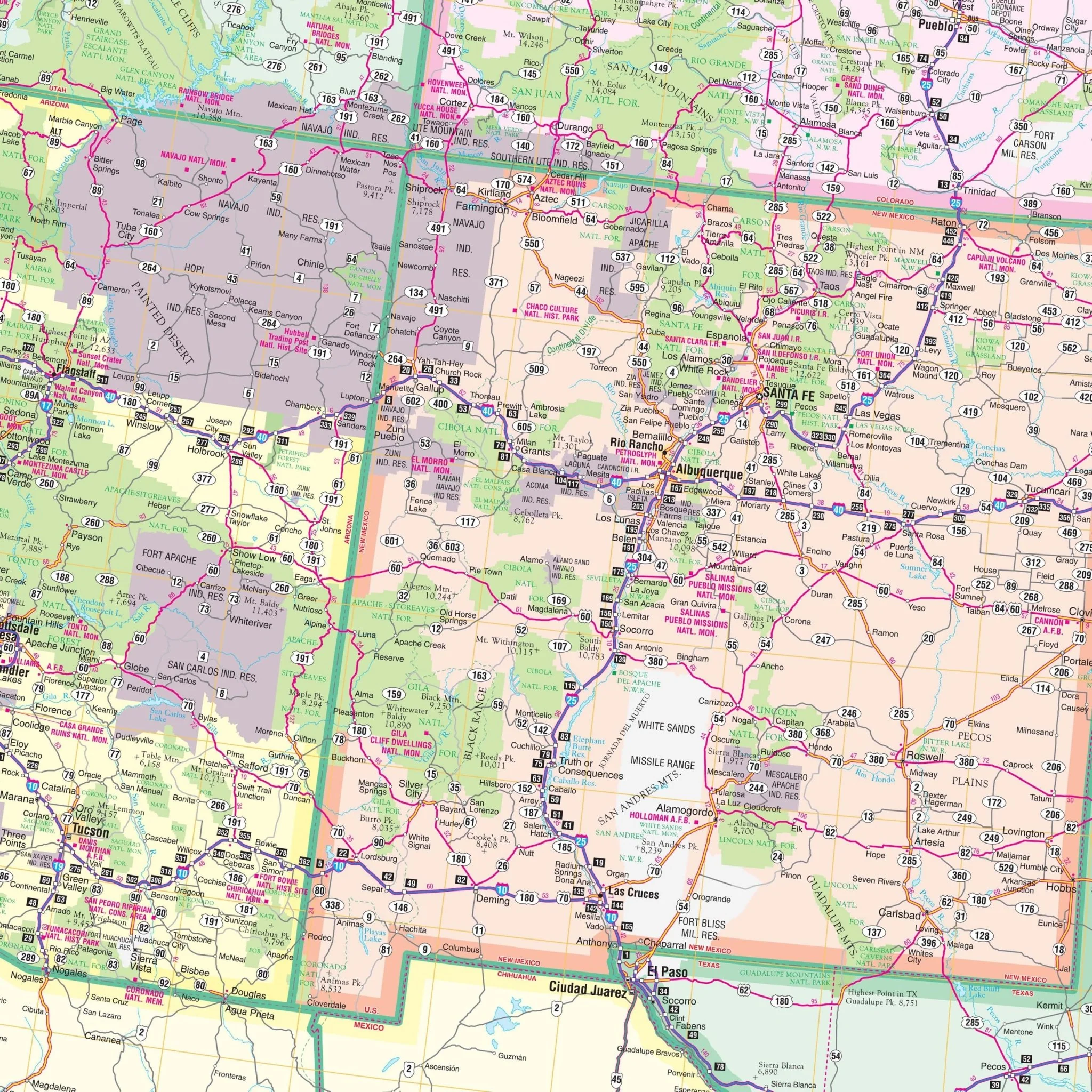
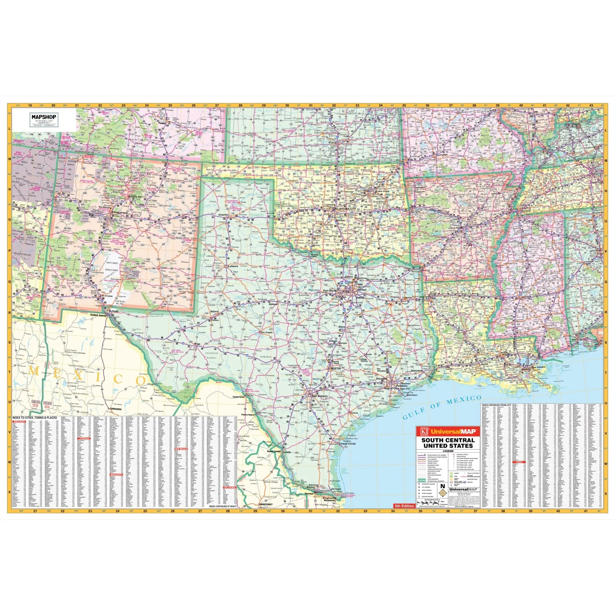
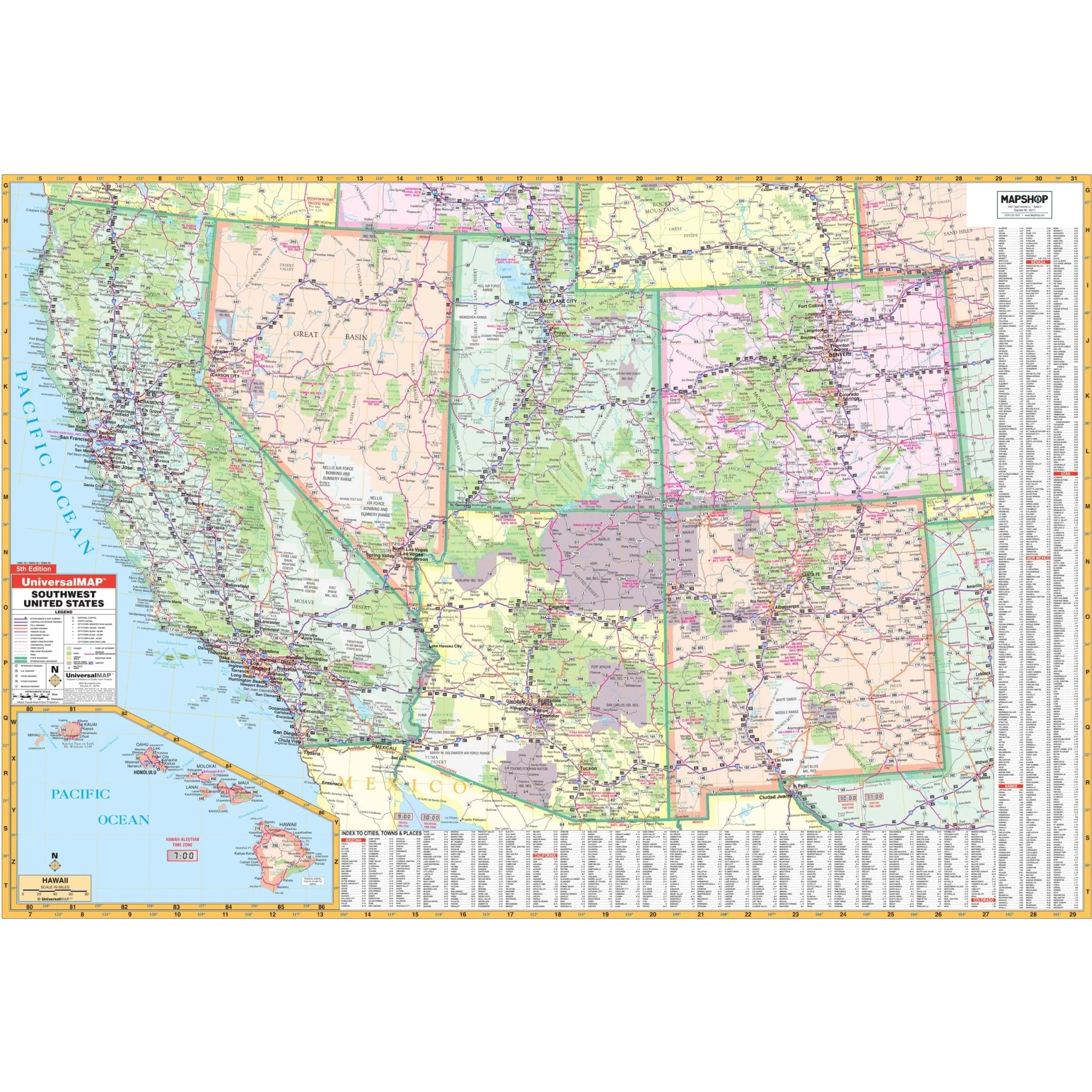
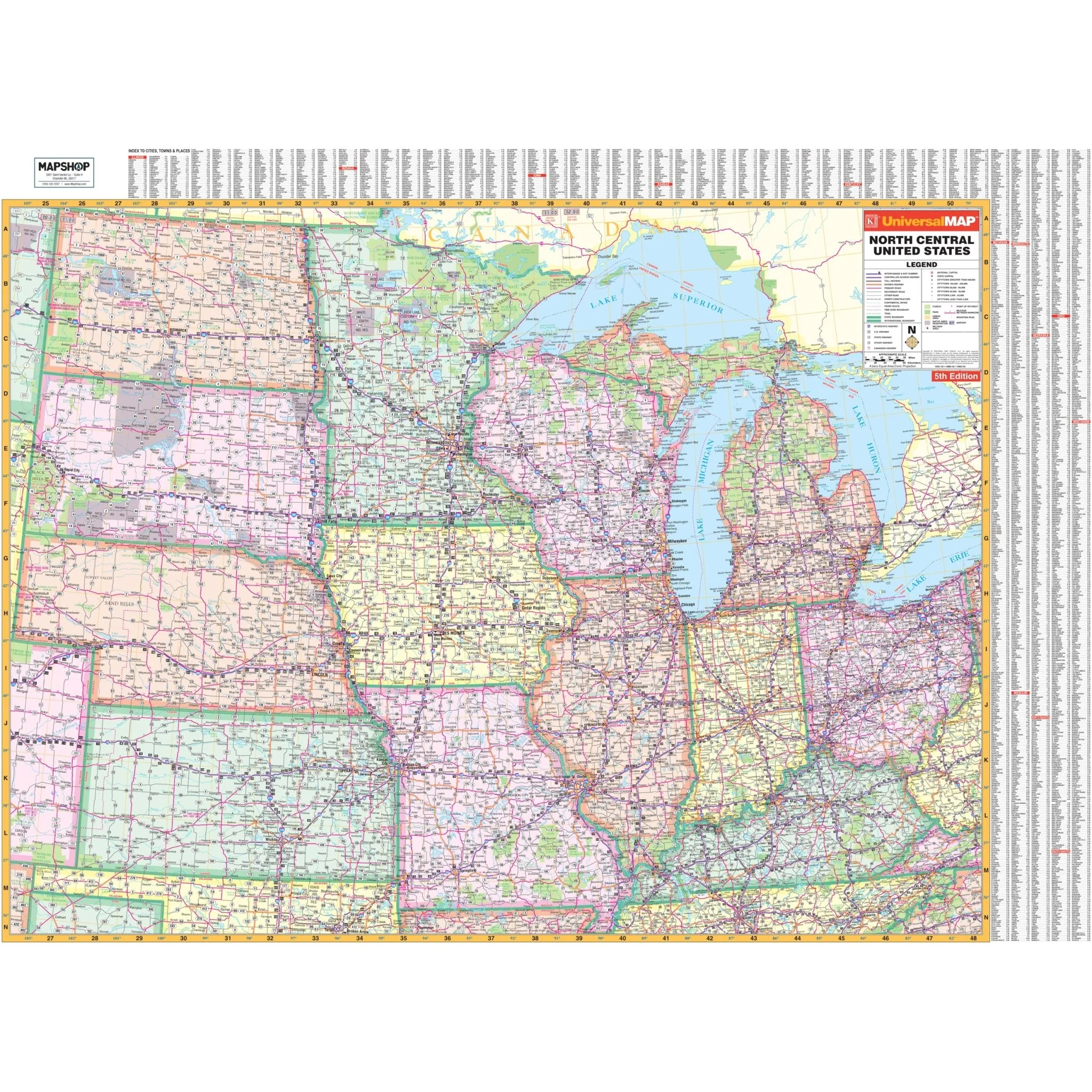
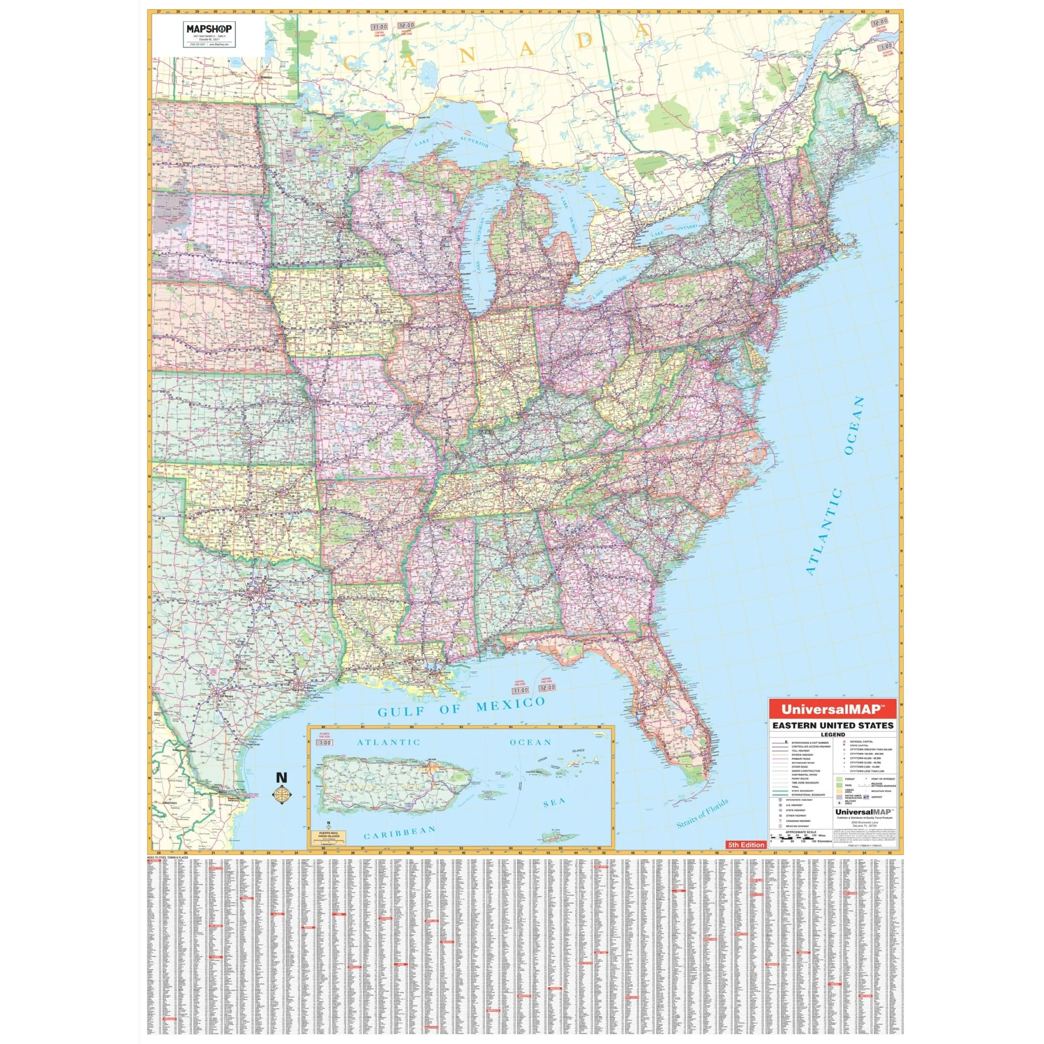
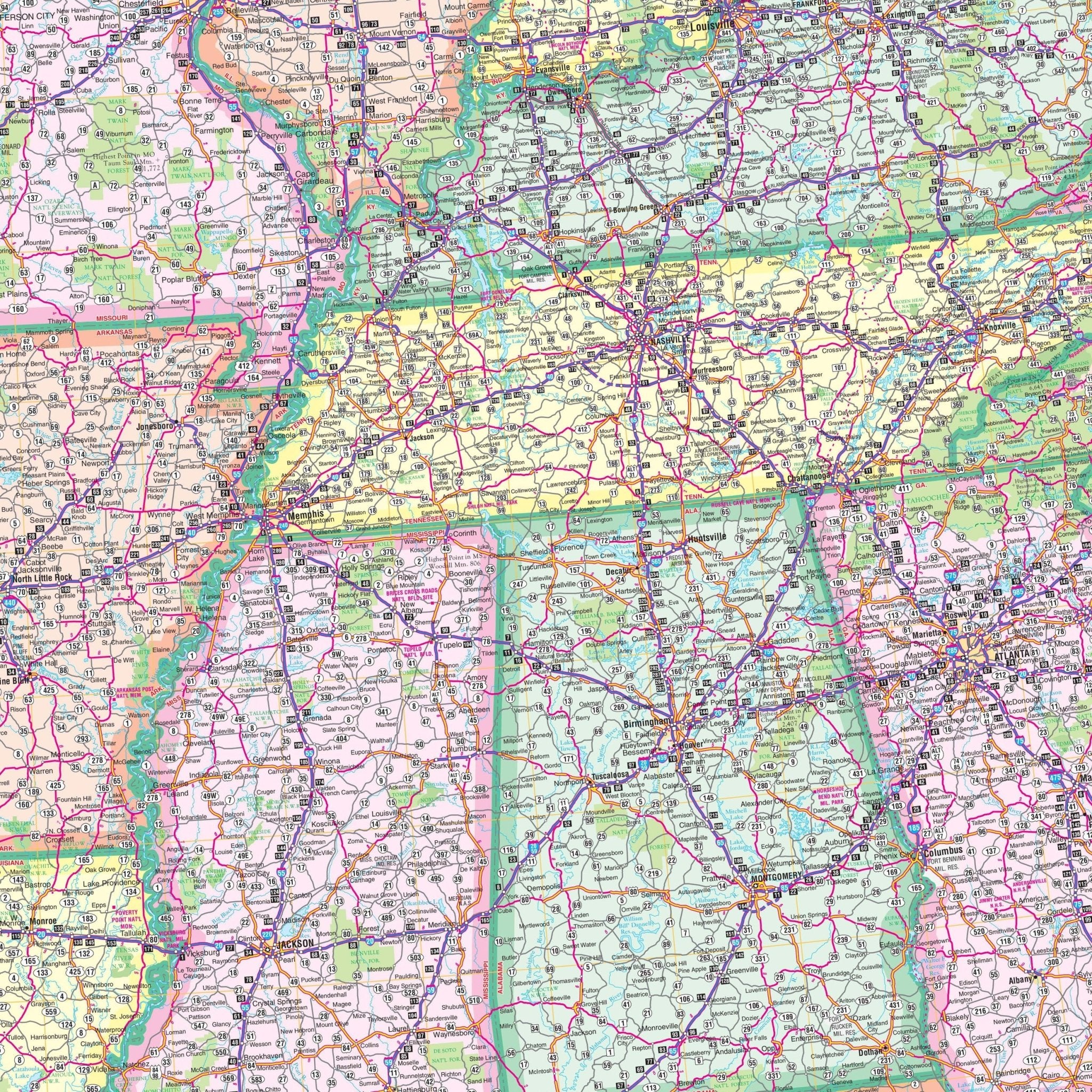
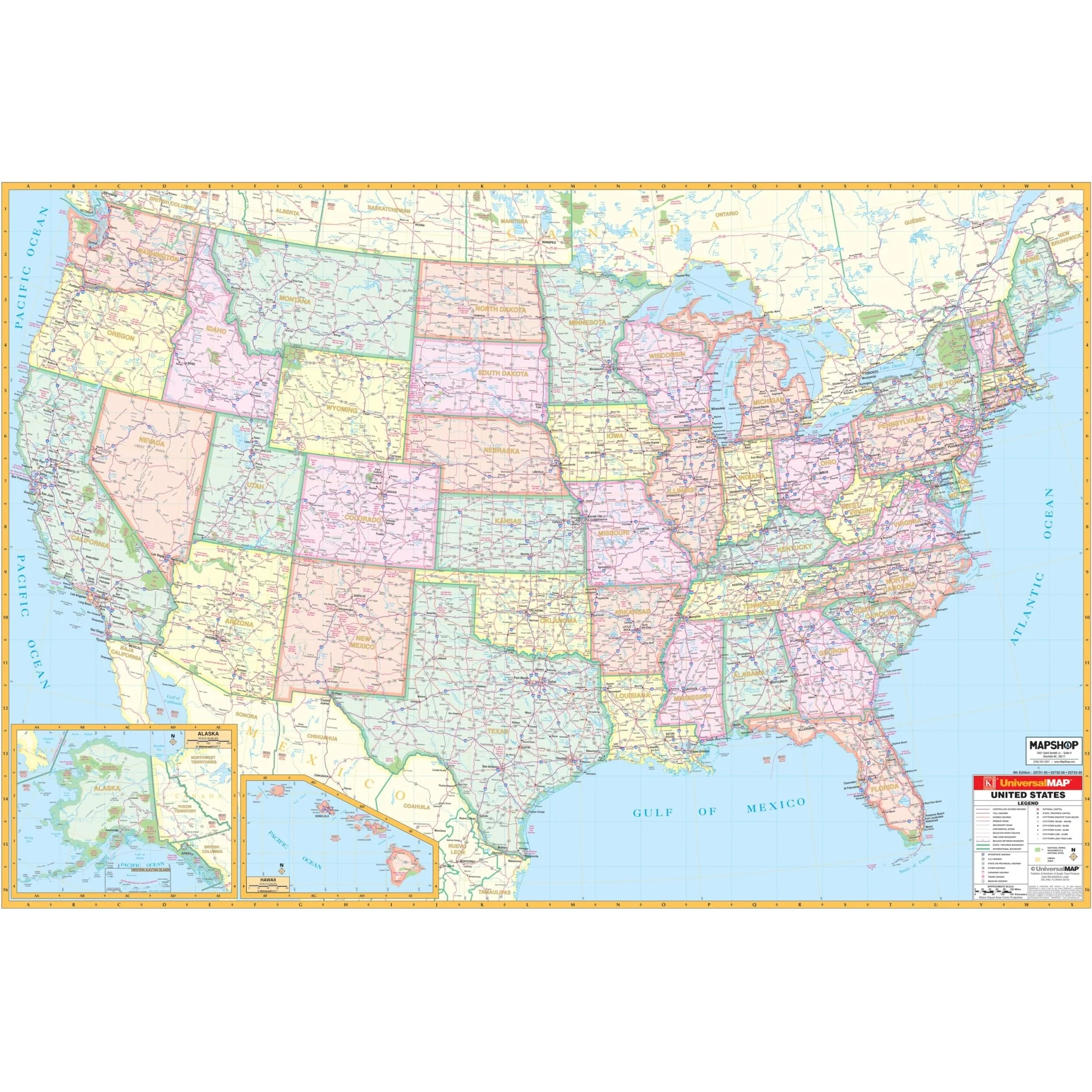
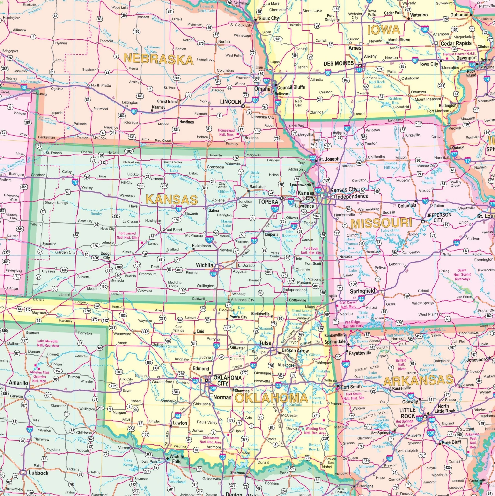
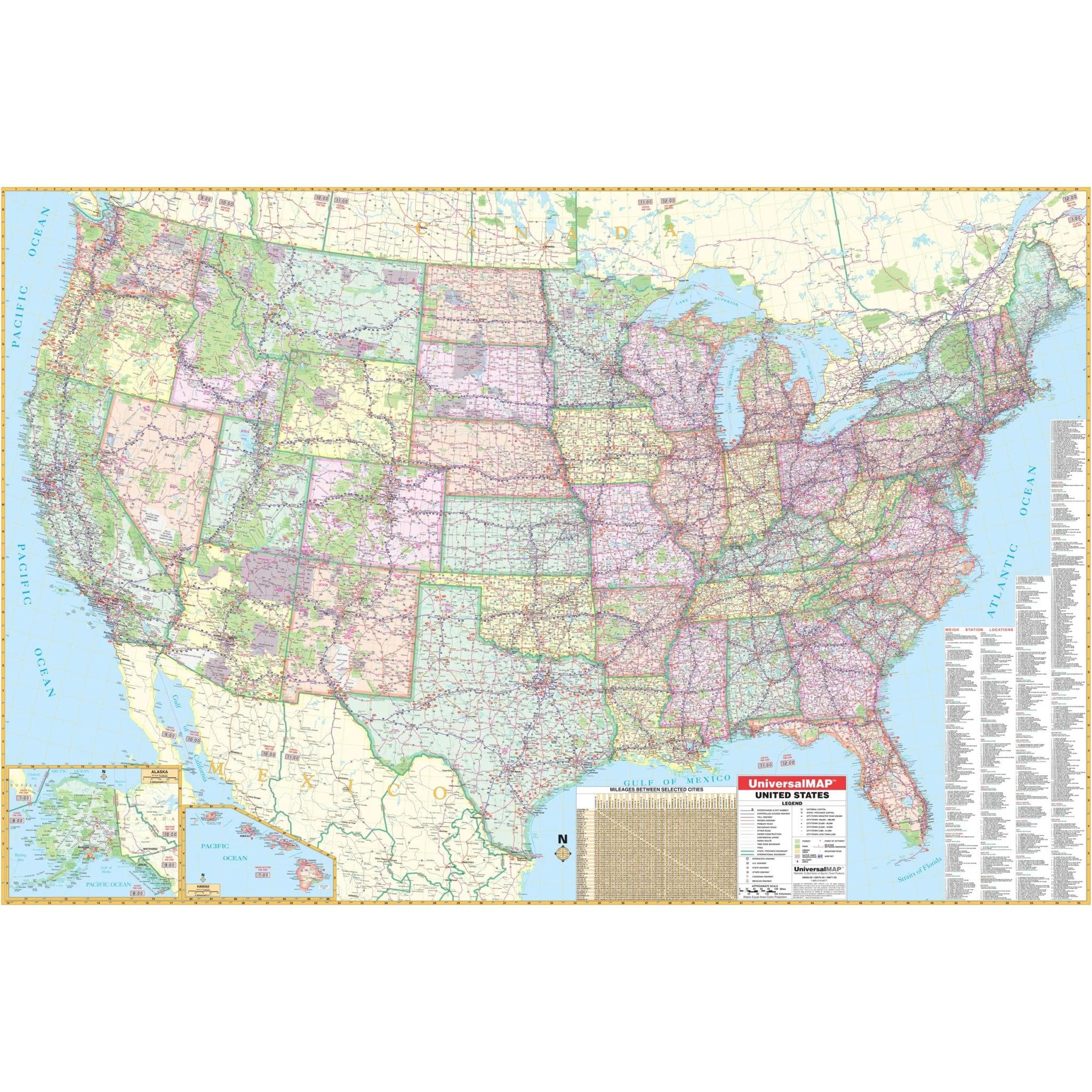
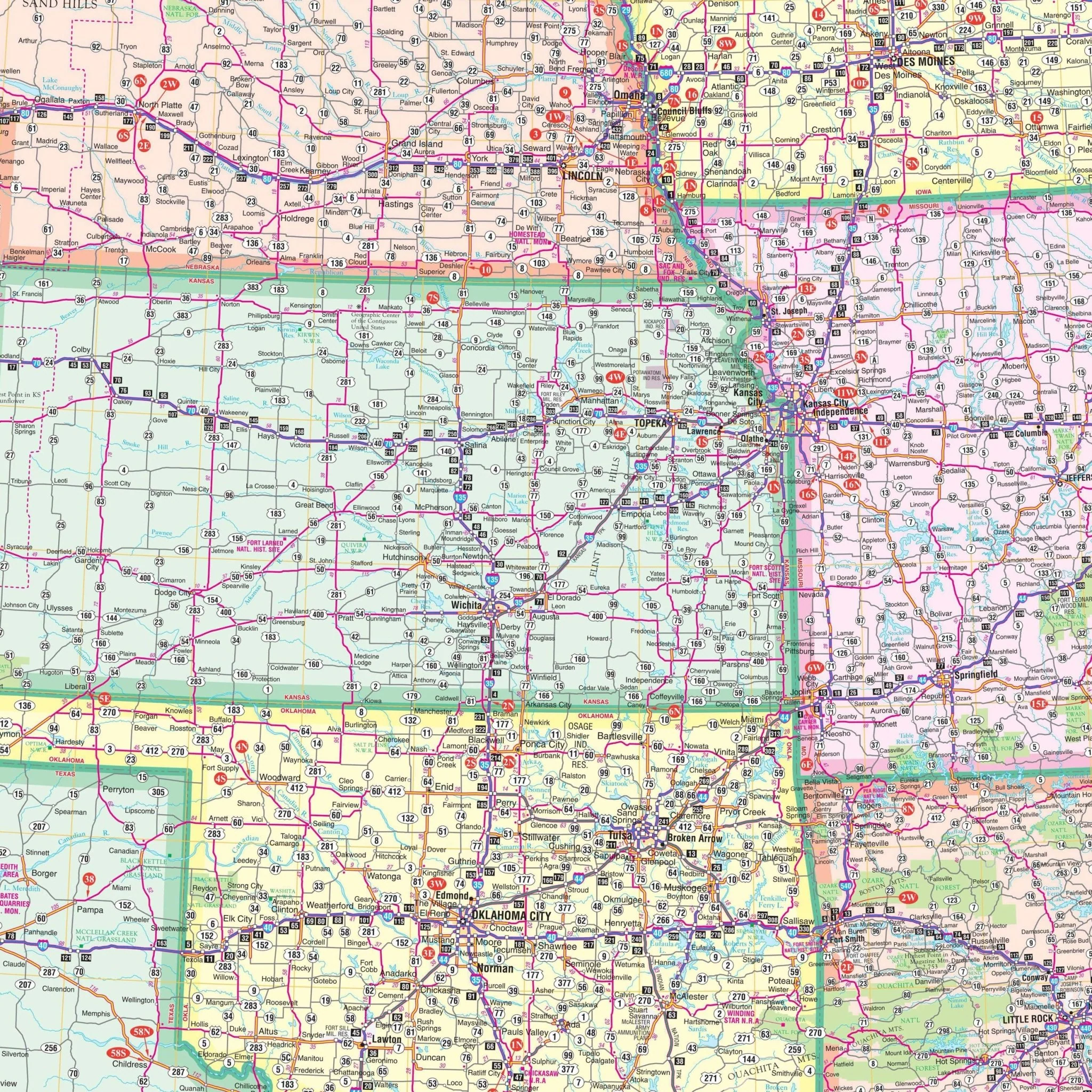
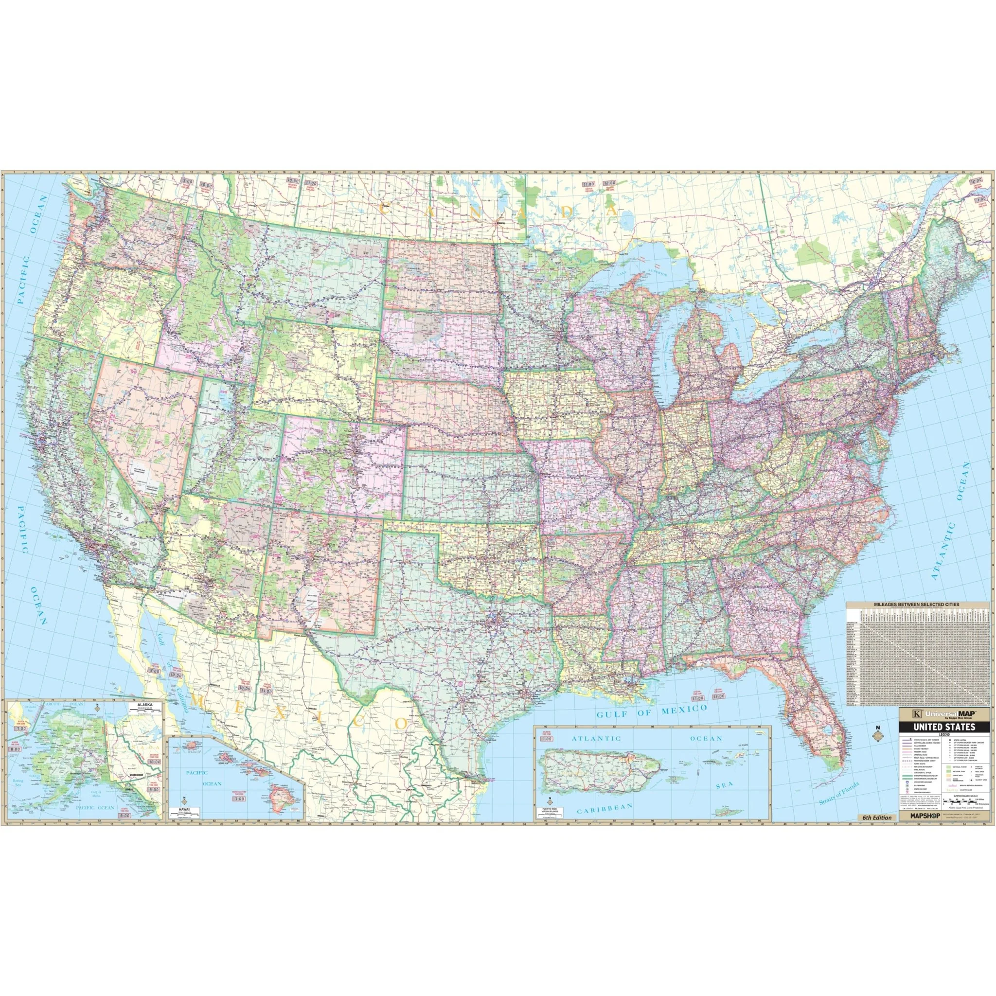
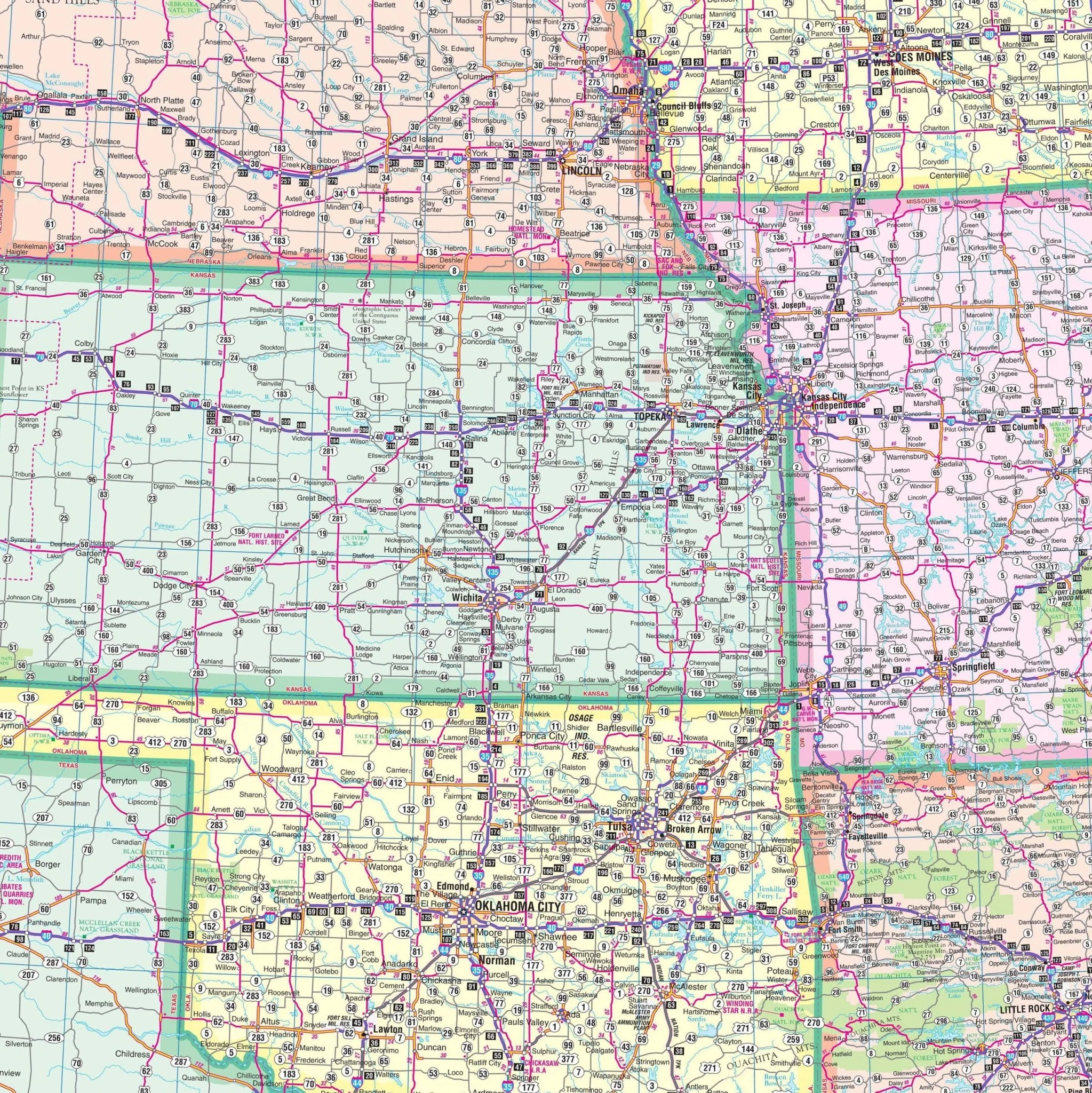
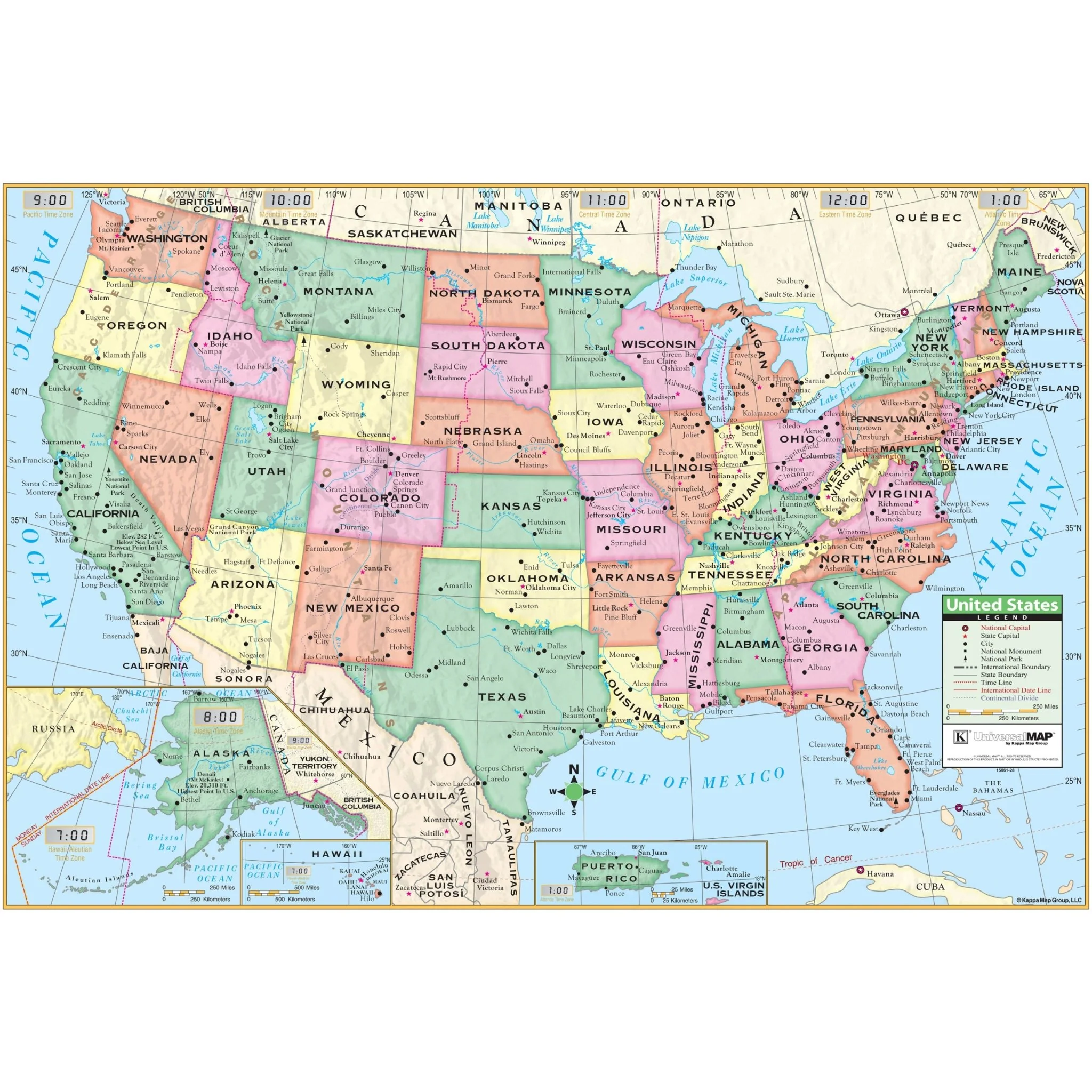
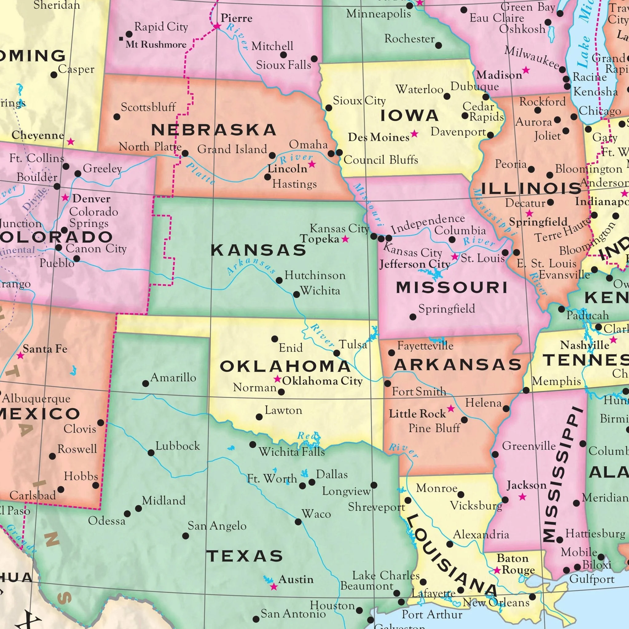
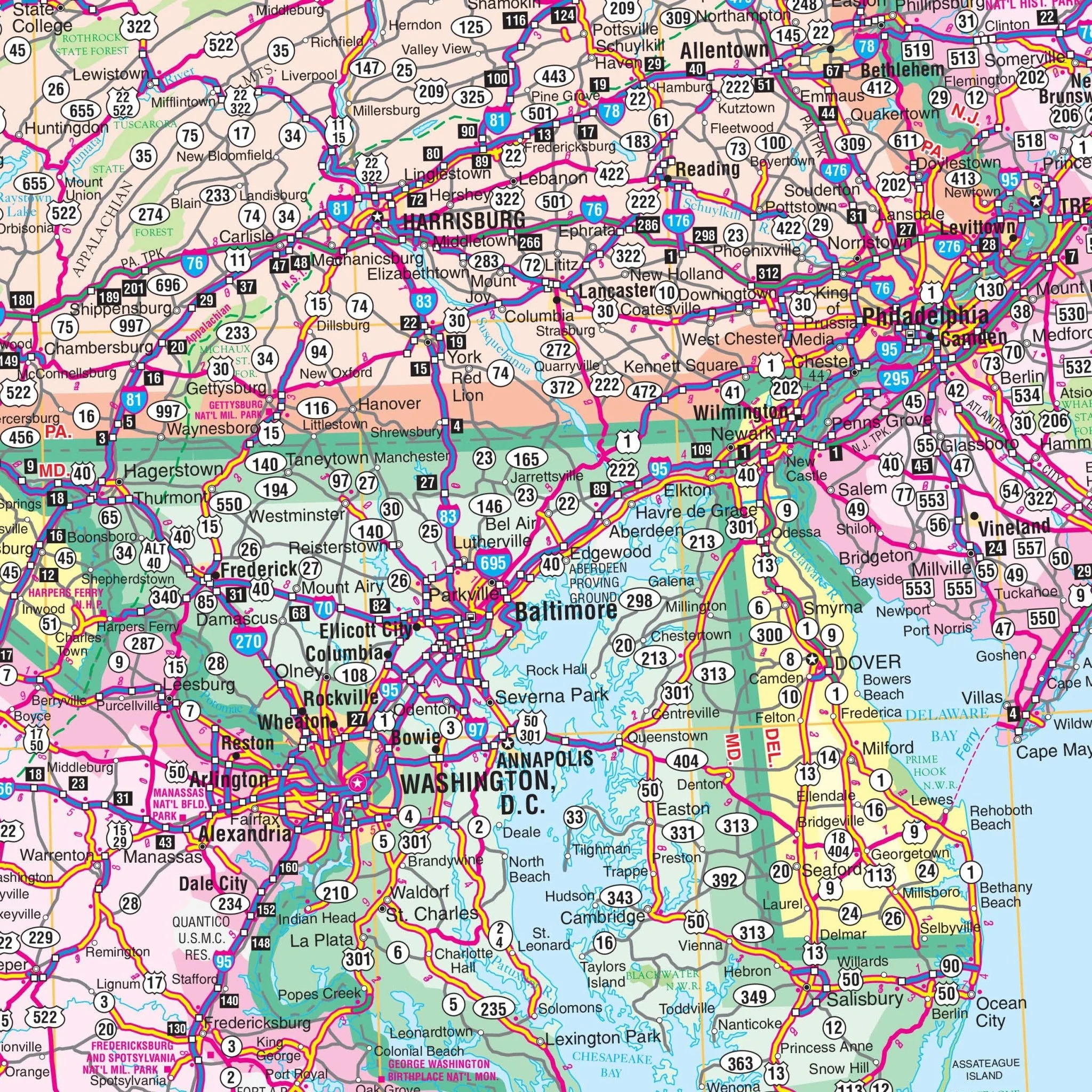
The Northeast United States Regional Wall Map by Kappa Map Group is a comprehensive representation of the northeastern region, highlighting the extensive road networks from the northern fringes of Maine to the national capital in Washington D.C. It features a vast index of cities and towns along the map's border, facilitating easy location finding within a detailed grid system. The map also encompasses the Great Lakes, major rivers, and other significant natural landmarks, providing geographic context to the dense network of urban areas. Insets of major cities offer a closer examination of urban road systems. This map is a useful tool for anyone needing detailed geographic information about the Northeast region, from educators and travelers to businesses and government agencies.
- Connecticut
- Delaware
- Indiana
- Kentucky
- Maine
- Maryland
- Massachusetts
- Michigan
- New Hampshire
- New Jersey
- New York
- Ohio
- Pennsylvania
- Rhode Island
- Vermont
- Virginia
- West Virginia
Boundaries are as follows:
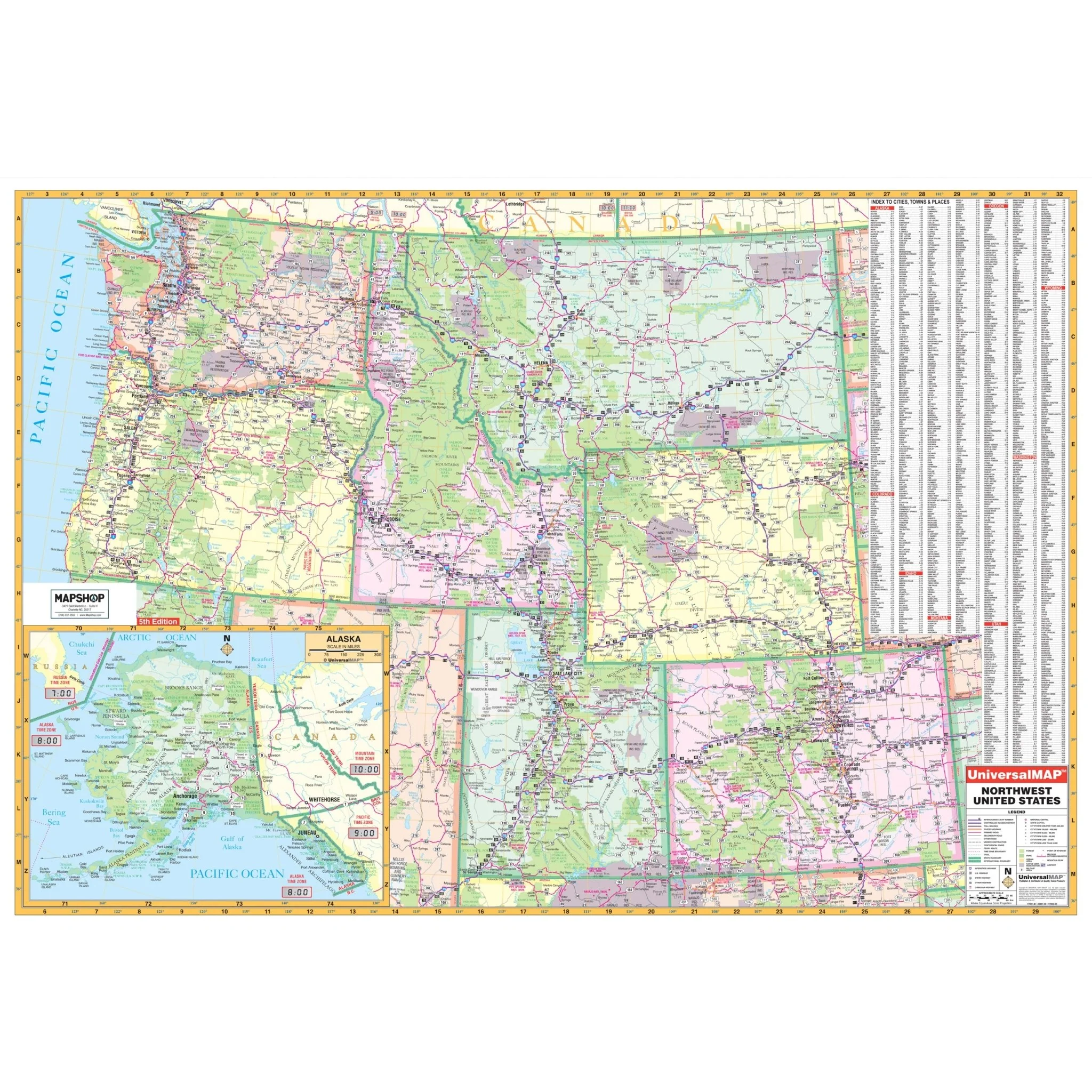
- North: to include Thunder Bay in western Ontario
- South: to include northern Tennessee to the Atlantic Ocean, including Nashville
- East: to the Atlantic Ocean
- West: to include Thunder Bay, Madison WI to Paducah, Kentucky
Size: 64" x 46"
Published: 2009
Original: $139.99
-70%$139.99
$42.00Product Information
Product Information
Shipping & Returns
Shipping & Returns
Description
The Northeast United States Regional Wall Map by Kappa Map Group is a comprehensive representation of the northeastern region, highlighting the extensive road networks from the northern fringes of Maine to the national capital in Washington D.C. It features a vast index of cities and towns along the map's border, facilitating easy location finding within a detailed grid system. The map also encompasses the Great Lakes, major rivers, and other significant natural landmarks, providing geographic context to the dense network of urban areas. Insets of major cities offer a closer examination of urban road systems. This map is a useful tool for anyone needing detailed geographic information about the Northeast region, from educators and travelers to businesses and government agencies.
- Connecticut
- Delaware
- Indiana
- Kentucky
- Maine
- Maryland
- Massachusetts
- Michigan
- New Hampshire
- New Jersey
- New York
- Ohio
- Pennsylvania
- Rhode Island
- Vermont
- Virginia
- West Virginia
Boundaries are as follows:
- North: to include Thunder Bay in western Ontario
- South: to include northern Tennessee to the Atlantic Ocean, including Nashville
- East: to the Atlantic Ocean
- West: to include Thunder Bay, Madison WI to Paducah, Kentucky
Size: 64" x 46"
Published: 2009