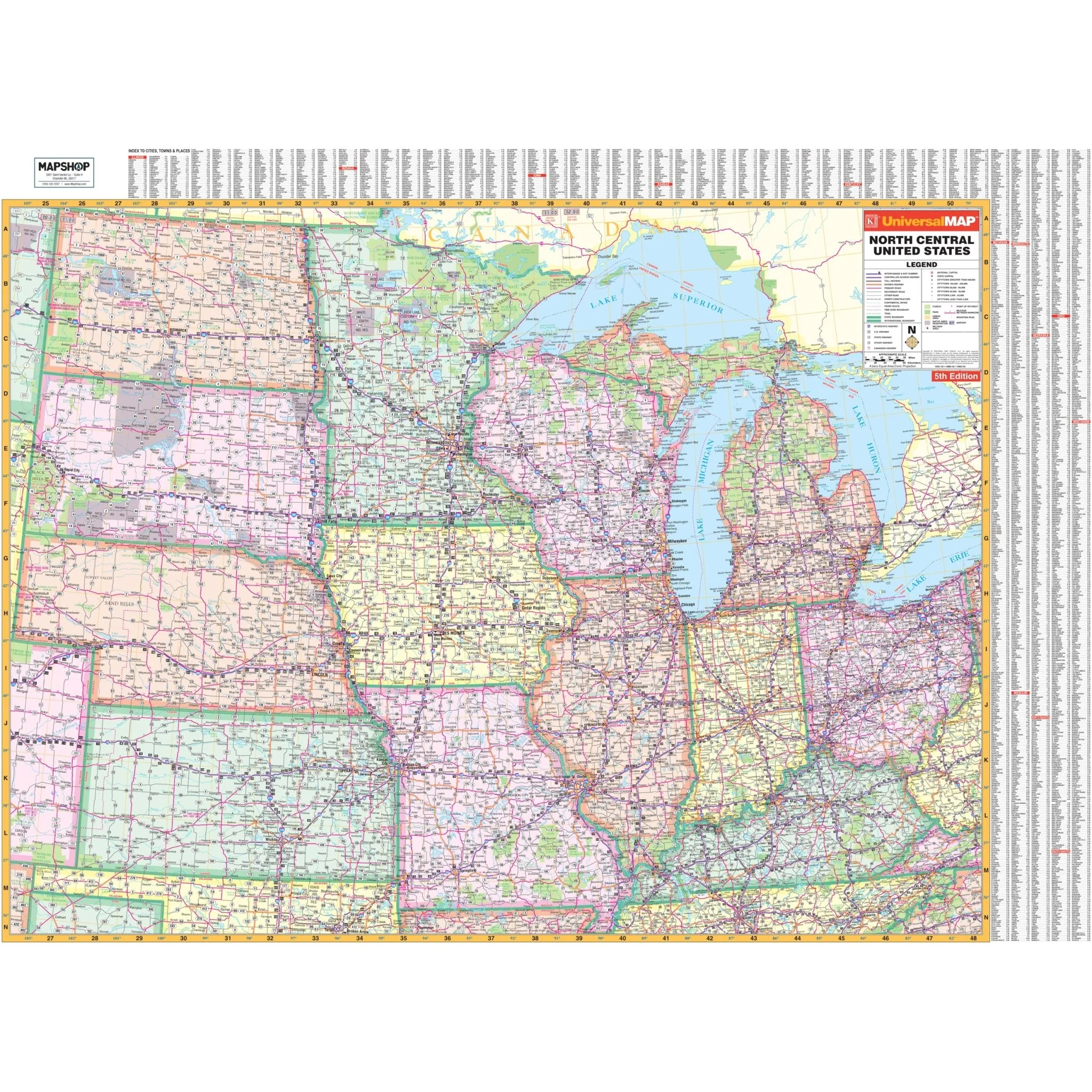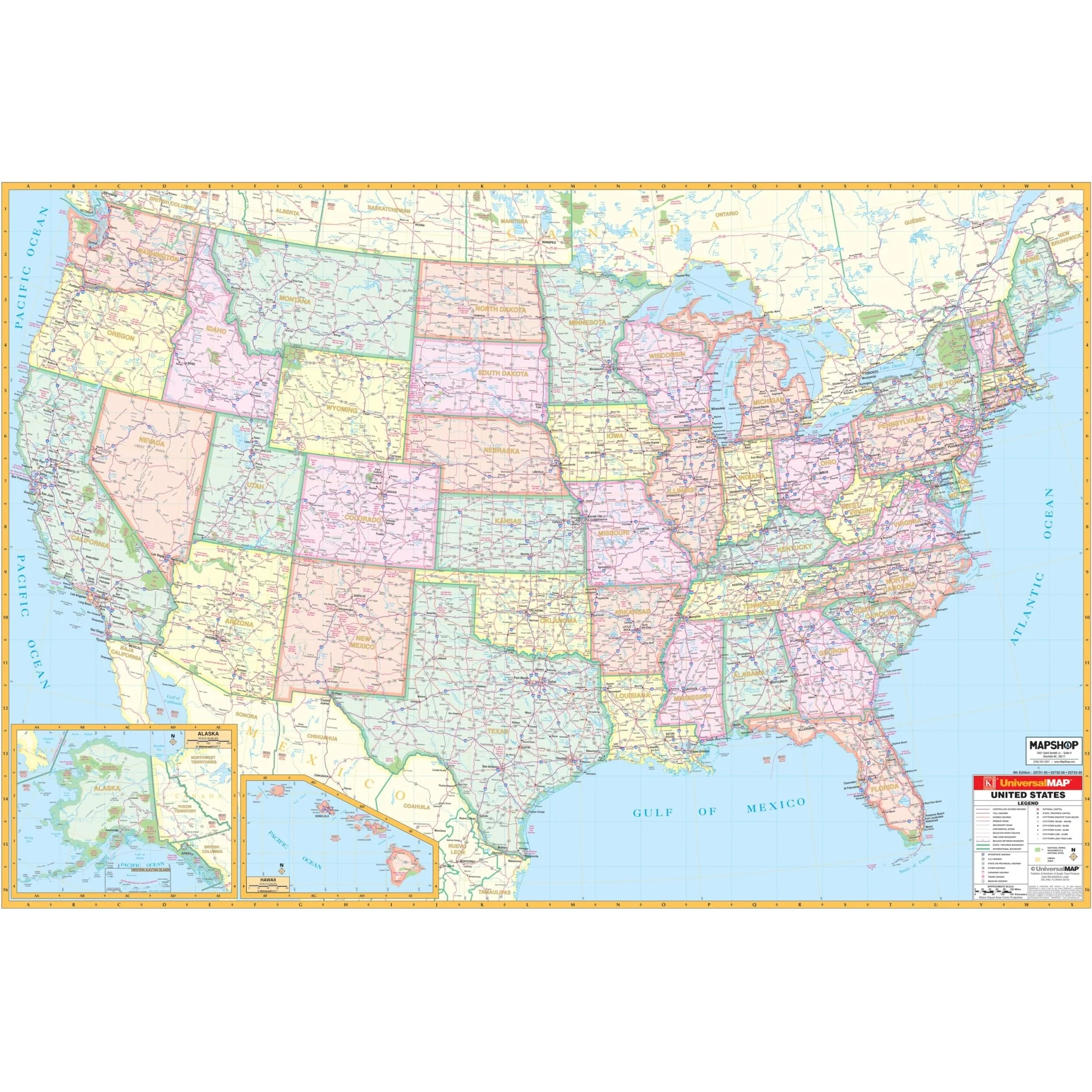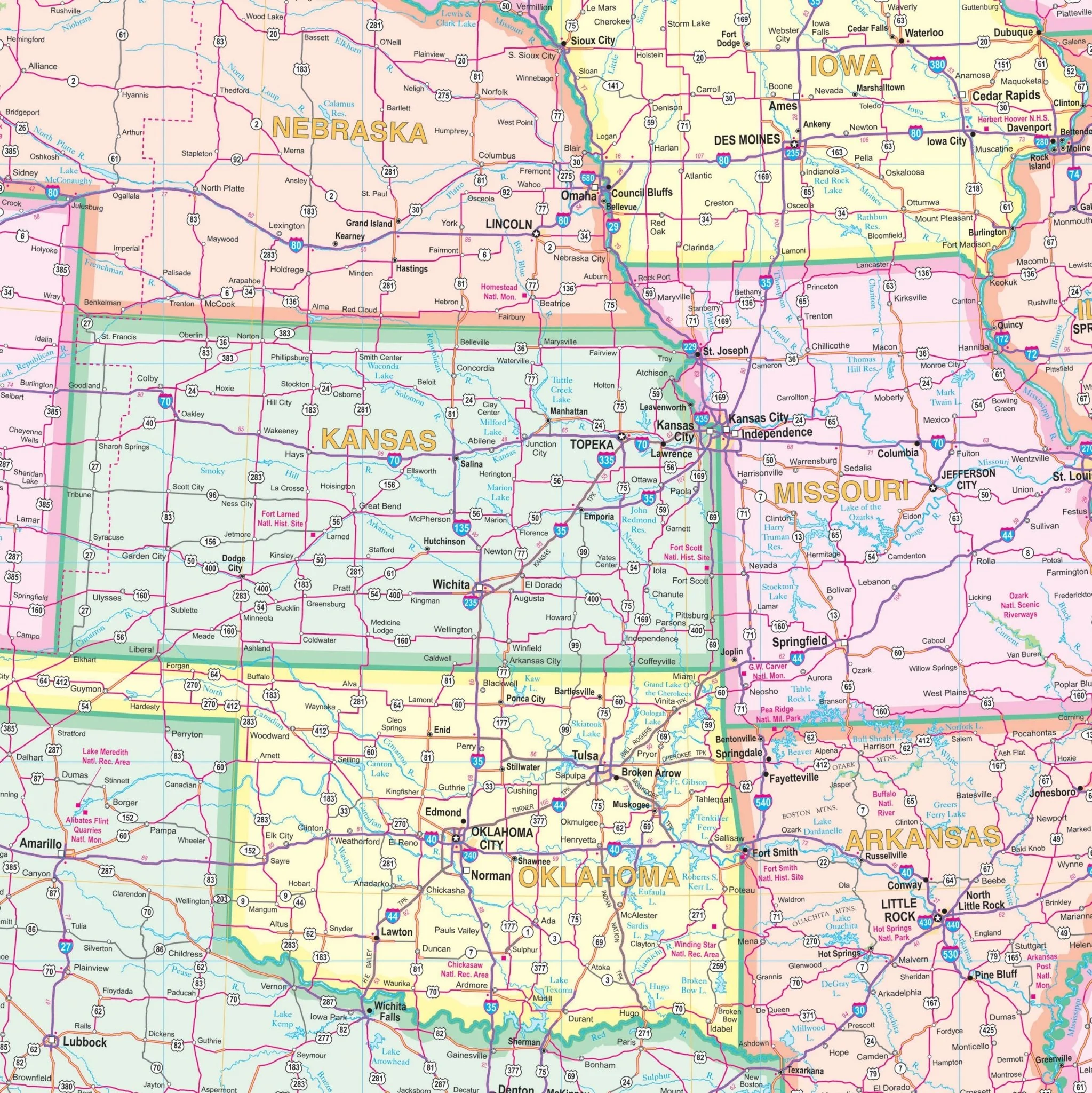


South Central United States Regional Wall Map
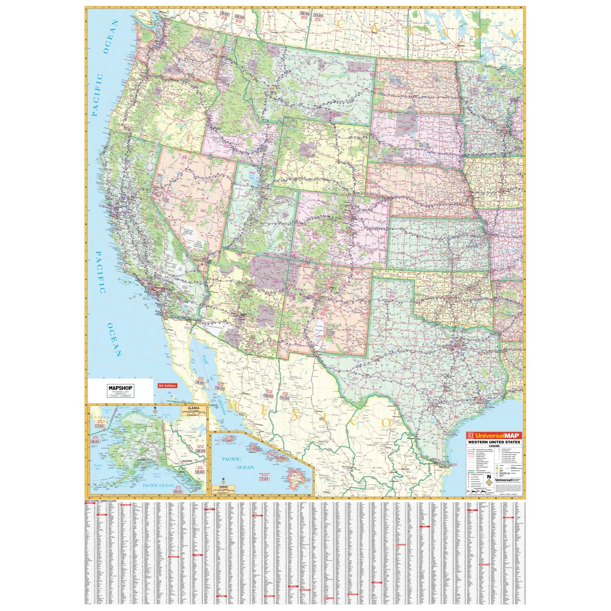
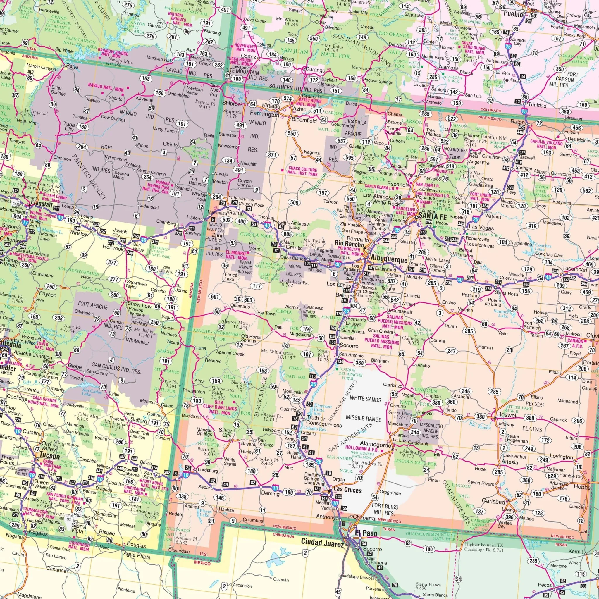
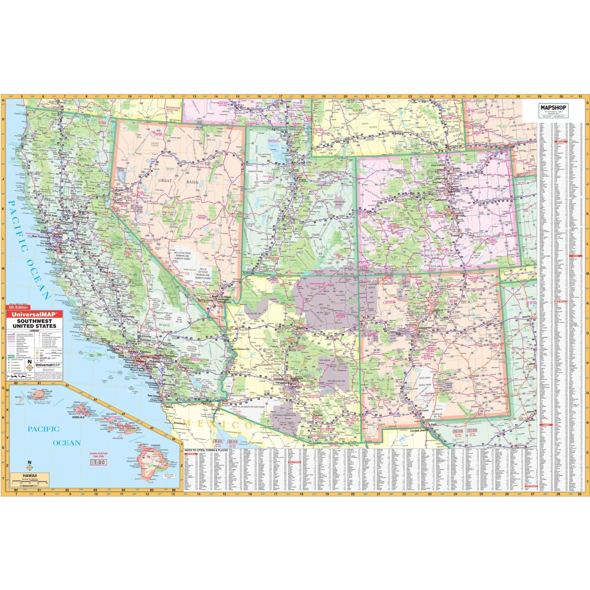
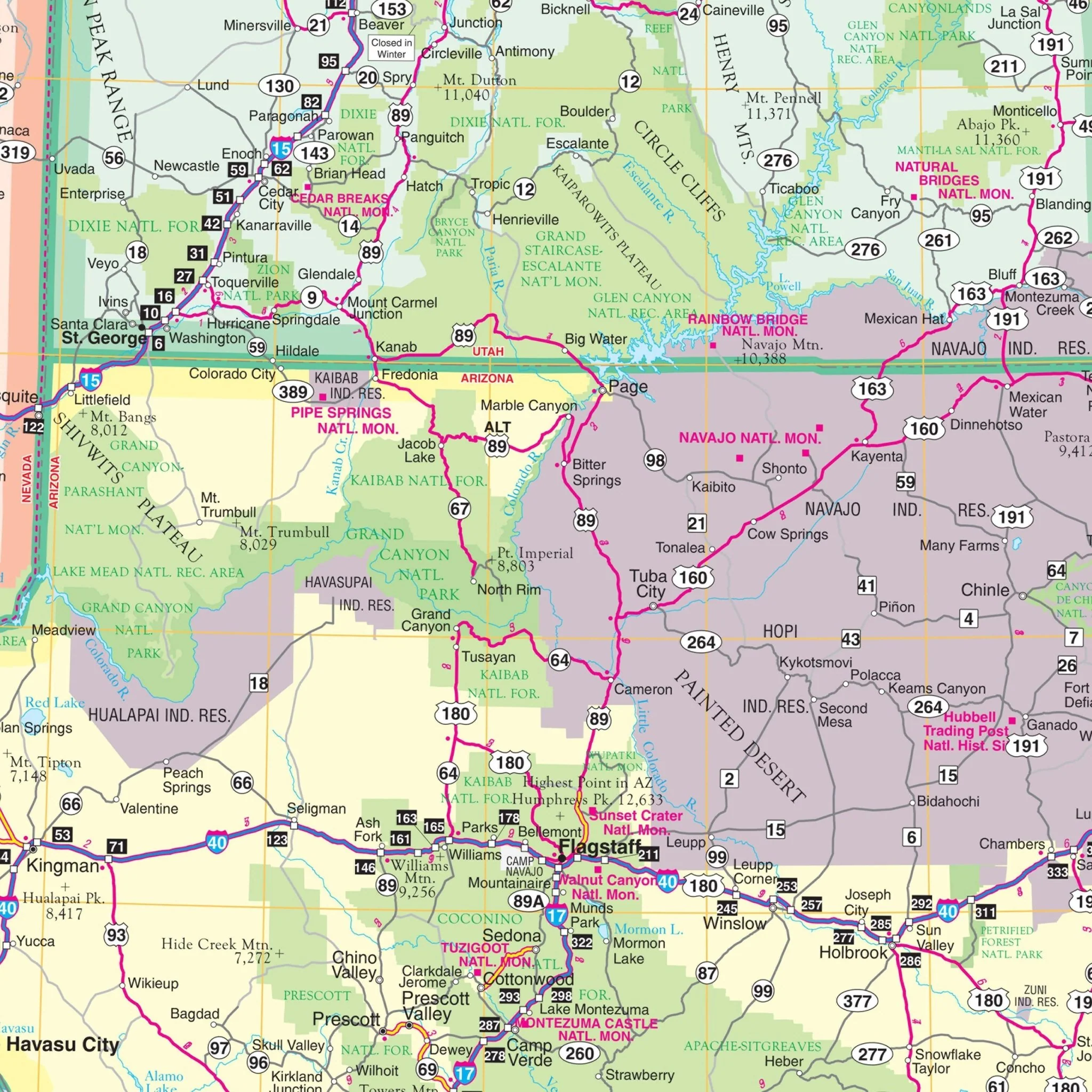
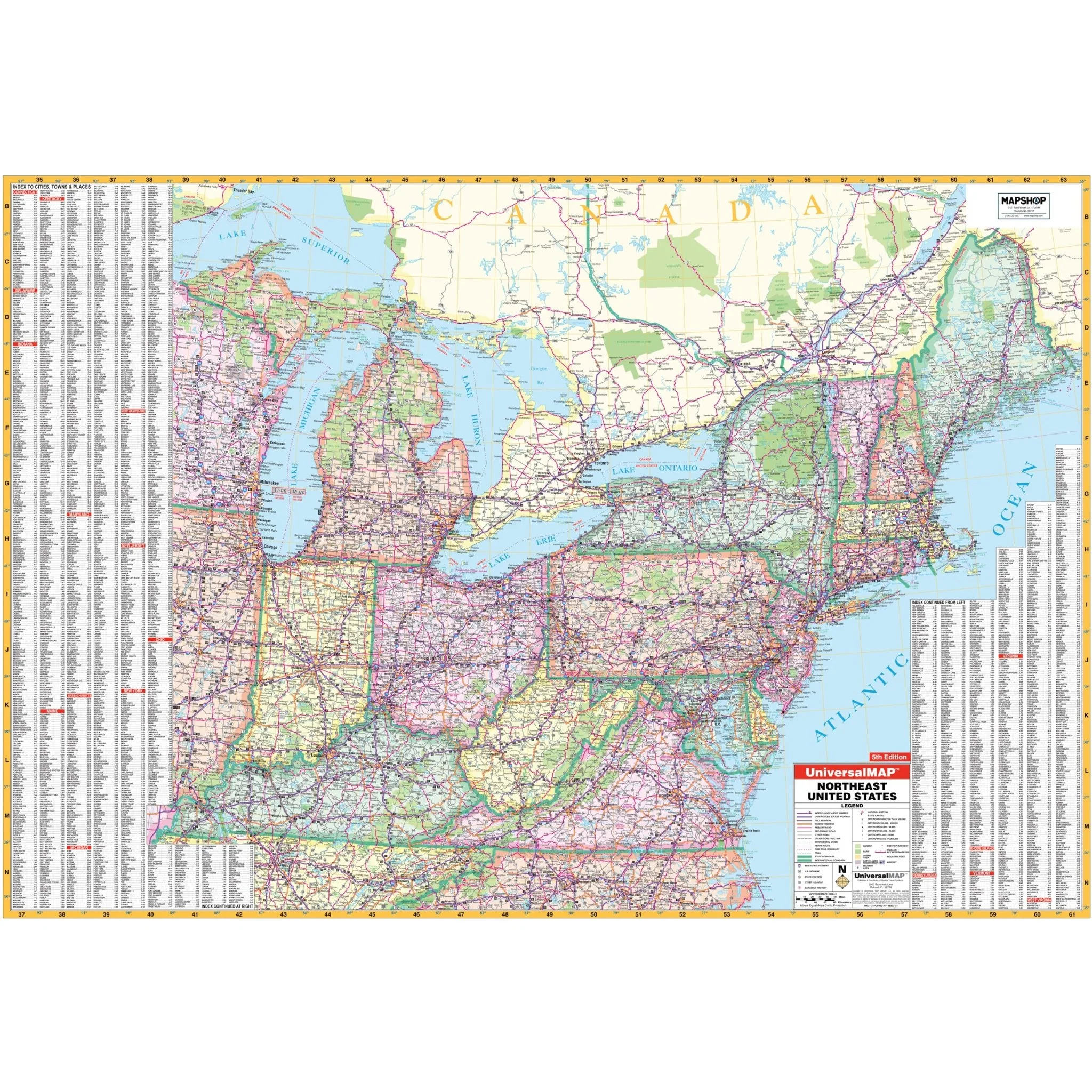
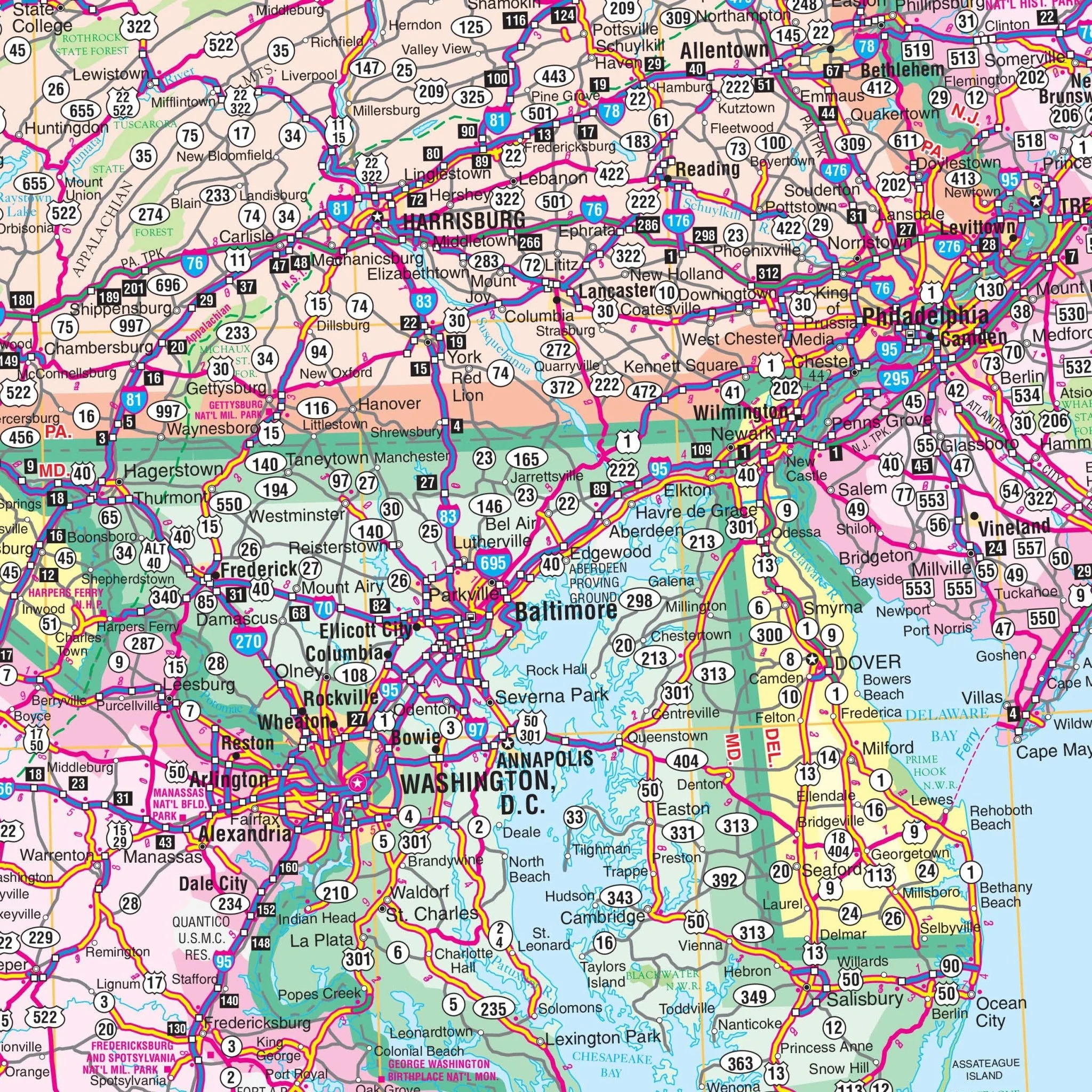
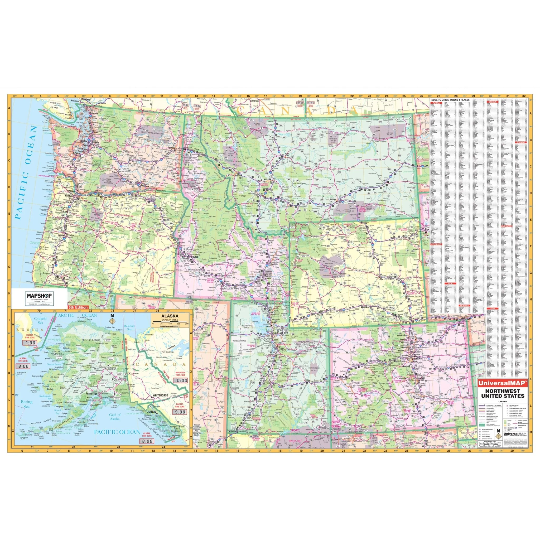
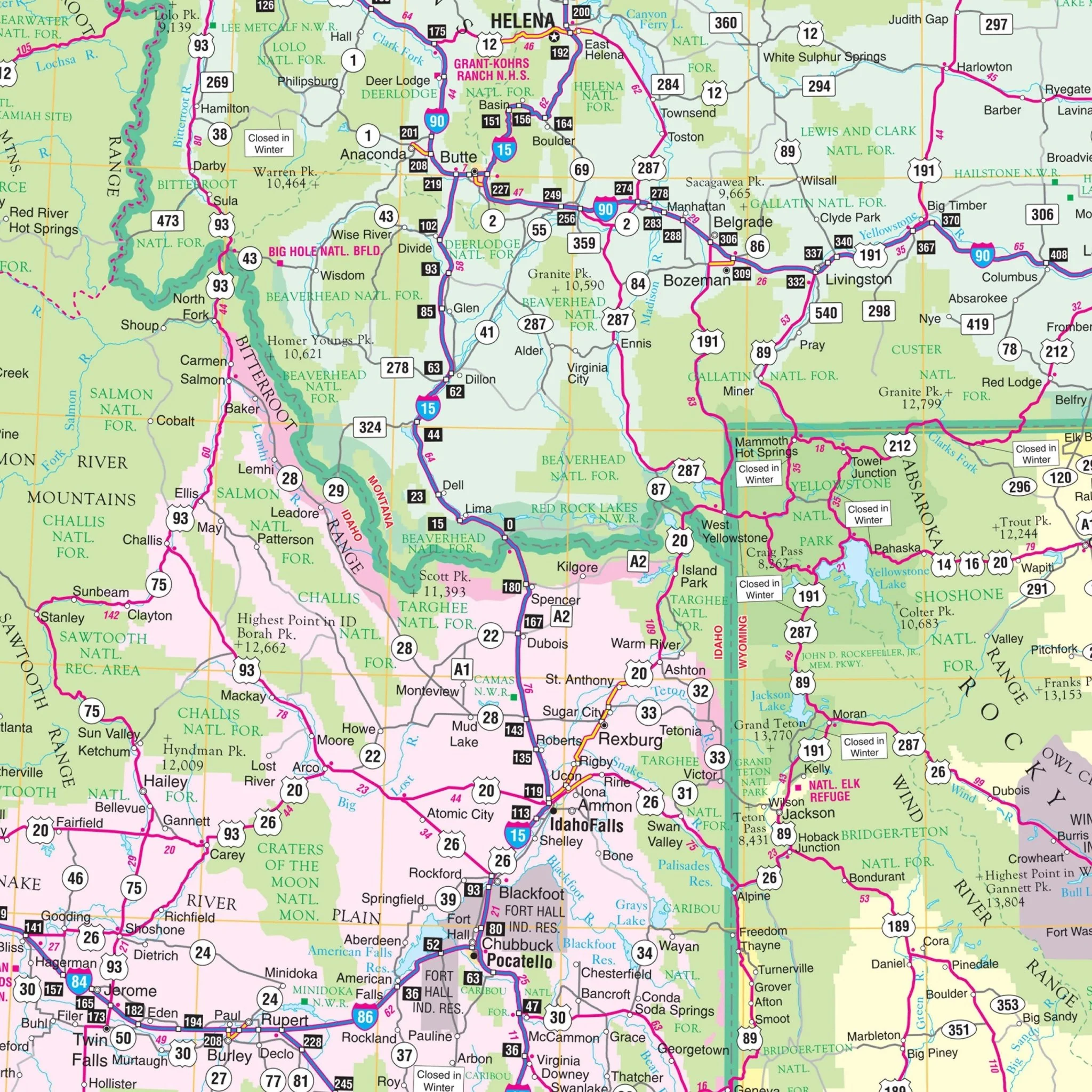
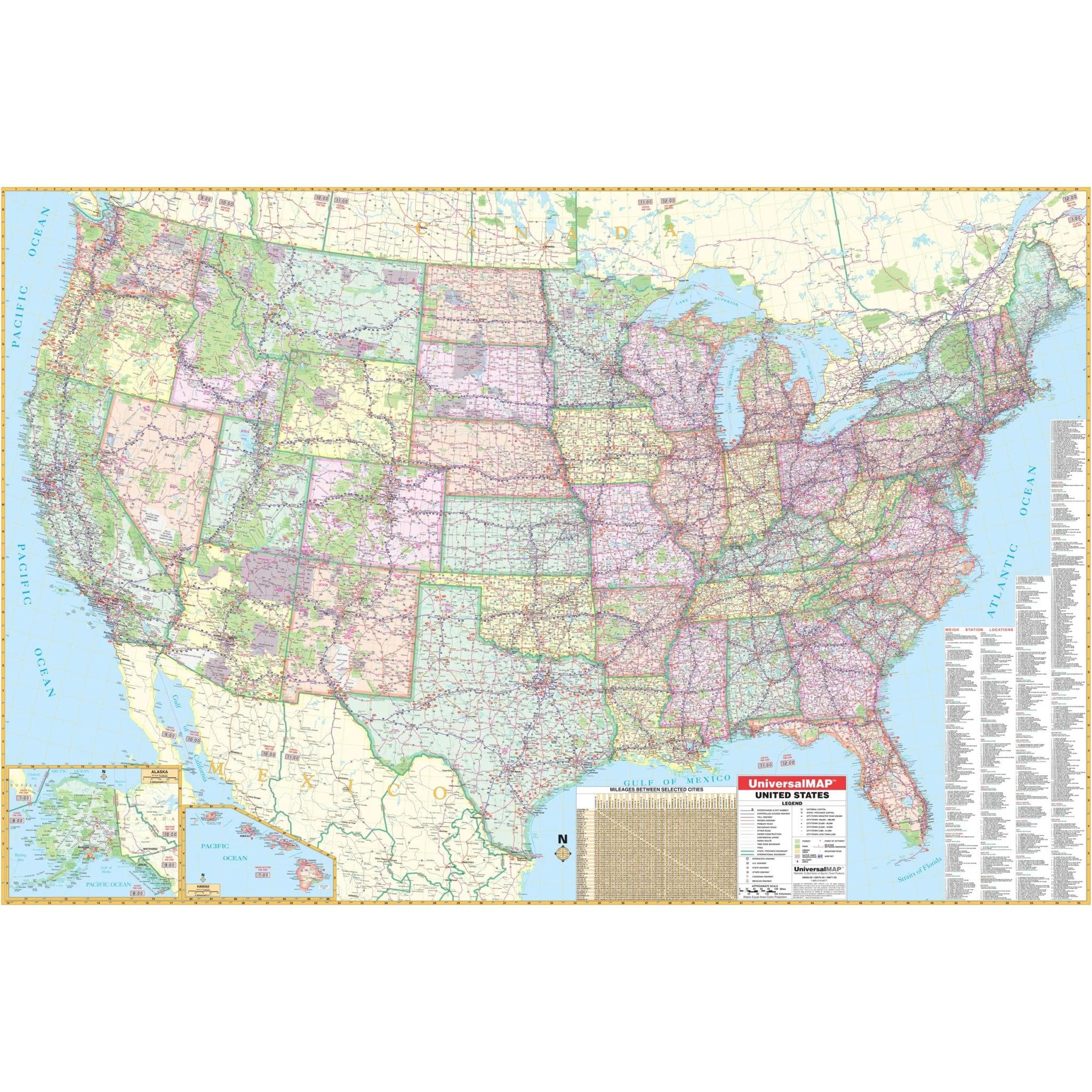
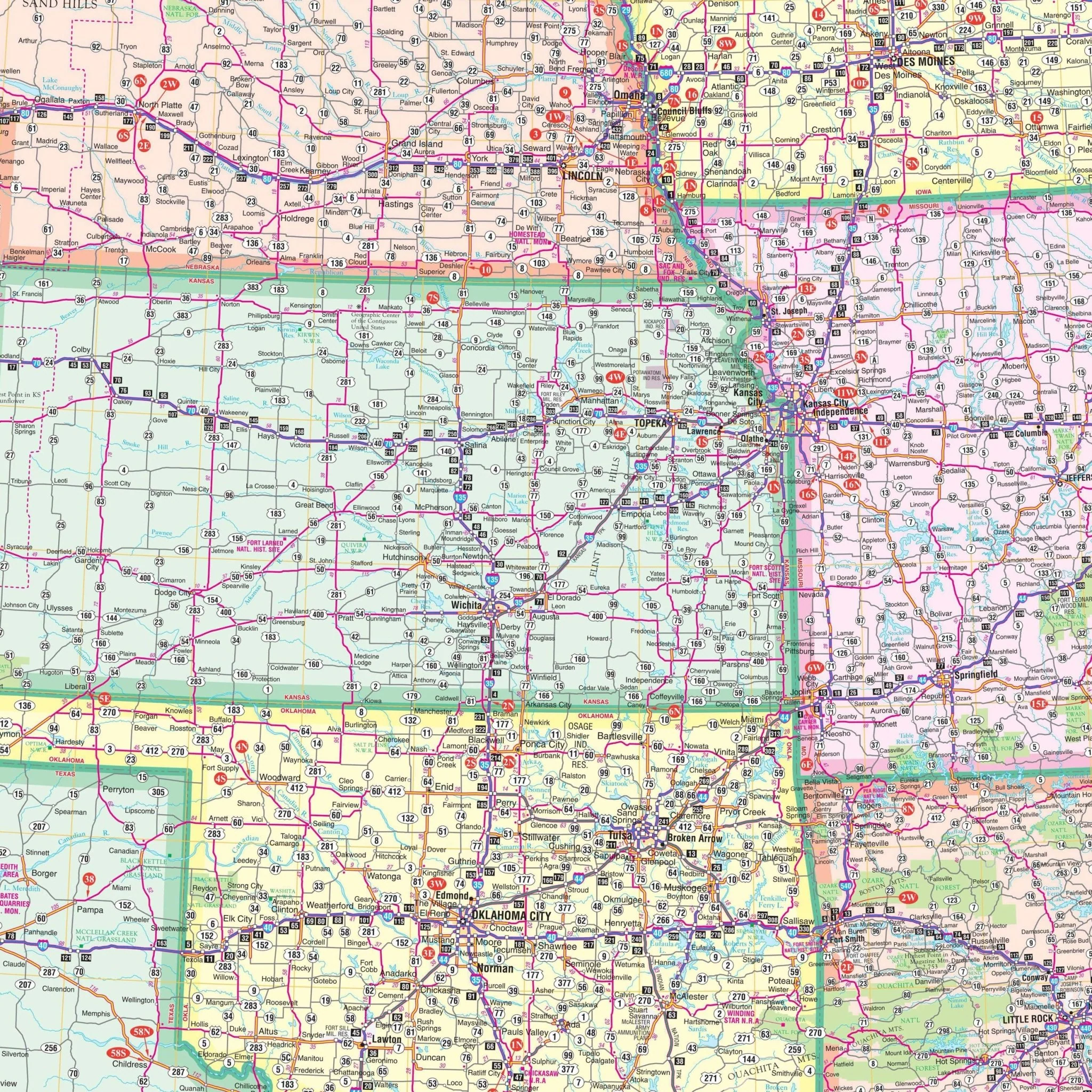
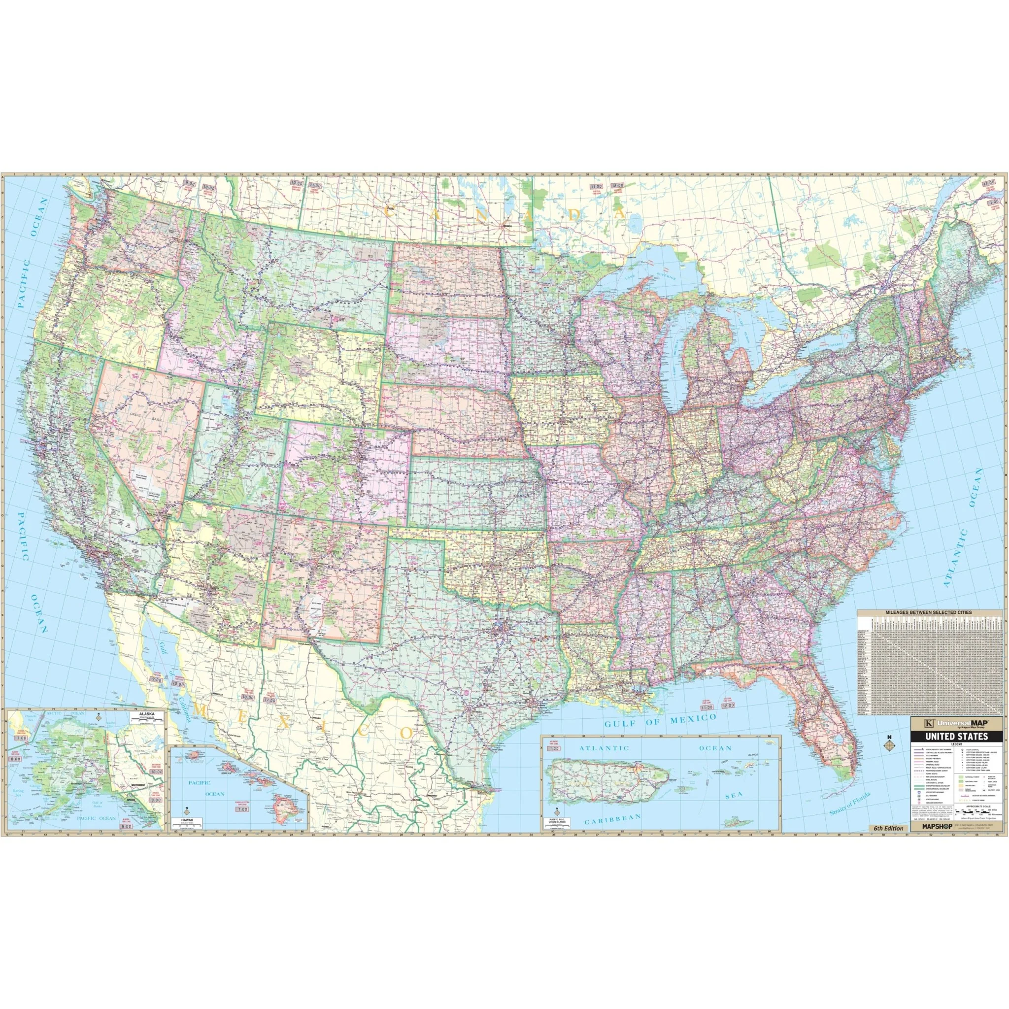
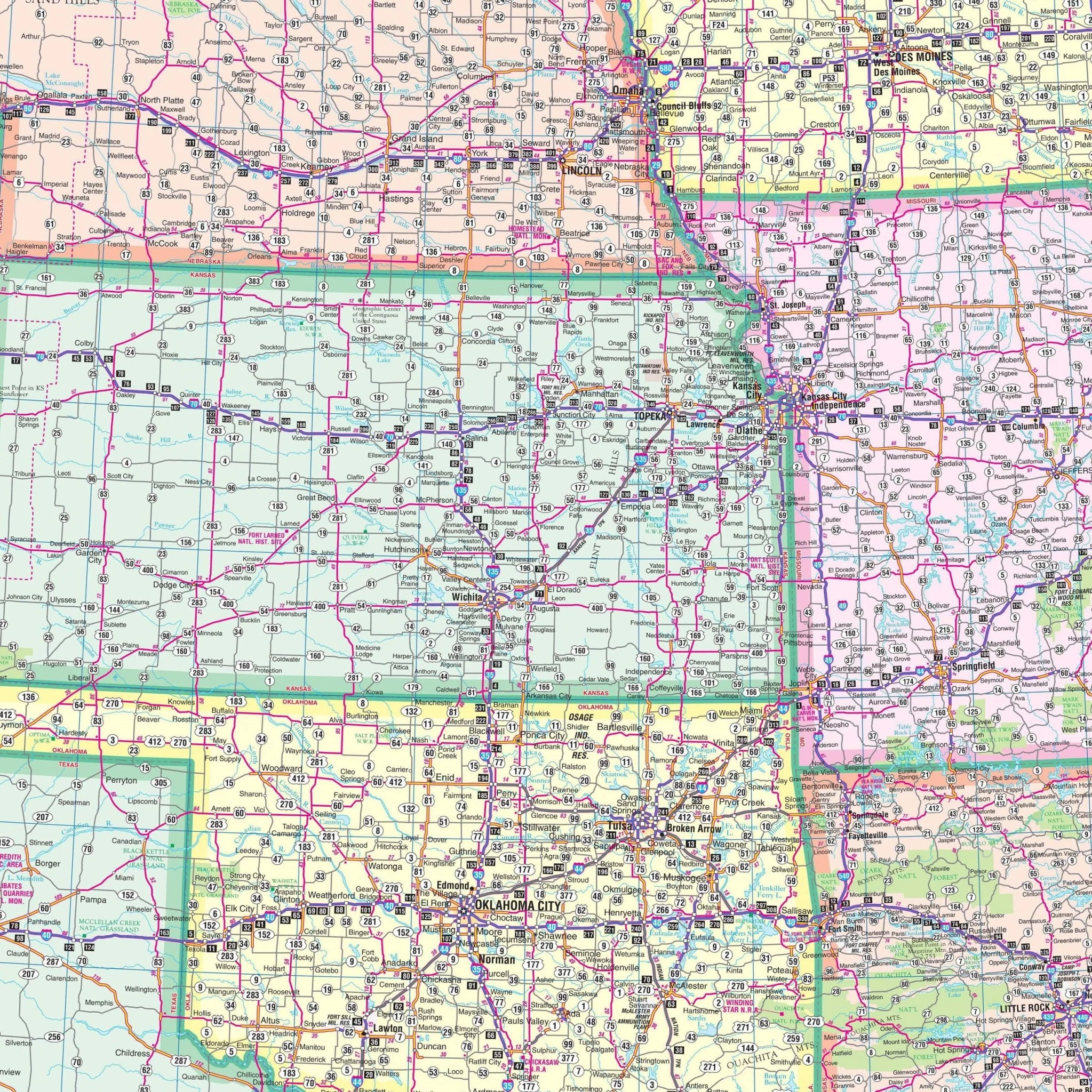
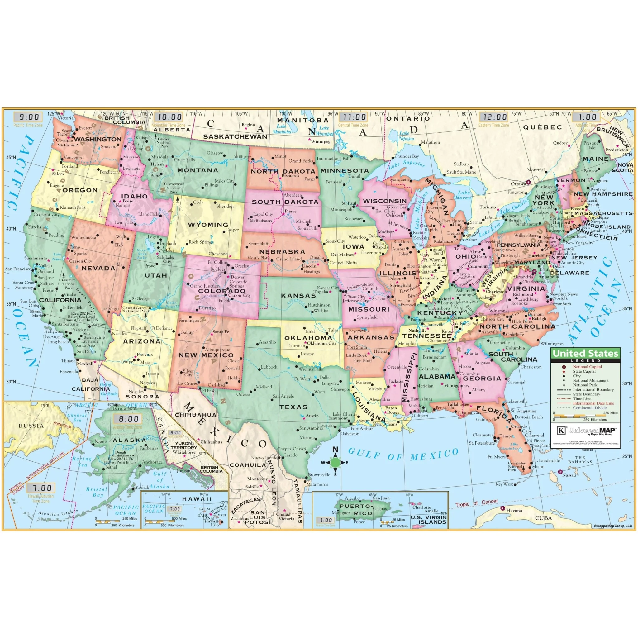
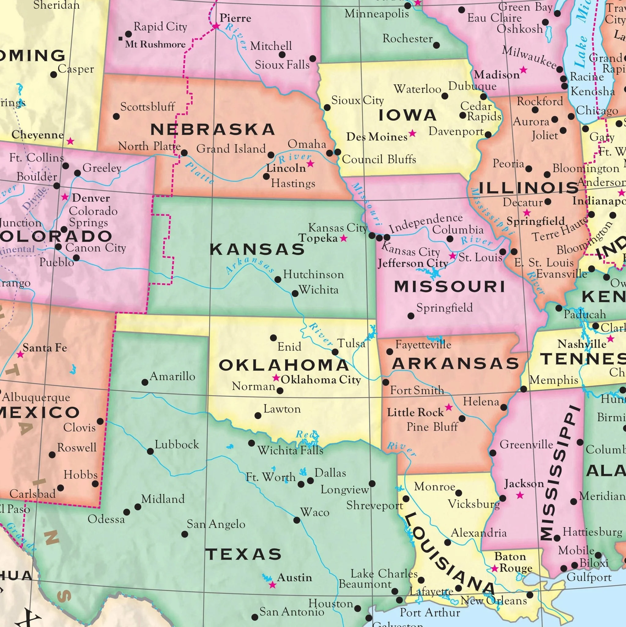
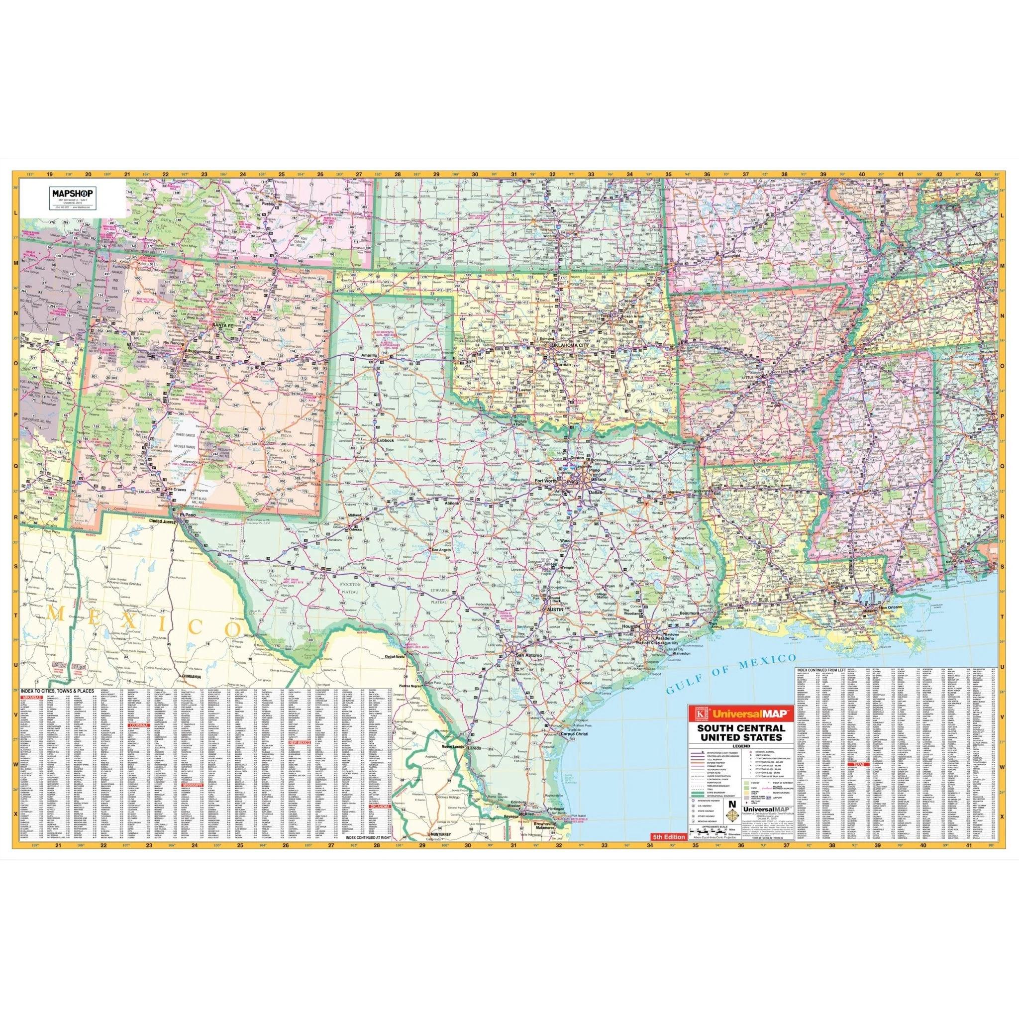
The South Central United States Regional Wall Map by Kappa Map Group offers an expansive view of the south-central region, including Texas, Oklahoma, Arkansas, and Louisiana. It displays a comprehensive network of highways, roads, and important landmarks, as well as state and international borders. The map features insets of major metropolitan areas for a more detailed urban road layout, and an extensive index of cities and towns is provided along the bottom, enabling easy navigation across the region. The Gulf of Mexico coastline is clearly depicted, highlighting ports and coastal cities. This map is a functional guide for those traveling through or conducting business in the south-central United States, as well as for educators and others who need a detailed regional reference.
- Arkansas
- Louisiana
- Mississippi
- New Mexico
- Oklahoma
- Texas
Partial coverage of the following states is included:
- Illinois
- Indiana
- Tennessee
- Alabama
- Arizona
- Colorado
- Kansas
- Missouri
Boundaries are as follows:
- North: Southern Colorado, including Pueblo to Evansville, IN
- South: Northern Mexico to Tonichi in Sonoma State, Mexico and the Gulf of Mexico
- East: Nashville, TN and Birmingham, AL
- West: Eastern portion of Arizona down to the eastern Mexican State of Sonora
Size: 65" x 45"
Published: 2009
Original: $139.99
-70%$139.99
$42.00Product Information
Product Information
Shipping & Returns
Shipping & Returns
Description
The South Central United States Regional Wall Map by Kappa Map Group offers an expansive view of the south-central region, including Texas, Oklahoma, Arkansas, and Louisiana. It displays a comprehensive network of highways, roads, and important landmarks, as well as state and international borders. The map features insets of major metropolitan areas for a more detailed urban road layout, and an extensive index of cities and towns is provided along the bottom, enabling easy navigation across the region. The Gulf of Mexico coastline is clearly depicted, highlighting ports and coastal cities. This map is a functional guide for those traveling through or conducting business in the south-central United States, as well as for educators and others who need a detailed regional reference.
- Arkansas
- Louisiana
- Mississippi
- New Mexico
- Oklahoma
- Texas
Partial coverage of the following states is included:
- Illinois
- Indiana
- Tennessee
- Alabama
- Arizona
- Colorado
- Kansas
- Missouri
Boundaries are as follows:
- North: Southern Colorado, including Pueblo to Evansville, IN
- South: Northern Mexico to Tonichi in Sonoma State, Mexico and the Gulf of Mexico
- East: Nashville, TN and Birmingham, AL
- West: Eastern portion of Arizona down to the eastern Mexican State of Sonora
Size: 65" x 45"
Published: 2009