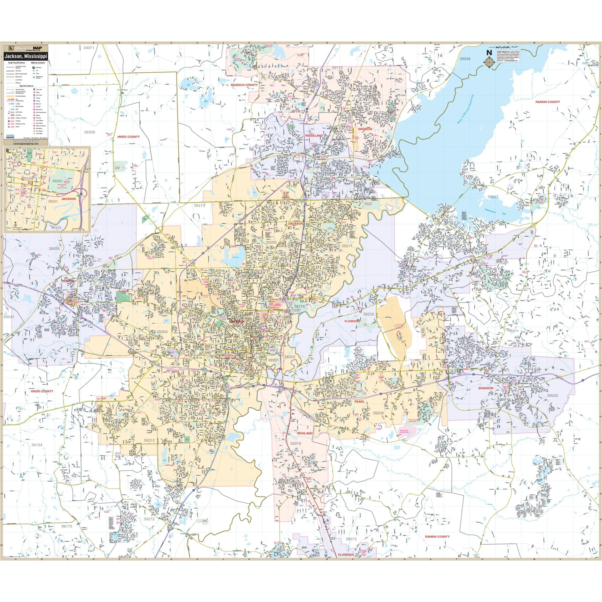


Kalamazoo County, MI Wall Map
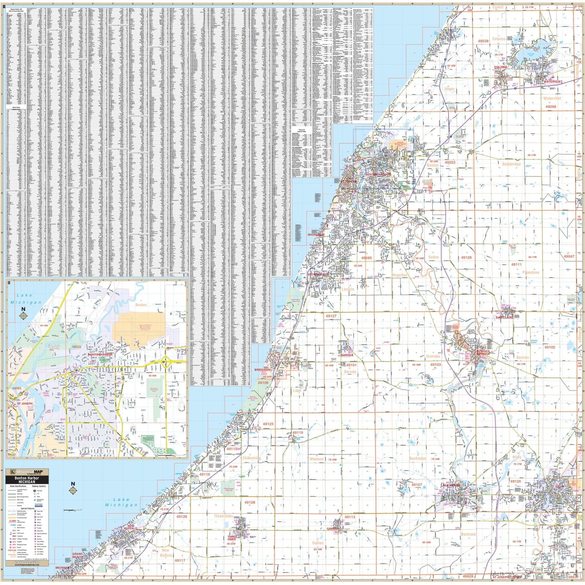
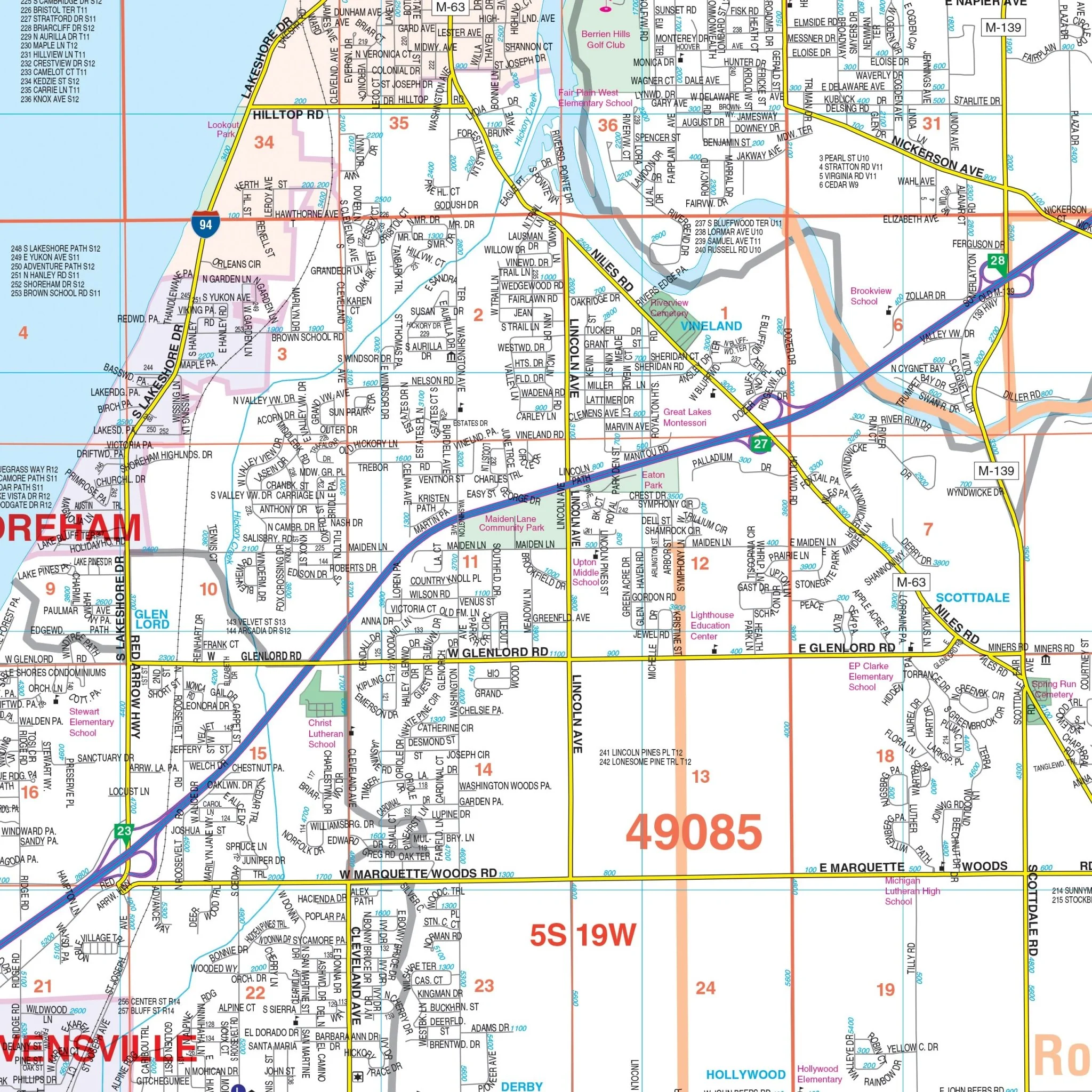
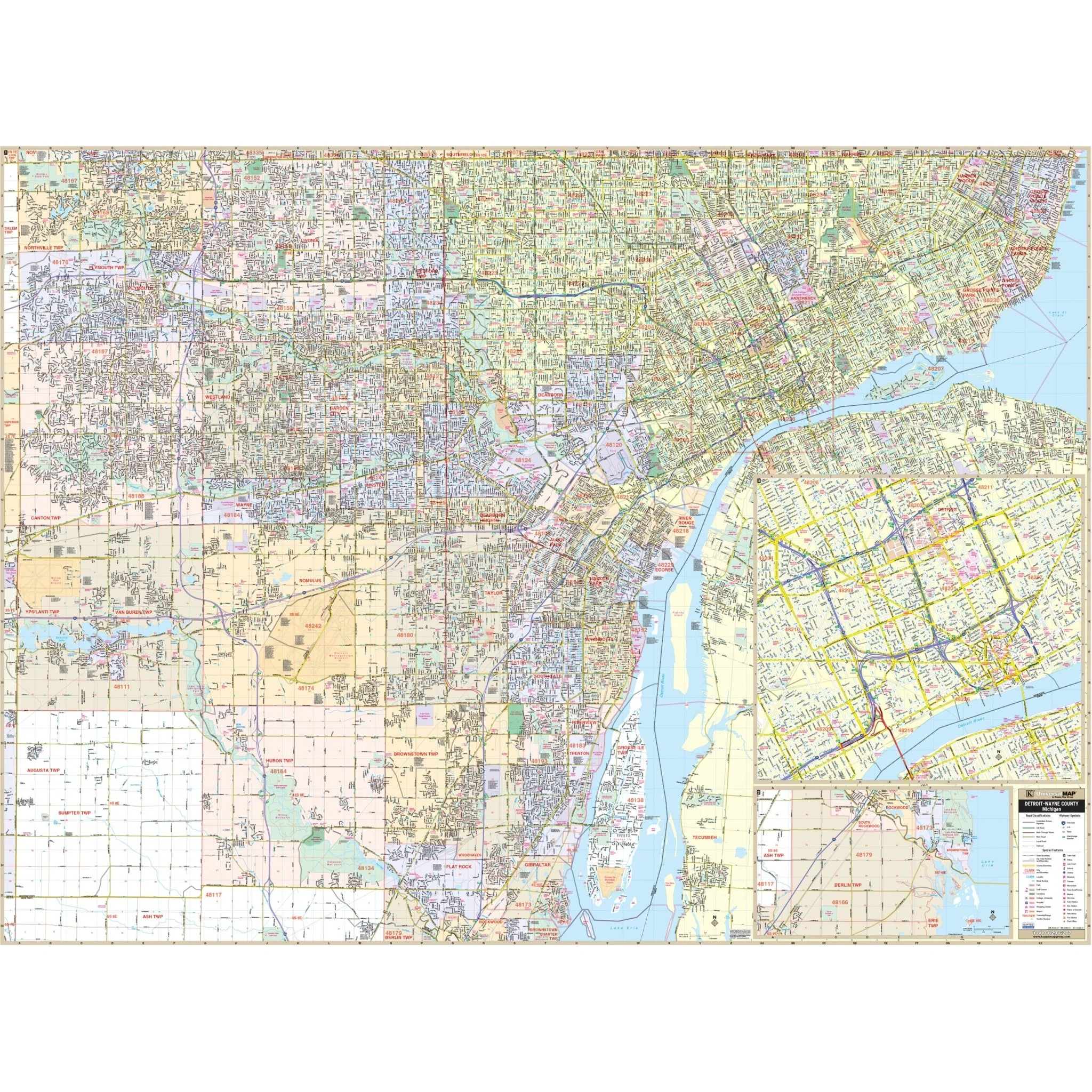
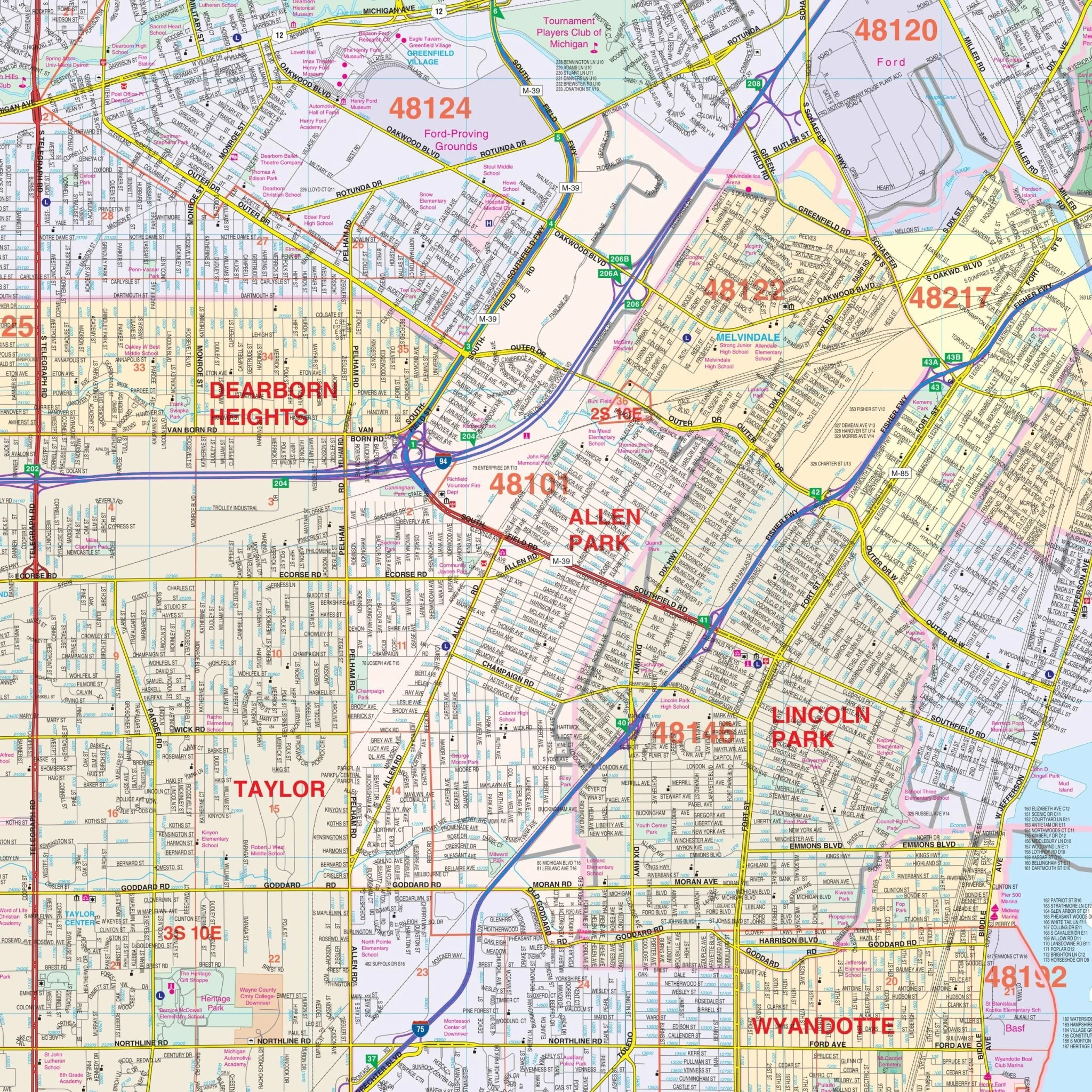
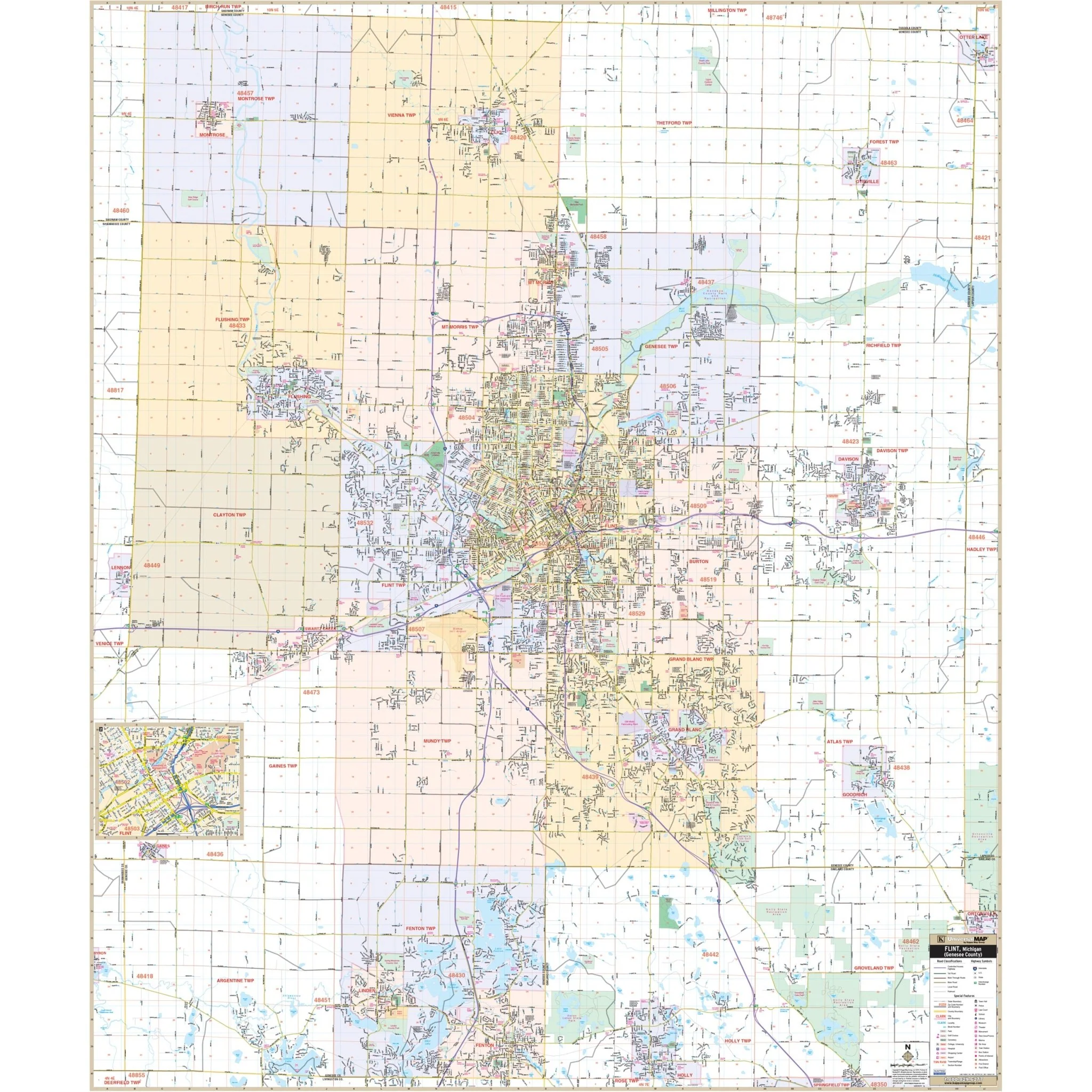
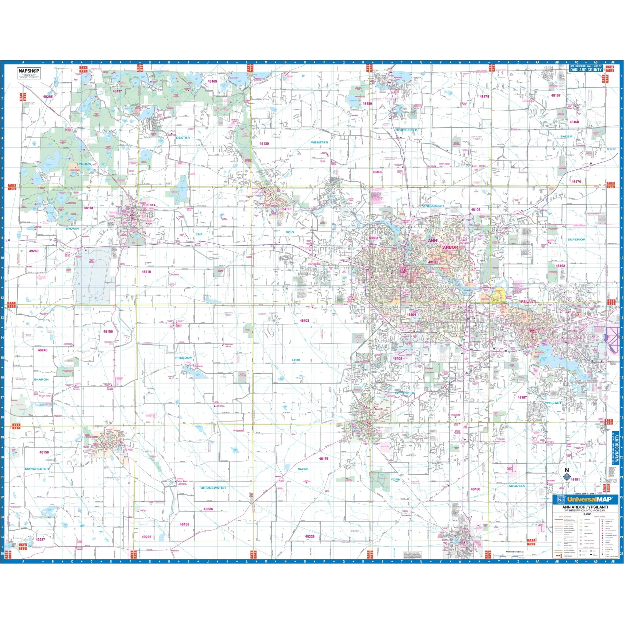
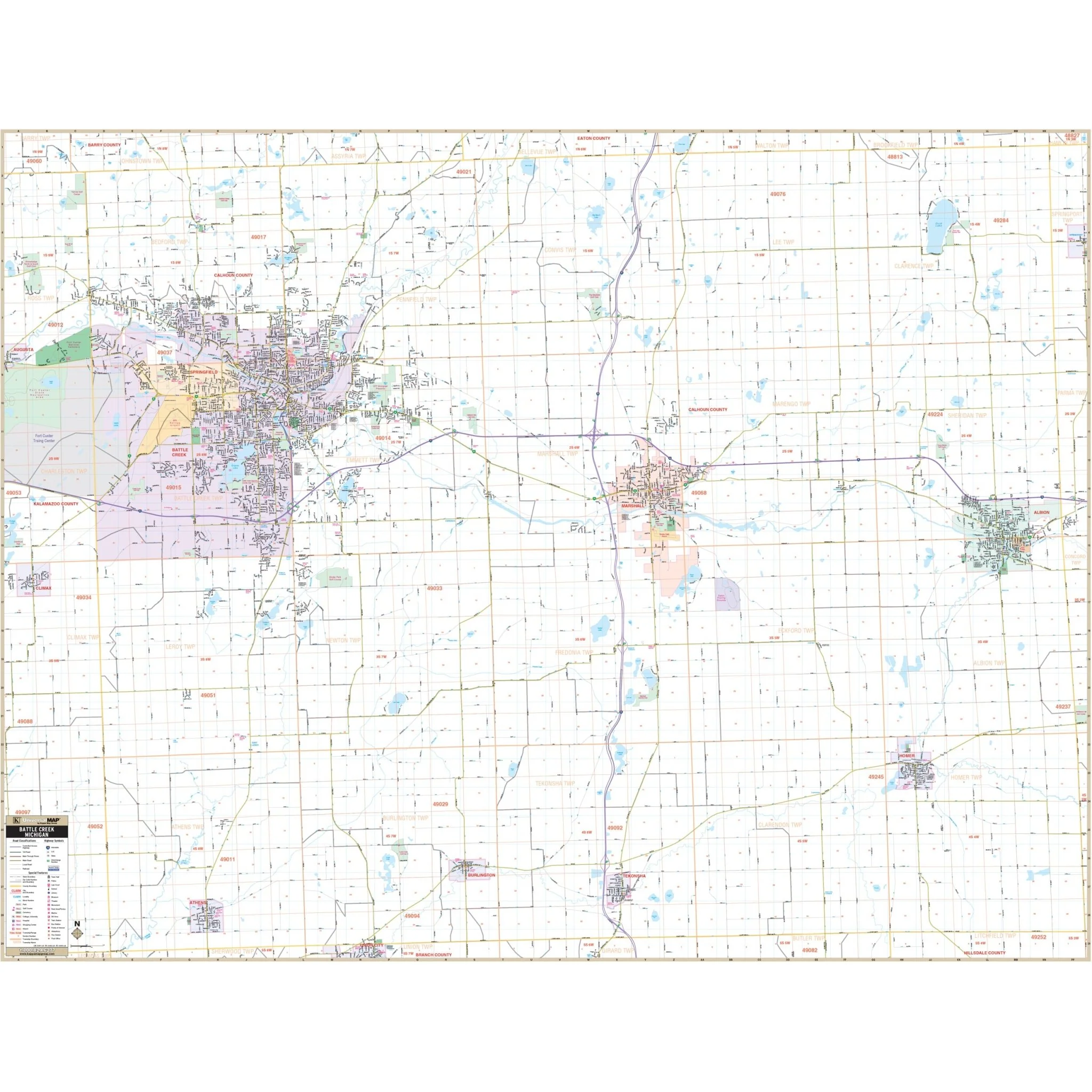
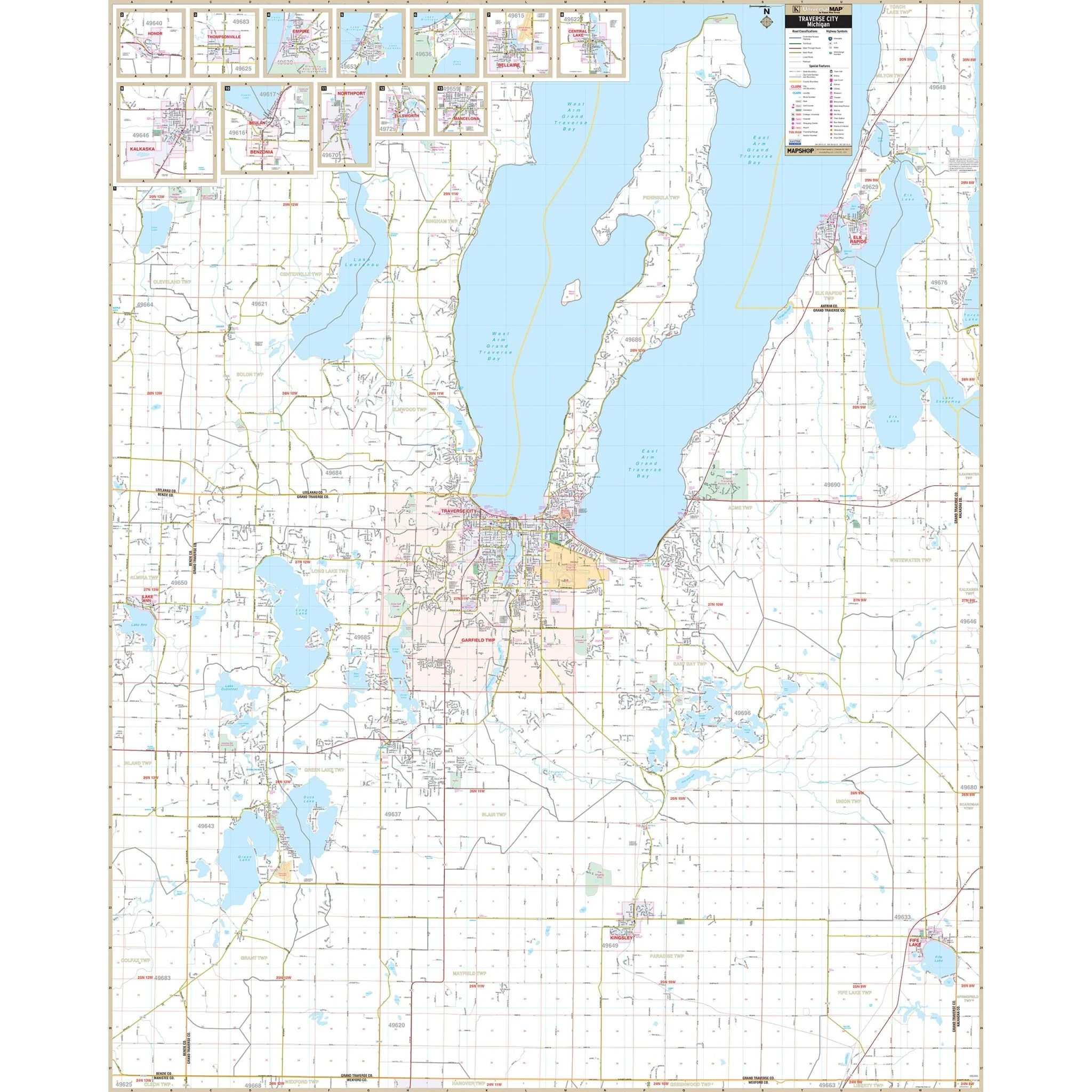
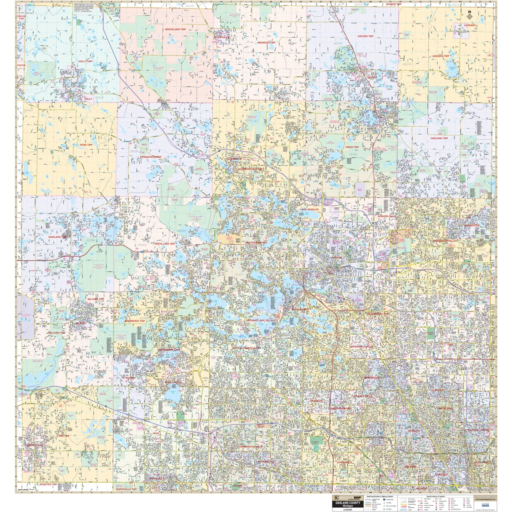
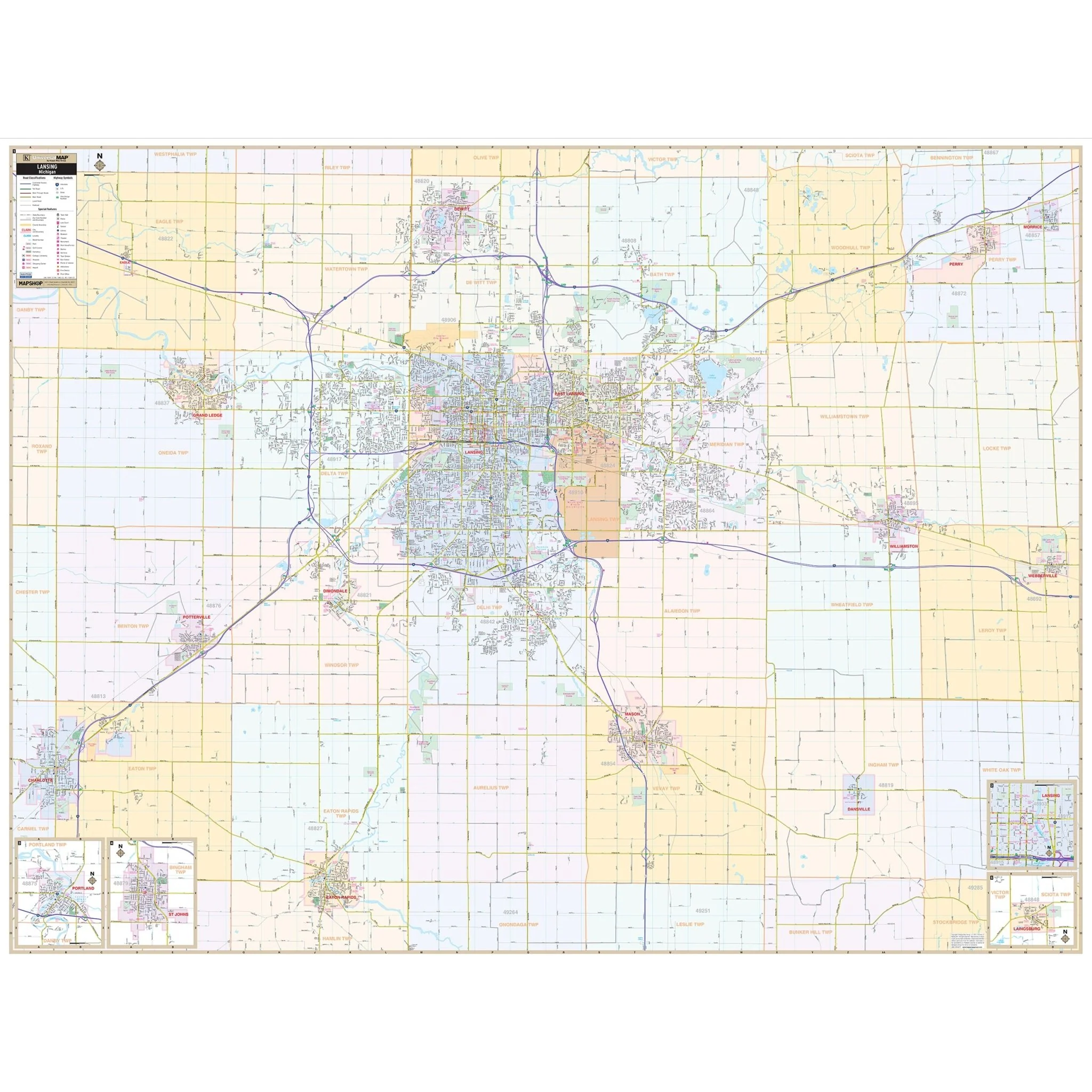
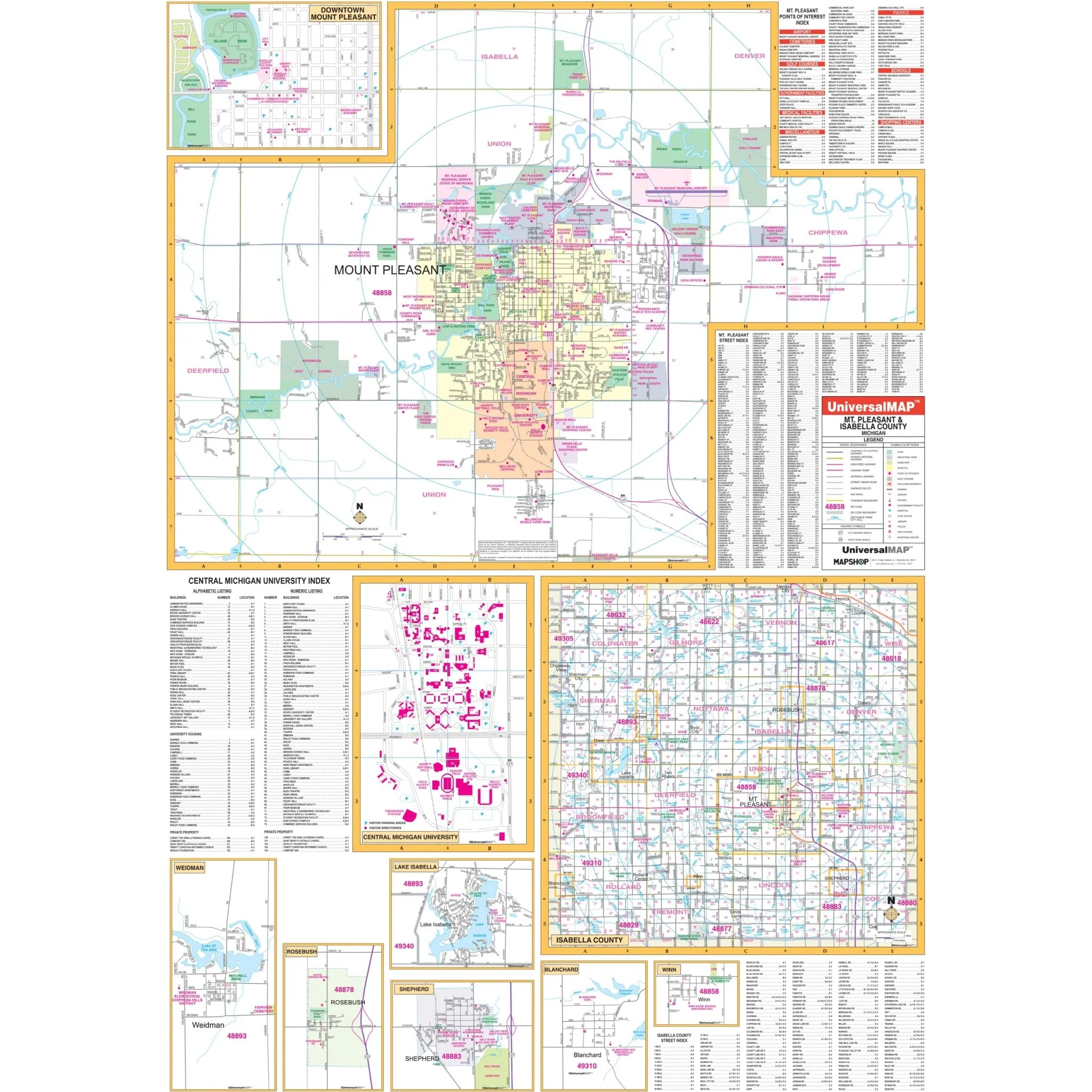
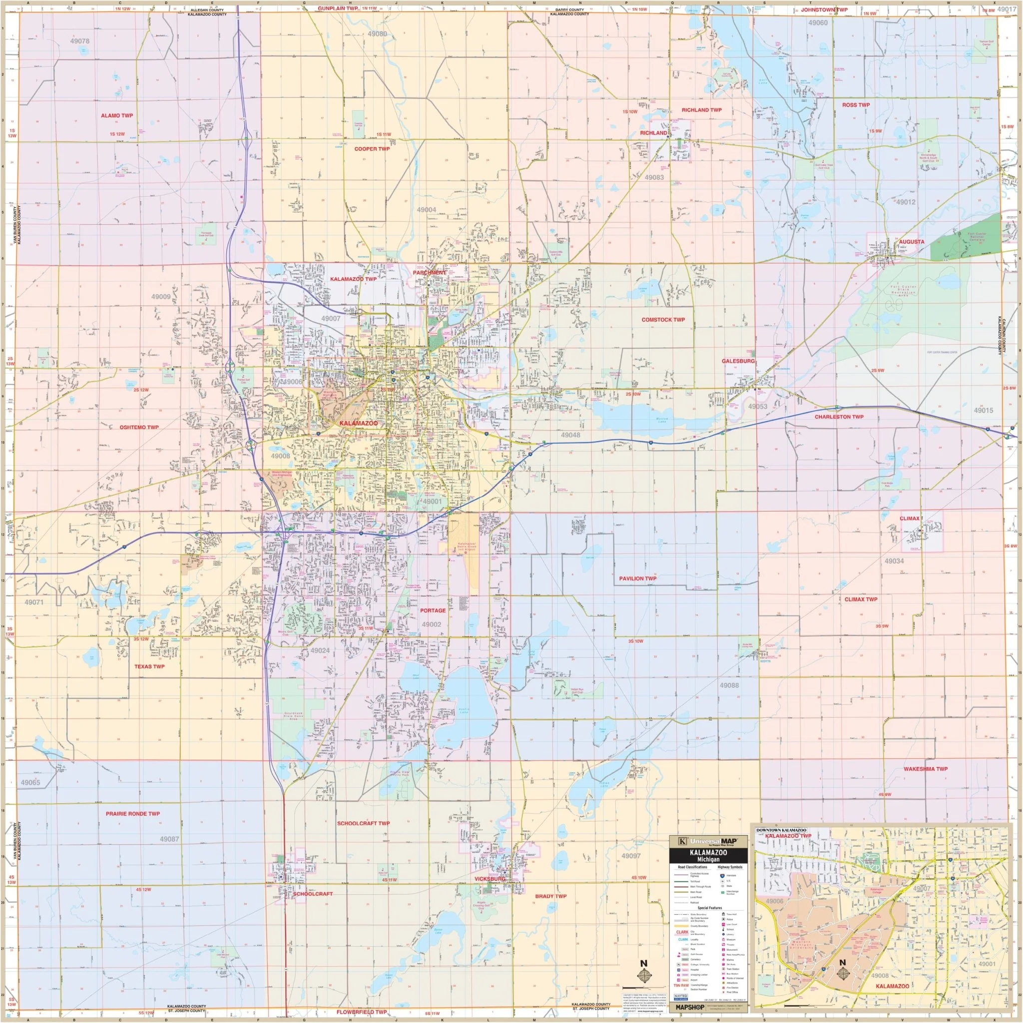
The Kalamazoo County, MI Wall Map, with adjacent areas, provides complete street detail. The area of coverage includes all of Kalamazoo County, with the following boundaries: North to the Kalamazoo-Allegan-Barry County lines, South to the Kalamazoo-St Joseph County line, East to the Kalamazoo-Calhoun County line, and West to the Kalamazoo-Van Buren County line.
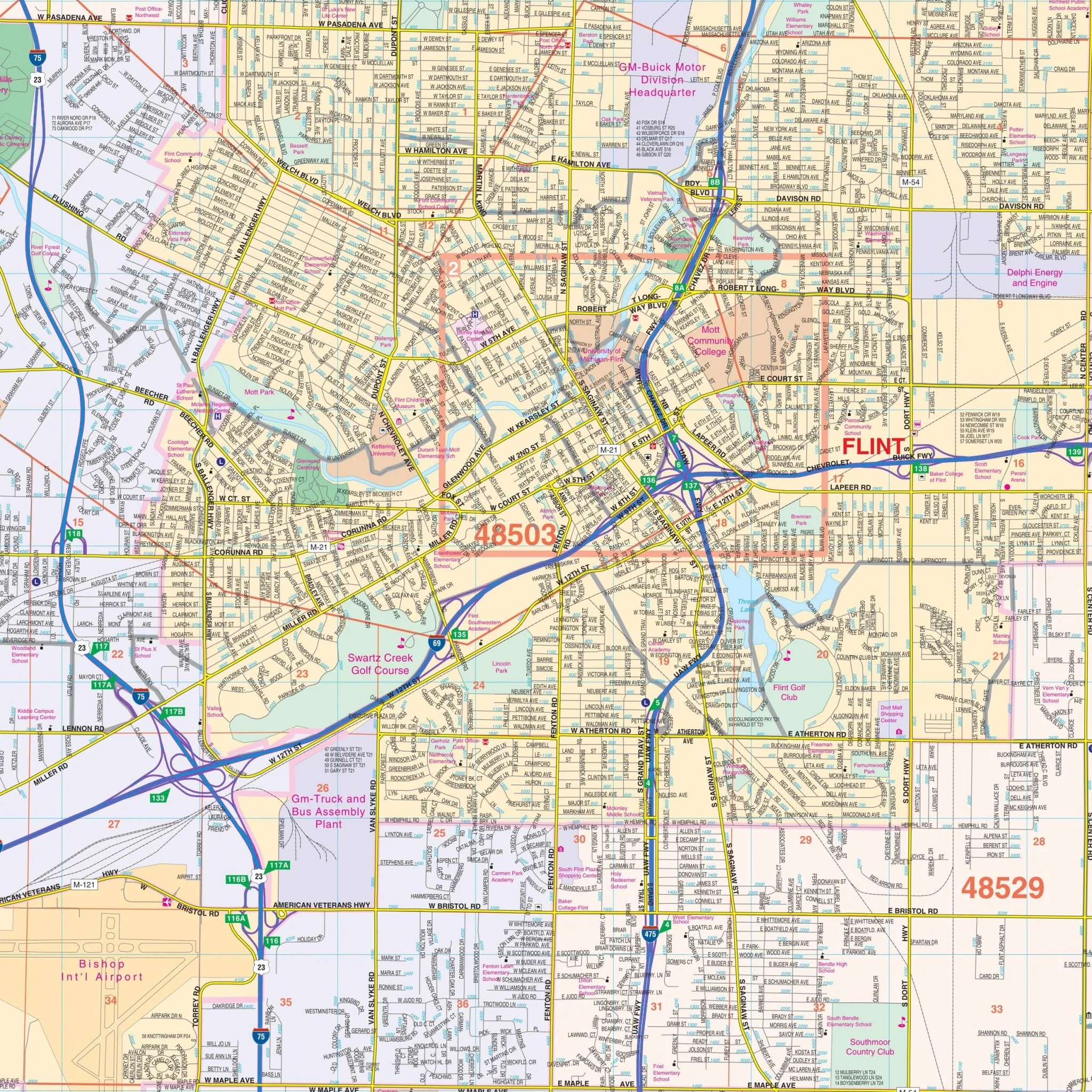
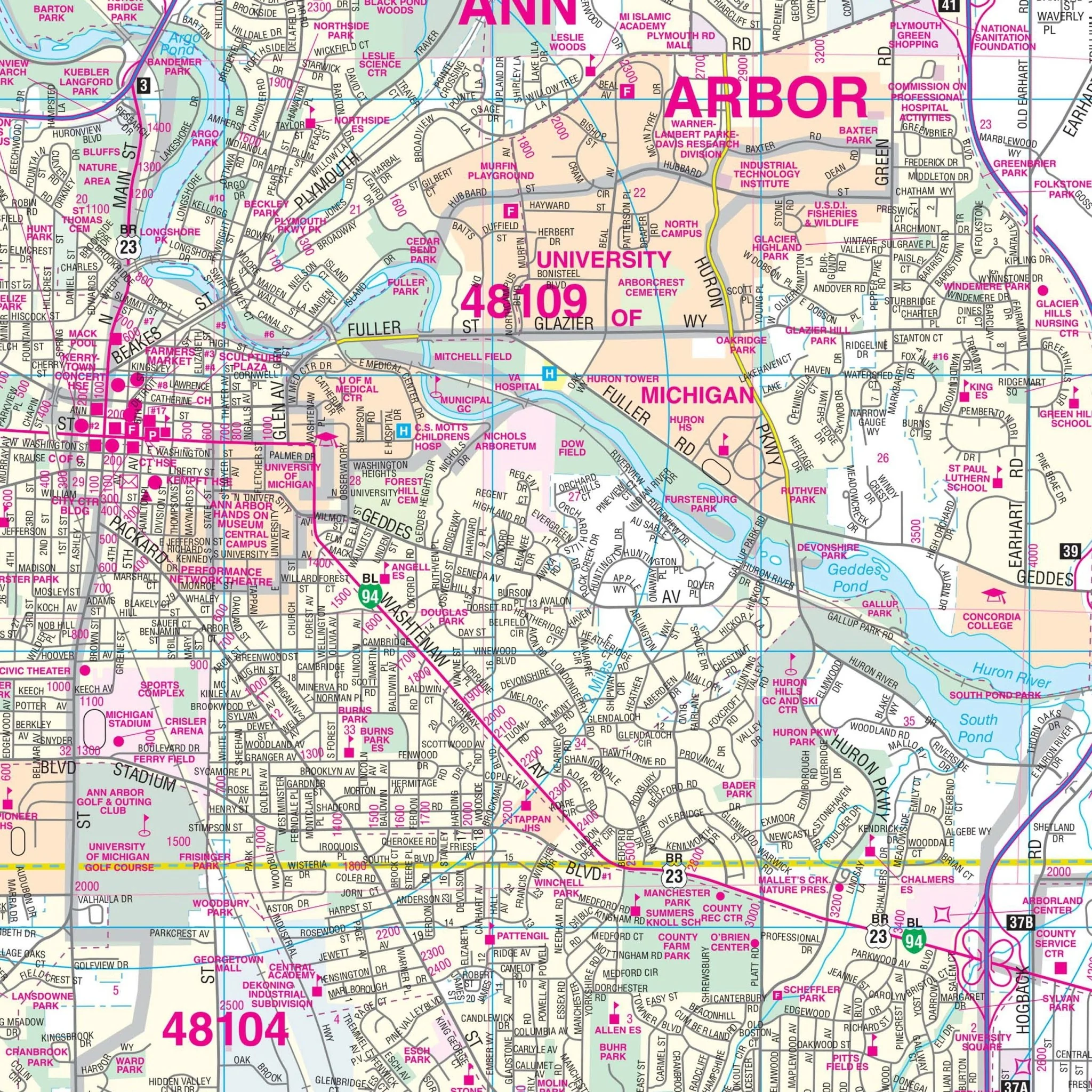
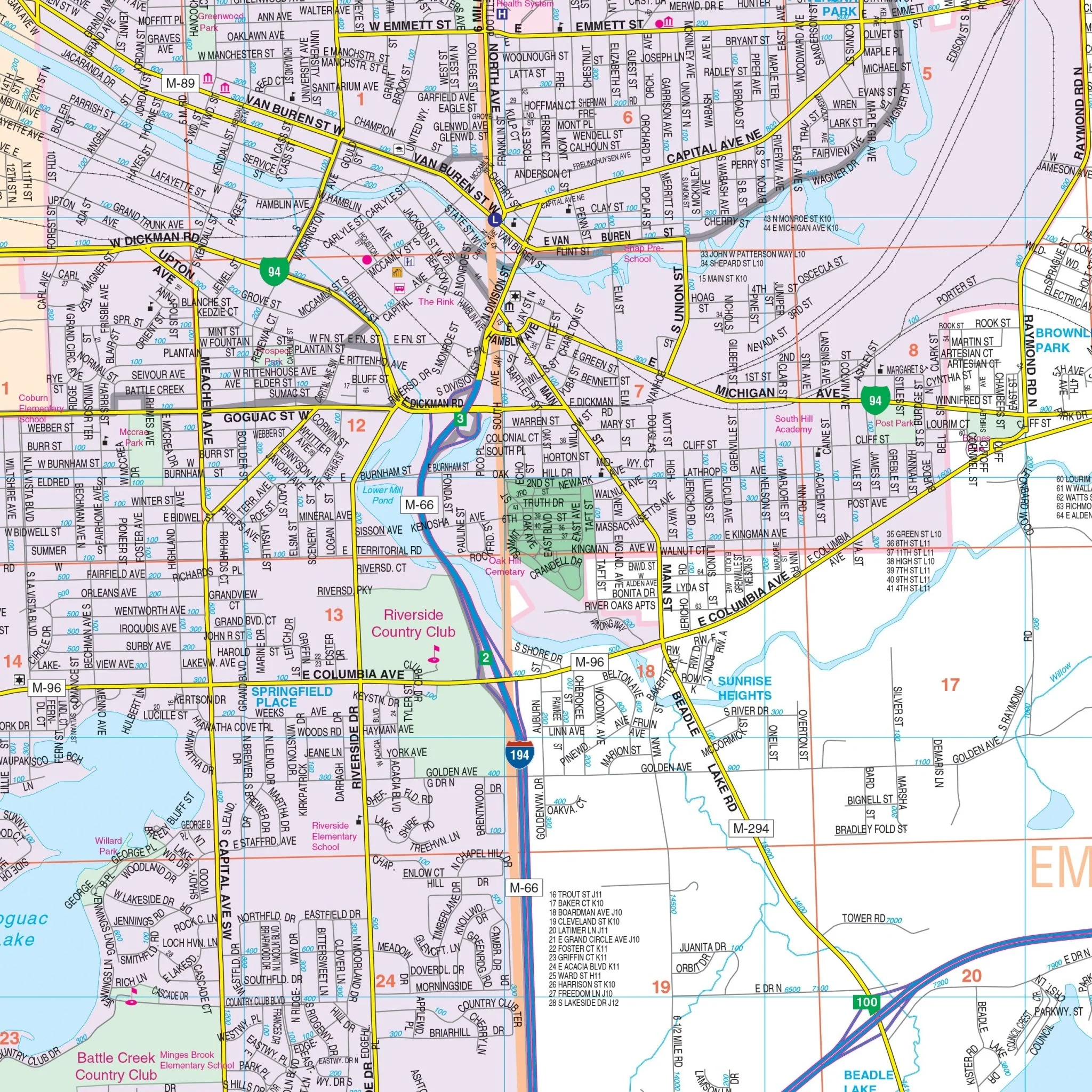
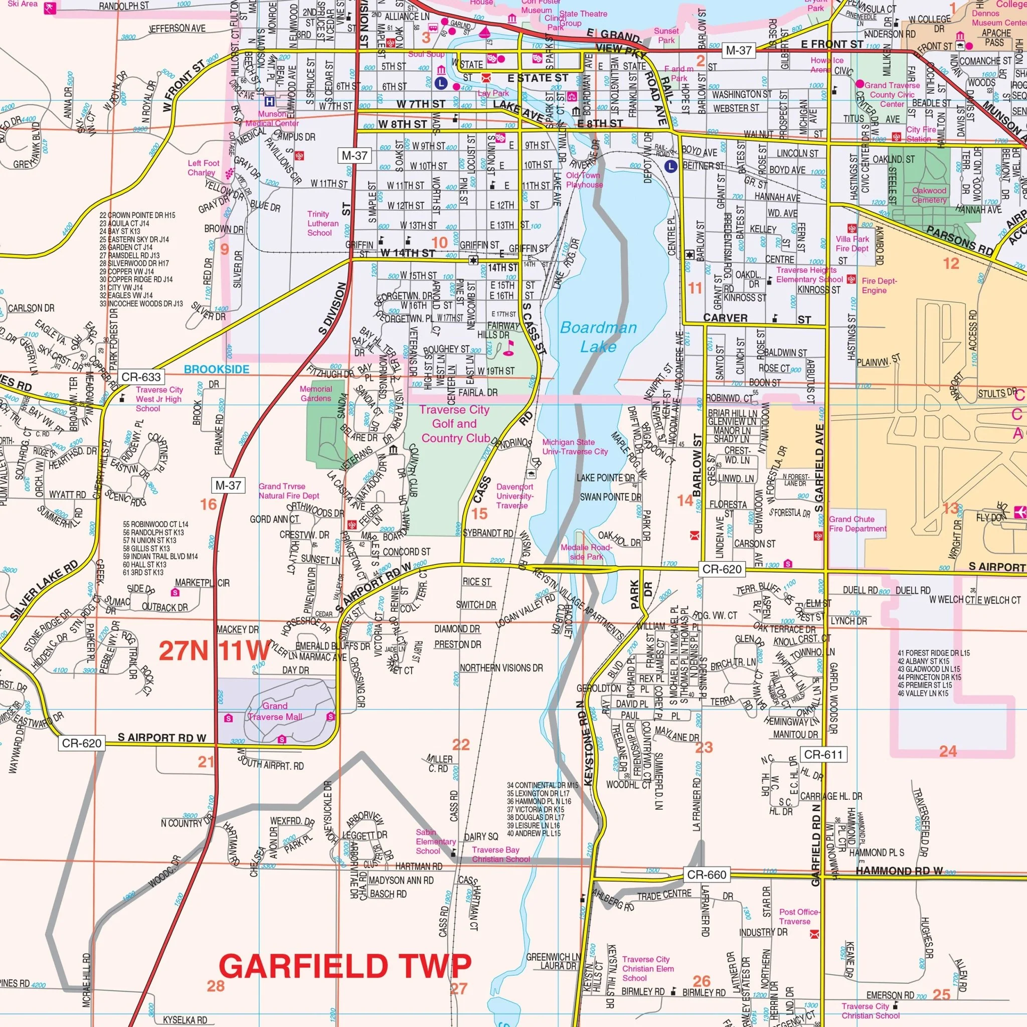
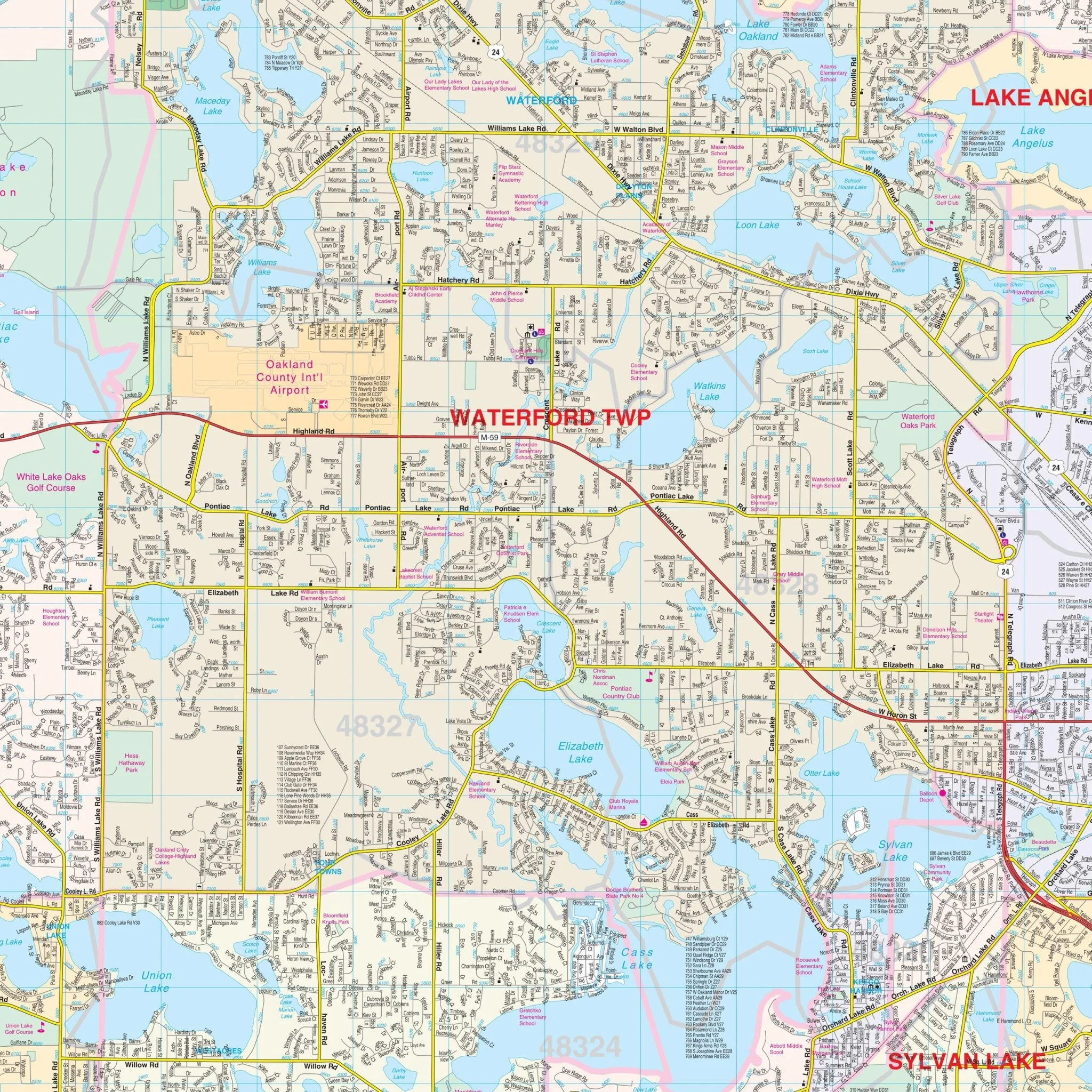
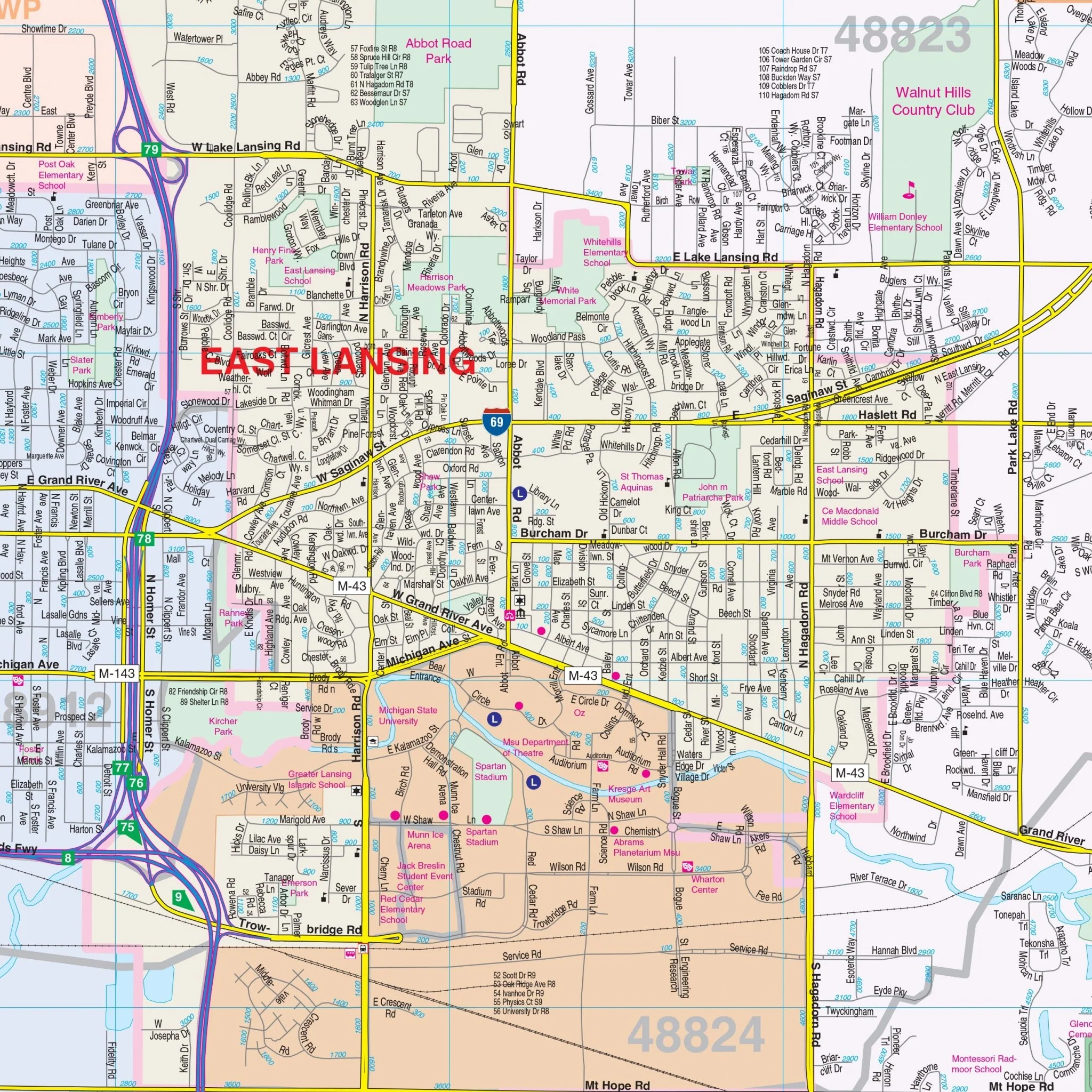
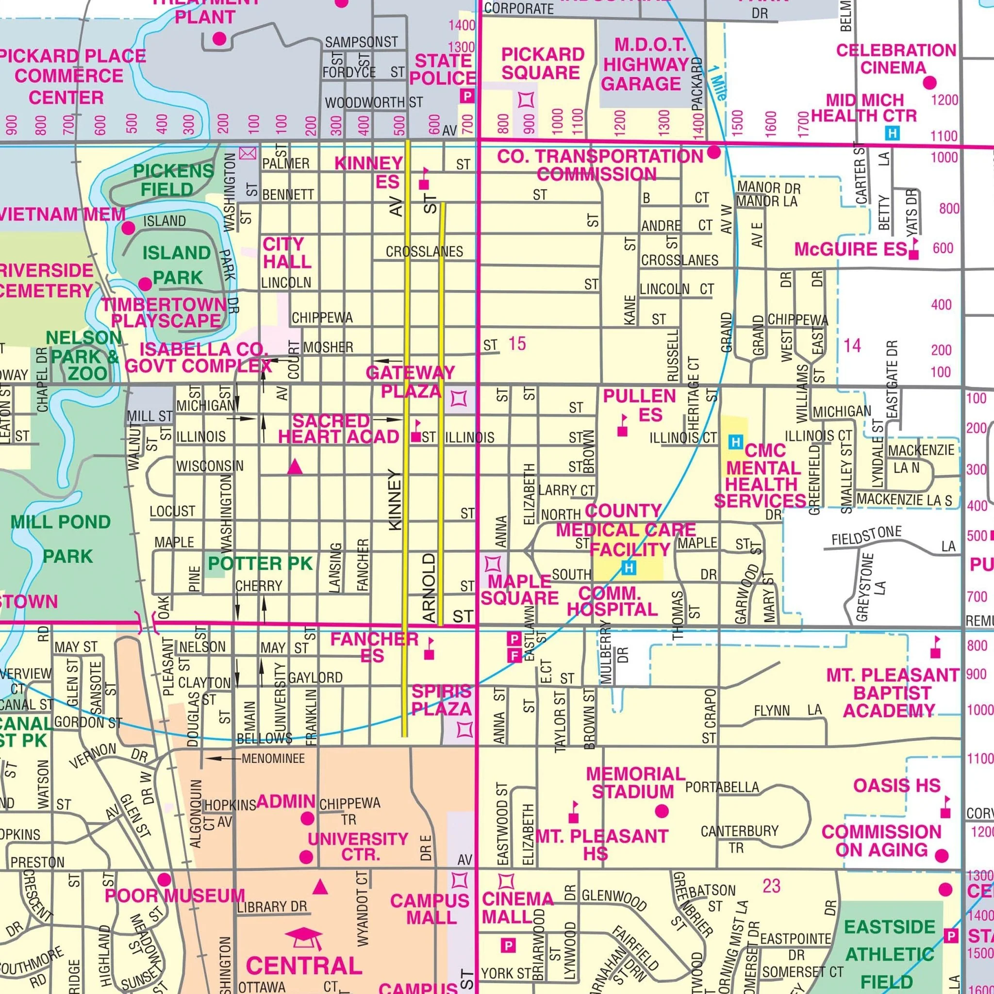
The Kalamazoo County, MI Wall Map also includes an inset map of Downtown Kalamazoo. Details and features include: Airports, Cemeteries, City Limits (color-coded), Educational Institutions, Fire & Police Stations, Golf & Country Clubs, Government Buildings, Hospitals, Libraries, Post Offices, Railroads, Recreational Parks, Section, Township & Range Lines, Shopping Centers, Streets & Highways, Township Names & Boundaries, Water Features, and Zip Code Boundaries.
Size: 57" x 57"
Published: 2014
Original: $139.99
-70%$139.99
$42.00Product Information
Product Information
Shipping & Returns
Shipping & Returns
Description
The Kalamazoo County, MI Wall Map, with adjacent areas, provides complete street detail. The area of coverage includes all of Kalamazoo County, with the following boundaries: North to the Kalamazoo-Allegan-Barry County lines, South to the Kalamazoo-St Joseph County line, East to the Kalamazoo-Calhoun County line, and West to the Kalamazoo-Van Buren County line.
The Kalamazoo County, MI Wall Map also includes an inset map of Downtown Kalamazoo. Details and features include: Airports, Cemeteries, City Limits (color-coded), Educational Institutions, Fire & Police Stations, Golf & Country Clubs, Government Buildings, Hospitals, Libraries, Post Offices, Railroads, Recreational Parks, Section, Township & Range Lines, Shopping Centers, Streets & Highways, Township Names & Boundaries, Water Features, and Zip Code Boundaries.
Size: 57" x 57"
Published: 2014