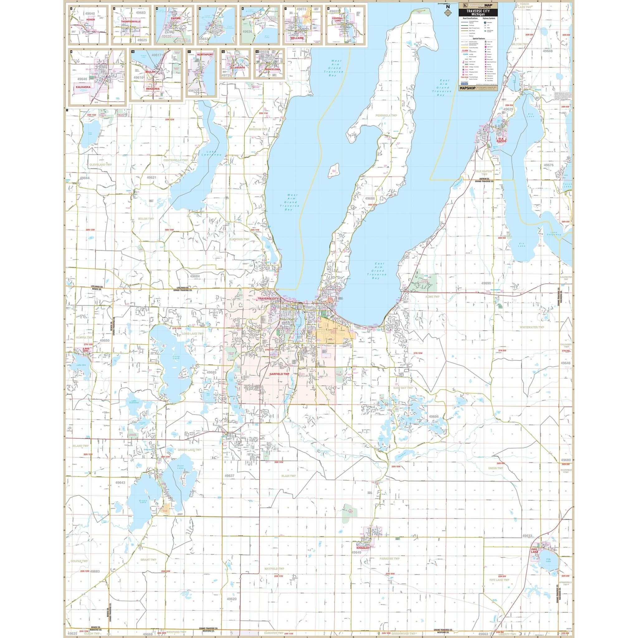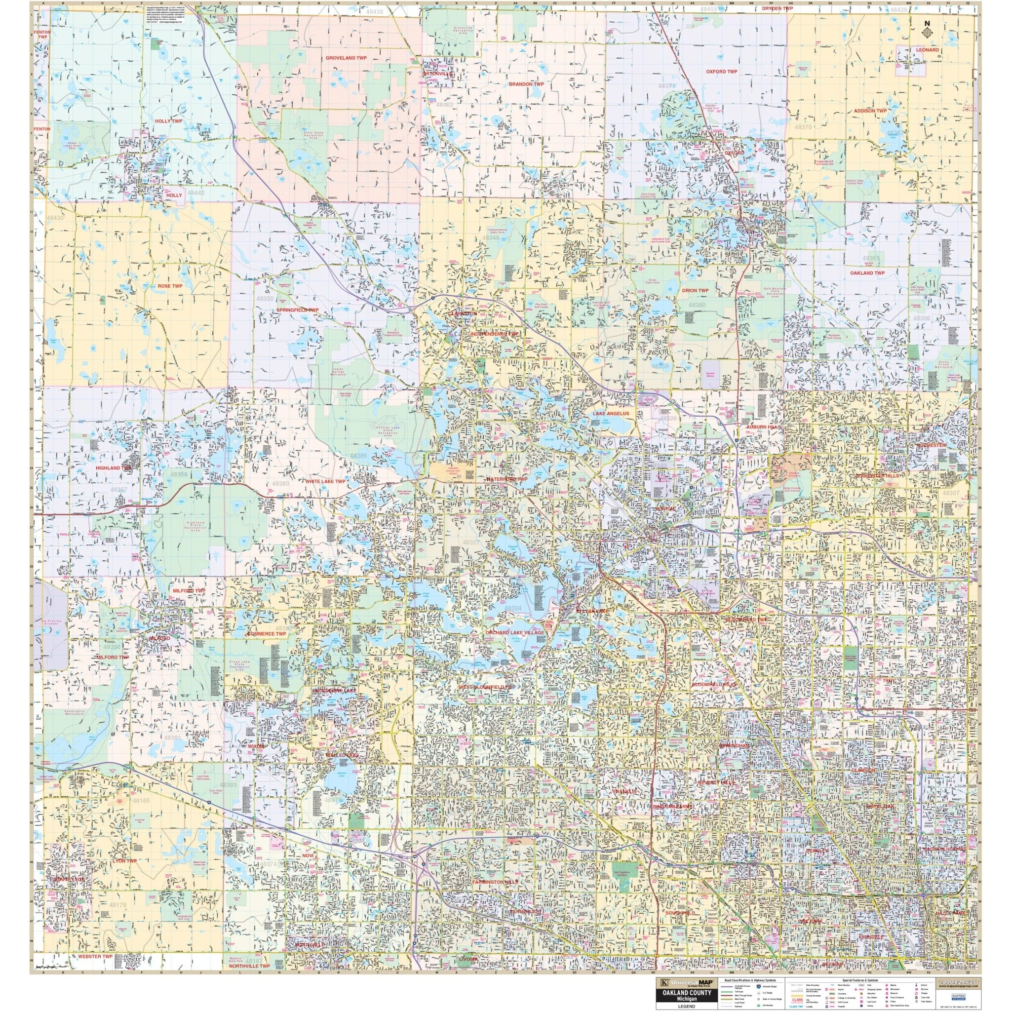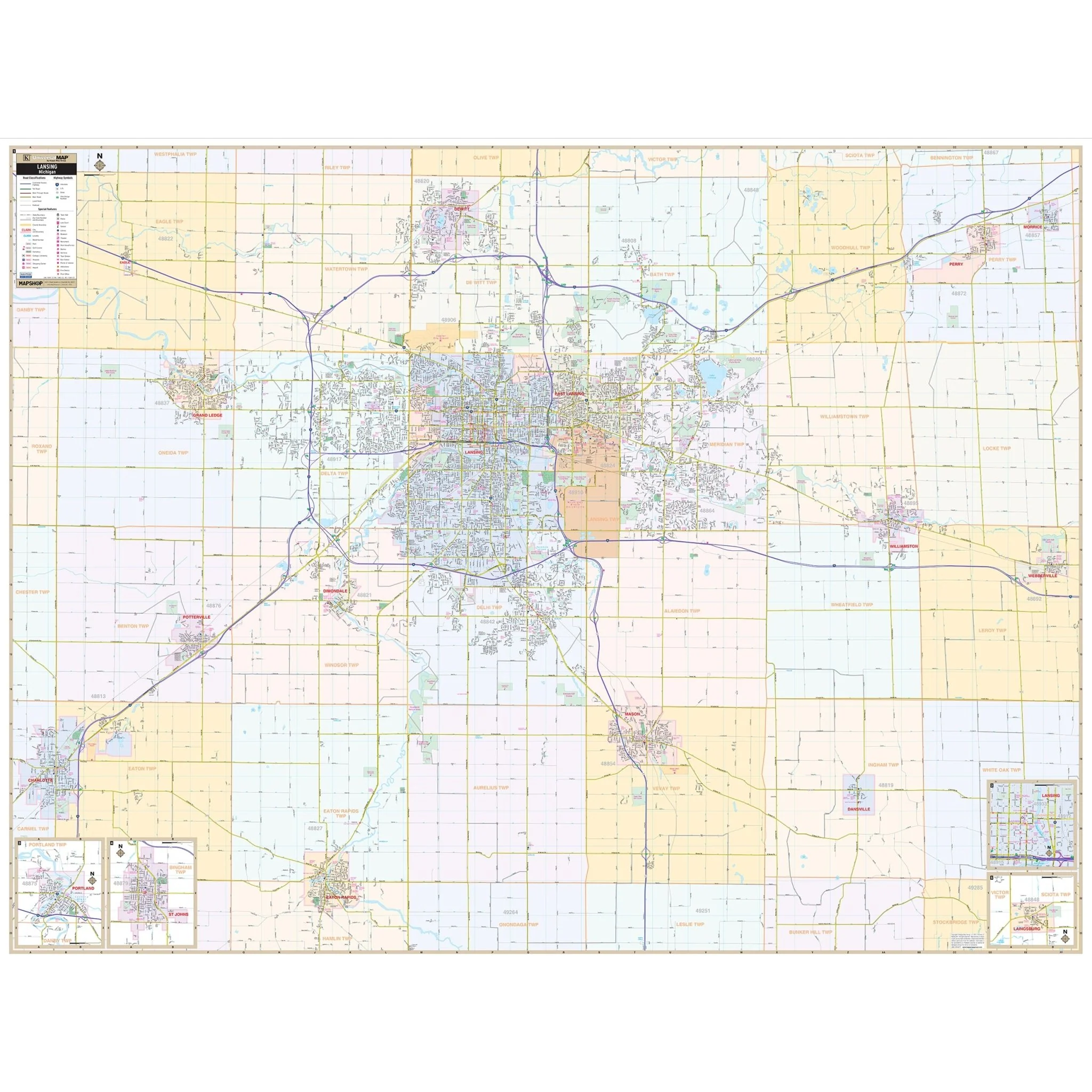


Livingston County, MI Wall Map
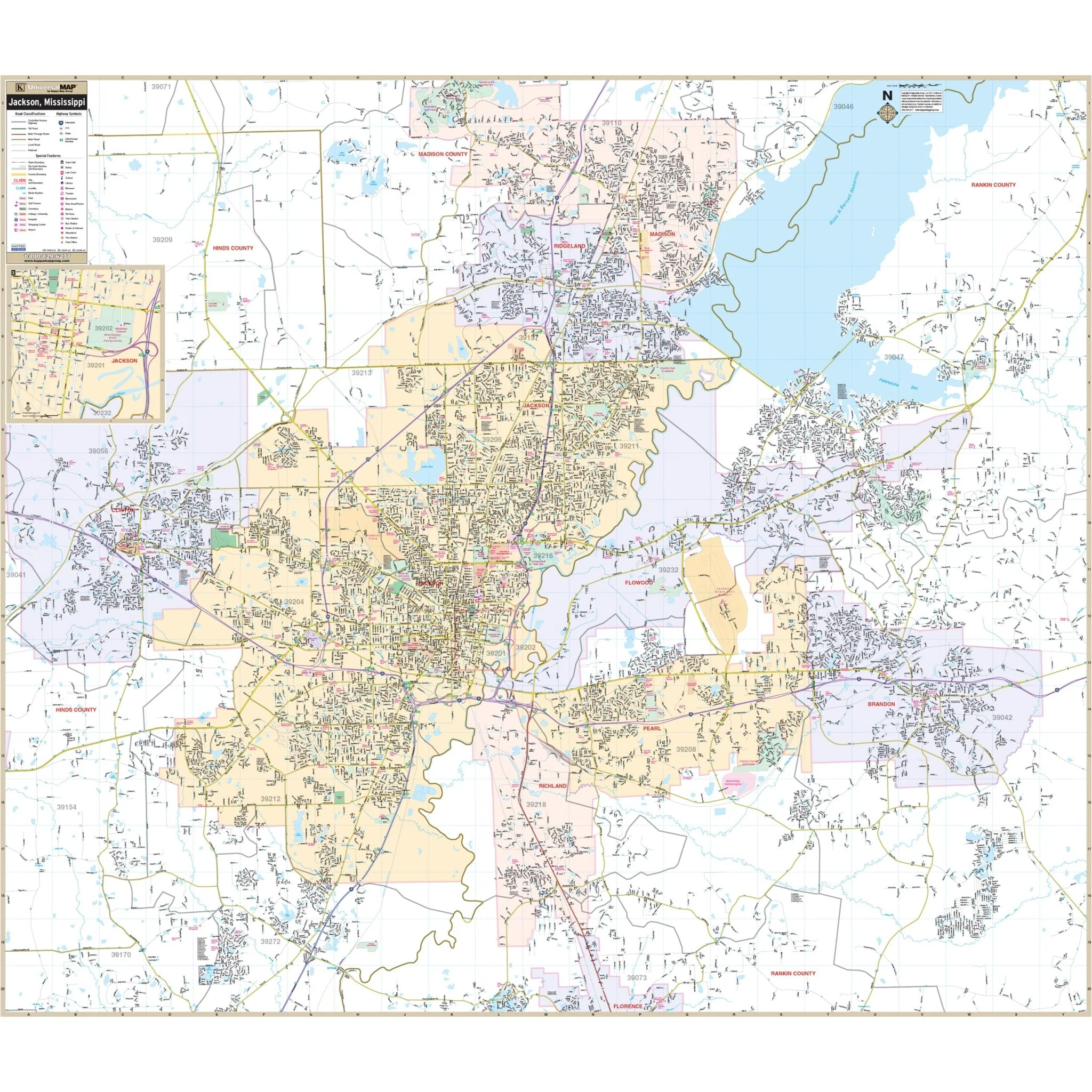
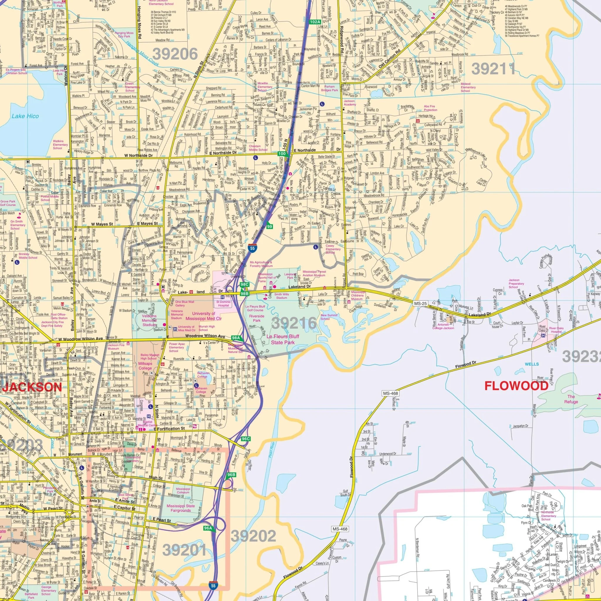
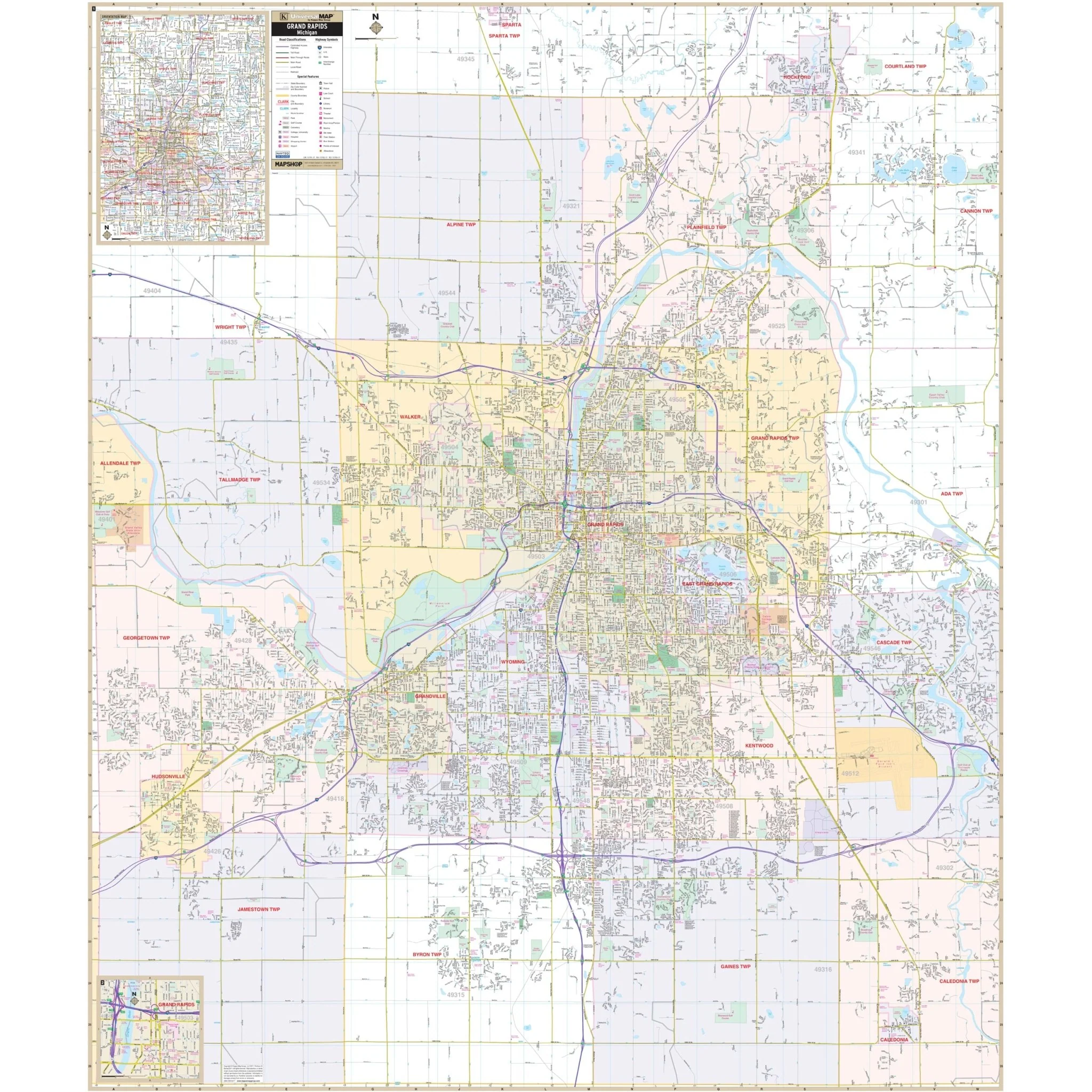
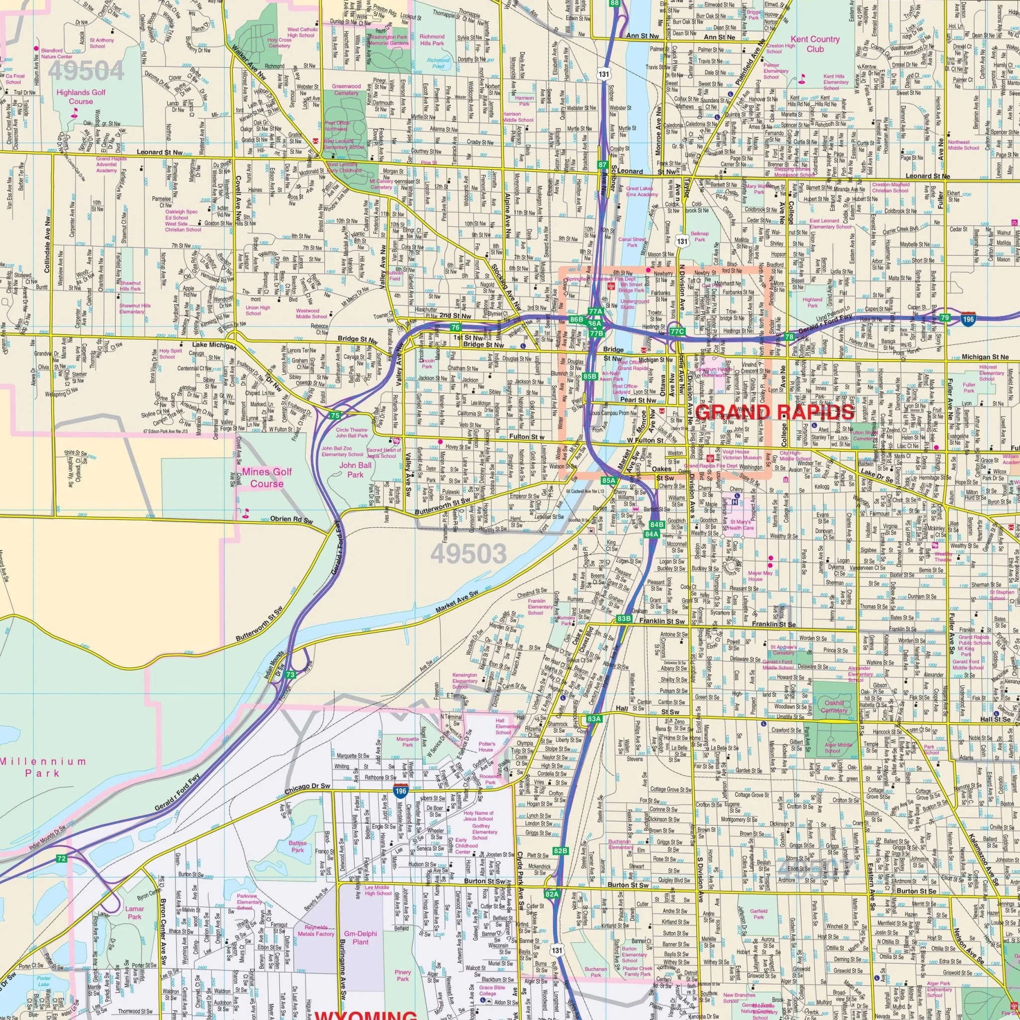
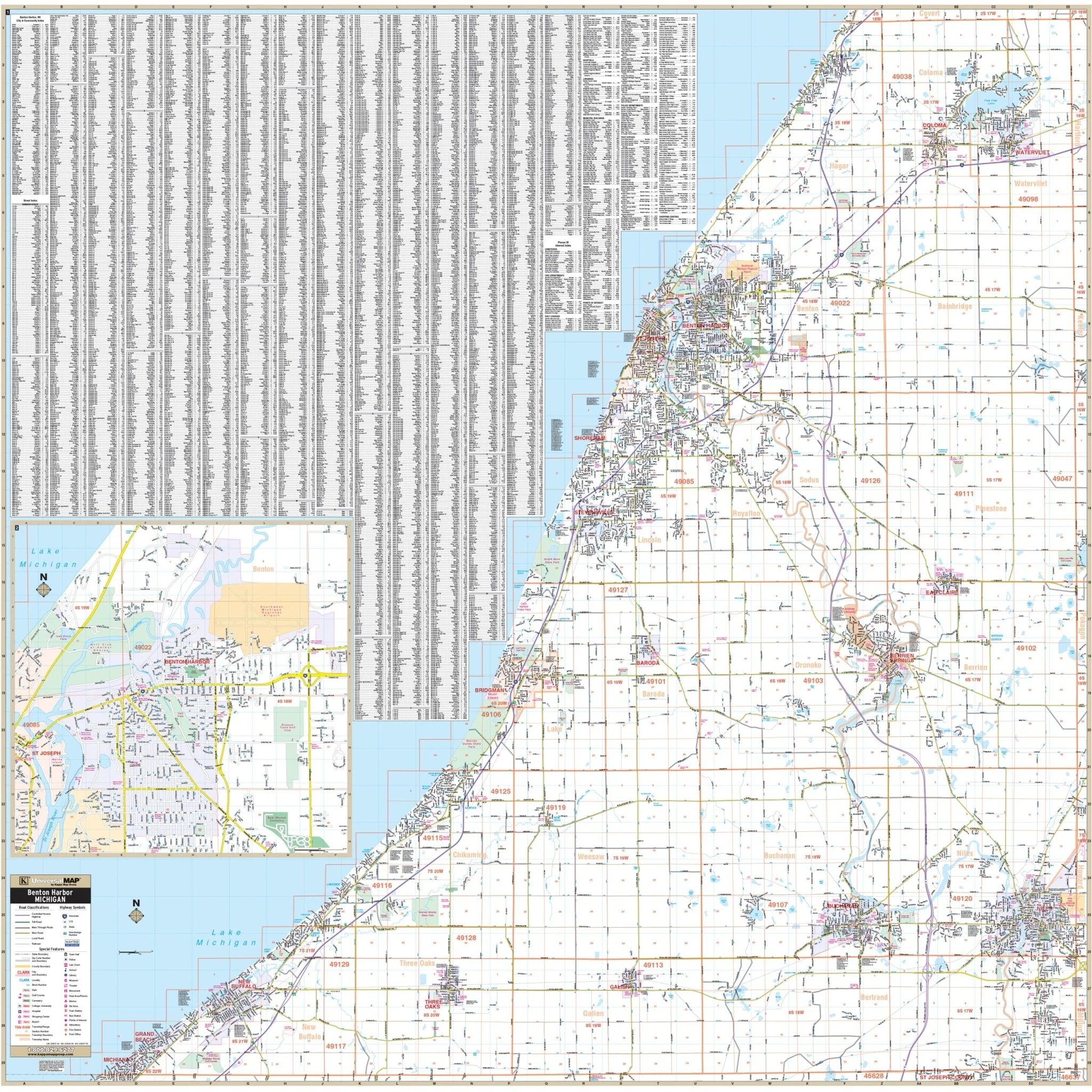
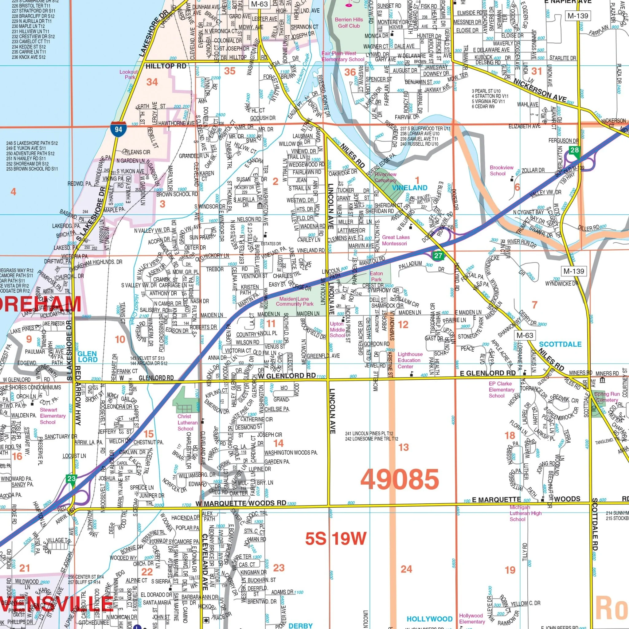
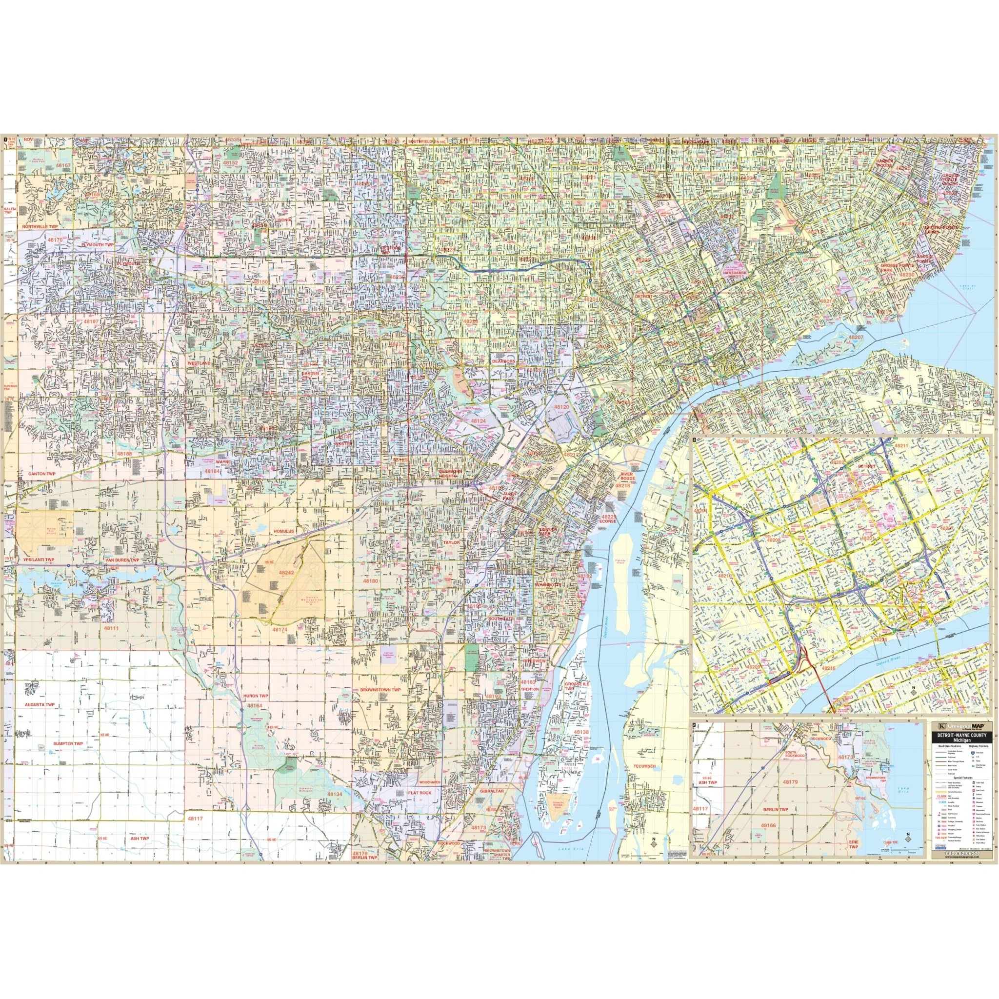
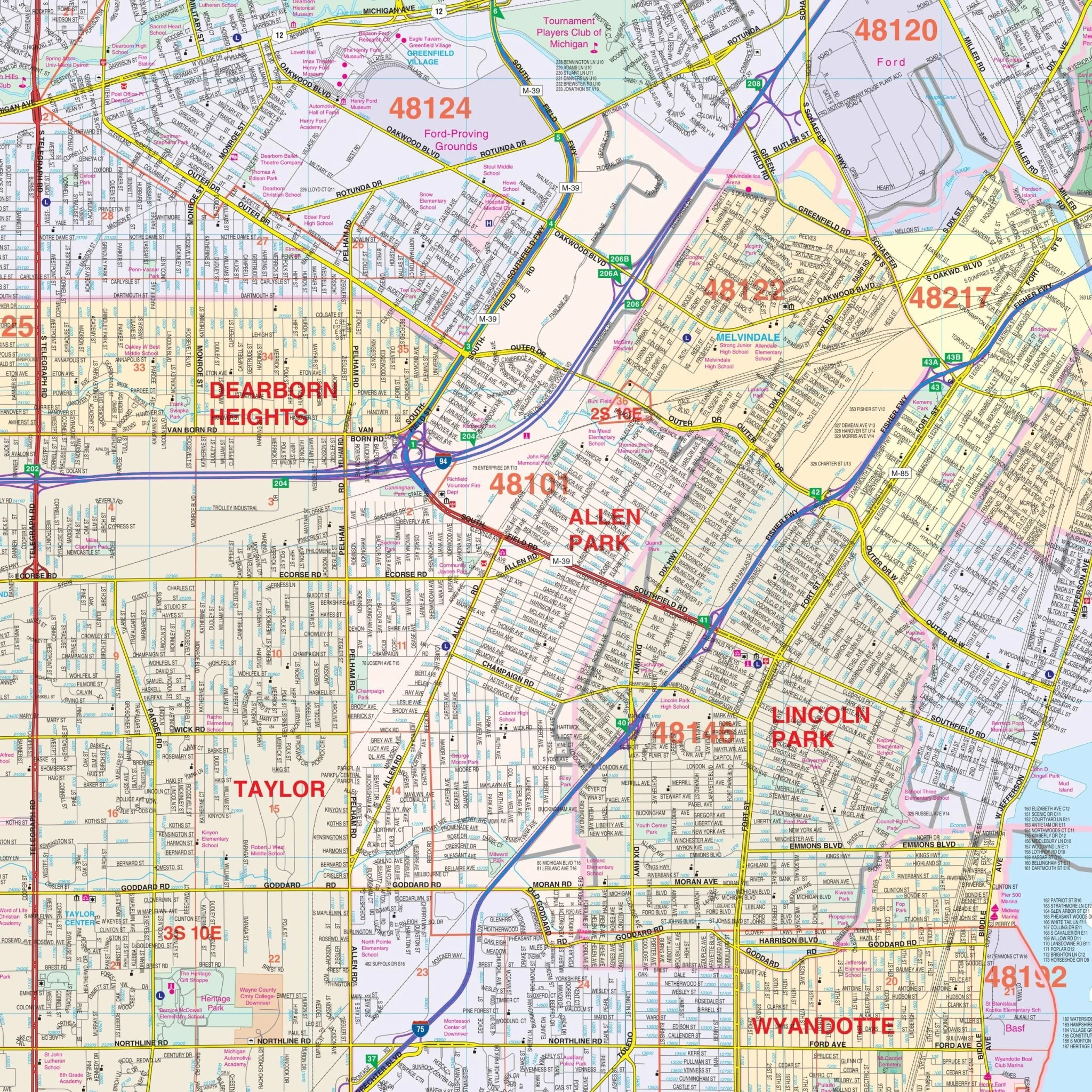
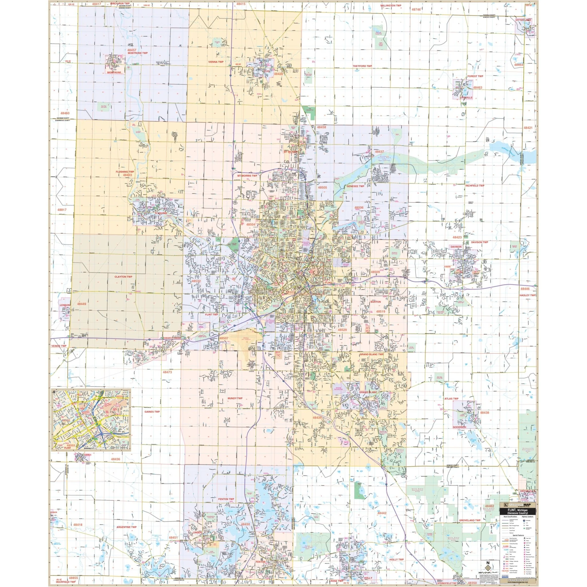
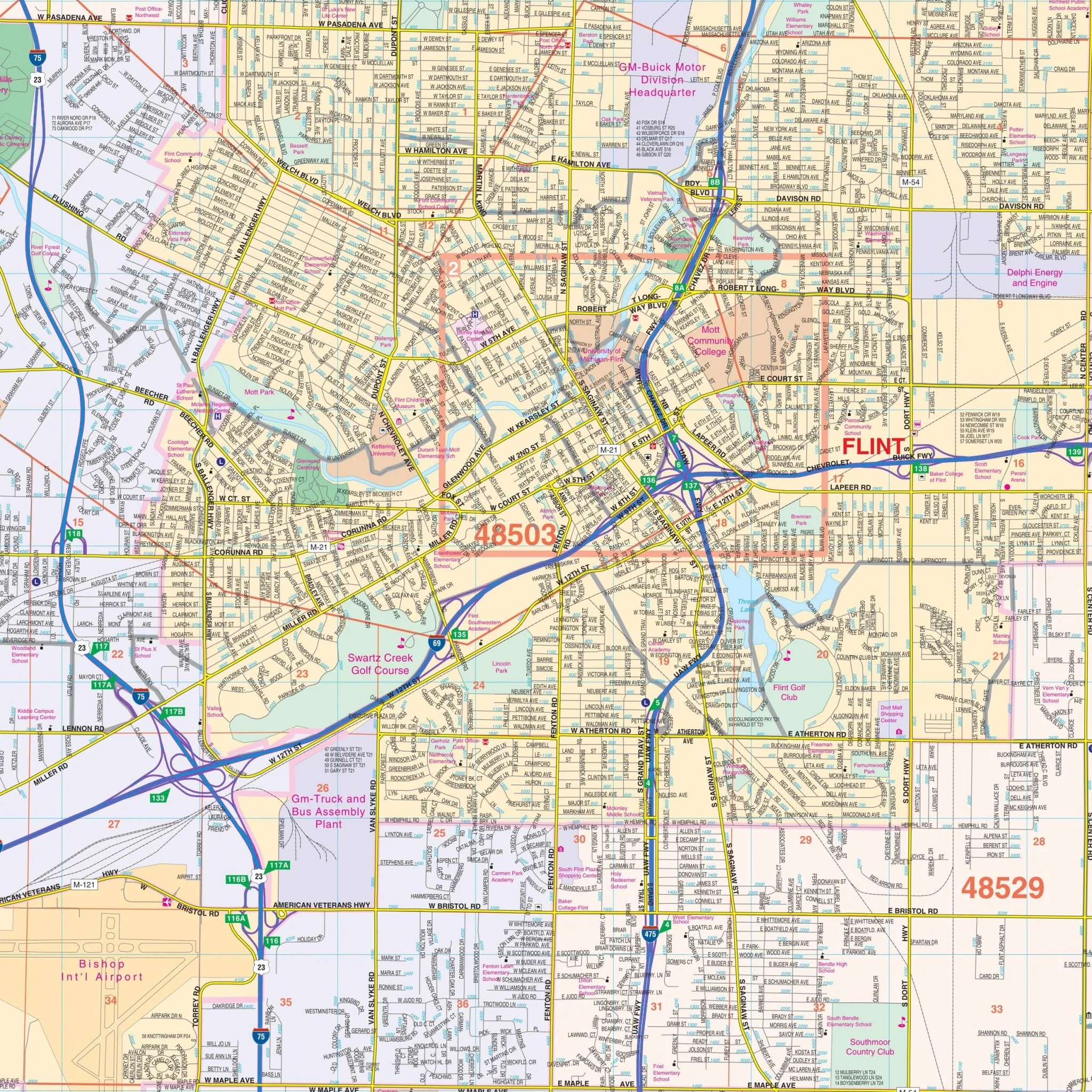
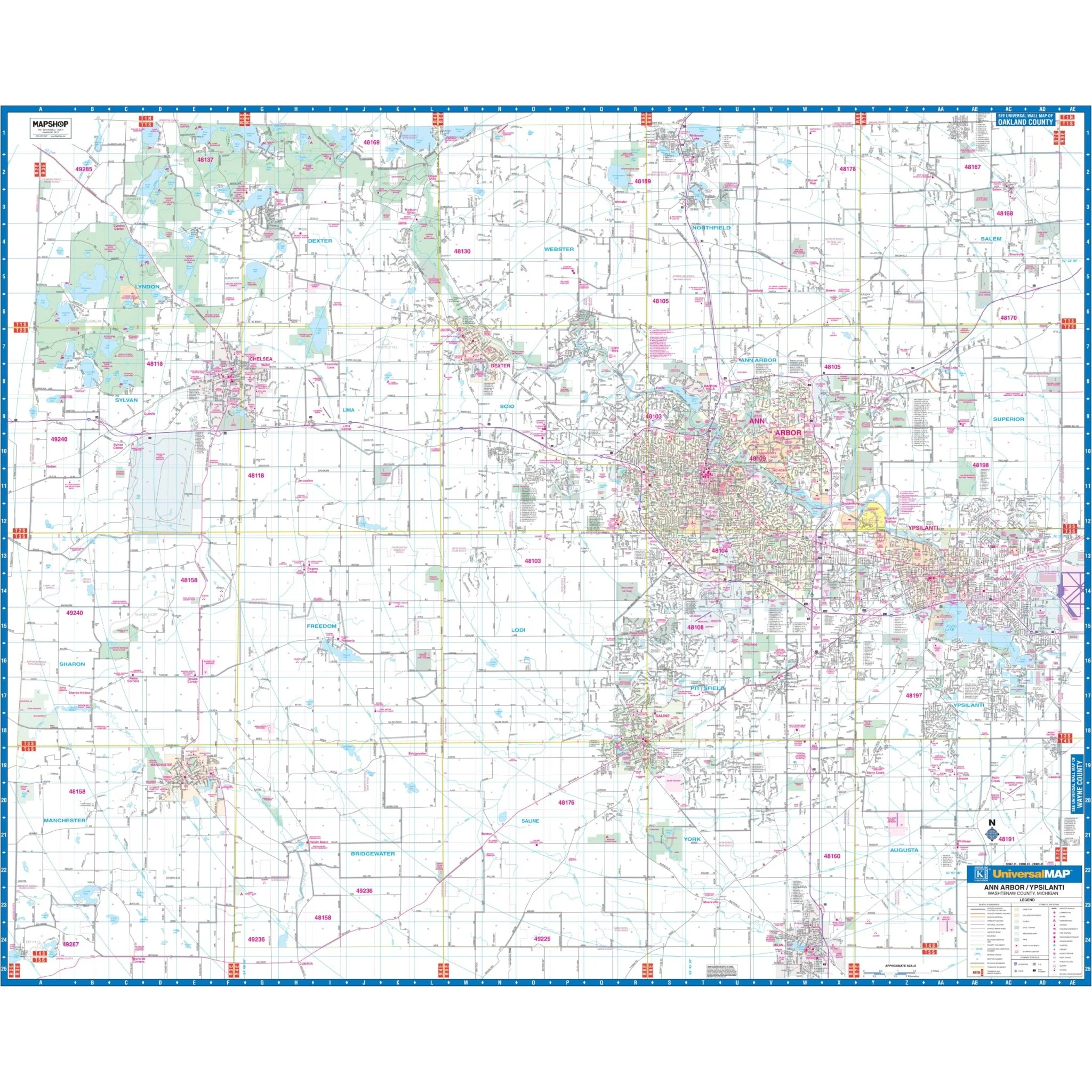
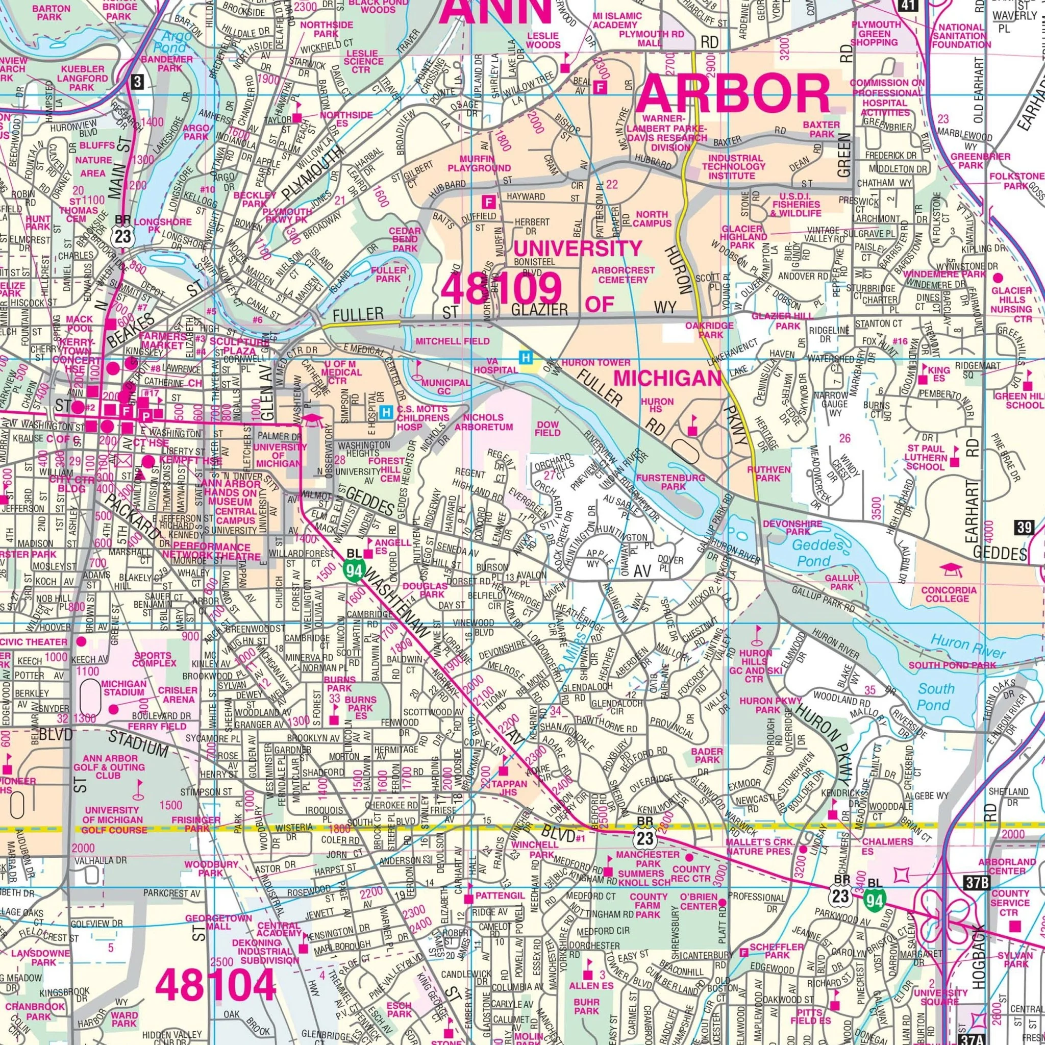
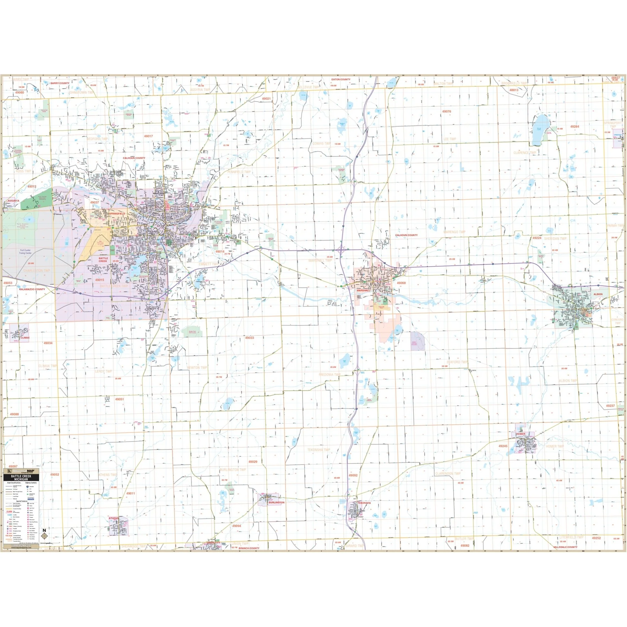
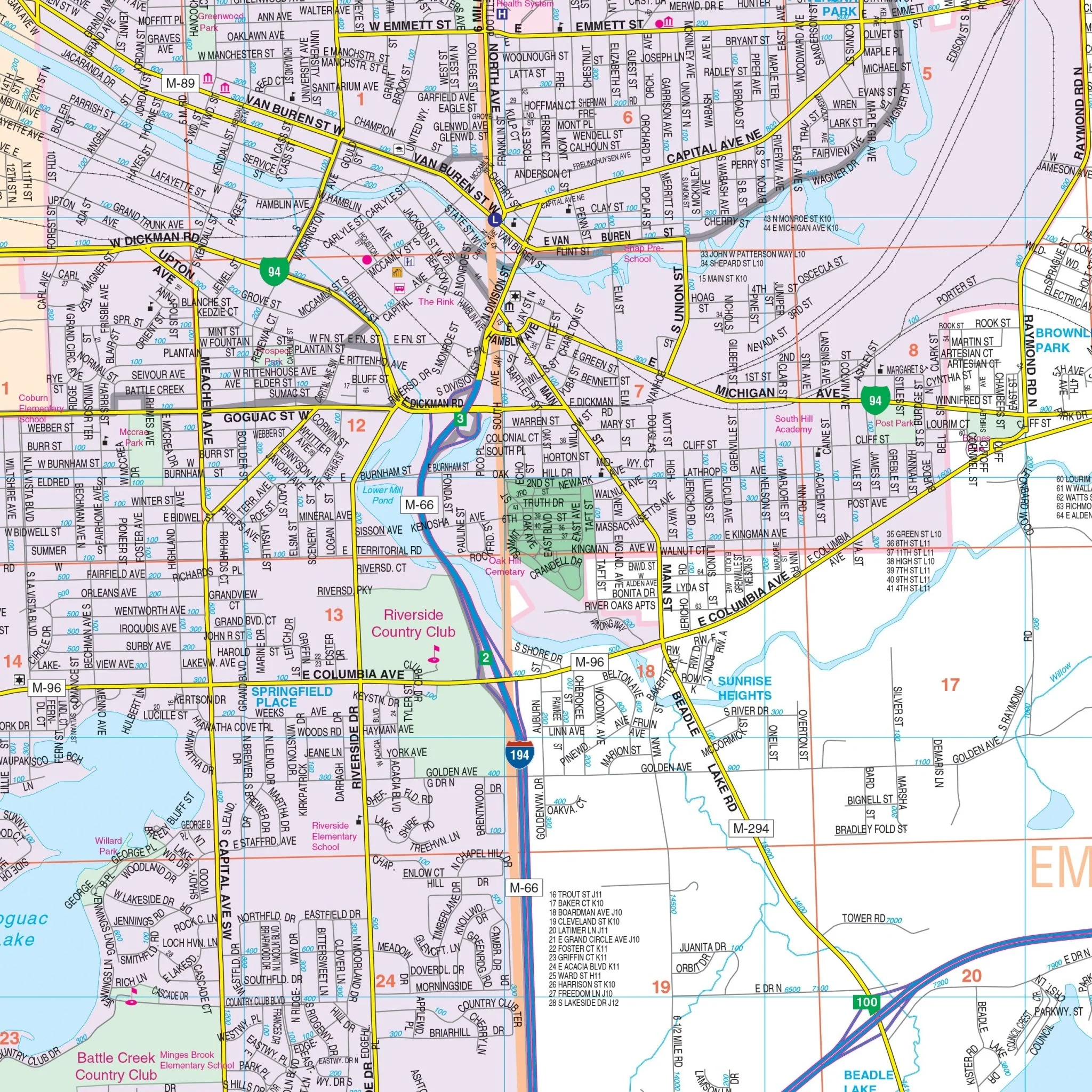
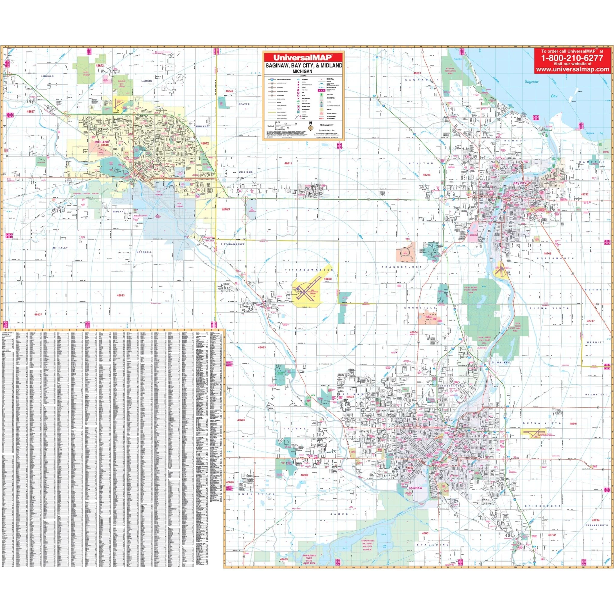
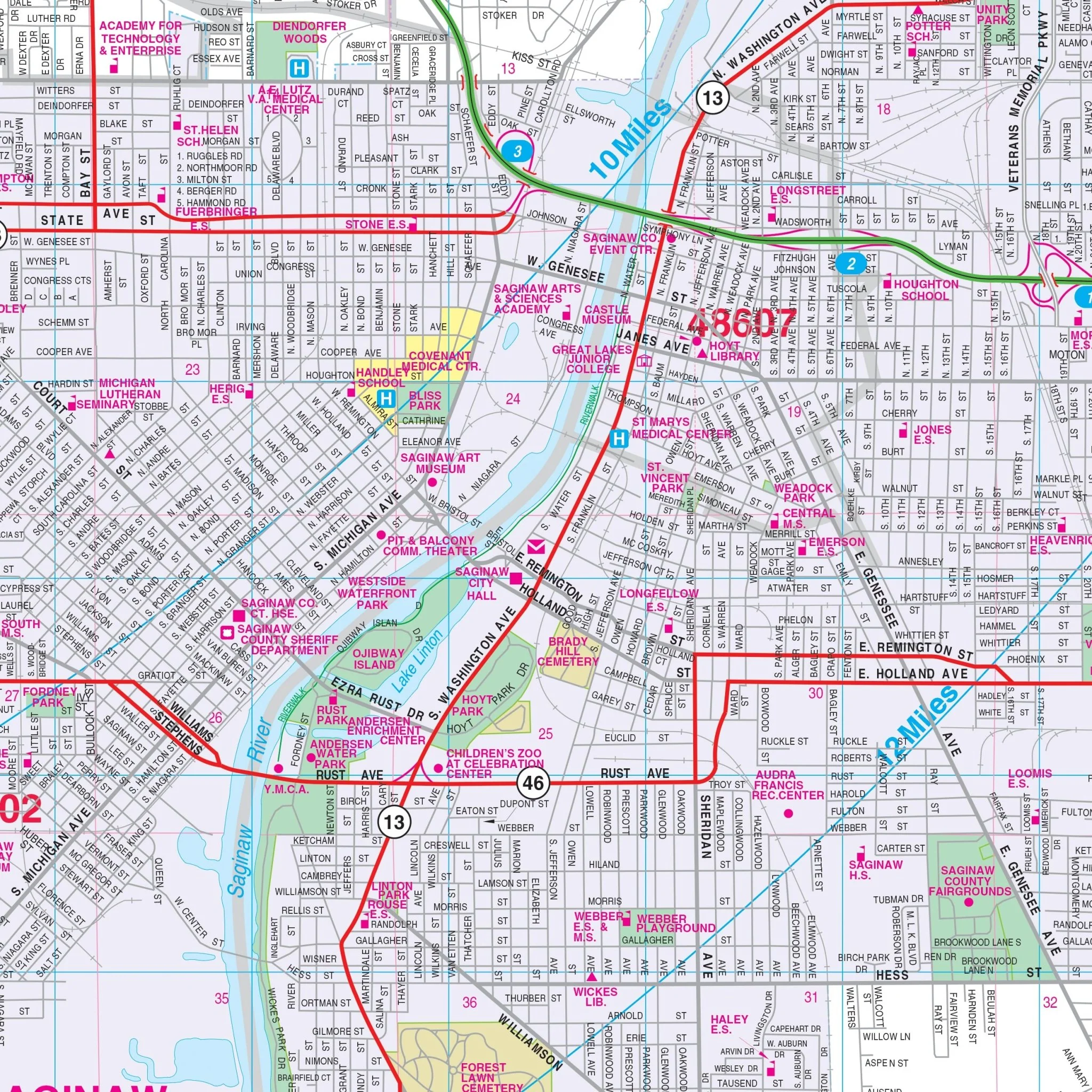
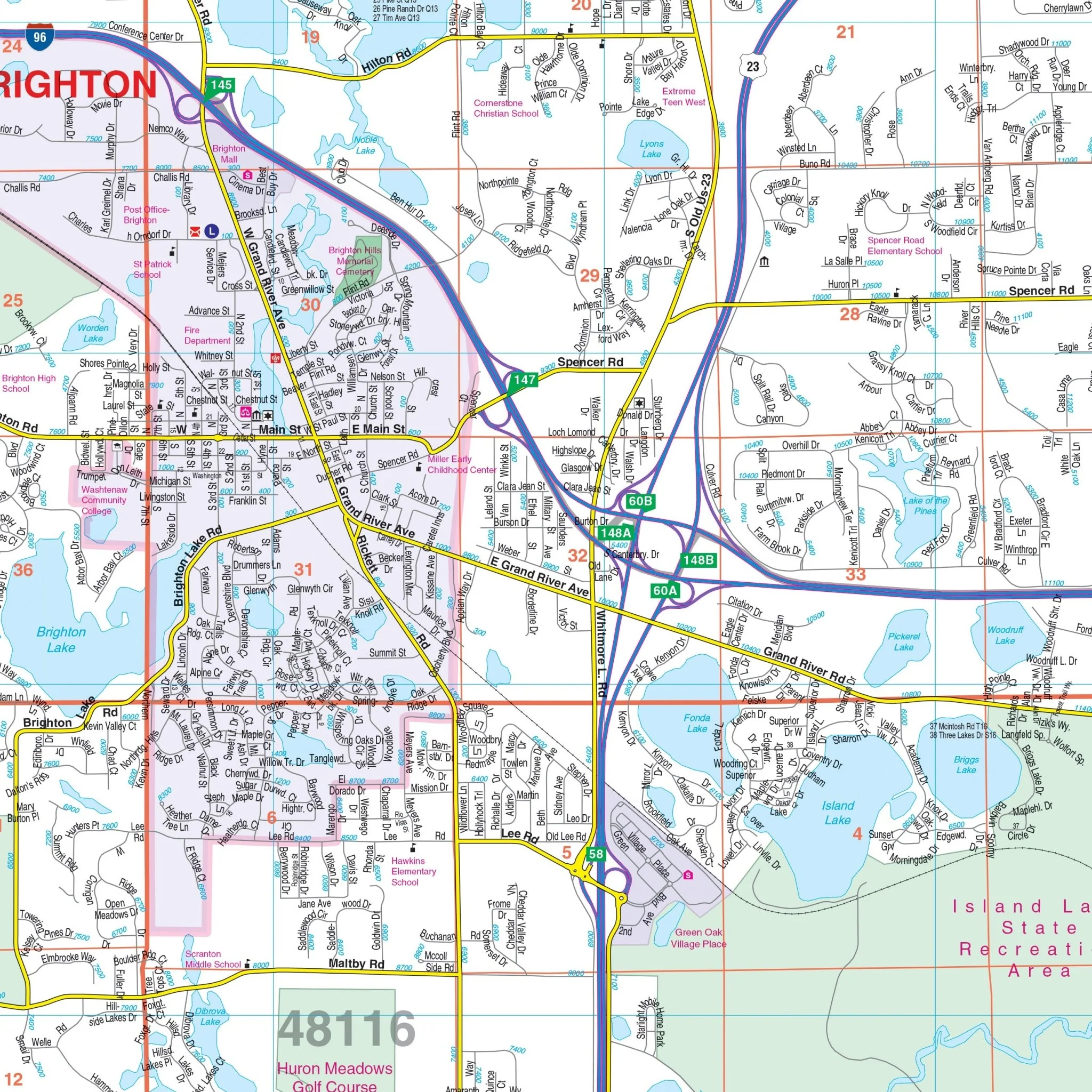
The Livingston County, MI Wall Map, with adjacent areas, provides complete street detail and includes a street index printed on the map.
The coverage area encompasses all of Livingston County, with boundaries extending:
- North to the Shiawassee and Genesee County lines
- South to the Washtenaw County line
- East to the Oakland County line
- West to the Ingham County line
The map features various details and points of interest, including airports, block numbers, cemeteries, color-coded city limits, educational institutions, fire and police stations, golf and country clubs, government buildings, hospitals, libraries, points of interest, post offices, railroads, recreational parks, section, township, and range lines, shopping centers, streets and highways, township names and boundaries, water features, and ZIP code boundaries.
Size: 72" x 52"
Published: 2014
Original: $149.99
-70%$149.99
$45.00Product Information
Product Information
Shipping & Returns
Shipping & Returns
Description
The Livingston County, MI Wall Map, with adjacent areas, provides complete street detail and includes a street index printed on the map.
The coverage area encompasses all of Livingston County, with boundaries extending:
- North to the Shiawassee and Genesee County lines
- South to the Washtenaw County line
- East to the Oakland County line
- West to the Ingham County line
The map features various details and points of interest, including airports, block numbers, cemeteries, color-coded city limits, educational institutions, fire and police stations, golf and country clubs, government buildings, hospitals, libraries, points of interest, post offices, railroads, recreational parks, section, township, and range lines, shopping centers, streets and highways, township names and boundaries, water features, and ZIP code boundaries.
Size: 72" x 52"
Published: 2014