


Manhattan, NY Wall Map
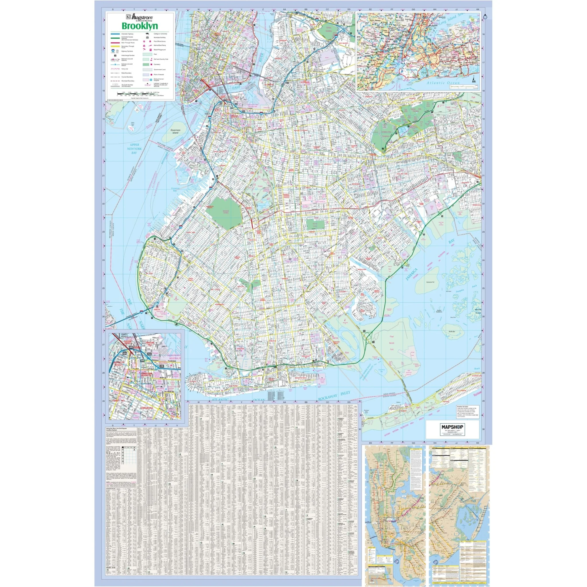
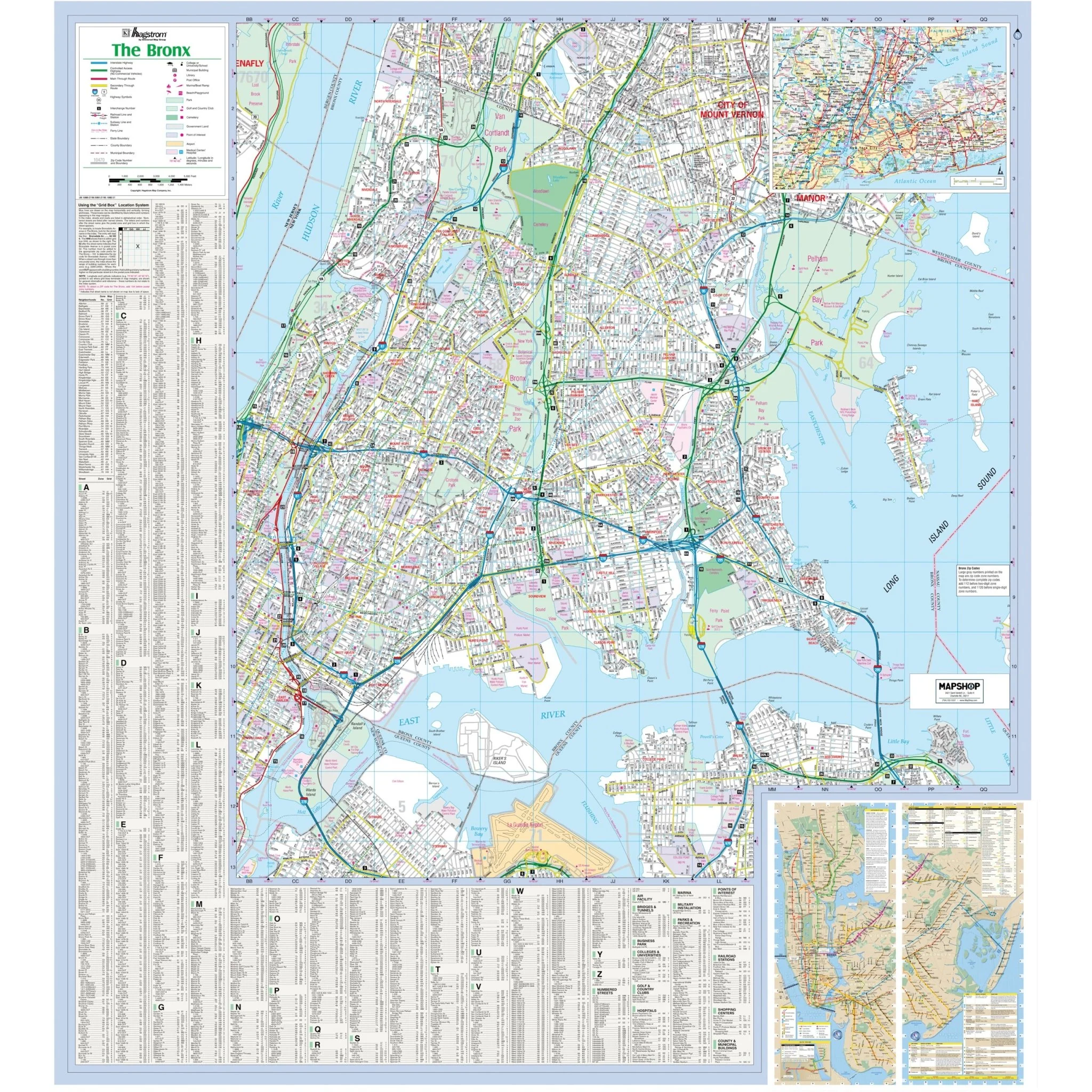
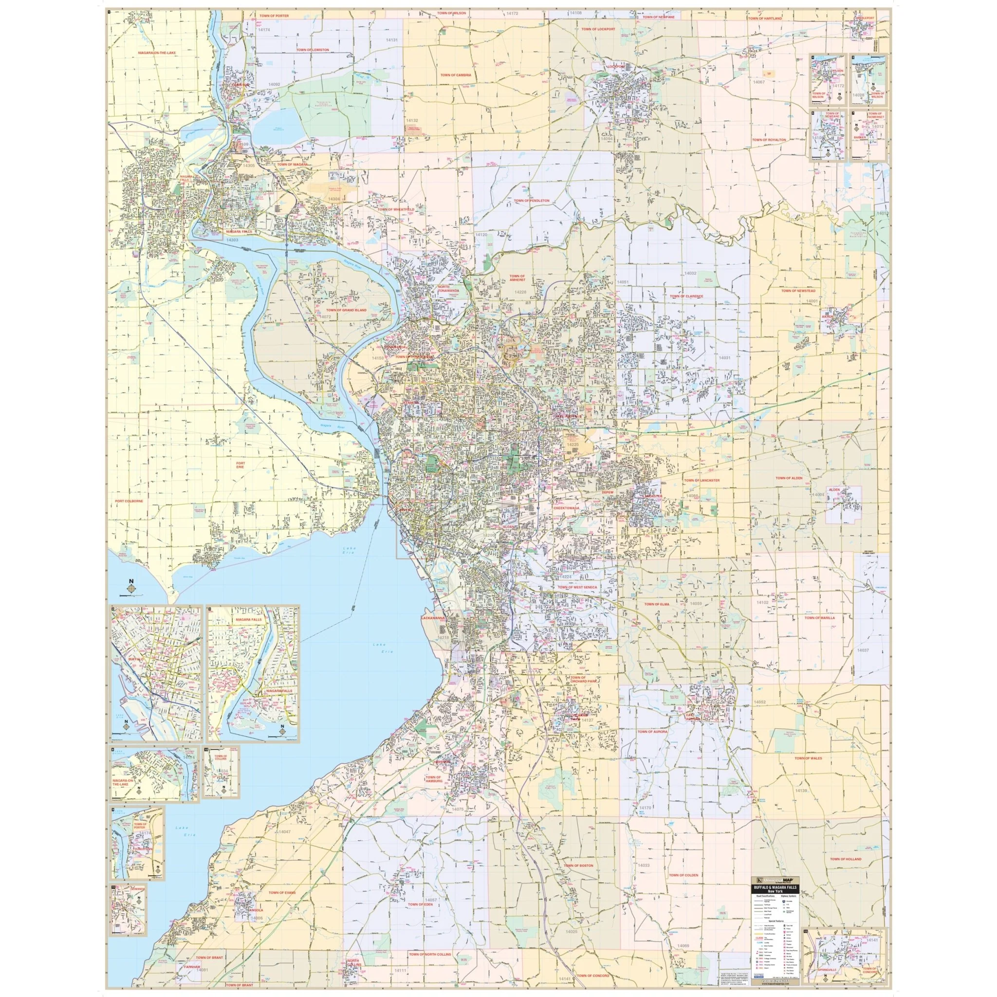
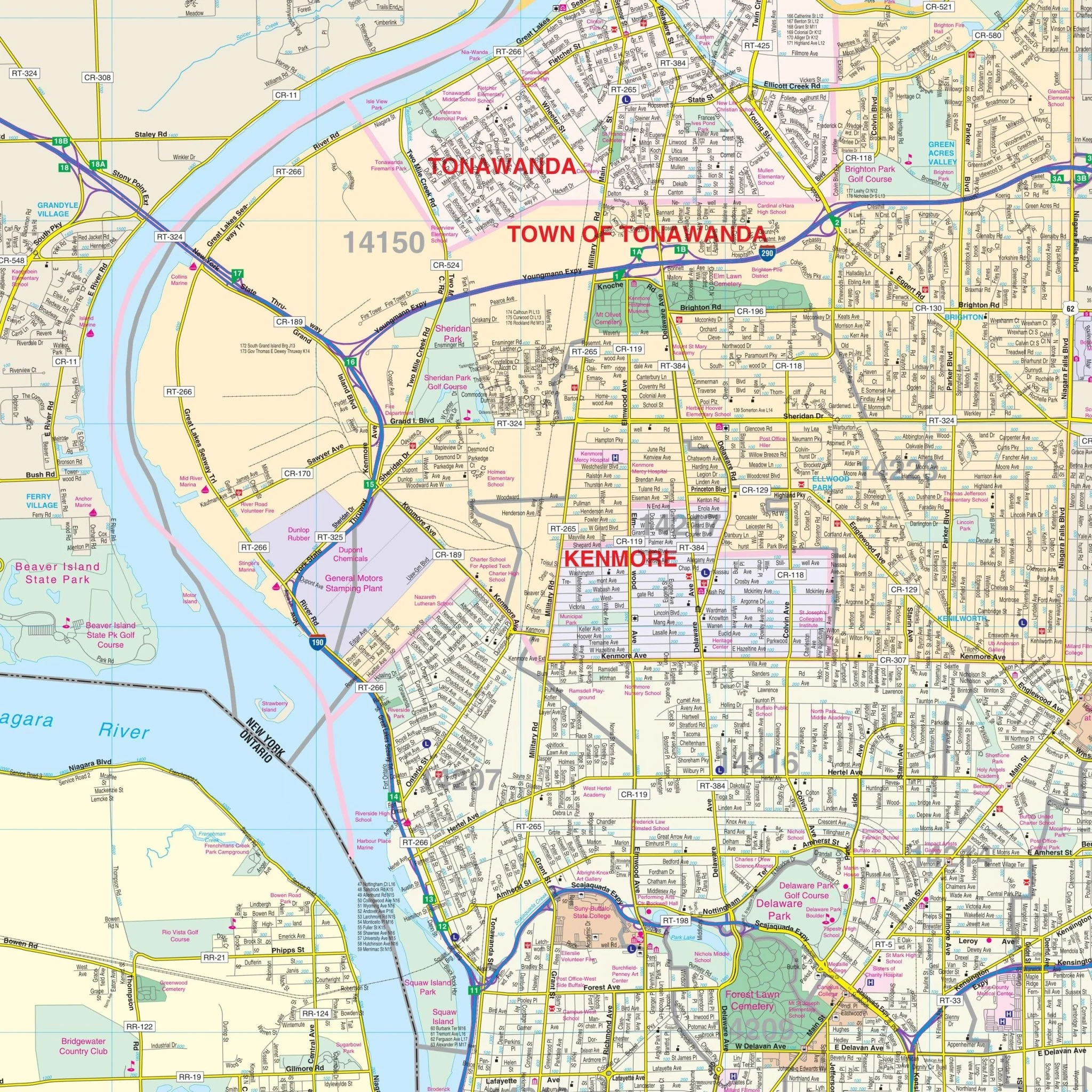
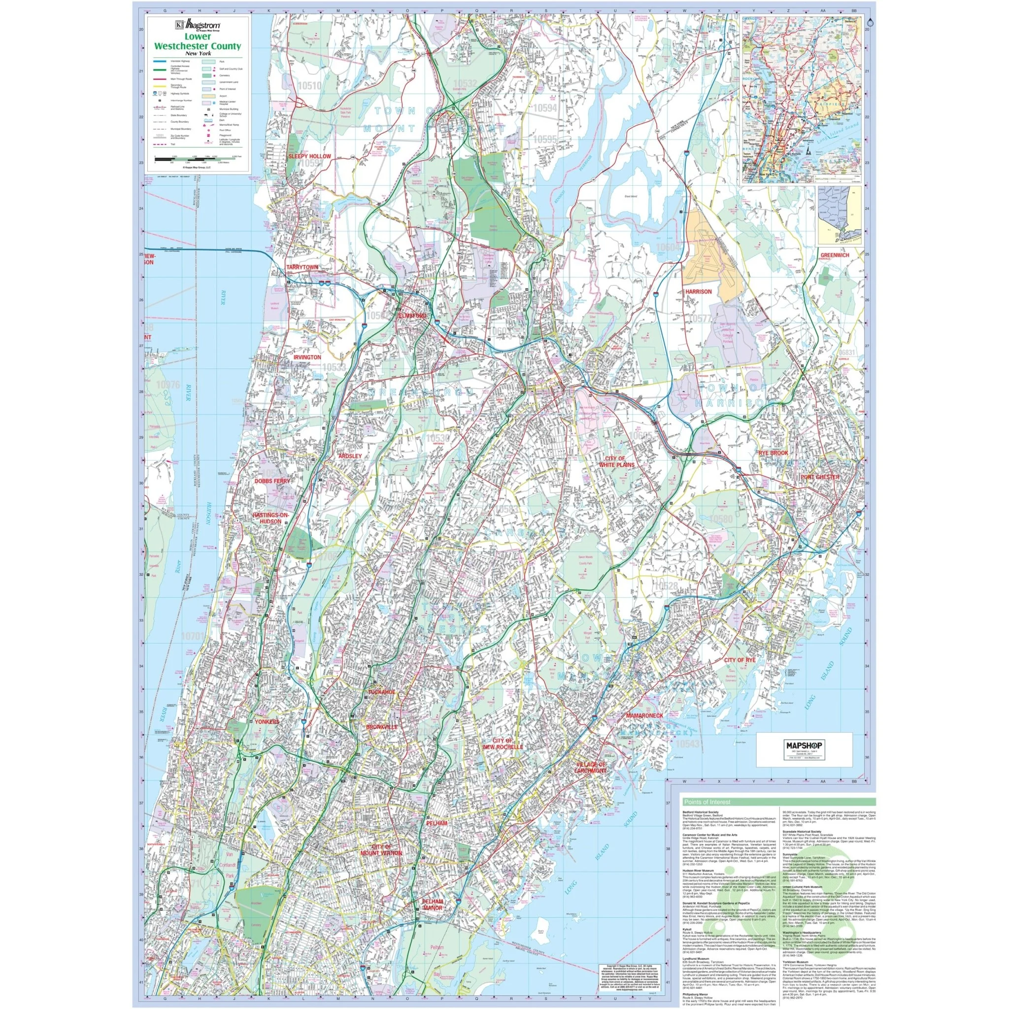
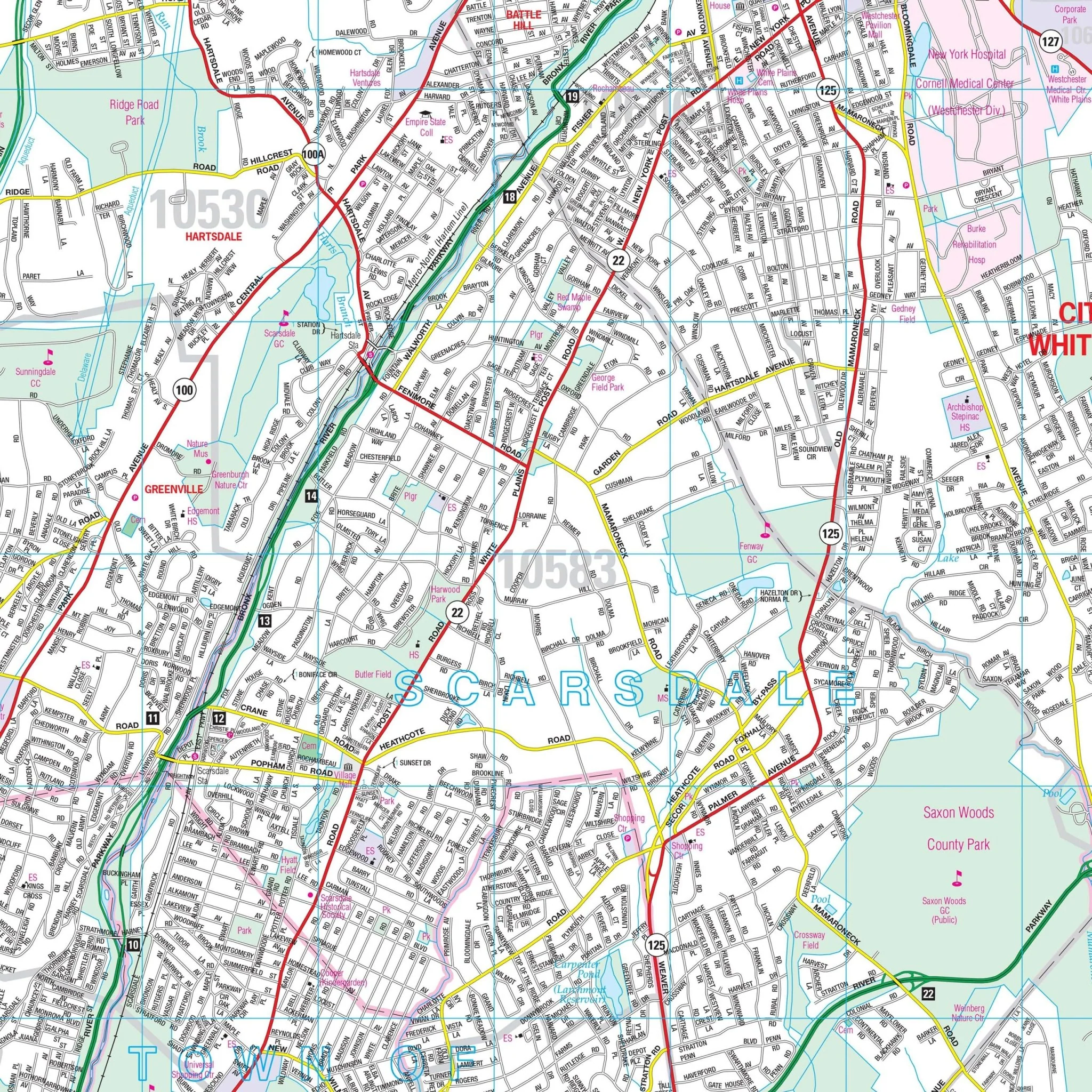
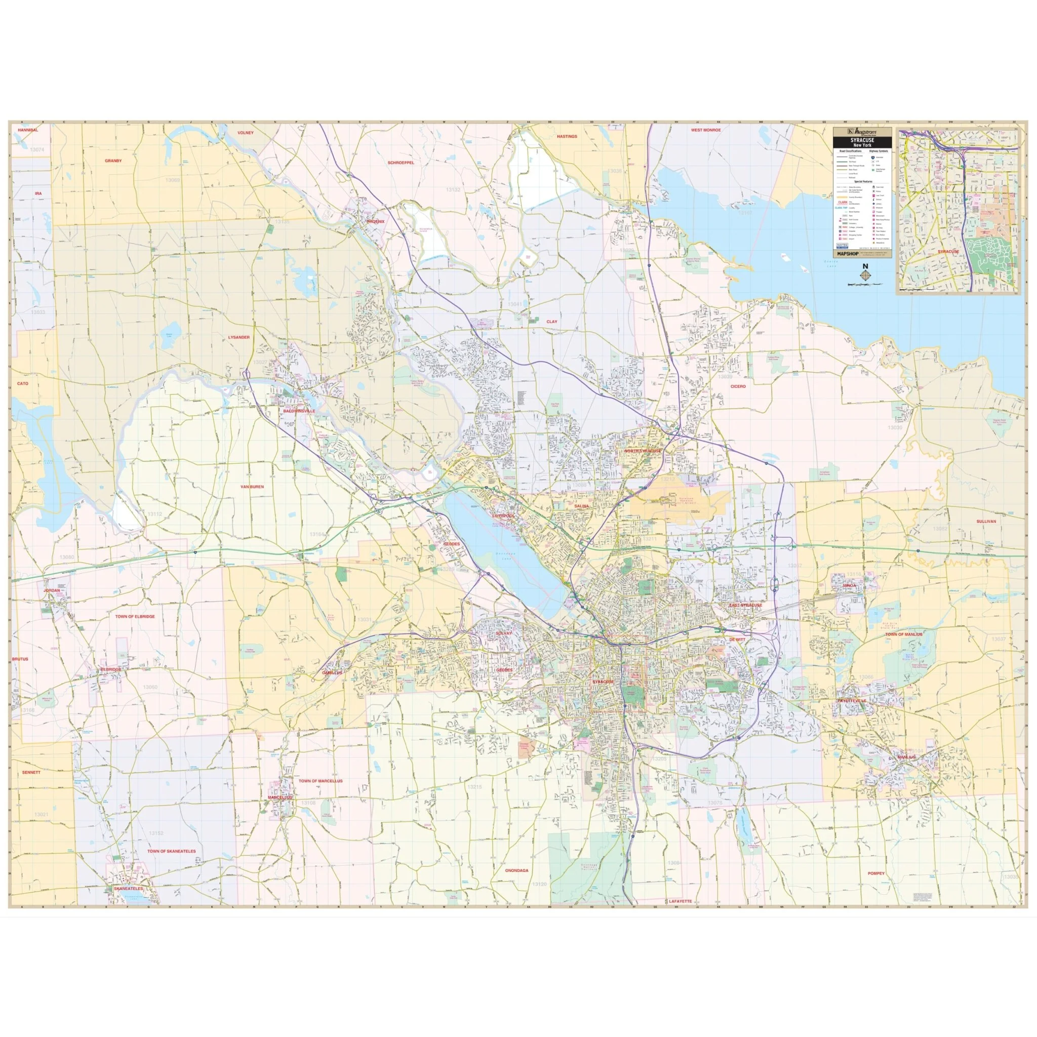
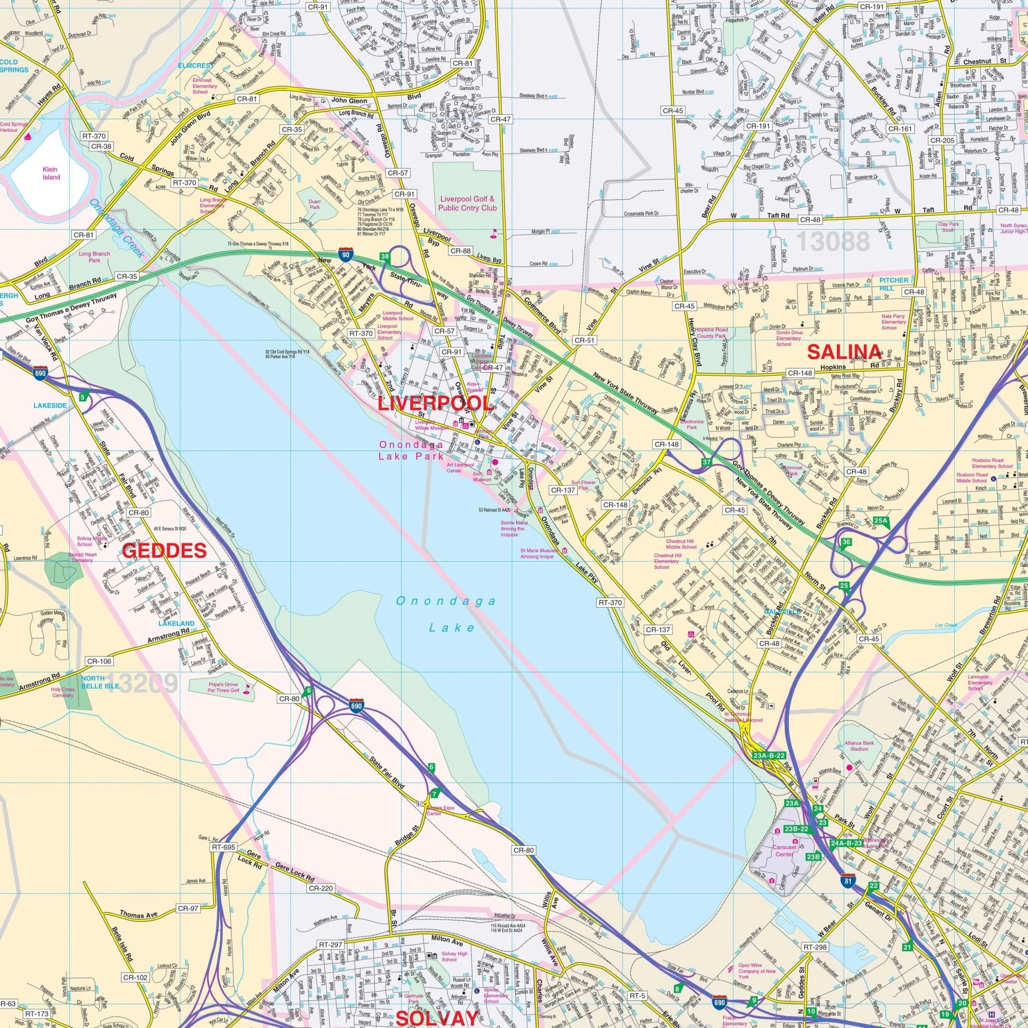
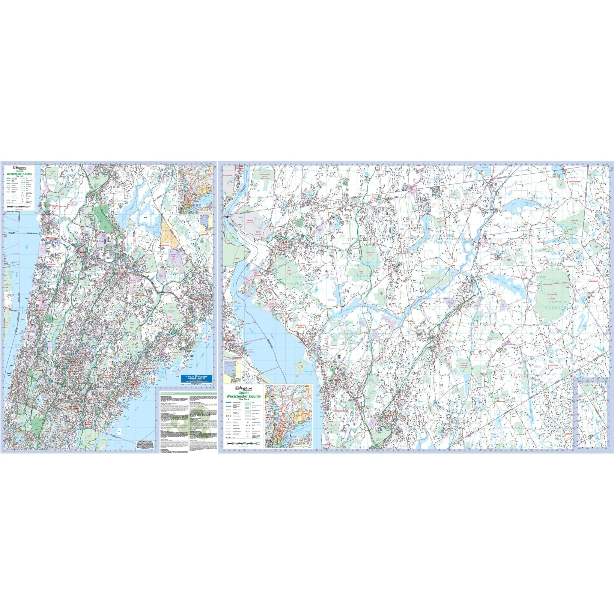
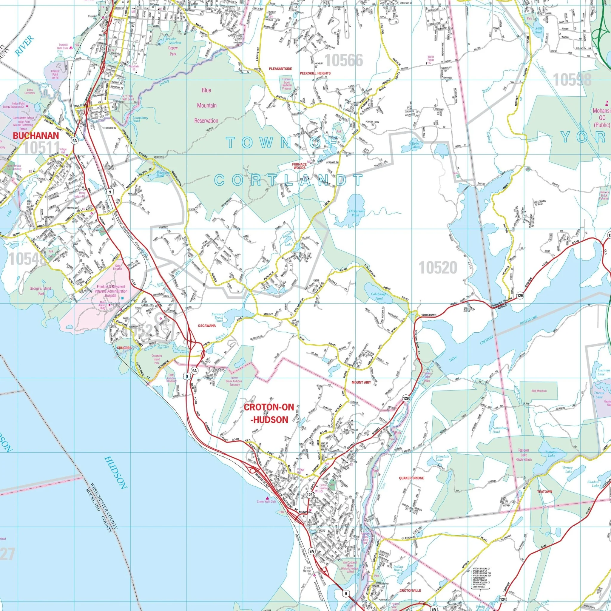
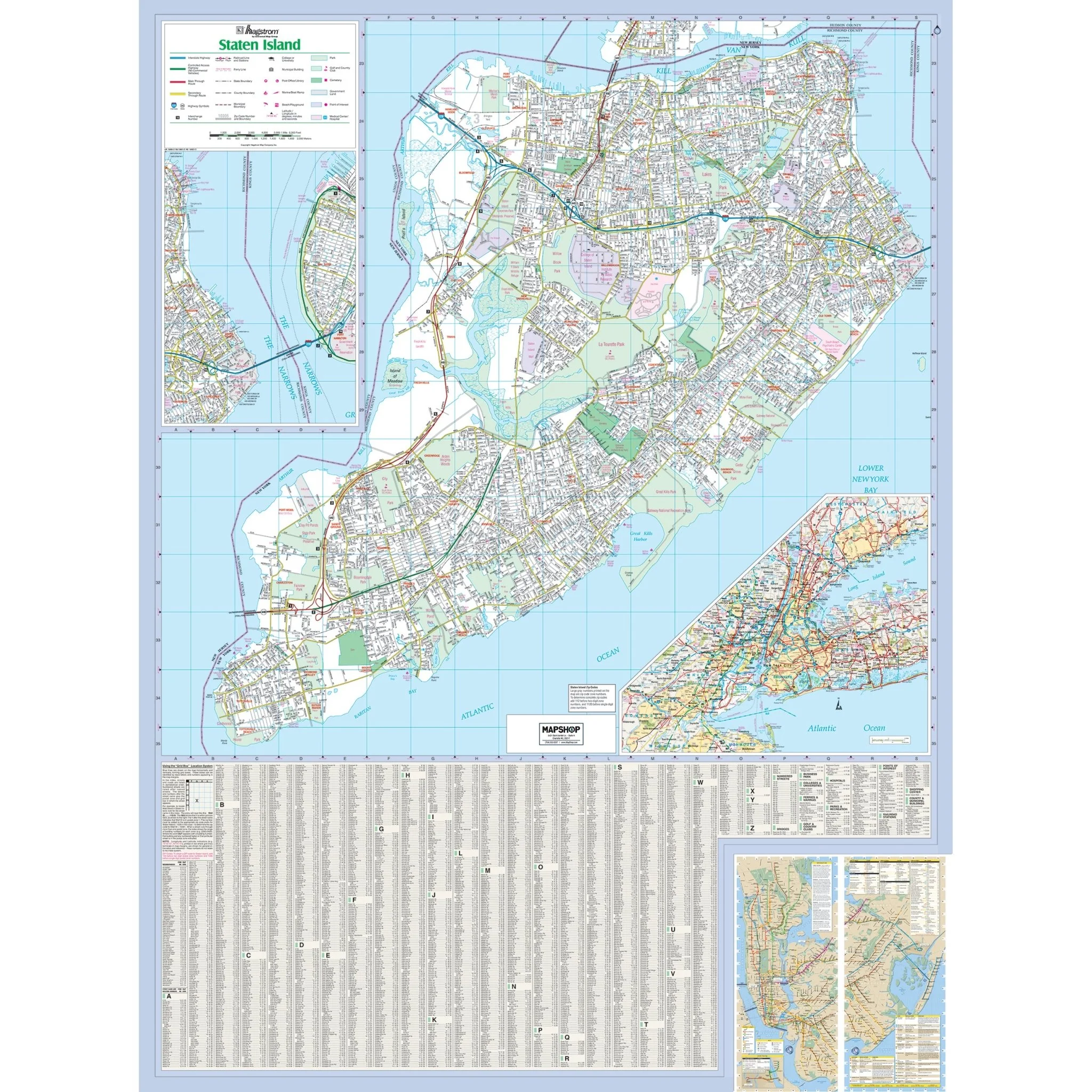
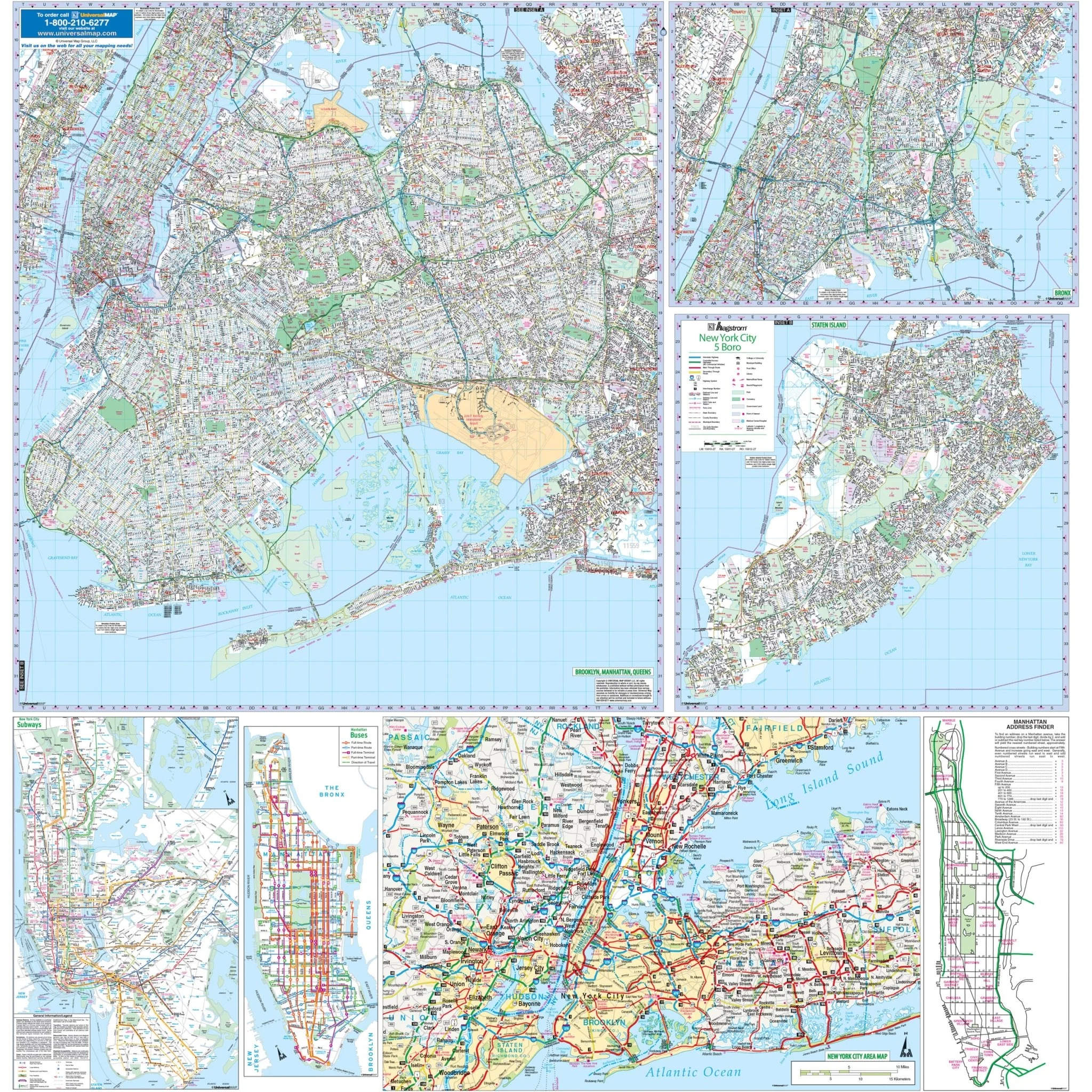
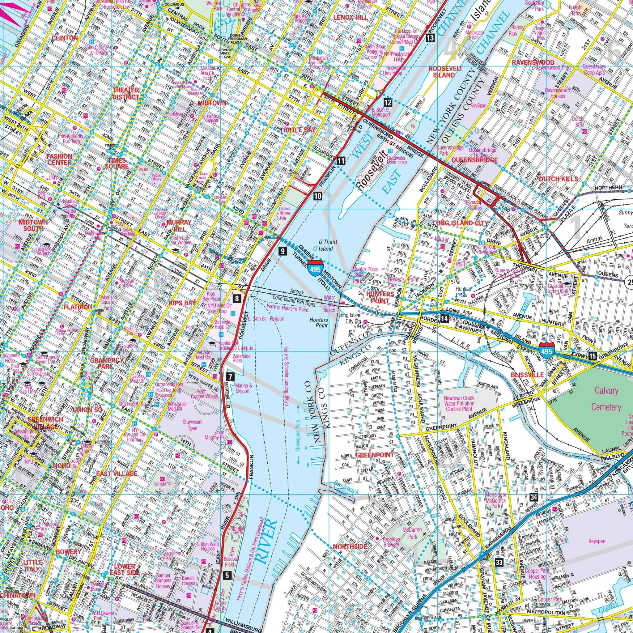
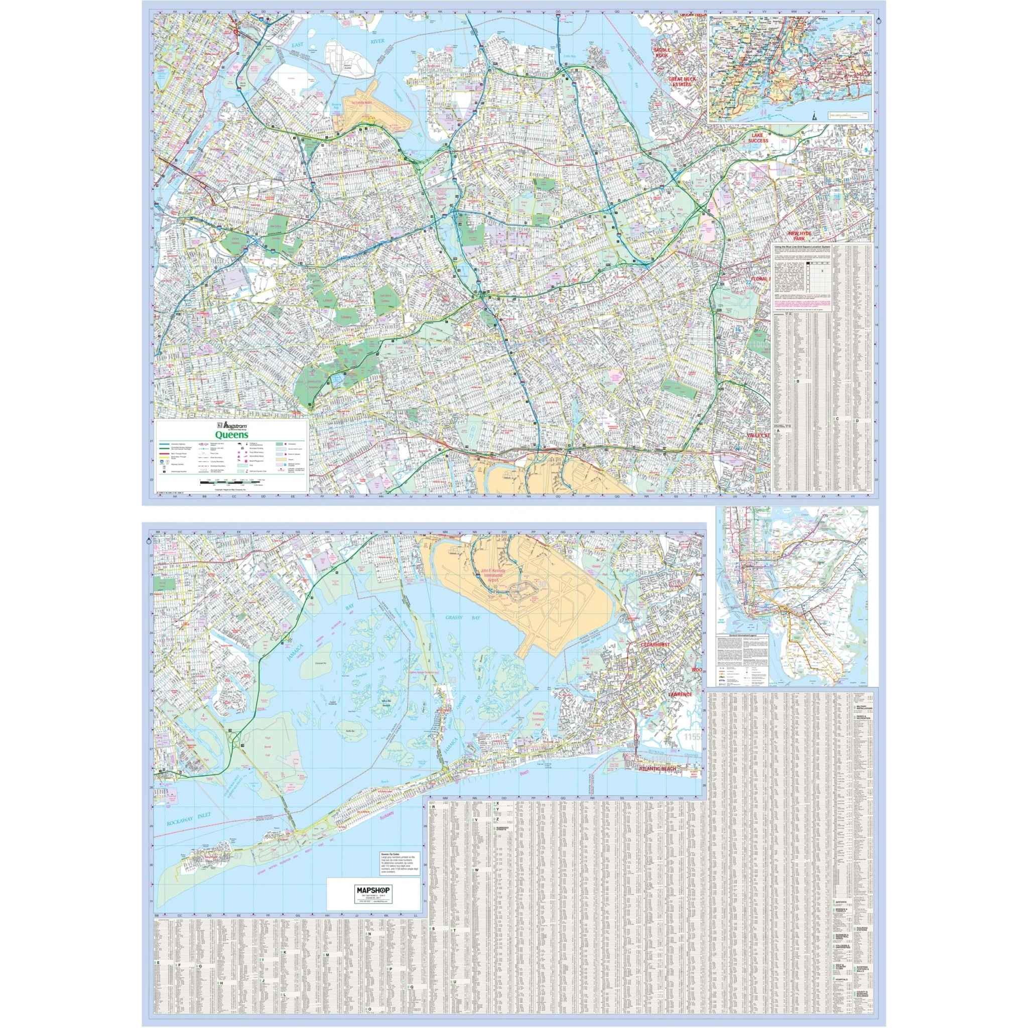
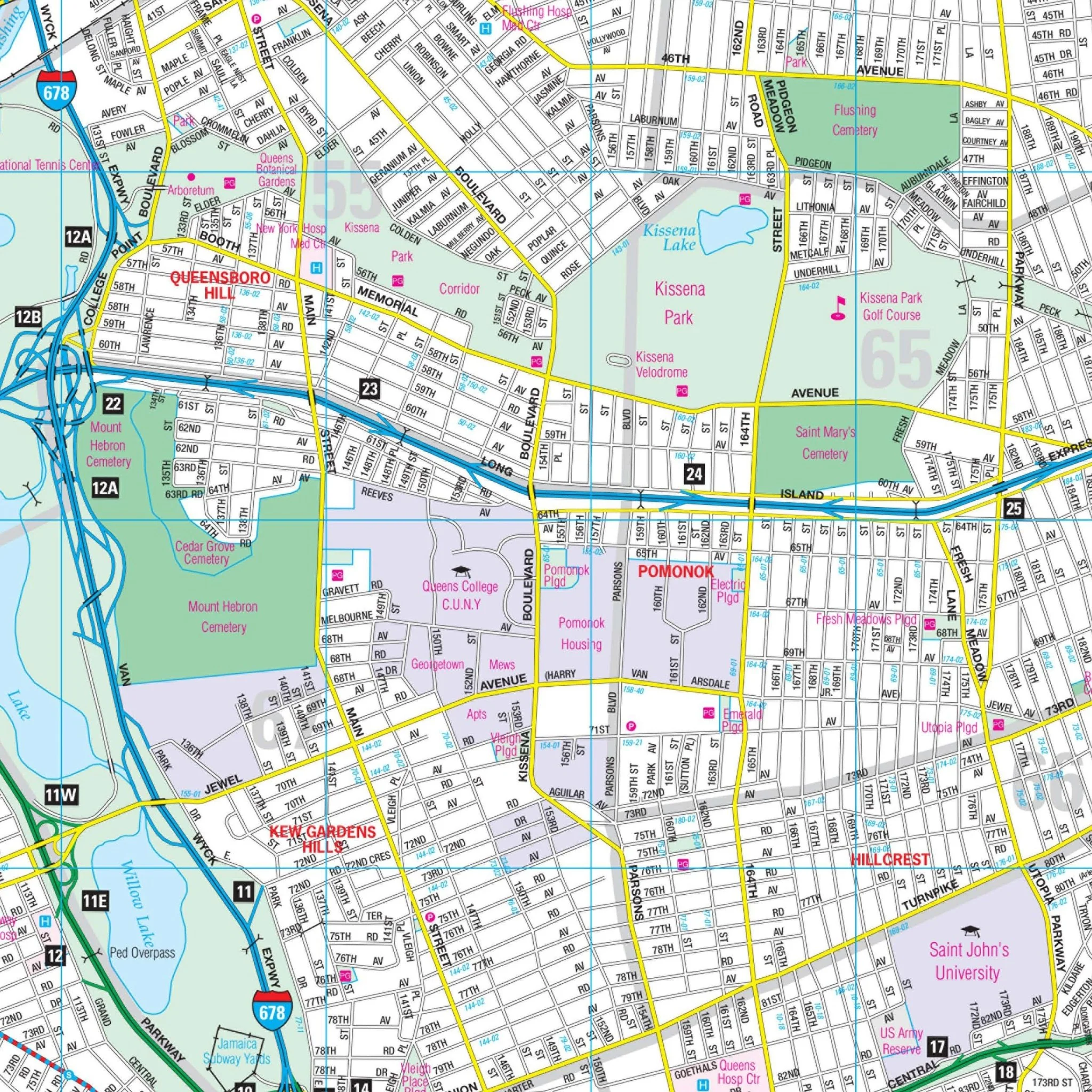
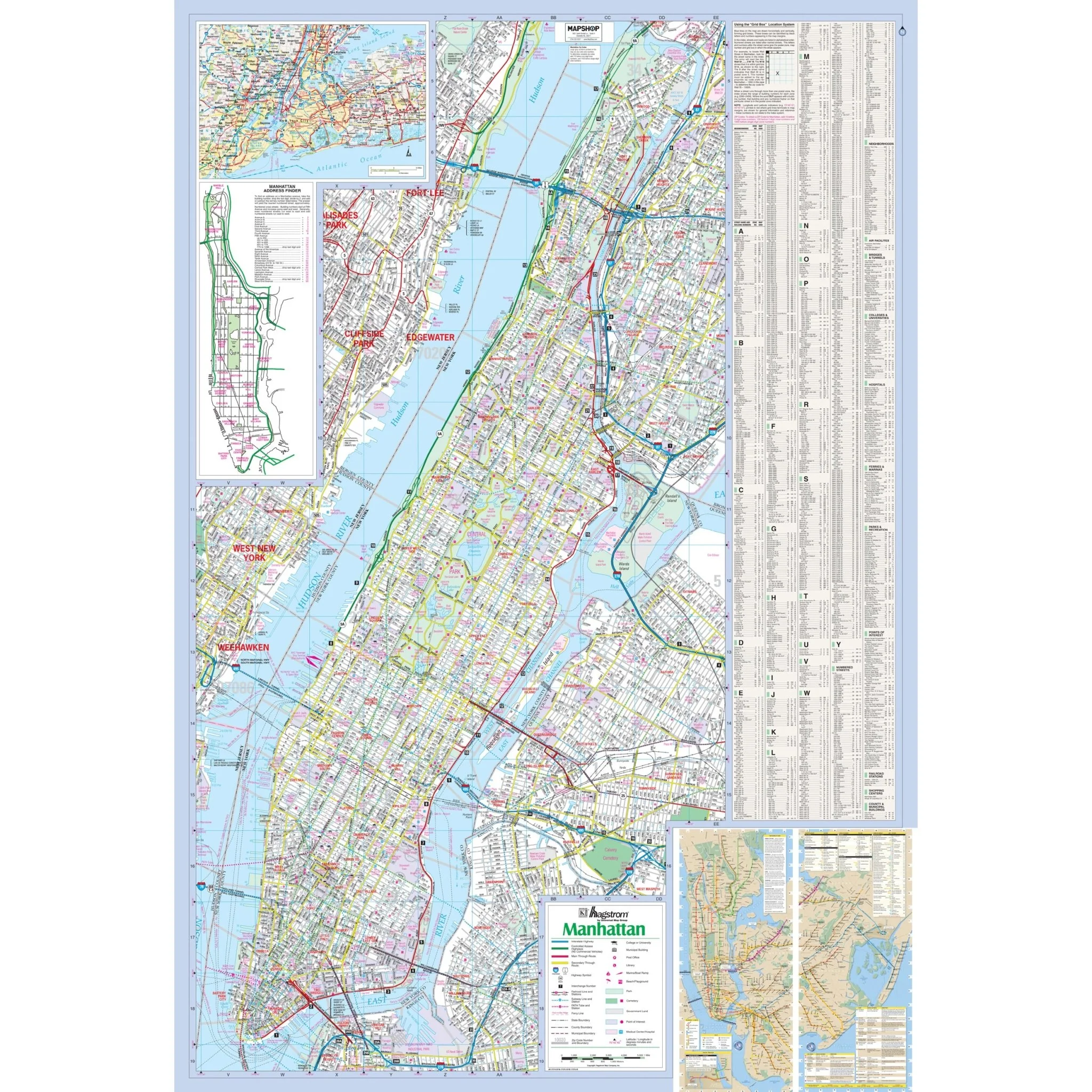
The Manhattan (NYC), NY Wall Map, available from UniversalMAP, is a high-quality map by Hagstrom that covers the New York City borough of Manhattan. This map features streets indexed on the face of the map. Areas of Coverage include:
- The New York City borough of Manhattan
- Area map of Tri-State Area
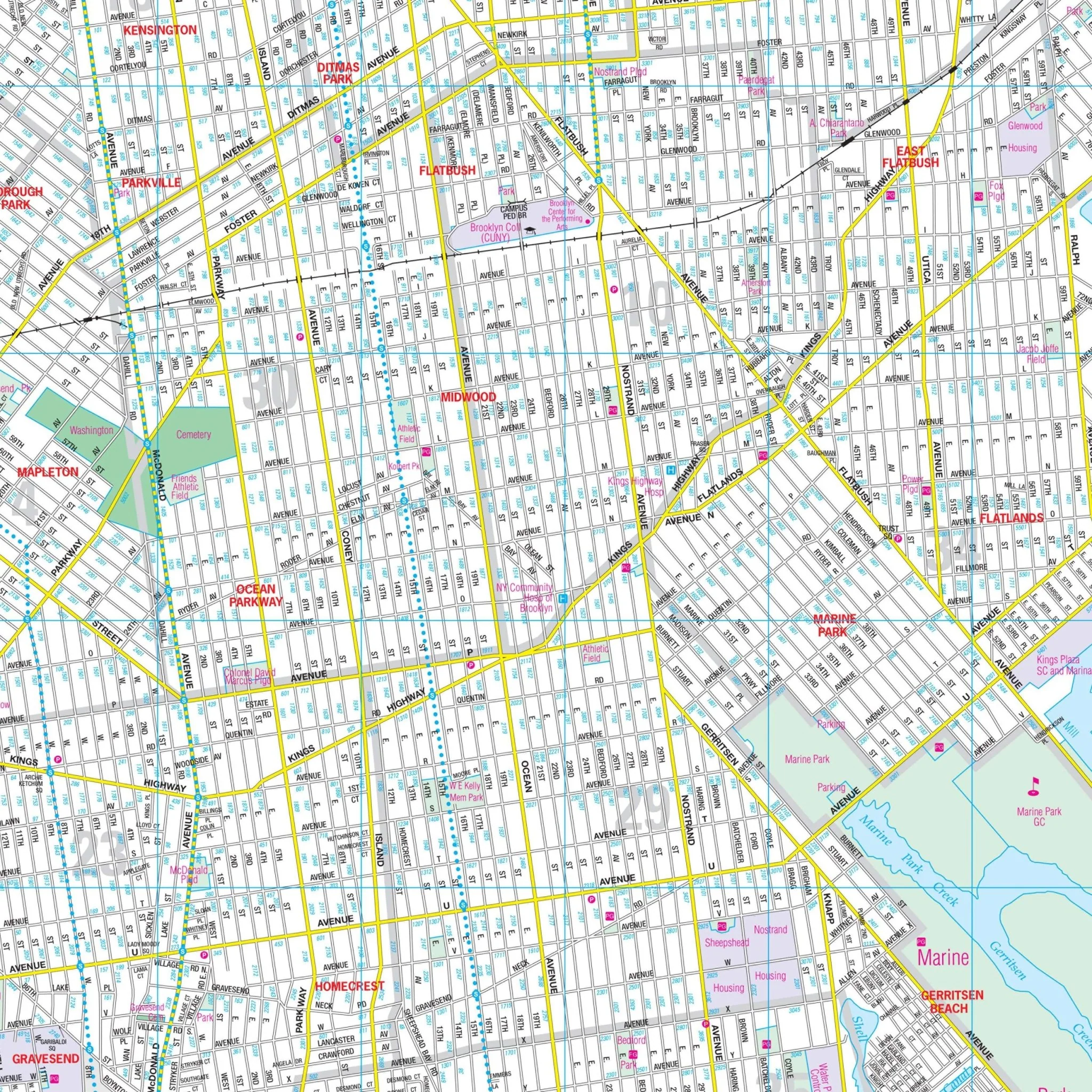
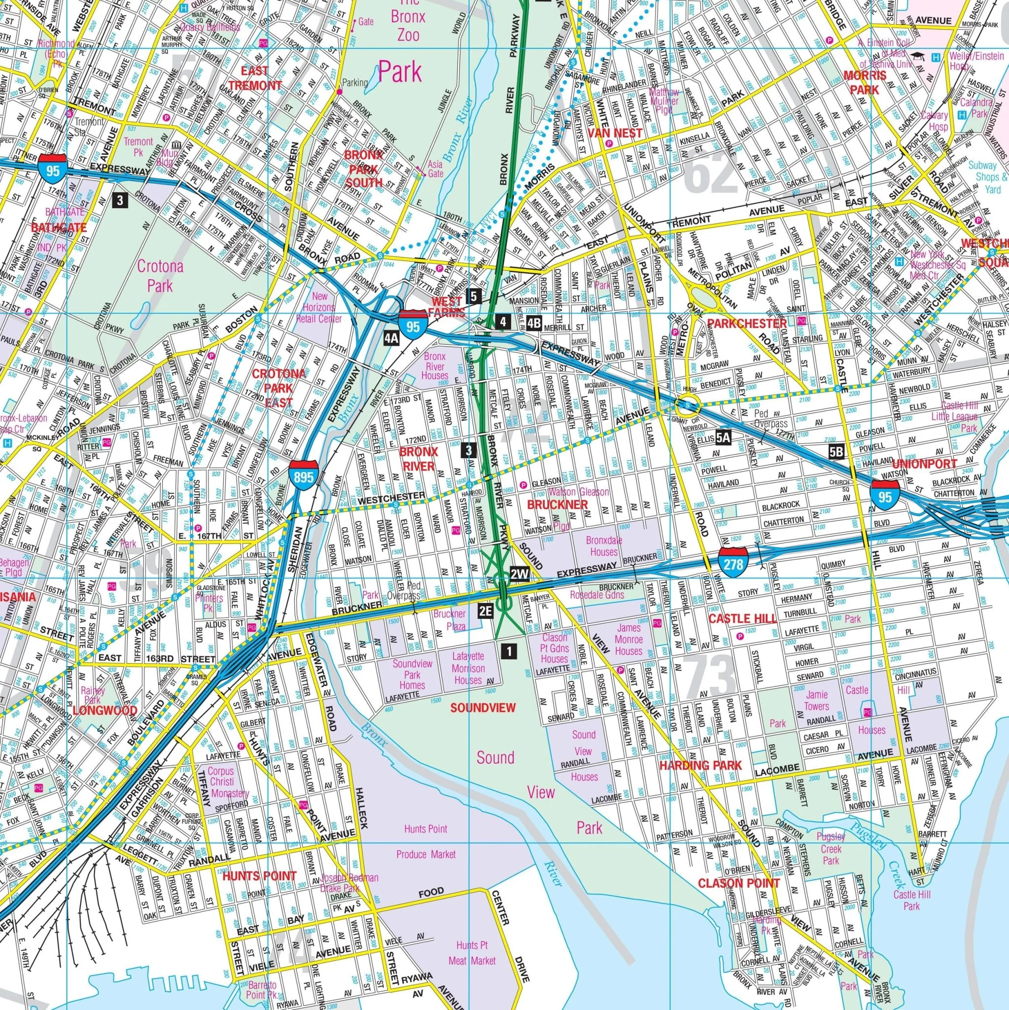
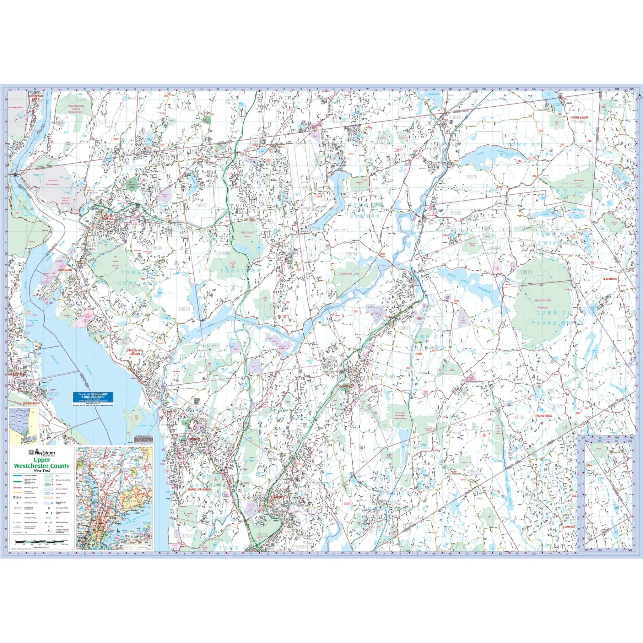
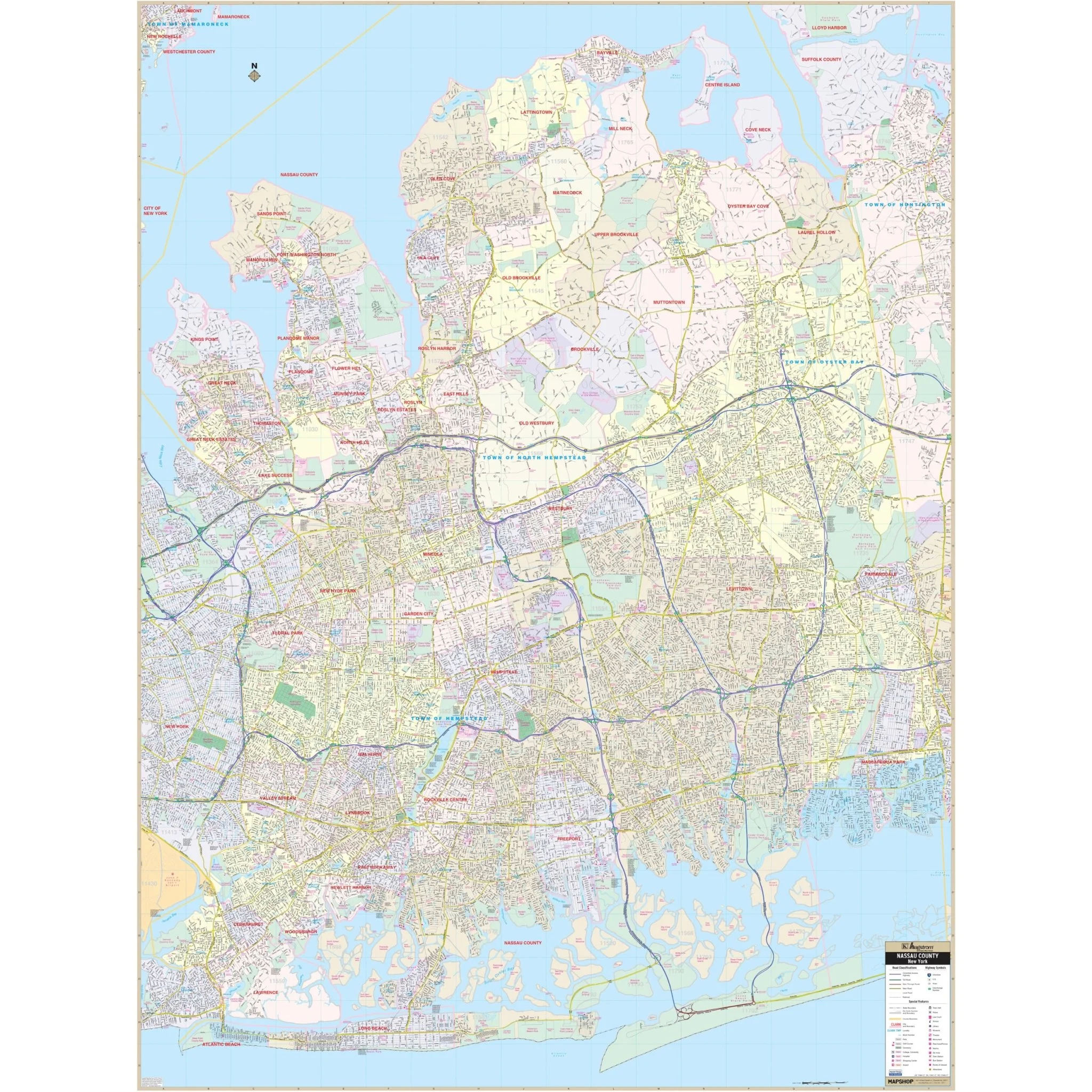
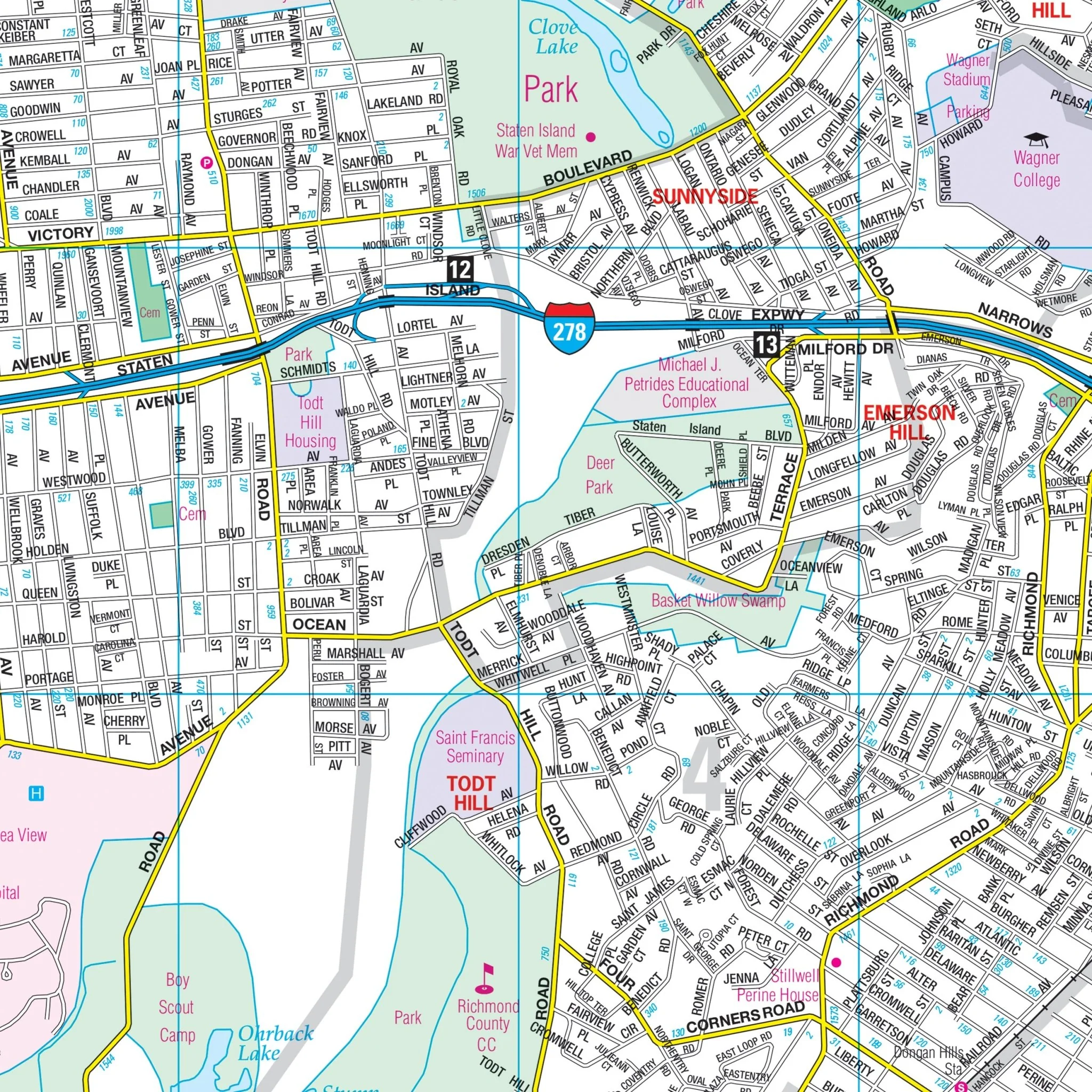
The map also includes an NYC Subway Transit System Inset. Details featured on the map include all streets, state & county highways, interstate highways, airports, subway & railroad lines, cemeteries, neighborhood names, schools, parks & golf courses, points of interest, post offices, hospitals, ZIP codes & boundaries, block numbers, and longitude & latitude coordinates.
Size: 48" x 70.5"
Published: 2011
Original: $149.99
-70%$149.99
$45.00Product Information
Product Information
Shipping & Returns
Shipping & Returns
Description
The Manhattan (NYC), NY Wall Map, available from UniversalMAP, is a high-quality map by Hagstrom that covers the New York City borough of Manhattan. This map features streets indexed on the face of the map. Areas of Coverage include:
- The New York City borough of Manhattan
- Area map of Tri-State Area
The map also includes an NYC Subway Transit System Inset. Details featured on the map include all streets, state & county highways, interstate highways, airports, subway & railroad lines, cemeteries, neighborhood names, schools, parks & golf courses, points of interest, post offices, hospitals, ZIP codes & boundaries, block numbers, and longitude & latitude coordinates.
Size: 48" x 70.5"
Published: 2011