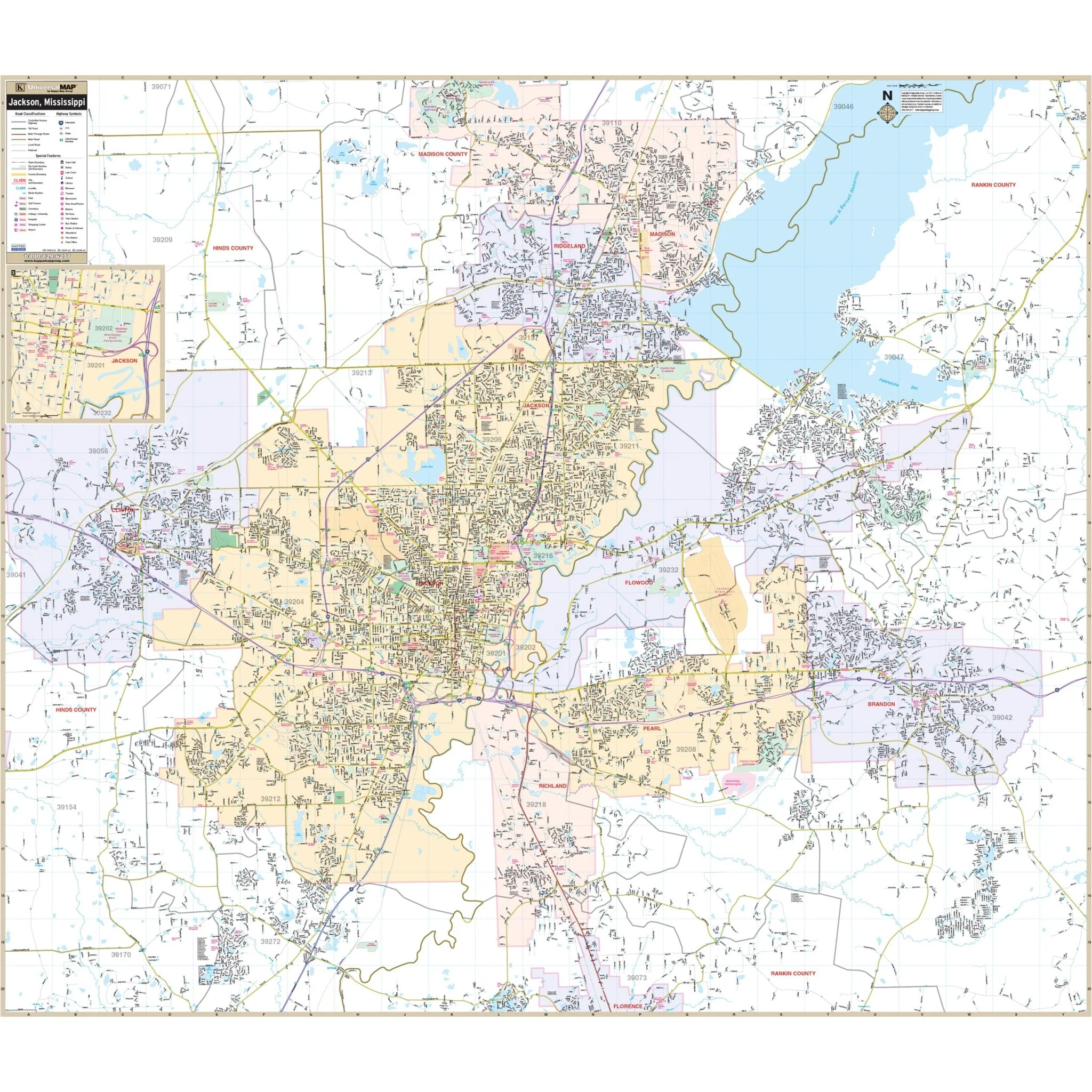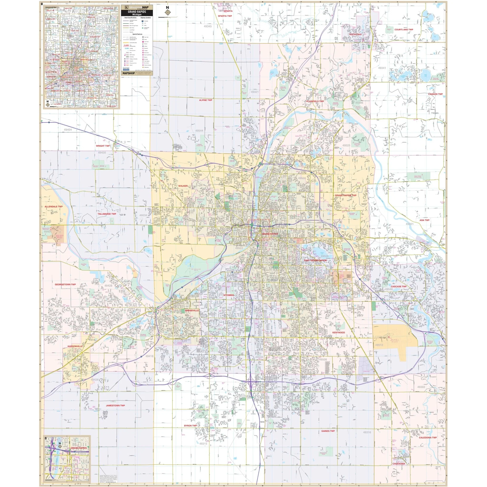


Michigan State Wall Map
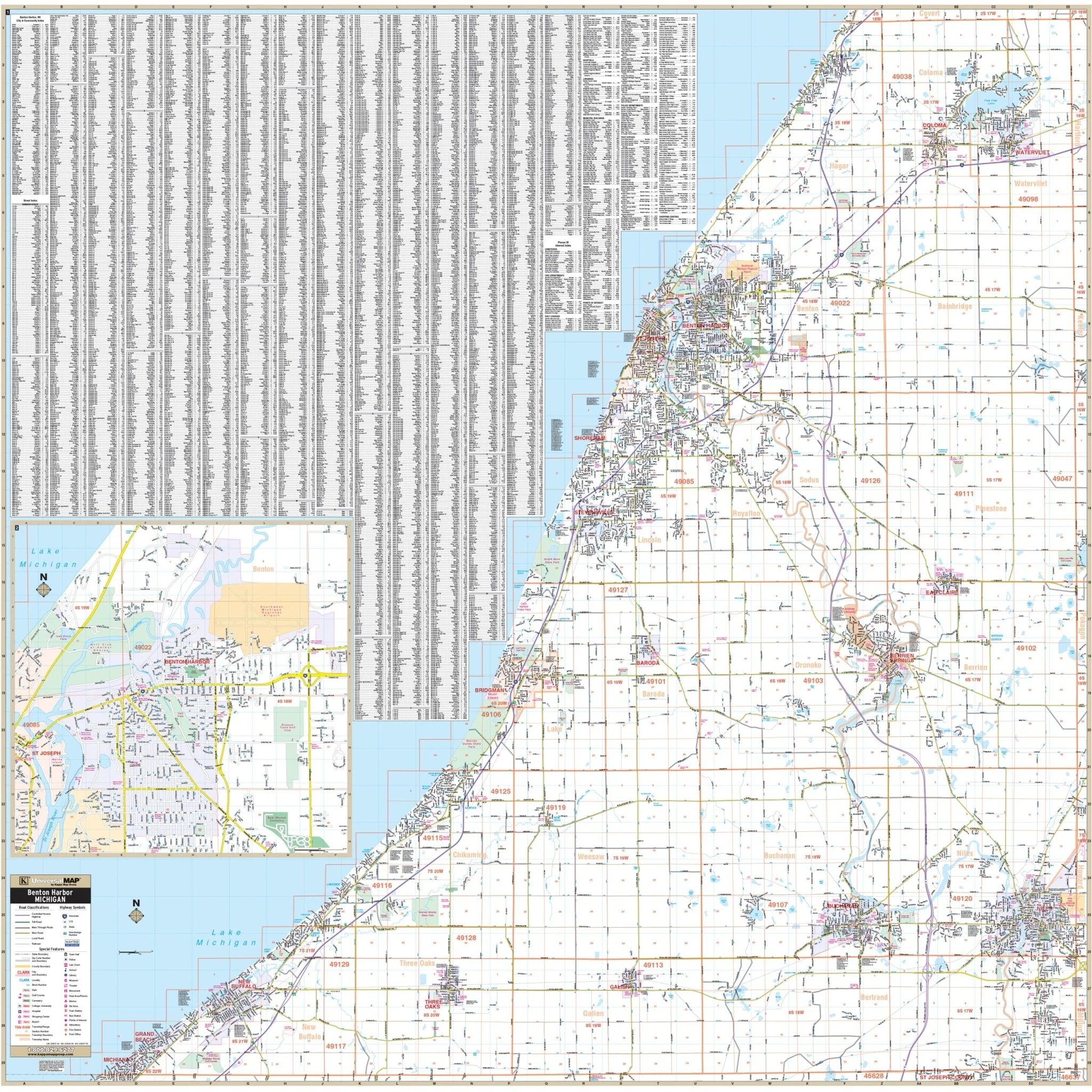
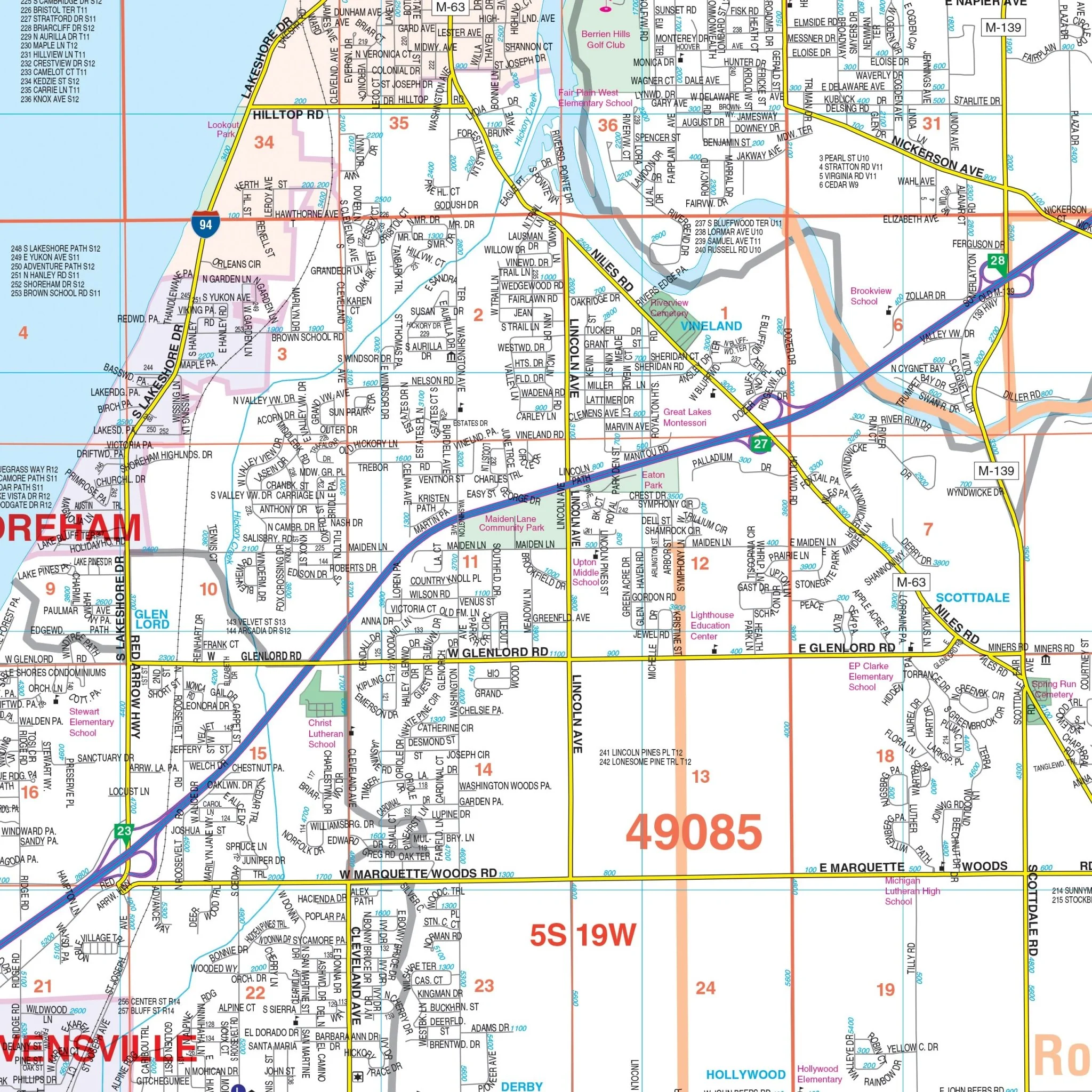
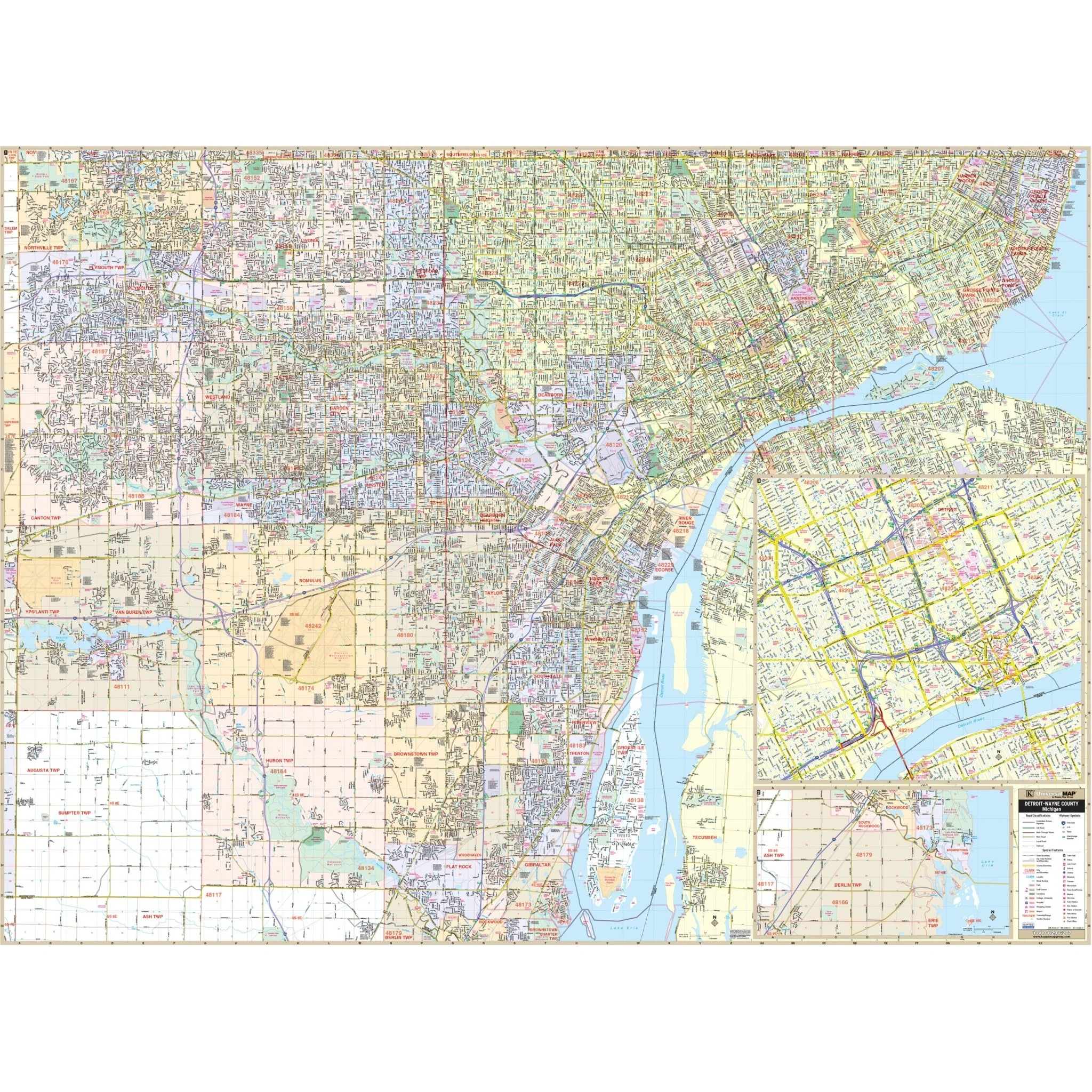
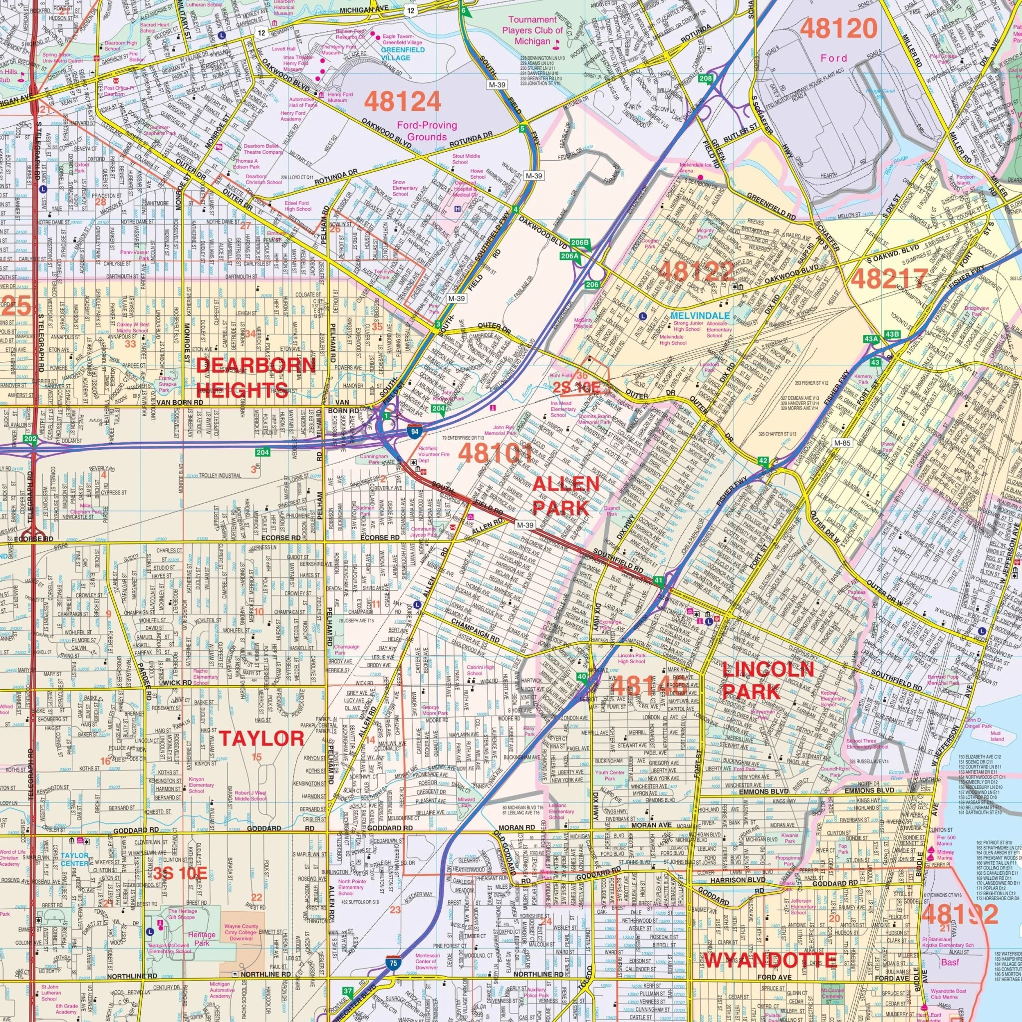
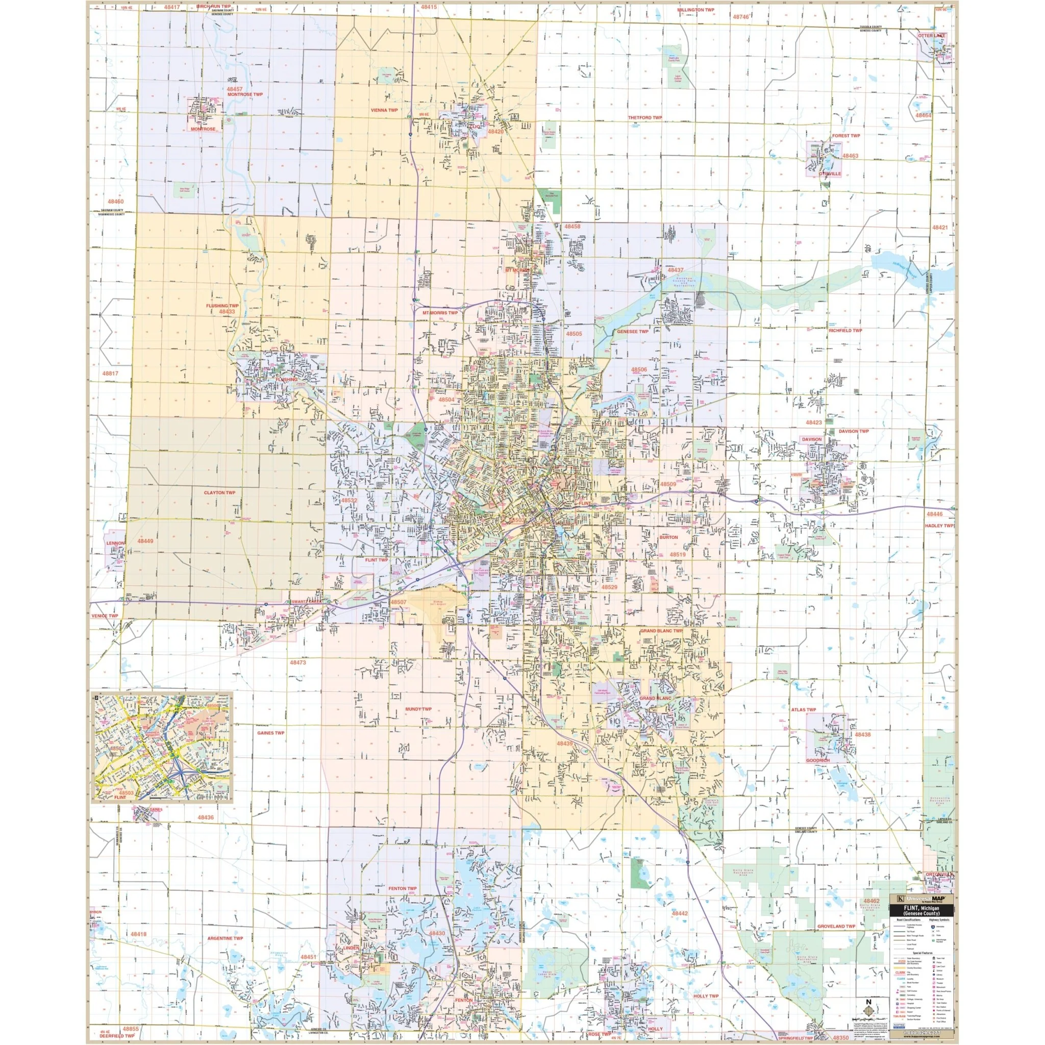
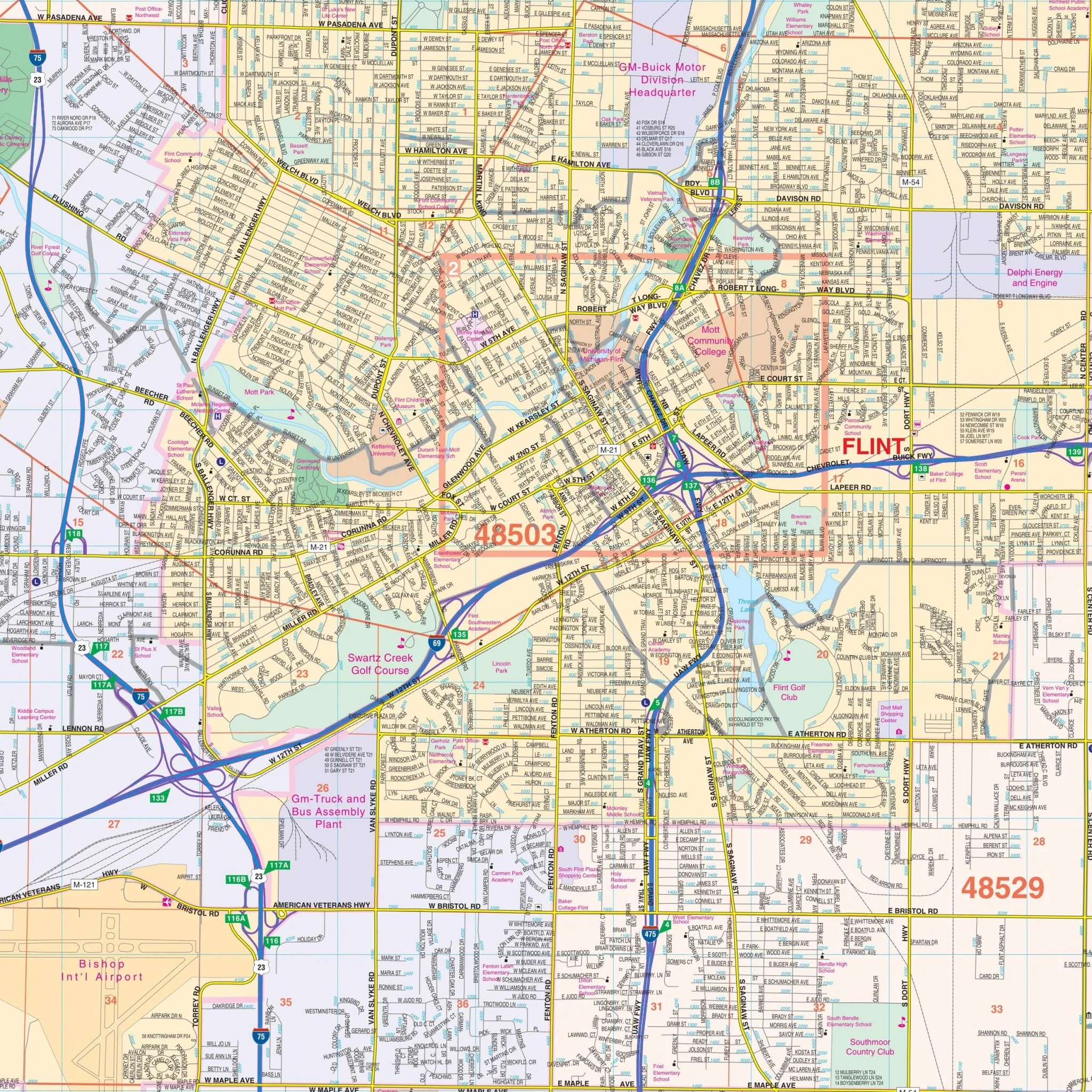
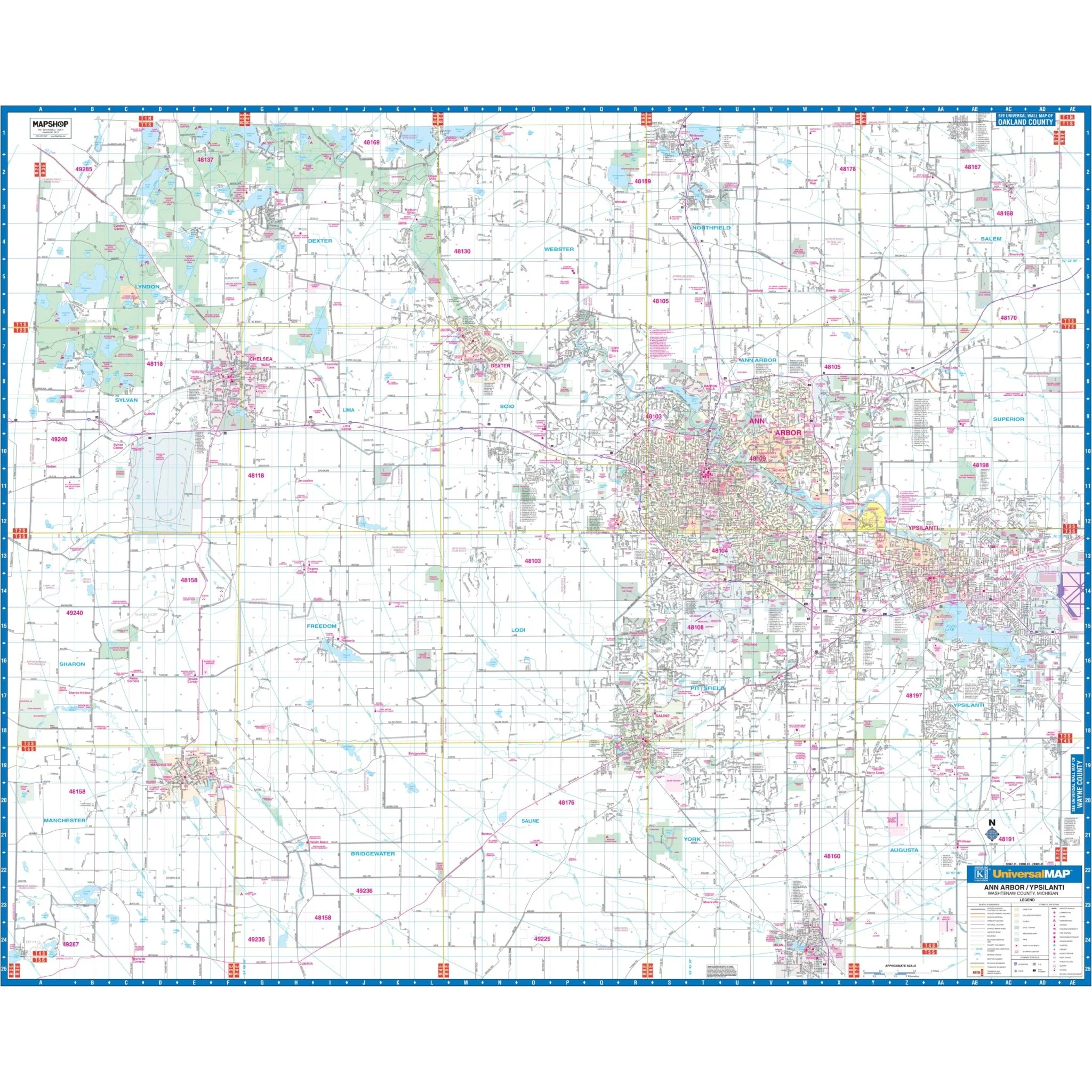
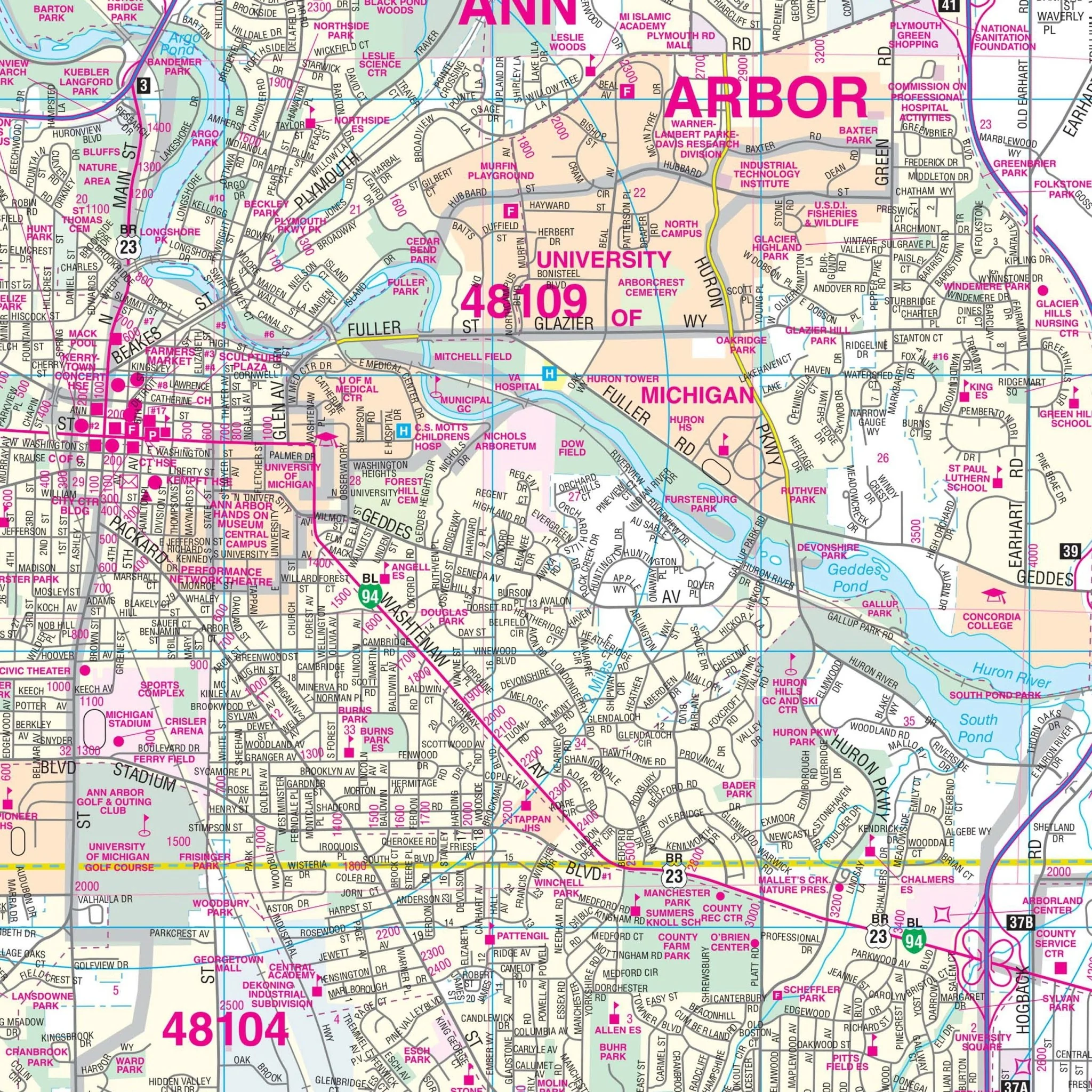
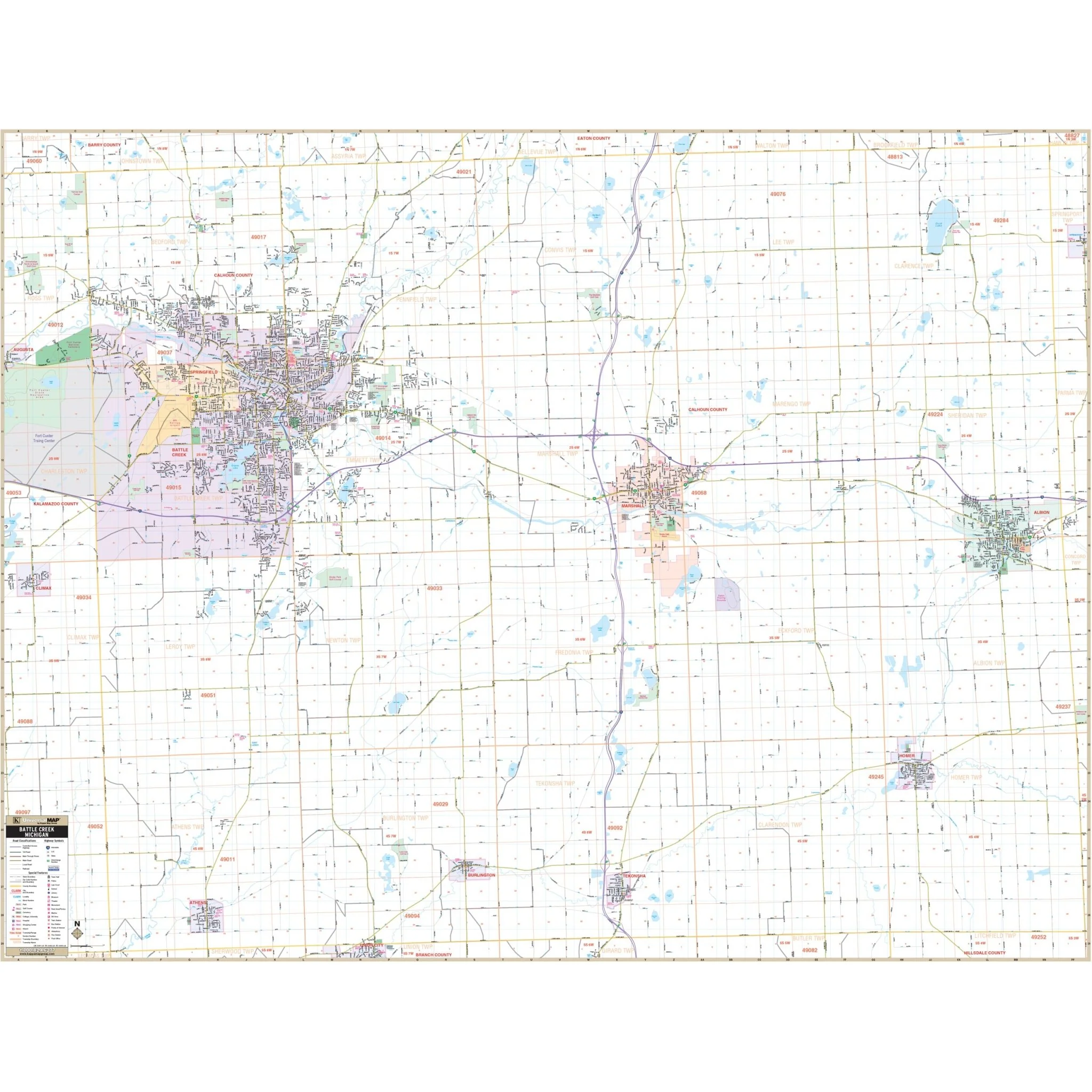
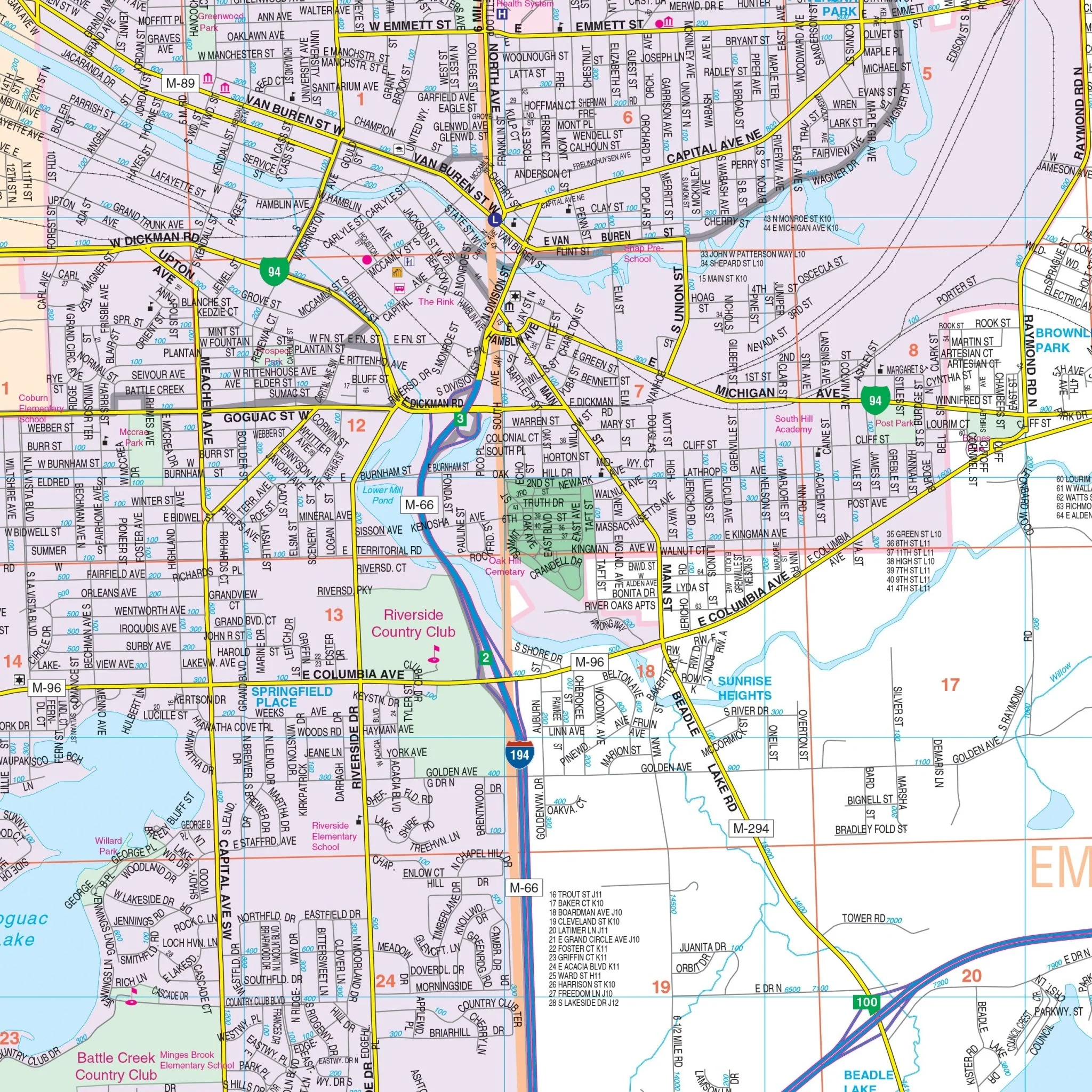
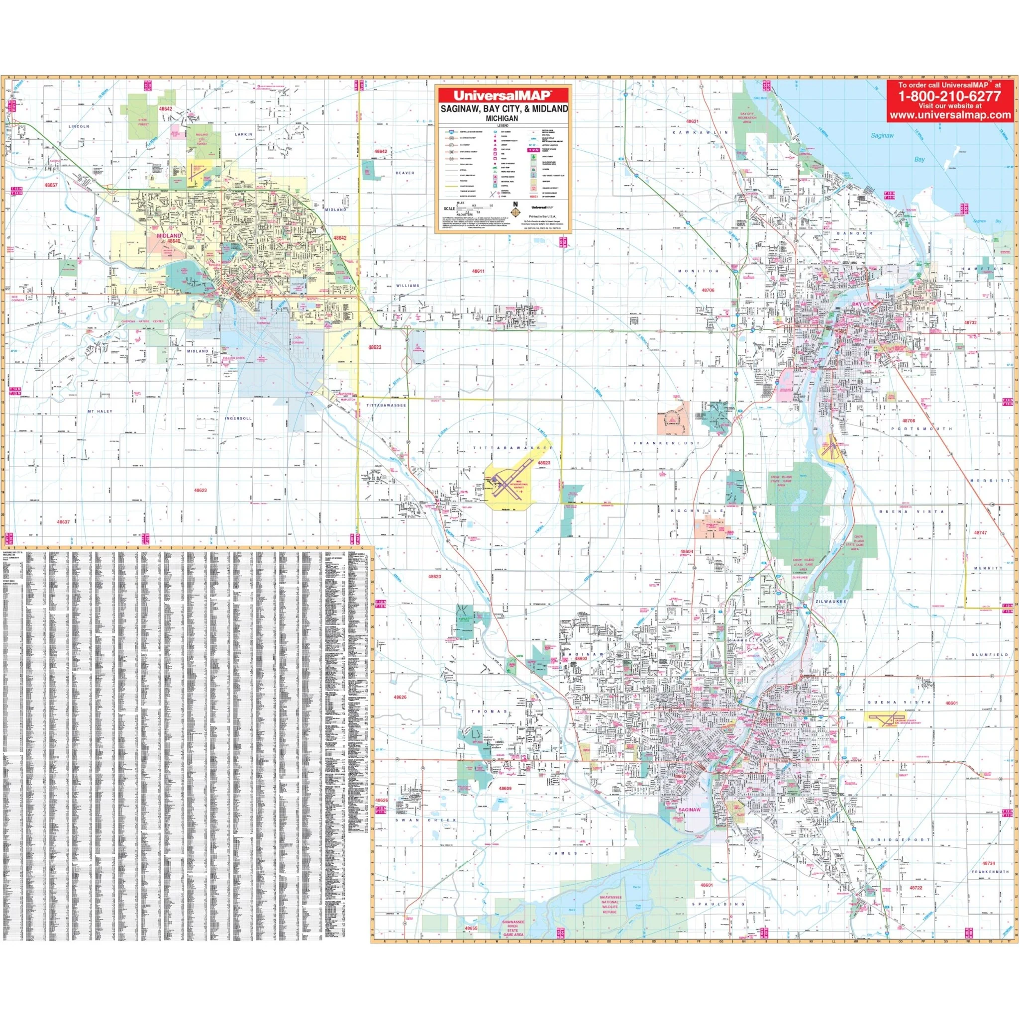
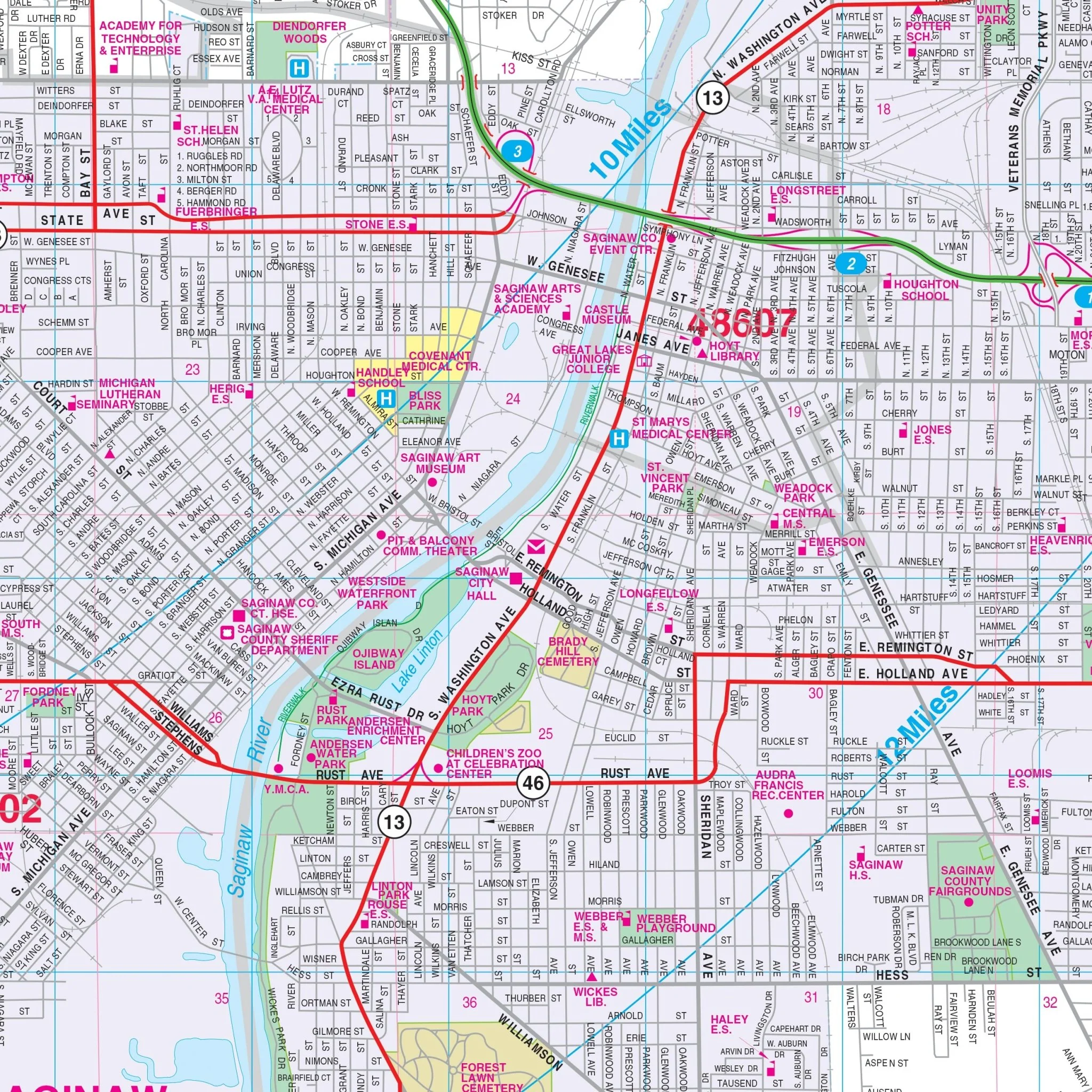
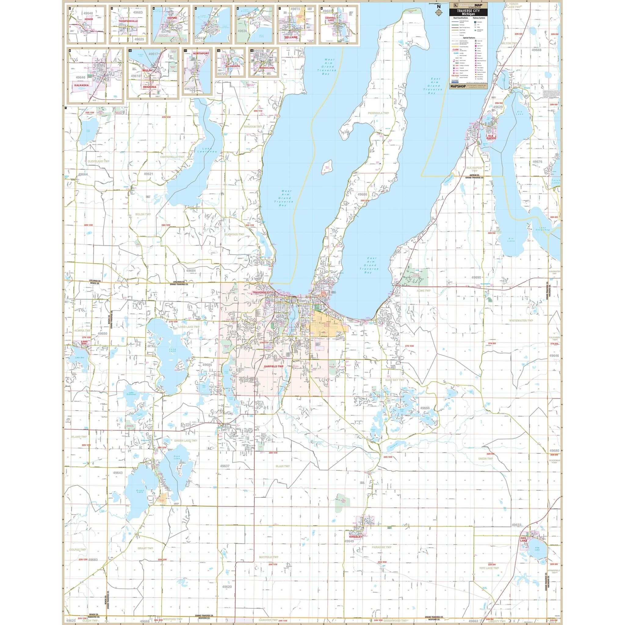
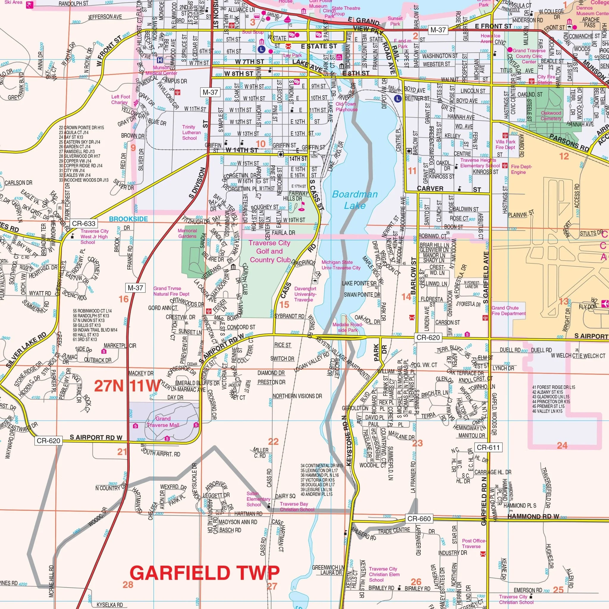
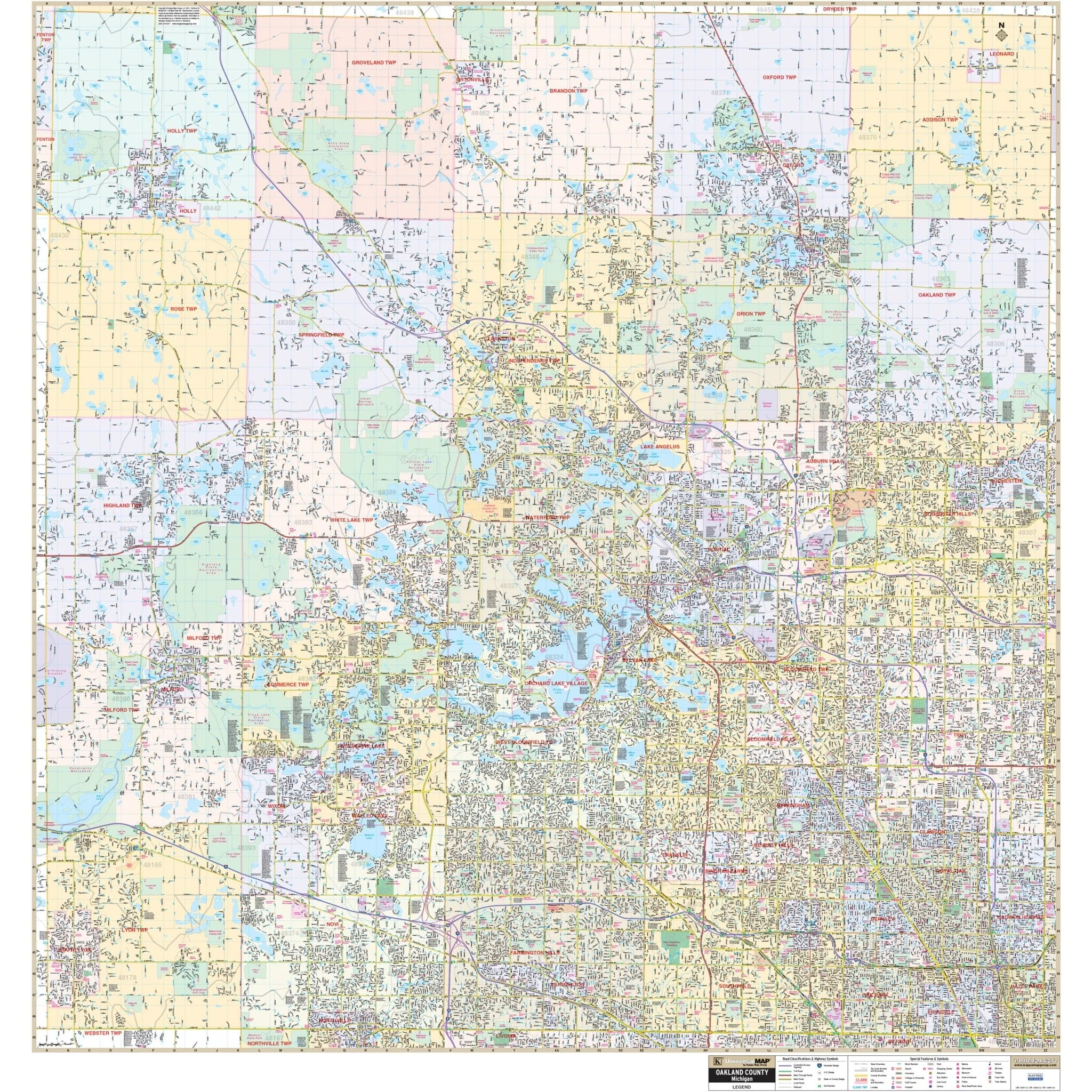
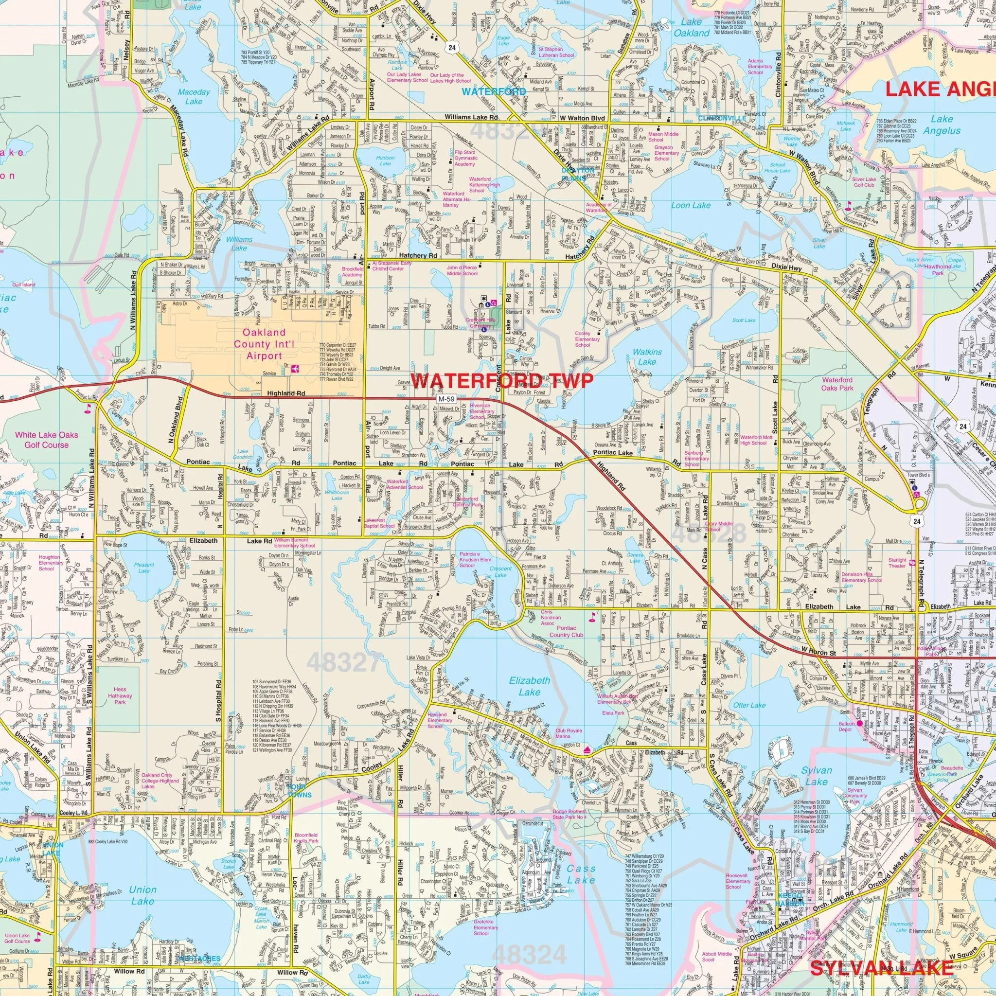
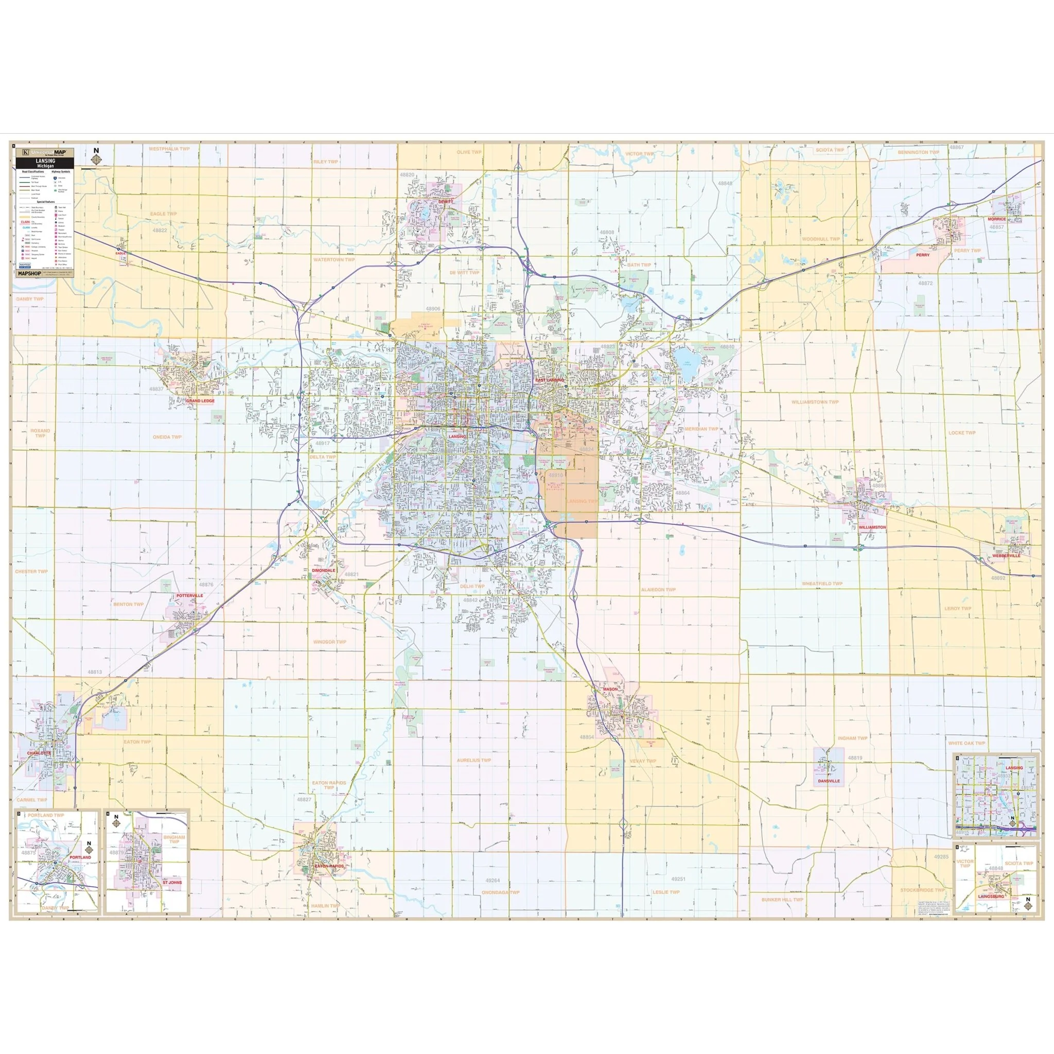
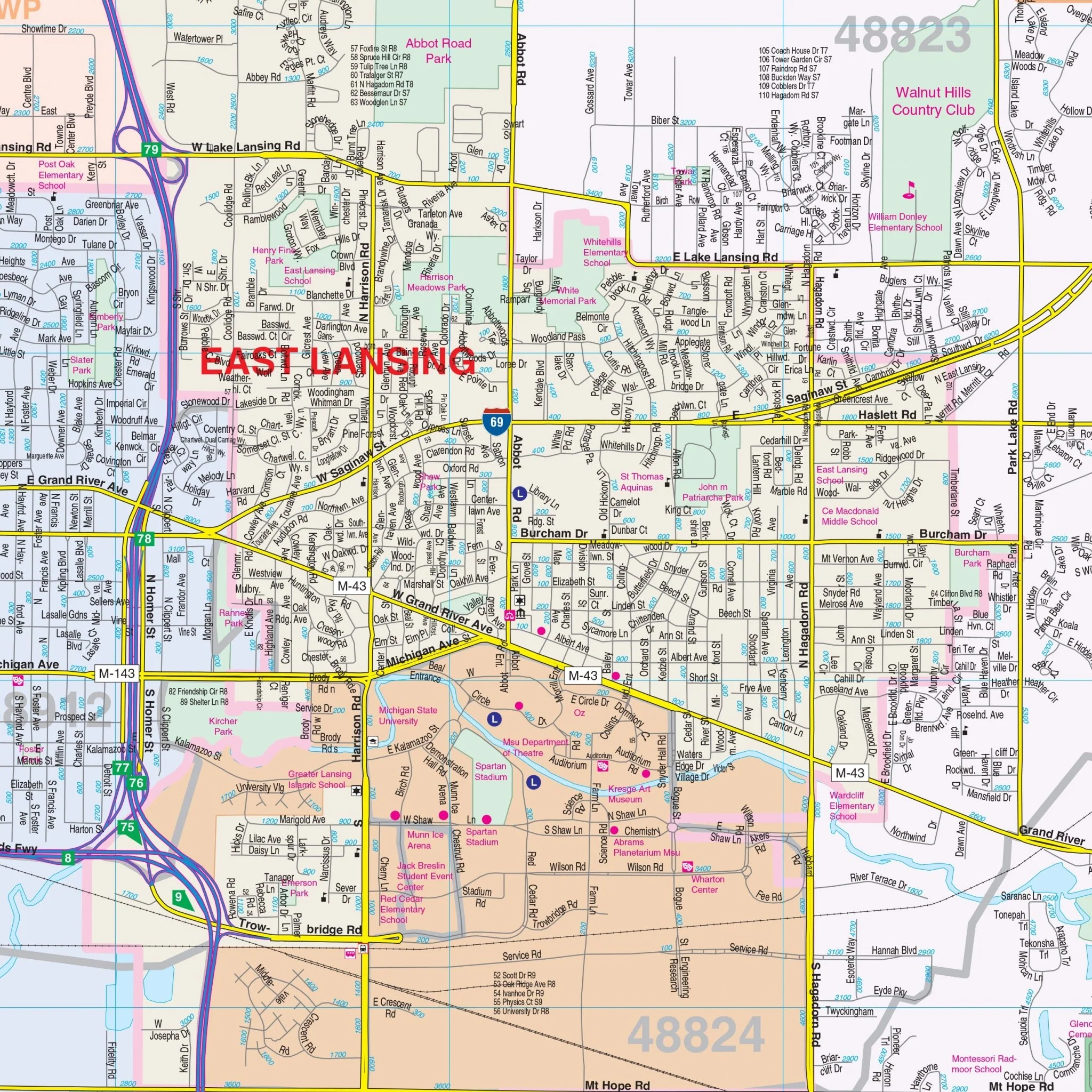
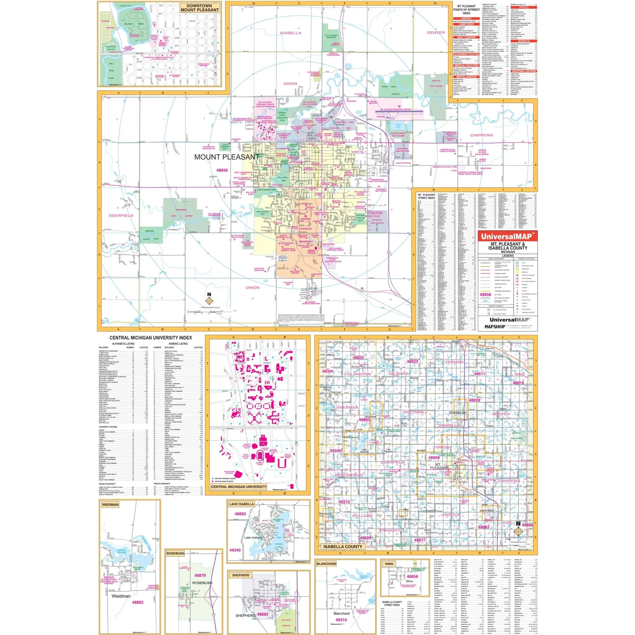
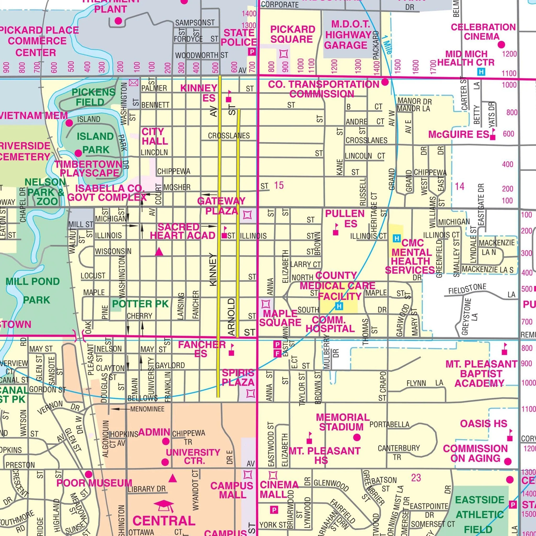
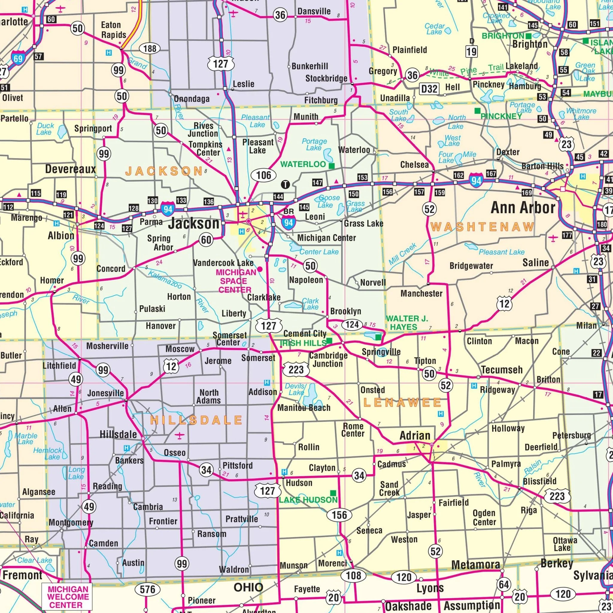
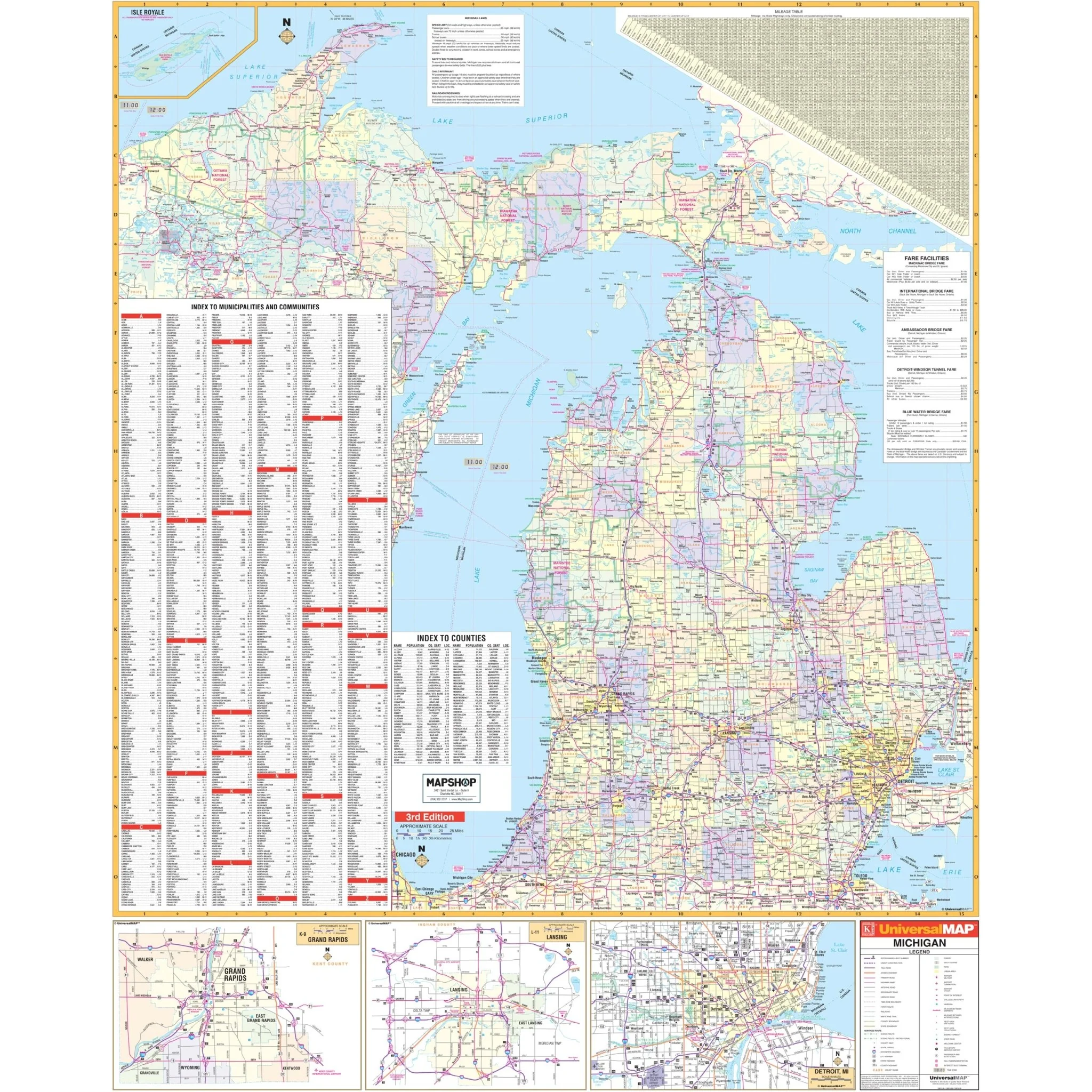
The Michigan State Wall Map by Kappa Map Group is a comprehensive cartographic tool, providing an in-depth view of the state. This map includes cities and counties indexed on its face for easy navigation. It features color-coded counties and a handy mileage chart to calculate distances between major cities. Detailing all state and federal highways, major waterways, state universities, military installations, major airports, state parks, and wildlife areas, it covers a wide range of geographical and infrastructural elements. Additionally, the map presents cities, towns, and various points of interest across Michigan, making it a valuable resource for residents, professionals, and visitors seeking detailed geographic information.
Size: 54" x 68"
Published: 2000
Original: $149.99
-70%$149.99
$45.00Product Information
Product Information
Shipping & Returns
Shipping & Returns
Description
The Michigan State Wall Map by Kappa Map Group is a comprehensive cartographic tool, providing an in-depth view of the state. This map includes cities and counties indexed on its face for easy navigation. It features color-coded counties and a handy mileage chart to calculate distances between major cities. Detailing all state and federal highways, major waterways, state universities, military installations, major airports, state parks, and wildlife areas, it covers a wide range of geographical and infrastructural elements. Additionally, the map presents cities, towns, and various points of interest across Michigan, making it a valuable resource for residents, professionals, and visitors seeking detailed geographic information.
Size: 54" x 68"
Published: 2000