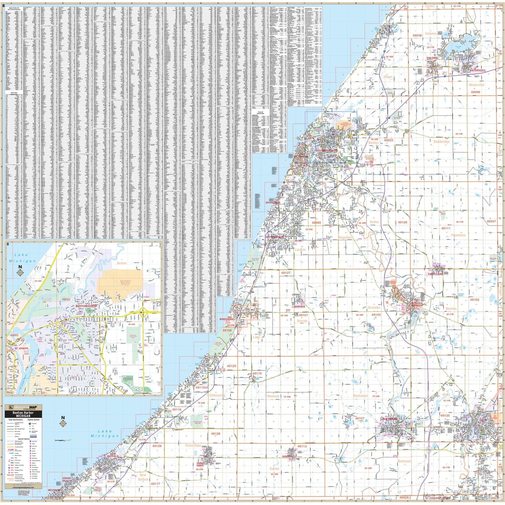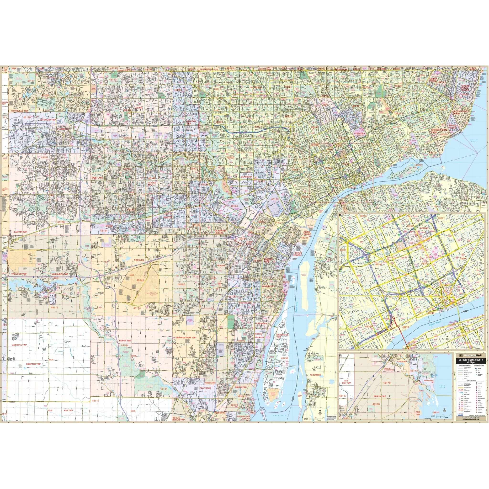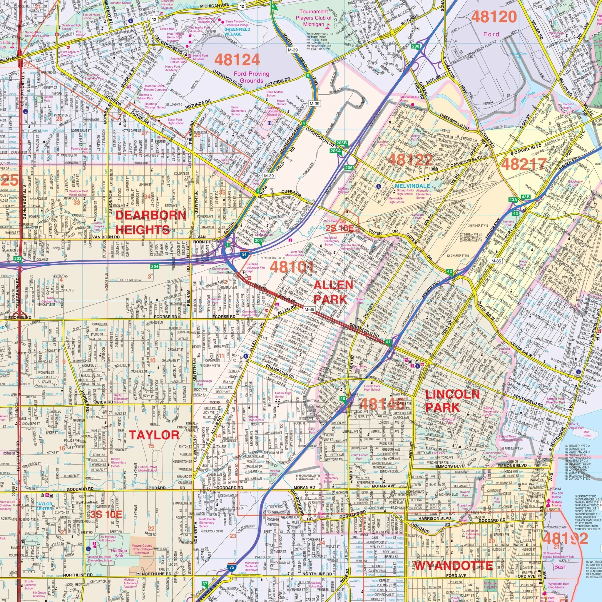


Southeast Michigan Regional Wall Map
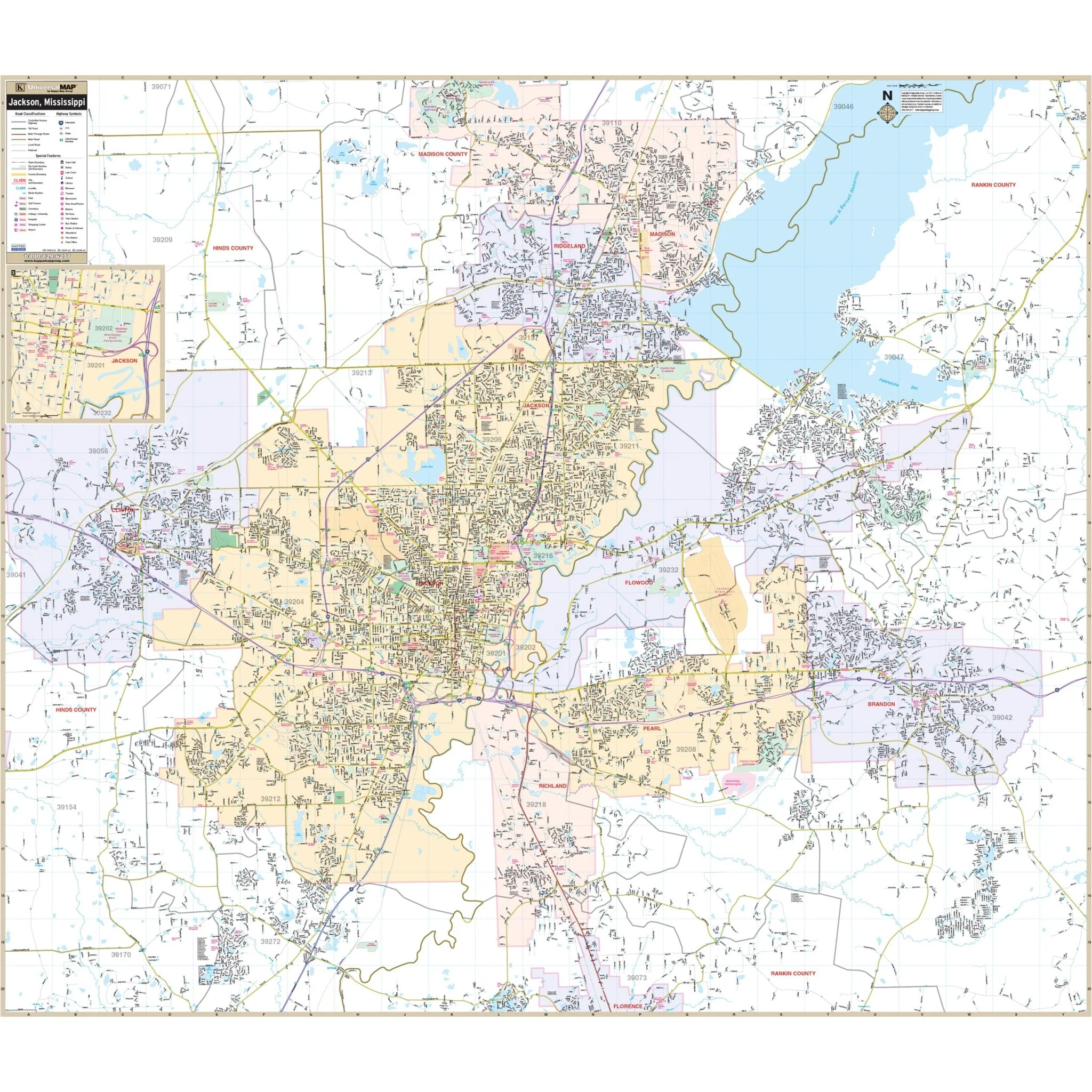
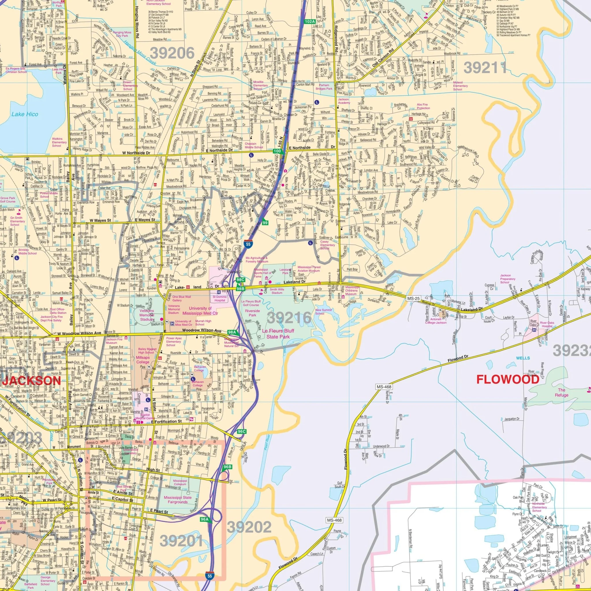
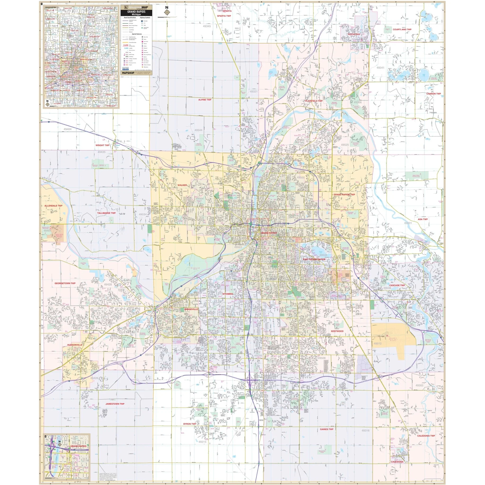
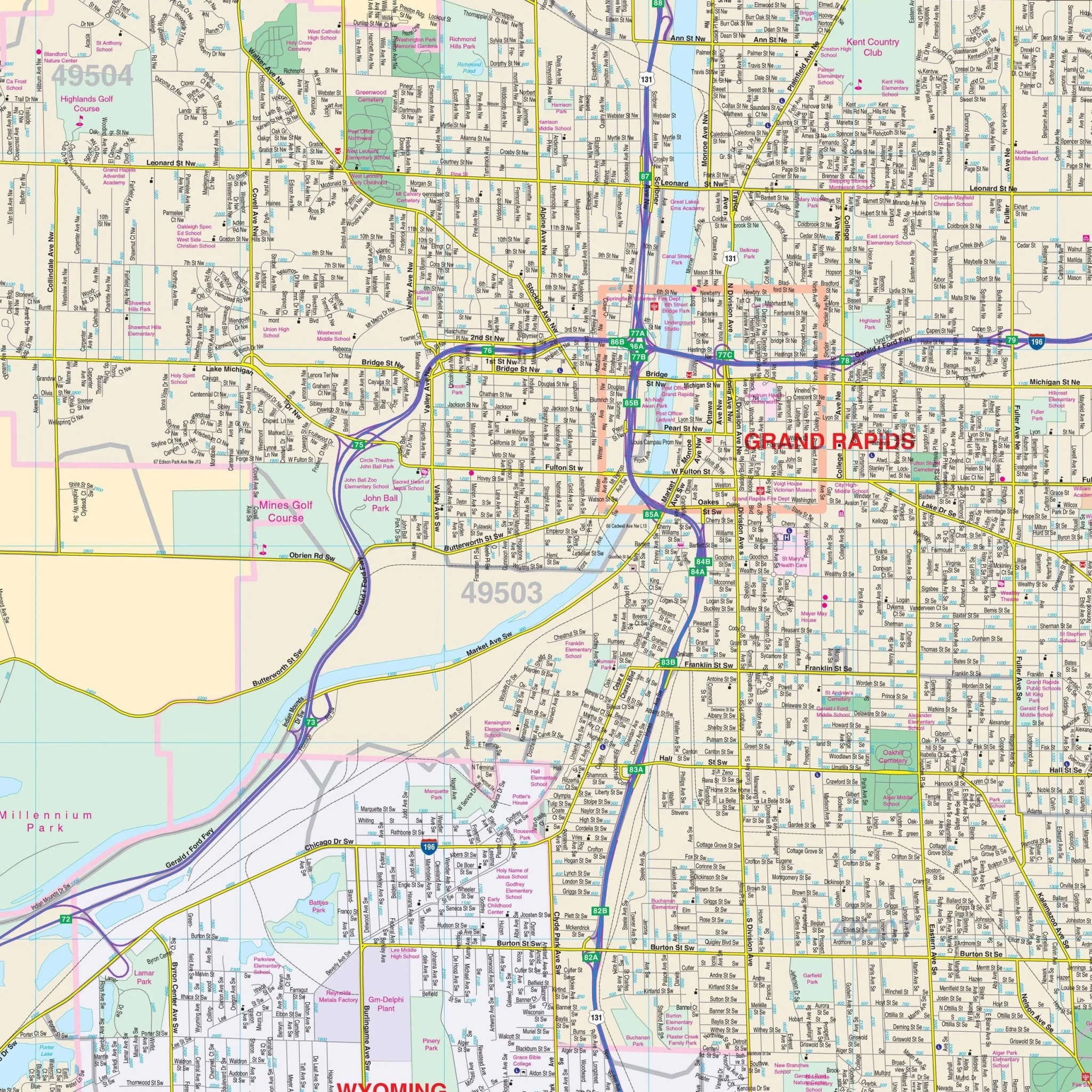
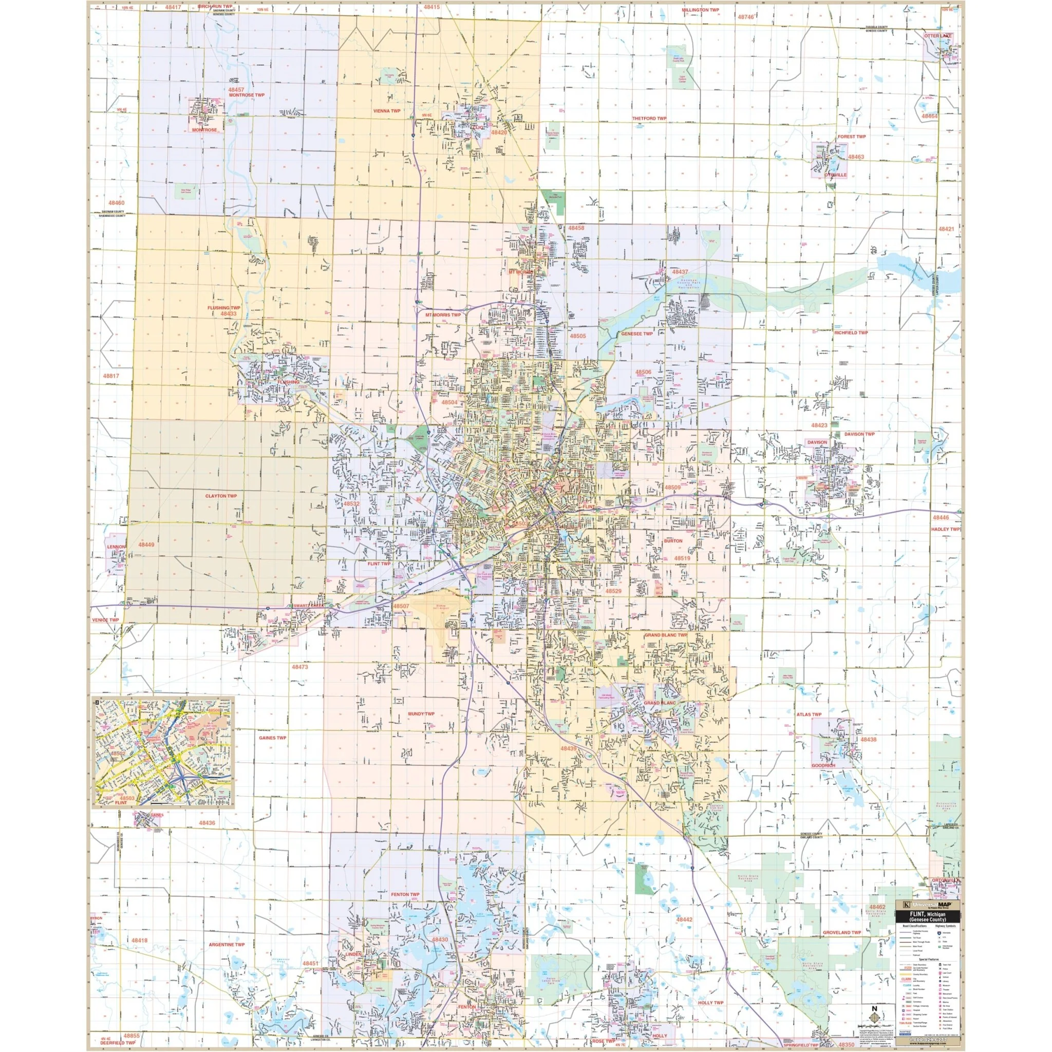
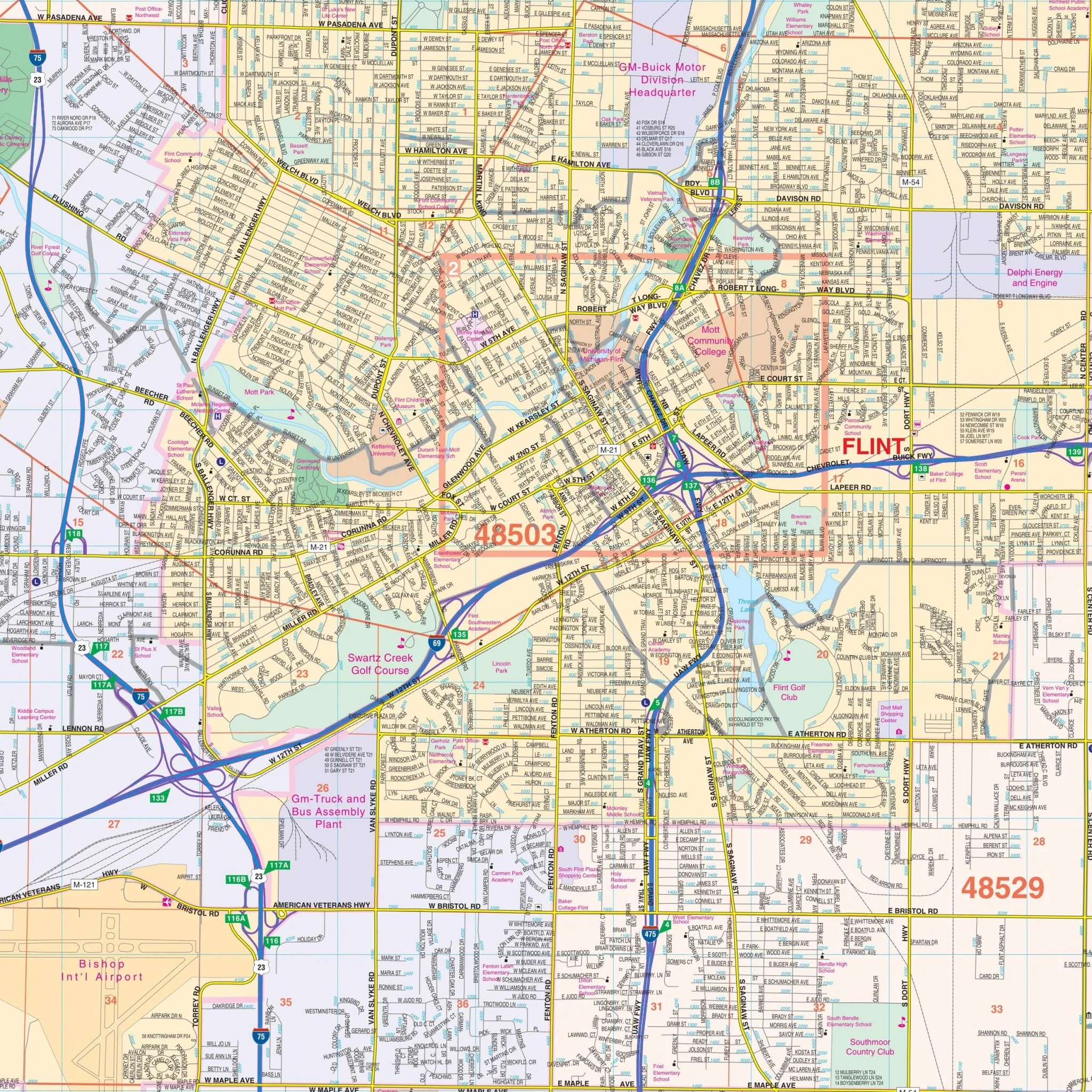
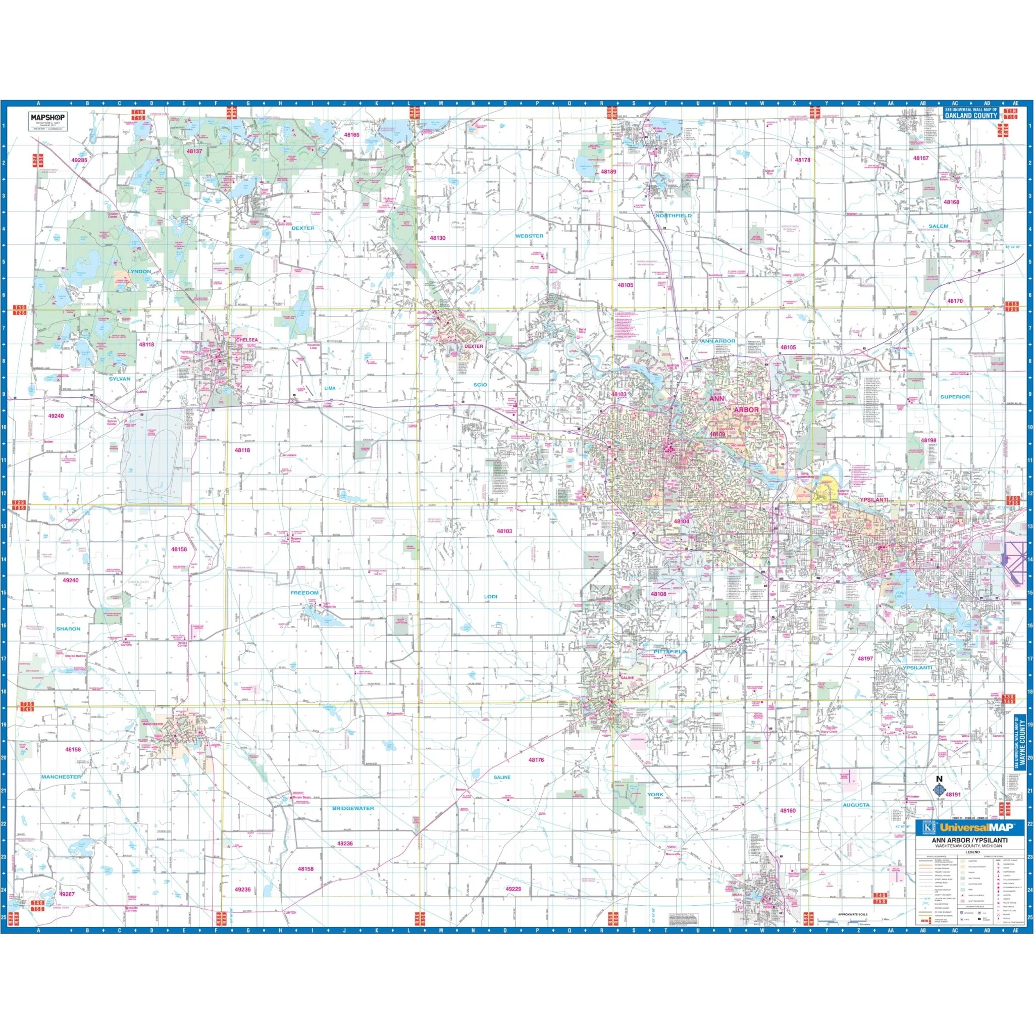
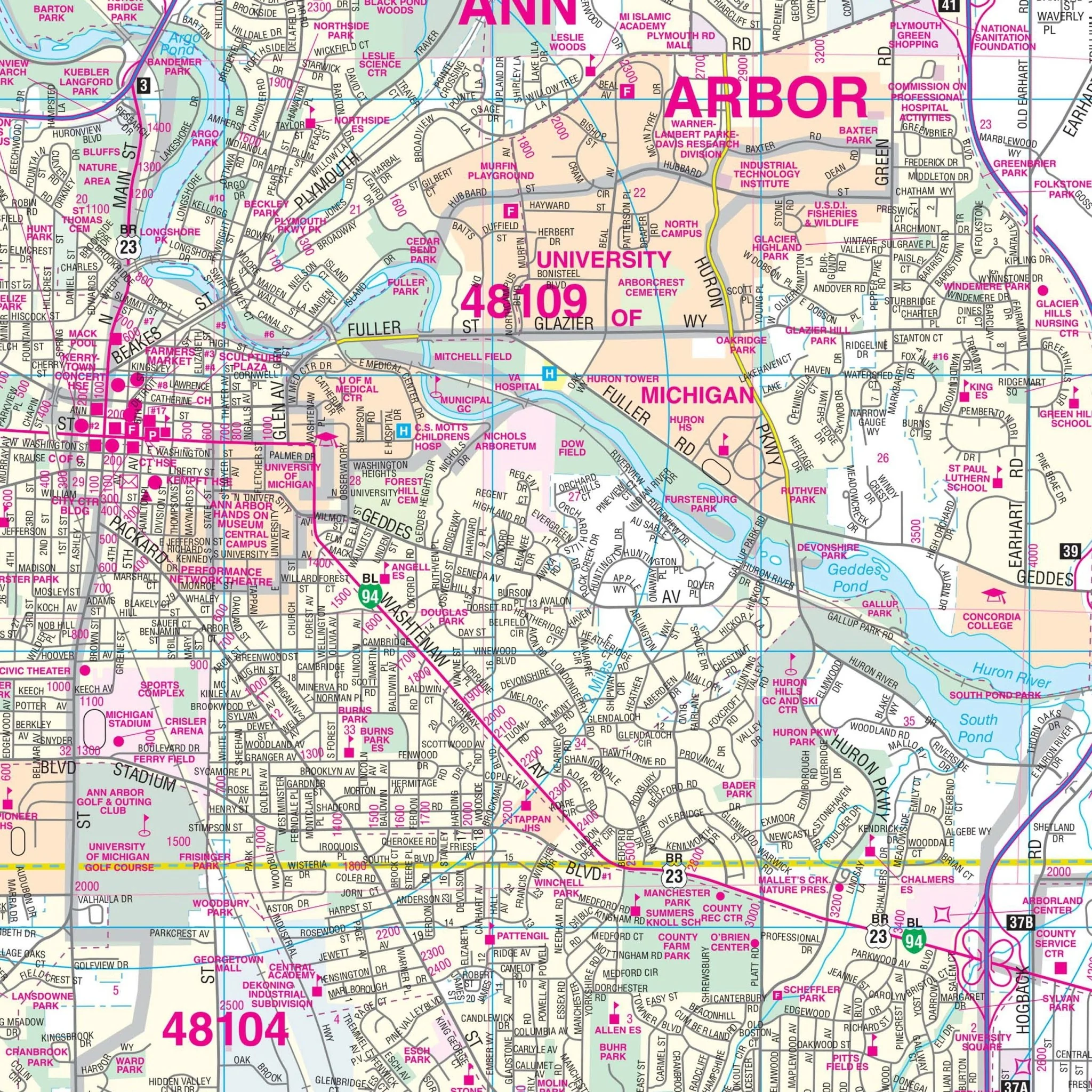
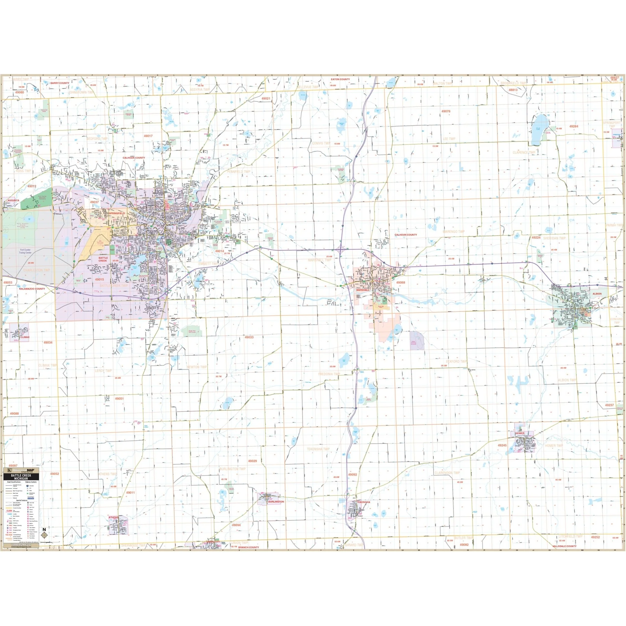
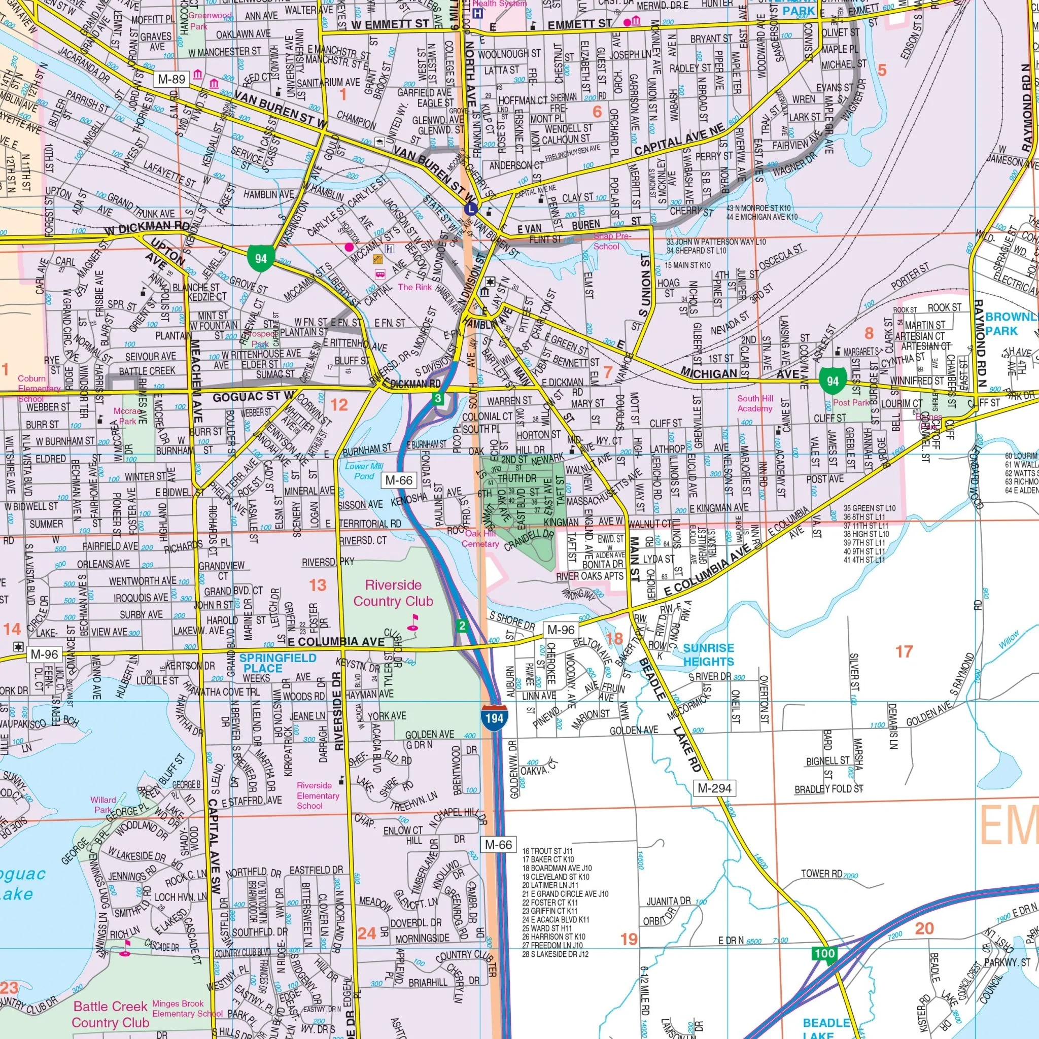
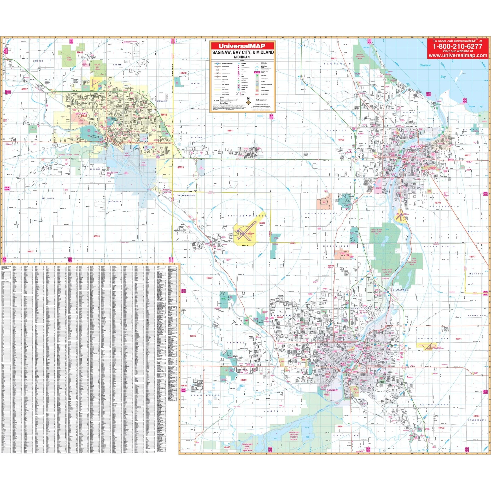
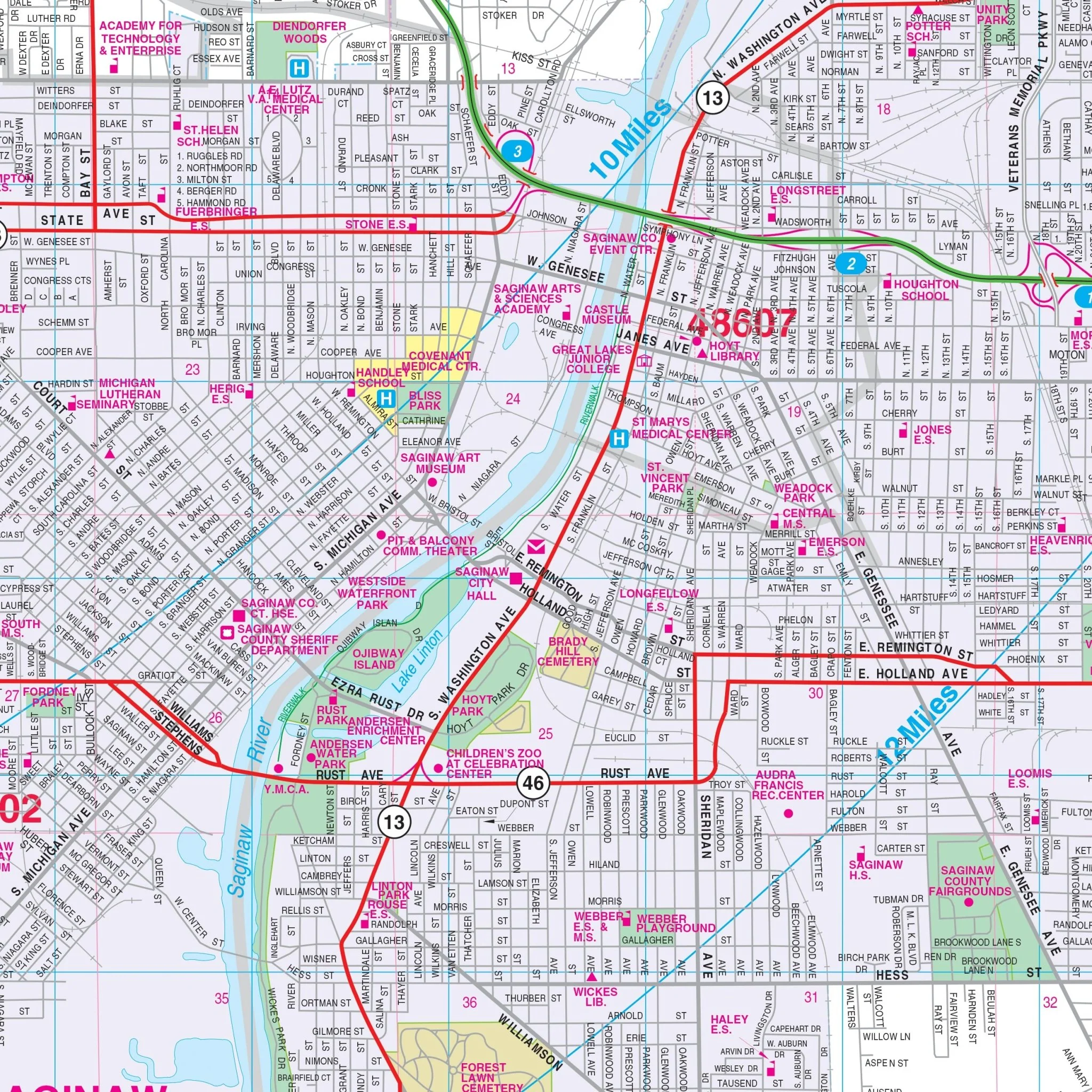
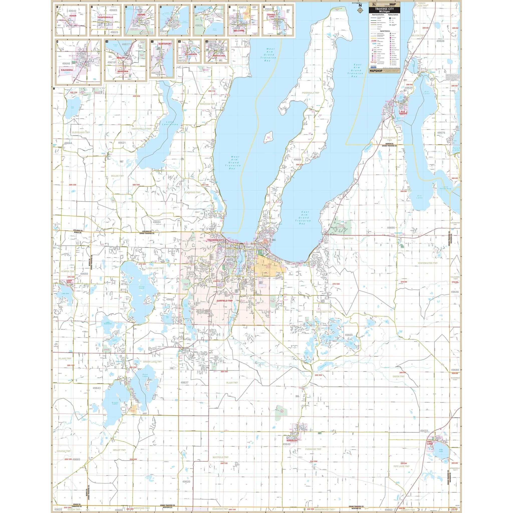
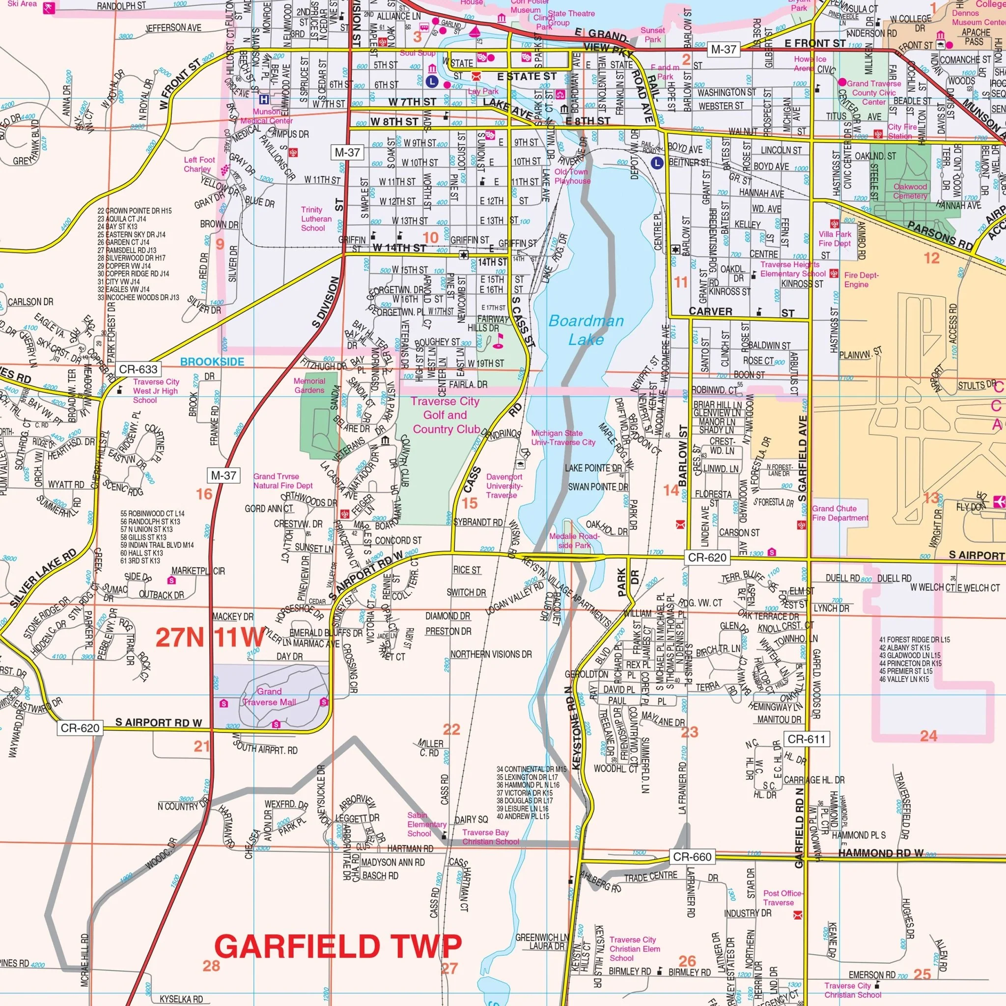
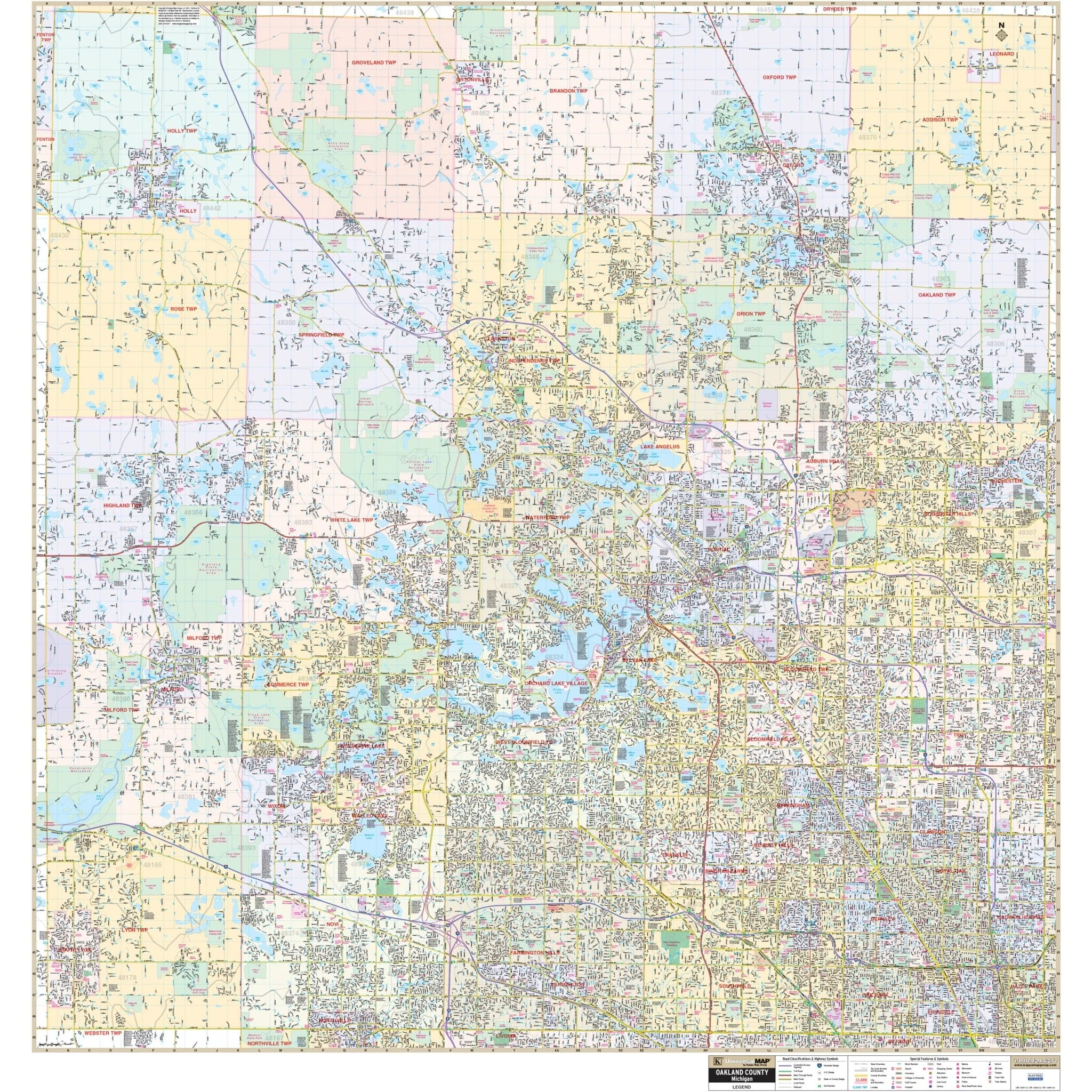
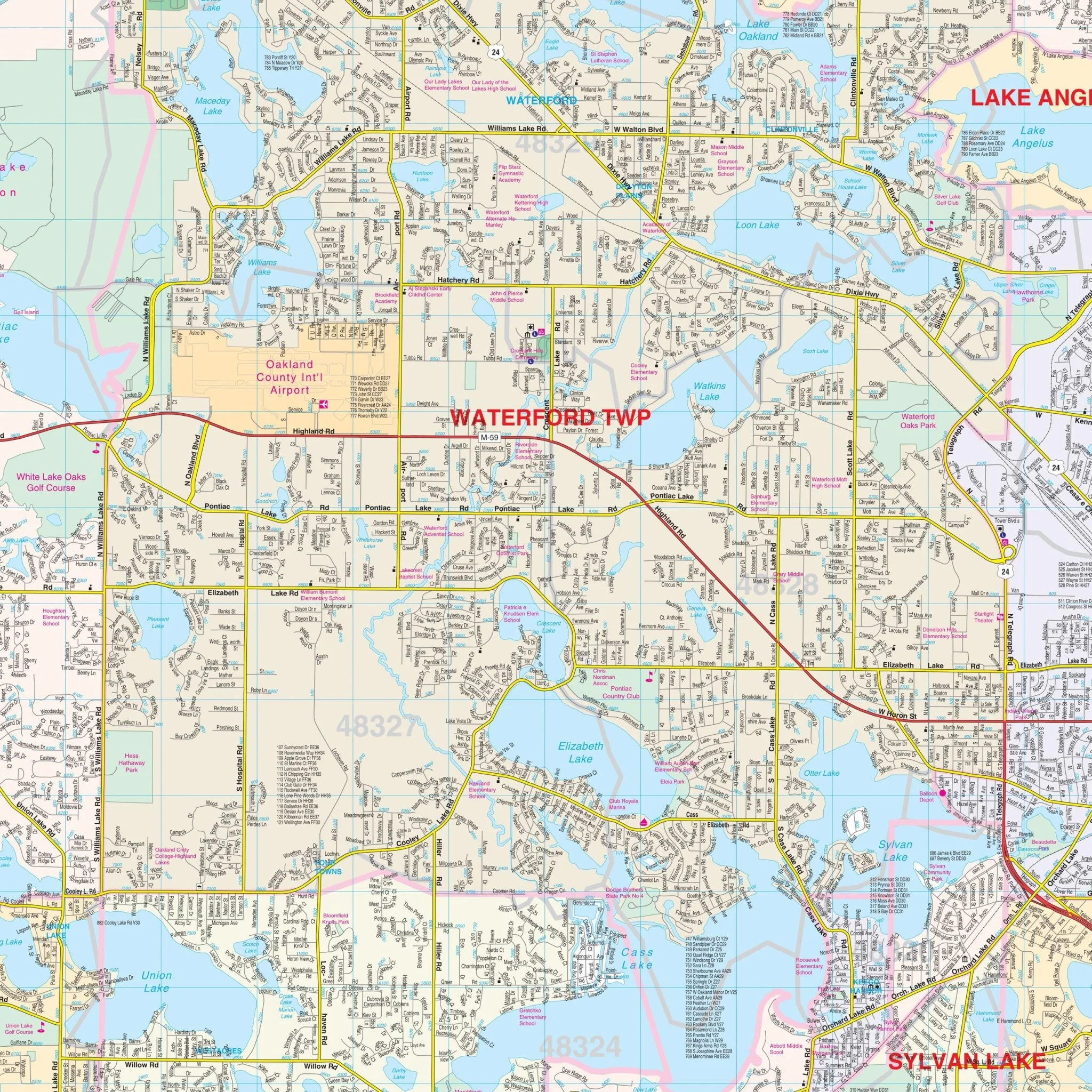
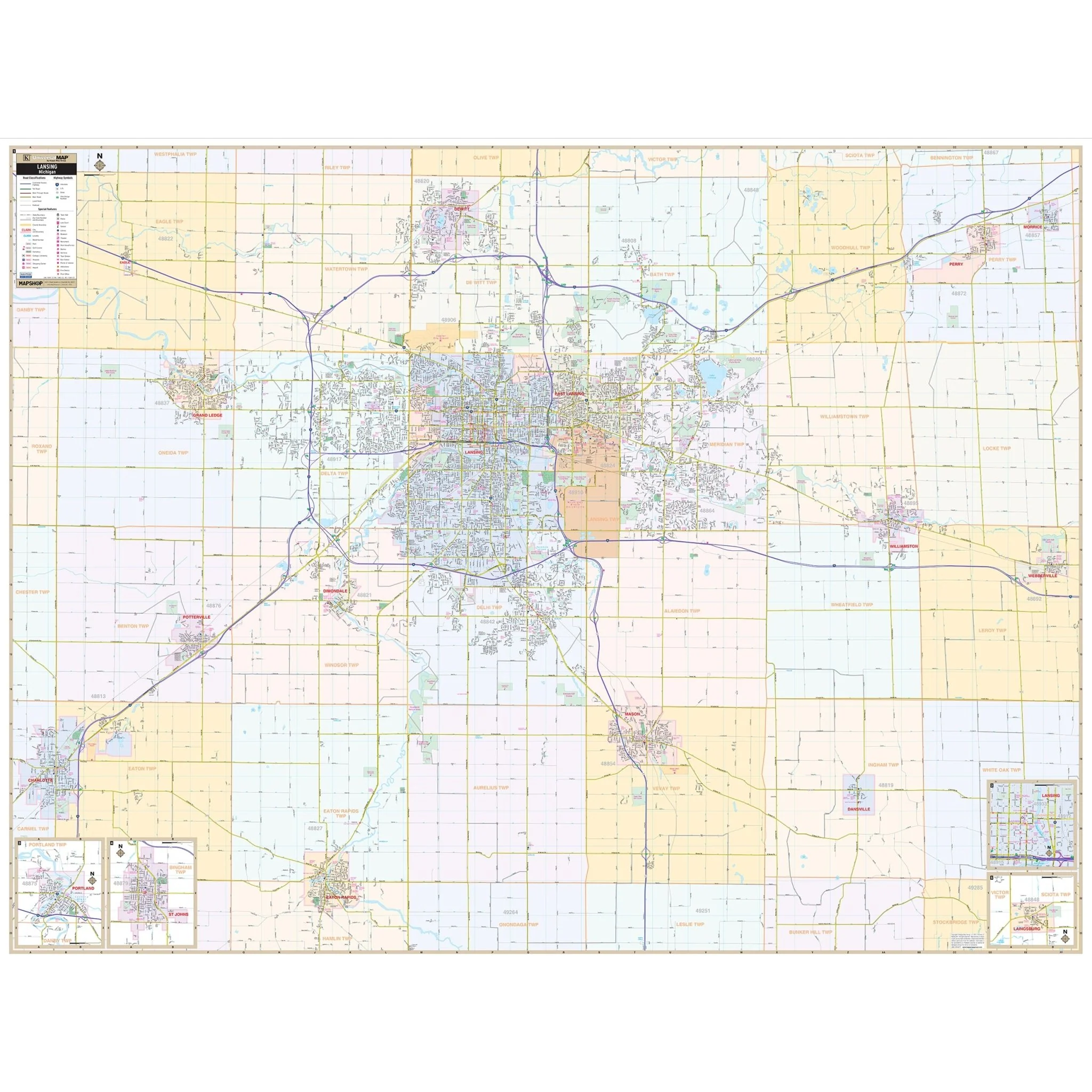
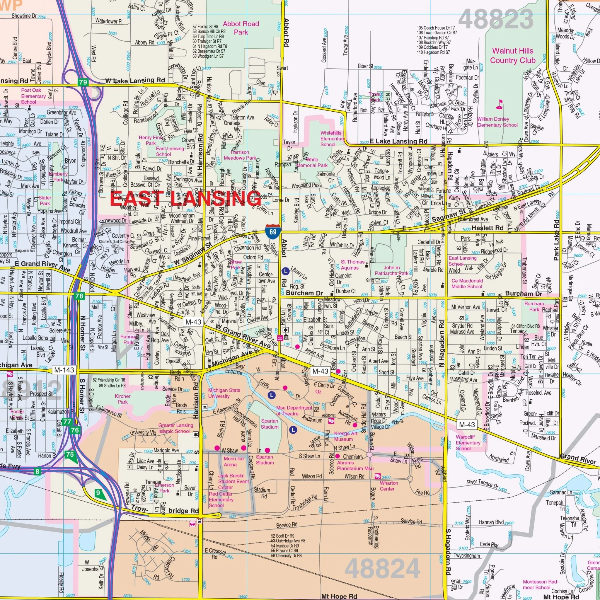
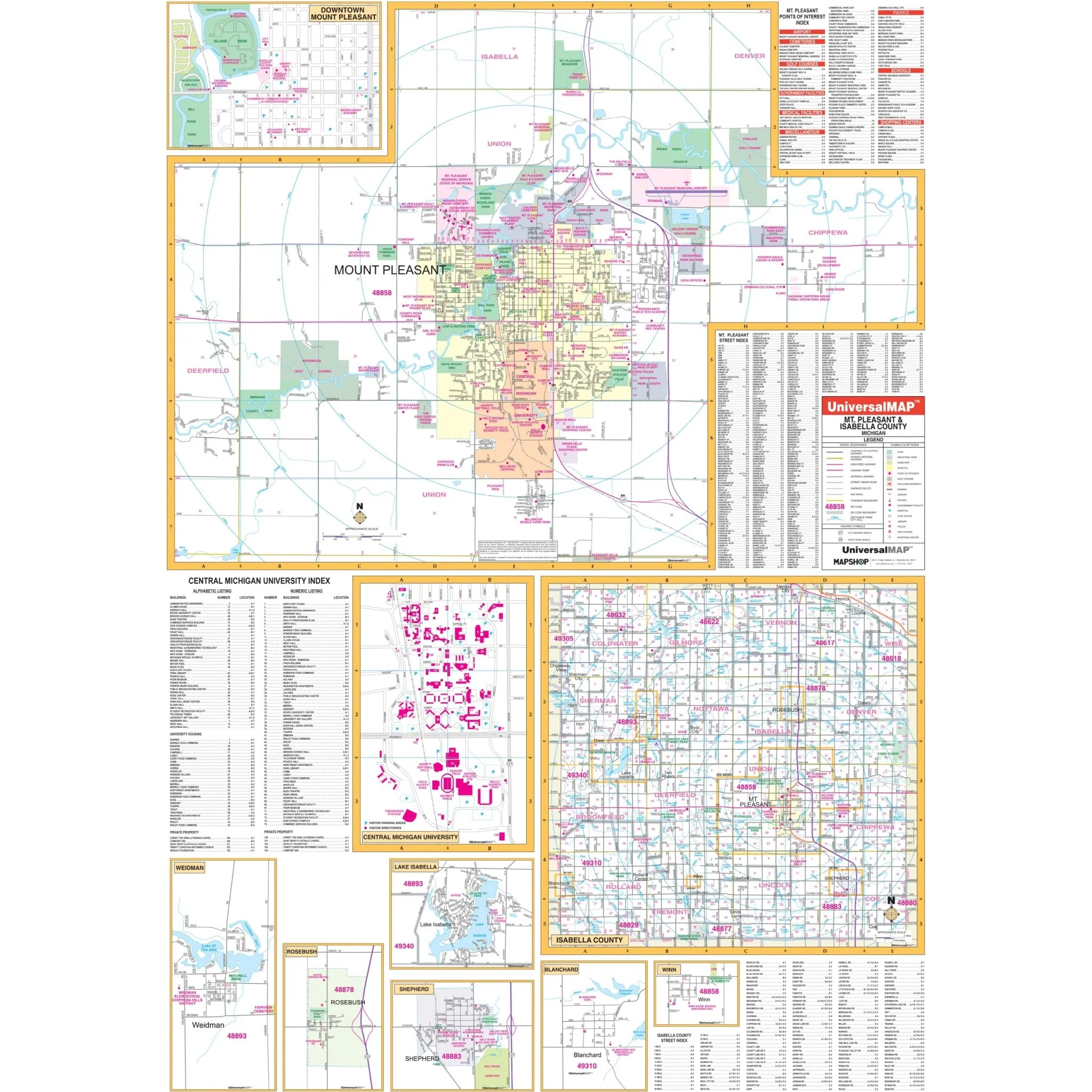
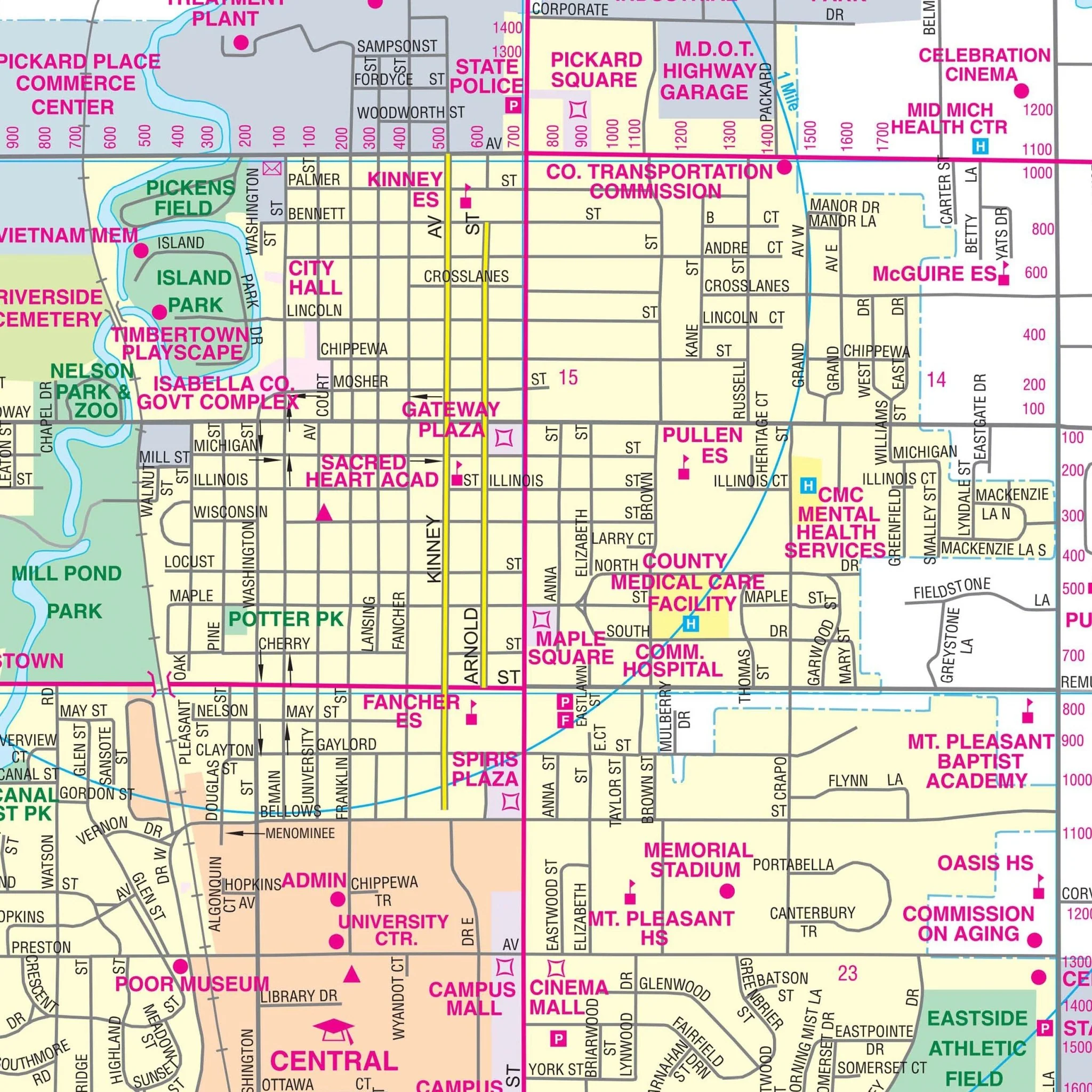
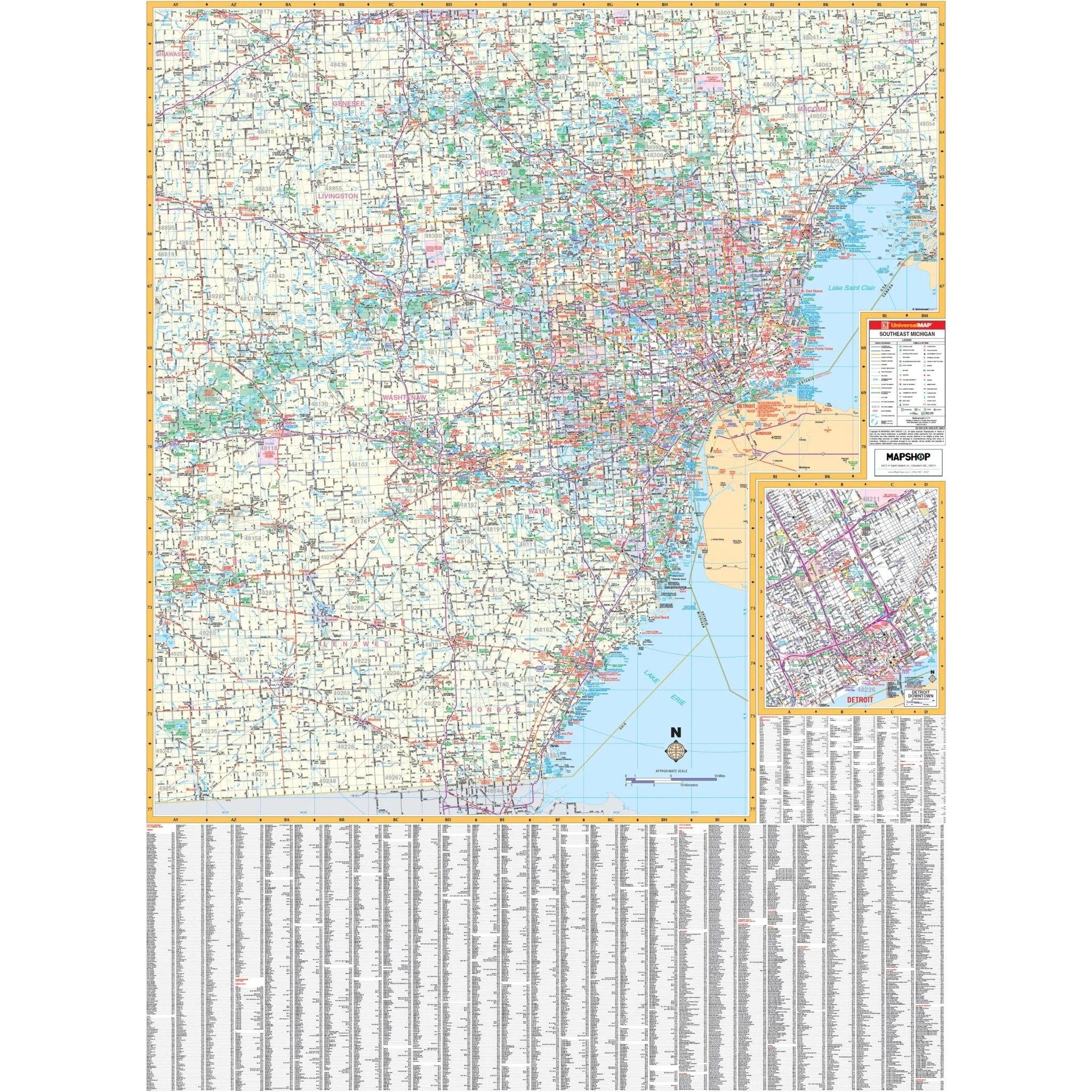
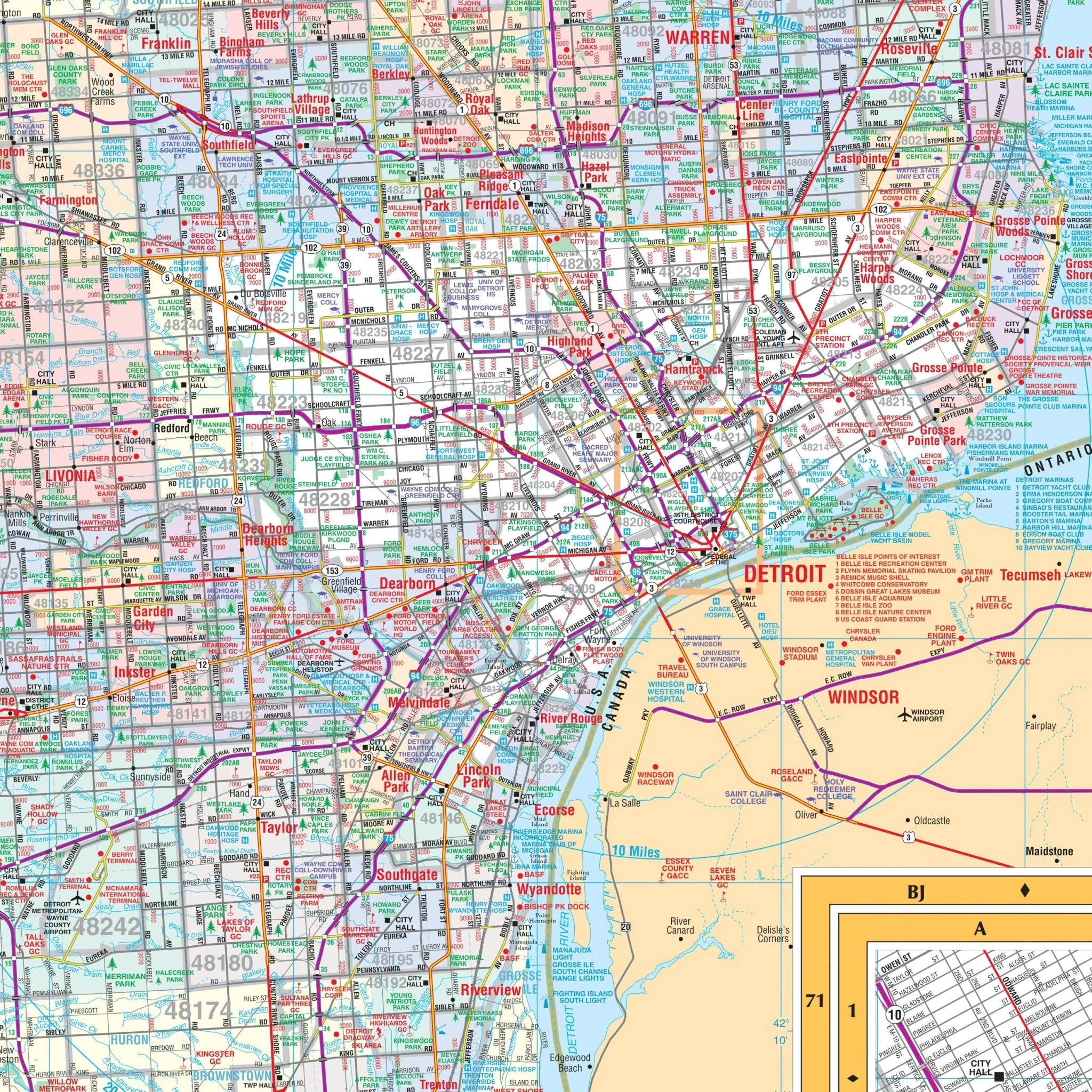
The Southeast Michigan Regional Wall Map by Kappa Map Group encompasses the southeast region of Michigan, providing detailed road networks which include interstates, U.S. and state highways, as well as county roads and streets in urban areas. It offers comprehensive coverage of the region, including the densely populated Detroit metropolitan area, as shown in the inset at the bottom right corner, which provides a closer look at the city's intricate road system. Coverage includes the following counties:
- Livingston
- Macomb
- Monroe
- Oakland
- Washtenaw
- Wayne
A notable feature of the map is its extensive city and town index, filling the lower portion and wrapping around the left side, systematically organized to assist with navigation and location tracking within the region. The map also includes a coded index of public facilities and points of interest, such as hospitals, universities, airports, and parks, which can be found on the right-hand side, adjacent to the map.
The large expanse of the map covers significant natural landmarks, including the western shores of Lake Erie, and delineates county boundaries with clear color coding. This map is designed as a functional tool for residents, businesses, and visitors, providing a detailed reference for travel, commuting, and logistical planning in Southeast Michigan.
Size: 47" x 64"
Published: 2008
Original: $139.99
-70%$139.99
$42.00Product Information
Product Information
Shipping & Returns
Shipping & Returns
Description
The Southeast Michigan Regional Wall Map by Kappa Map Group encompasses the southeast region of Michigan, providing detailed road networks which include interstates, U.S. and state highways, as well as county roads and streets in urban areas. It offers comprehensive coverage of the region, including the densely populated Detroit metropolitan area, as shown in the inset at the bottom right corner, which provides a closer look at the city's intricate road system. Coverage includes the following counties:
- Livingston
- Macomb
- Monroe
- Oakland
- Washtenaw
- Wayne
A notable feature of the map is its extensive city and town index, filling the lower portion and wrapping around the left side, systematically organized to assist with navigation and location tracking within the region. The map also includes a coded index of public facilities and points of interest, such as hospitals, universities, airports, and parks, which can be found on the right-hand side, adjacent to the map.
The large expanse of the map covers significant natural landmarks, including the western shores of Lake Erie, and delineates county boundaries with clear color coding. This map is designed as a functional tool for residents, businesses, and visitors, providing a detailed reference for travel, commuting, and logistical planning in Southeast Michigan.
Size: 47" x 64"
Published: 2008