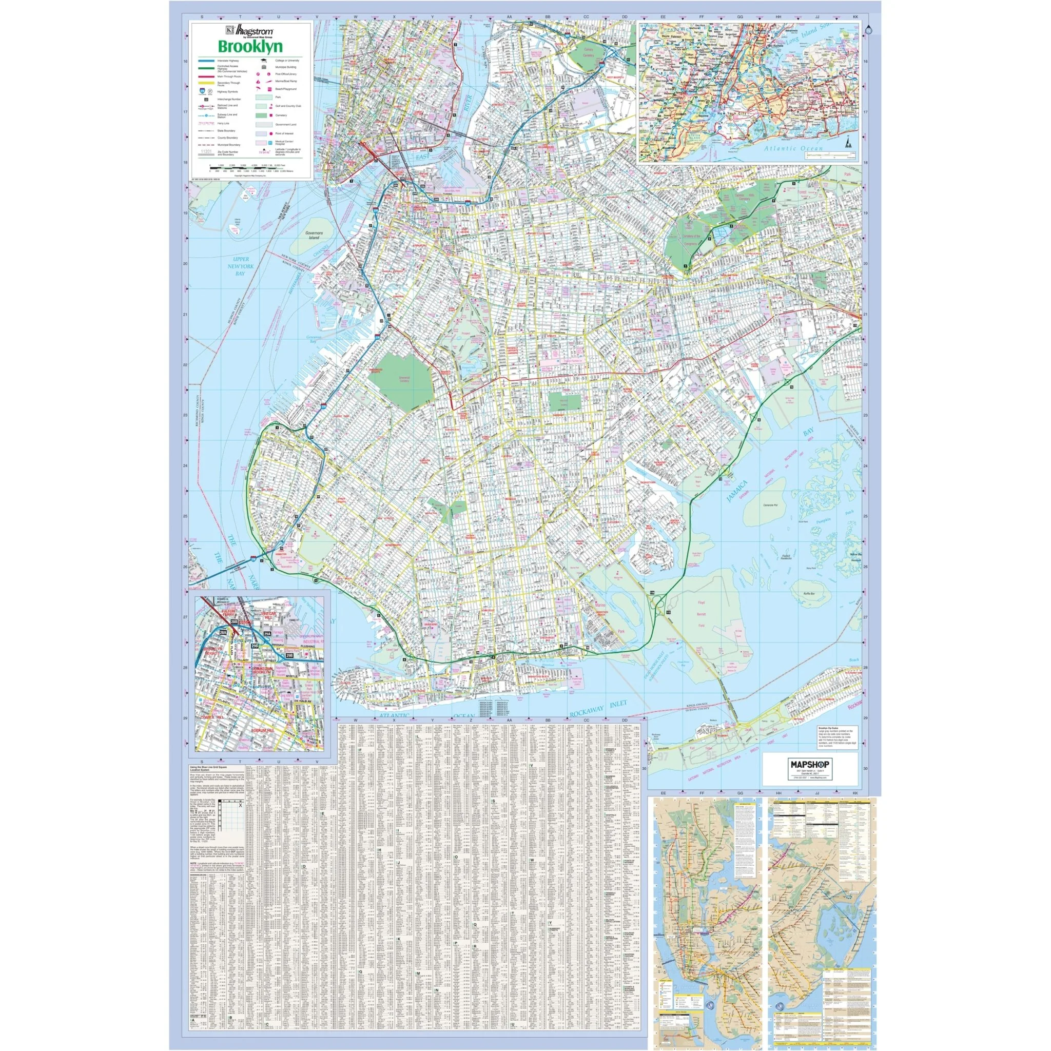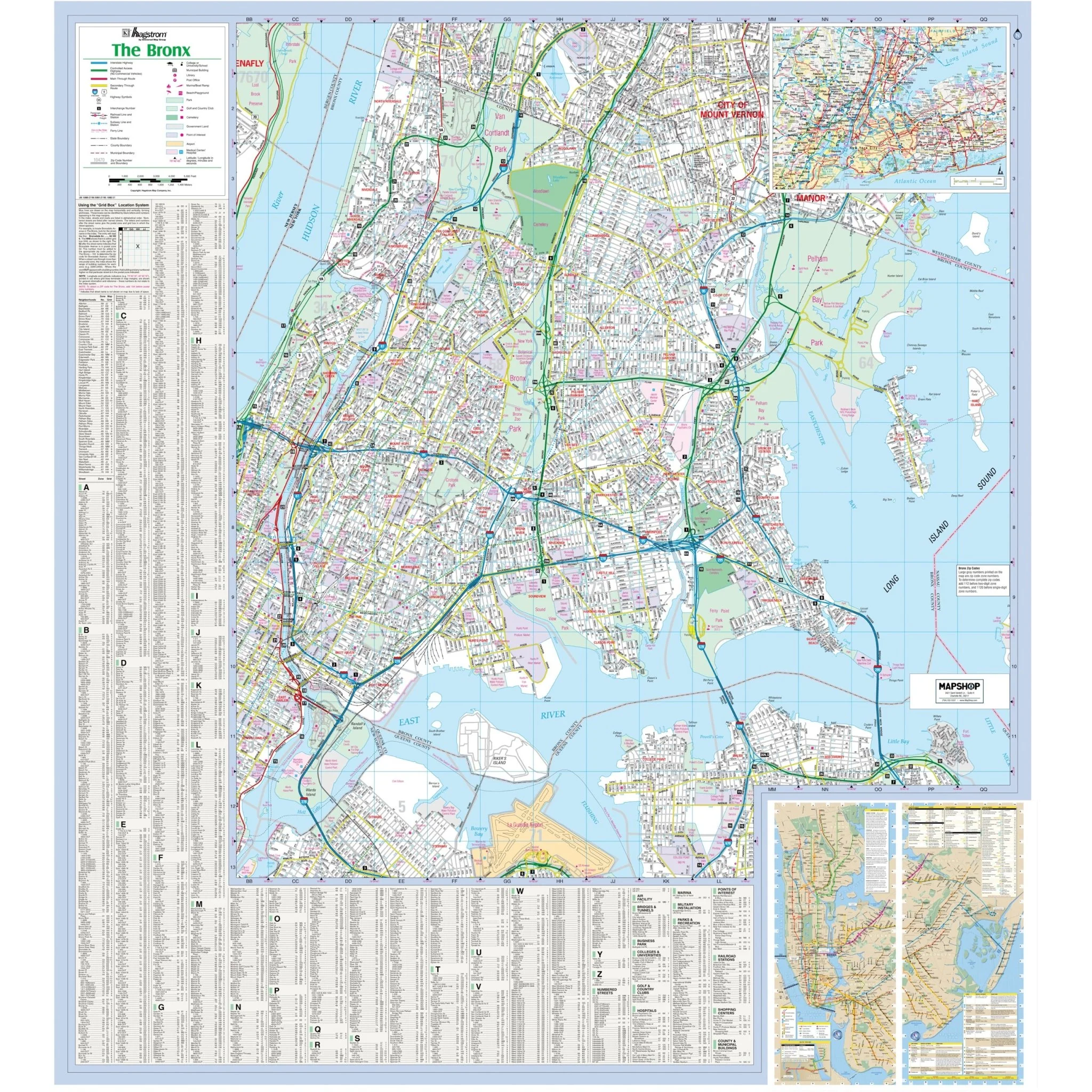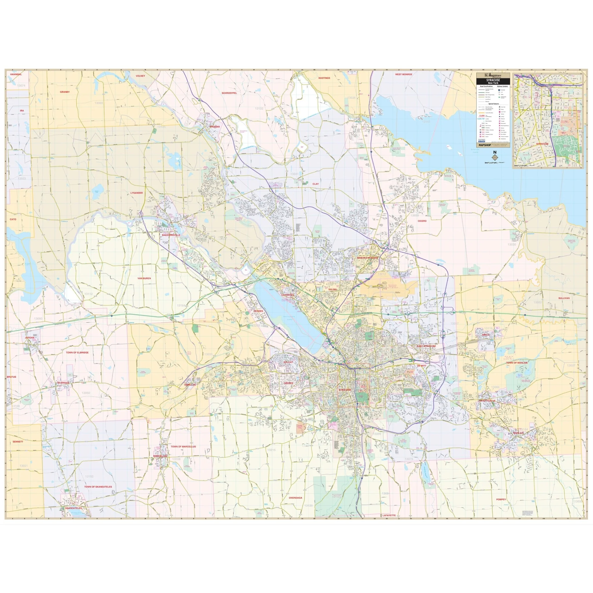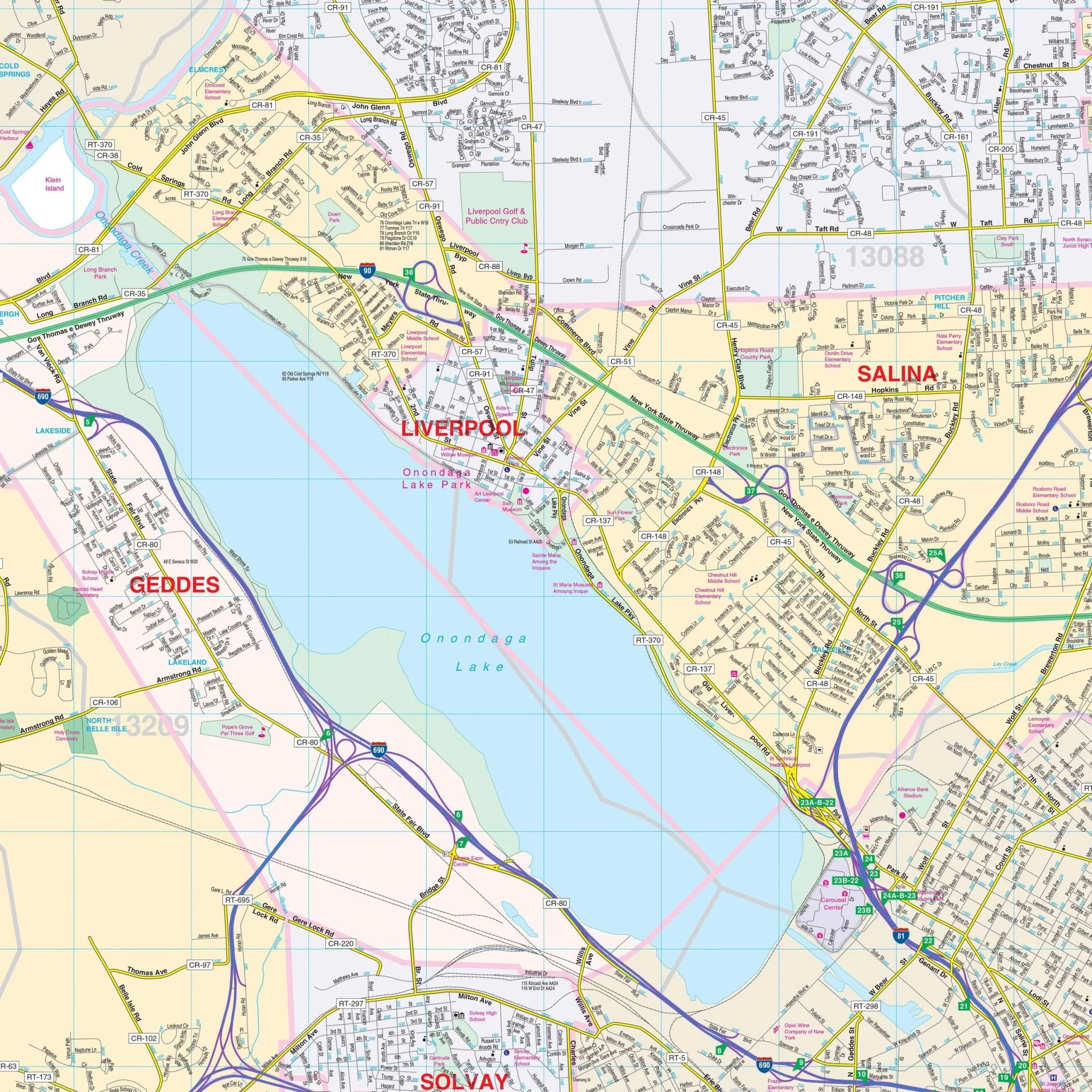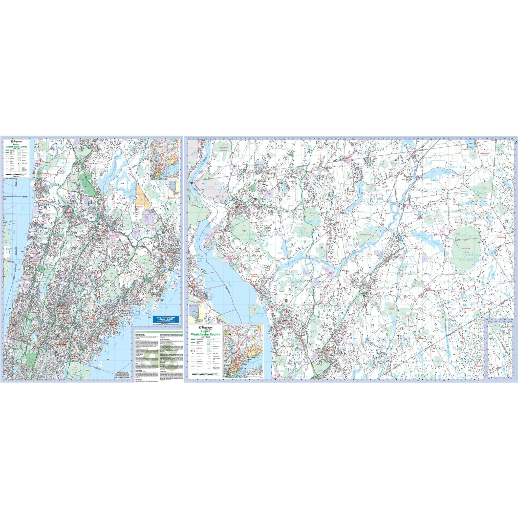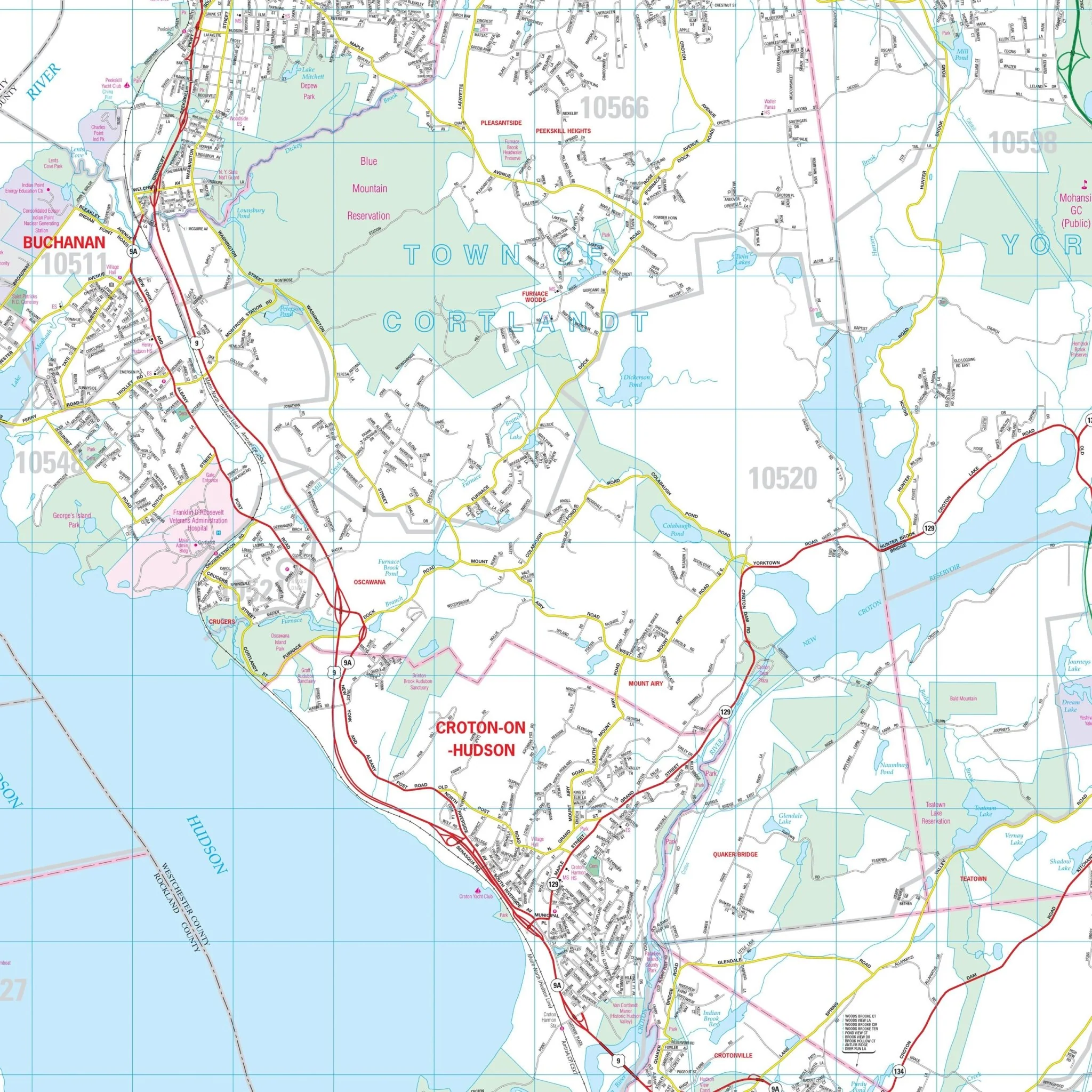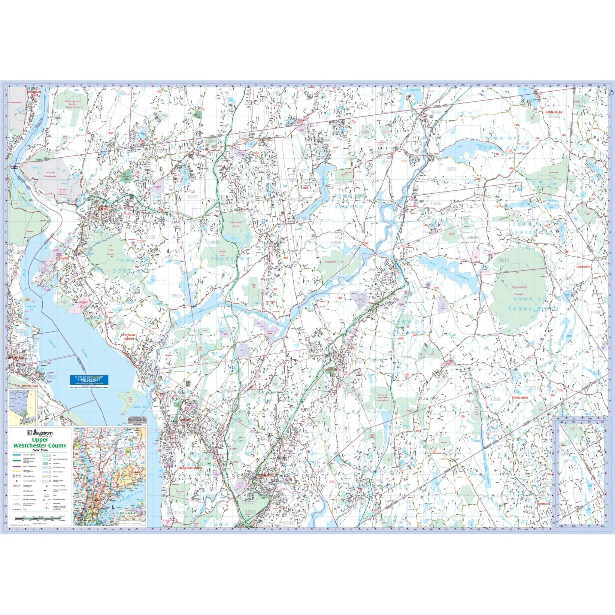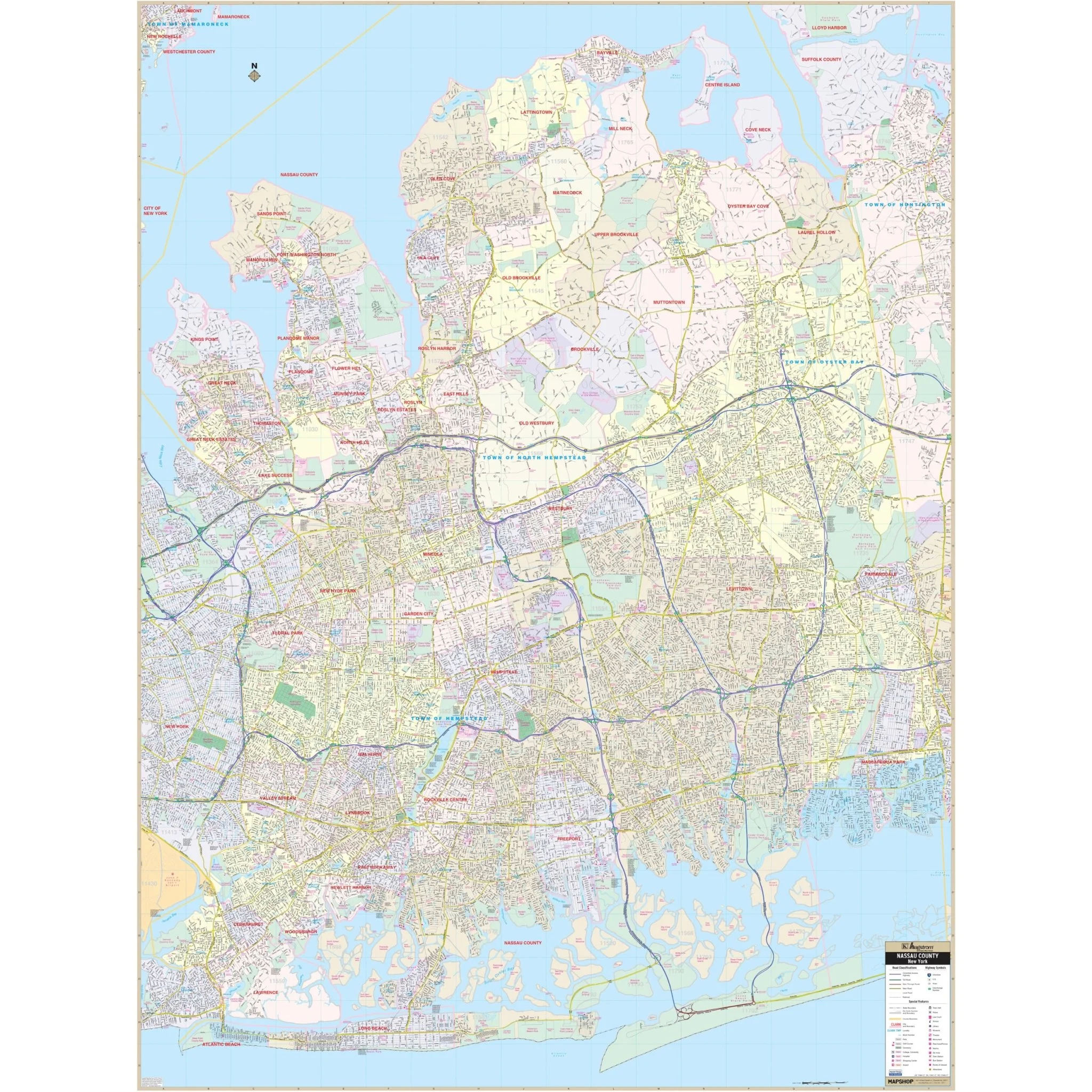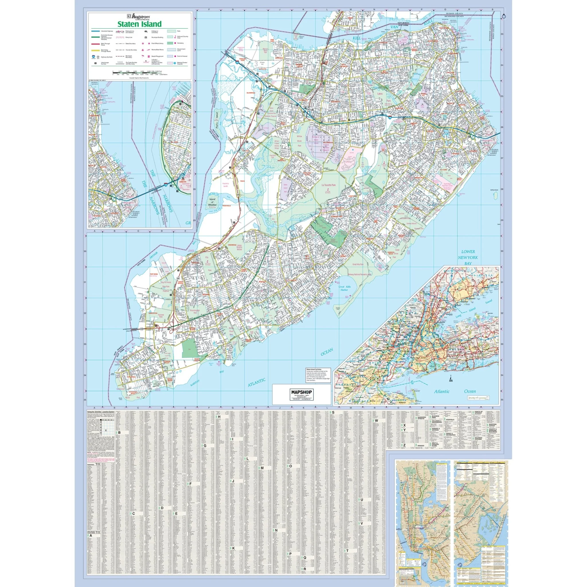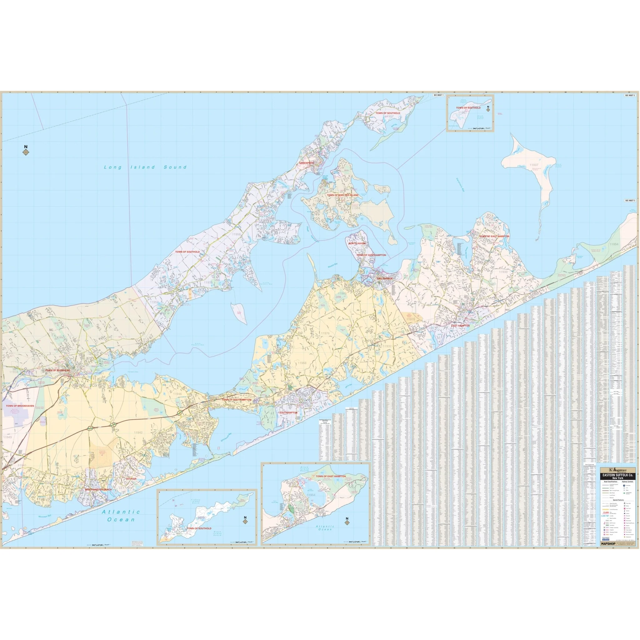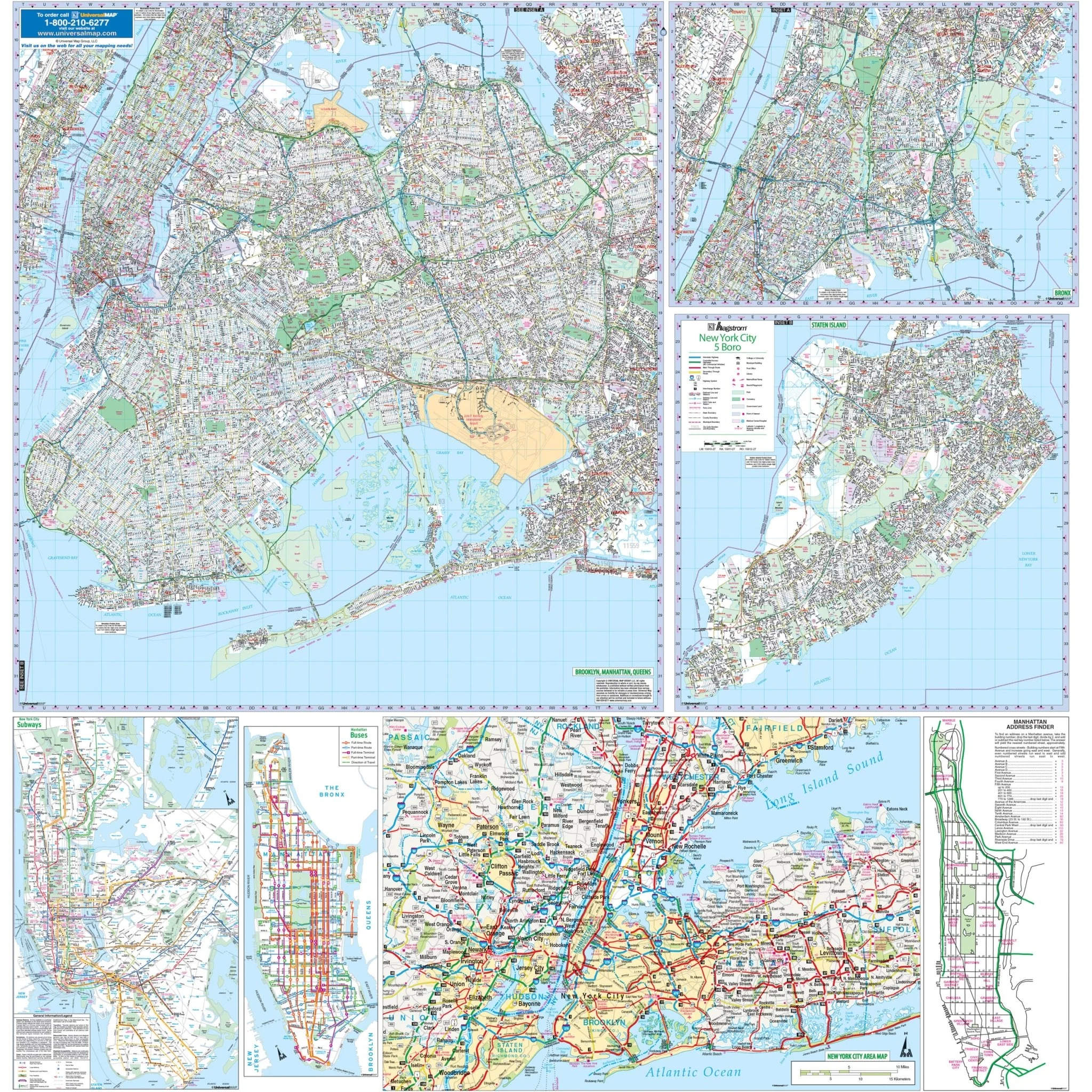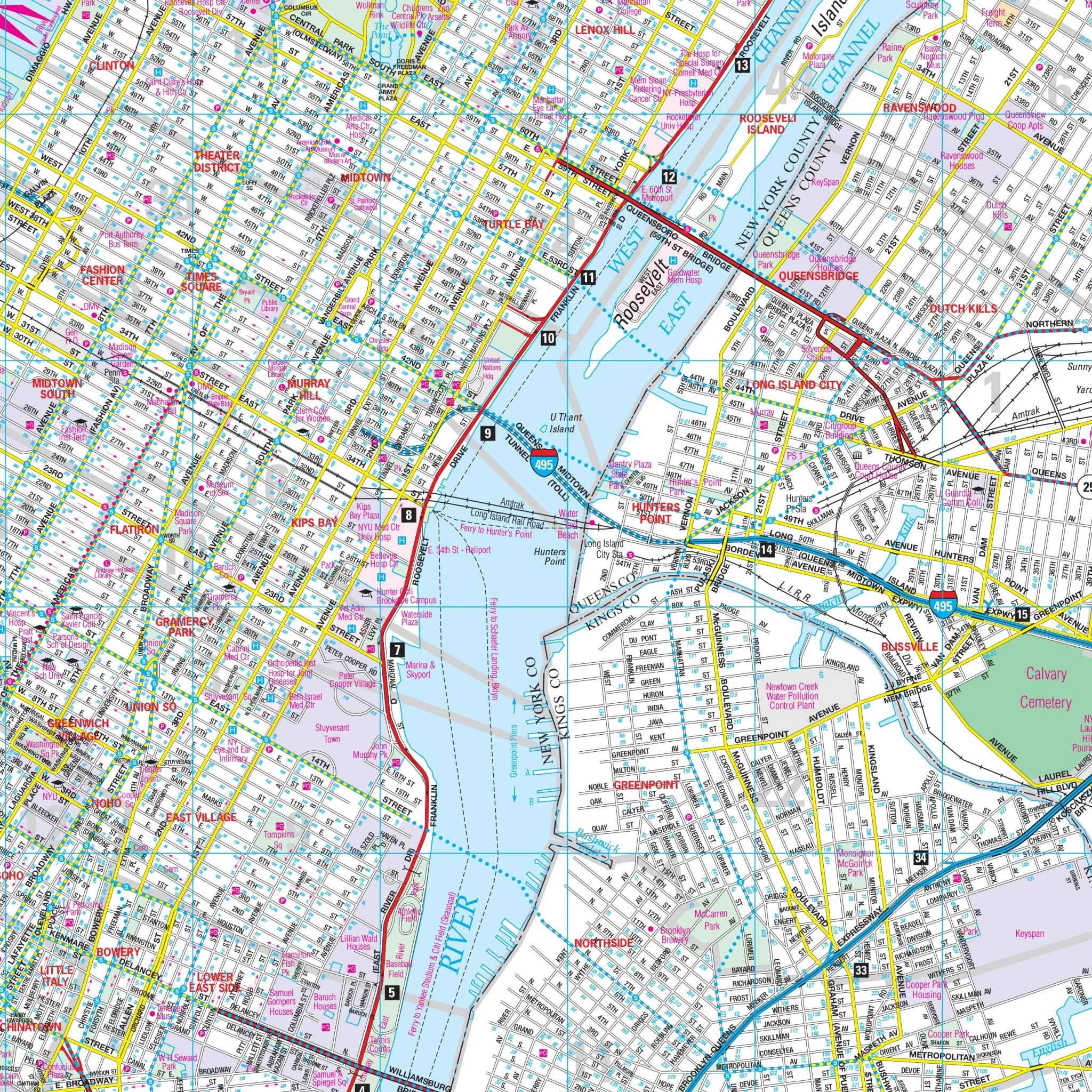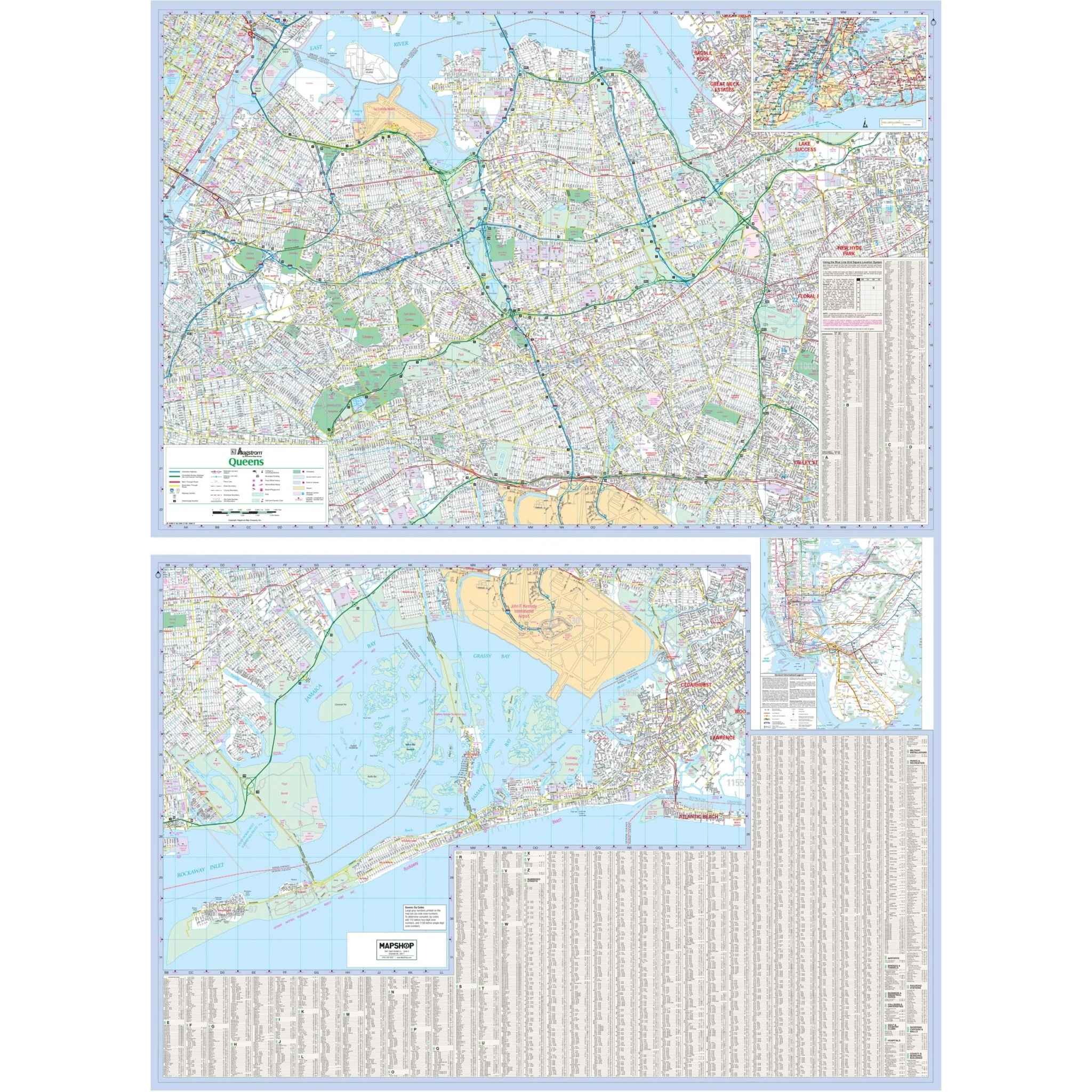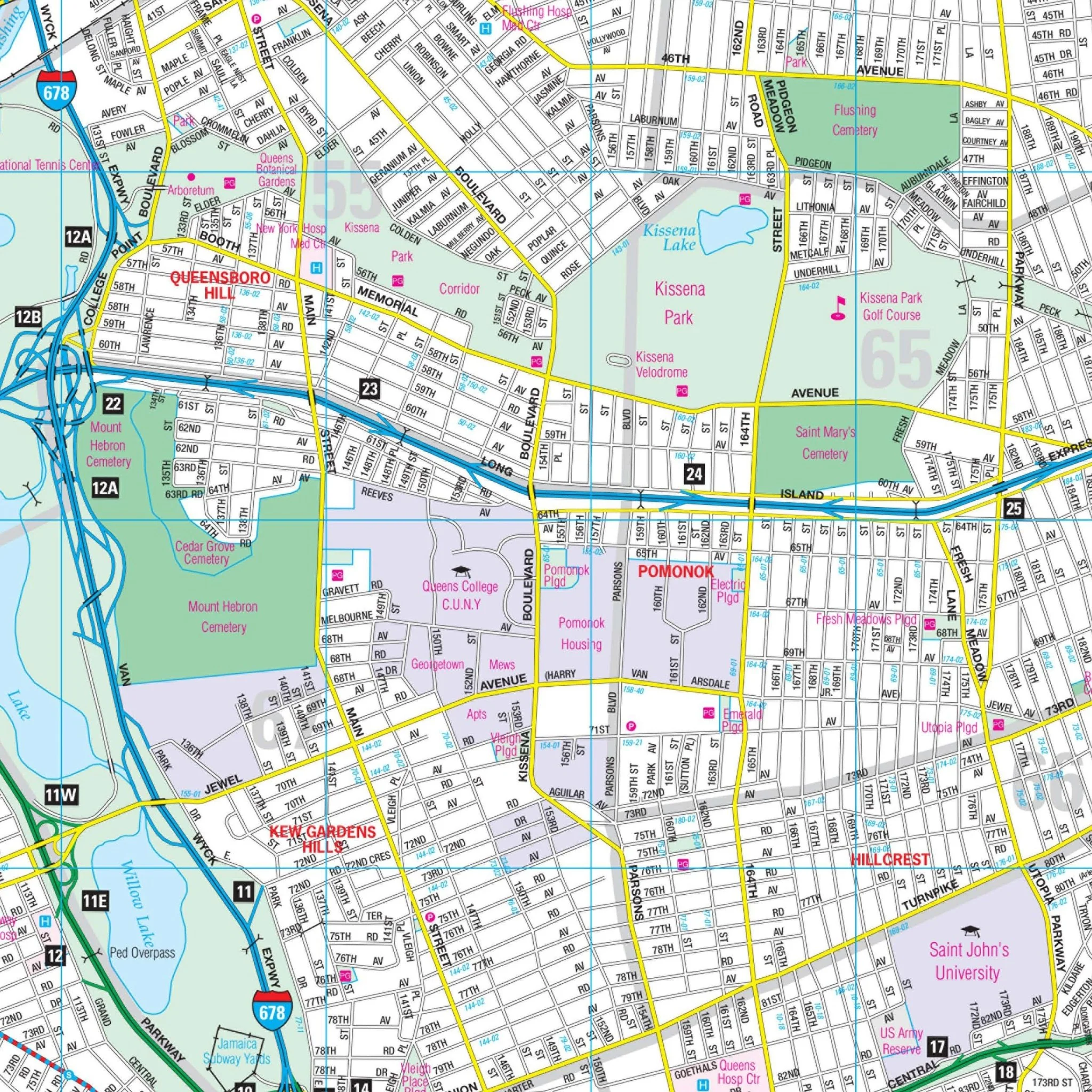


Western Suffolk County, NY Wall Map
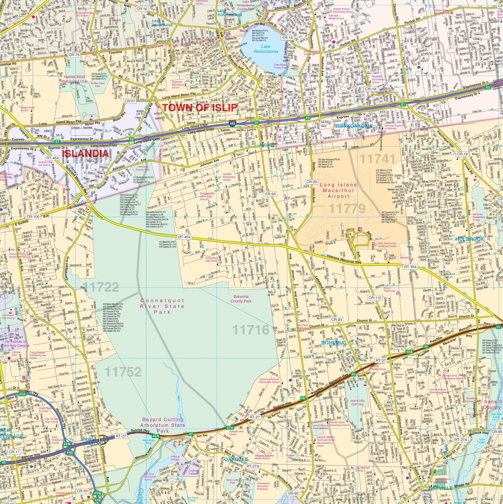
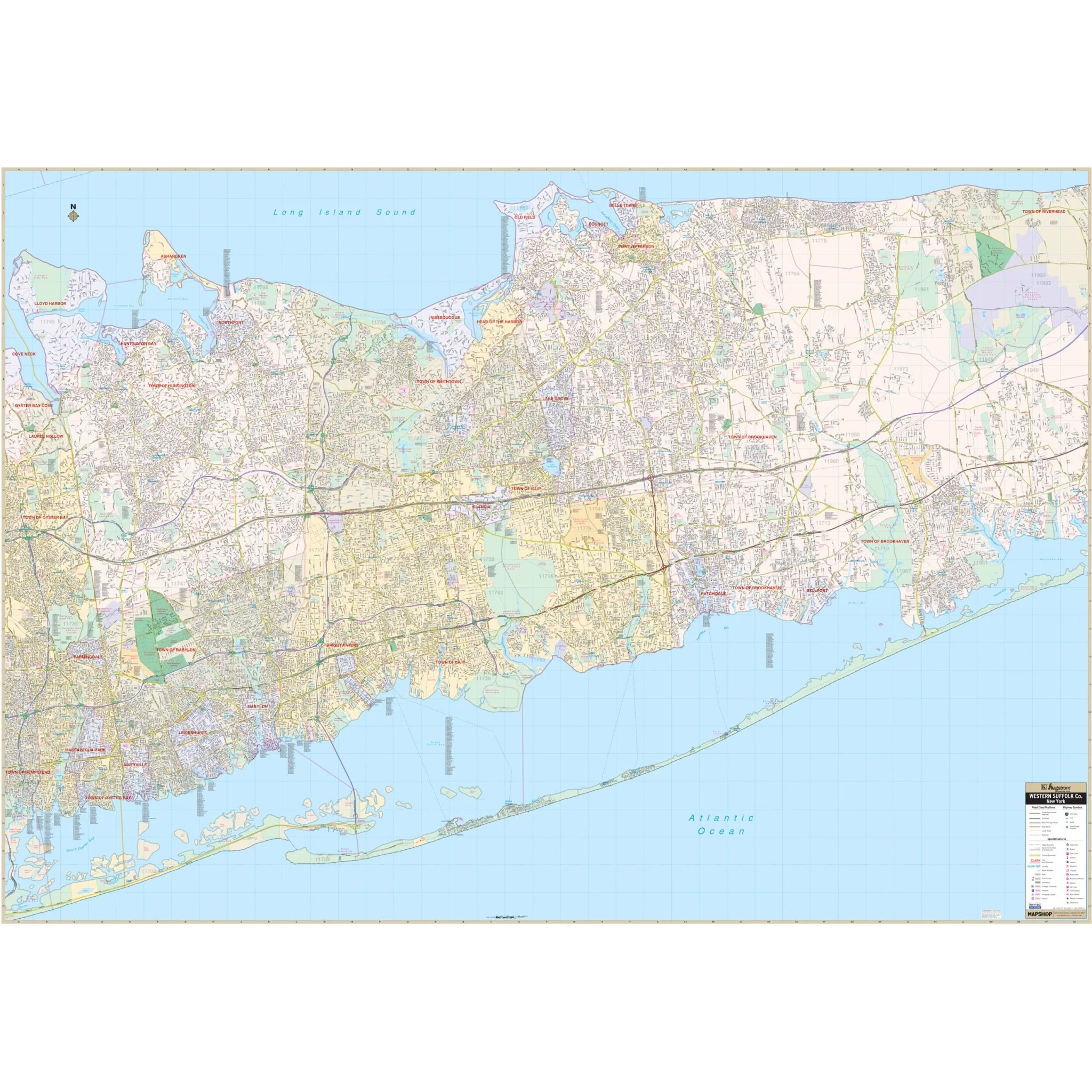
Kappa Map Group's Western Suffolk County, New York Wall Map covers the following area:
- North: Long Island Sound
- South: Atlantic Ocean
- East: Naval Weapons Industrial Plant
- West: Approximately 3 miles west of the Nassau County Line
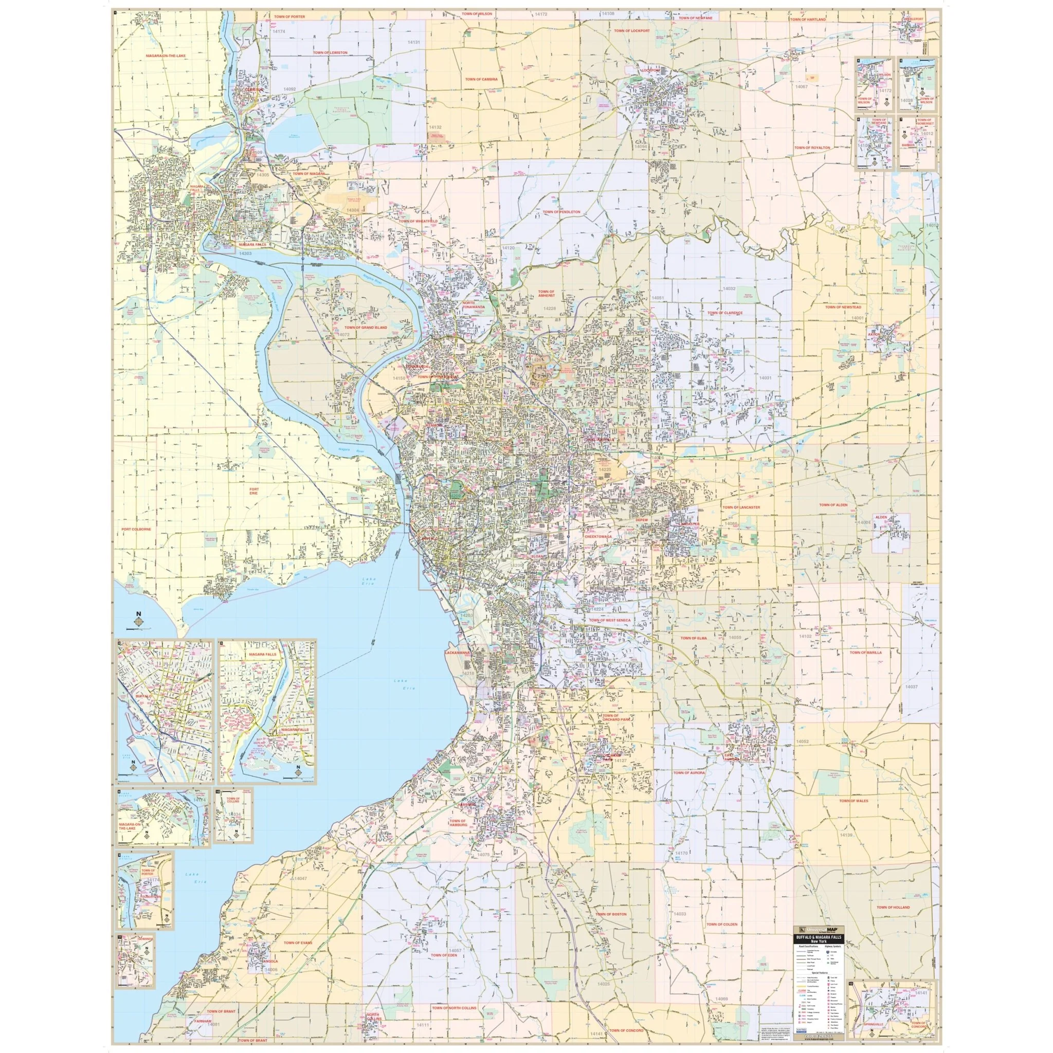
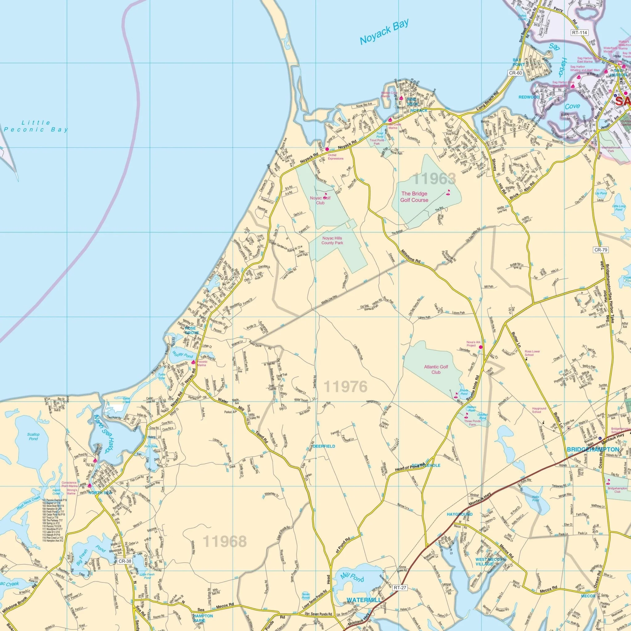
This map provides complete street detail at a scale of 1" = 2000 ft. It includes details and features such as streets, hospitals, railroads, airports, cemeteries, shopping centers, water features, recreational parks, governmental buildings, police stations, educational facilities, golf courses and country clubs, ZIP codes and boundaries, points of interest, and more.
Size: 77" x 54"
Published: 2011
Original: $149.99
-70%$149.99
$45.00Product Information
Product Information
Shipping & Returns
Shipping & Returns
Description
Kappa Map Group's Western Suffolk County, New York Wall Map covers the following area:
- North: Long Island Sound
- South: Atlantic Ocean
- East: Naval Weapons Industrial Plant
- West: Approximately 3 miles west of the Nassau County Line
This map provides complete street detail at a scale of 1" = 2000 ft. It includes details and features such as streets, hospitals, railroads, airports, cemeteries, shopping centers, water features, recreational parks, governmental buildings, police stations, educational facilities, golf courses and country clubs, ZIP codes and boundaries, points of interest, and more.
Size: 77" x 54"
Published: 2011