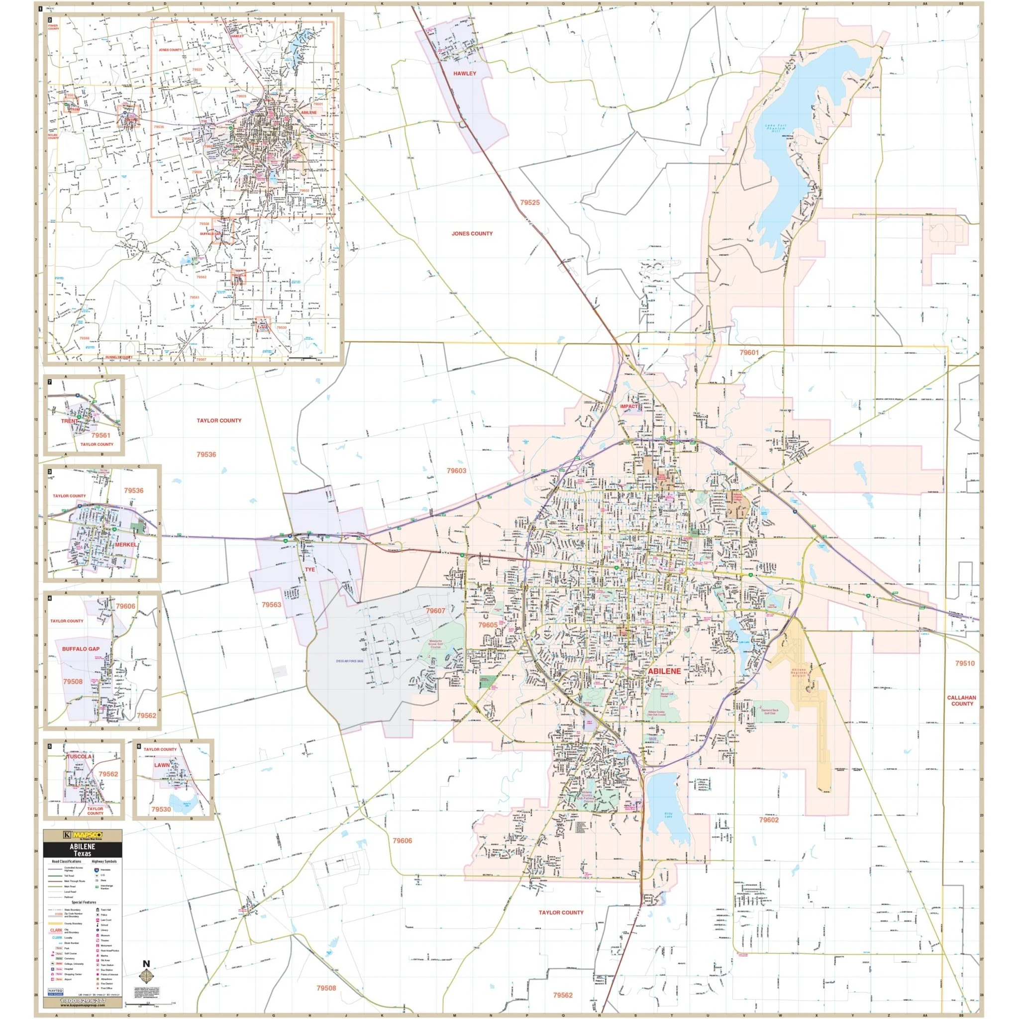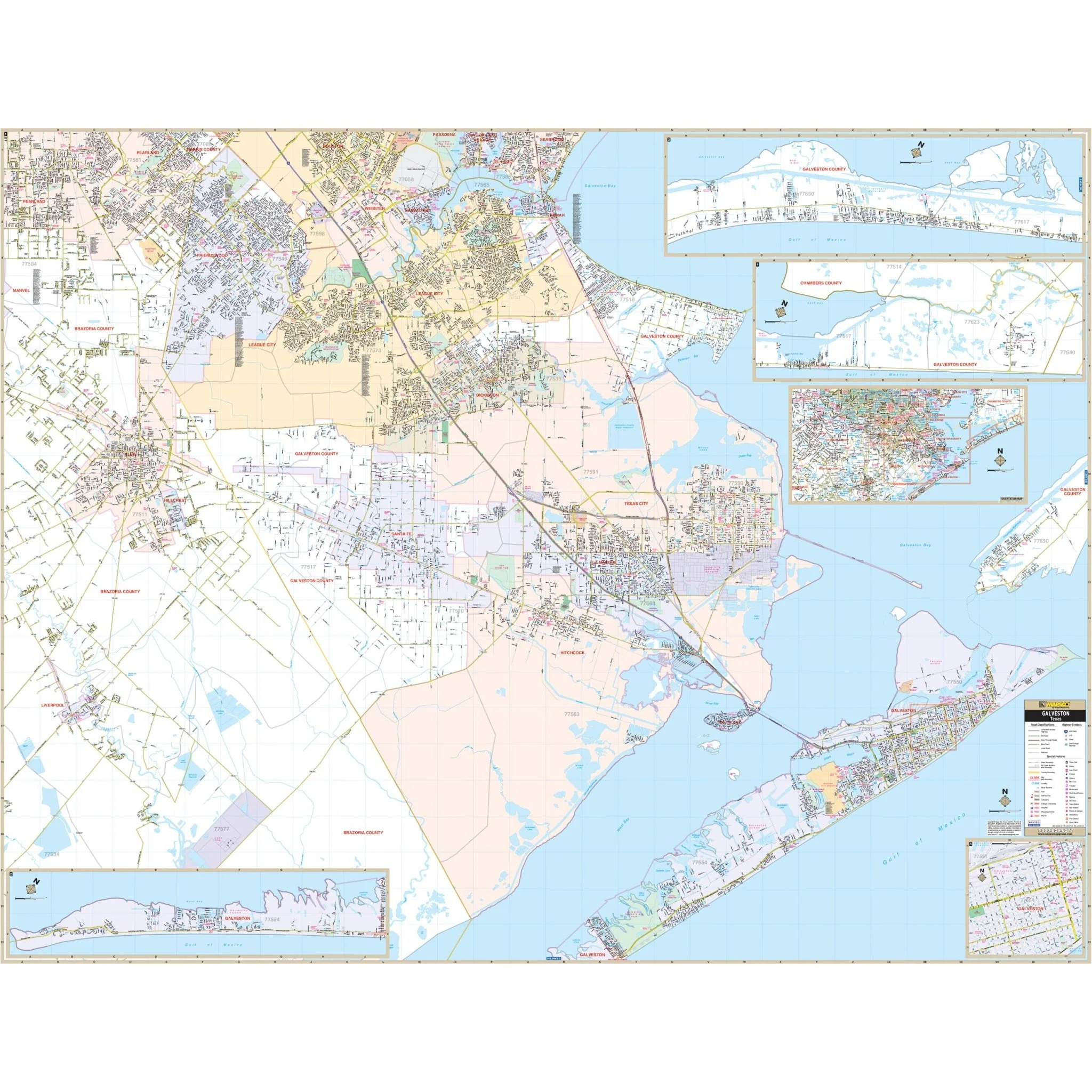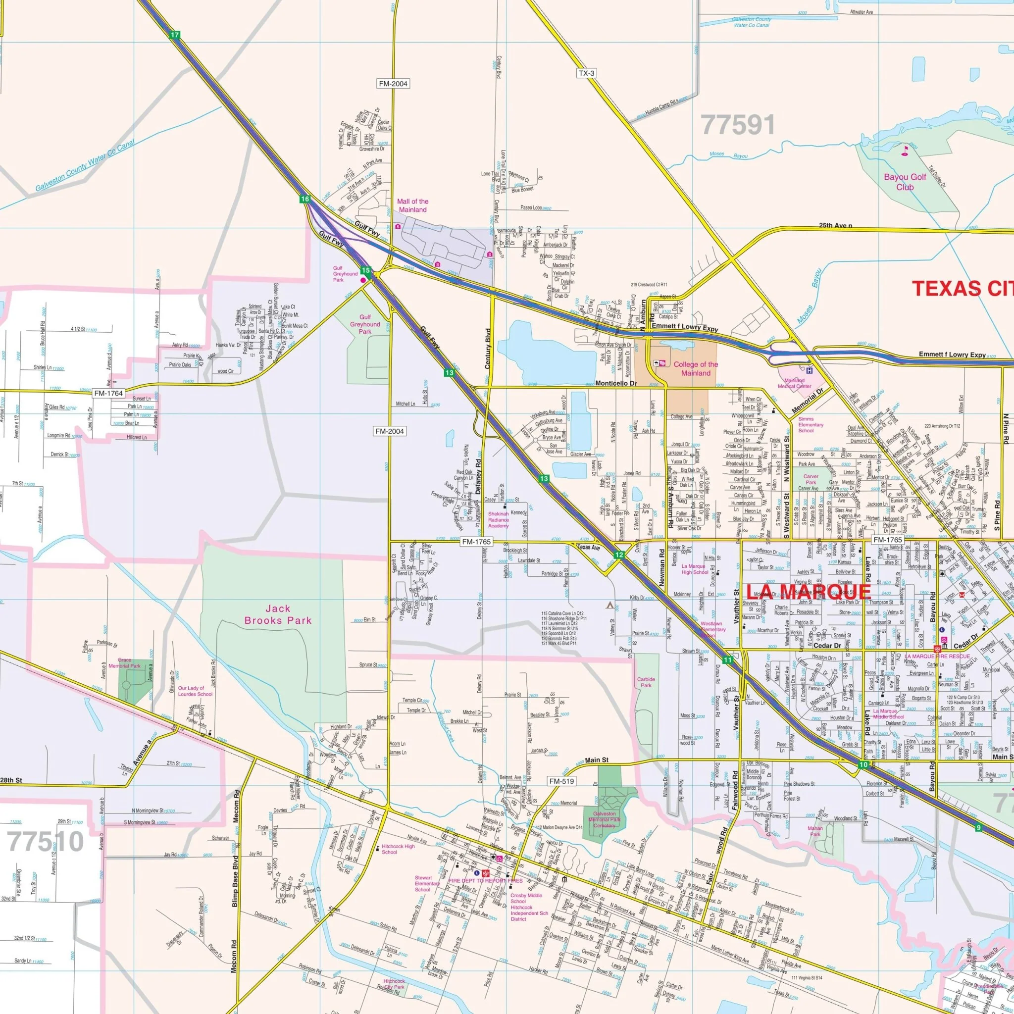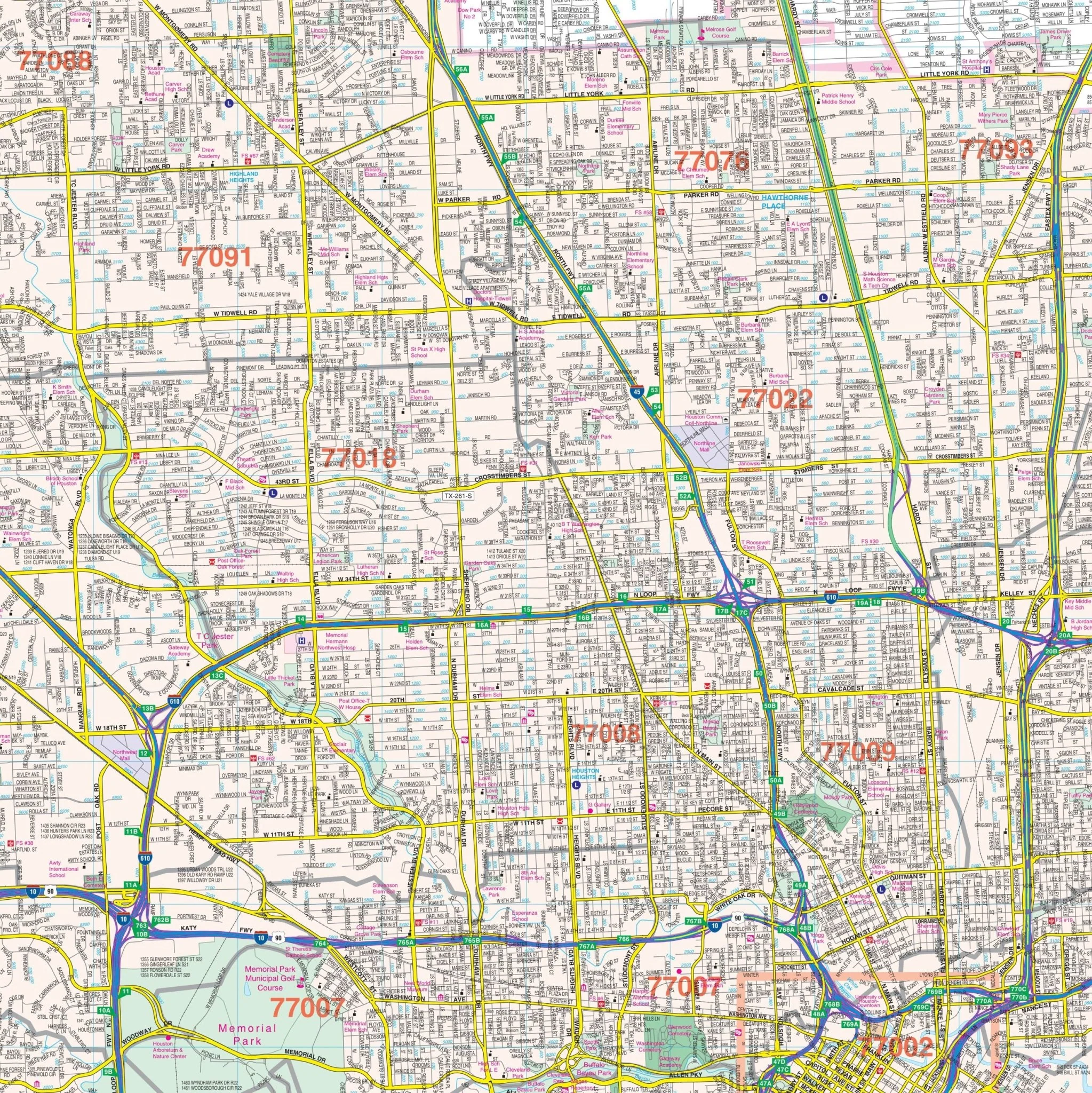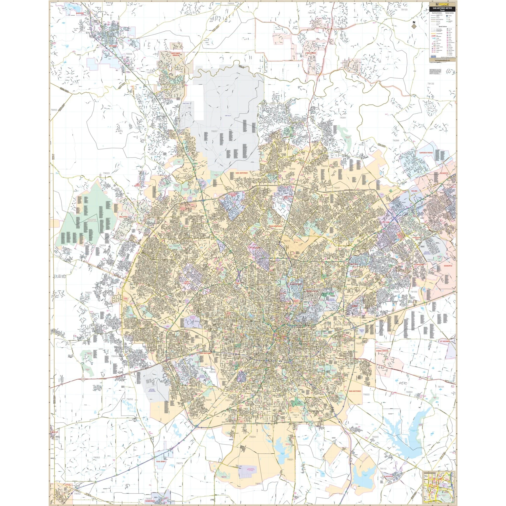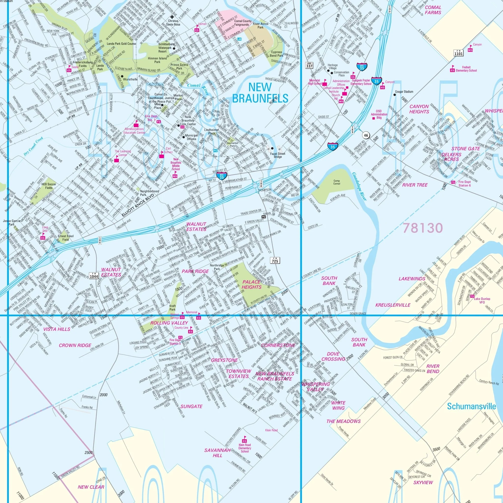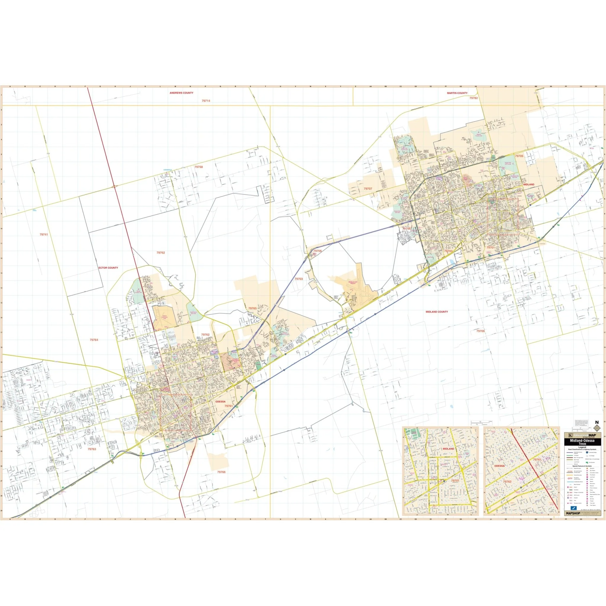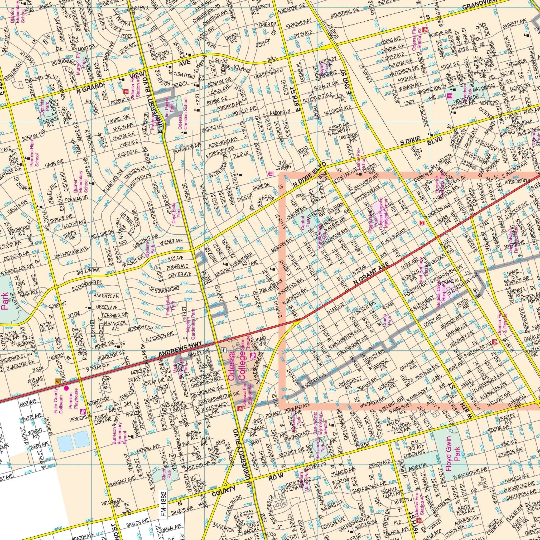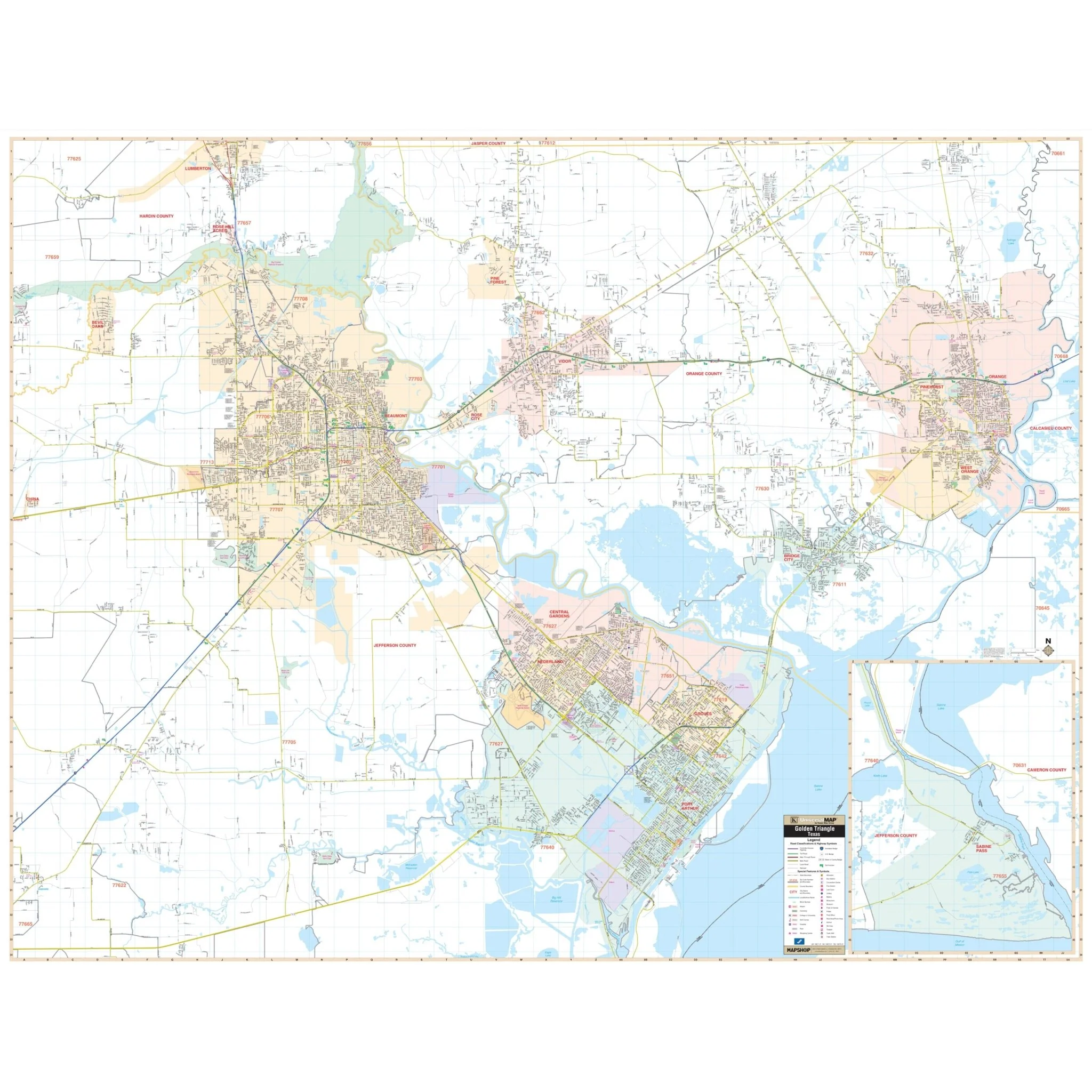


Amarillo, TX Wall Map
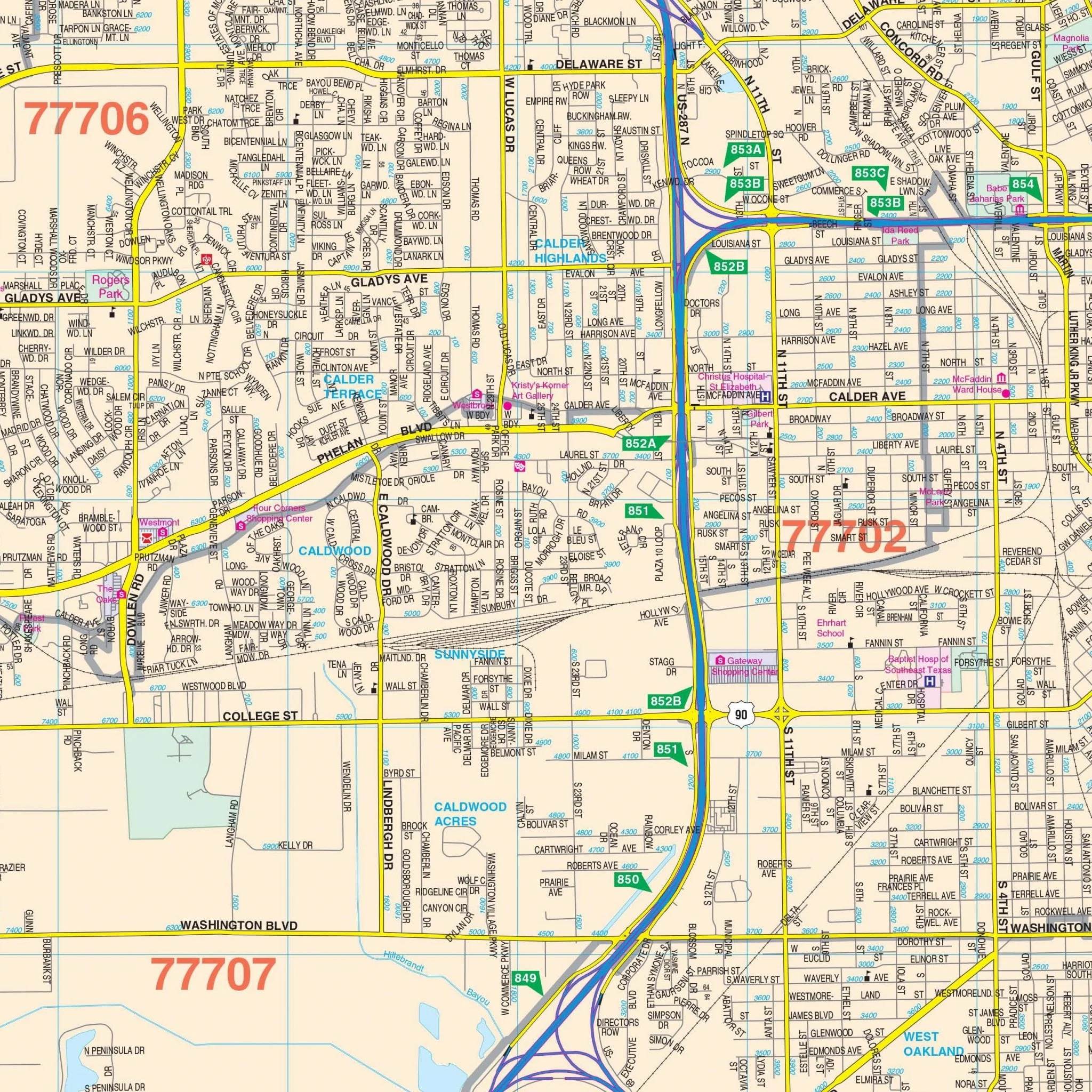
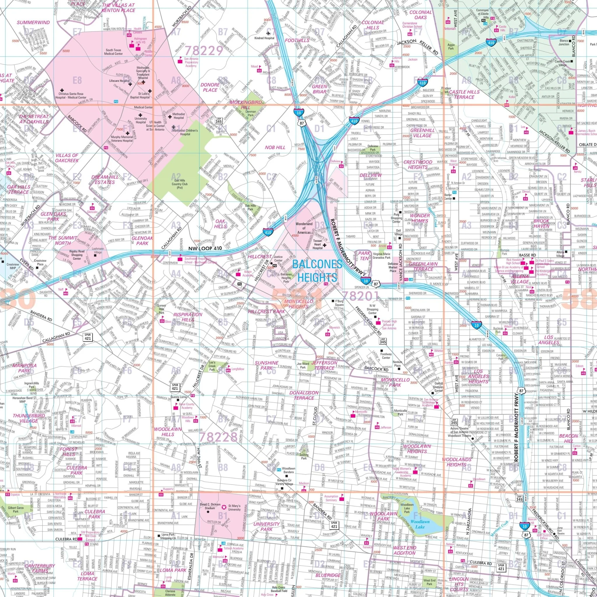
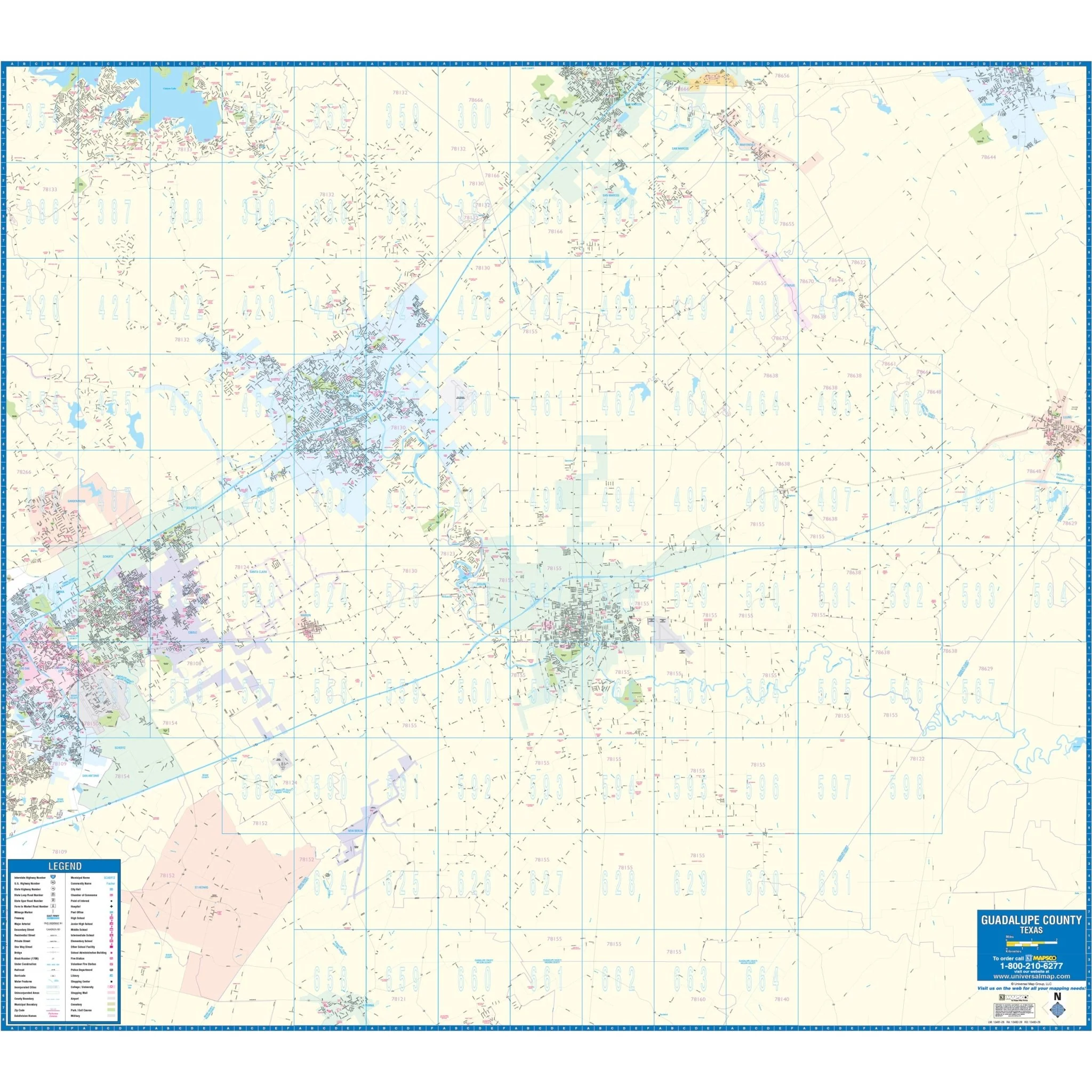
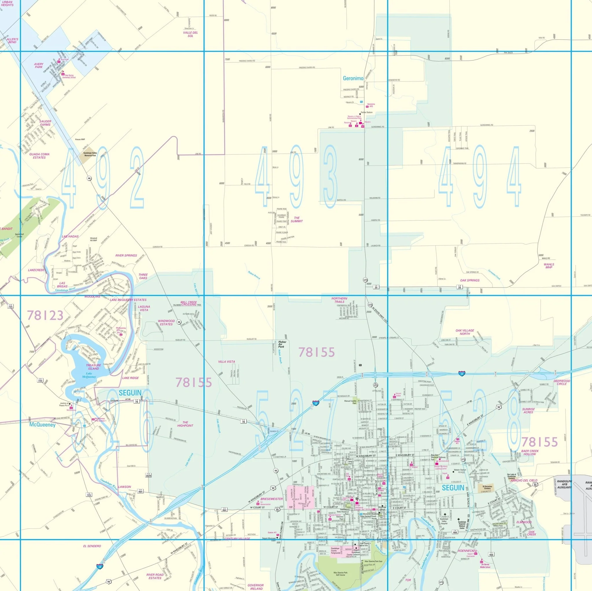
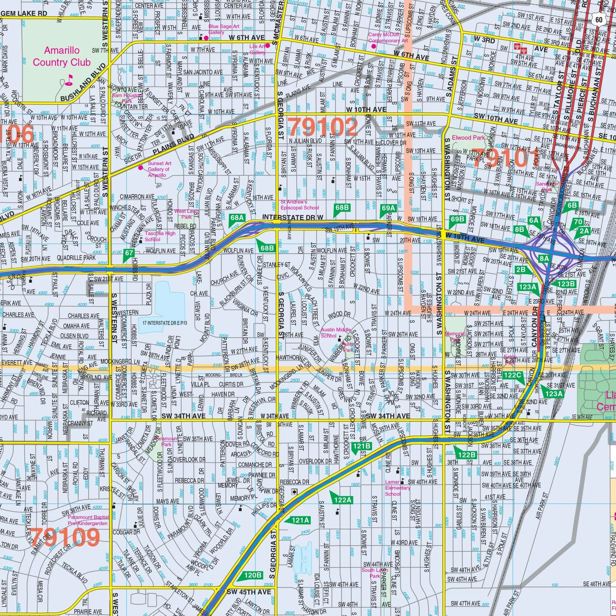
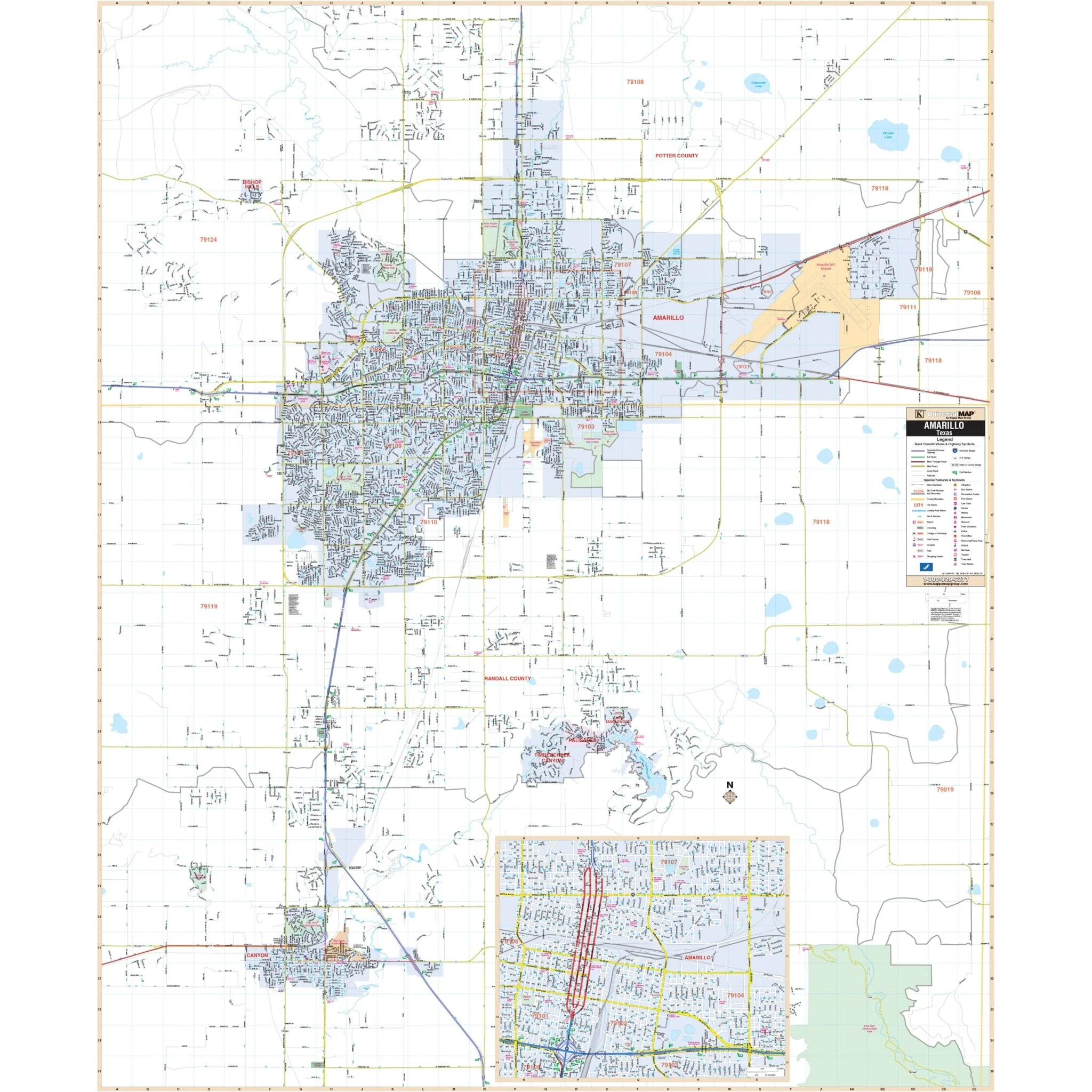
The Amarillo, TX Wall Map, along with adjacent areas, offers comprehensive coverage in complete street detail. The area it covers includes the following boundaries:
- North: Extends to two miles outside the Amarillo city limits
- South: Covers the City of Canyon
- East: Reaches up to the Amarillo International Airport
- West: Extends to four miles outside the Amarillo city limits, including Arnot Rd
In addition to this coverage, the Amarillo, TX Wall Map also features an inset of Downtown Amarillo. Details found on the map include information about streets, airports, government buildings, post offices, cemeteries, fire and police stations, hospitals, shopping centers, educational institutions, railroads, water features, golf and country clubs, mileage circles, recreational parks, ZIP codes and boundaries, as well as block numbers.
Size: 52" x 63"
Published: 2014
Original: $139.99
-70%$139.99
$42.00Product Information
Product Information
Shipping & Returns
Shipping & Returns
Description
The Amarillo, TX Wall Map, along with adjacent areas, offers comprehensive coverage in complete street detail. The area it covers includes the following boundaries:
- North: Extends to two miles outside the Amarillo city limits
- South: Covers the City of Canyon
- East: Reaches up to the Amarillo International Airport
- West: Extends to four miles outside the Amarillo city limits, including Arnot Rd
In addition to this coverage, the Amarillo, TX Wall Map also features an inset of Downtown Amarillo. Details found on the map include information about streets, airports, government buildings, post offices, cemeteries, fire and police stations, hospitals, shopping centers, educational institutions, railroads, water features, golf and country clubs, mileage circles, recreational parks, ZIP codes and boundaries, as well as block numbers.
Size: 52" x 63"
Published: 2014