


Midland & Odessa, TX Wall Map
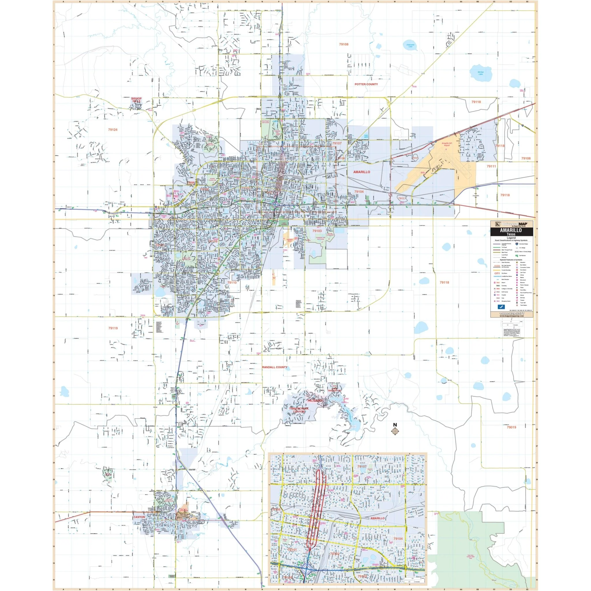
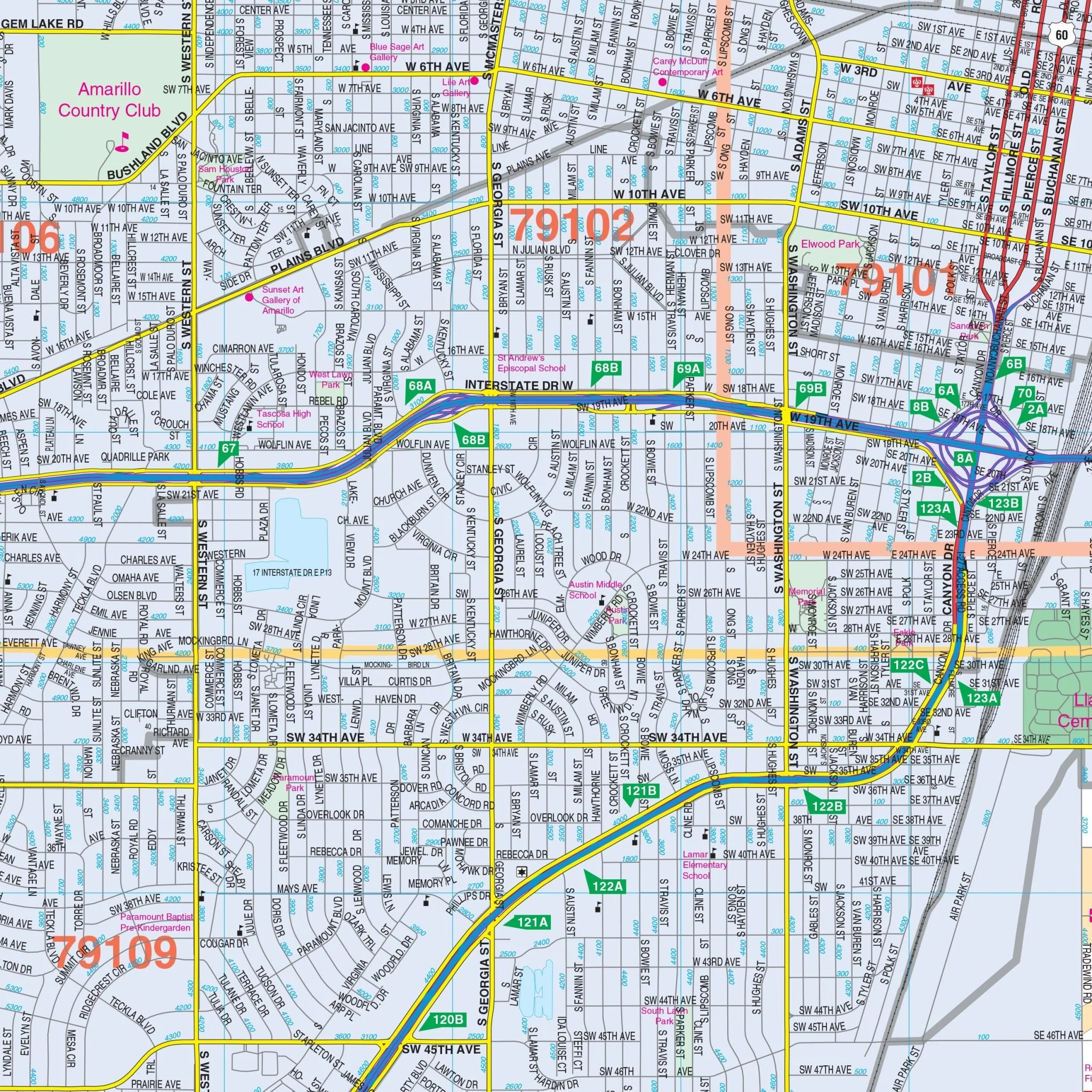
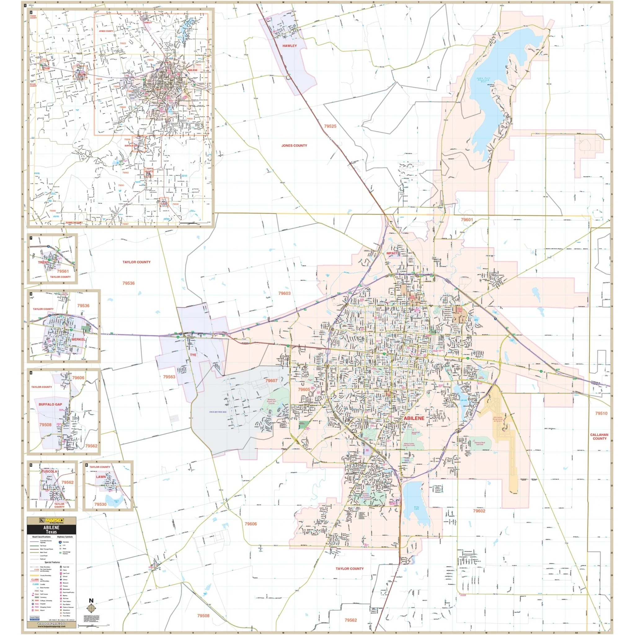
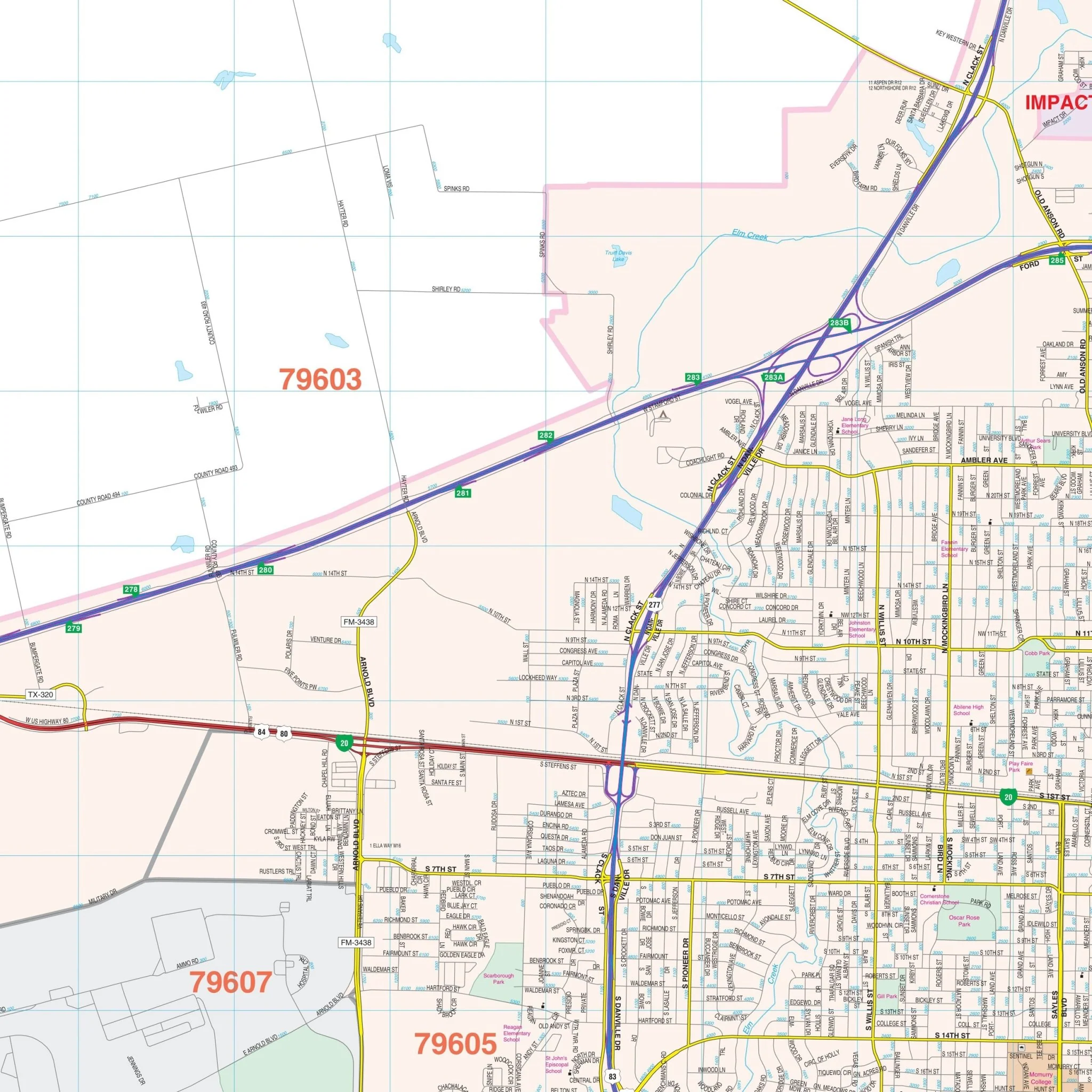
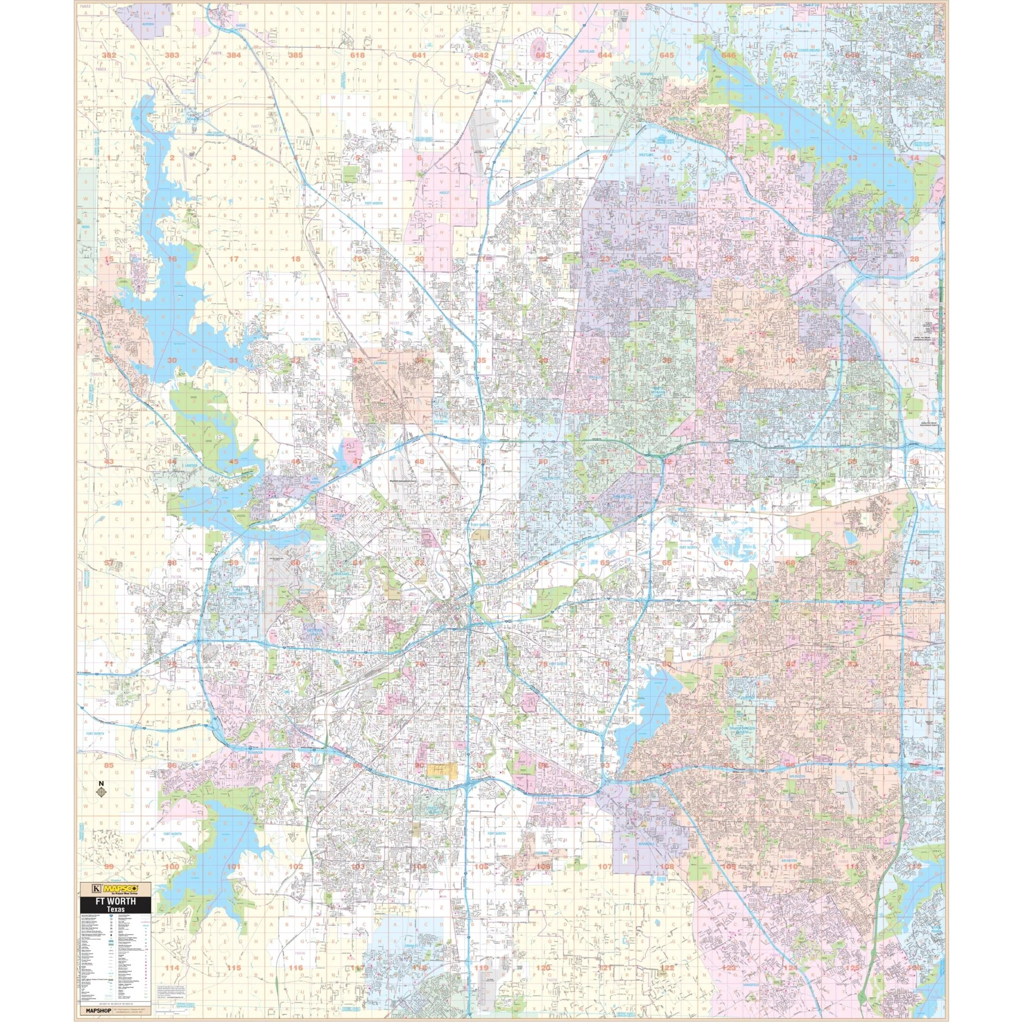
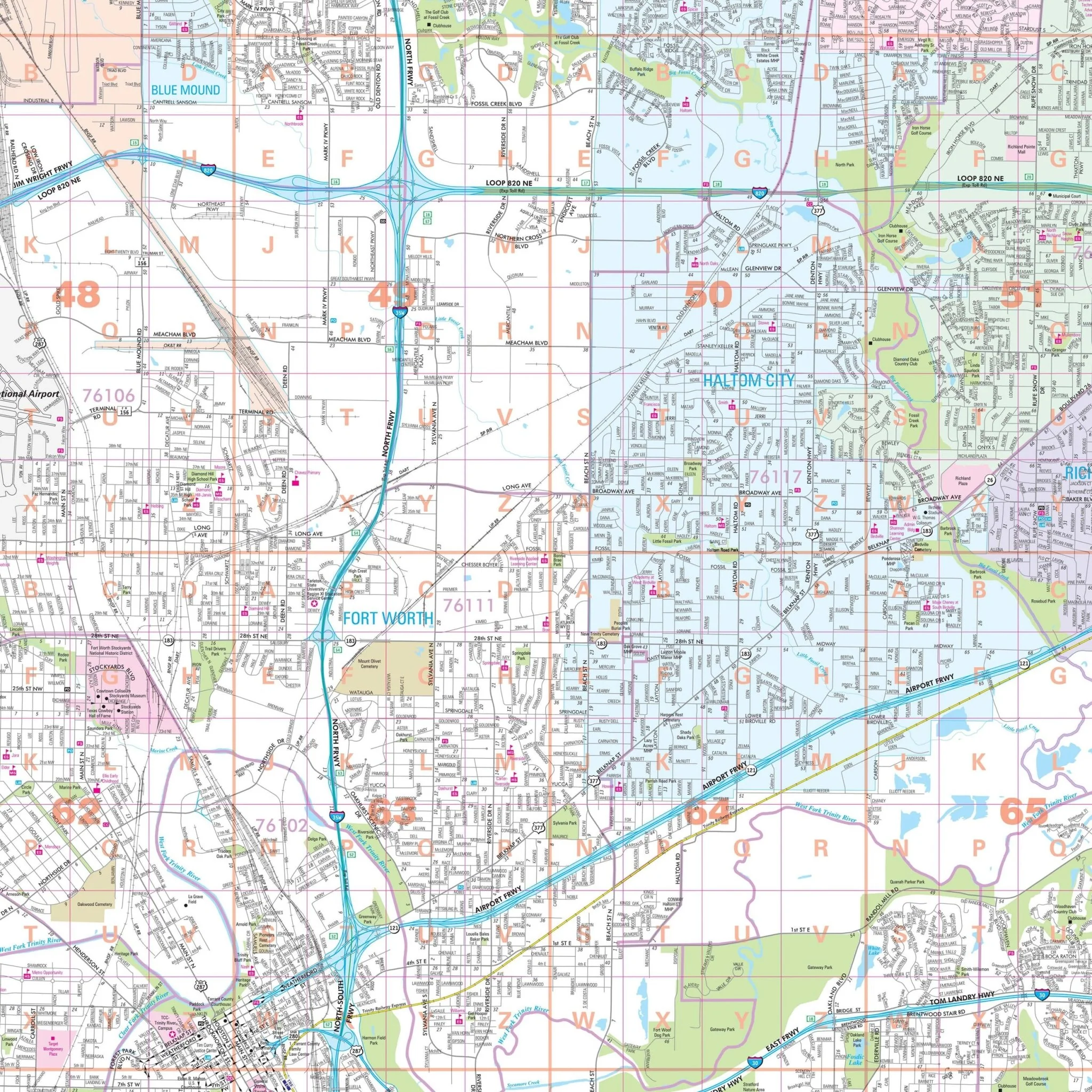
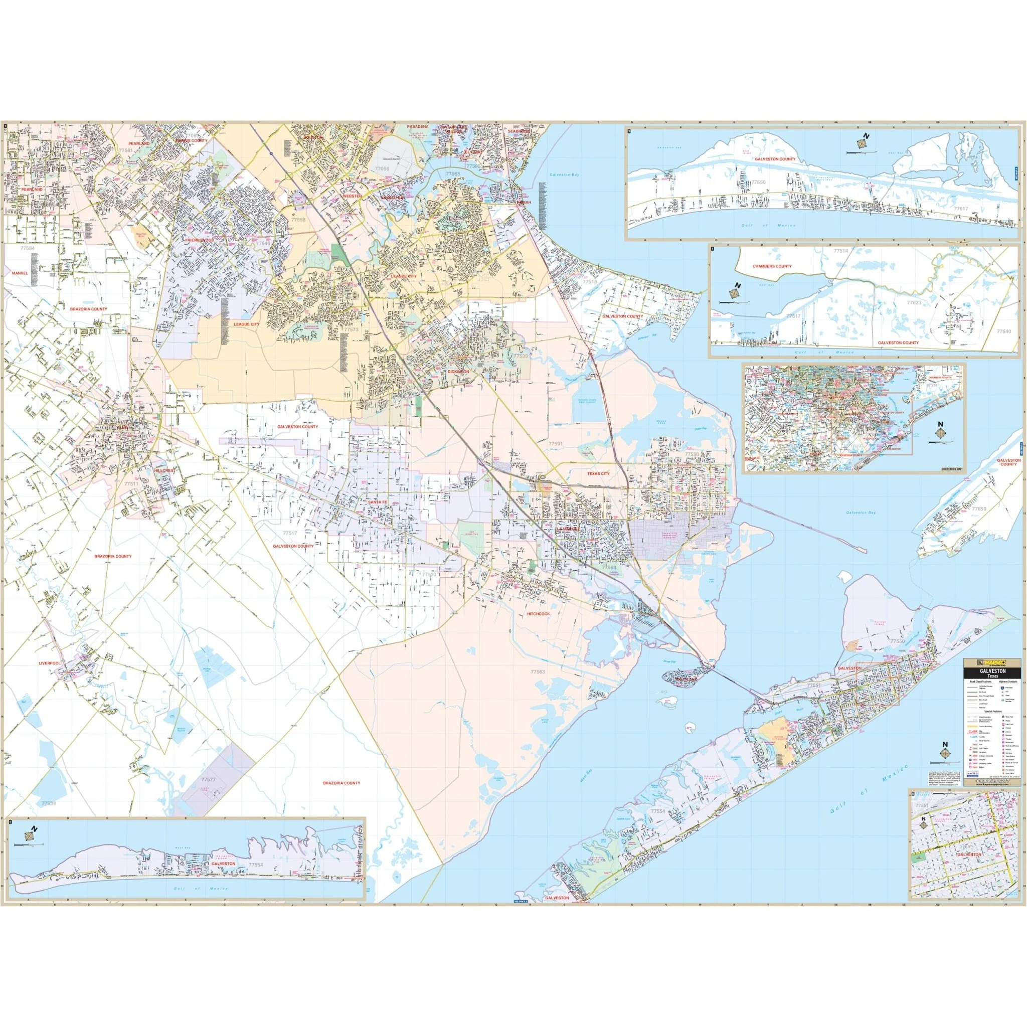
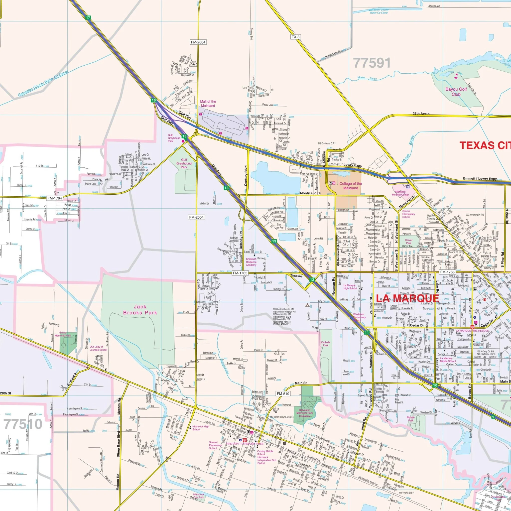
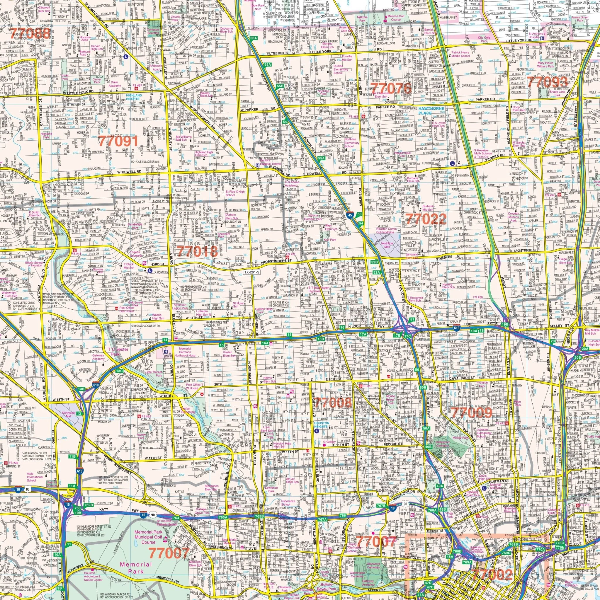
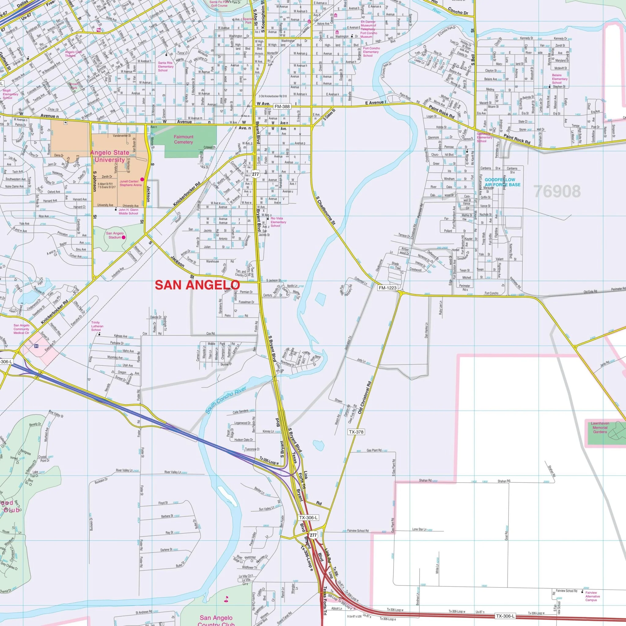
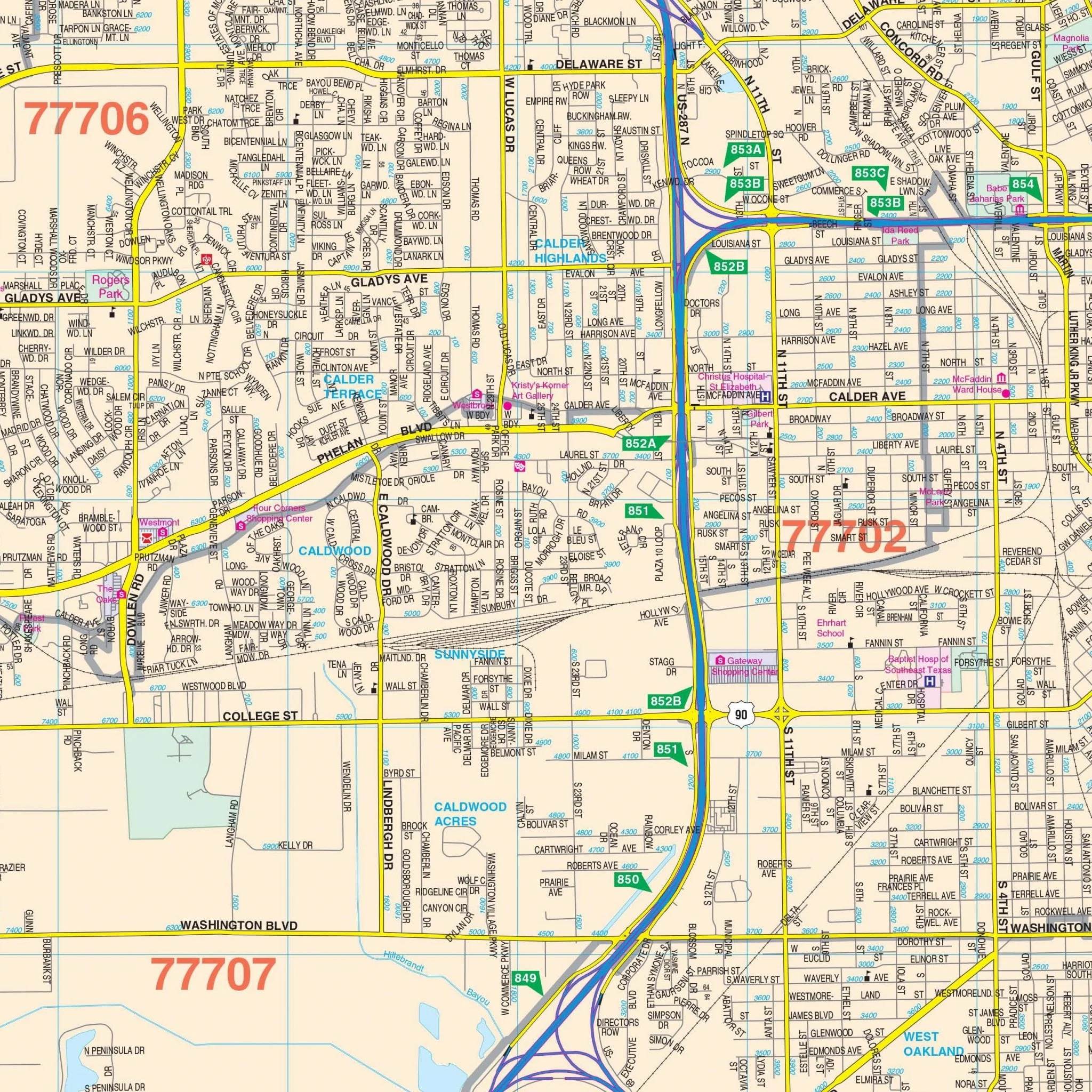
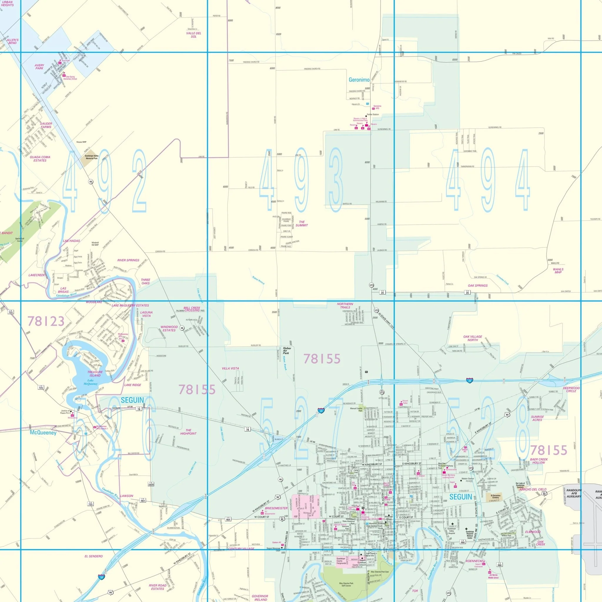
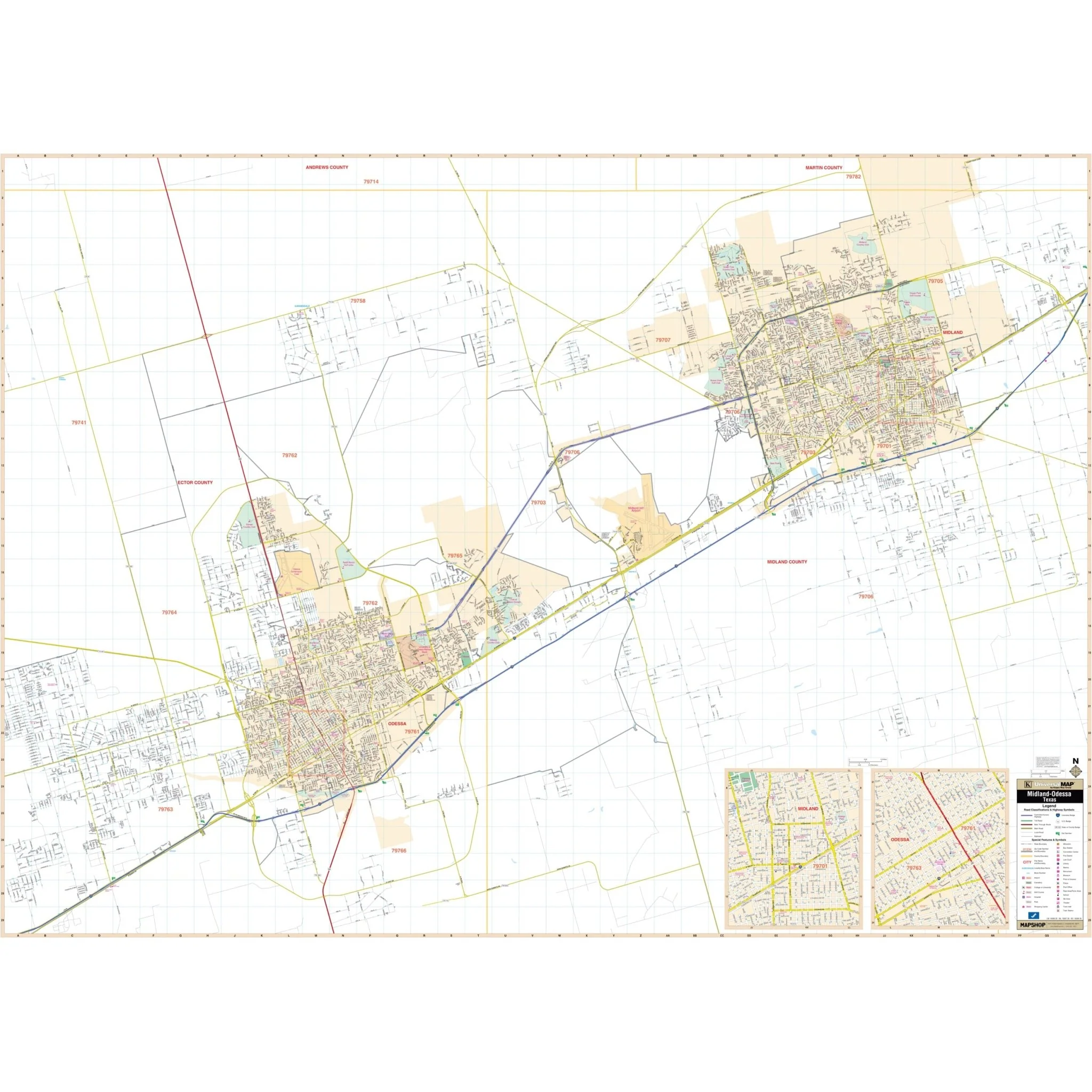
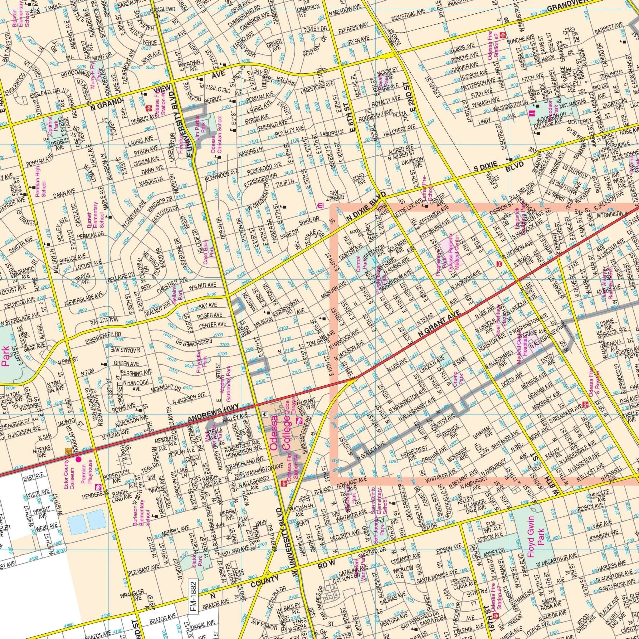
The Midland and Odessa, TX Wall Map, with adjacent areas, offers complete street detail without specific measurements. The area of coverage includes all of Midland and Odessa, with the following boundaries:
- North: Midland-Martin and Ector-Andrews County lines
- South: E Loop 338 and Dora Roberts Road
- East: Intersection of I-20 and TX-250 S Loop
- West: Odessa and past Moss Ave
The map also includes inset maps of Downtown Midland and Downtown Odessa. Details and features include airports, block numbers, cemeteries, city limits (color-coded), educational institutions, fire and police stations, golf and country clubs, government buildings, hospitals, libraries, points of interest, post offices, railroads, recreational parks, shopping centers, streets and highways, water features, and ZIP code boundaries.
Size: 72" x 52"
Published: 2013
Original: $149.99
-70%$149.99
$45.00Product Information
Product Information
Shipping & Returns
Shipping & Returns
Description
The Midland and Odessa, TX Wall Map, with adjacent areas, offers complete street detail without specific measurements. The area of coverage includes all of Midland and Odessa, with the following boundaries:
- North: Midland-Martin and Ector-Andrews County lines
- South: E Loop 338 and Dora Roberts Road
- East: Intersection of I-20 and TX-250 S Loop
- West: Odessa and past Moss Ave
The map also includes inset maps of Downtown Midland and Downtown Odessa. Details and features include airports, block numbers, cemeteries, city limits (color-coded), educational institutions, fire and police stations, golf and country clubs, government buildings, hospitals, libraries, points of interest, post offices, railroads, recreational parks, shopping centers, streets and highways, water features, and ZIP code boundaries.
Size: 72" x 52"
Published: 2013