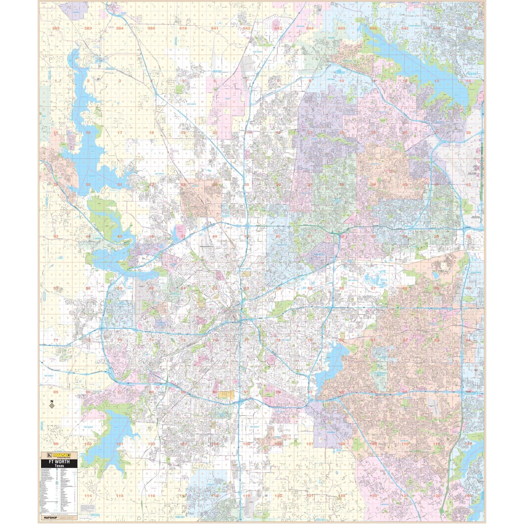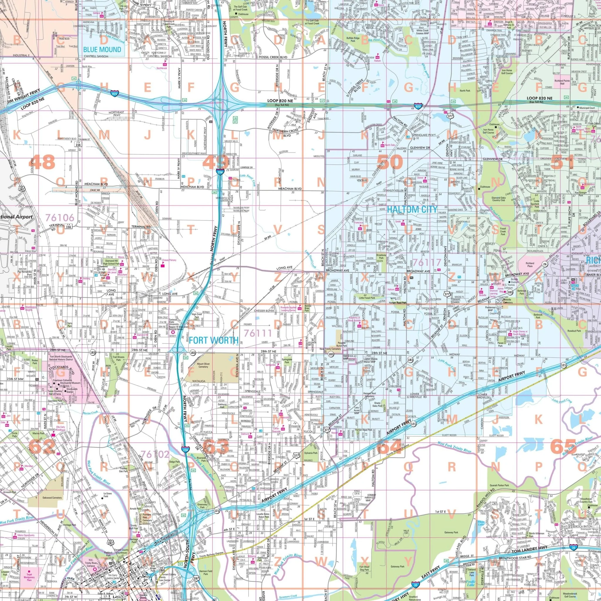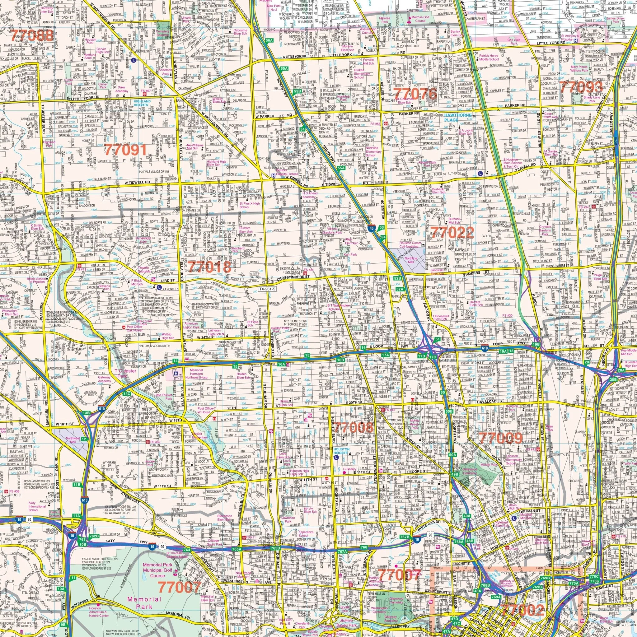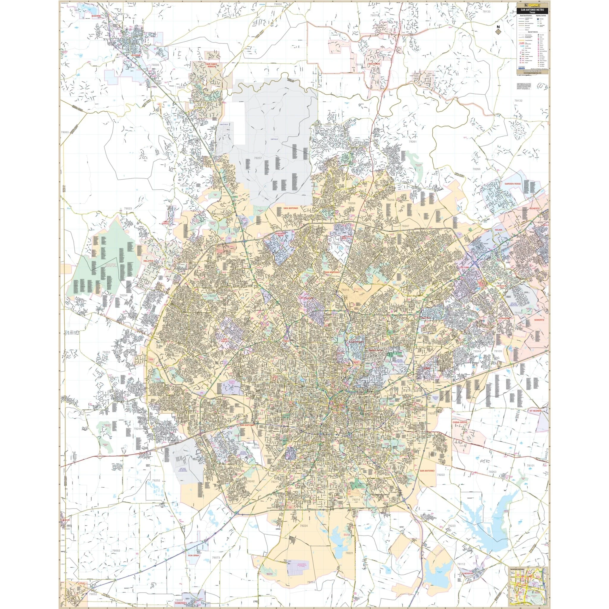


Galveston, TX Wall Map
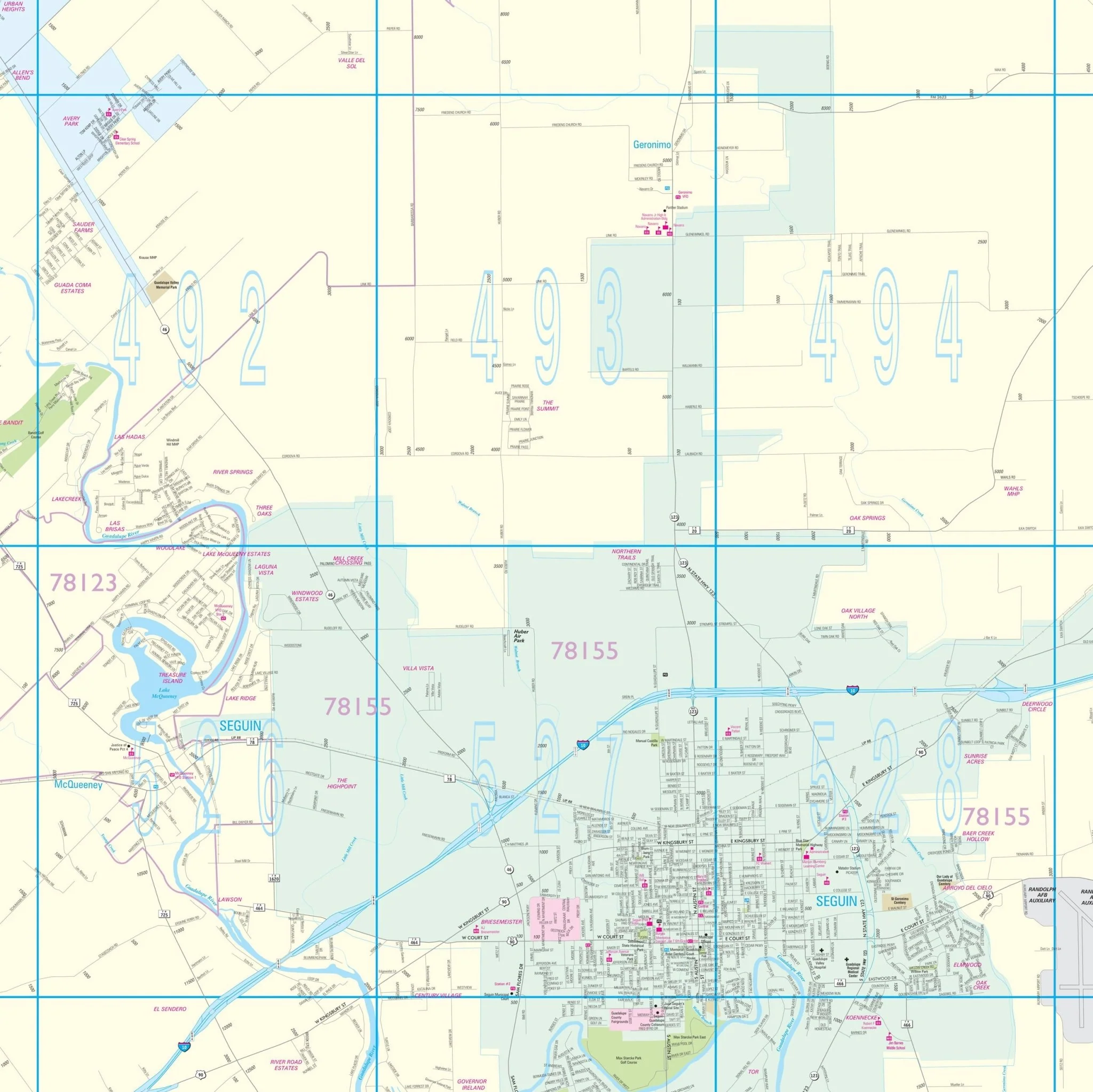
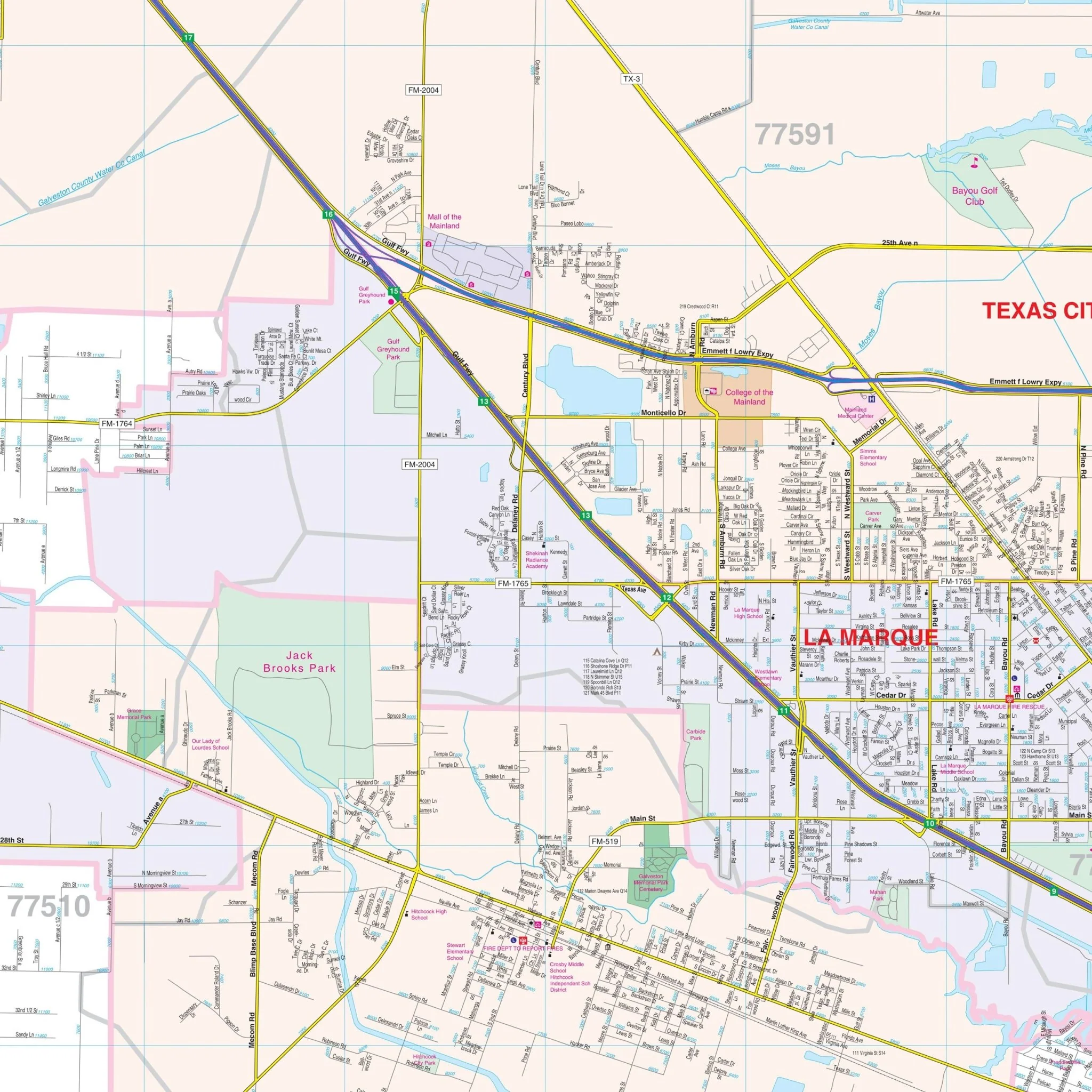
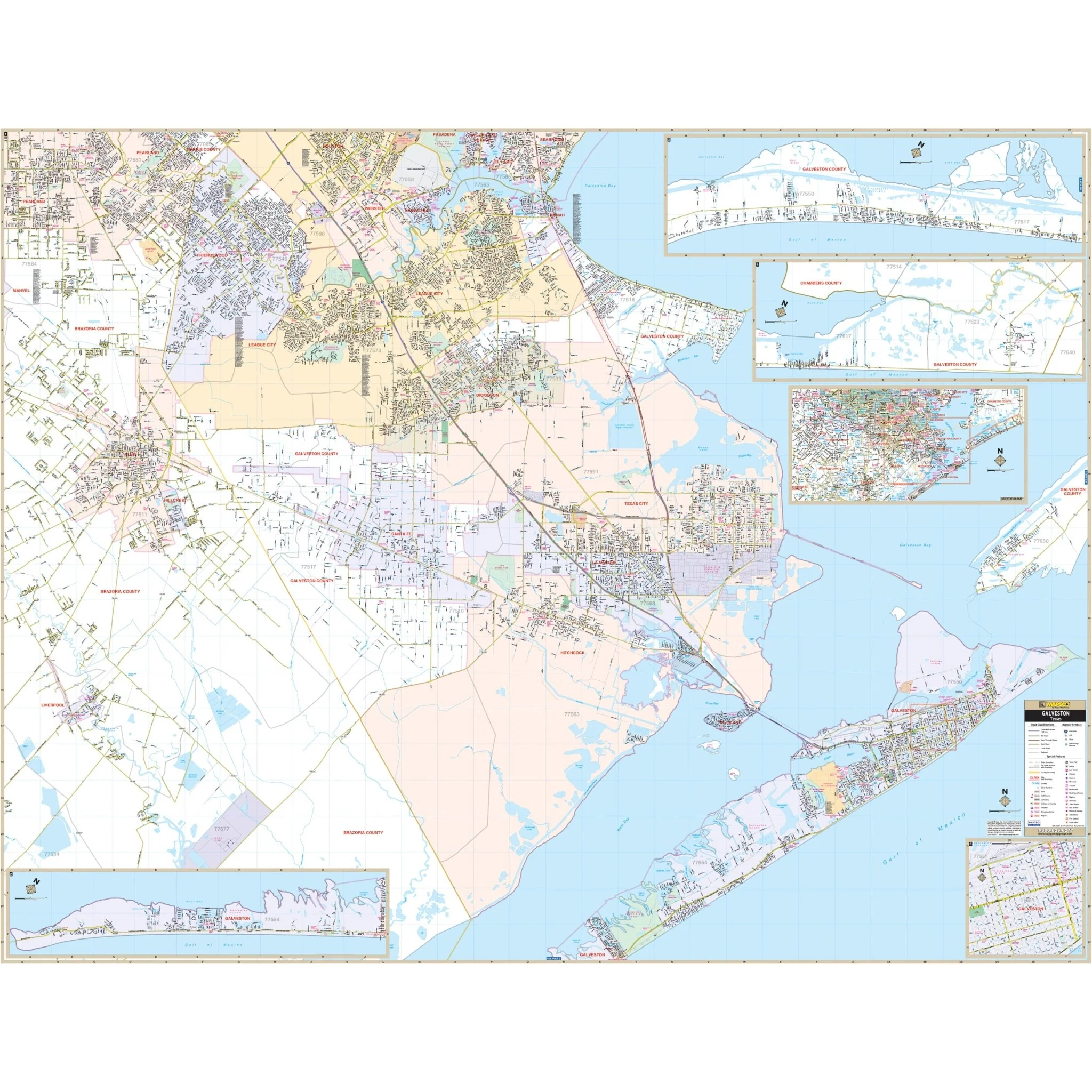
The Galveston, TX Wall Map covers the following area:
- North: Lyndon B Johnson Space Center
- South: Galveston Island
- East: High Island and the Galveston County line
- West: Alvin and Liverpool in Brazoria County
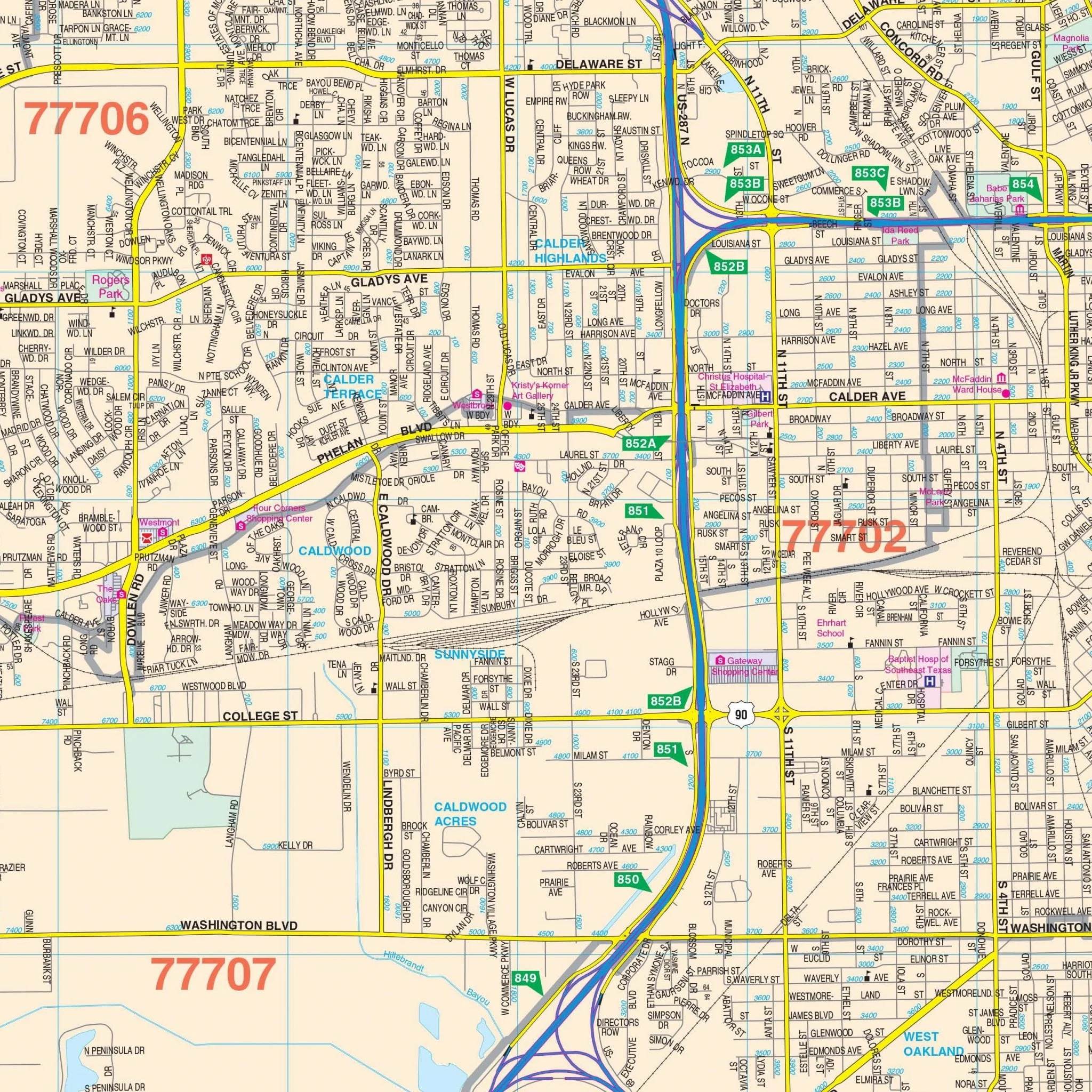
Details and features depicted on the map include airports, block numbers, cemeteries, city limits, educational institutions, fire and police stations, golf and country clubs, government buildings, hospitals, libraries, points of interest, post offices, railroads, recreational parks, shopping centers, streets and highways, water features, and ZIP code boundaries.
Size: 74" x 57"
Published: 2014
Original: $149.99
-70%$149.99
$45.00Product Information
Product Information
Shipping & Returns
Shipping & Returns
Description
The Galveston, TX Wall Map covers the following area:
- North: Lyndon B Johnson Space Center
- South: Galveston Island
- East: High Island and the Galveston County line
- West: Alvin and Liverpool in Brazoria County
Details and features depicted on the map include airports, block numbers, cemeteries, city limits, educational institutions, fire and police stations, golf and country clubs, government buildings, hospitals, libraries, points of interest, post offices, railroads, recreational parks, shopping centers, streets and highways, water features, and ZIP code boundaries.
Size: 74" x 57"
Published: 2014