


San Angelo, TX Wall Map
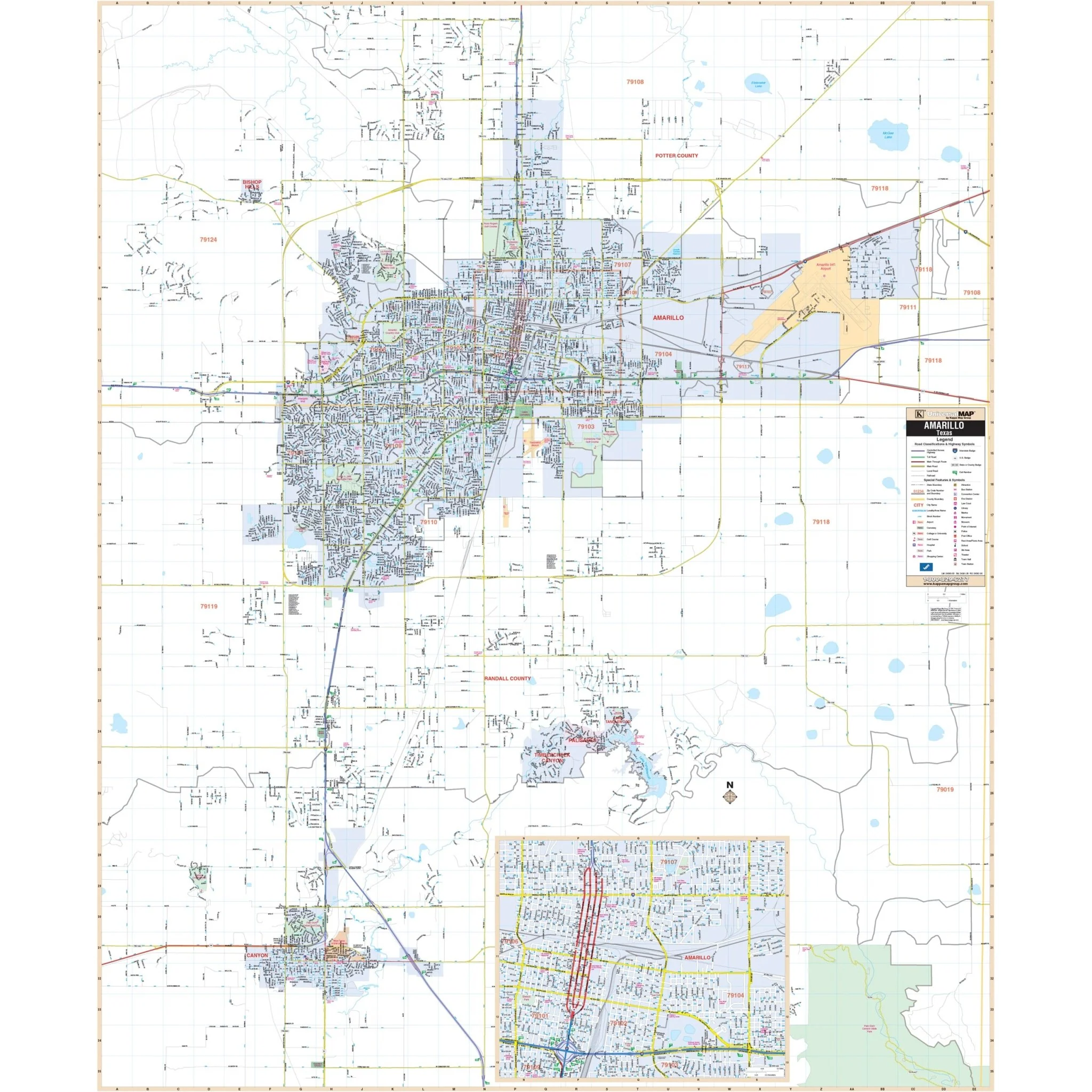
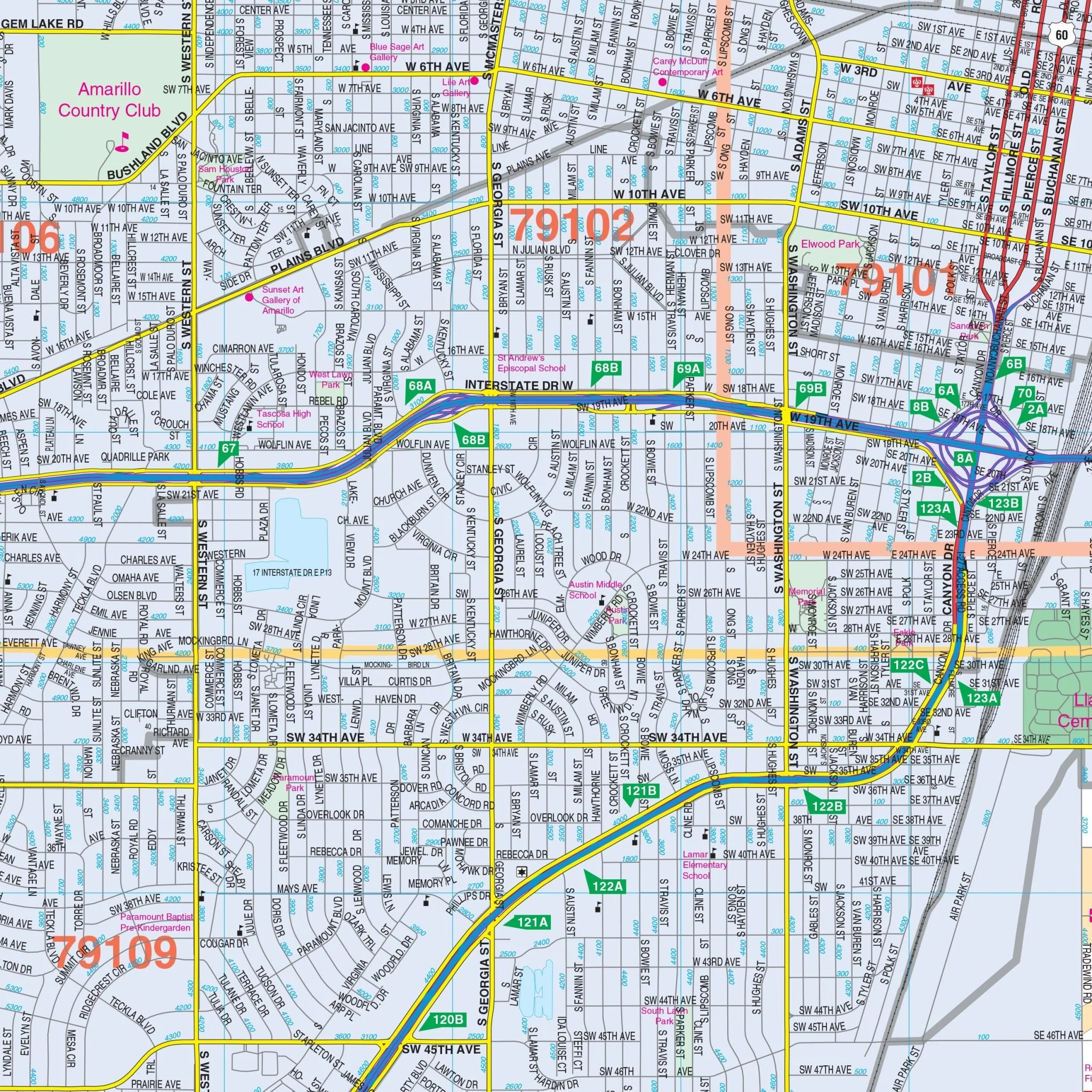
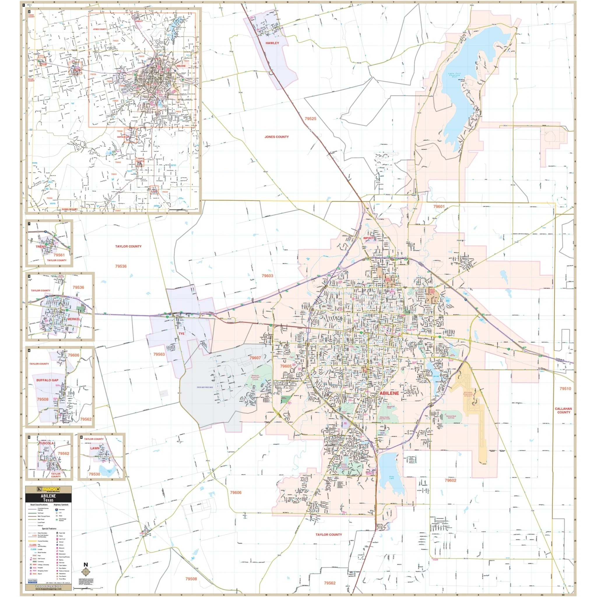
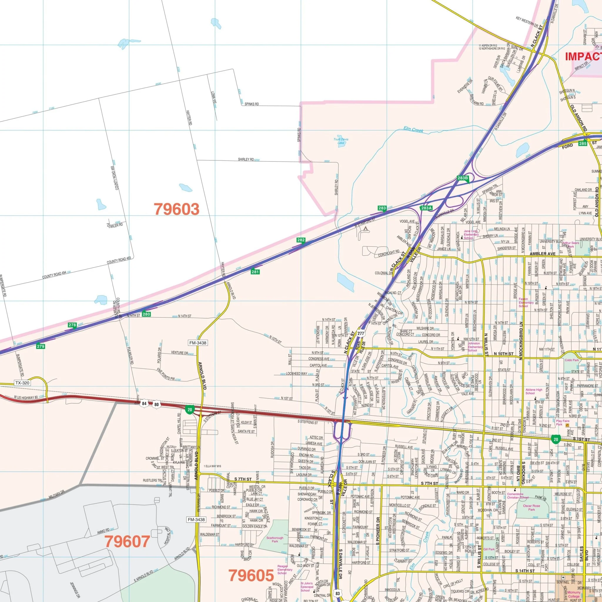
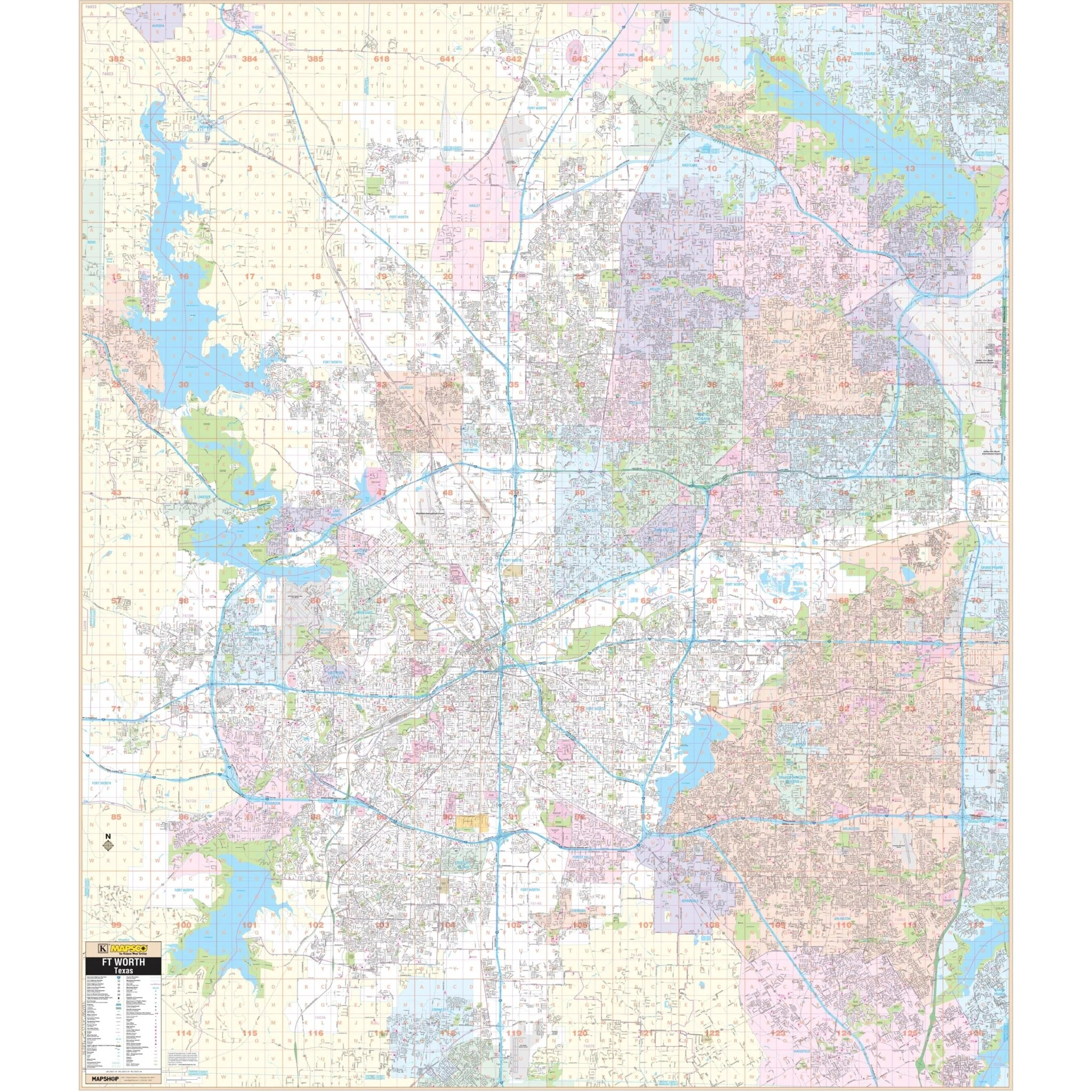
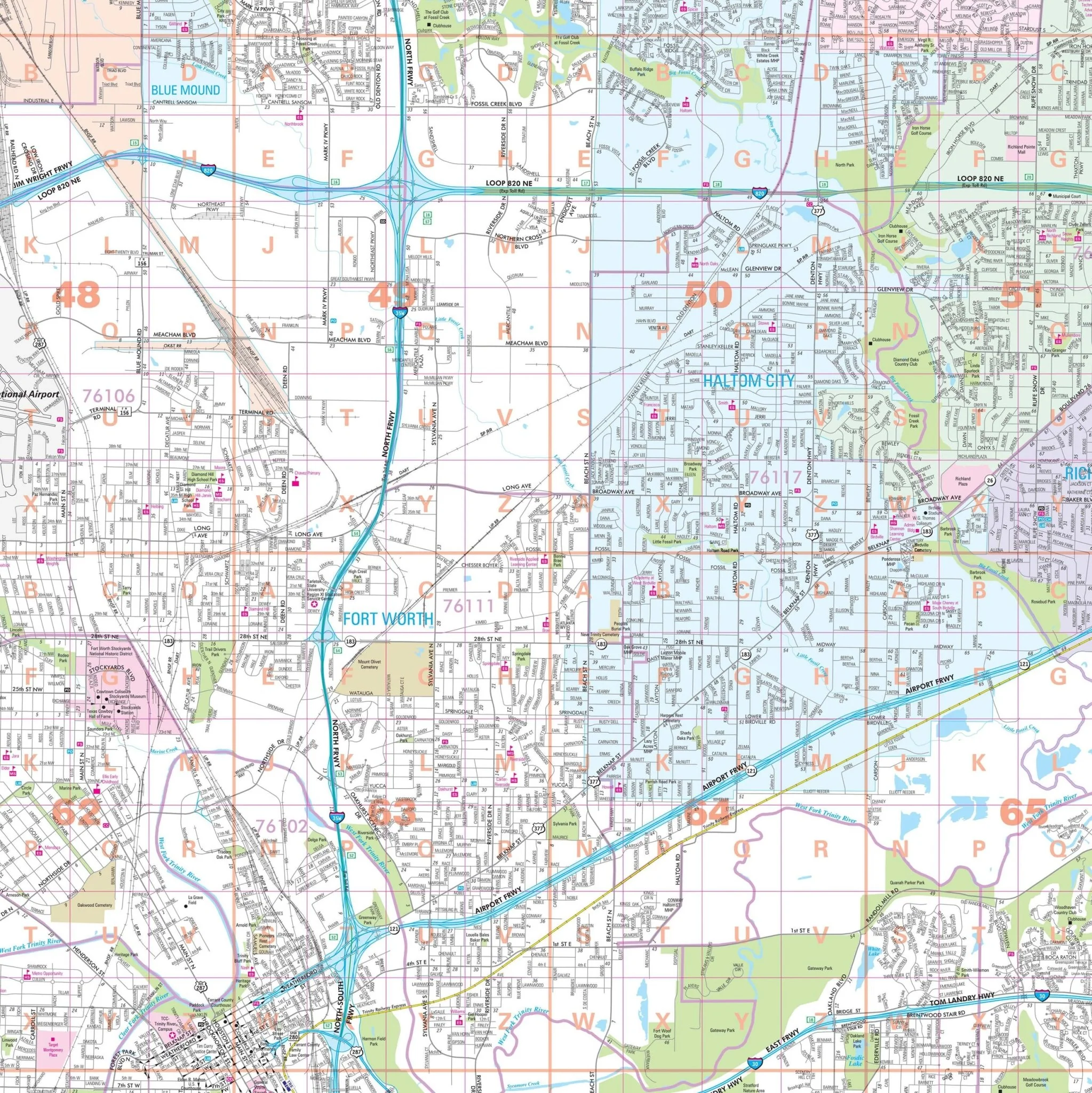
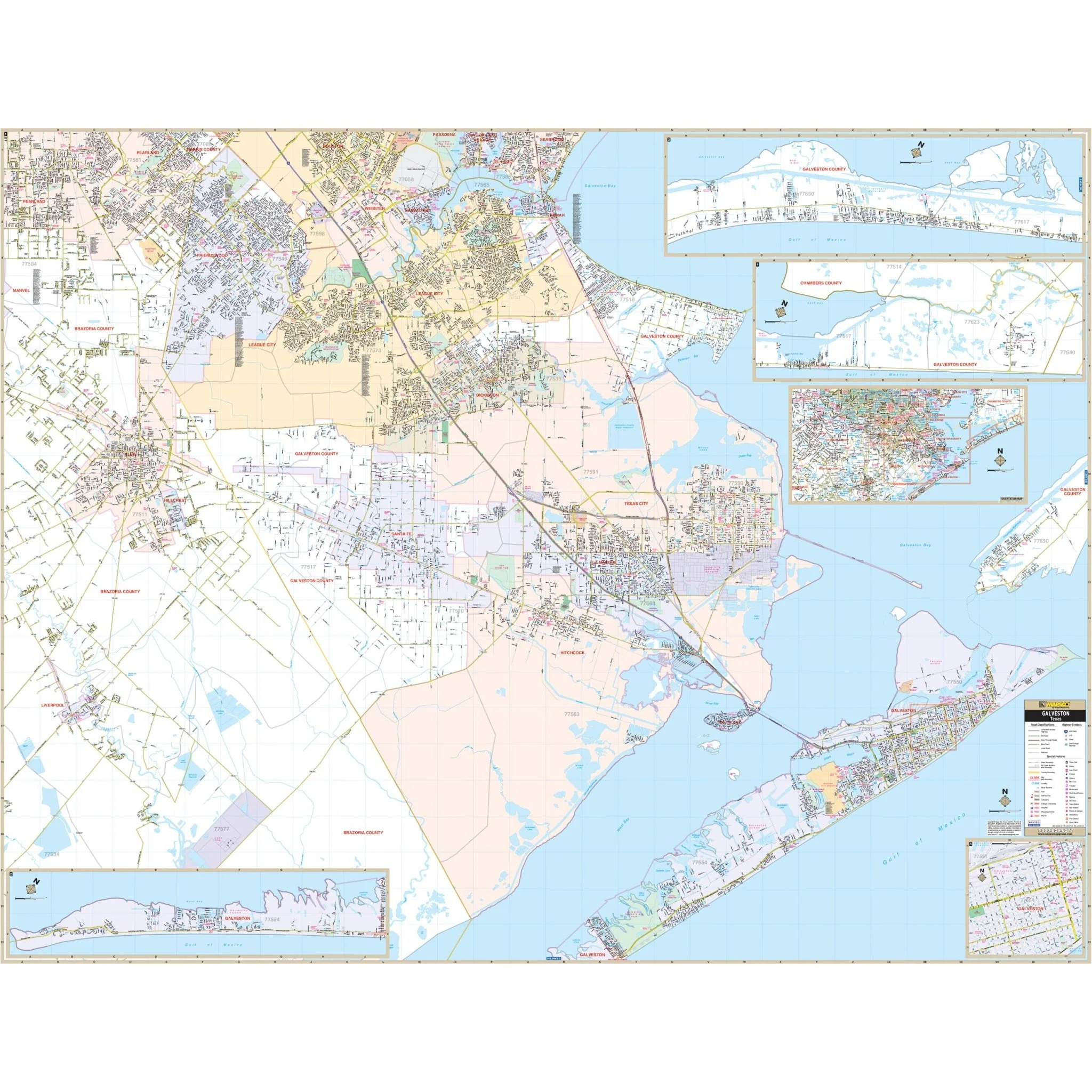
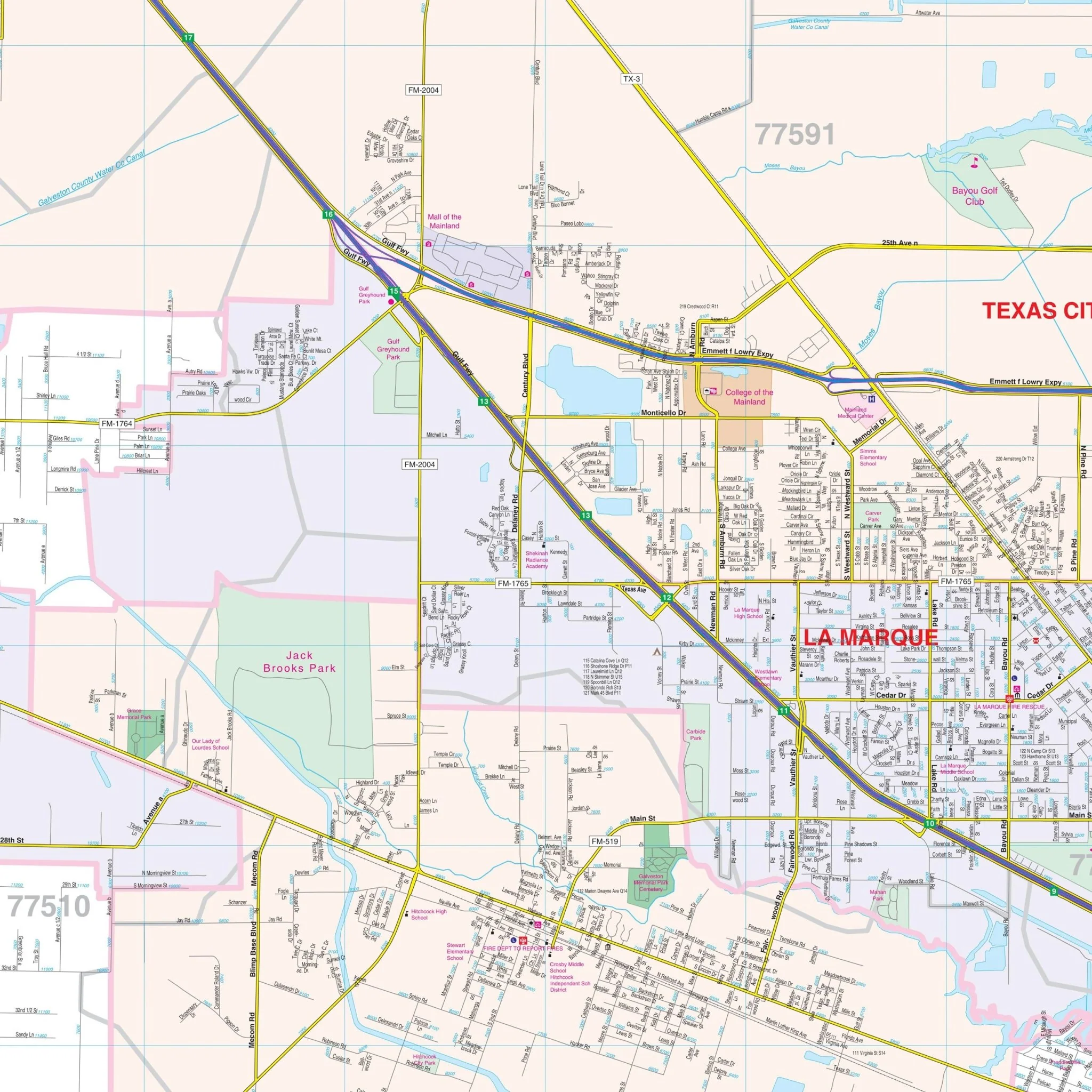
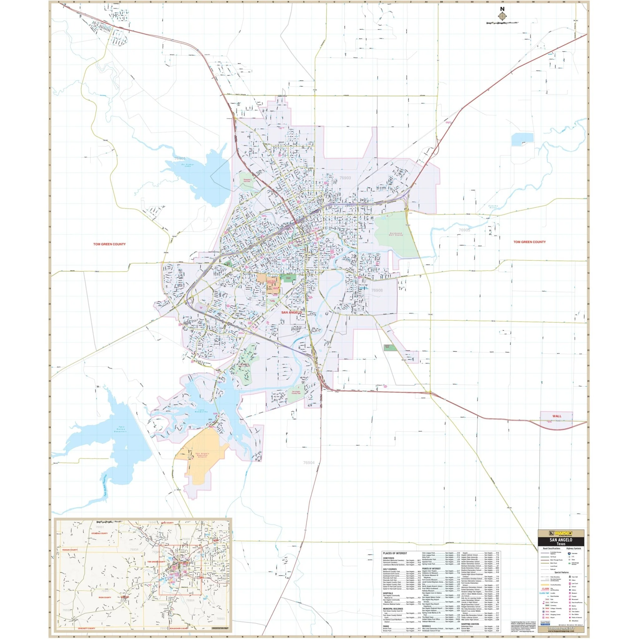
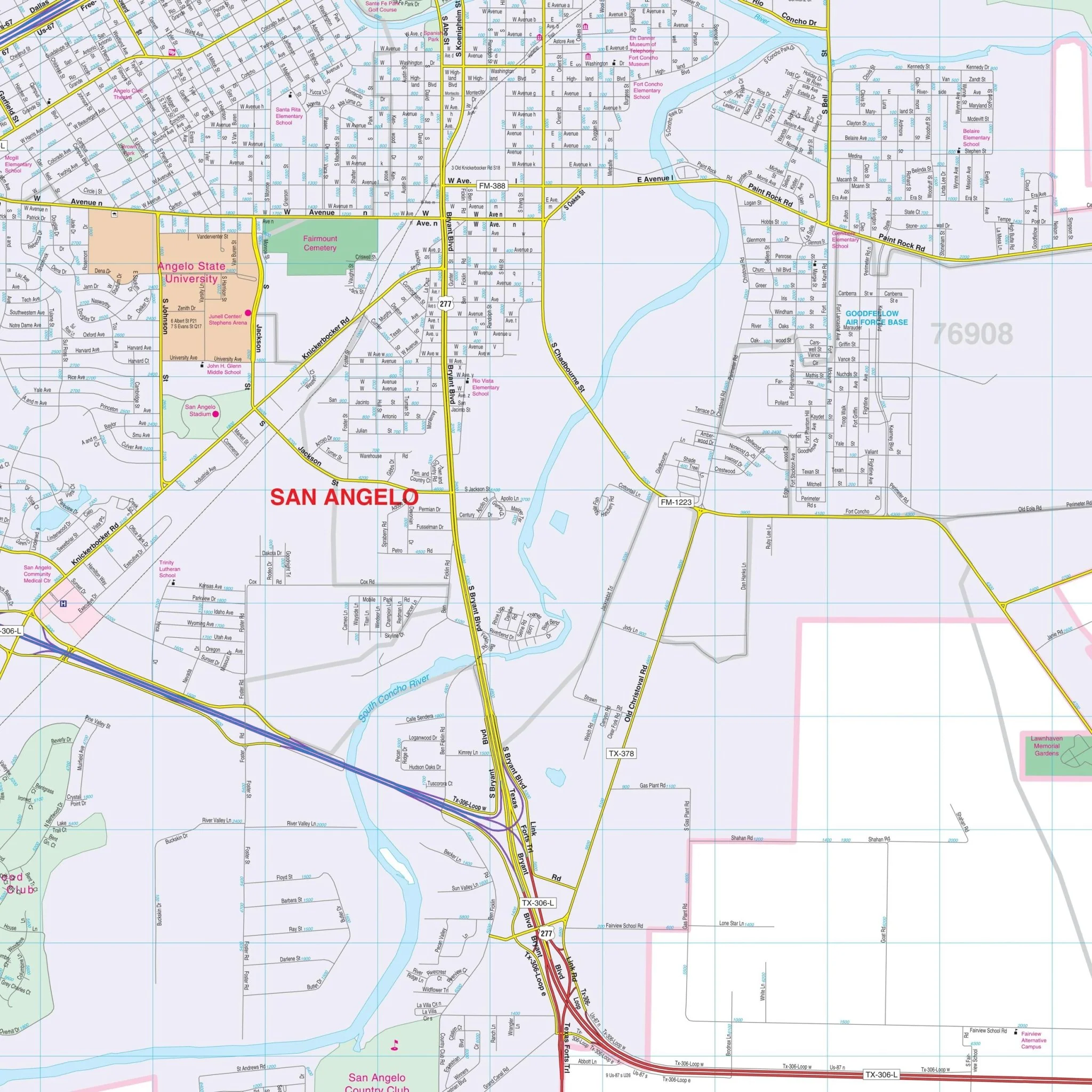
The San Angelo, Texas Wall Map by Kappa Map Group offers comprehensive street detail without specific measurements. The area of coverage for this map includes:
- San Angelo
- Street detailed inset of Tom Greene and Irion Counties with points of interest
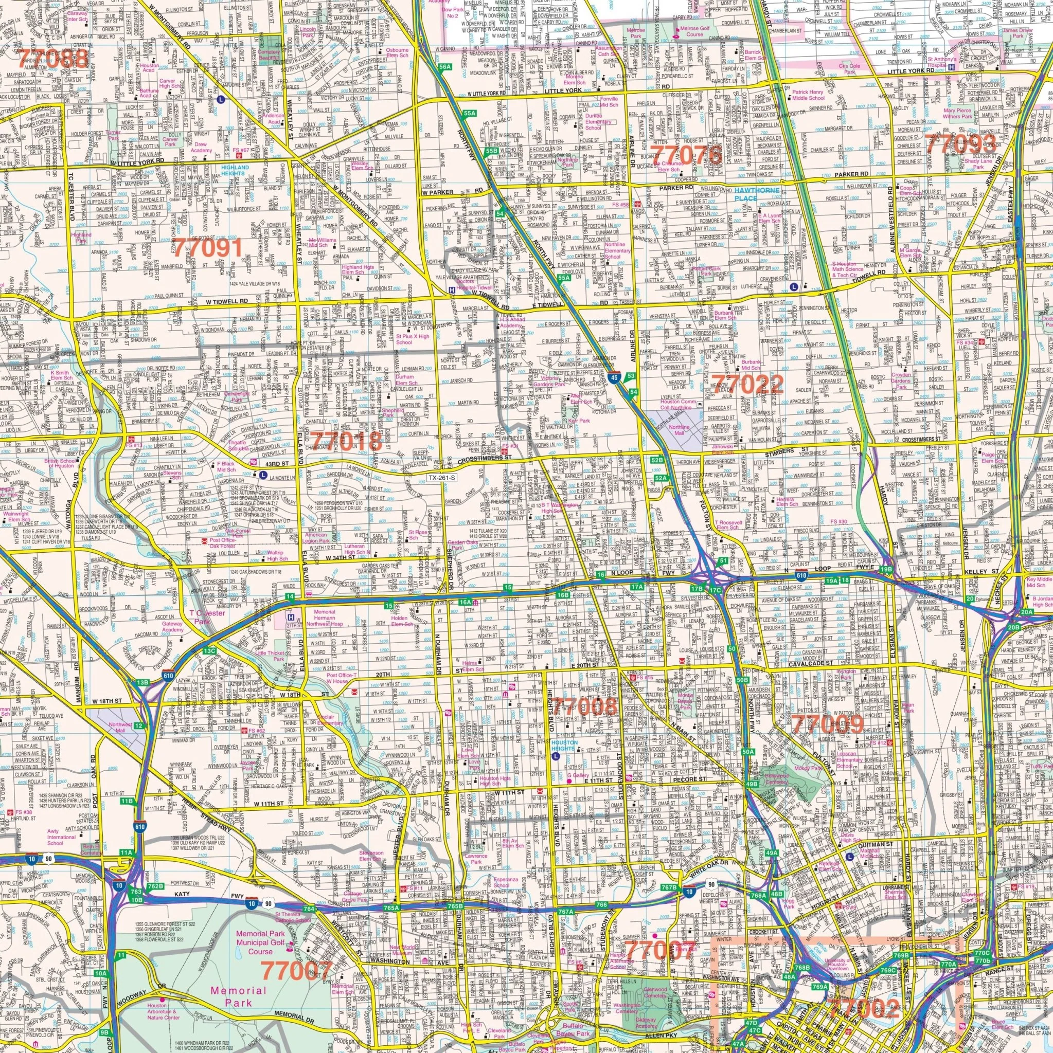
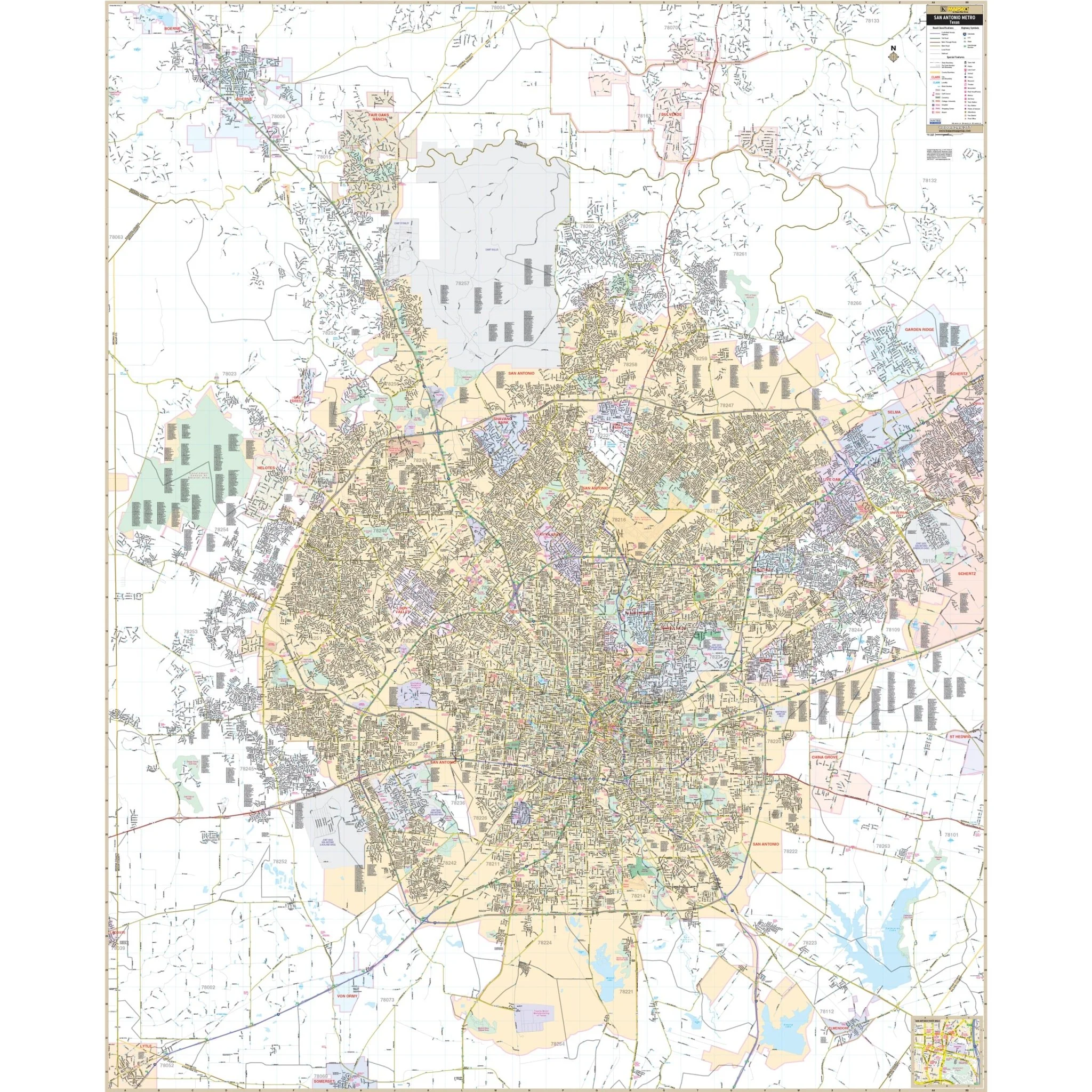
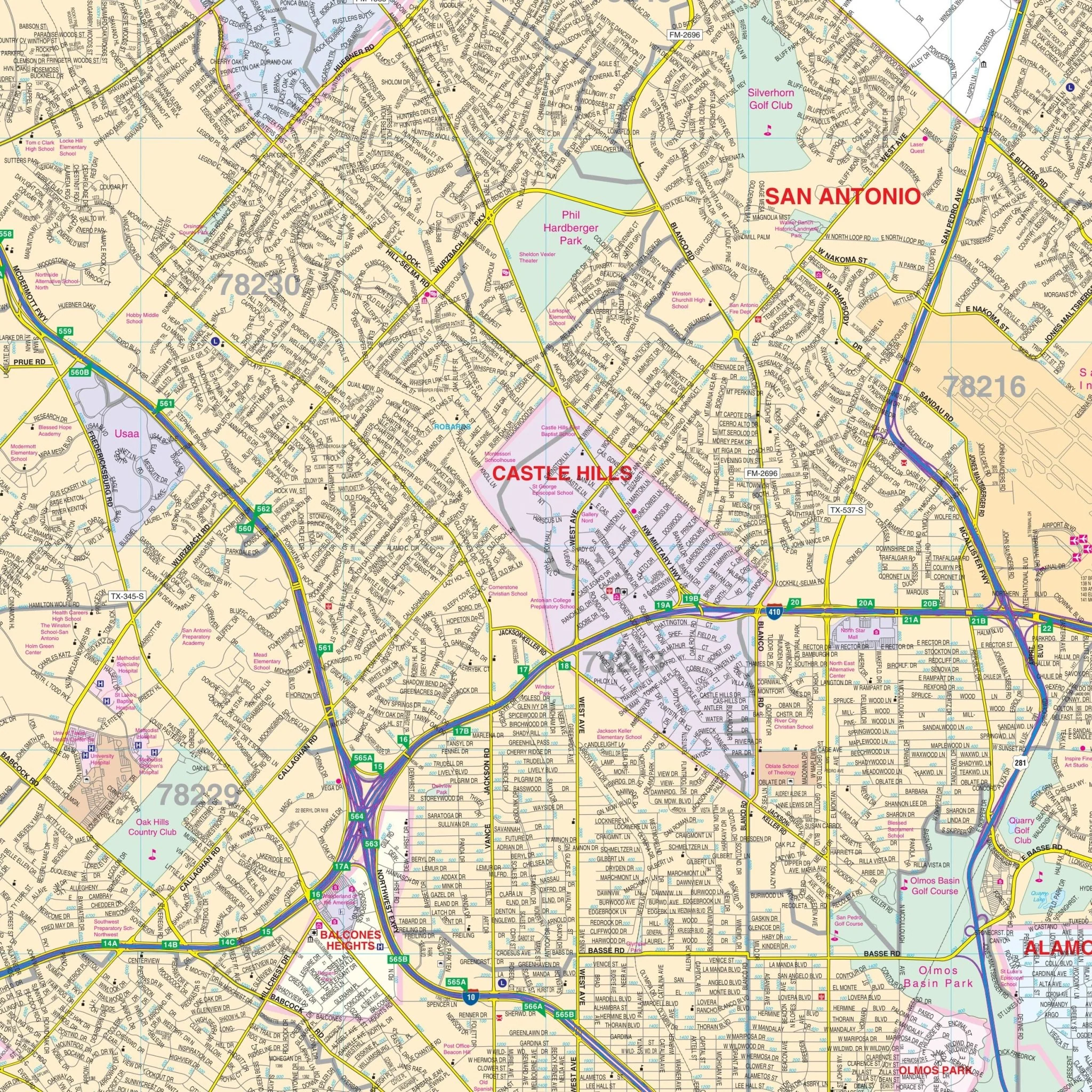
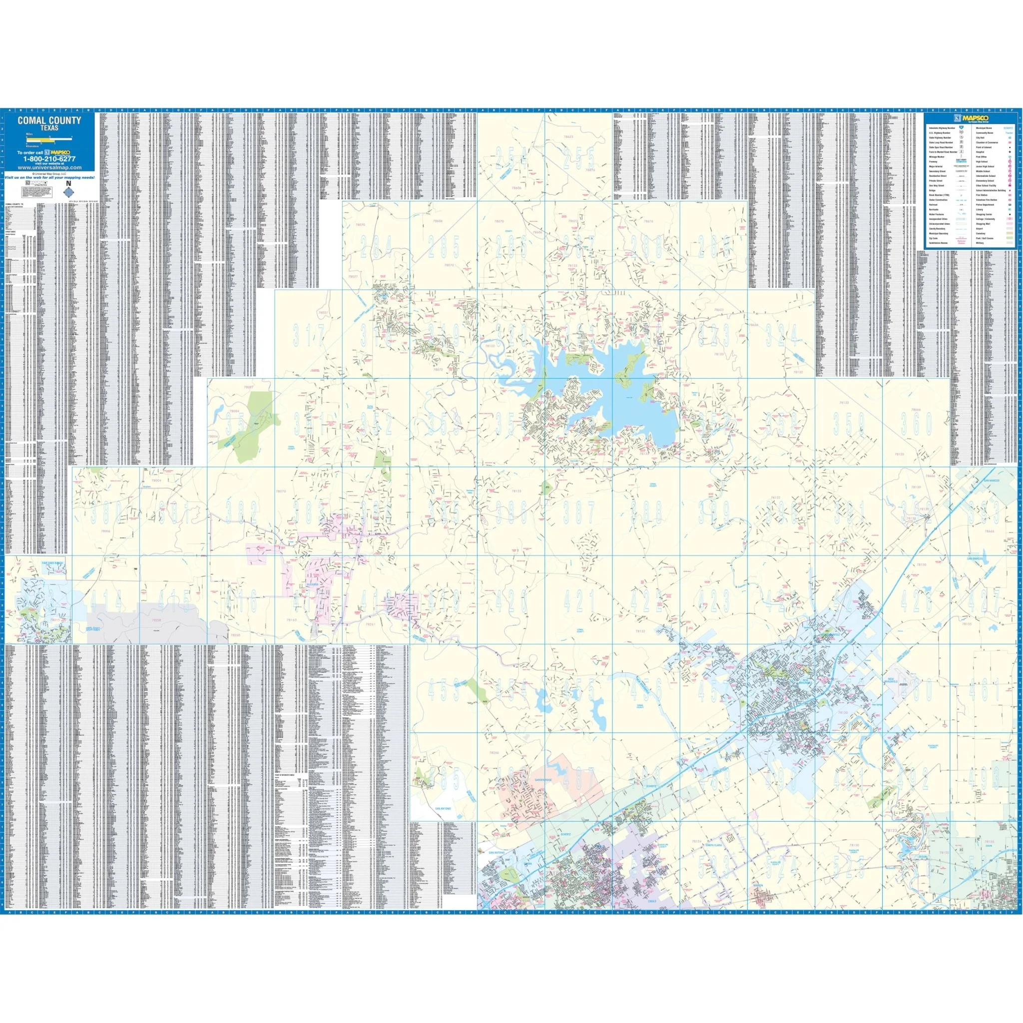
Special features and data contained on this map include all streets and highways, government buildings, airports, water features, police stations, hospitals, shopping centers, educational institutions, railroads, recreational parks, golf and country clubs, neighborhoods, city limits and annexations, cemeteries, block numbers, ZIP codes, boundaries, and libraries.
Size: 51.5" x 60.5"
Published: 2011
Original: $139.99
-70%$139.99
$42.00Product Information
Product Information
Shipping & Returns
Shipping & Returns
Description
The San Angelo, Texas Wall Map by Kappa Map Group offers comprehensive street detail without specific measurements. The area of coverage for this map includes:
- San Angelo
- Street detailed inset of Tom Greene and Irion Counties with points of interest
Special features and data contained on this map include all streets and highways, government buildings, airports, water features, police stations, hospitals, shopping centers, educational institutions, railroads, recreational parks, golf and country clubs, neighborhoods, city limits and annexations, cemeteries, block numbers, ZIP codes, boundaries, and libraries.
Size: 51.5" x 60.5"
Published: 2011