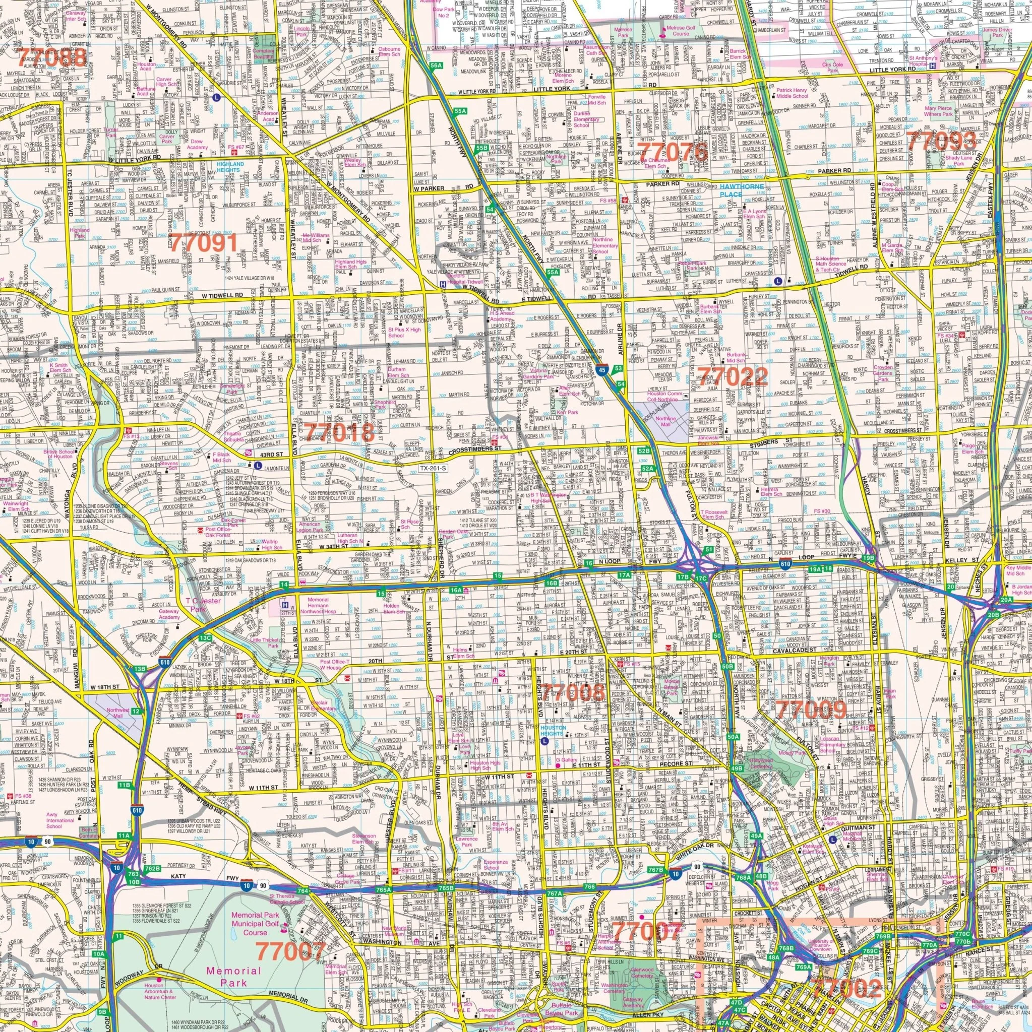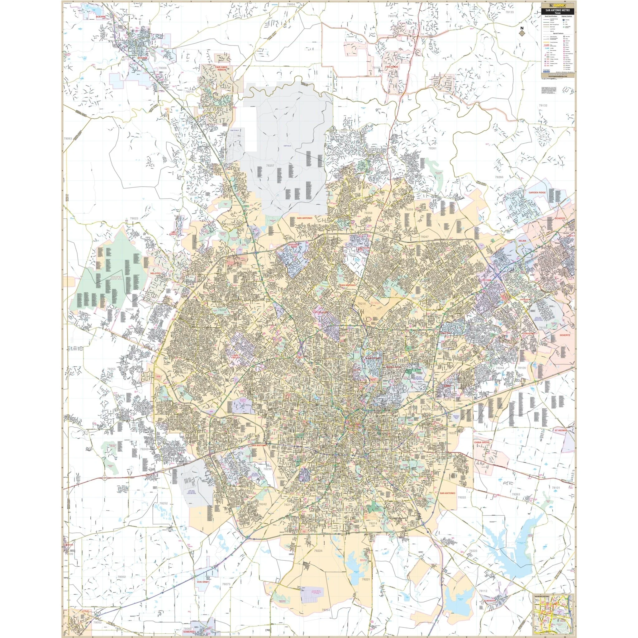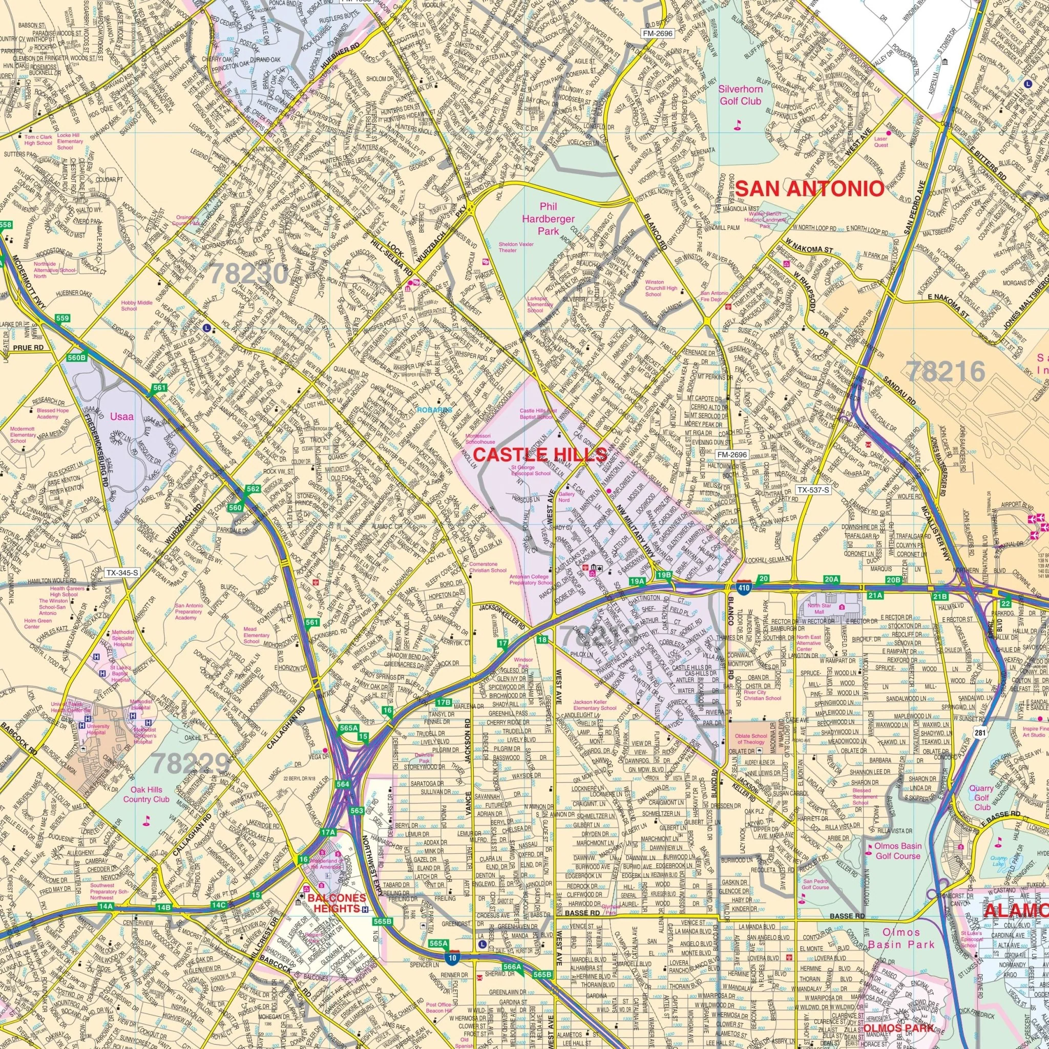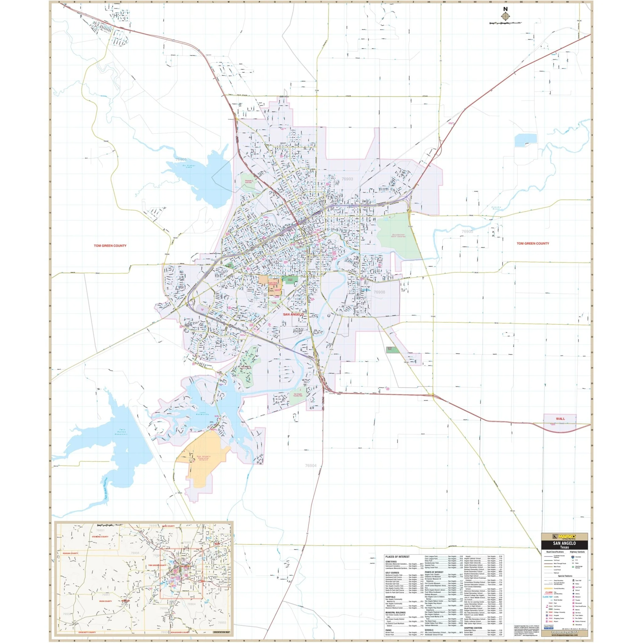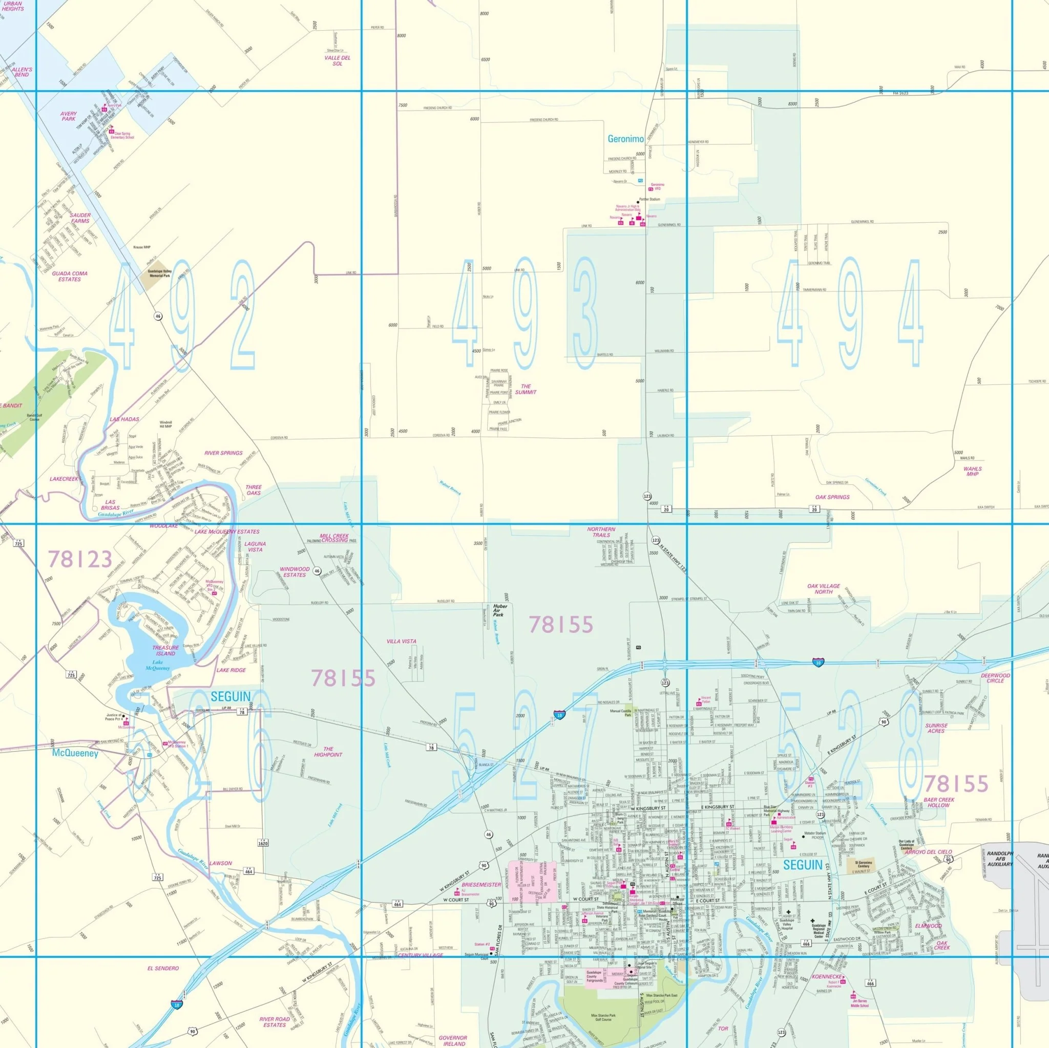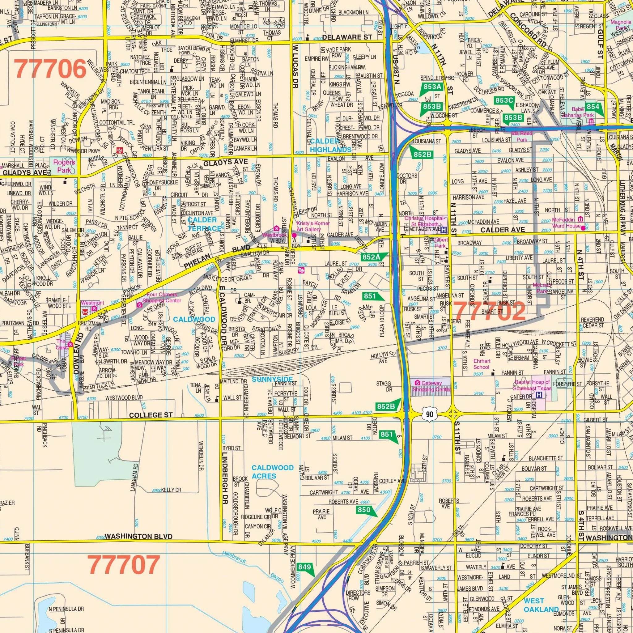

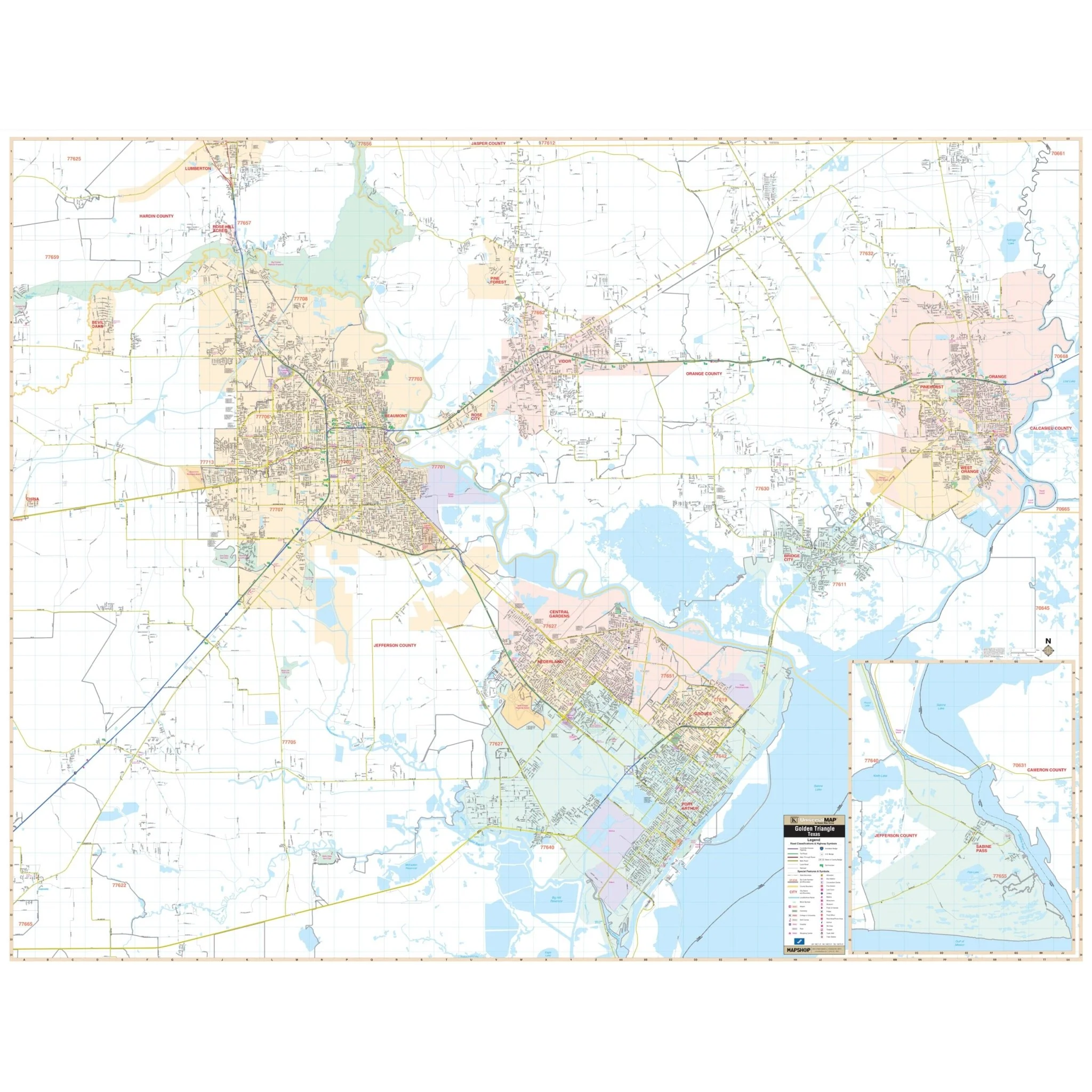


Golden Triangle, TX Wall Map
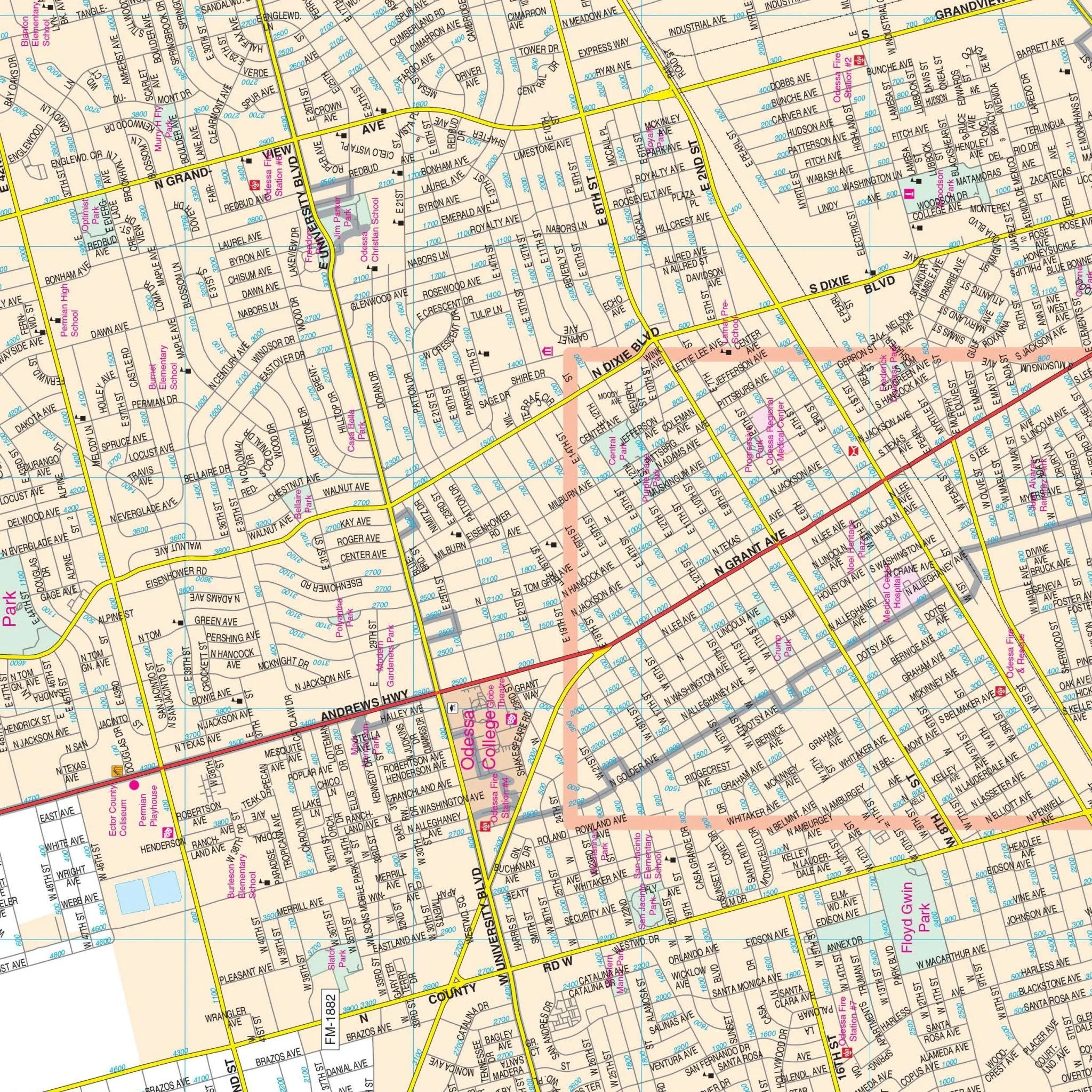
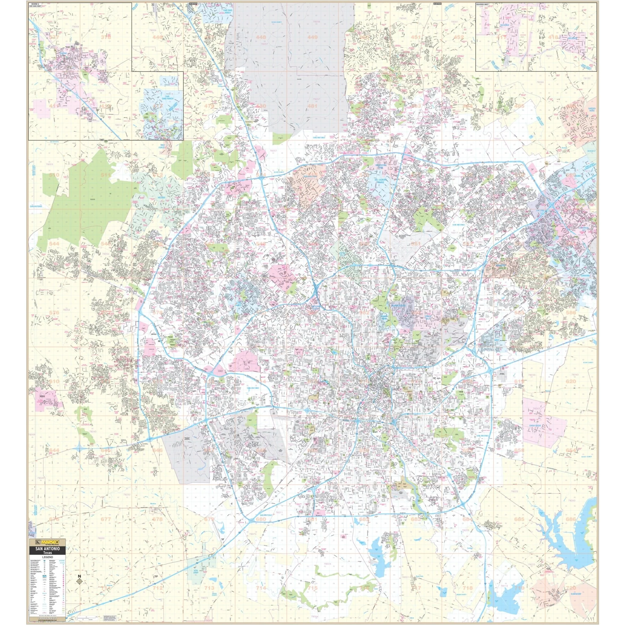
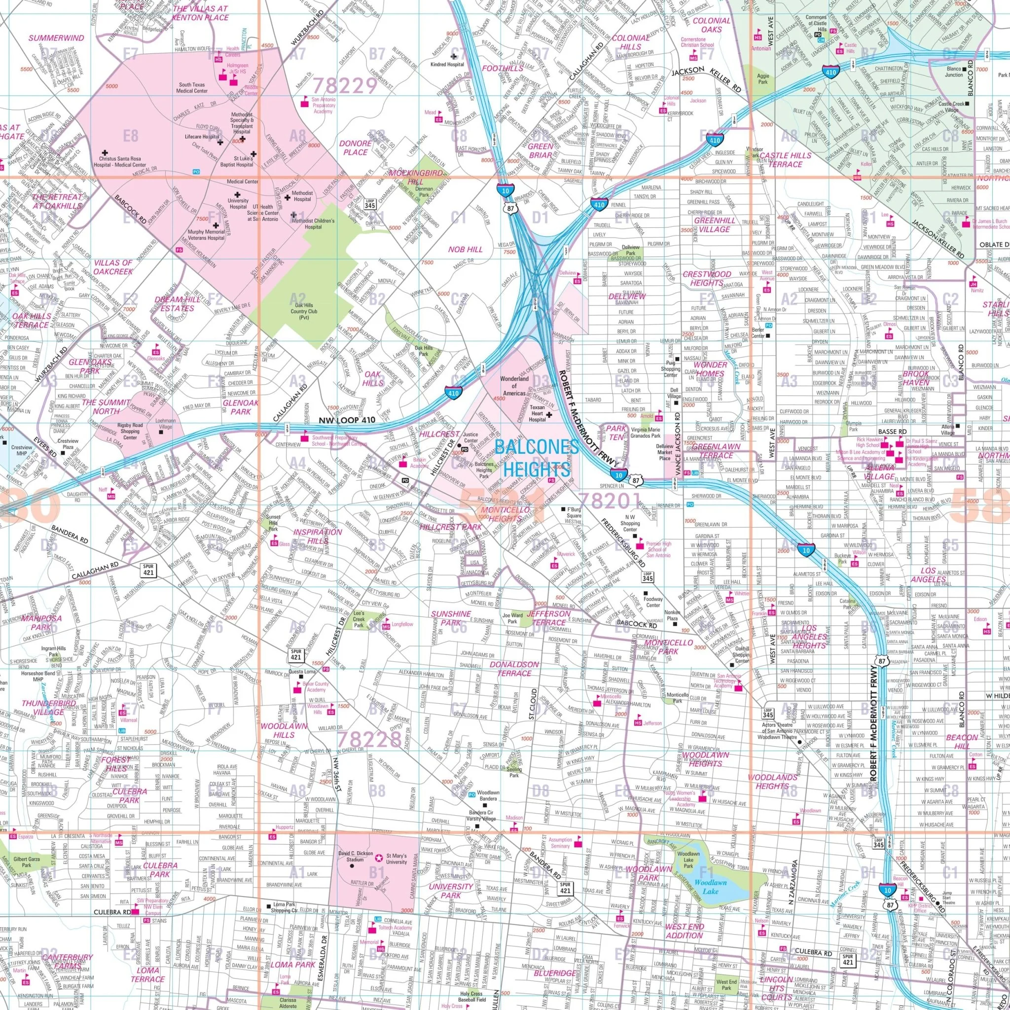
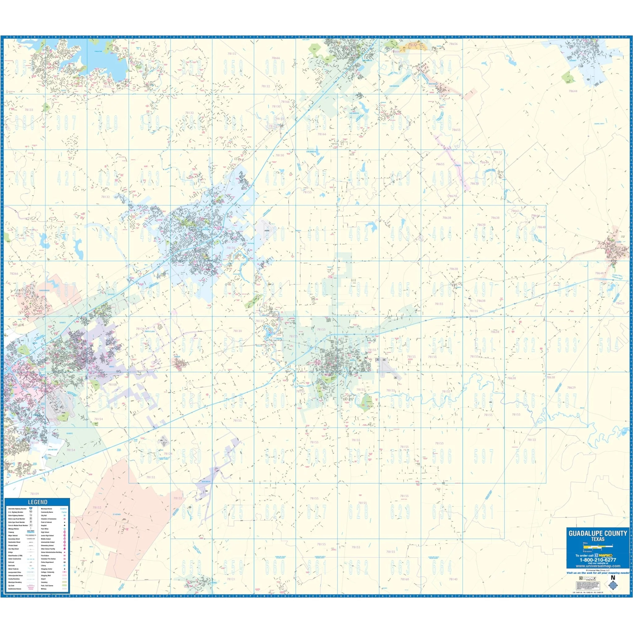
The Golden Triangle, Texas Wall Map covers the following area:
- North: Orange County line and Pine Forest
- South: Port Arthur
- East: Louisiana State line
- West: Five miles west of Beaumont
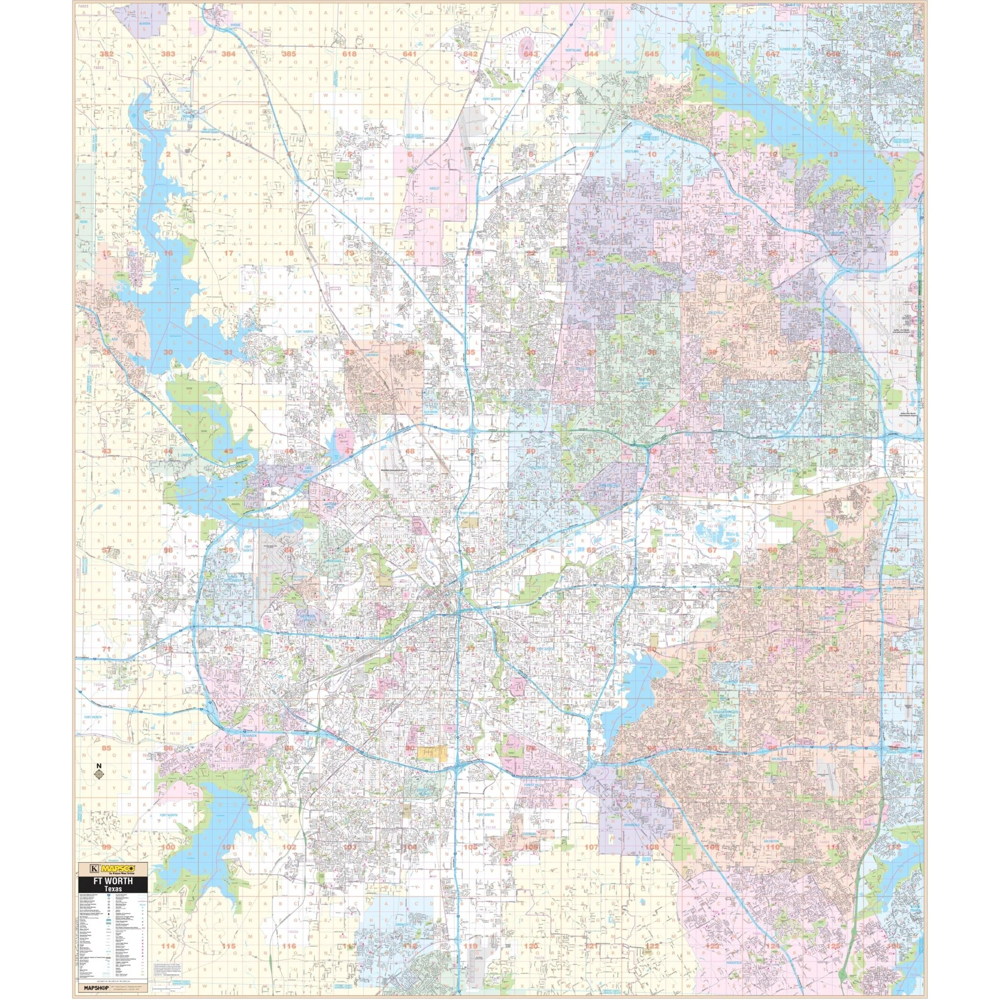
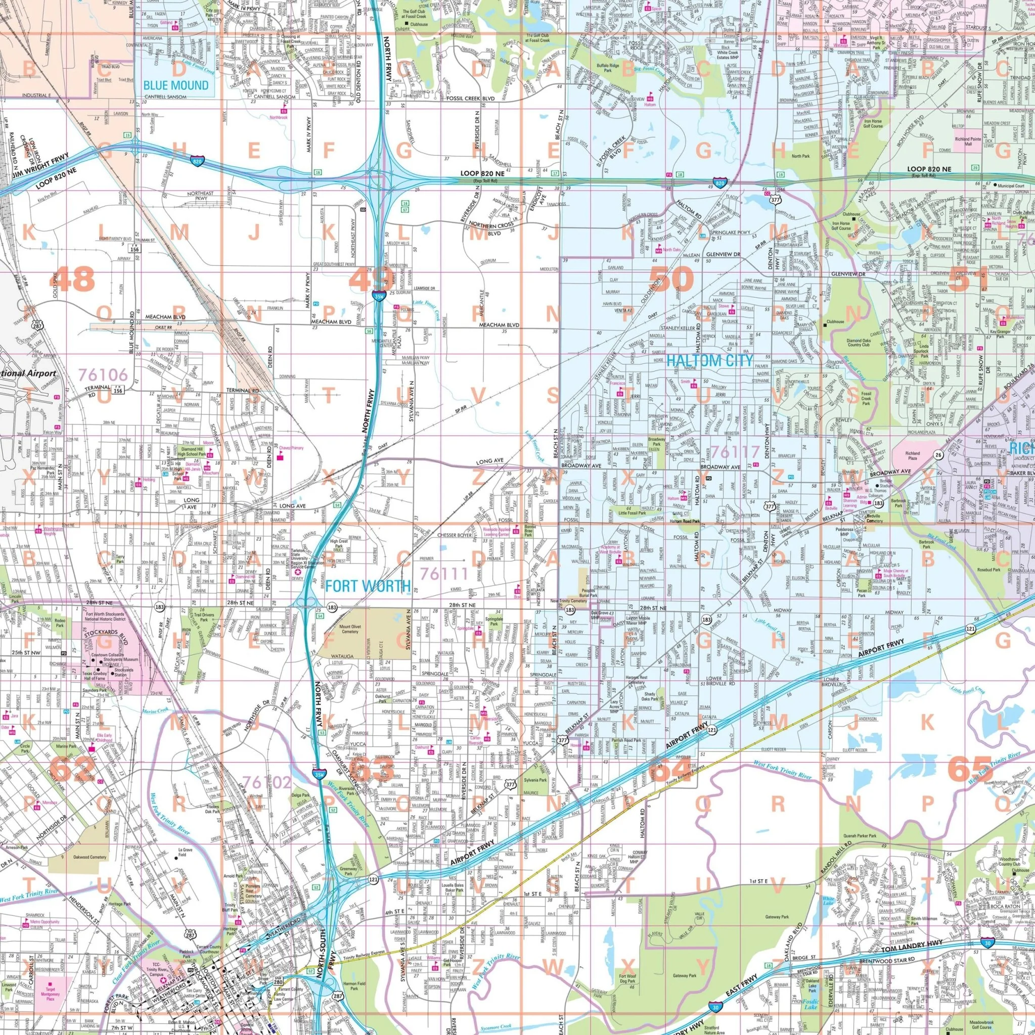
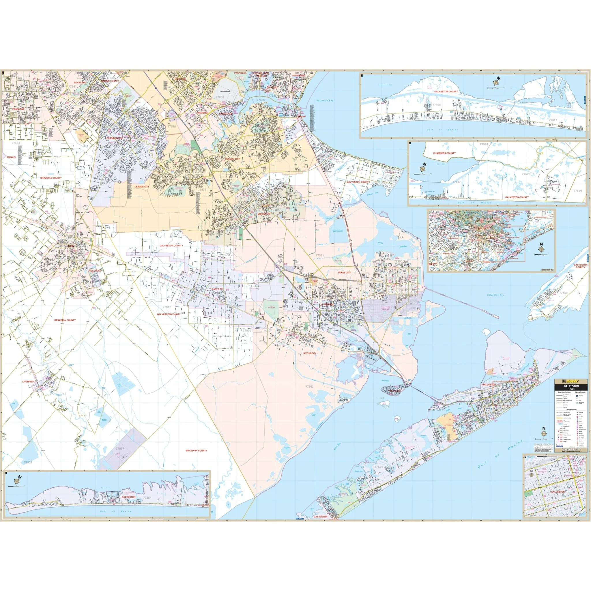
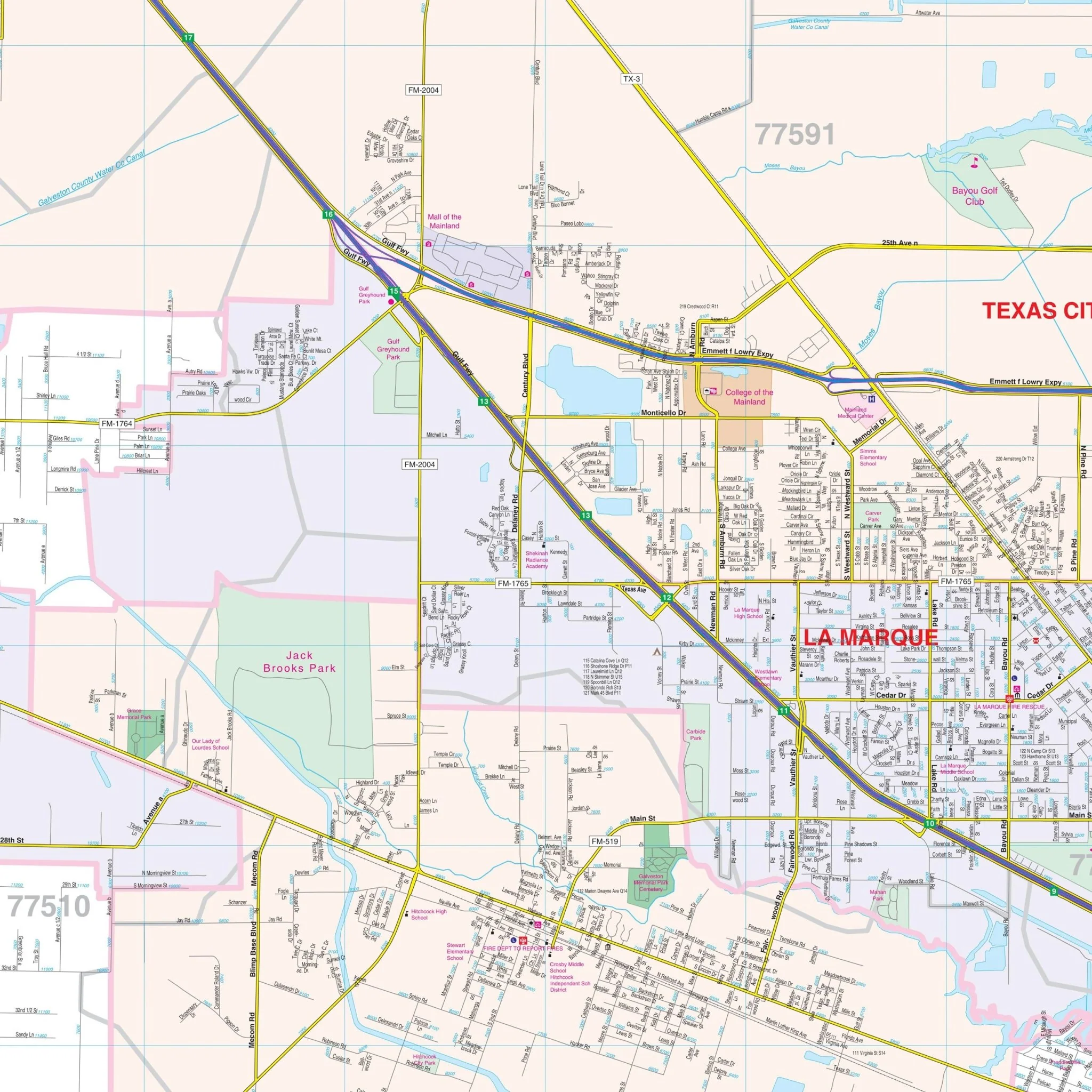
Details and features depicted on the map include airports, block numbers, cemeteries, city limits (color-coded), educational institutions, fire and police stations, golf and country clubs, hospitals, libraries, points of interest, railroads, recreational parks, streets and highways, water features, and ZIP code boundaries.
Size: 74" x 57"
Published: 2005
Original: $149.99
-70%$149.99
$45.00Product Information
Product Information
Shipping & Returns
Shipping & Returns
Description
The Golden Triangle, Texas Wall Map covers the following area:
- North: Orange County line and Pine Forest
- South: Port Arthur
- East: Louisiana State line
- West: Five miles west of Beaumont
Details and features depicted on the map include airports, block numbers, cemeteries, city limits (color-coded), educational institutions, fire and police stations, golf and country clubs, hospitals, libraries, points of interest, railroads, recreational parks, streets and highways, water features, and ZIP code boundaries.
Size: 74" x 57"
Published: 2005