


Fort Worth, TX Wall Map
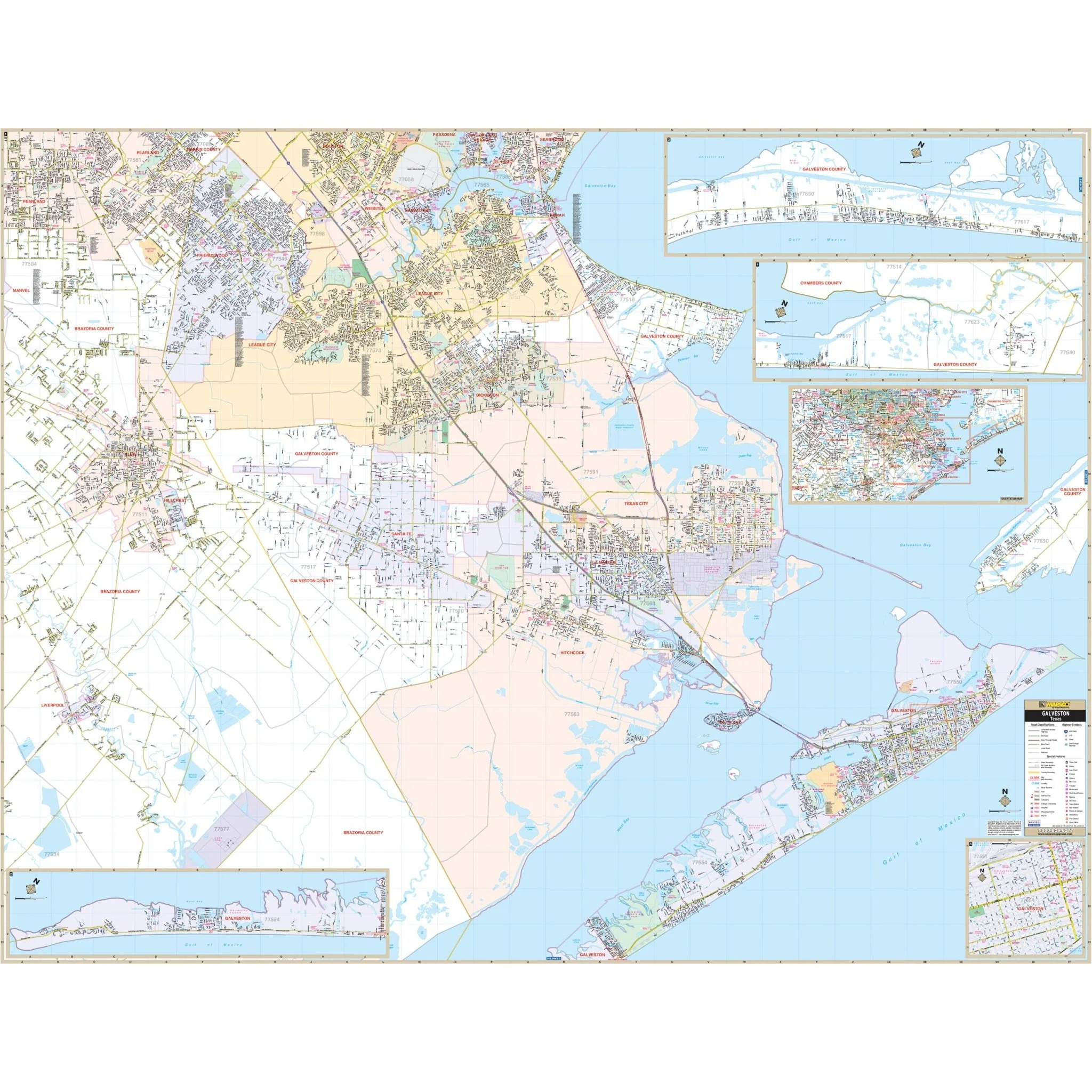
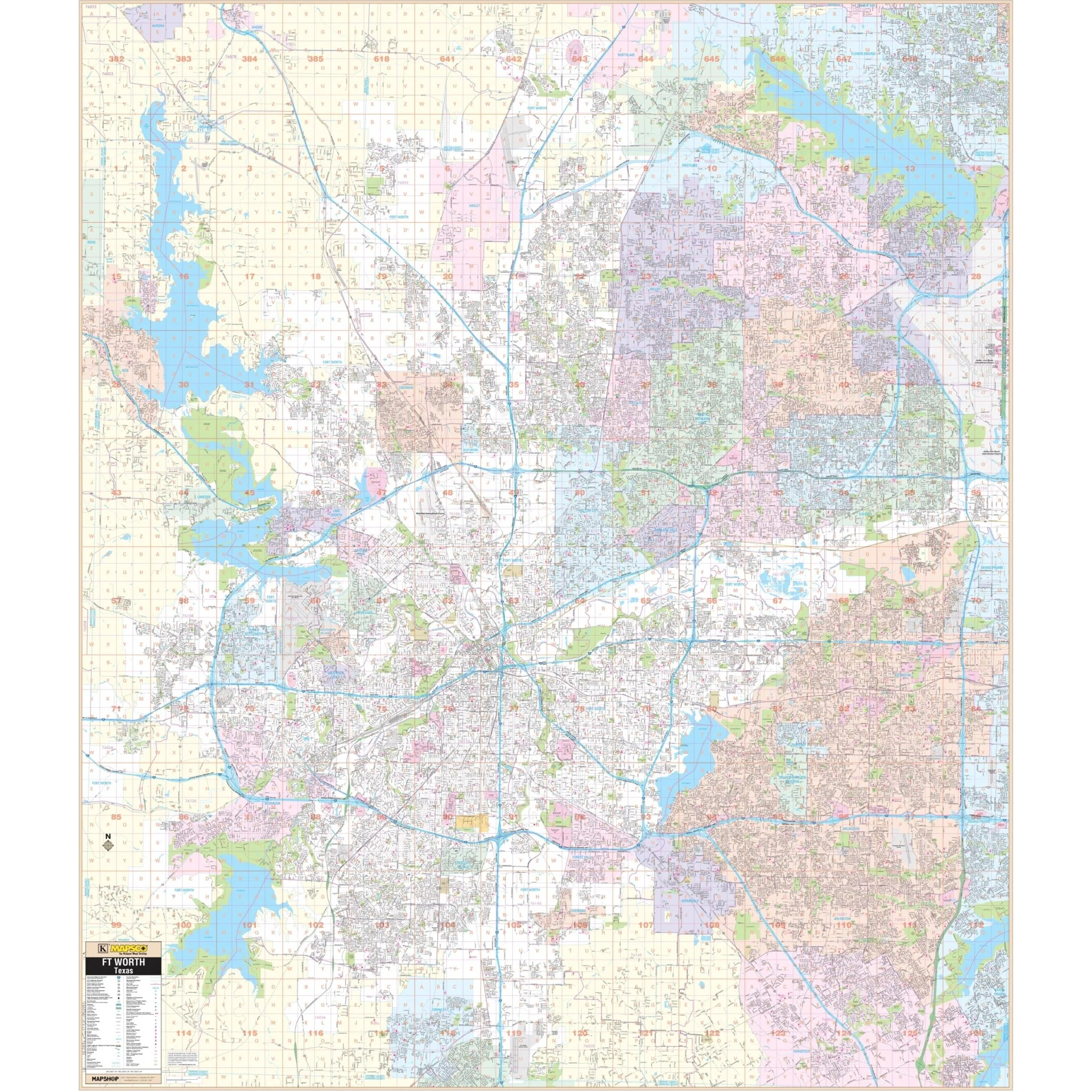
The Fort Worth and Tarrant County, TX Wall Map covers the following area:
- North: City of Rhome and most of Flower Mound in Denton Co.
- South: Tarrant County Line
- East: Tarrant County Line and the Dallas/Ft Worth International Airport
- West: Tarrant County Line
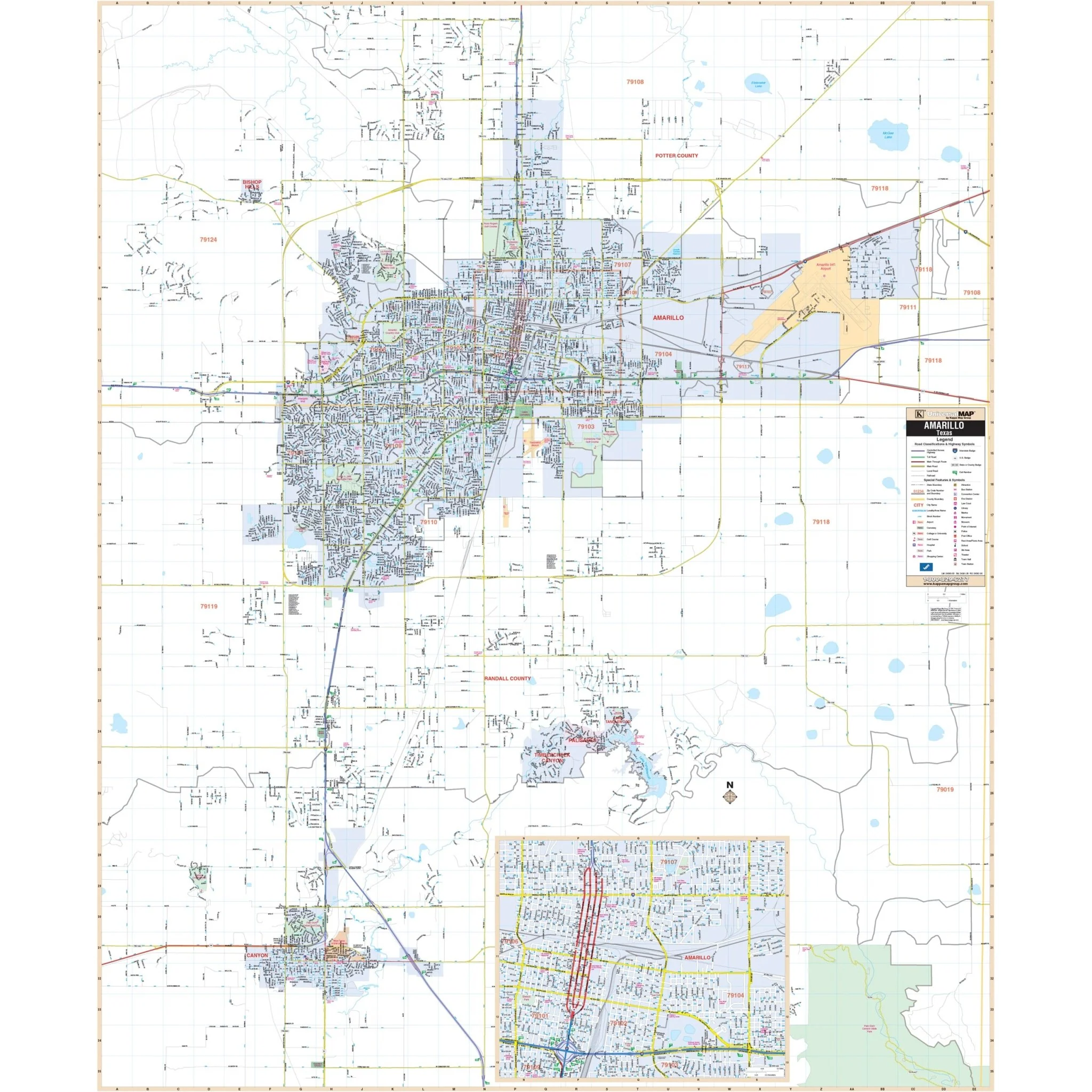
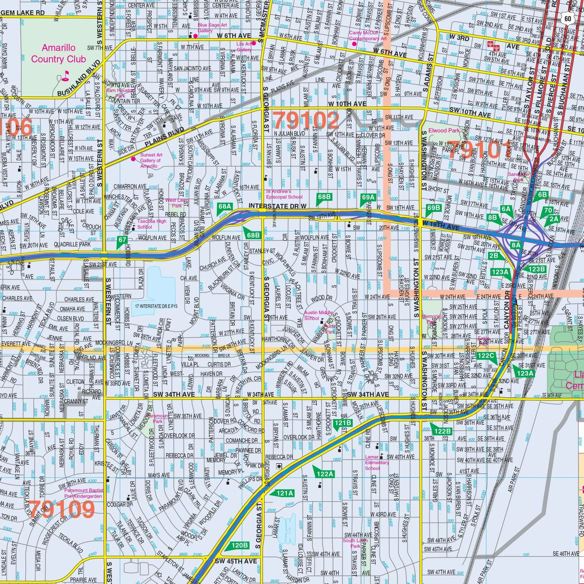
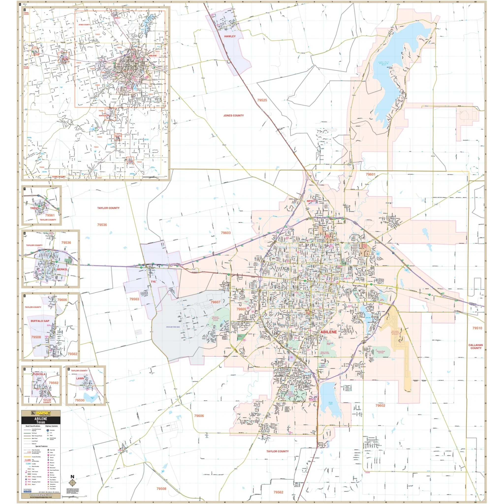
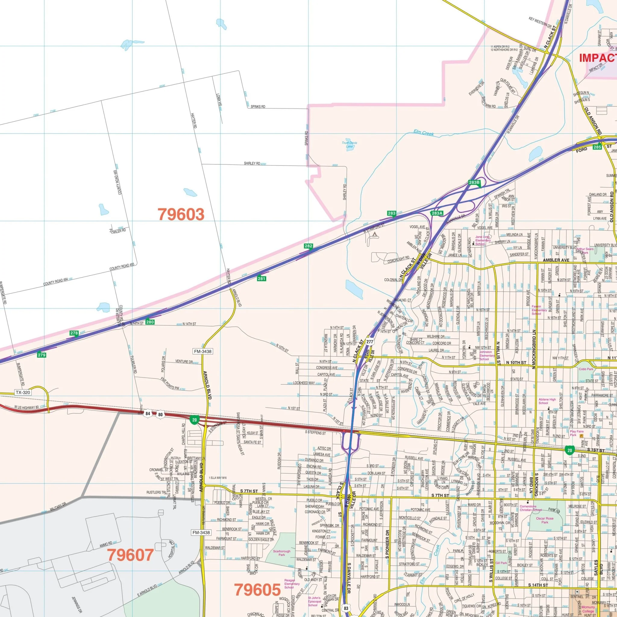
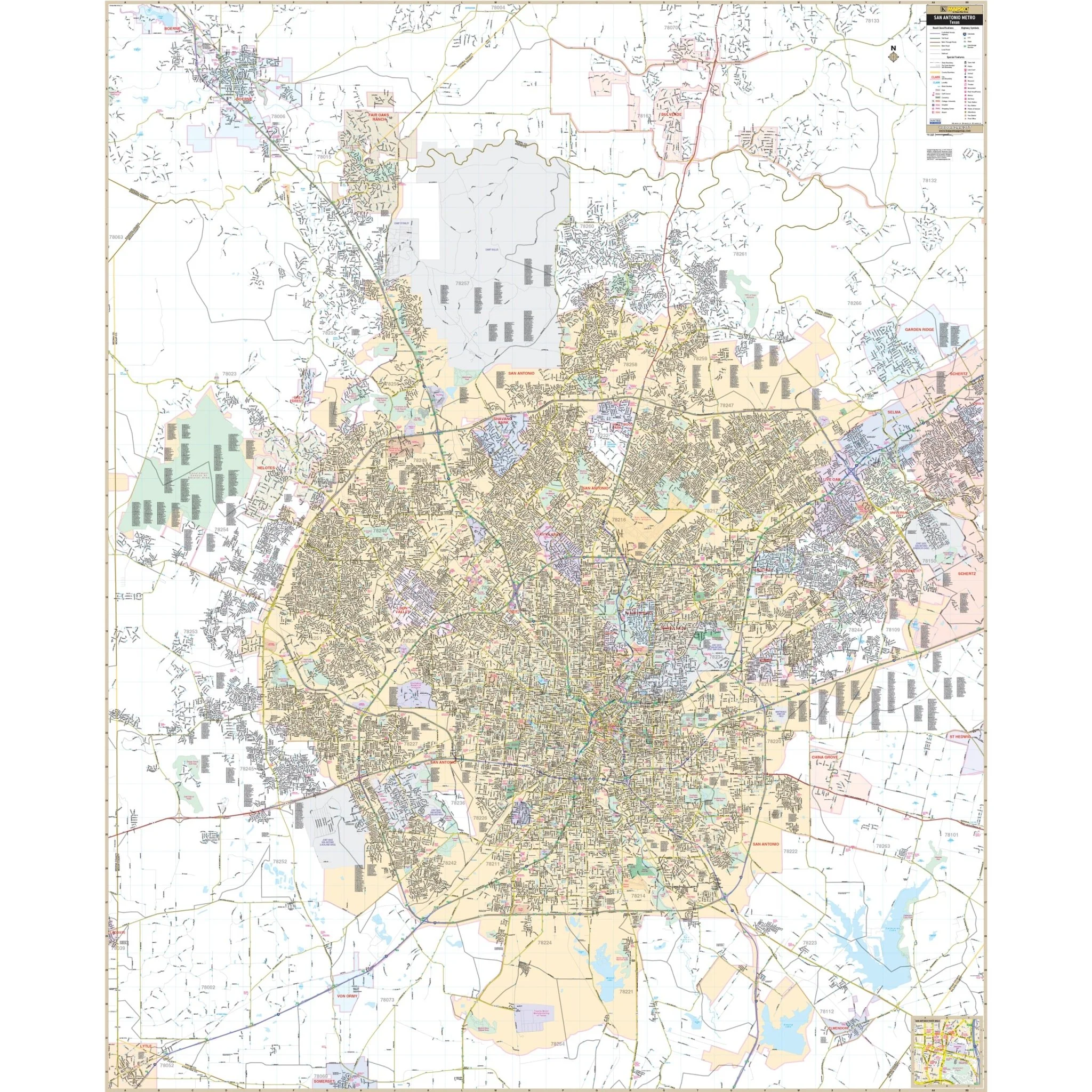
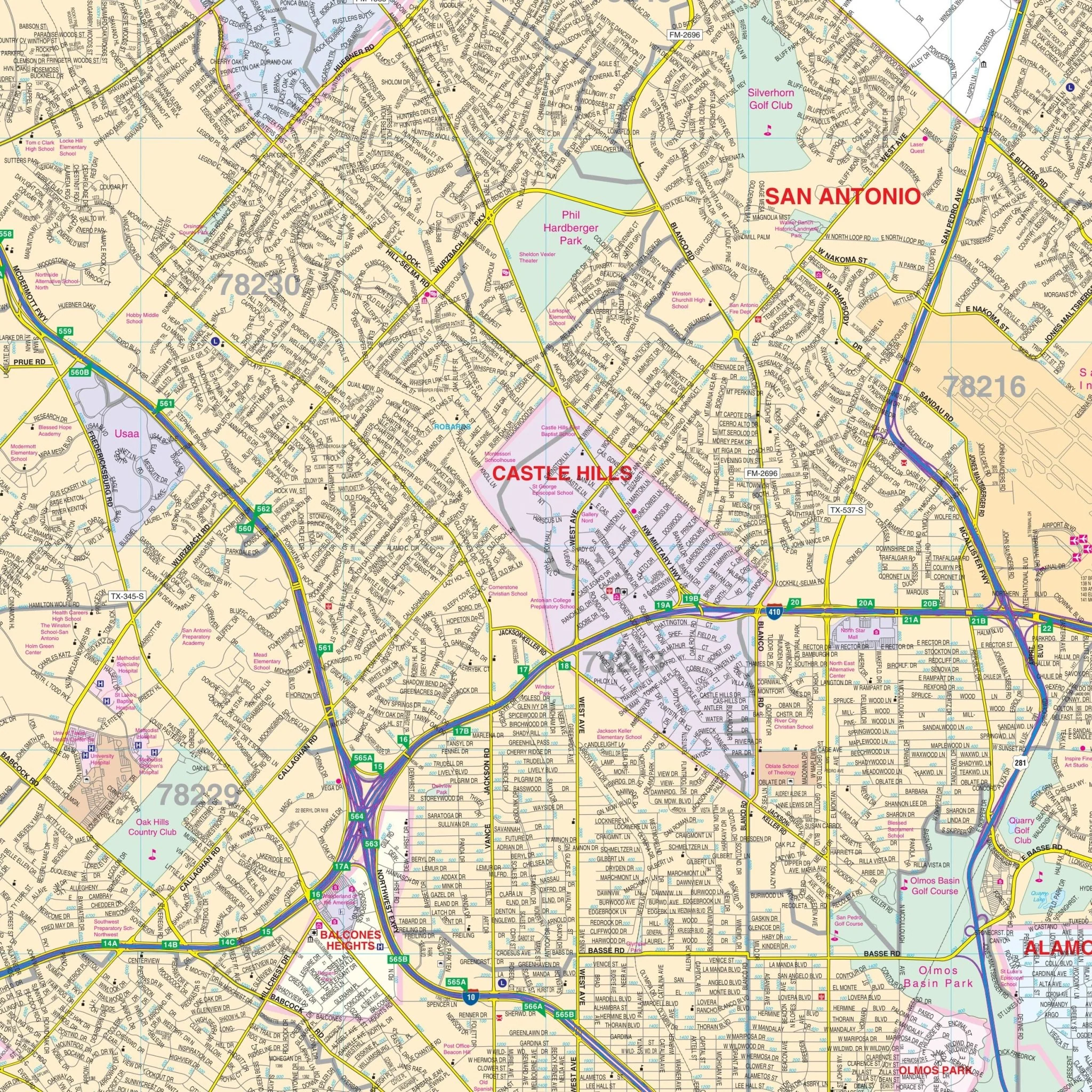
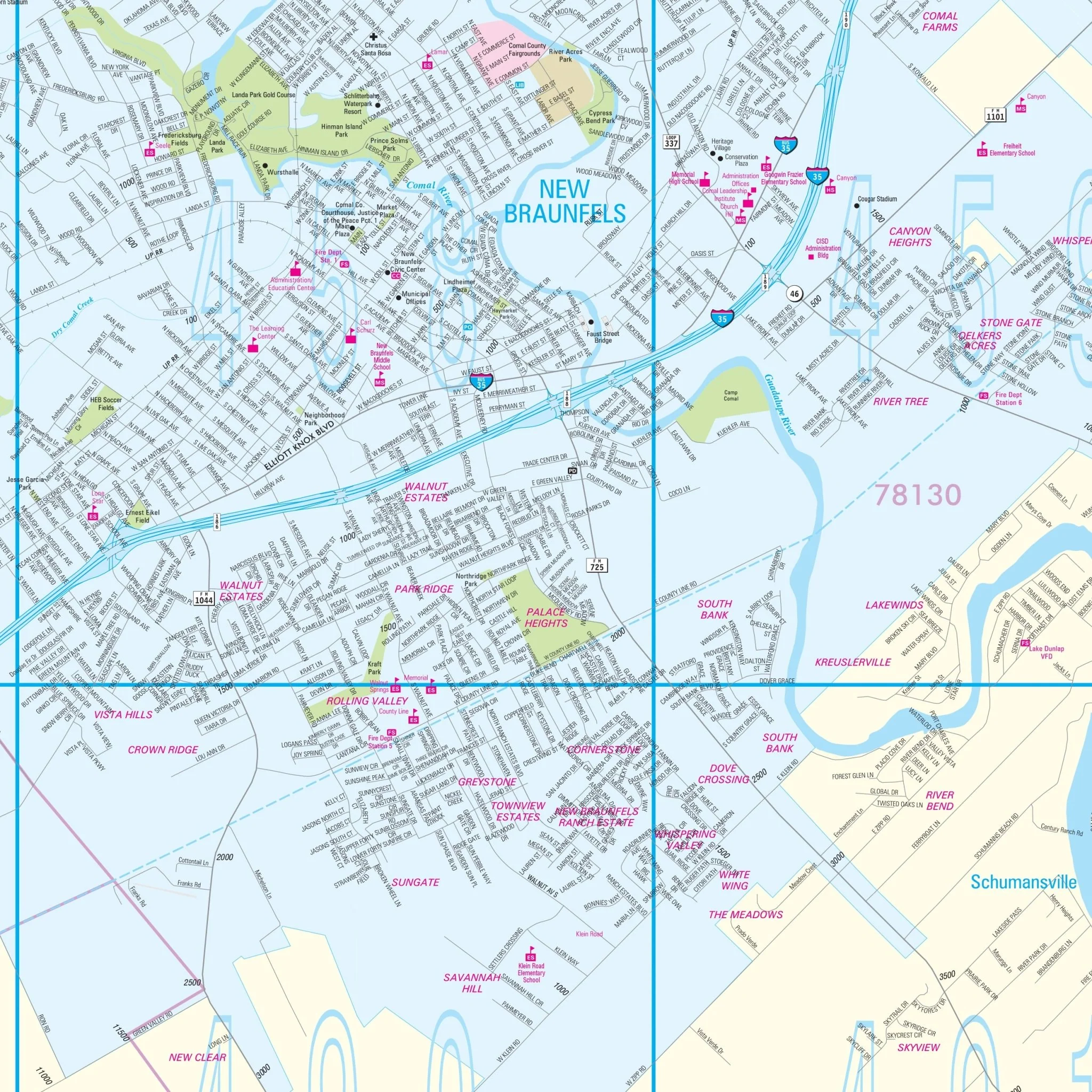
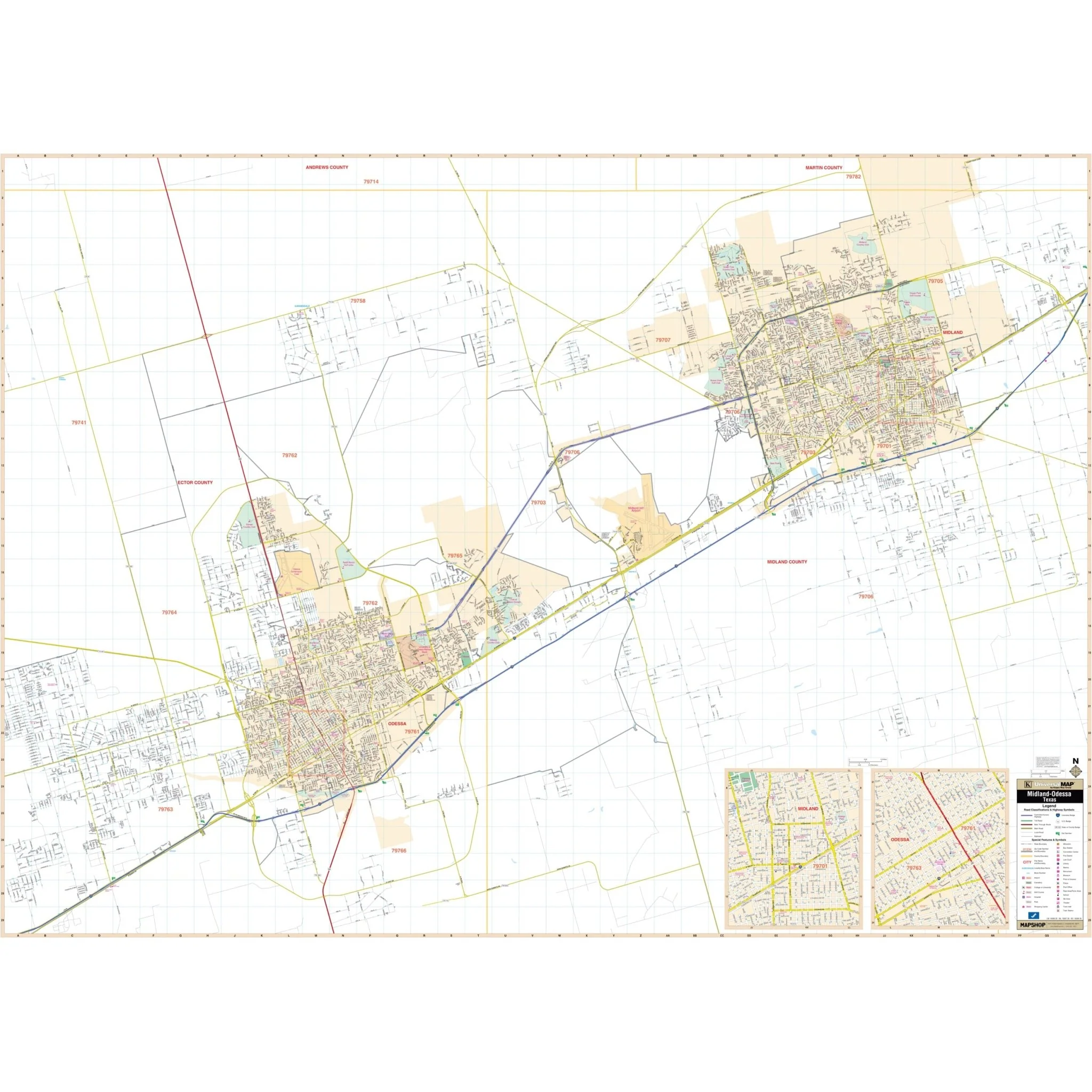
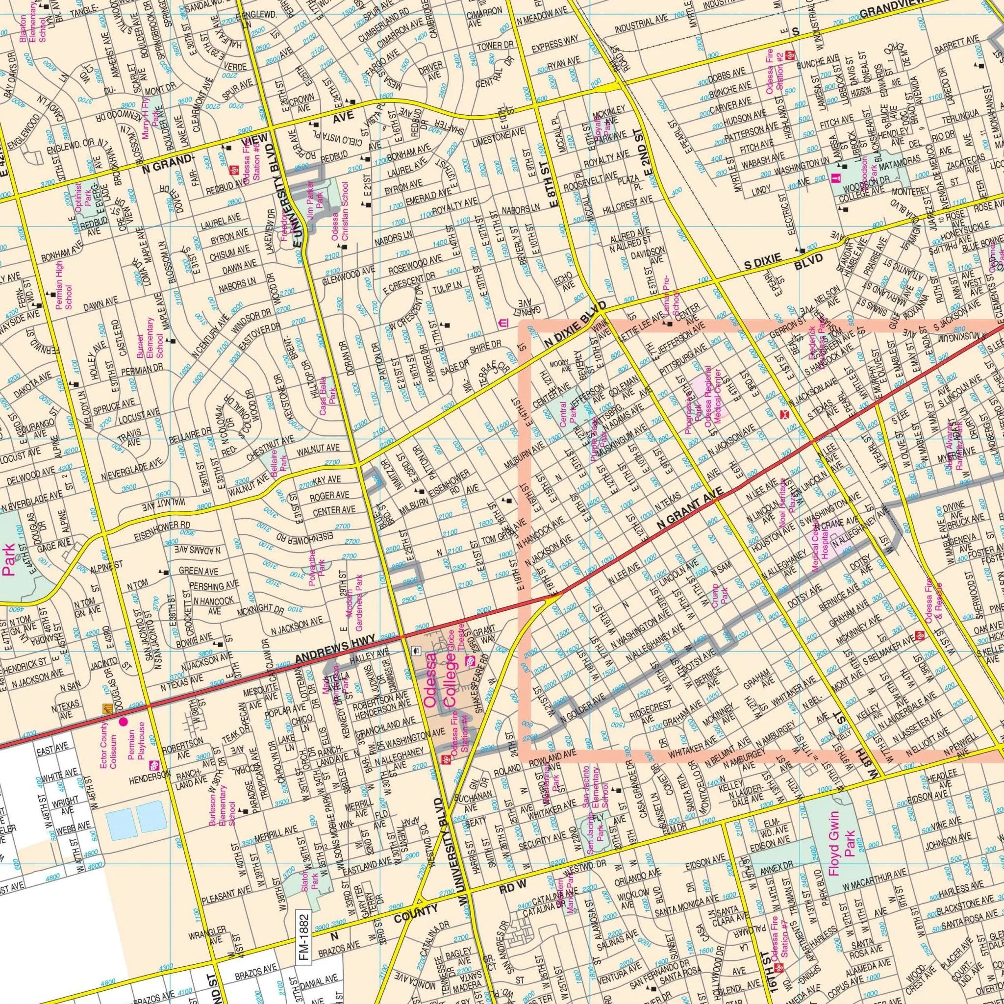
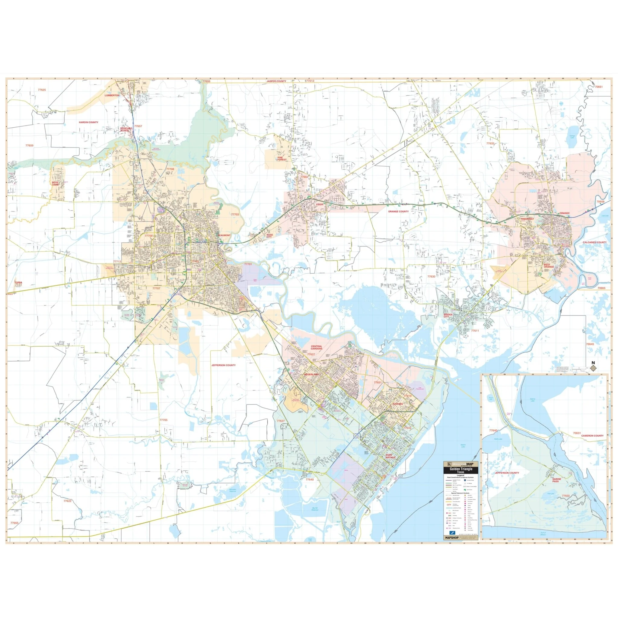
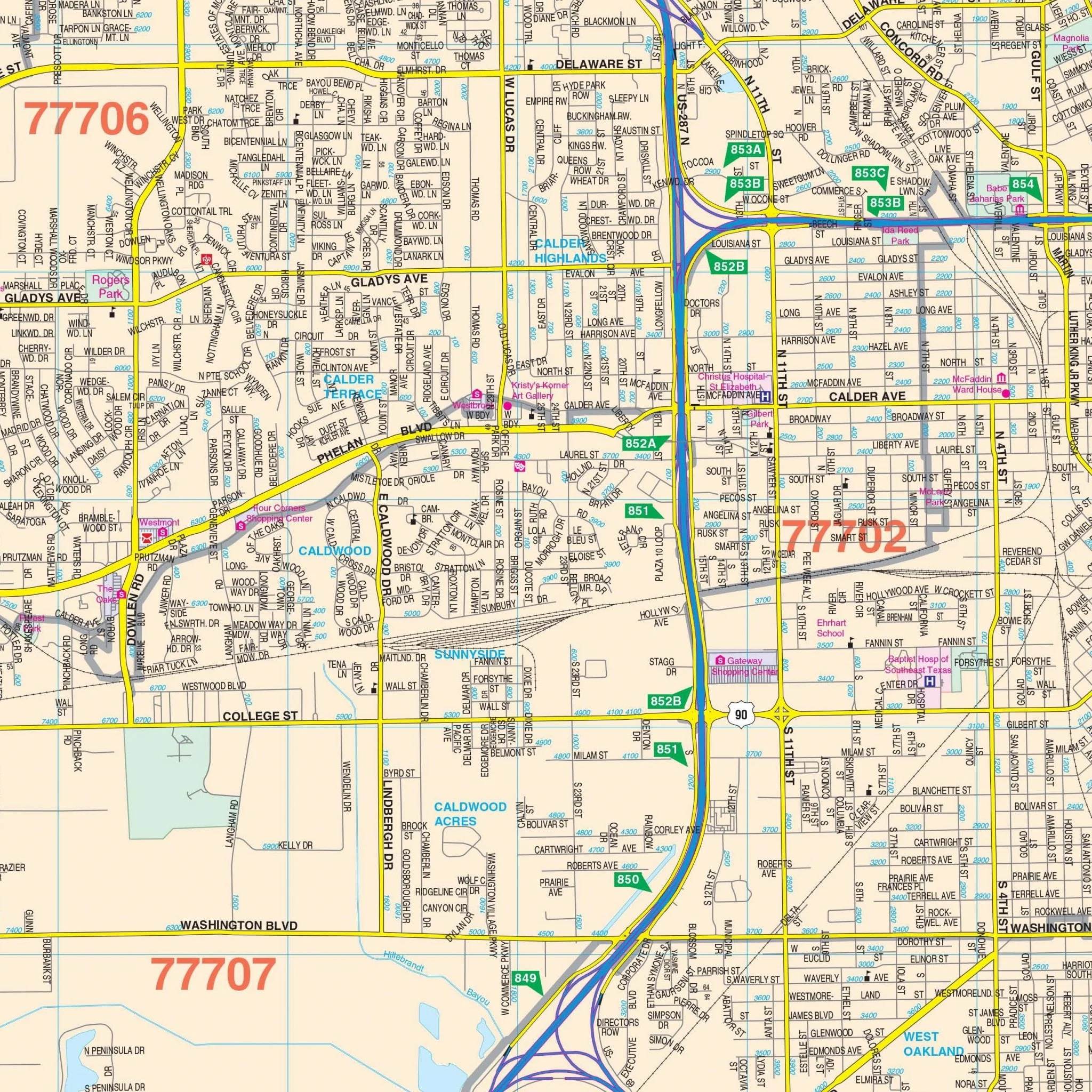
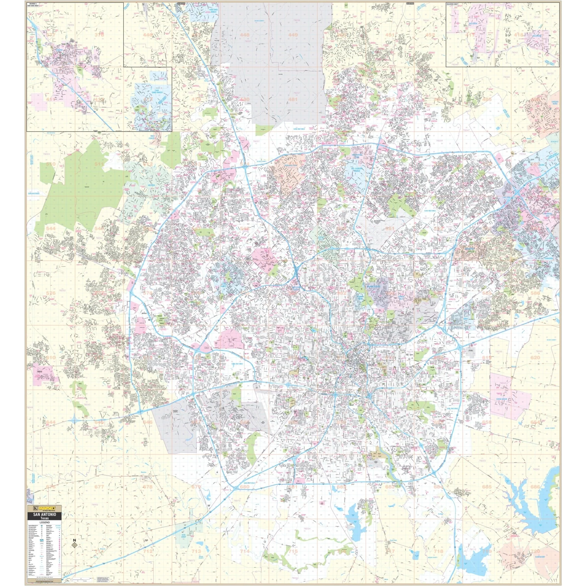
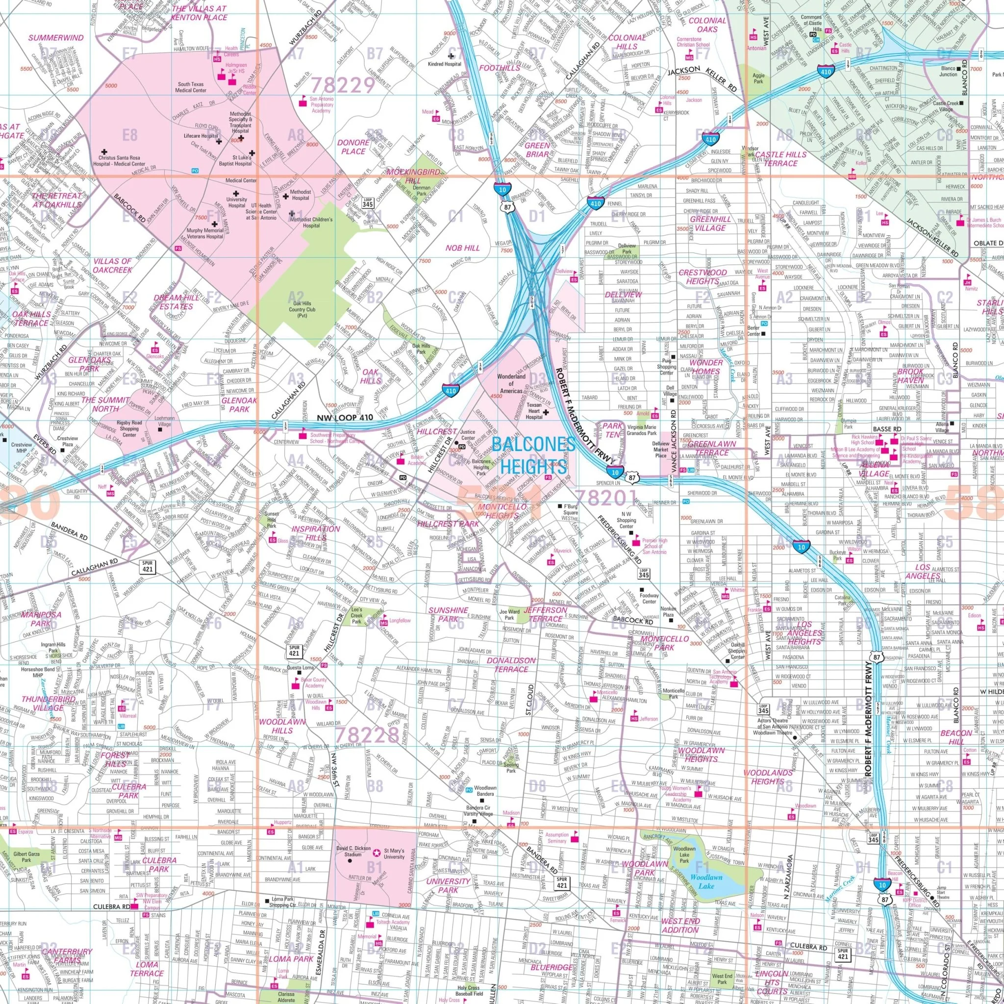
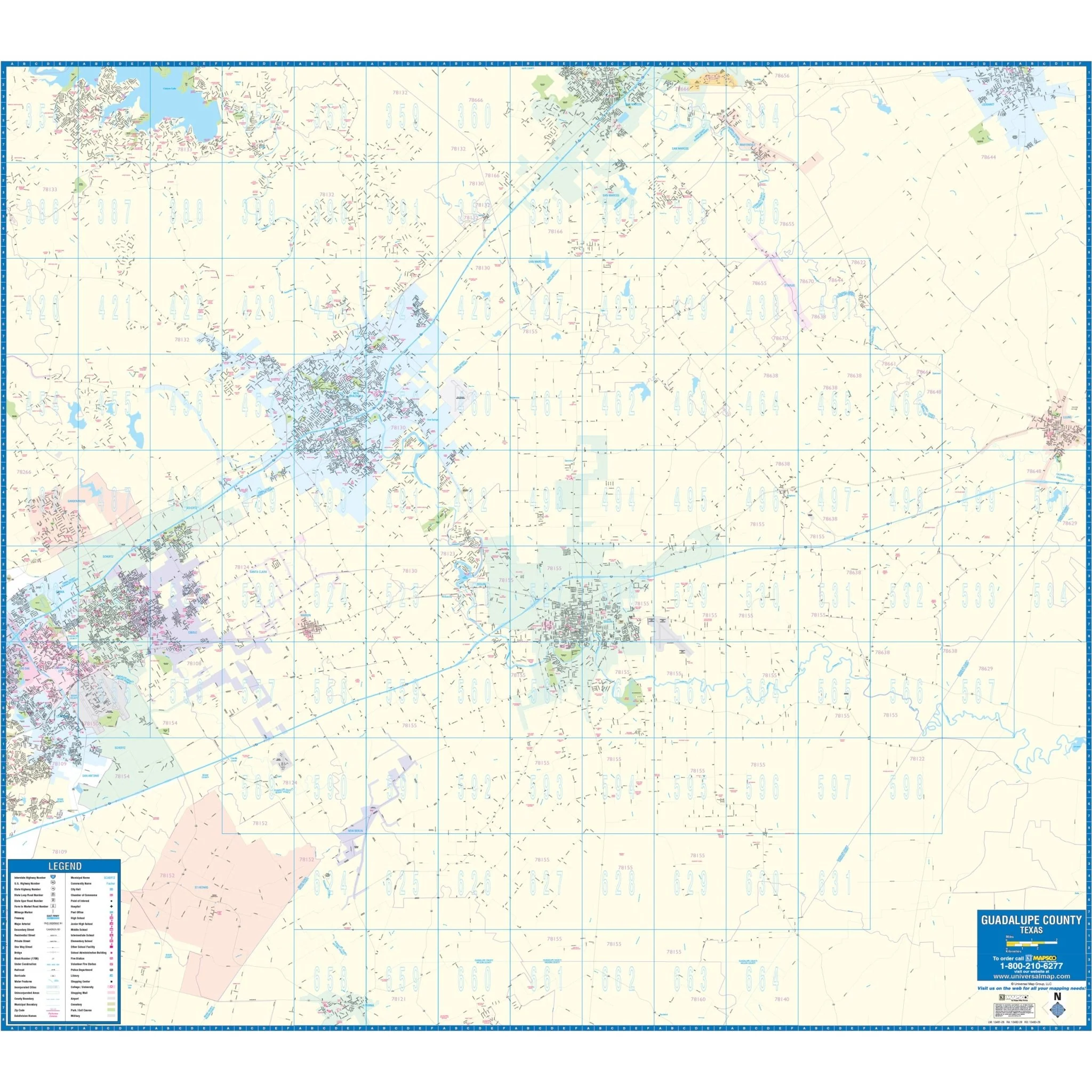
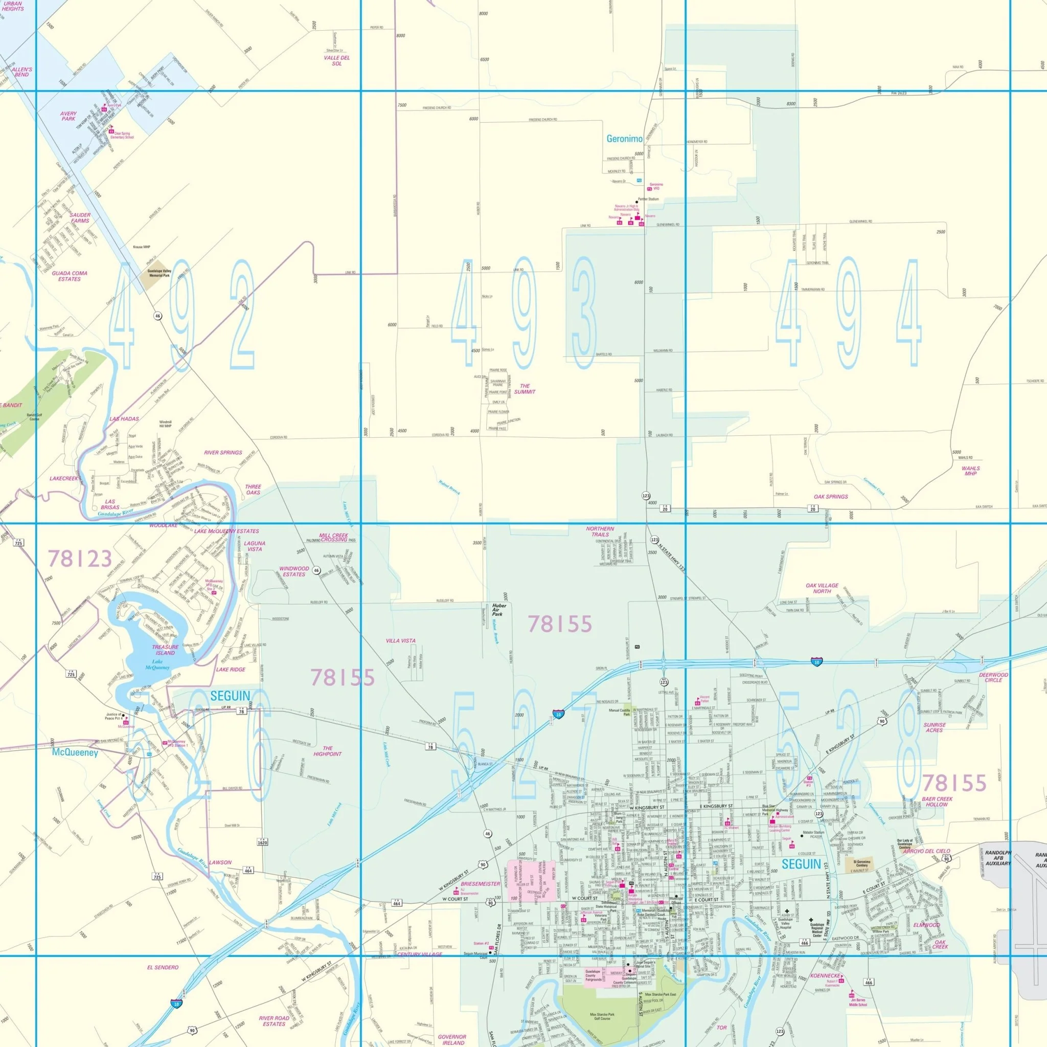
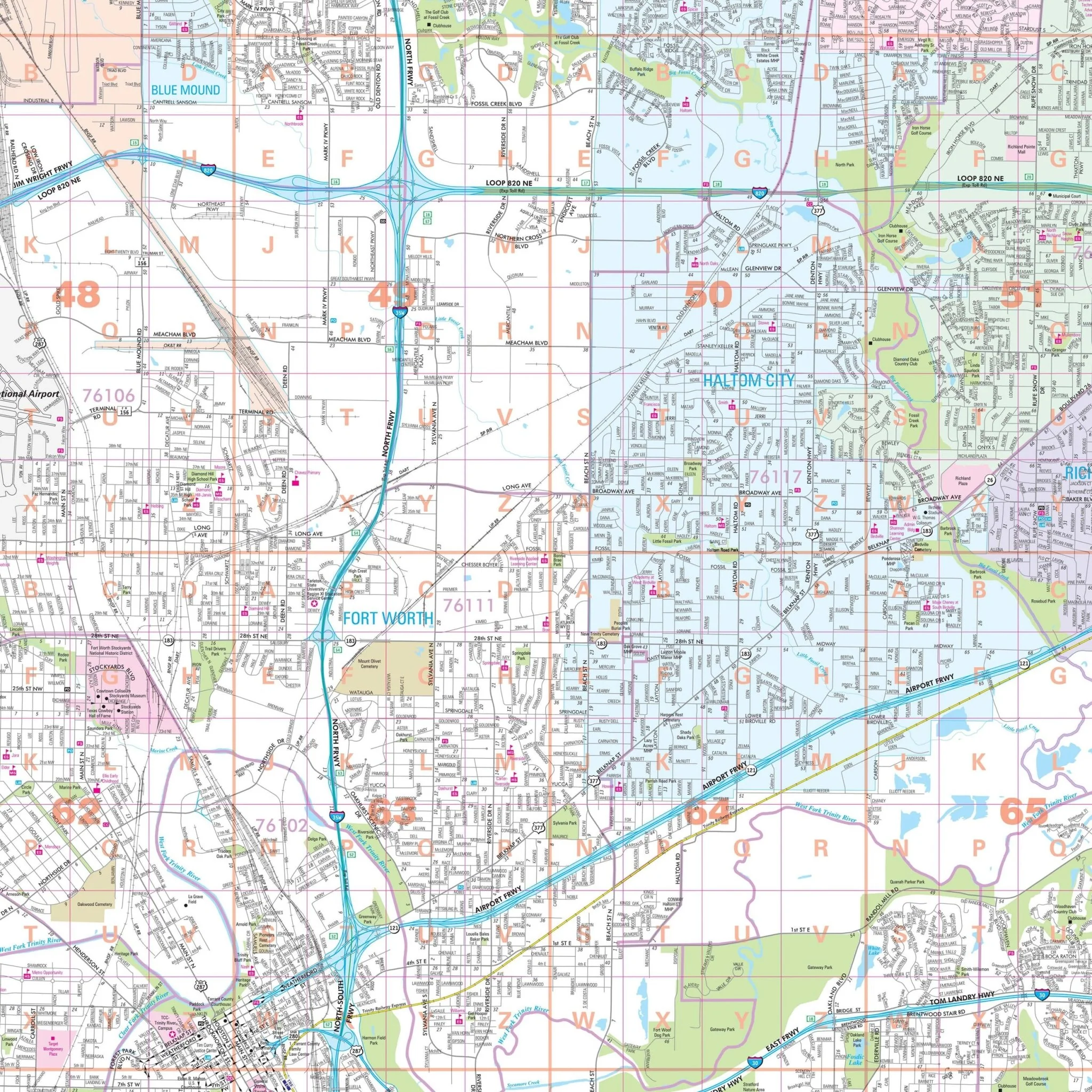
This wall map provides complete street detail at a scale of 1" = 2,740 feet and is compatible with Mapsco Street Guide for Ft Worth. Details featured on the map include streets, airports, government buildings, post offices, cemeteries, fire and police stations, hospitals, shopping centers, educational institutions, railroads, water features, golf and country clubs, mileage circles, recreational parks, ZIP codes and boundaries, as well as block numbers.
Size: 57" x 66.25"
Published: 2019
Original: $149.99
-70%$149.99
$45.00Product Information
Product Information
Shipping & Returns
Shipping & Returns
Description
The Fort Worth and Tarrant County, TX Wall Map covers the following area:
- North: City of Rhome and most of Flower Mound in Denton Co.
- South: Tarrant County Line
- East: Tarrant County Line and the Dallas/Ft Worth International Airport
- West: Tarrant County Line
This wall map provides complete street detail at a scale of 1" = 2,740 feet and is compatible with Mapsco Street Guide for Ft Worth. Details featured on the map include streets, airports, government buildings, post offices, cemeteries, fire and police stations, hospitals, shopping centers, educational institutions, railroads, water features, golf and country clubs, mileage circles, recreational parks, ZIP codes and boundaries, as well as block numbers.
Size: 57" x 66.25"
Published: 2019