


San Antonio, TX Metro Wall Map
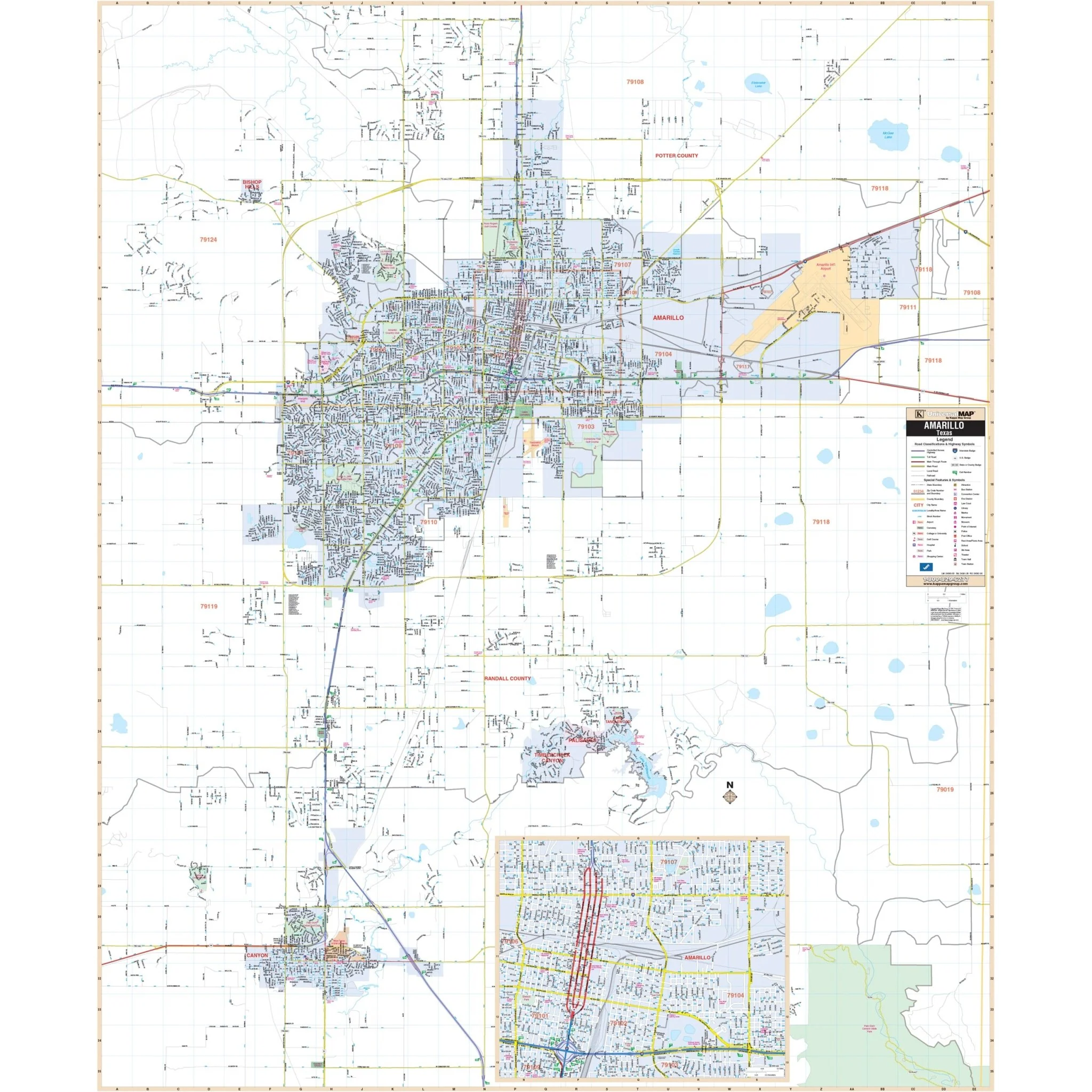
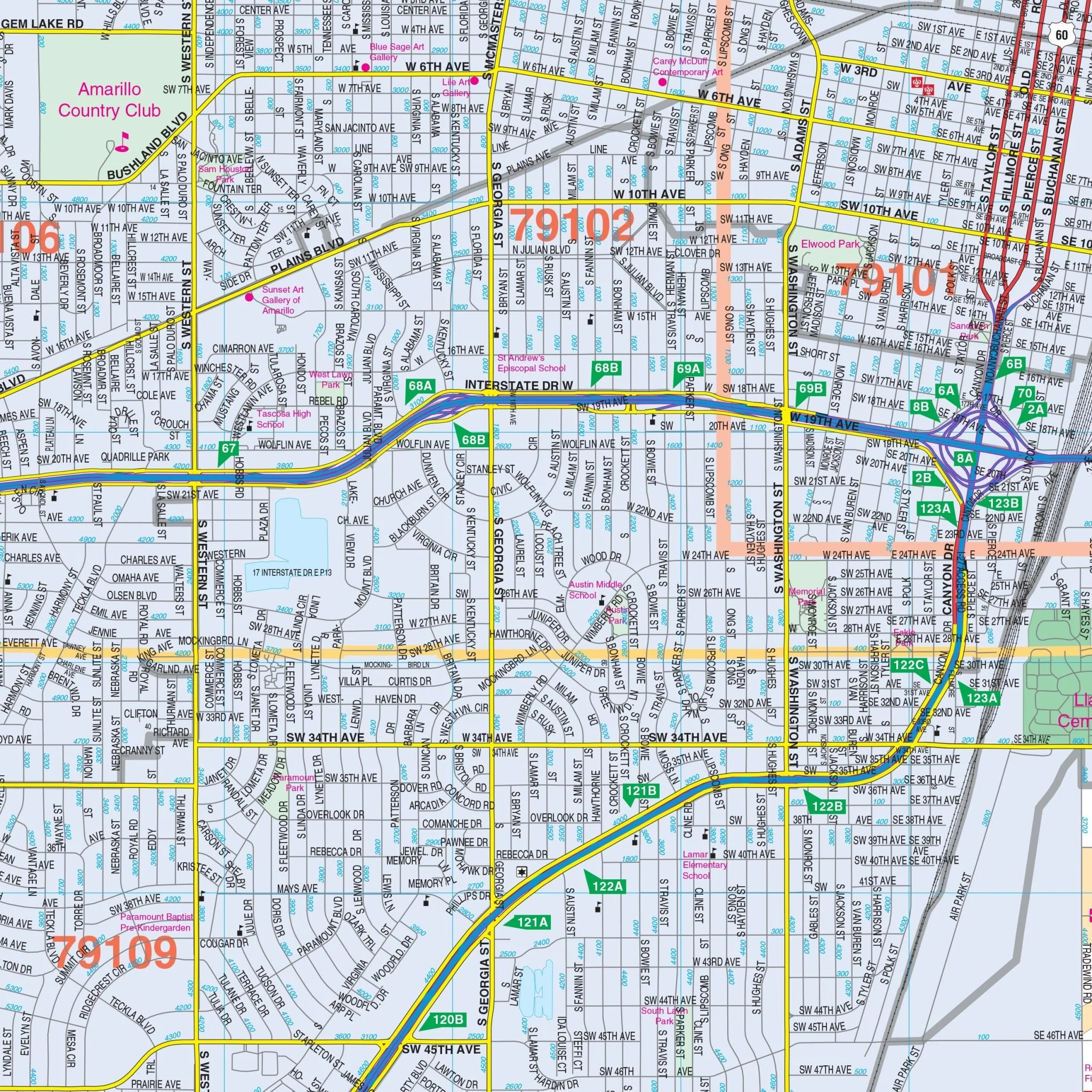
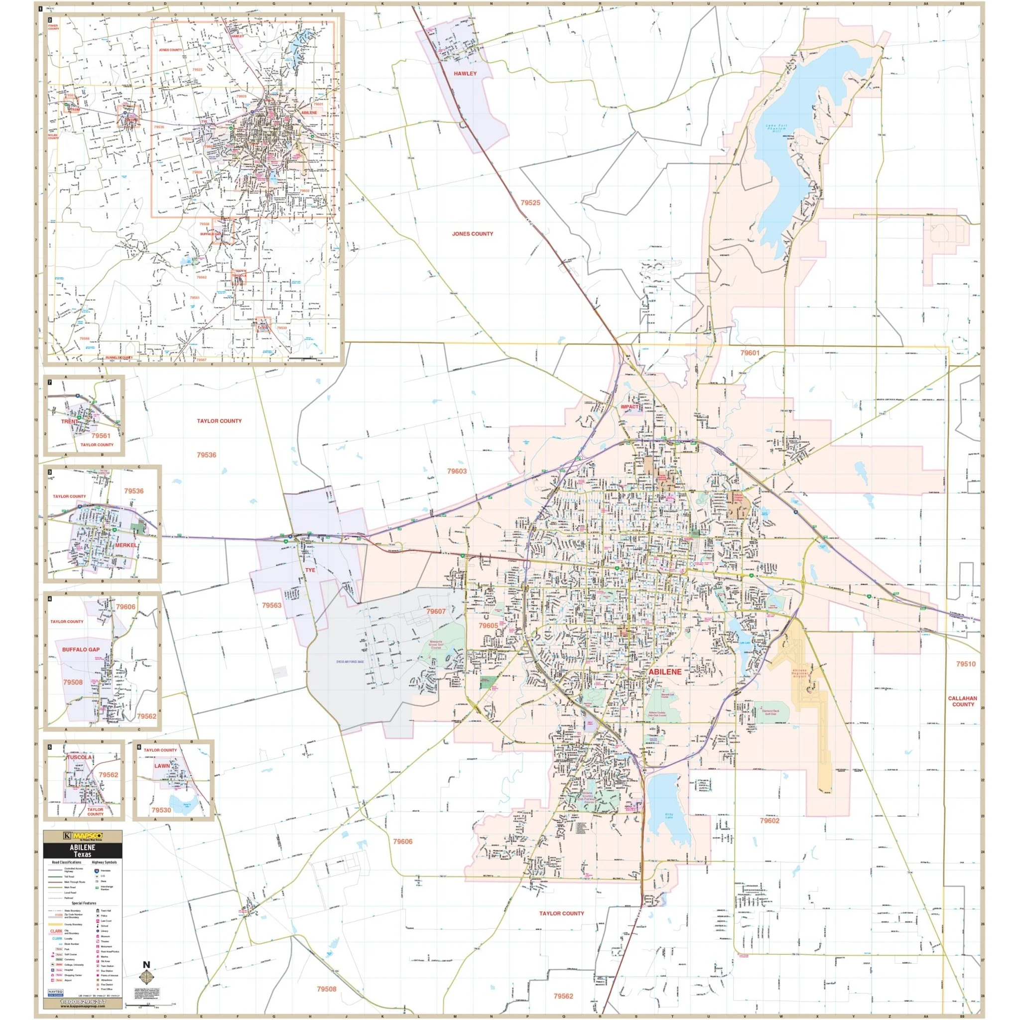
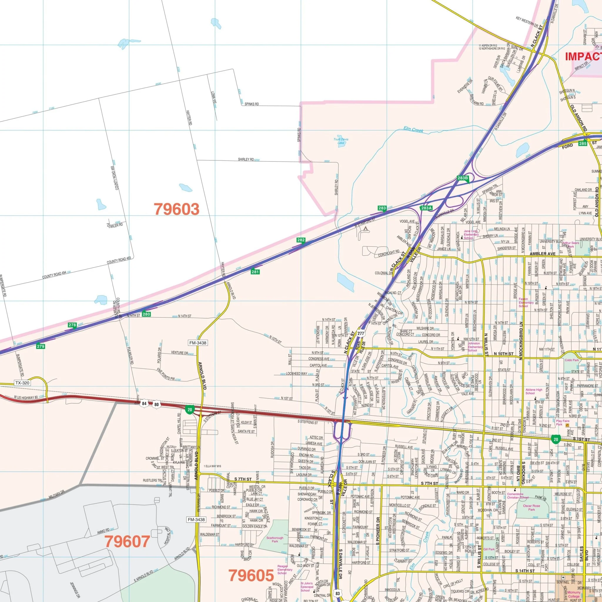
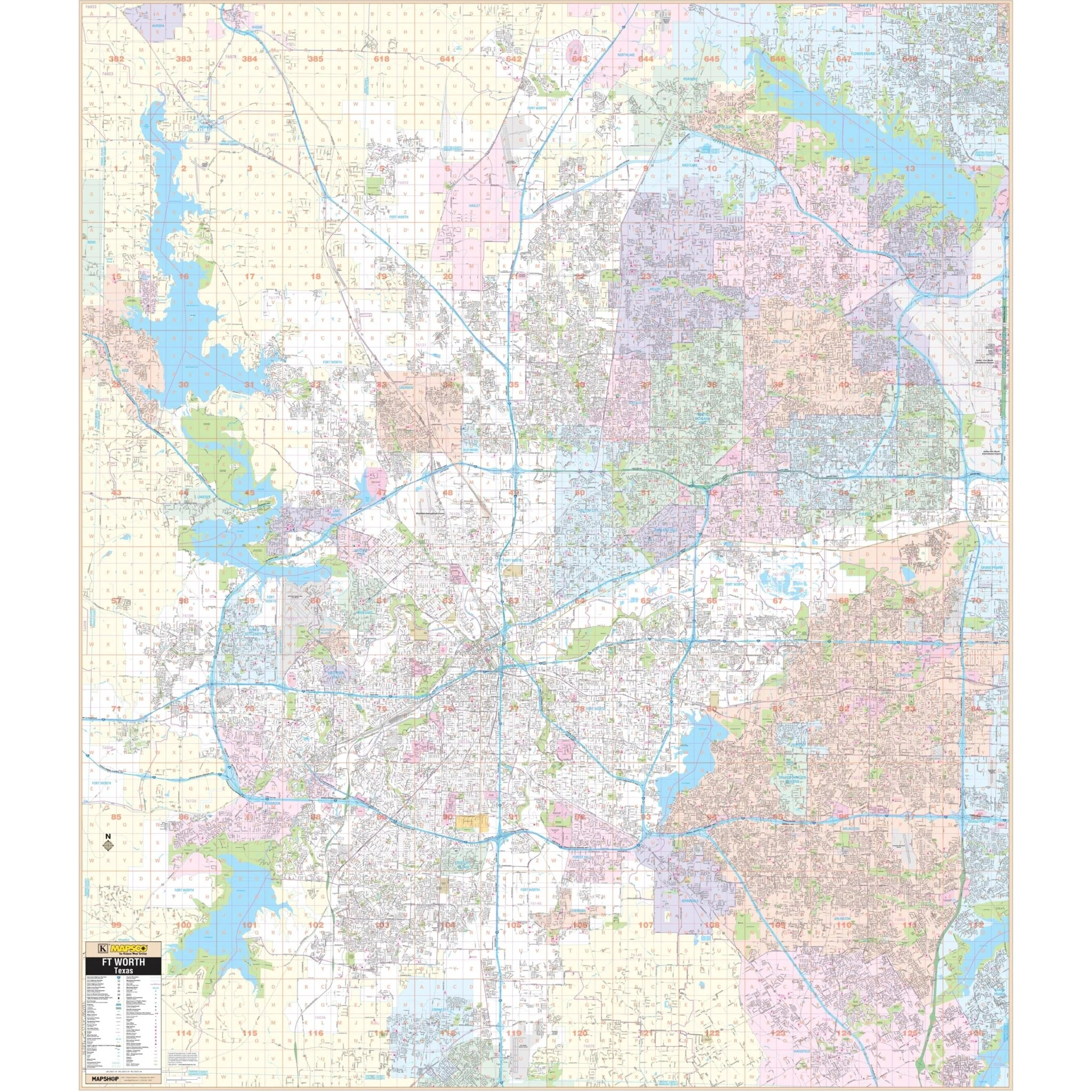
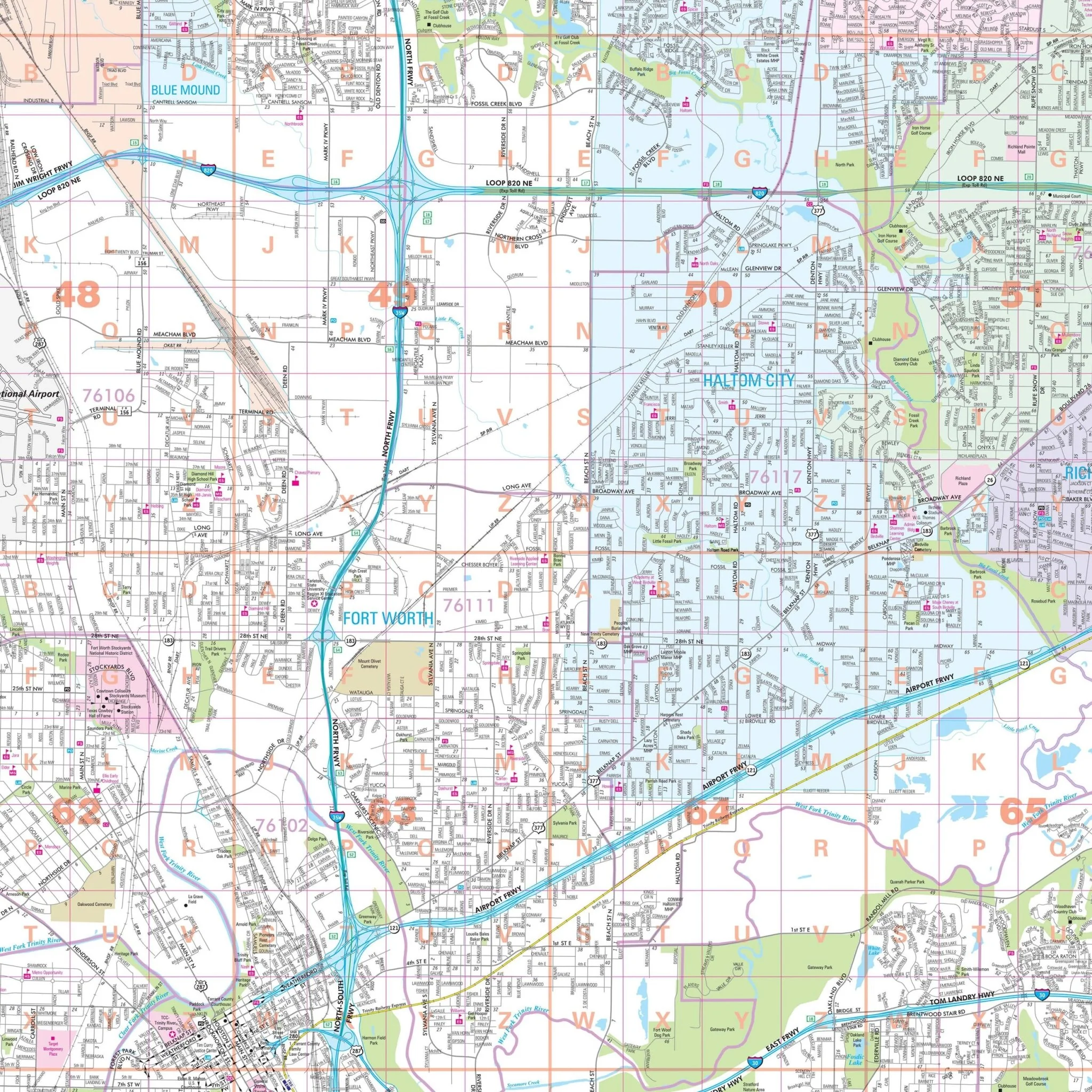
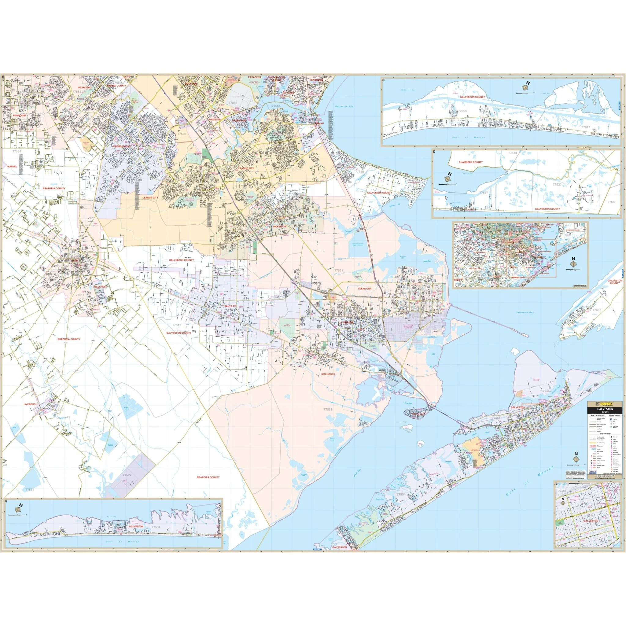
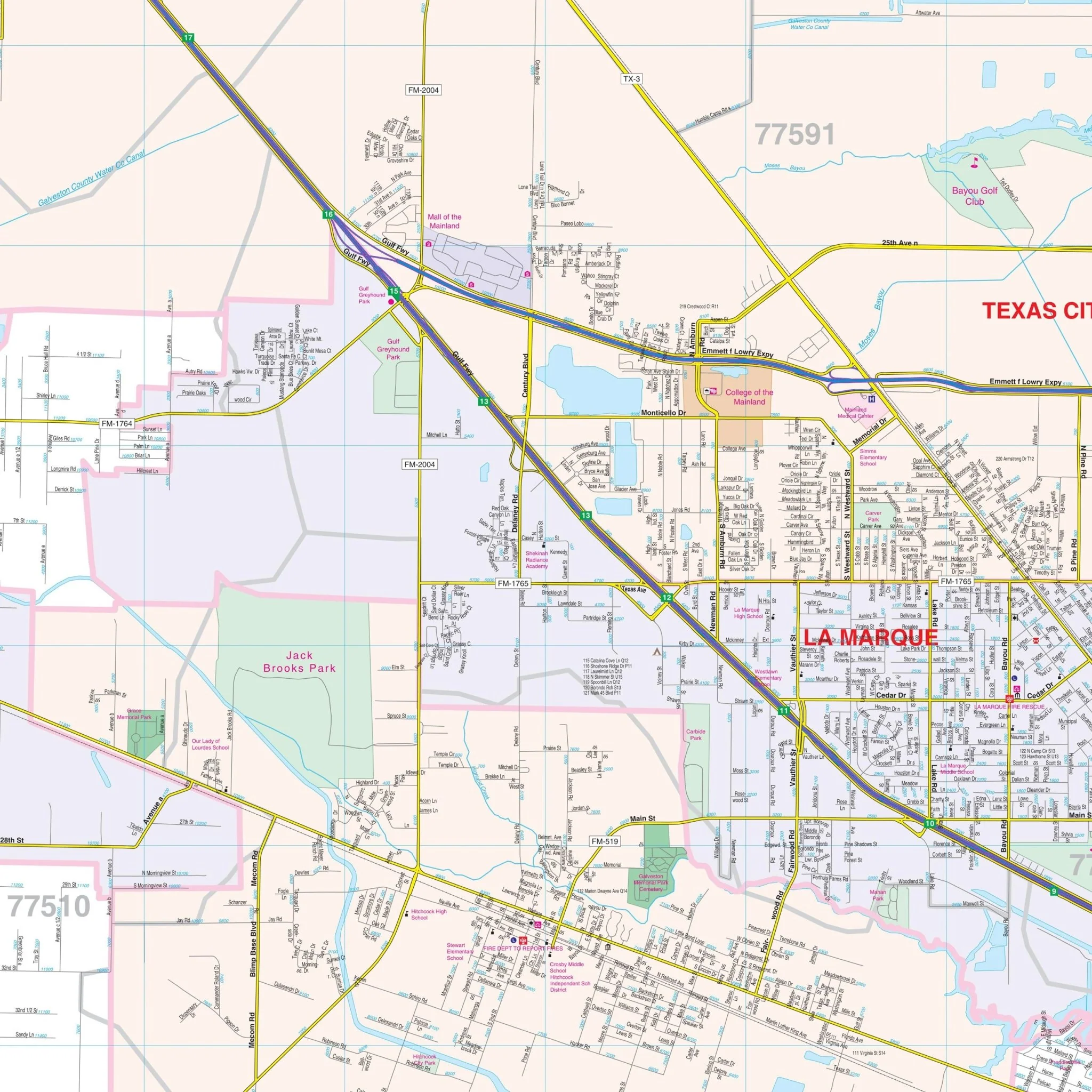
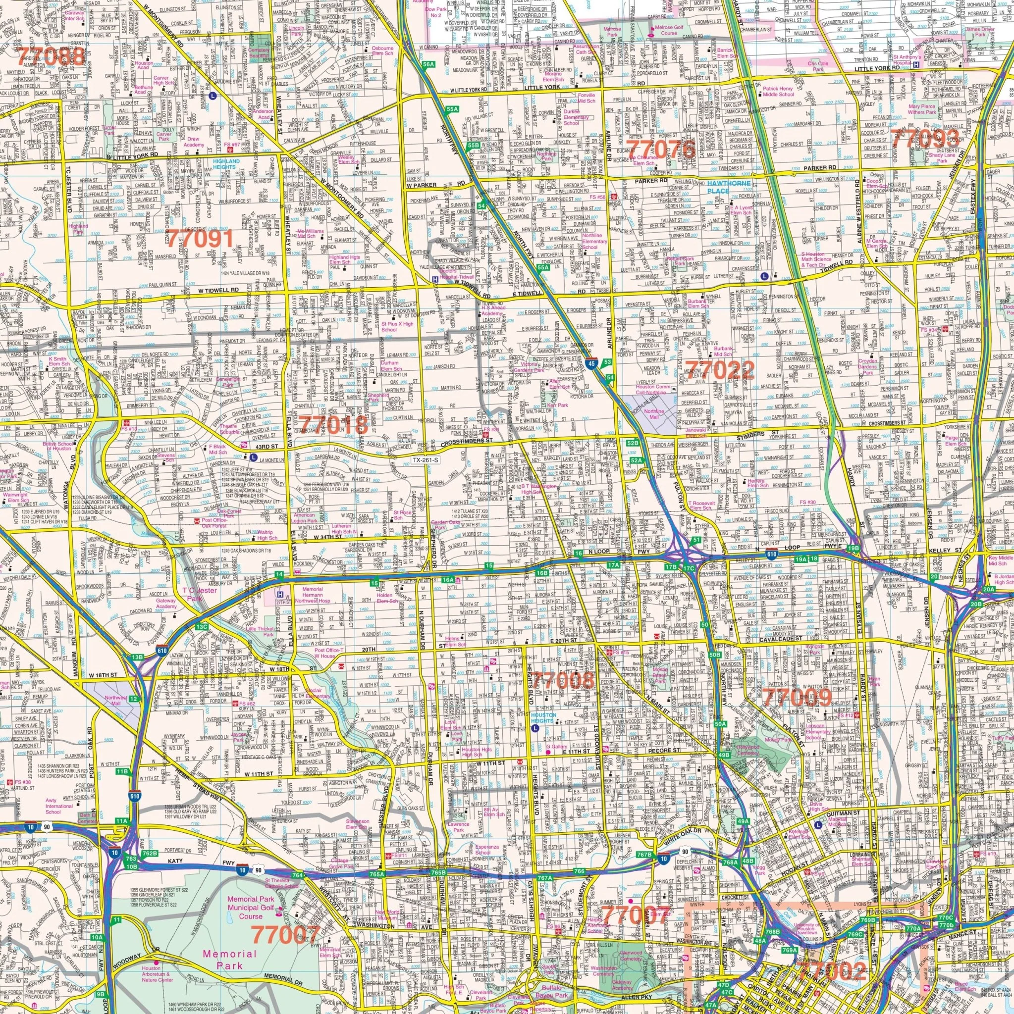
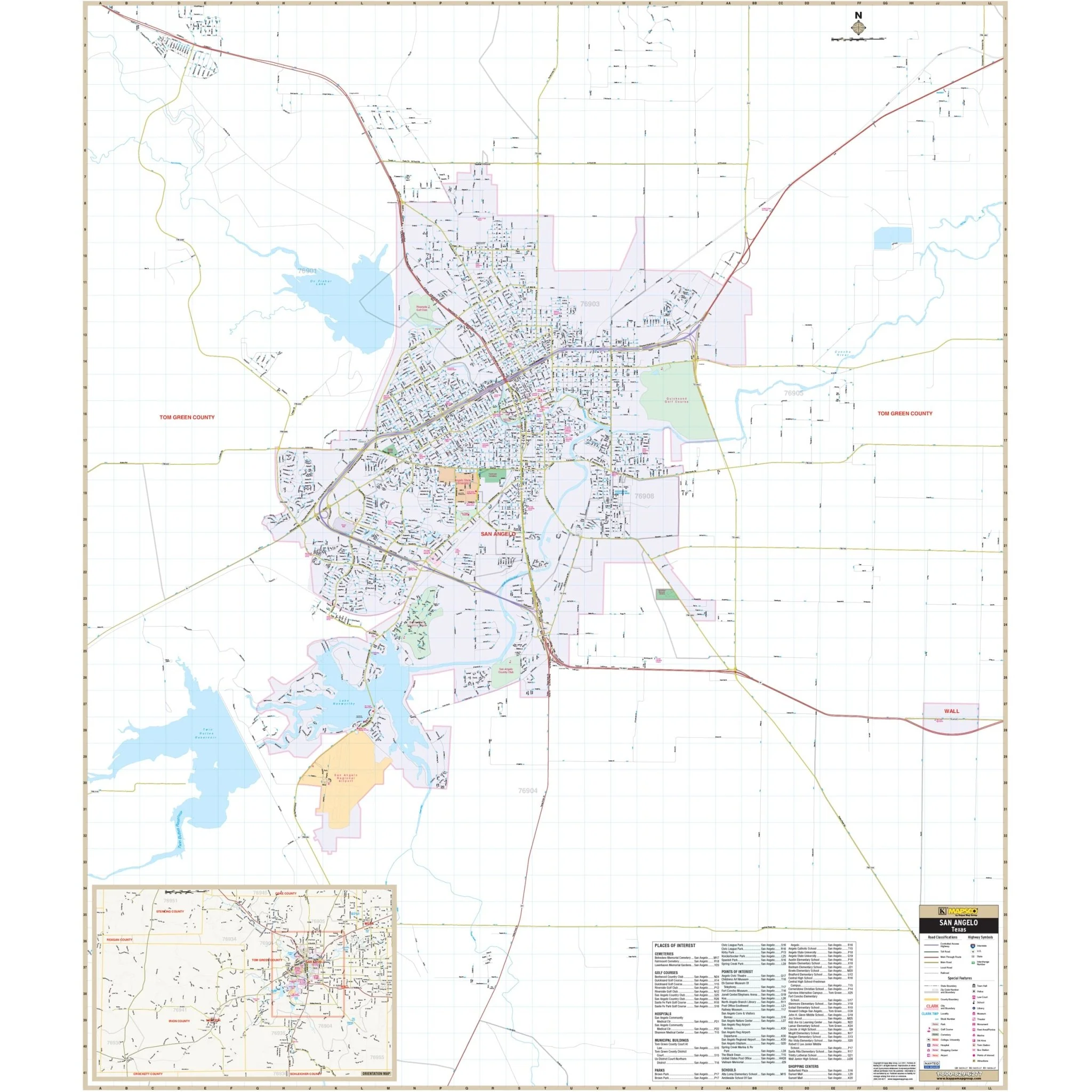
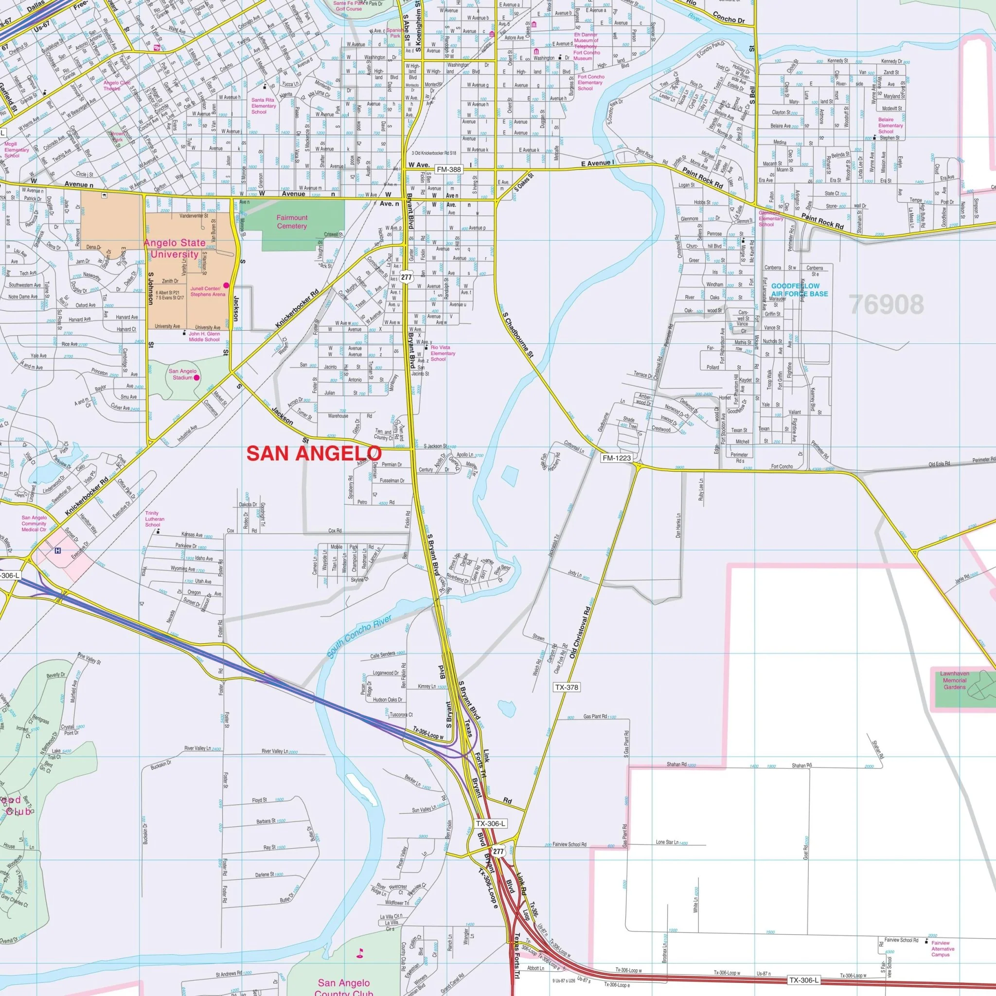
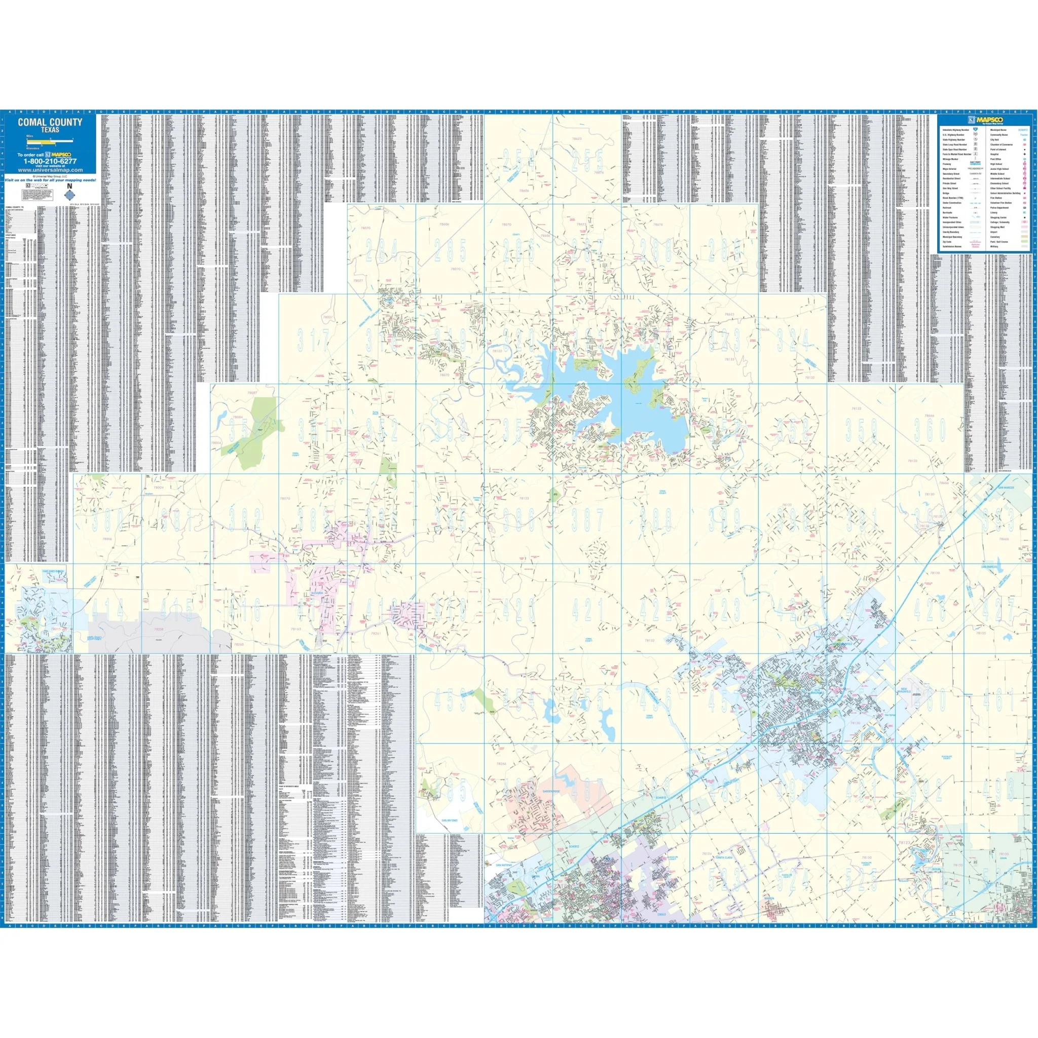
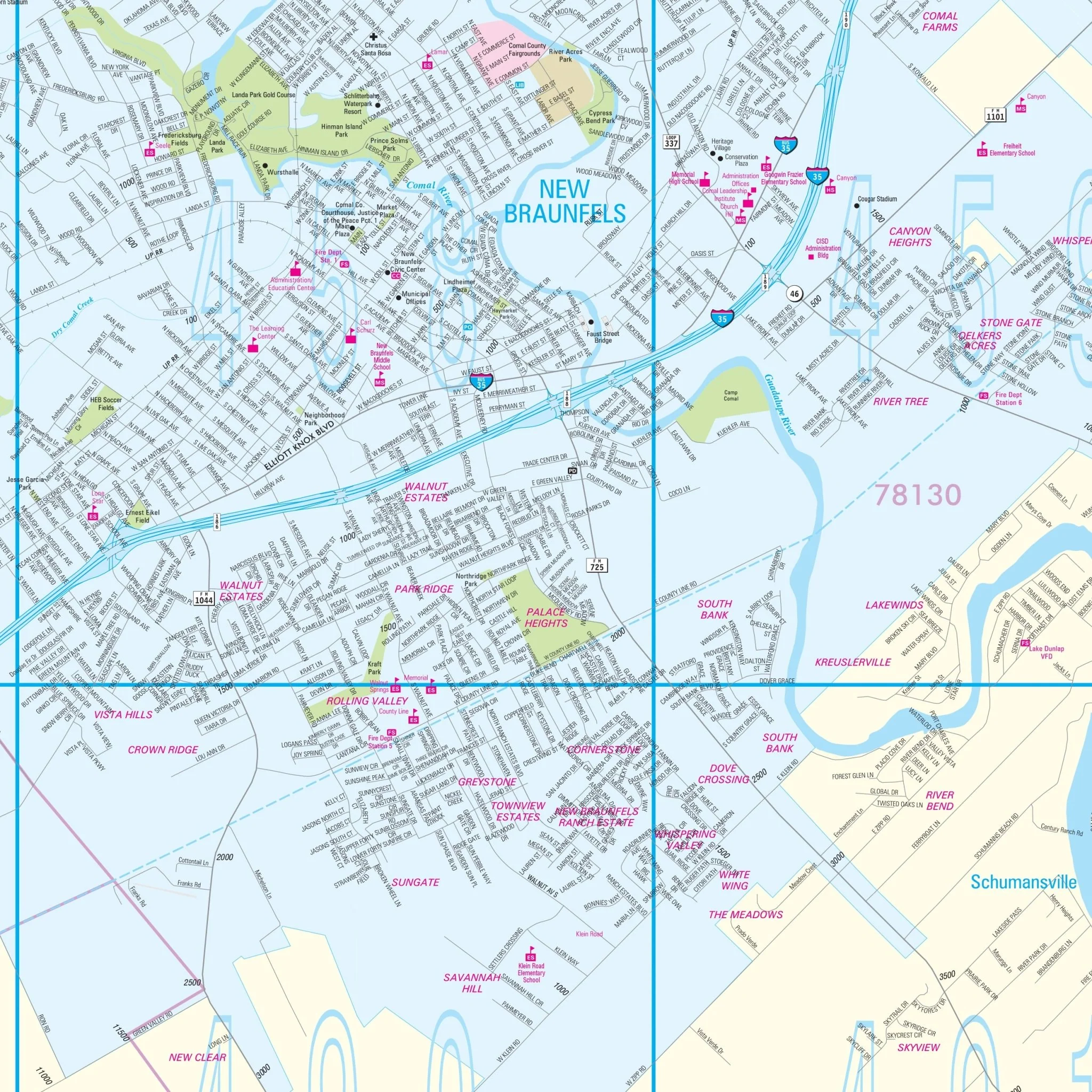
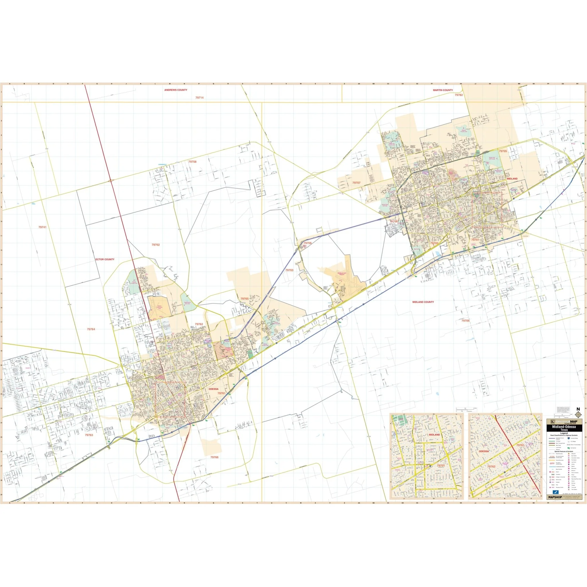
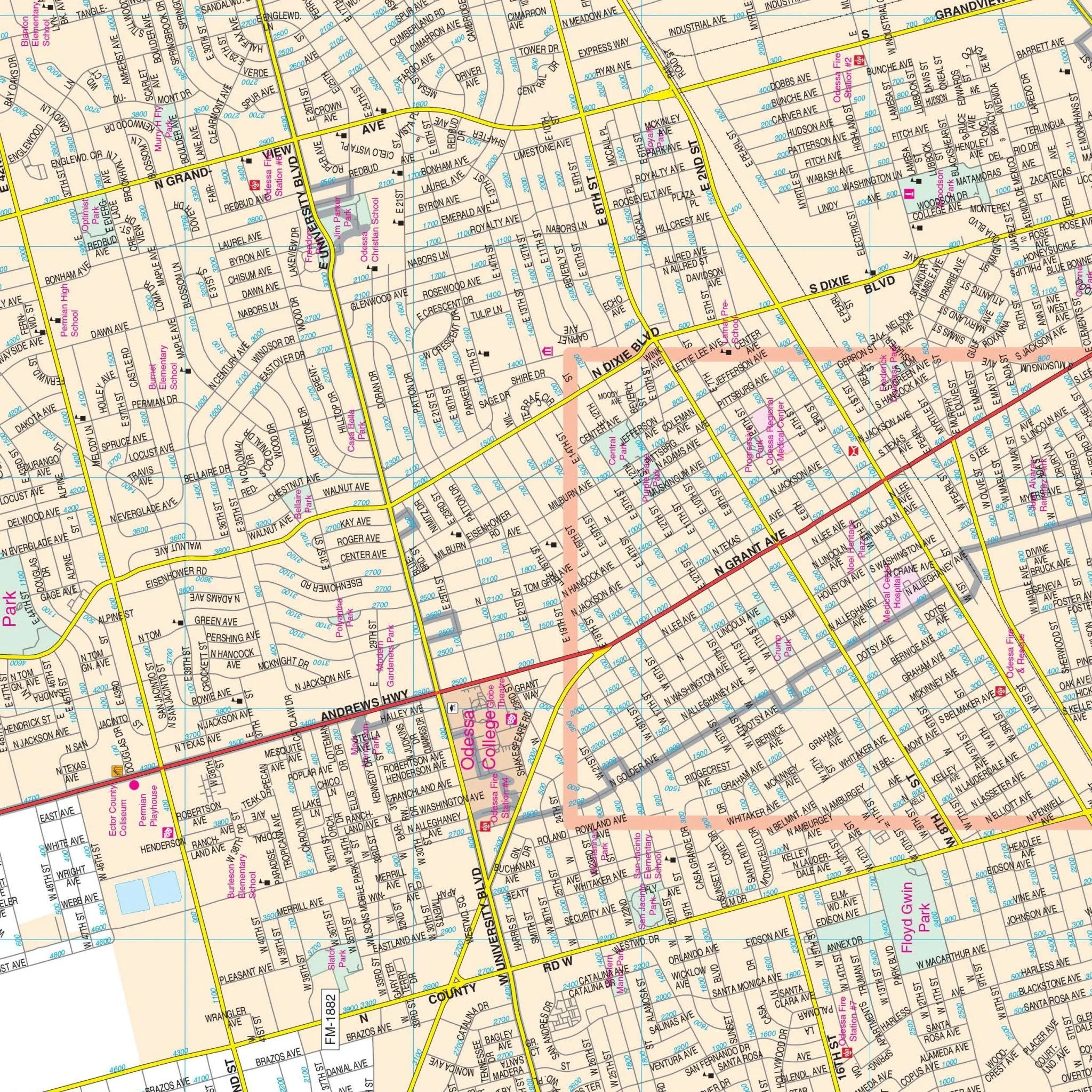
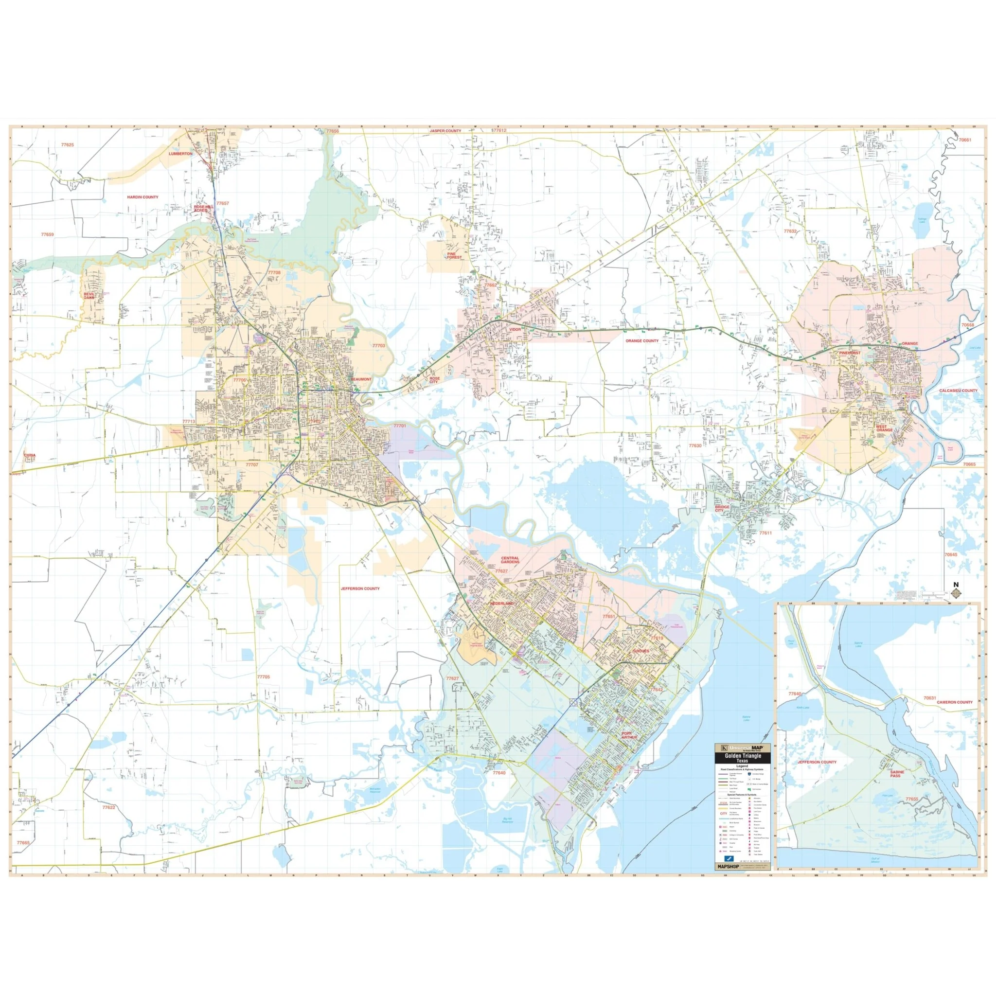
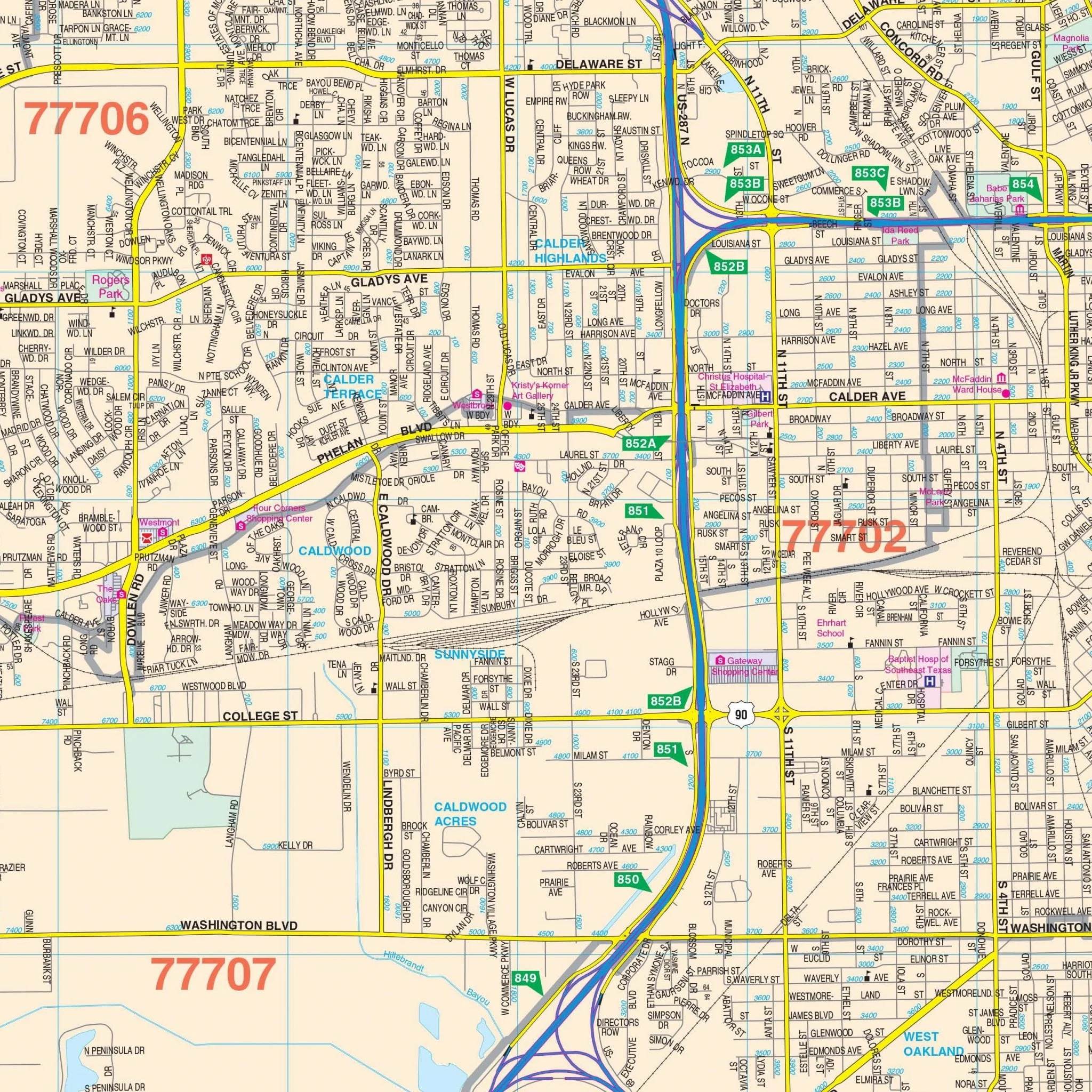
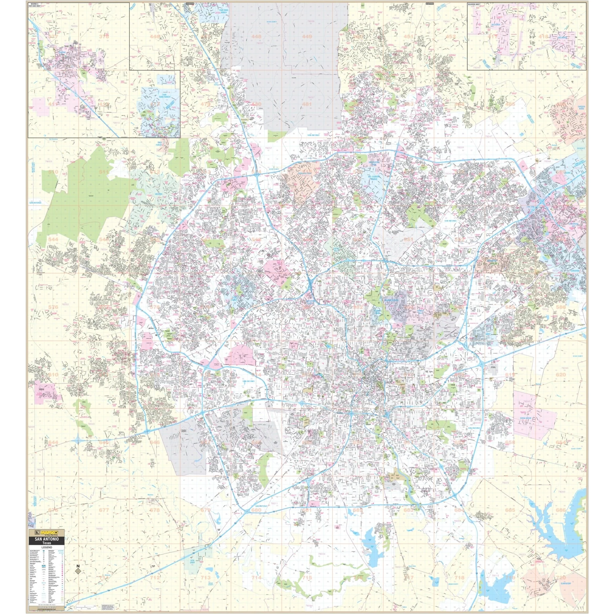
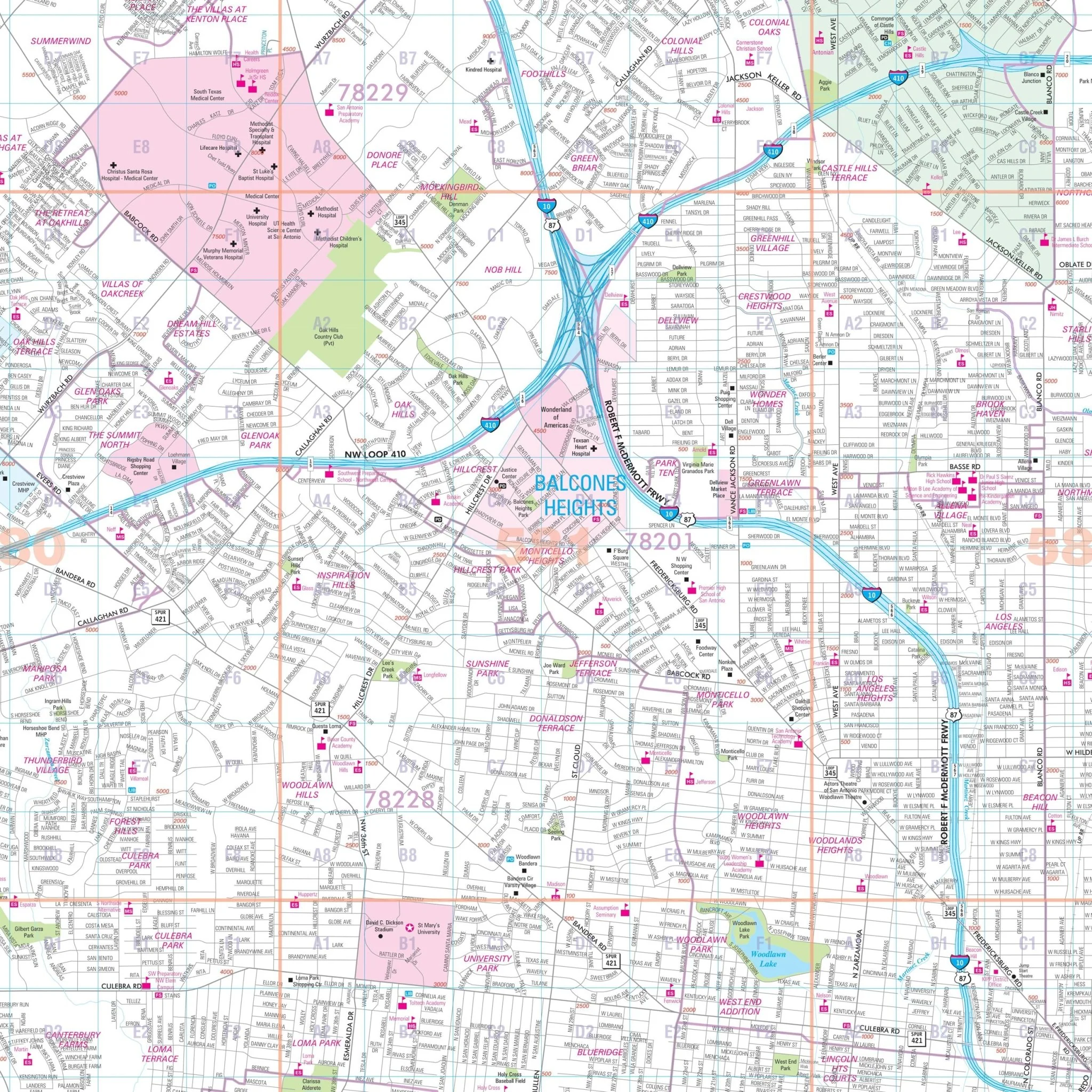
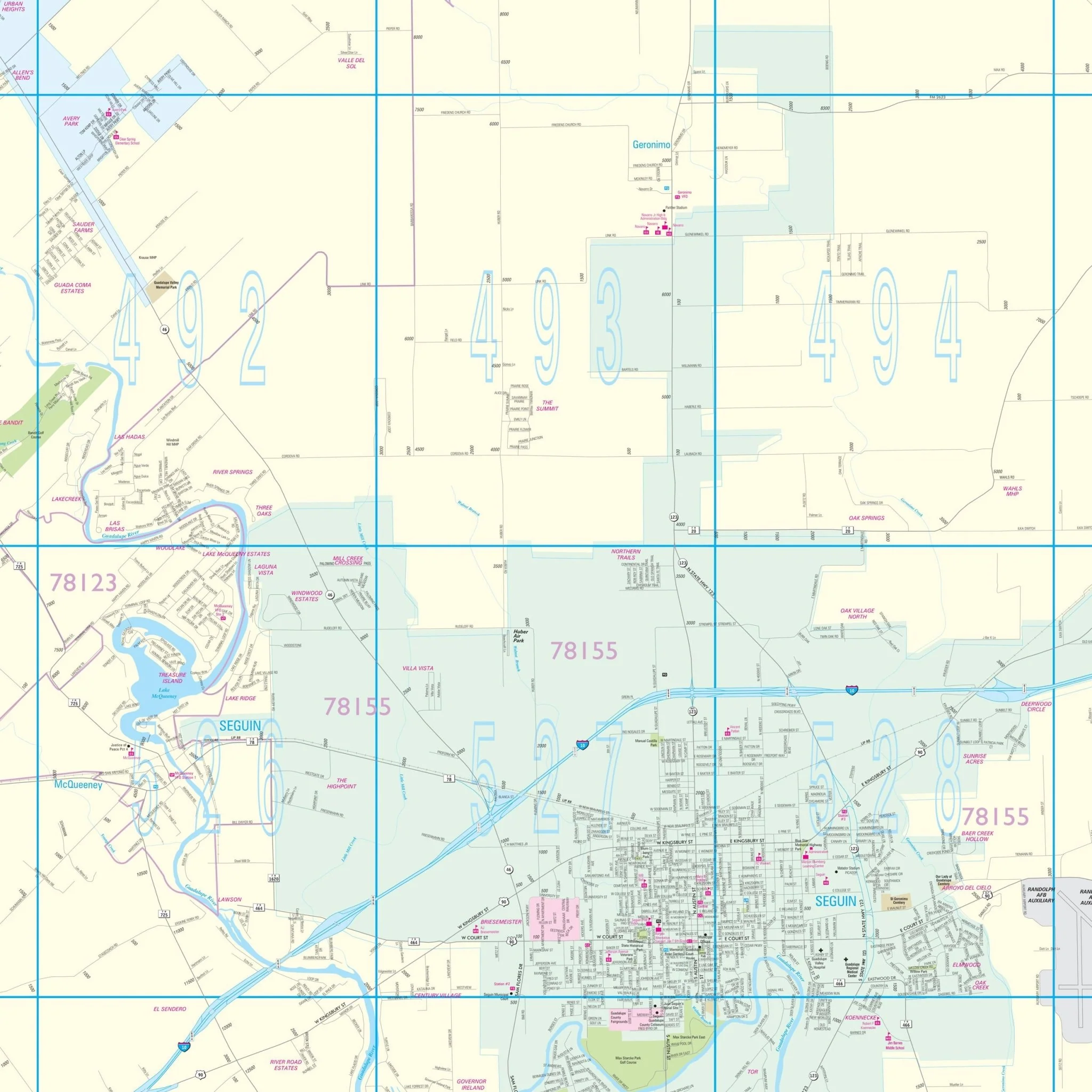
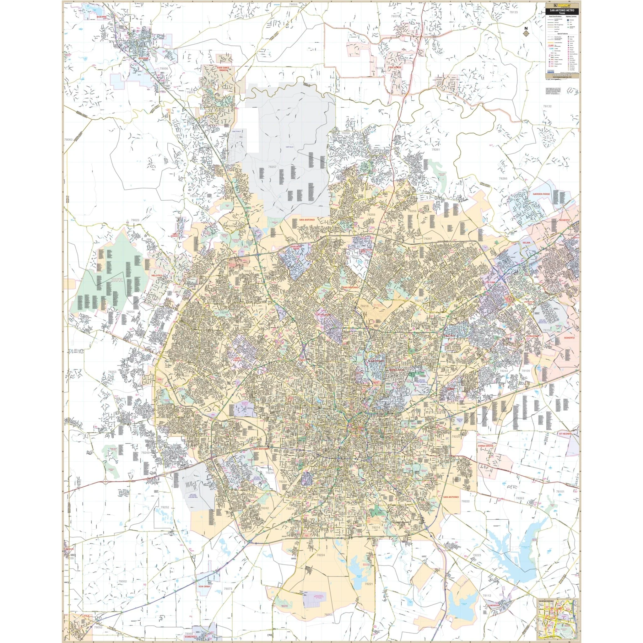
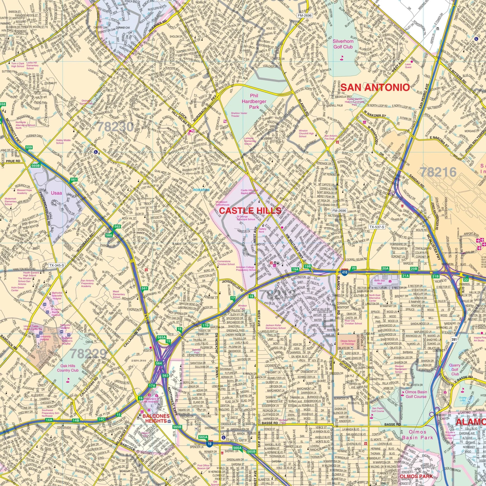
The San Antonio, TX Metro Wall Map is a comprehensive representation of the San Antonio metropolitan area, capturing the intricate network of roads and highways that facilitate movement within this vibrant city. It includes detailed renderings of streets, boulevards, and other critical transportation links. The map delineates neighborhood divisions, localities, and districts with subtle color variations, aiding in the distinction between the various areas.
In addition to thoroughfares, the map incorporates natural geographic features such as rivers, lakes, and parks, offering a sense of the natural landscape that interacts with the urban environment. It also marks out significant landmarks and public facilities, providing a useful tool for both newcomers and long-time residents. The inclusion of zoning areas and municipal boundaries serves as a valuable resource for business and government use. Overall, the map combines functionality with a detailed urban layout, presenting a clear picture of San Antonio's metropolitan expanse.
Size: 65" x 80"
Published: 2013
Original: $209.99
-70%$209.99
$63.00Product Information
Product Information
Shipping & Returns
Shipping & Returns
Description
The San Antonio, TX Metro Wall Map is a comprehensive representation of the San Antonio metropolitan area, capturing the intricate network of roads and highways that facilitate movement within this vibrant city. It includes detailed renderings of streets, boulevards, and other critical transportation links. The map delineates neighborhood divisions, localities, and districts with subtle color variations, aiding in the distinction between the various areas.
In addition to thoroughfares, the map incorporates natural geographic features such as rivers, lakes, and parks, offering a sense of the natural landscape that interacts with the urban environment. It also marks out significant landmarks and public facilities, providing a useful tool for both newcomers and long-time residents. The inclusion of zoning areas and municipal boundaries serves as a valuable resource for business and government use. Overall, the map combines functionality with a detailed urban layout, presenting a clear picture of San Antonio's metropolitan expanse.
Size: 65" x 80"
Published: 2013