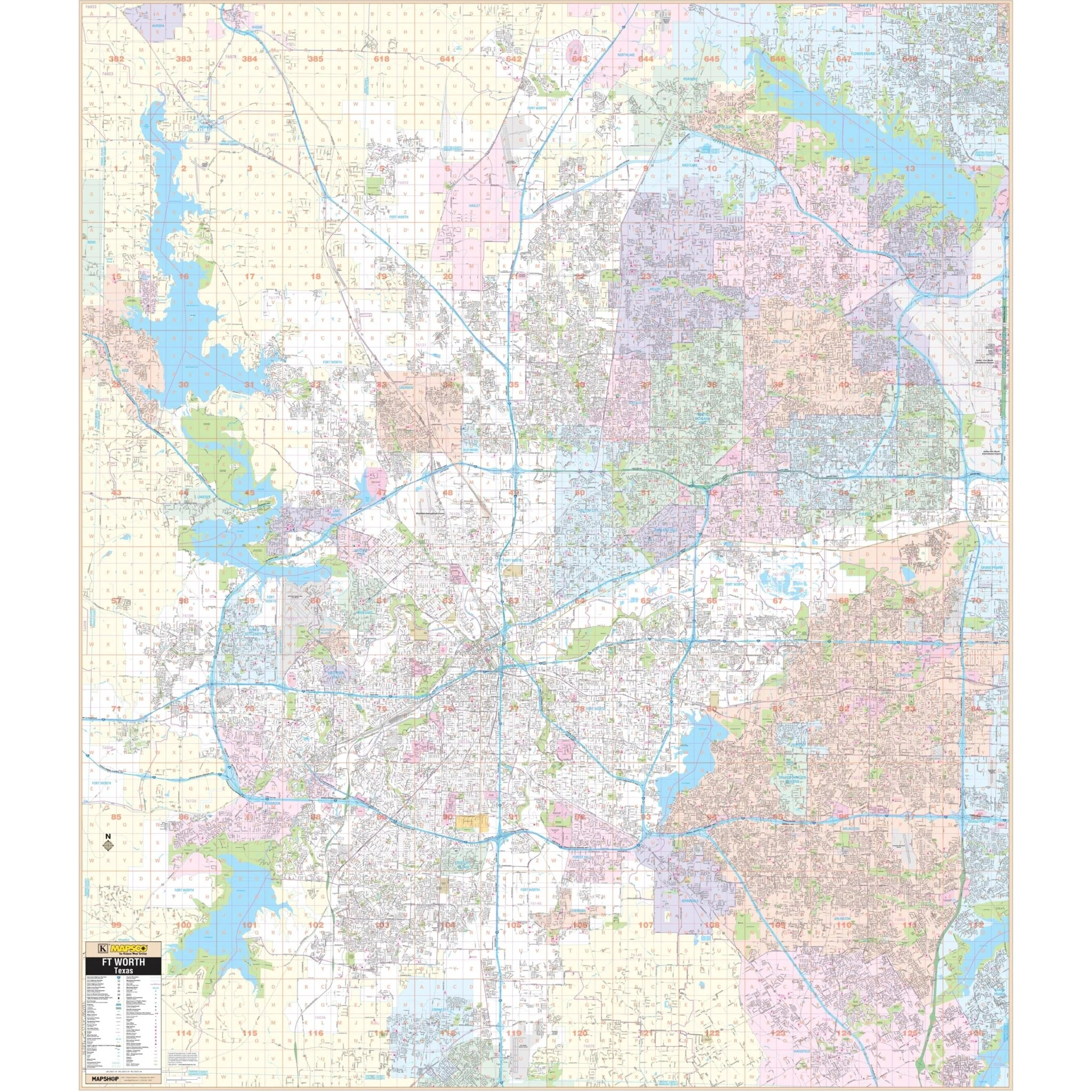


San Antonio, TX Wall Map
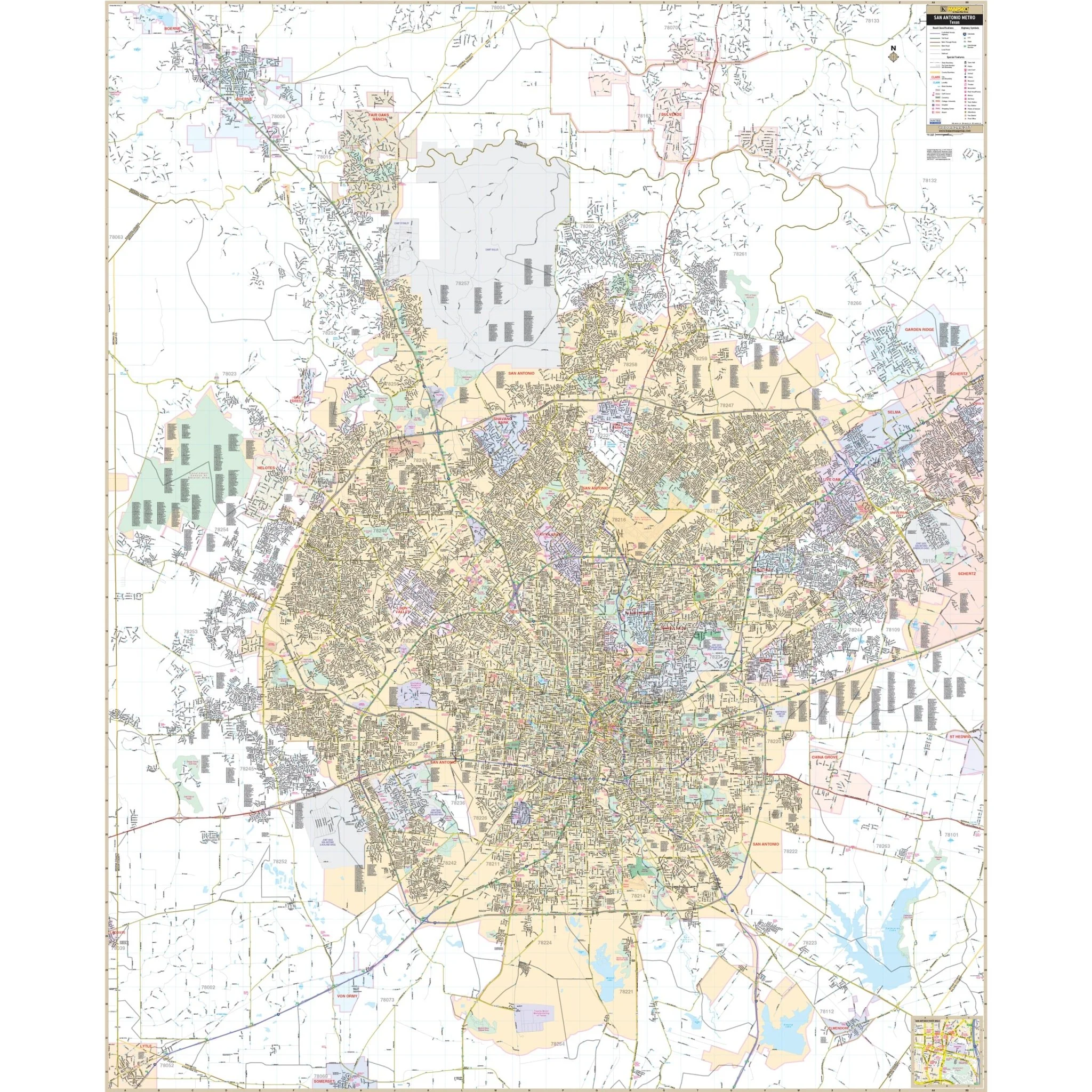
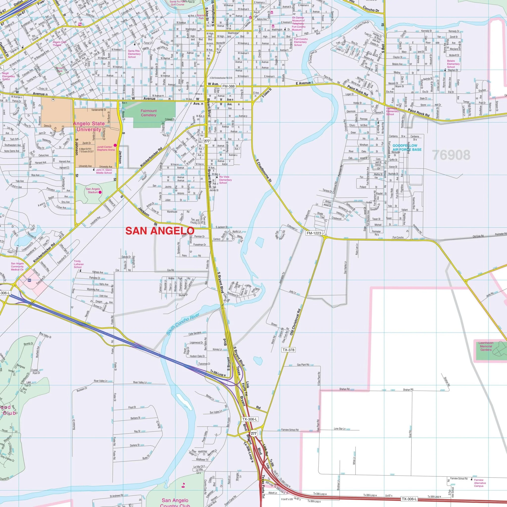
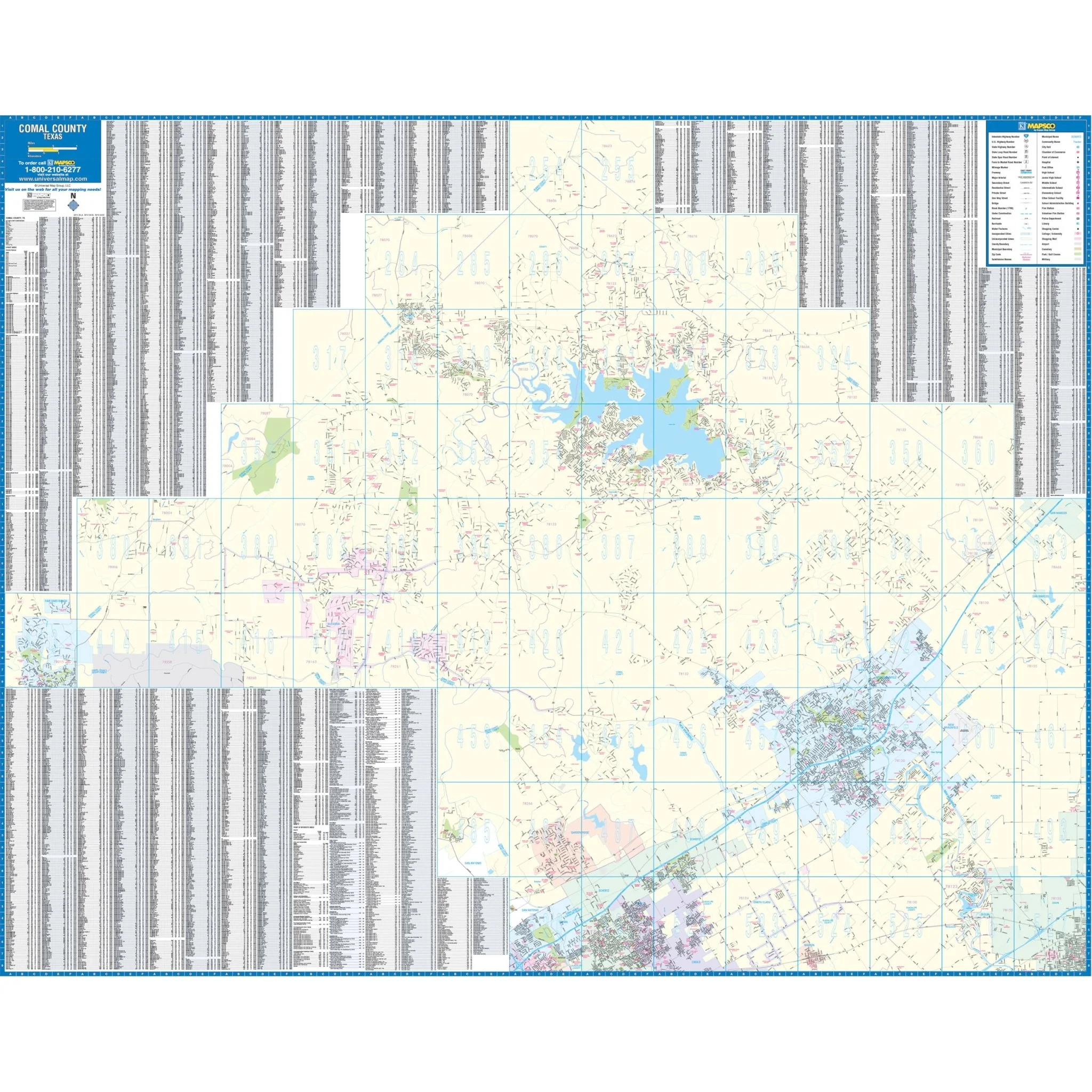
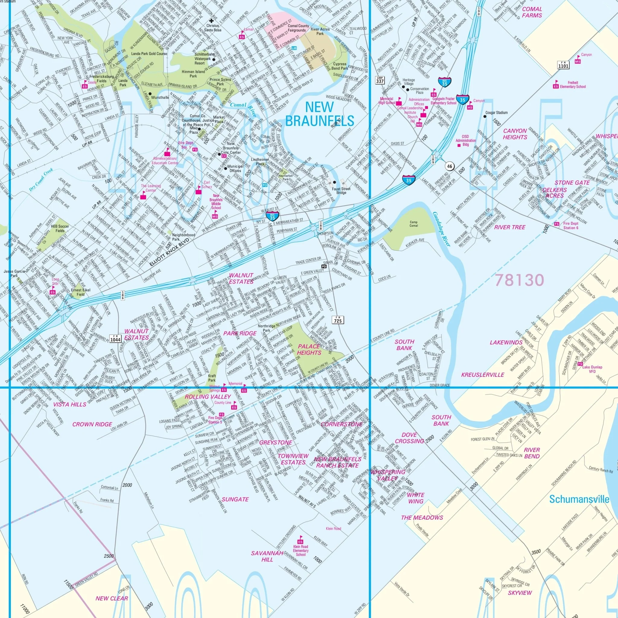
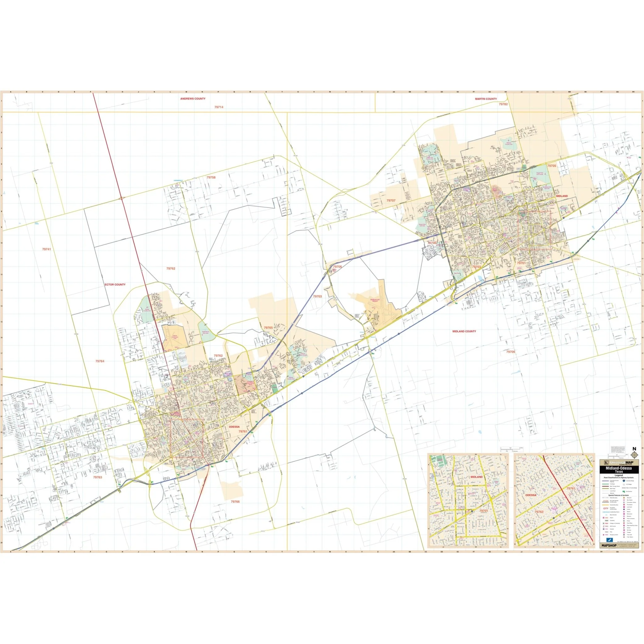
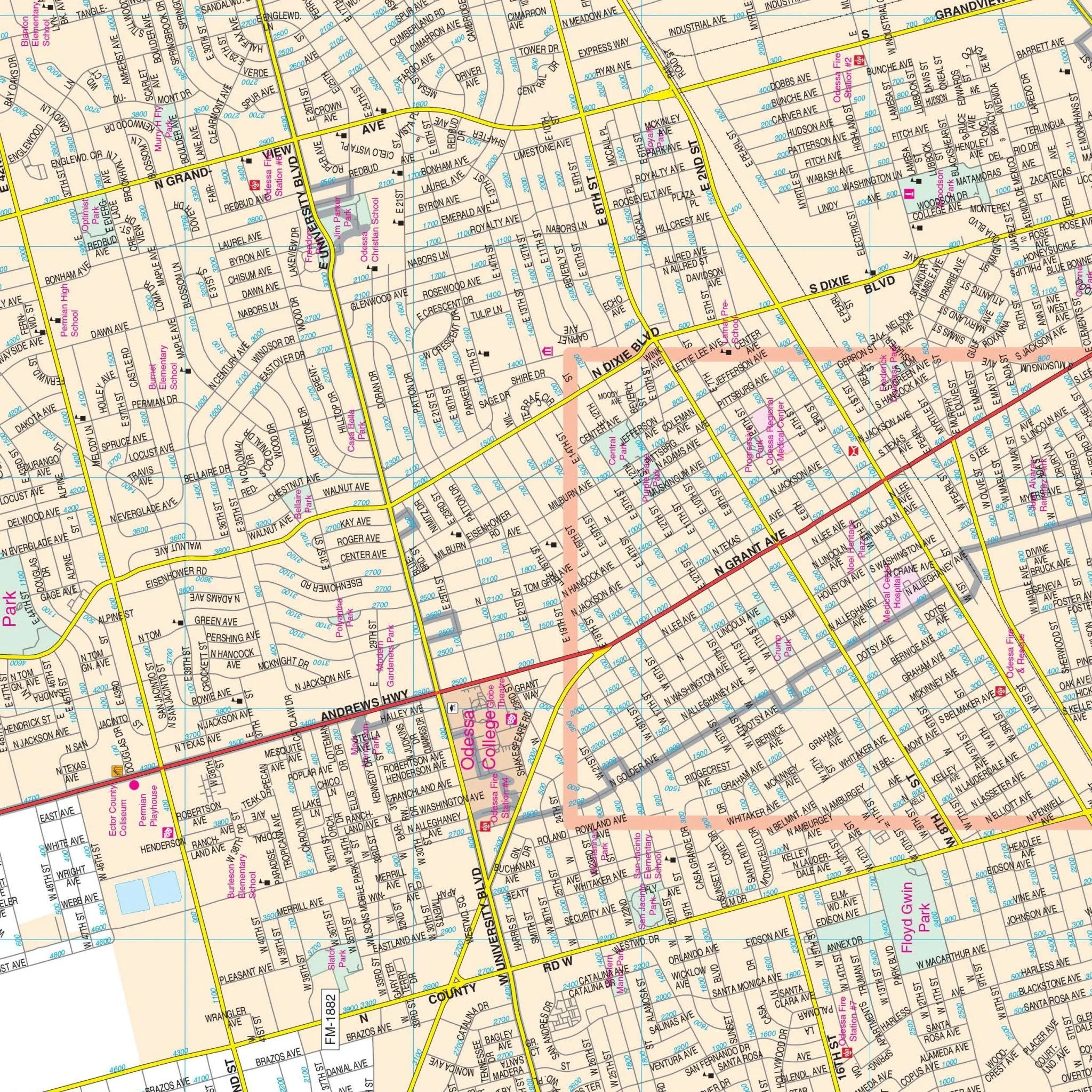
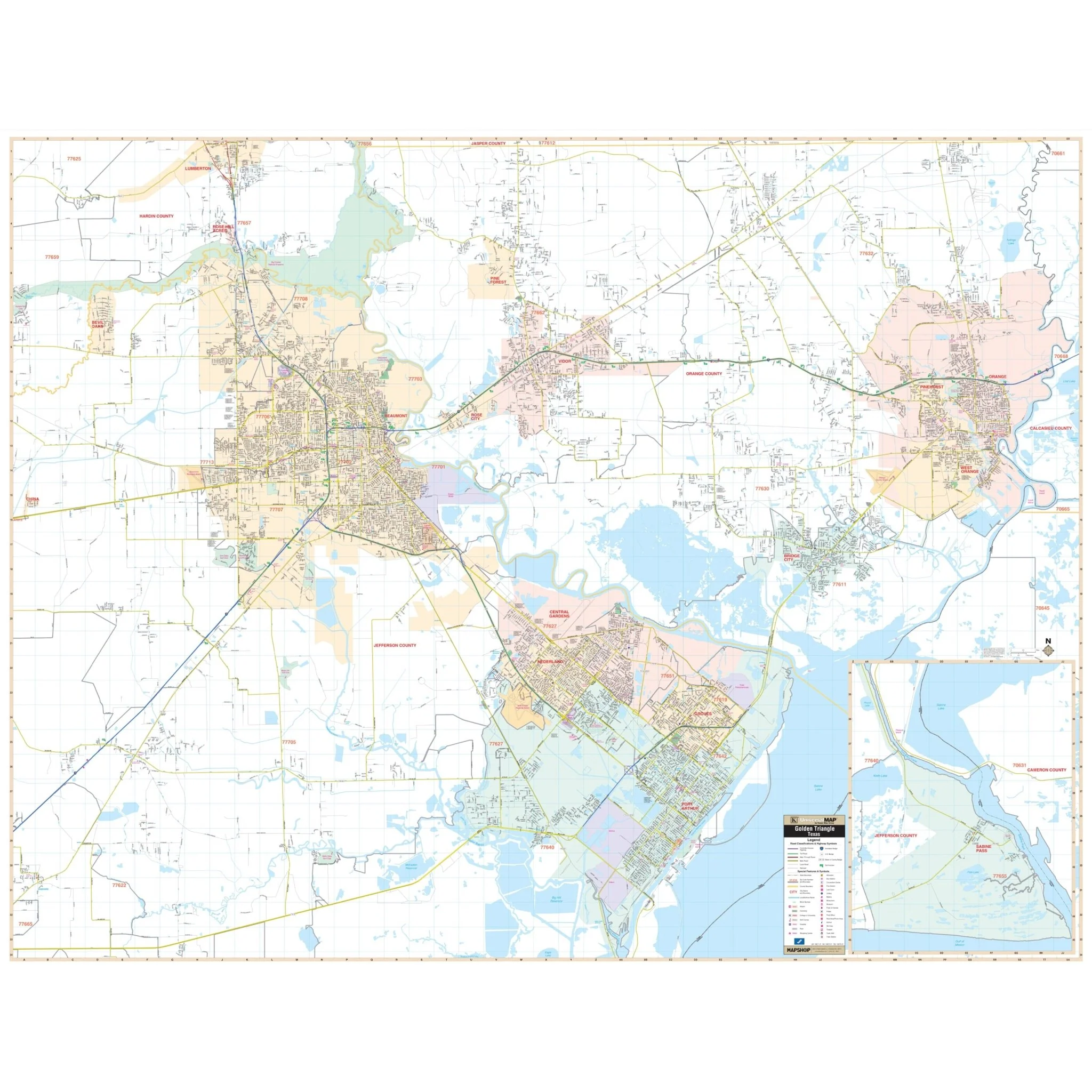
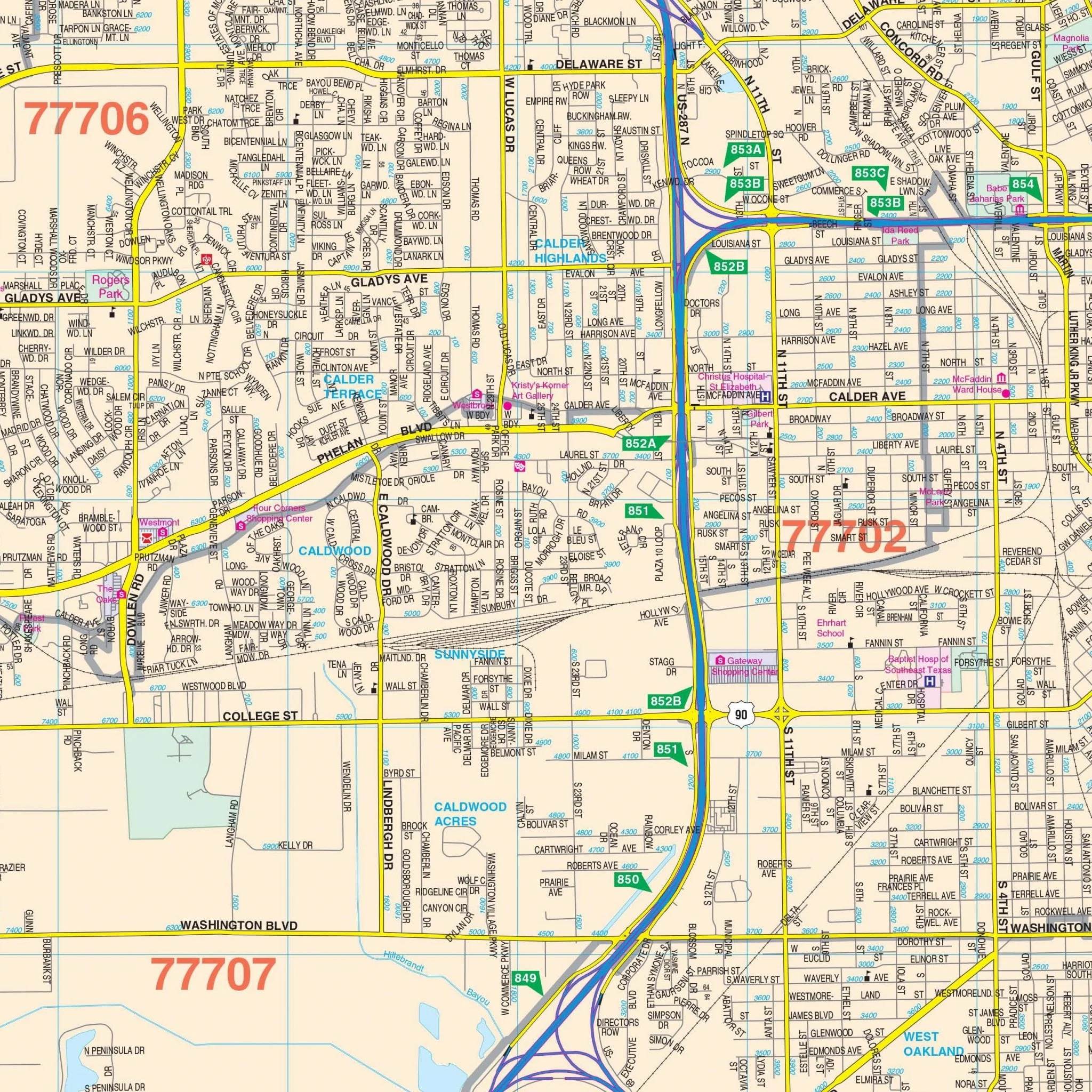
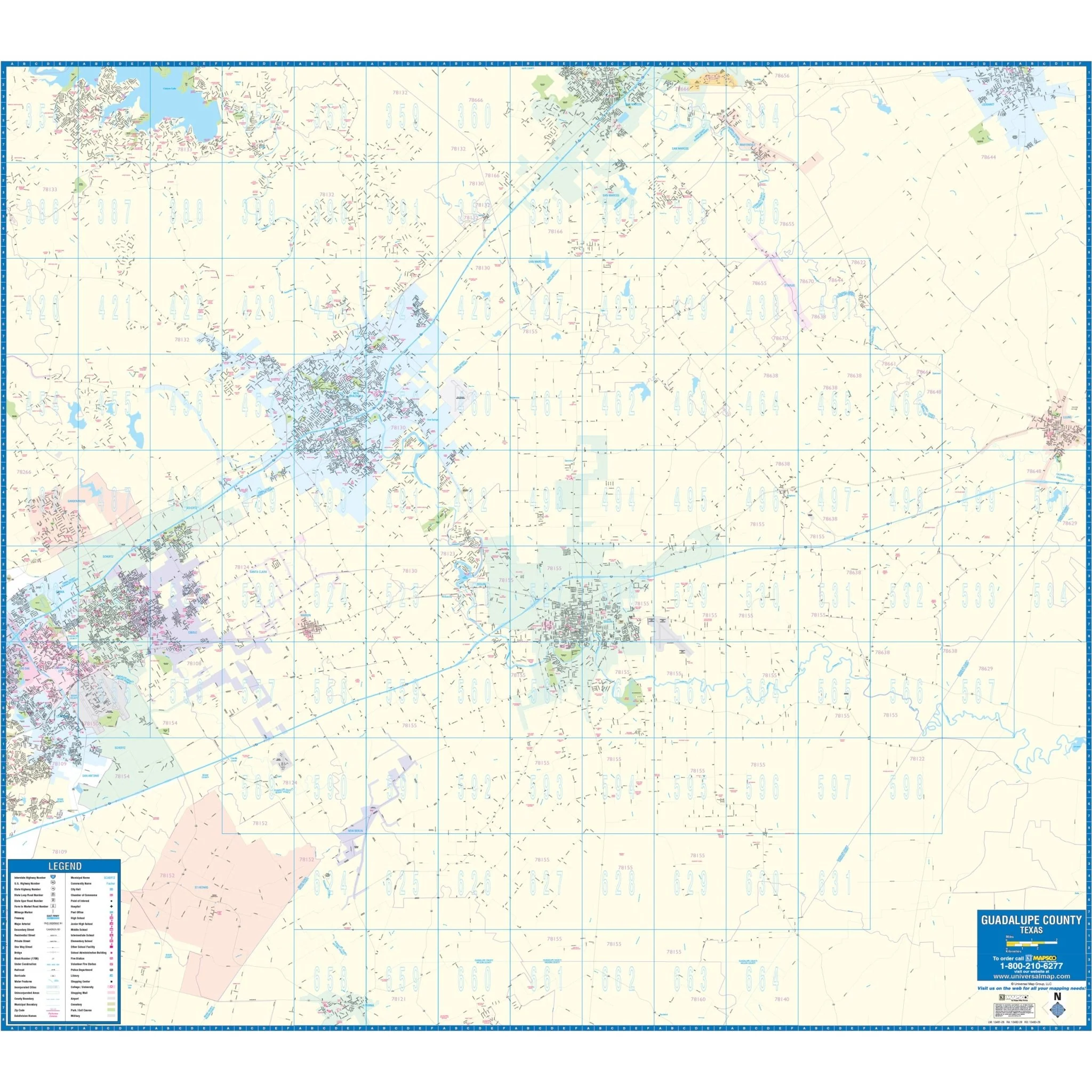
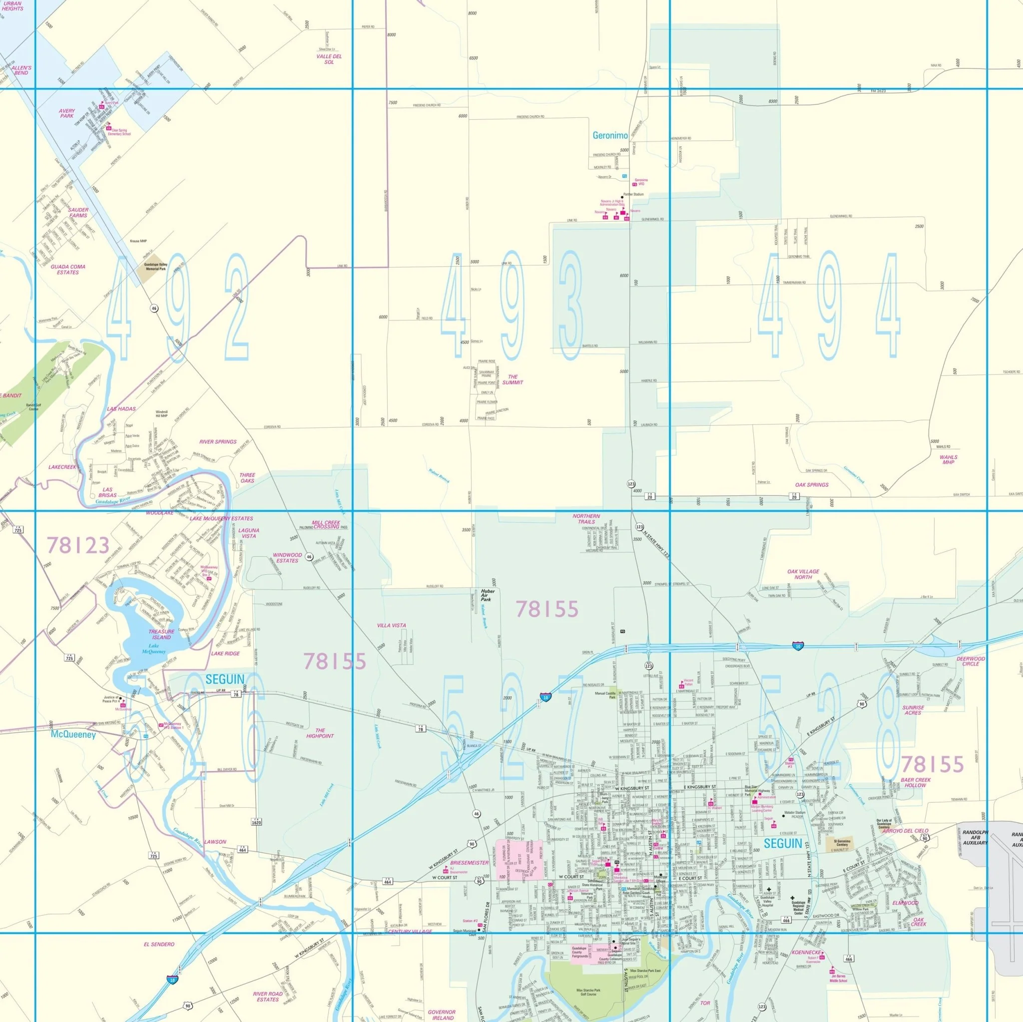
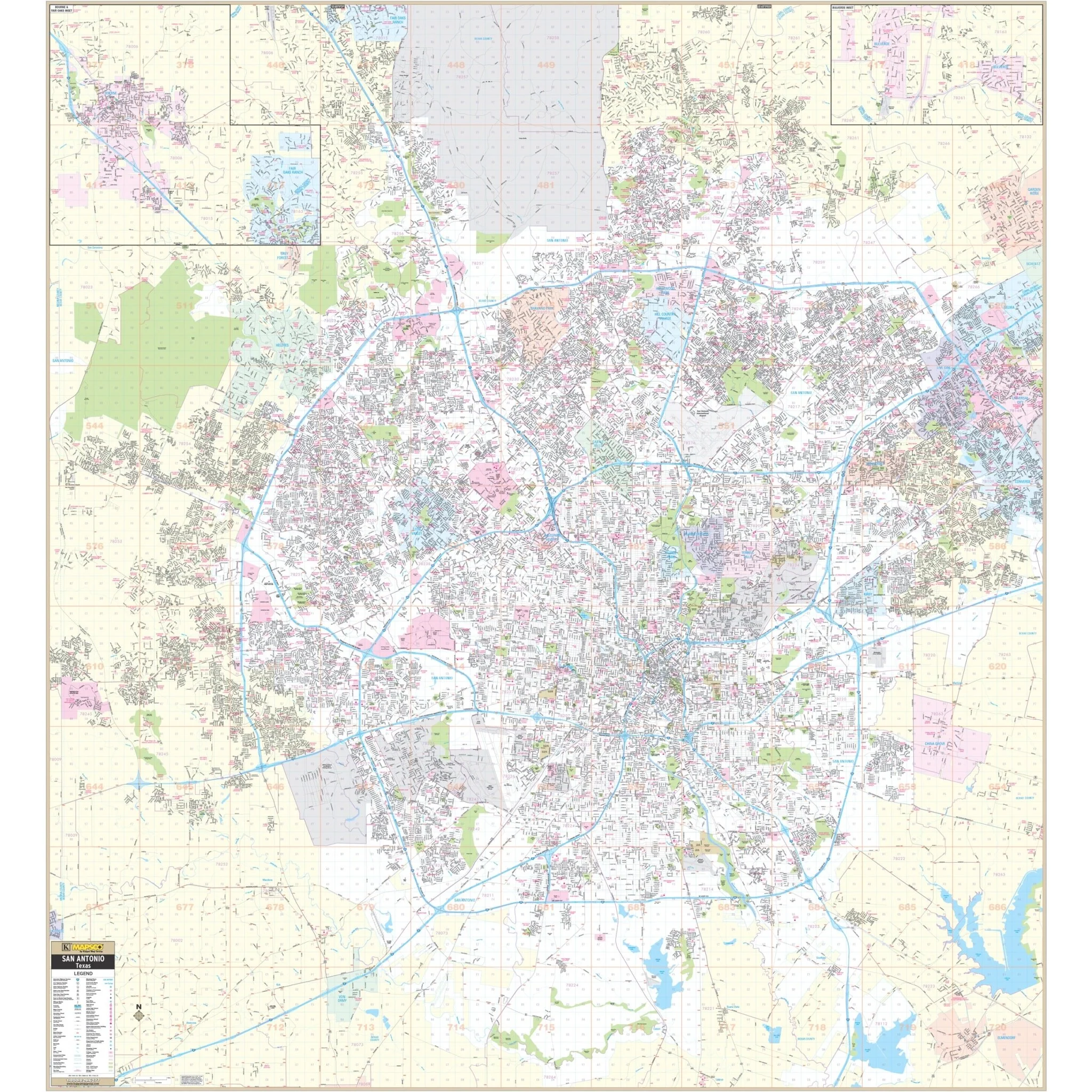
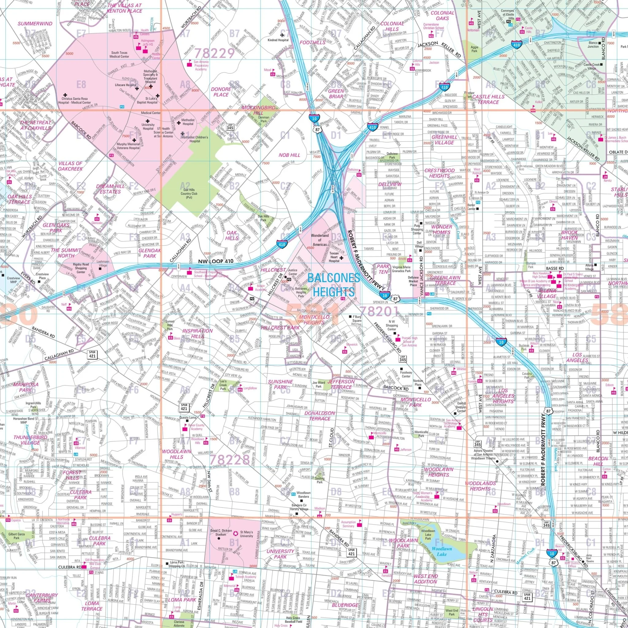
The San Antonio, Texas Wall Map provides complete street detail without specific measurements. The area of coverage for this map includes:
- Cities of Boerne, Bulverde, and Fair Oaks Ranch to the North
- City of Elmendorf to the South
- City of Schertz and most of Cibolo to the East
- Medina/Bexar County Line to the West
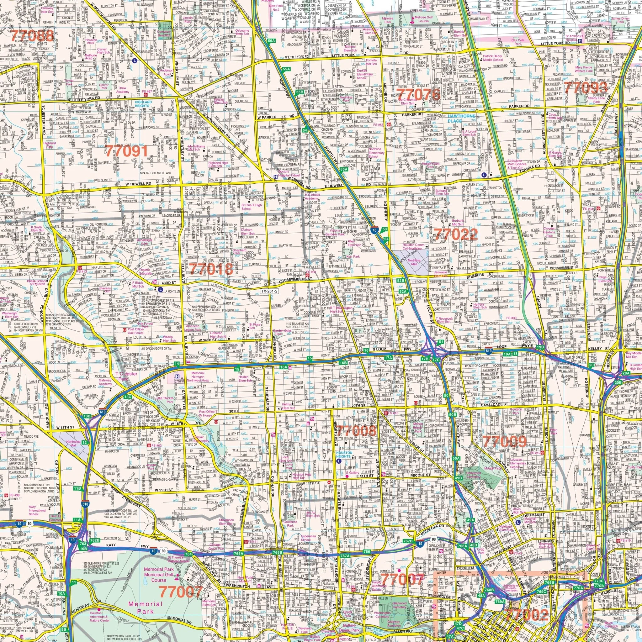
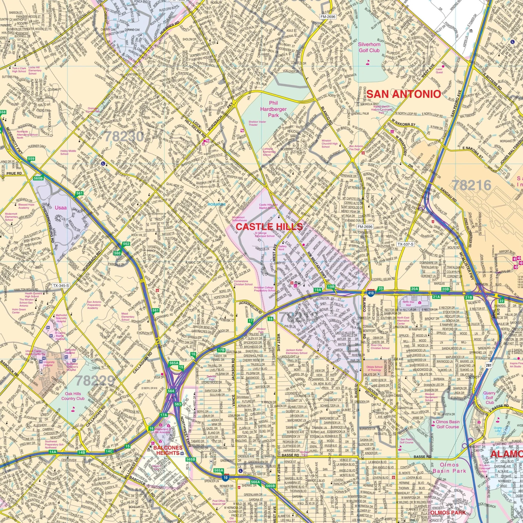
Details included on this map encompass airports, all streets and highways, government buildings, cemeteries, points of interest, fire and police stations, hospitals, water features, educational institutions, subdivision names, recreational parks, golf and country clubs, post offices, city limits and annexations, ZIP codes, and boundaries.
Size: 73.5" x 80"
Published: 2012
Original: $209.99
-70%$209.99
$63.00Product Information
Product Information
Shipping & Returns
Shipping & Returns
Description
The San Antonio, Texas Wall Map provides complete street detail without specific measurements. The area of coverage for this map includes:
- Cities of Boerne, Bulverde, and Fair Oaks Ranch to the North
- City of Elmendorf to the South
- City of Schertz and most of Cibolo to the East
- Medina/Bexar County Line to the West
Details included on this map encompass airports, all streets and highways, government buildings, cemeteries, points of interest, fire and police stations, hospitals, water features, educational institutions, subdivision names, recreational parks, golf and country clubs, post offices, city limits and annexations, ZIP codes, and boundaries.
Size: 73.5" x 80"
Published: 2012