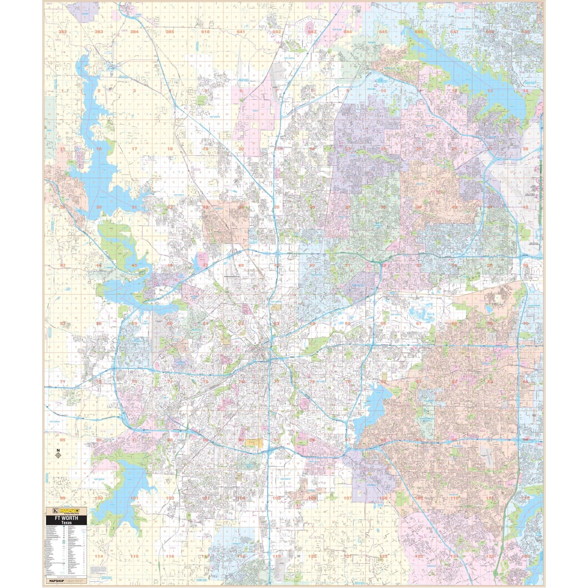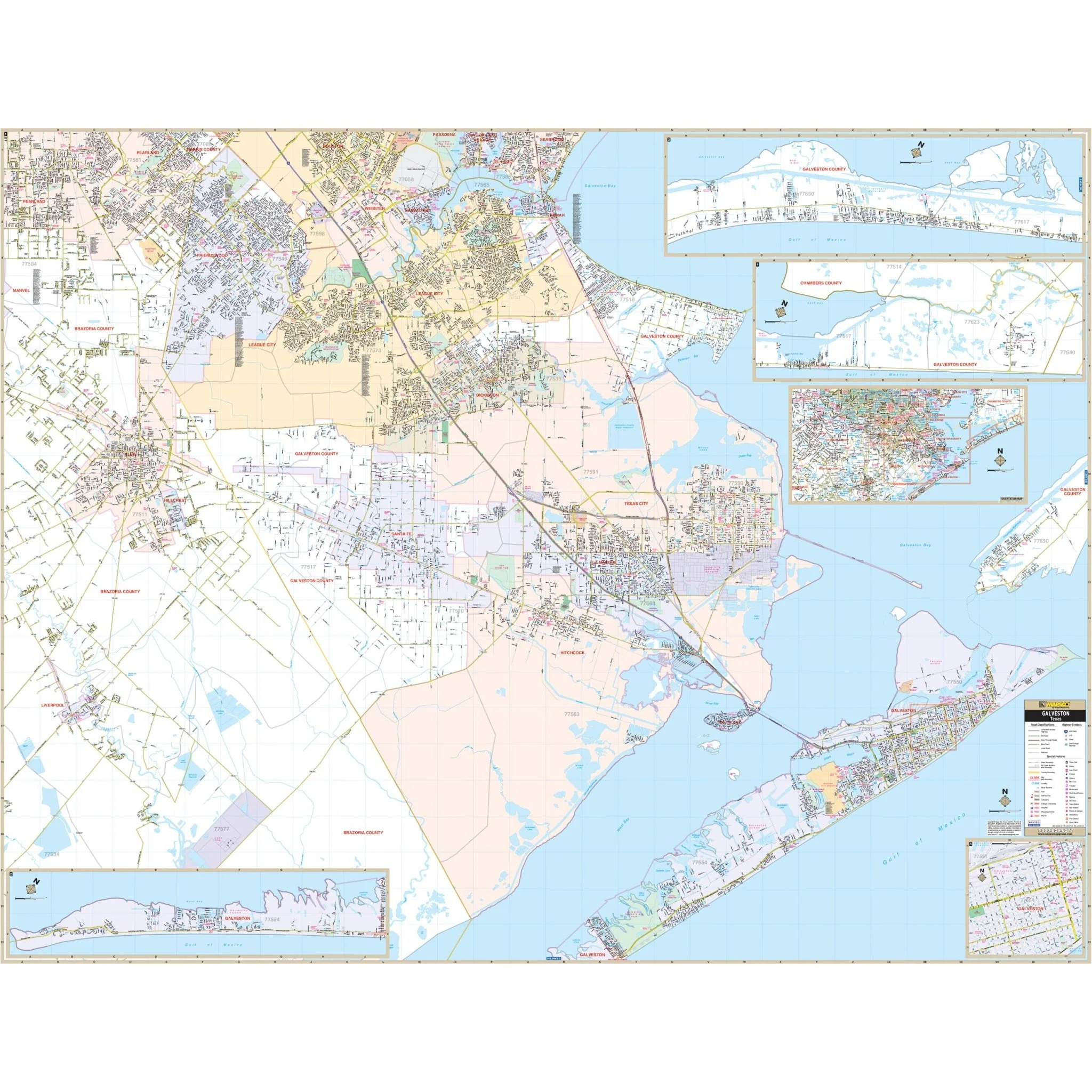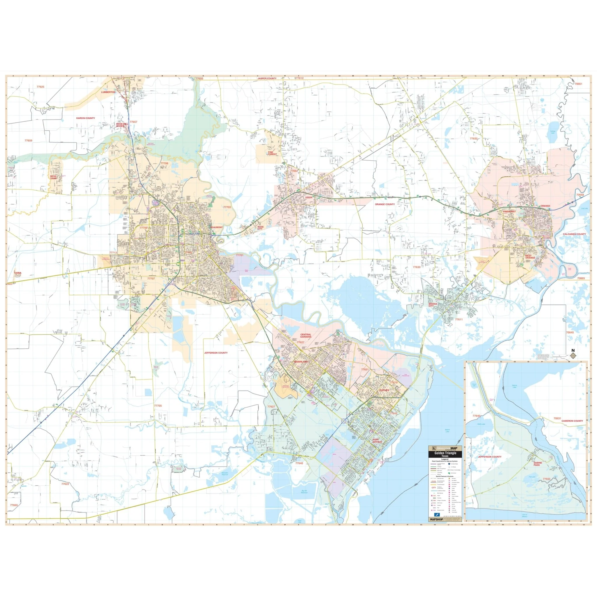


Houston, TX Wall Map
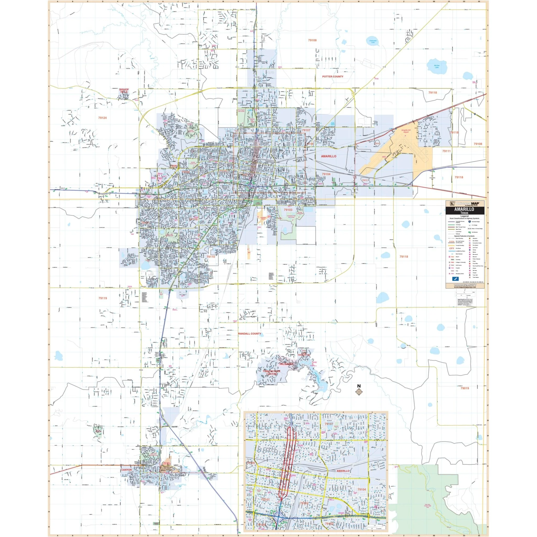
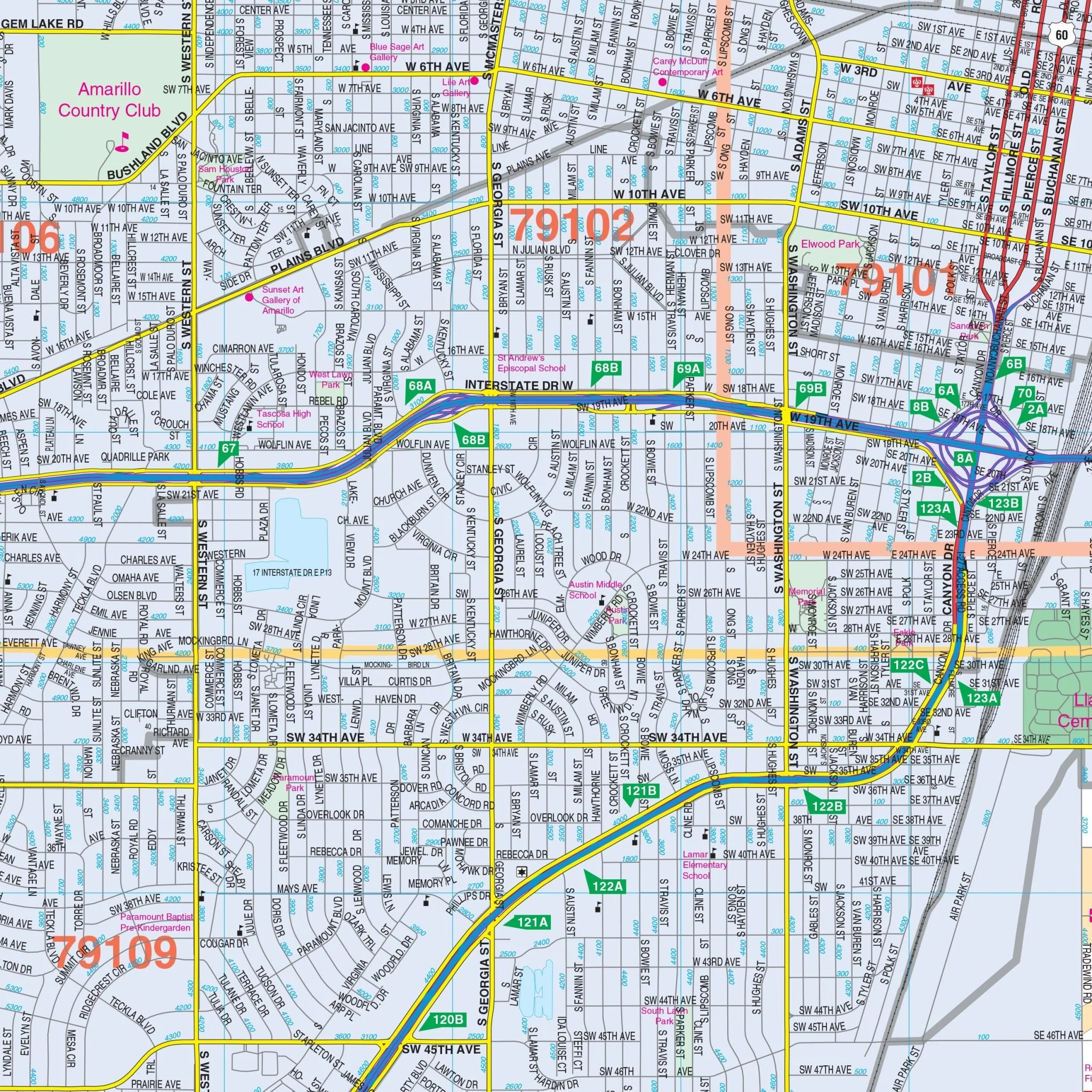
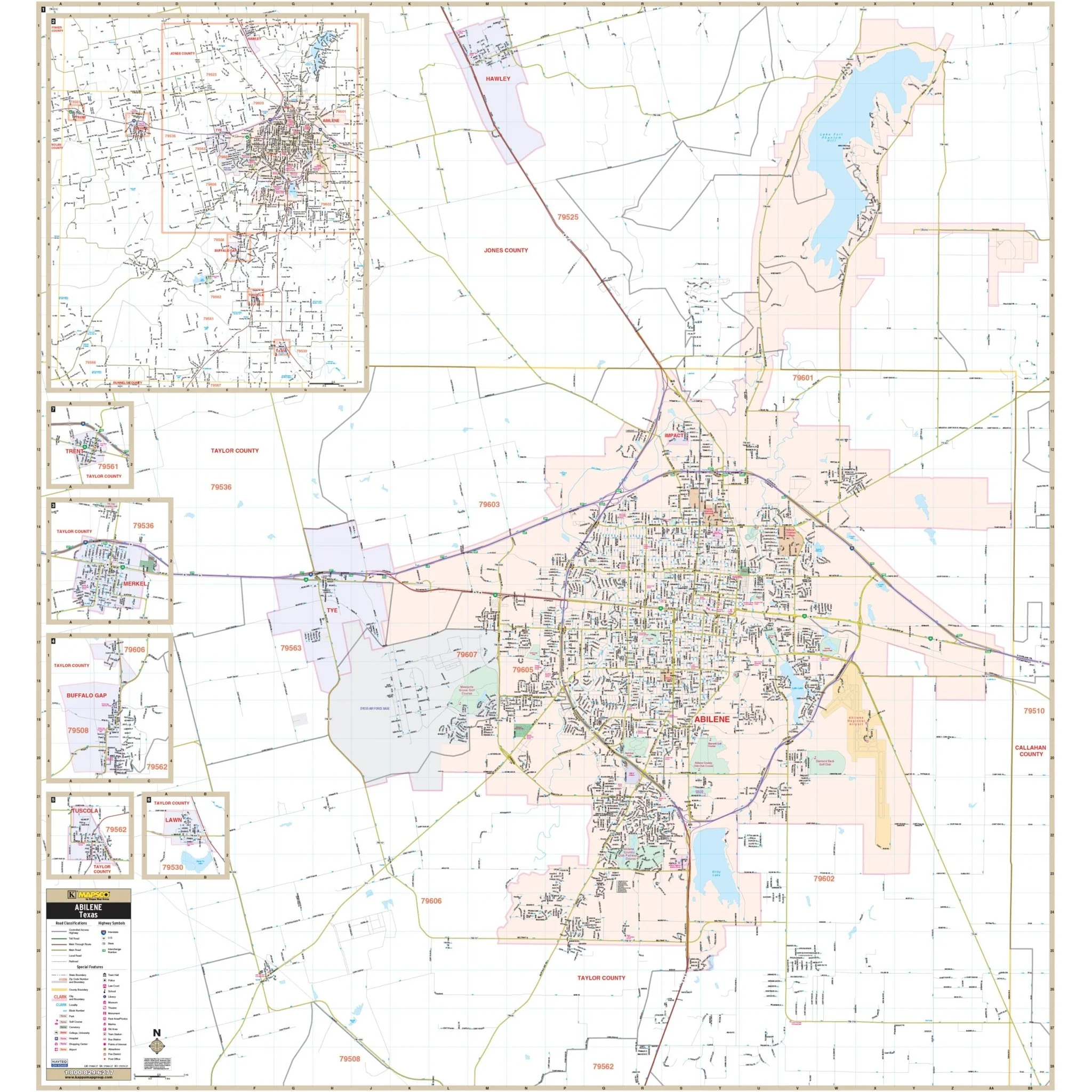
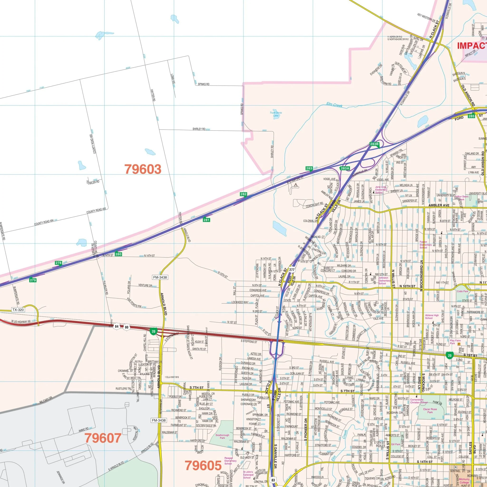
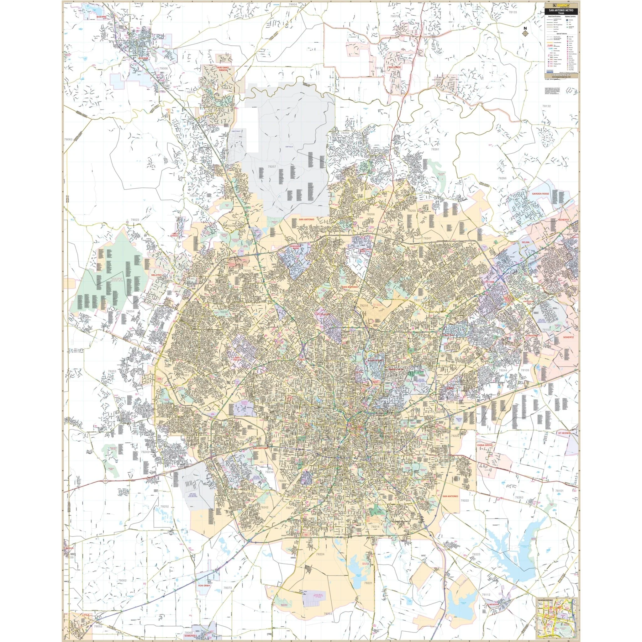
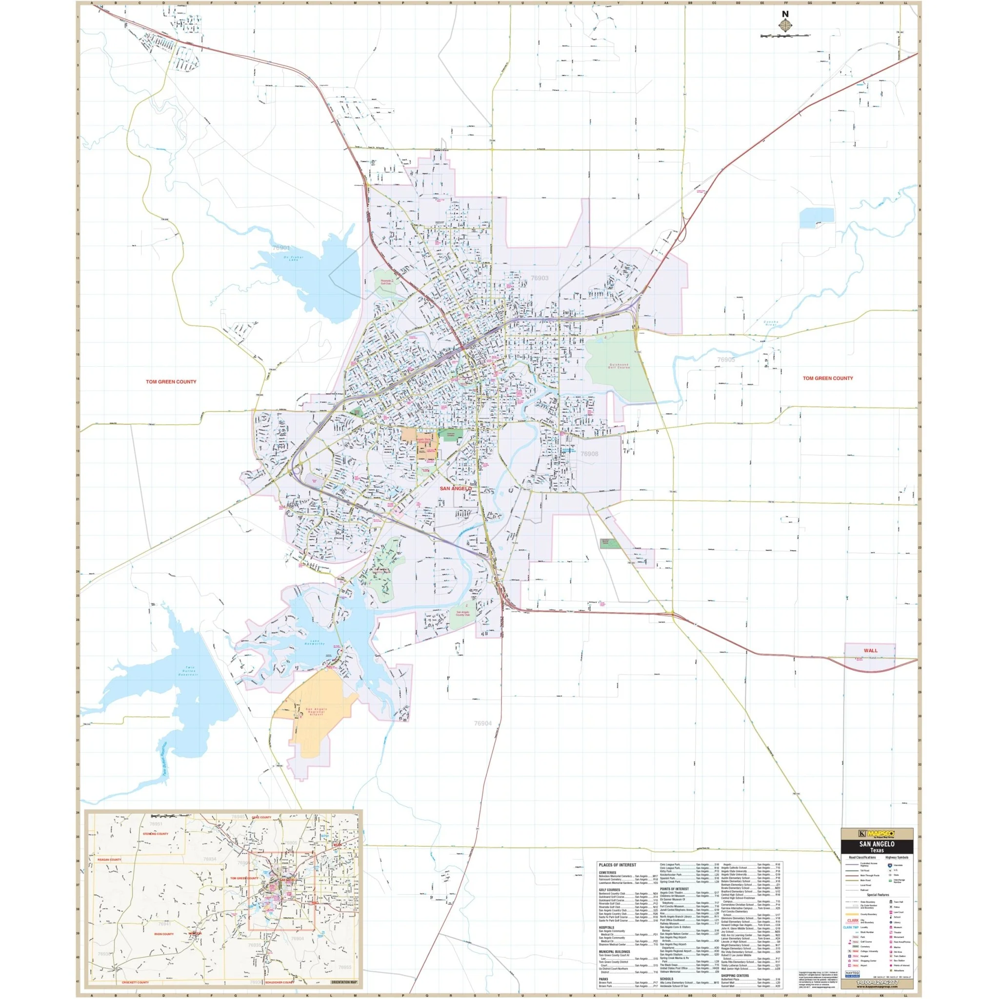
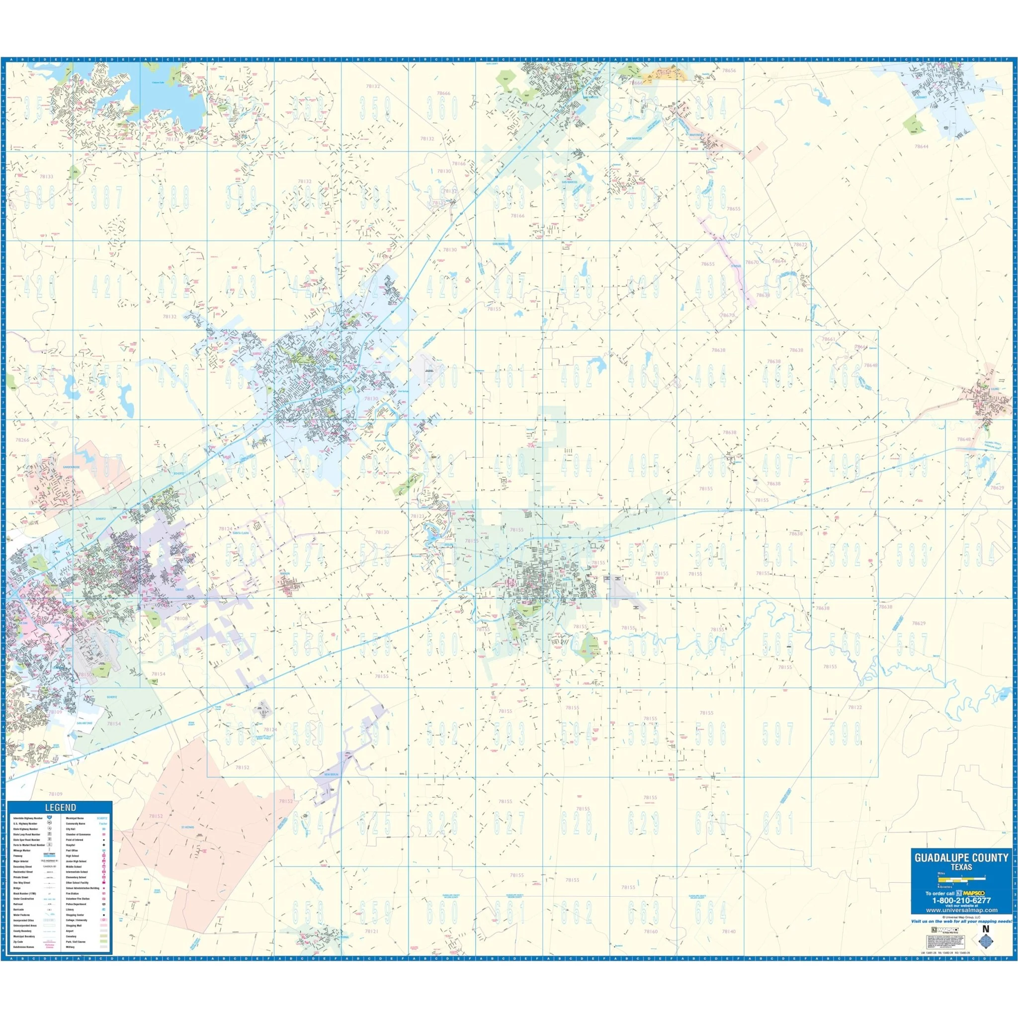
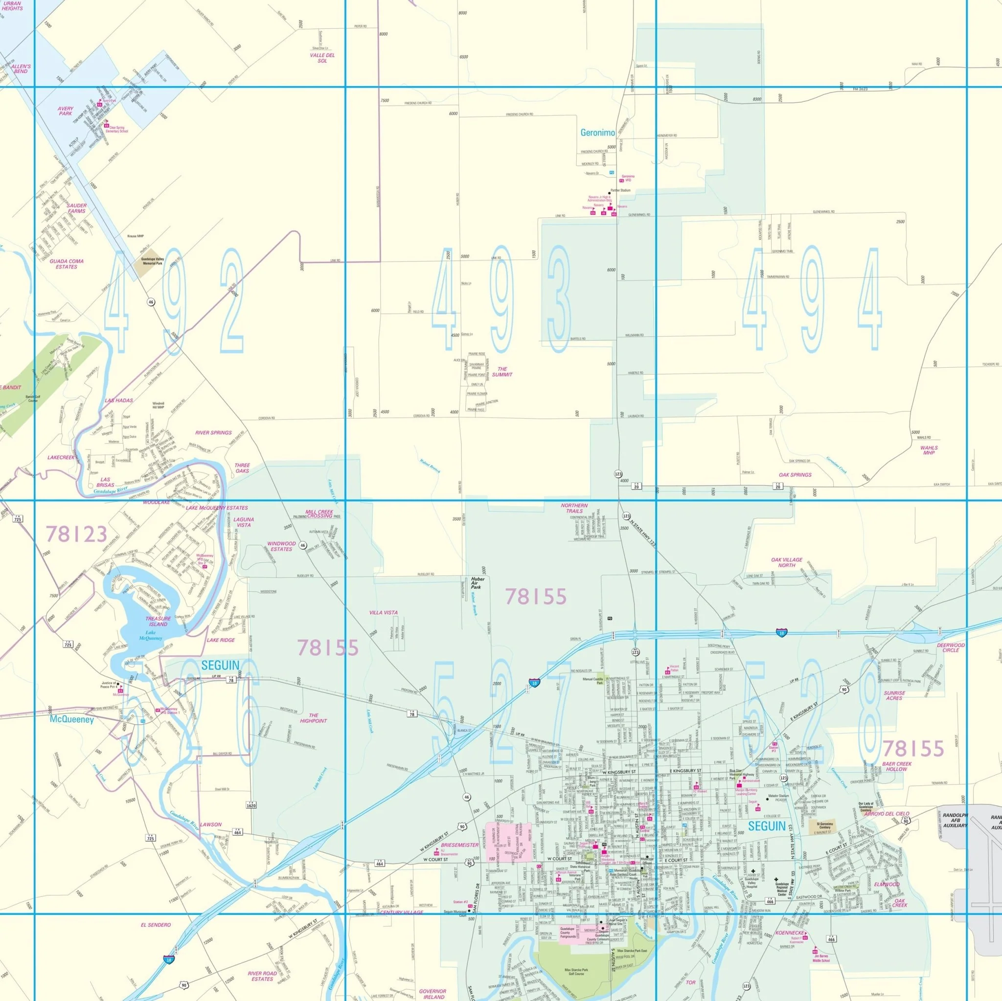
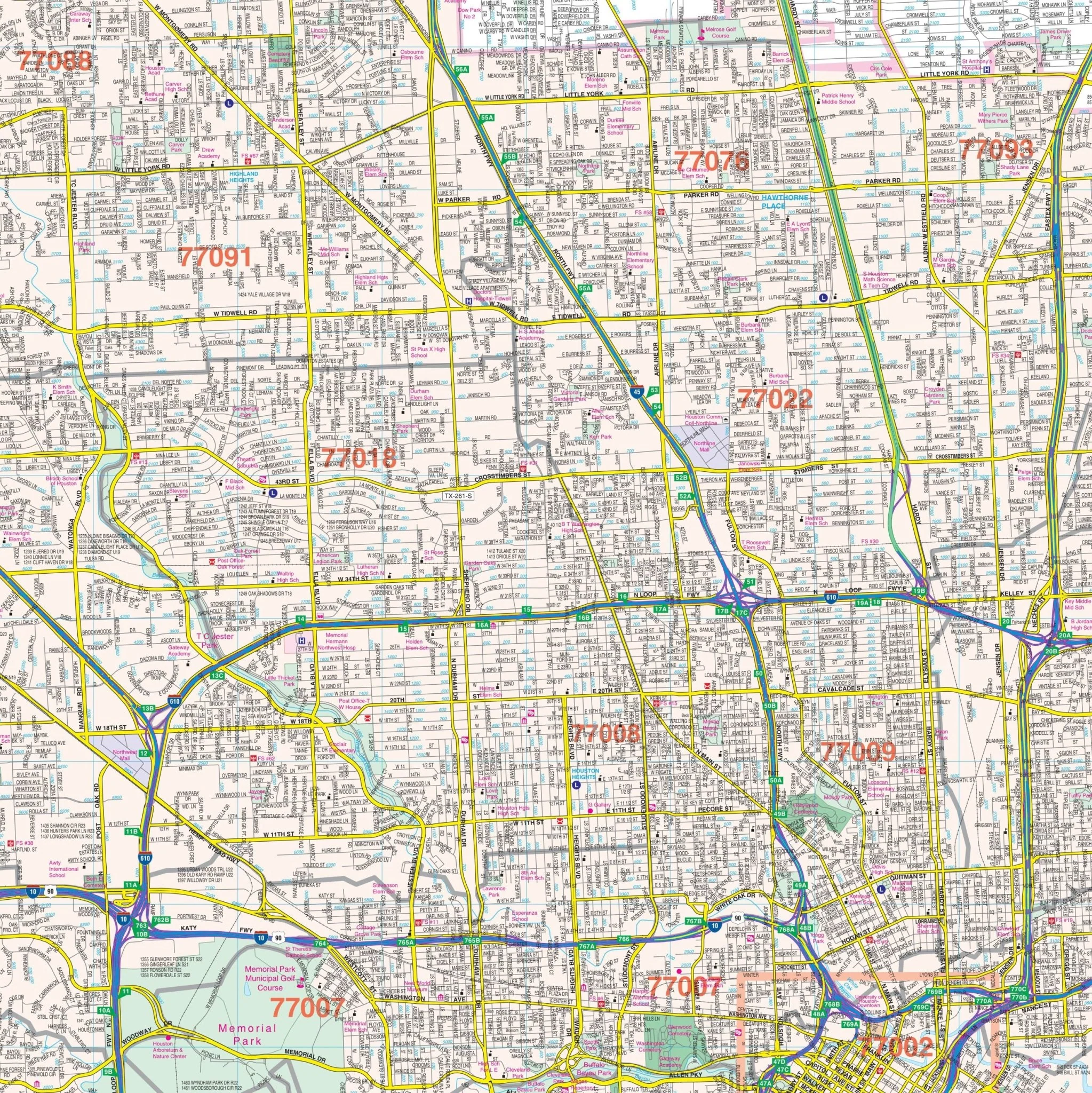
The Houston, TX Wall Map, with adjacent areas, offers complete street detail at a scale of 1" = 3,167 feet. The area of coverage includes the following boundaries:
- North: Montgomery/Harris County line, including the city of Tomball
- South: To all of Pearland in Brazoria County, and Sugar Land in Fort Bend County
- East: Includes all of Deerpark and to the Fred Hartman Bridge
- West: To the Grand Parkway
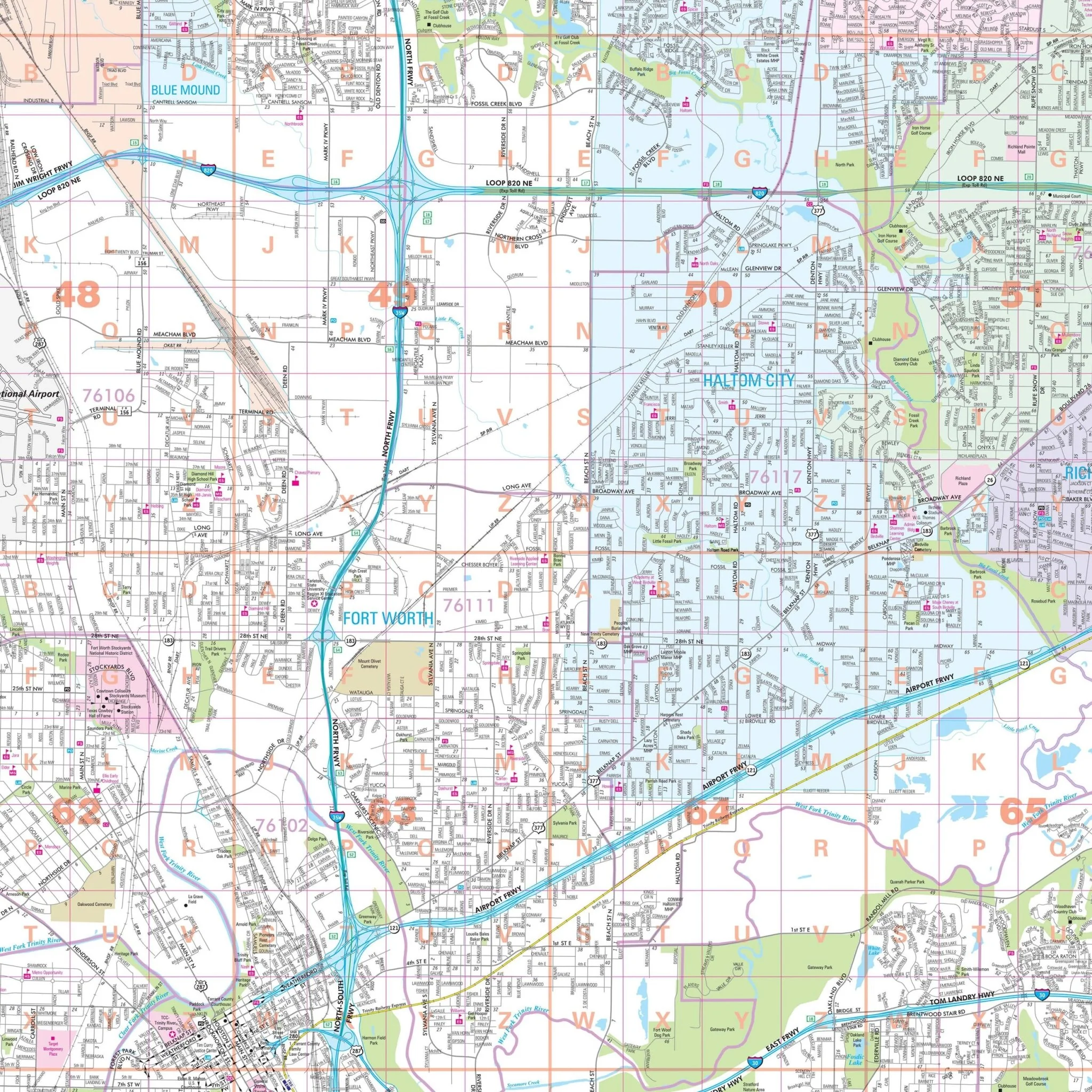
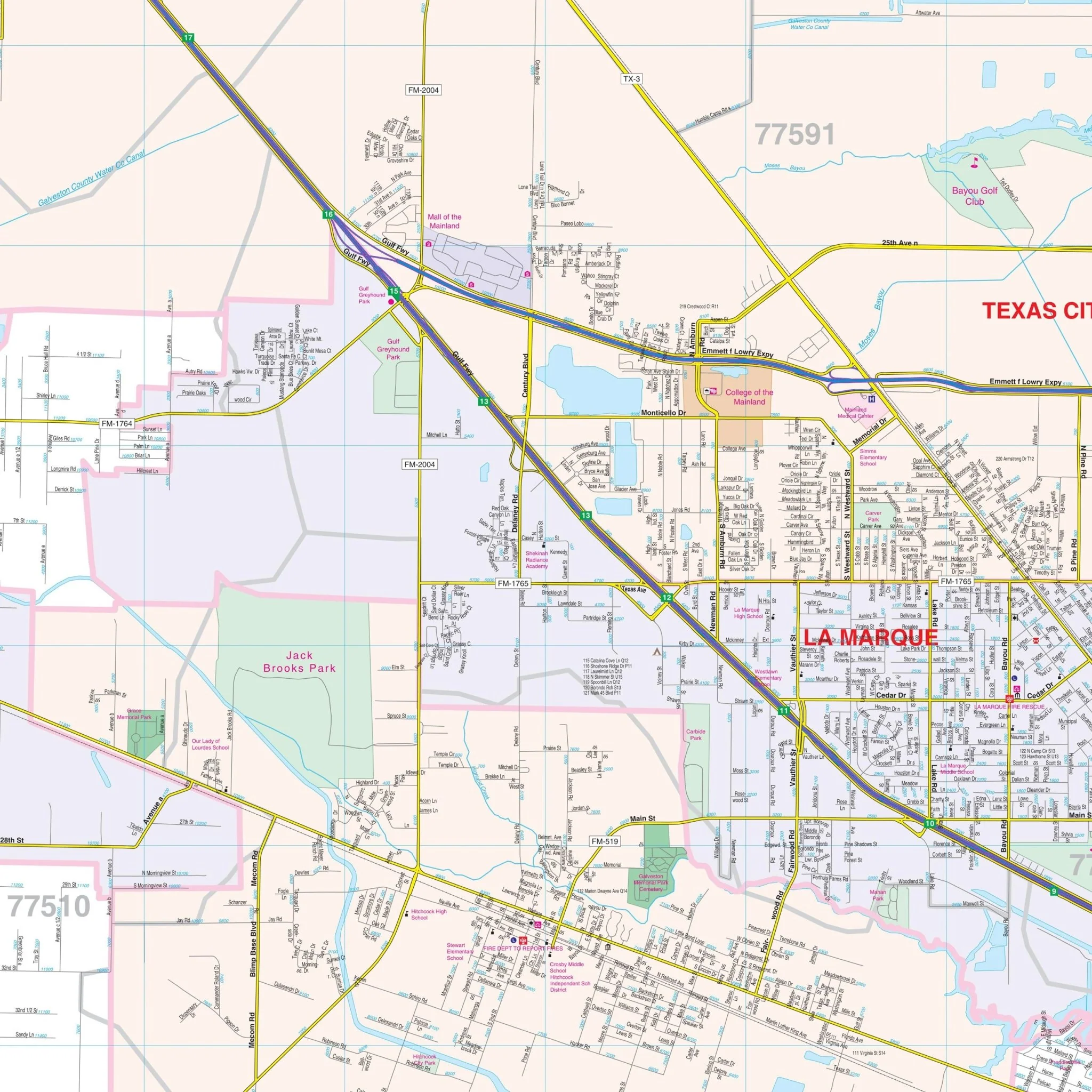
Inset maps of the City of Baytown and Downtown Houston with street directional symbols are also included.
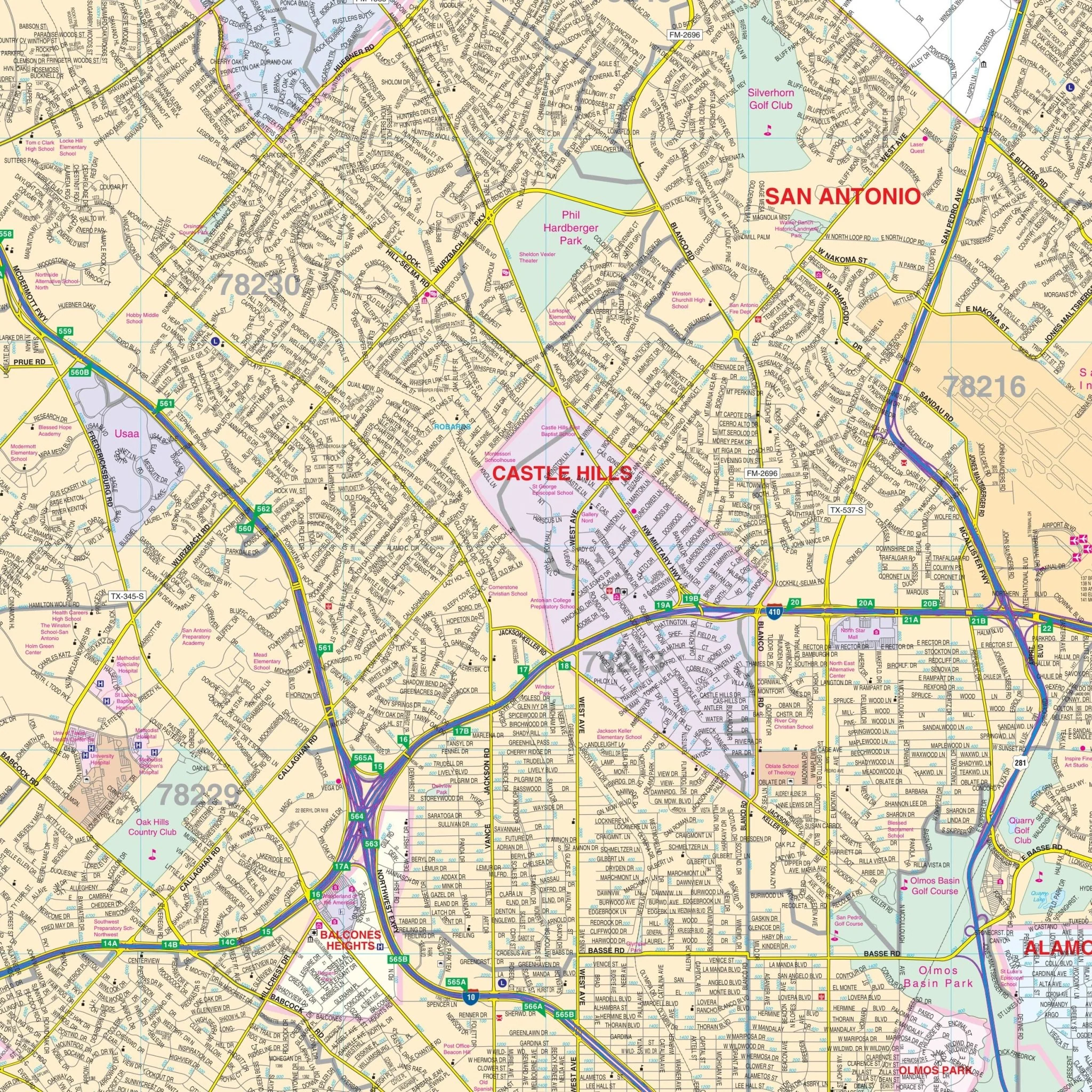
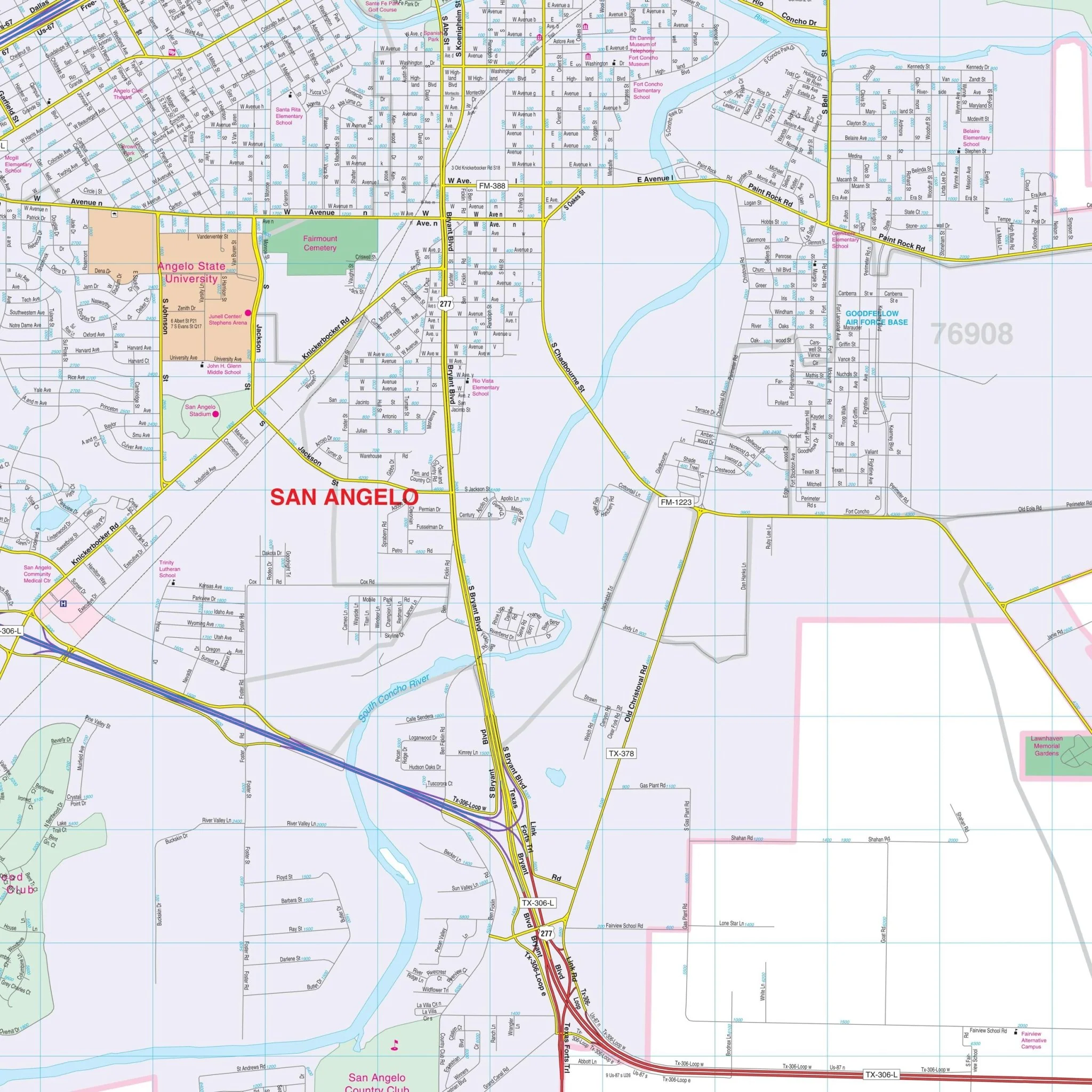
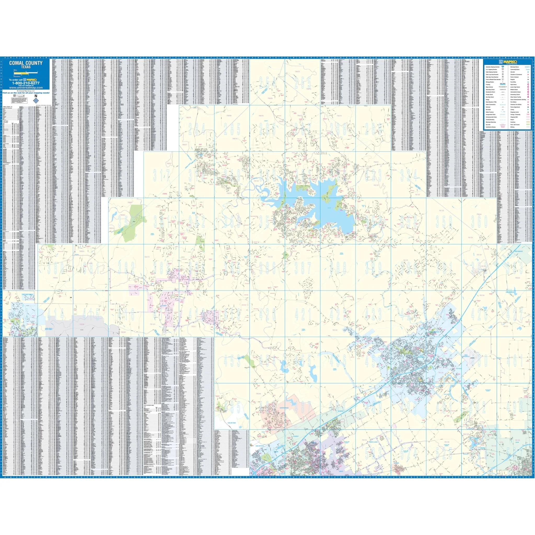
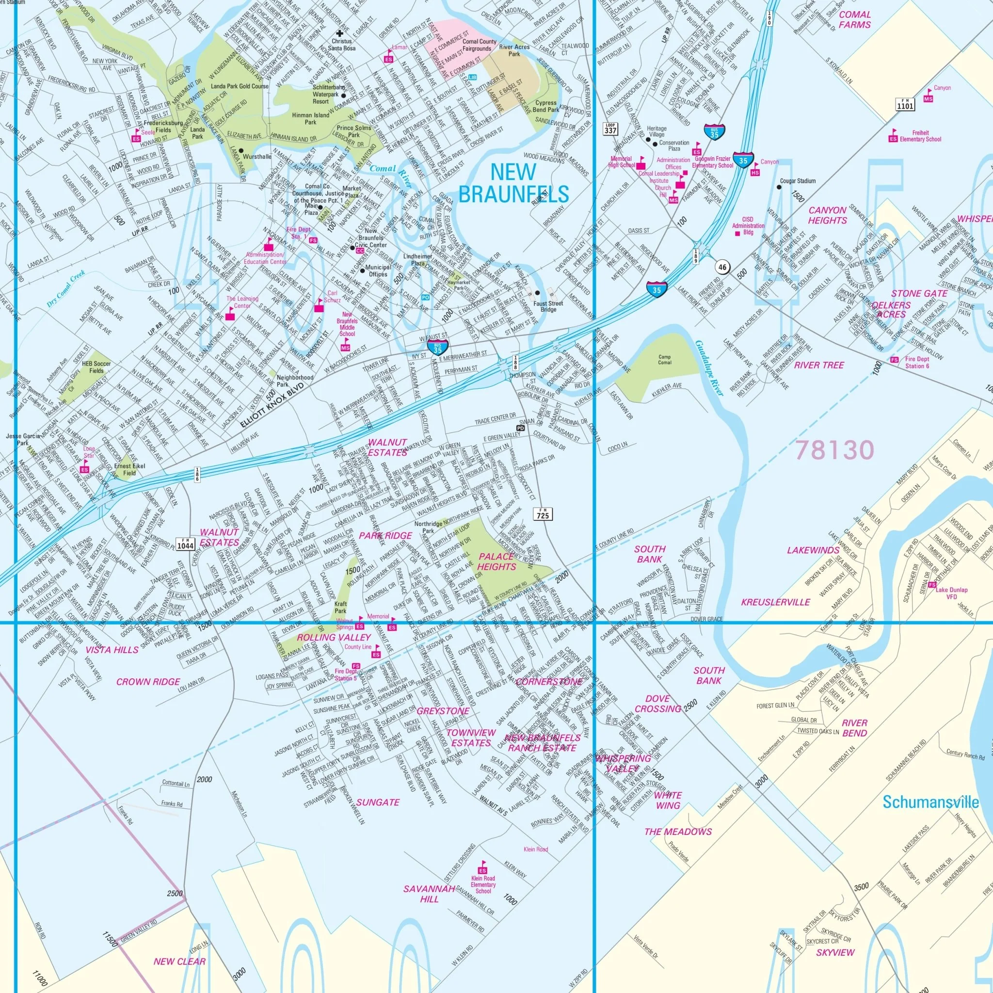
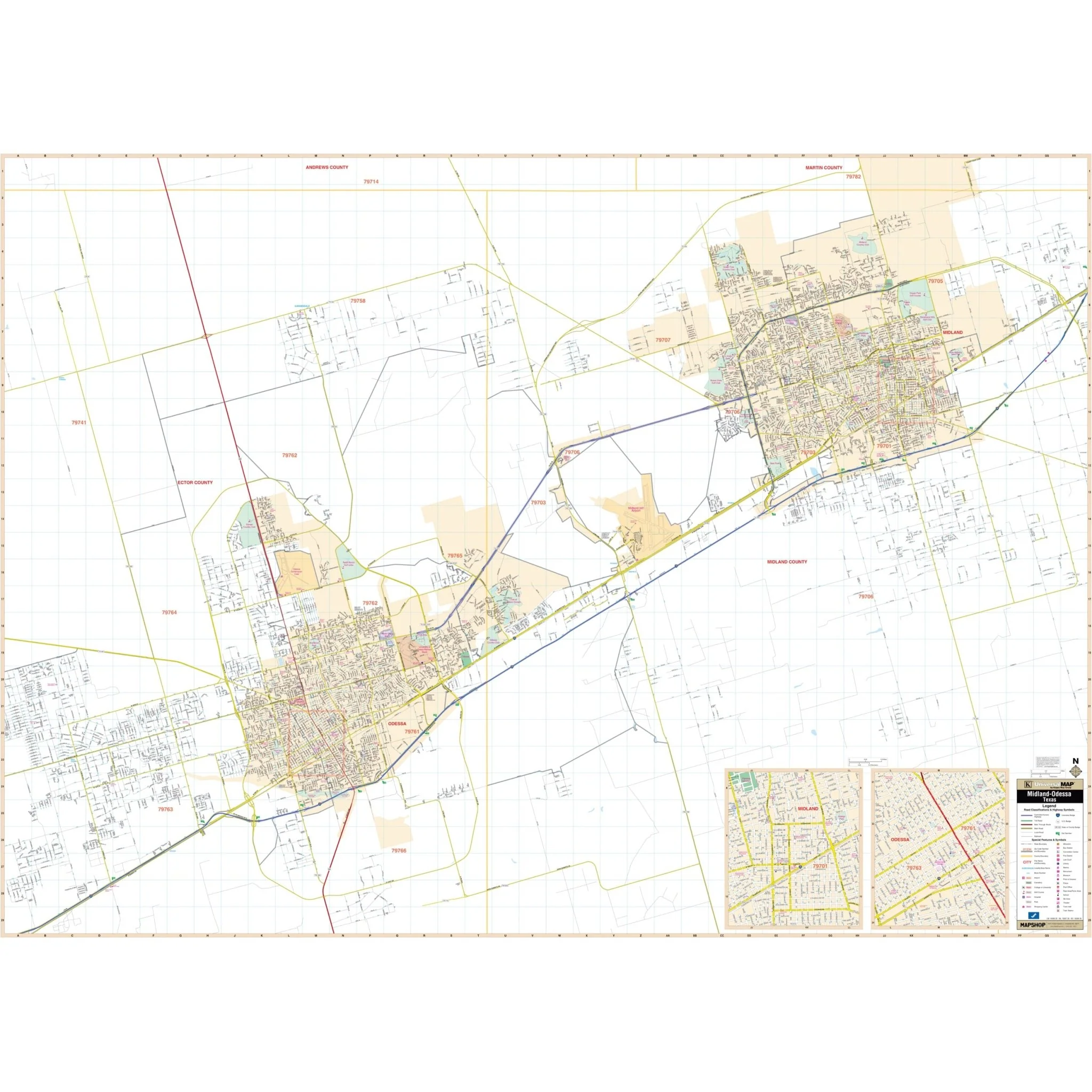
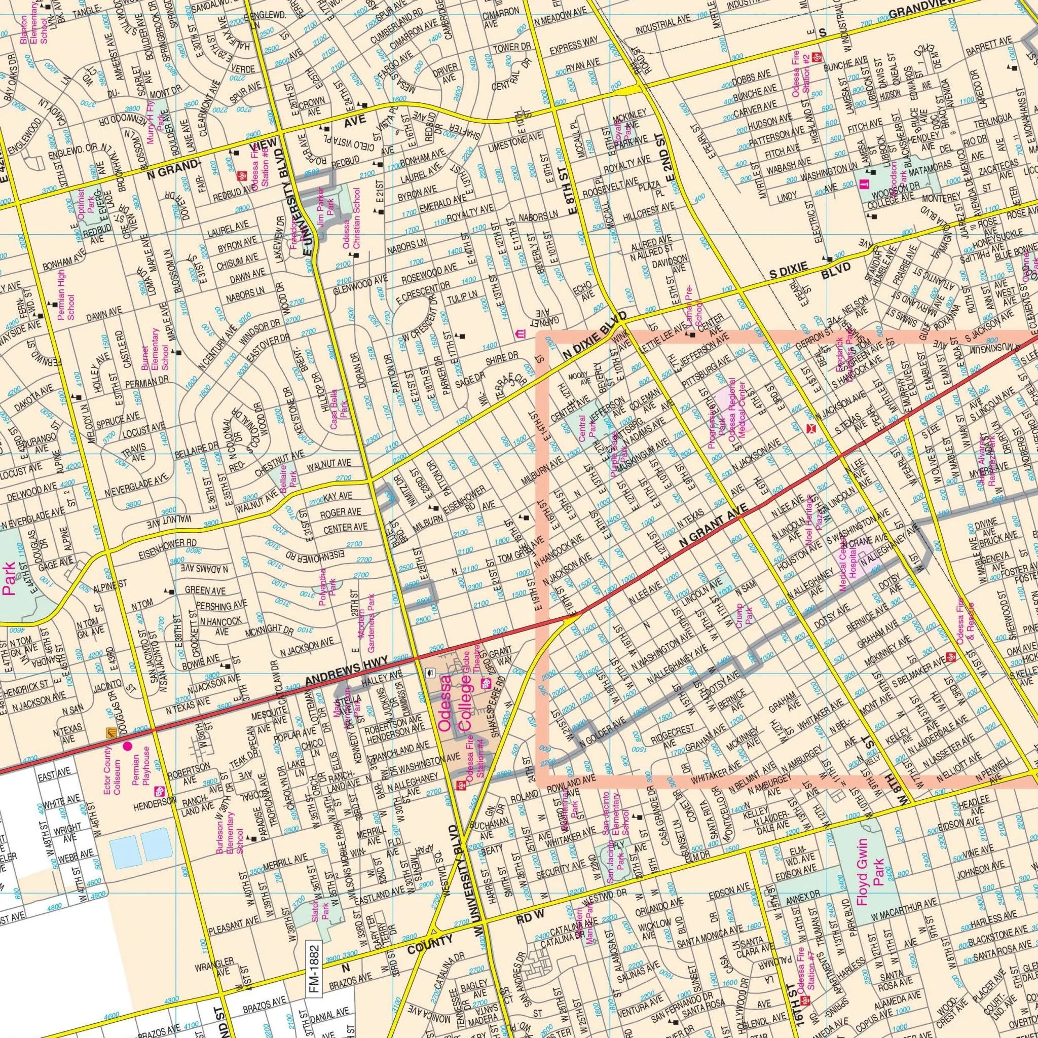
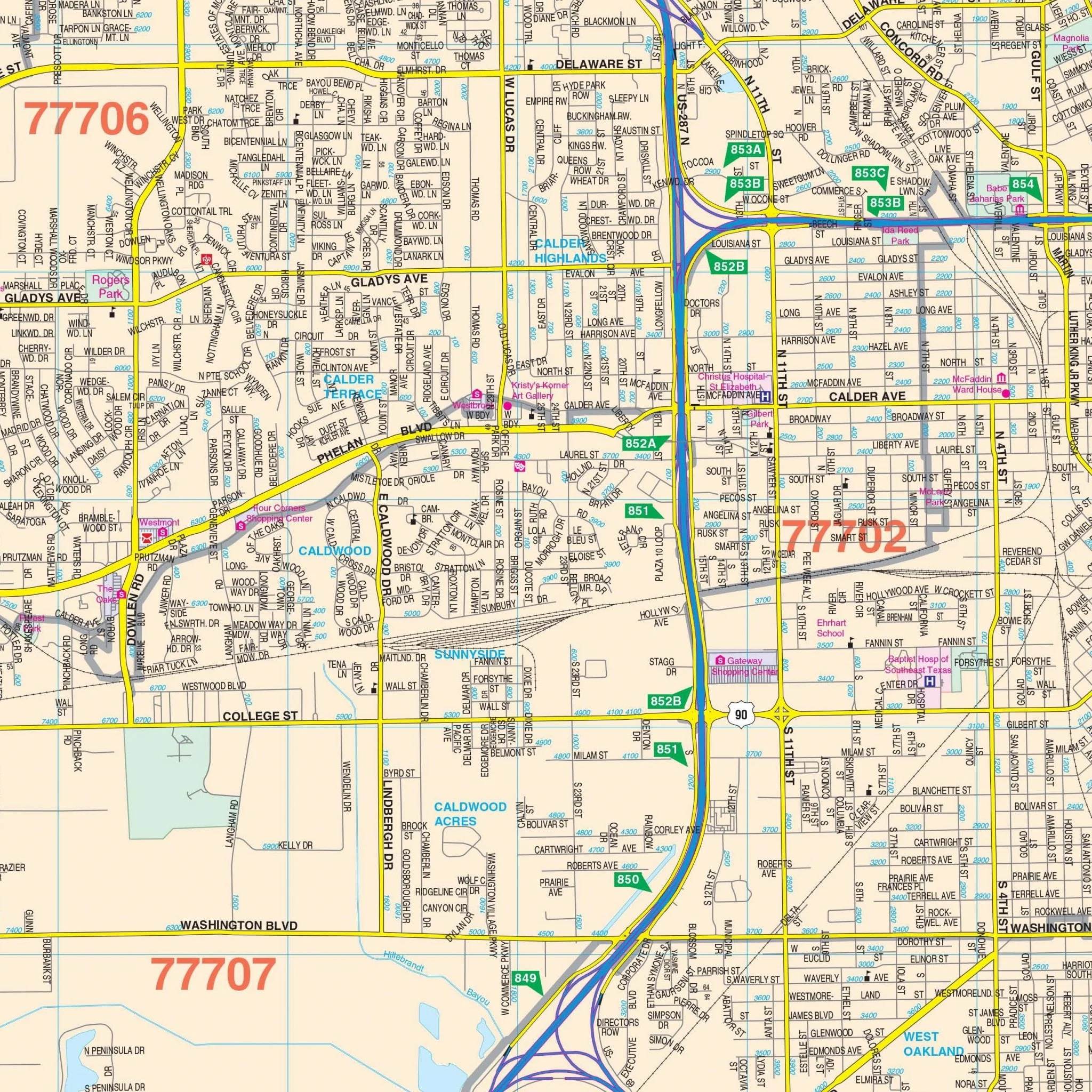
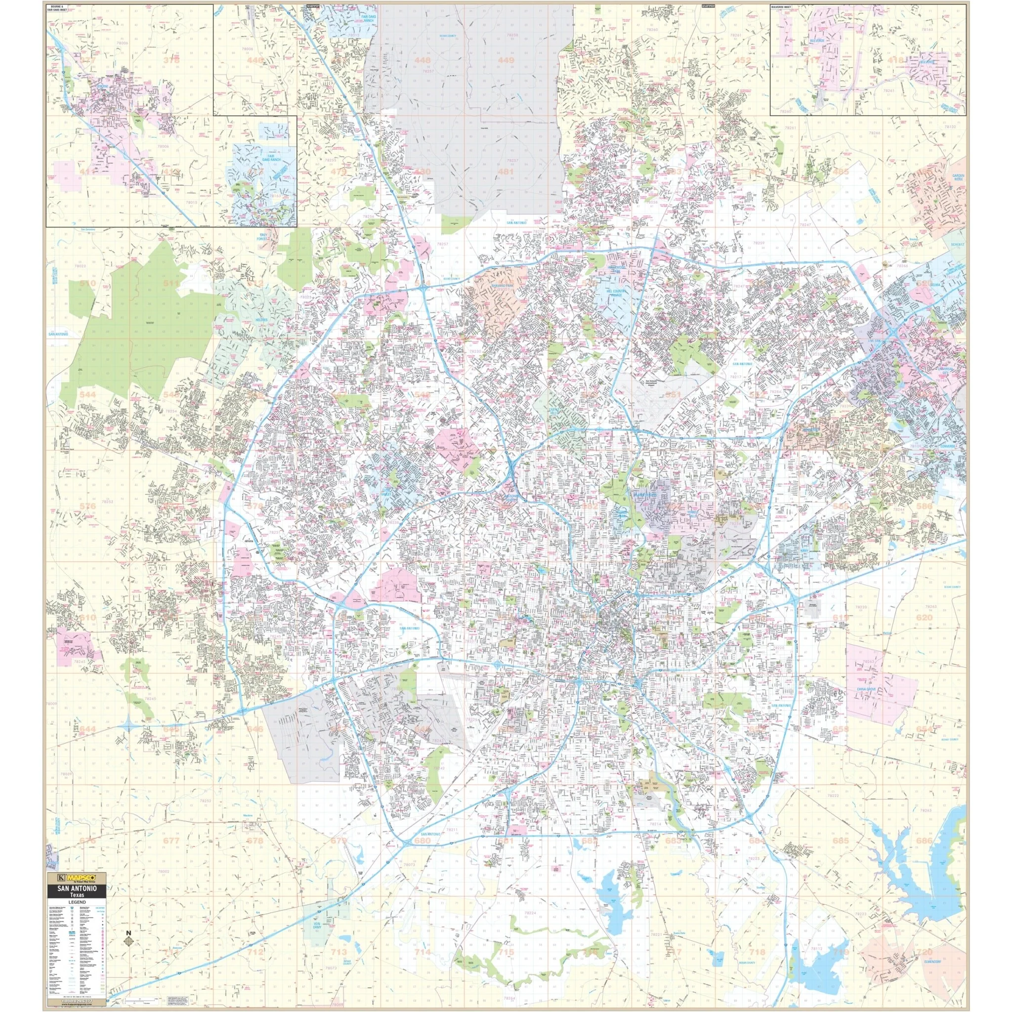
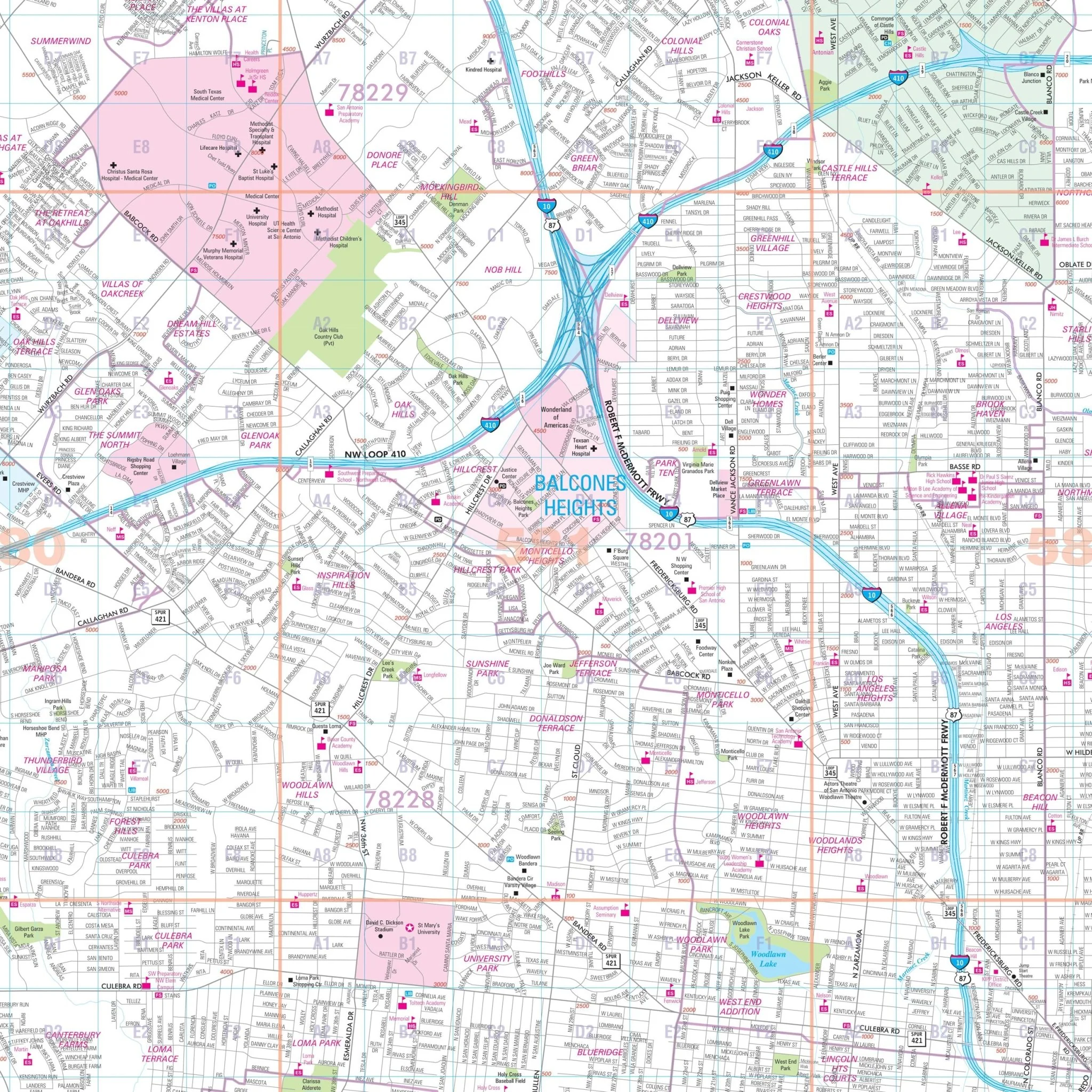
Details include all streets, airports, government buildings, post offices, cemeteries, fire and police stations, hospitals, shopping centers, educational institutions, railroads, water features, golf and country clubs, mileage circles, recreational parks, ZIP codes and boundaries, and block numbers.
Size: 75.5" x 69"
Published: 2014
Original: $239.99
-70%$239.99
$72.00Product Information
Product Information
Shipping & Returns
Shipping & Returns
Description
The Houston, TX Wall Map, with adjacent areas, offers complete street detail at a scale of 1" = 3,167 feet. The area of coverage includes the following boundaries:
- North: Montgomery/Harris County line, including the city of Tomball
- South: To all of Pearland in Brazoria County, and Sugar Land in Fort Bend County
- East: Includes all of Deerpark and to the Fred Hartman Bridge
- West: To the Grand Parkway
Inset maps of the City of Baytown and Downtown Houston with street directional symbols are also included.
Details include all streets, airports, government buildings, post offices, cemeteries, fire and police stations, hospitals, shopping centers, educational institutions, railroads, water features, golf and country clubs, mileage circles, recreational parks, ZIP codes and boundaries, and block numbers.
Size: 75.5" x 69"
Published: 2014