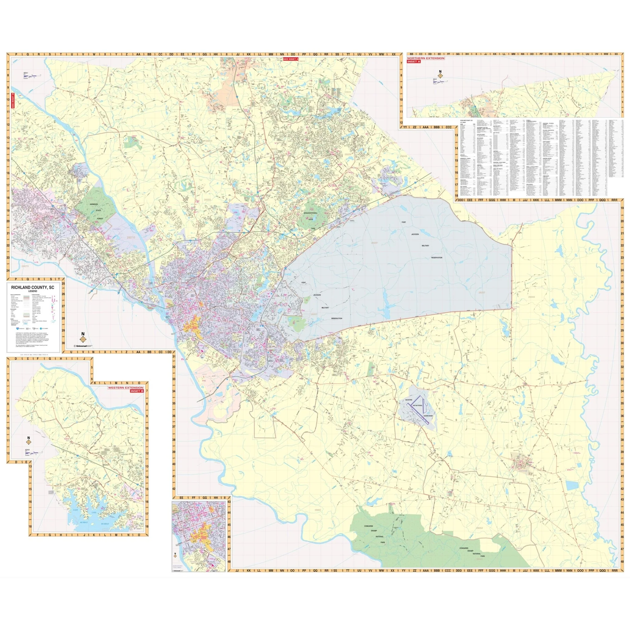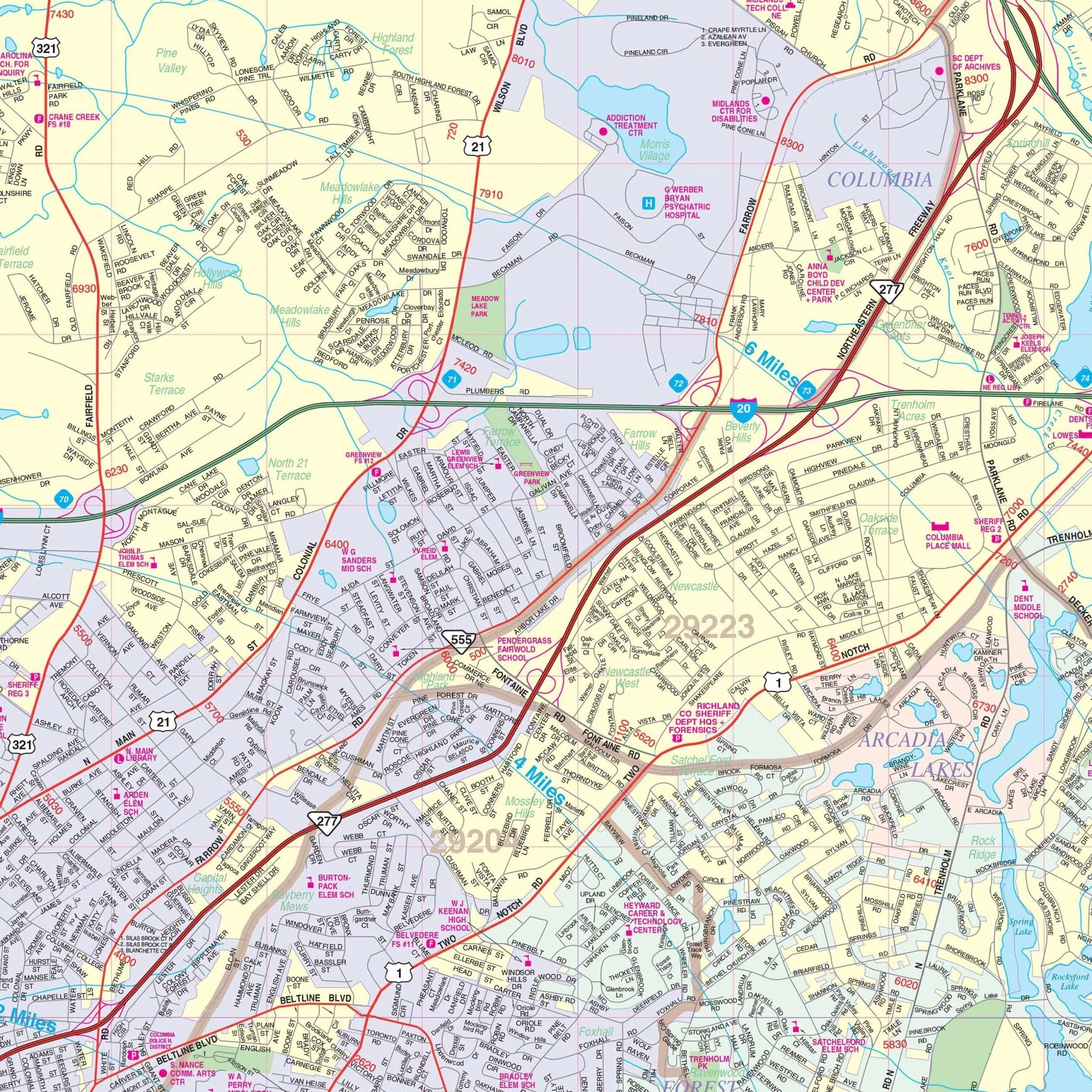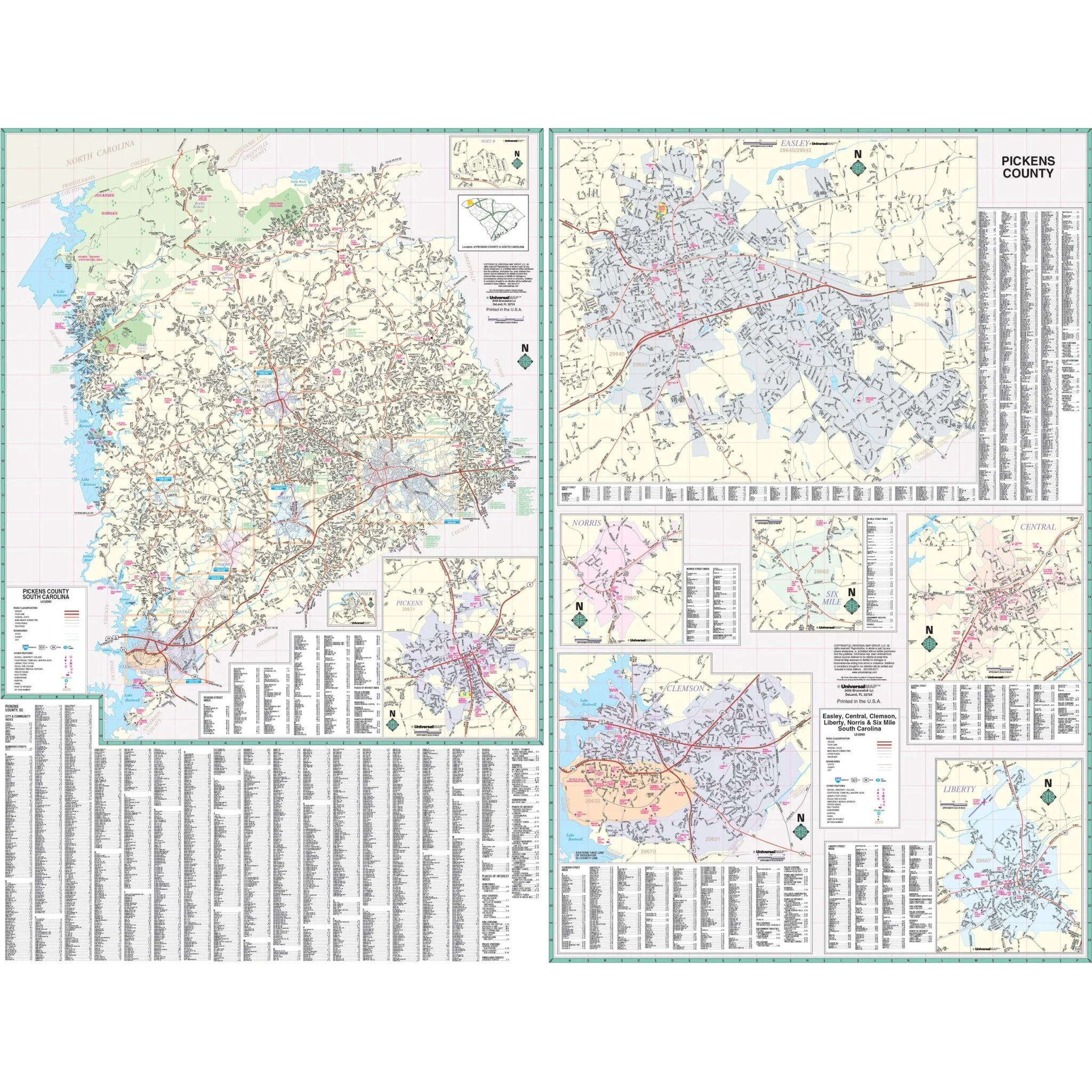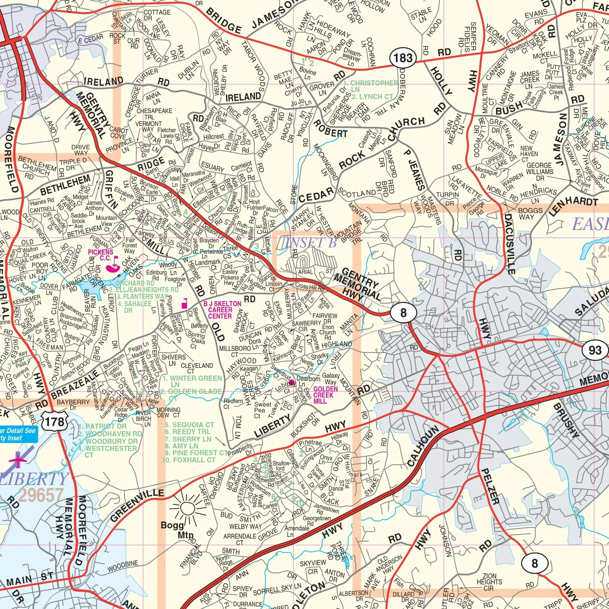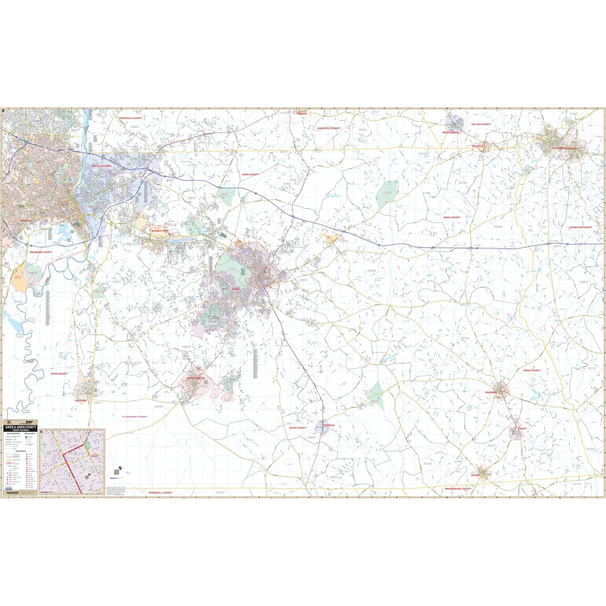


Aiken, SC Wall Map
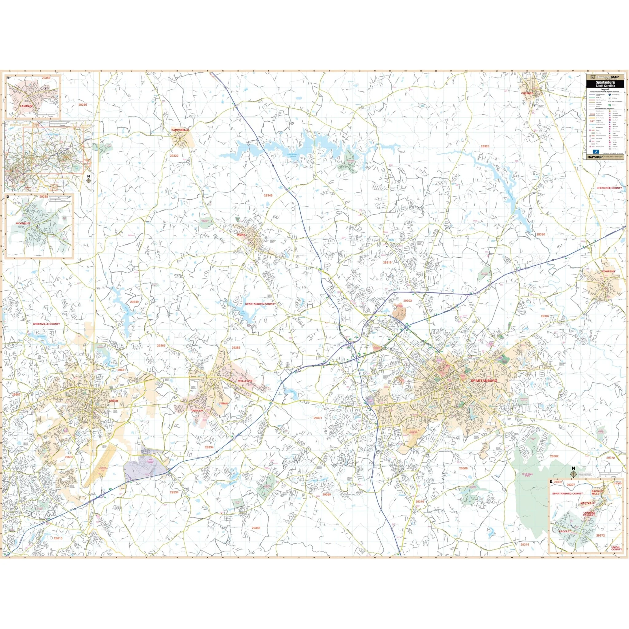
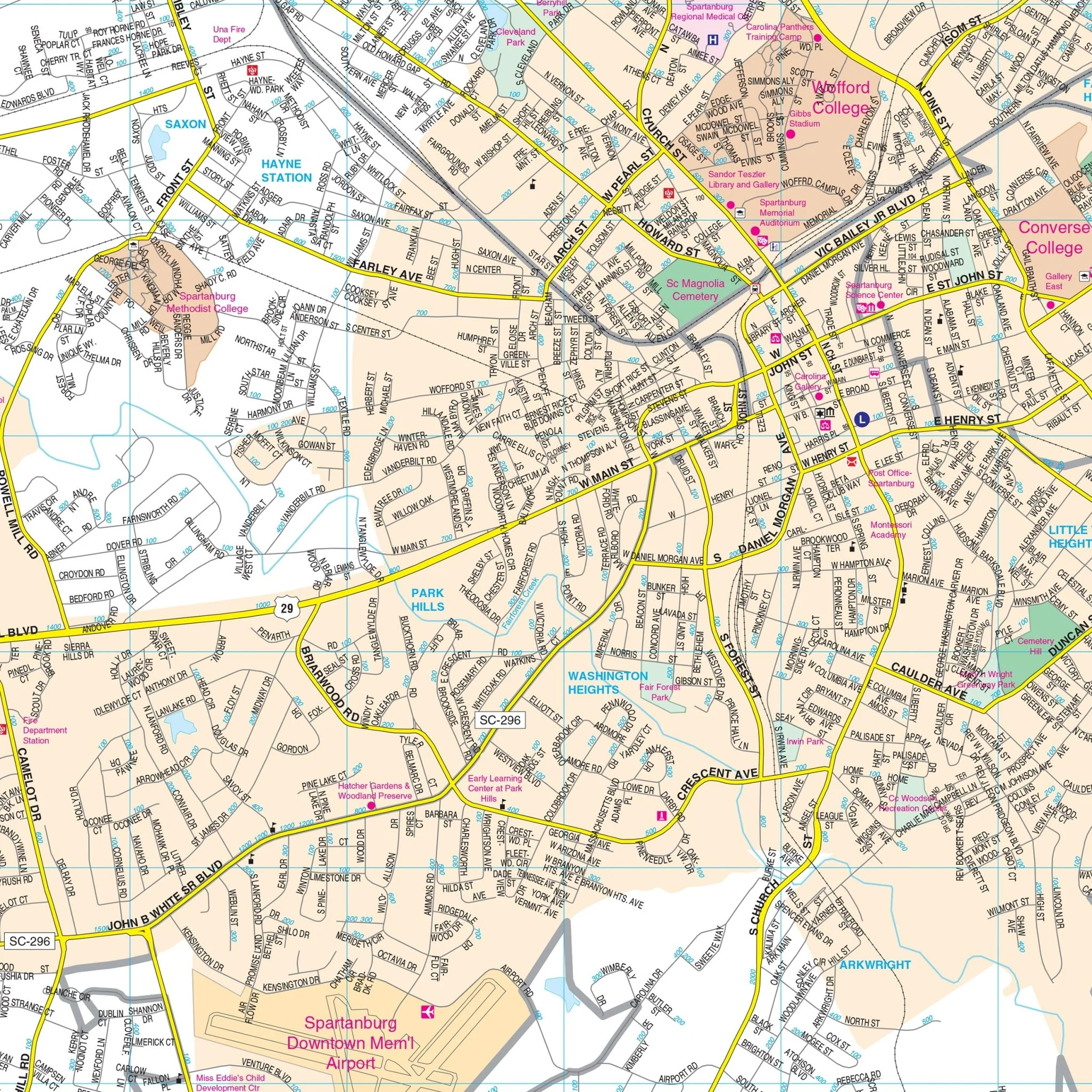
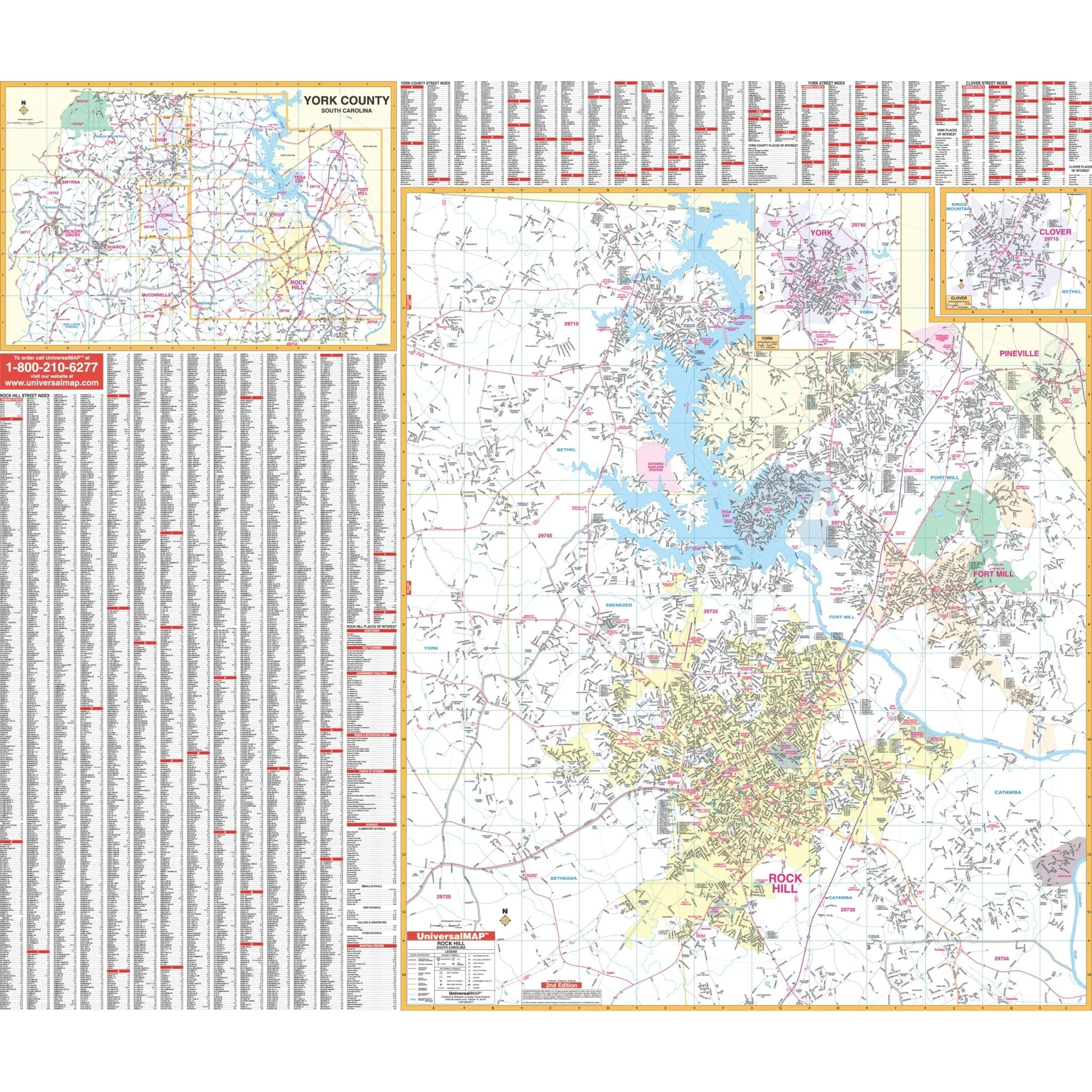
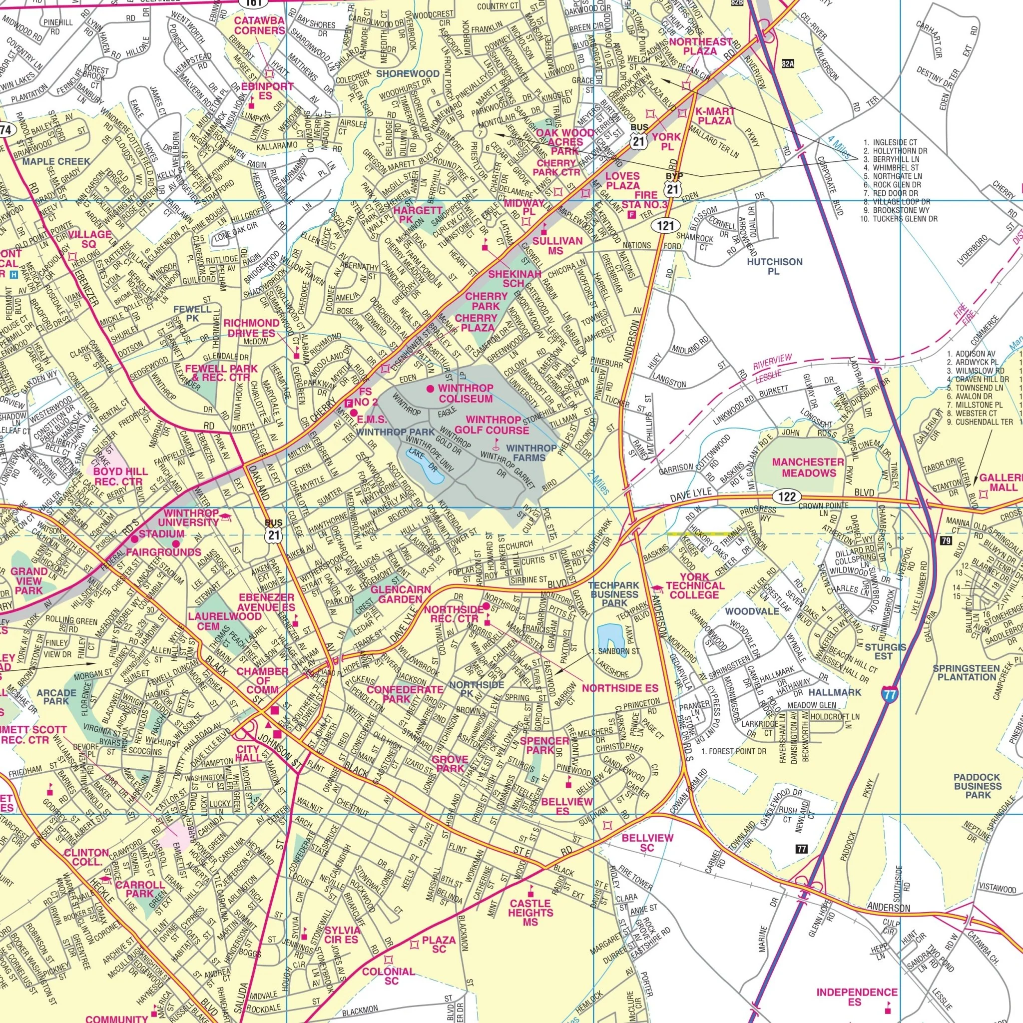
The Aiken County, SC Wall Map covers the following area:
- North: Edgefield County line
- South: Barnwell County line
- East: Orangeburg and Lexington County lines
- West: The Georgia State line
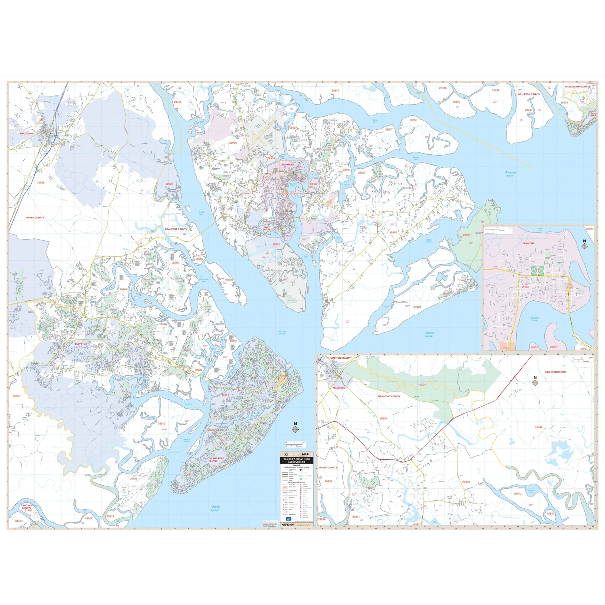
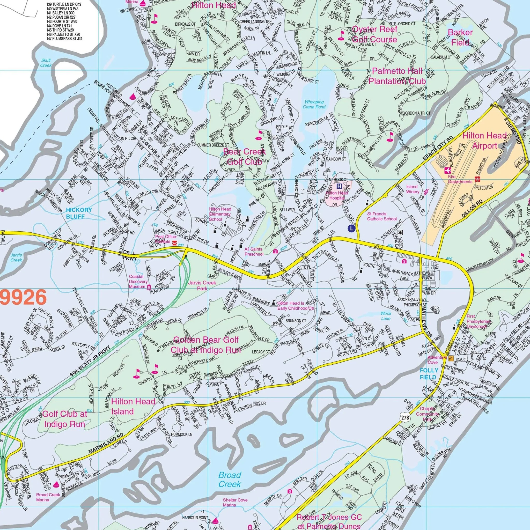
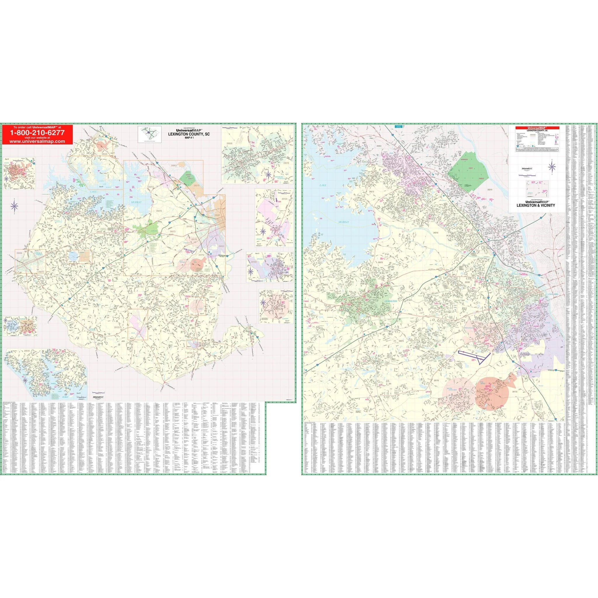
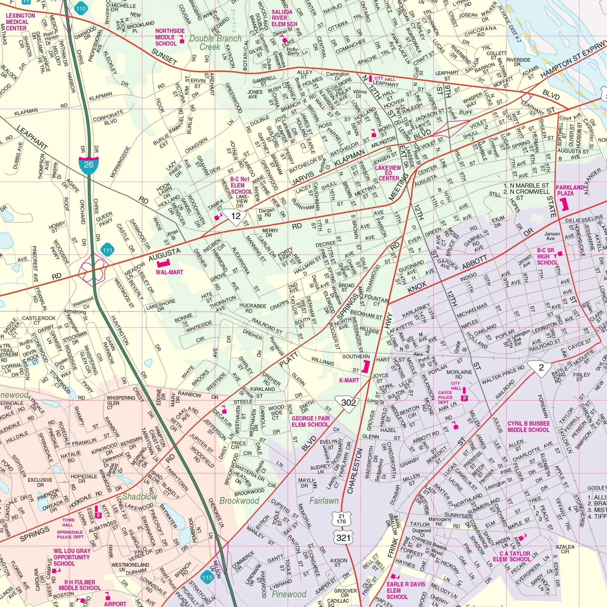
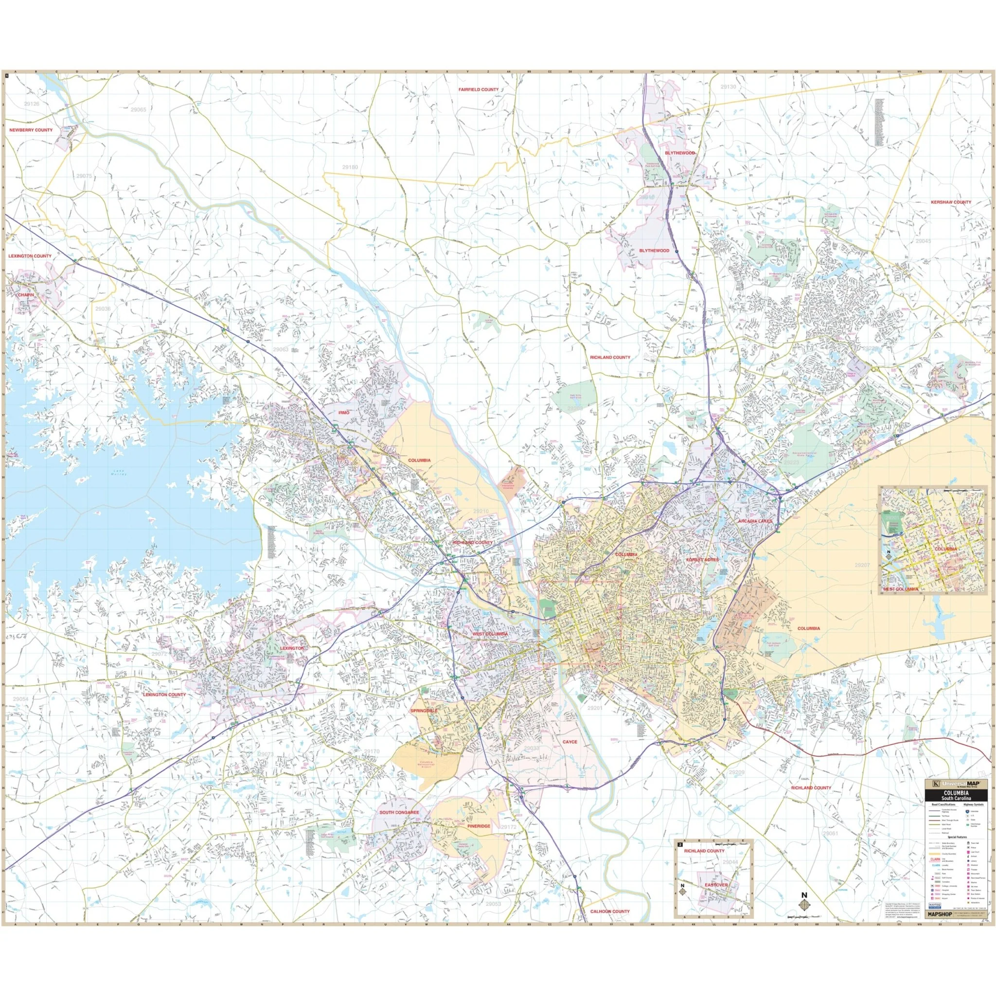
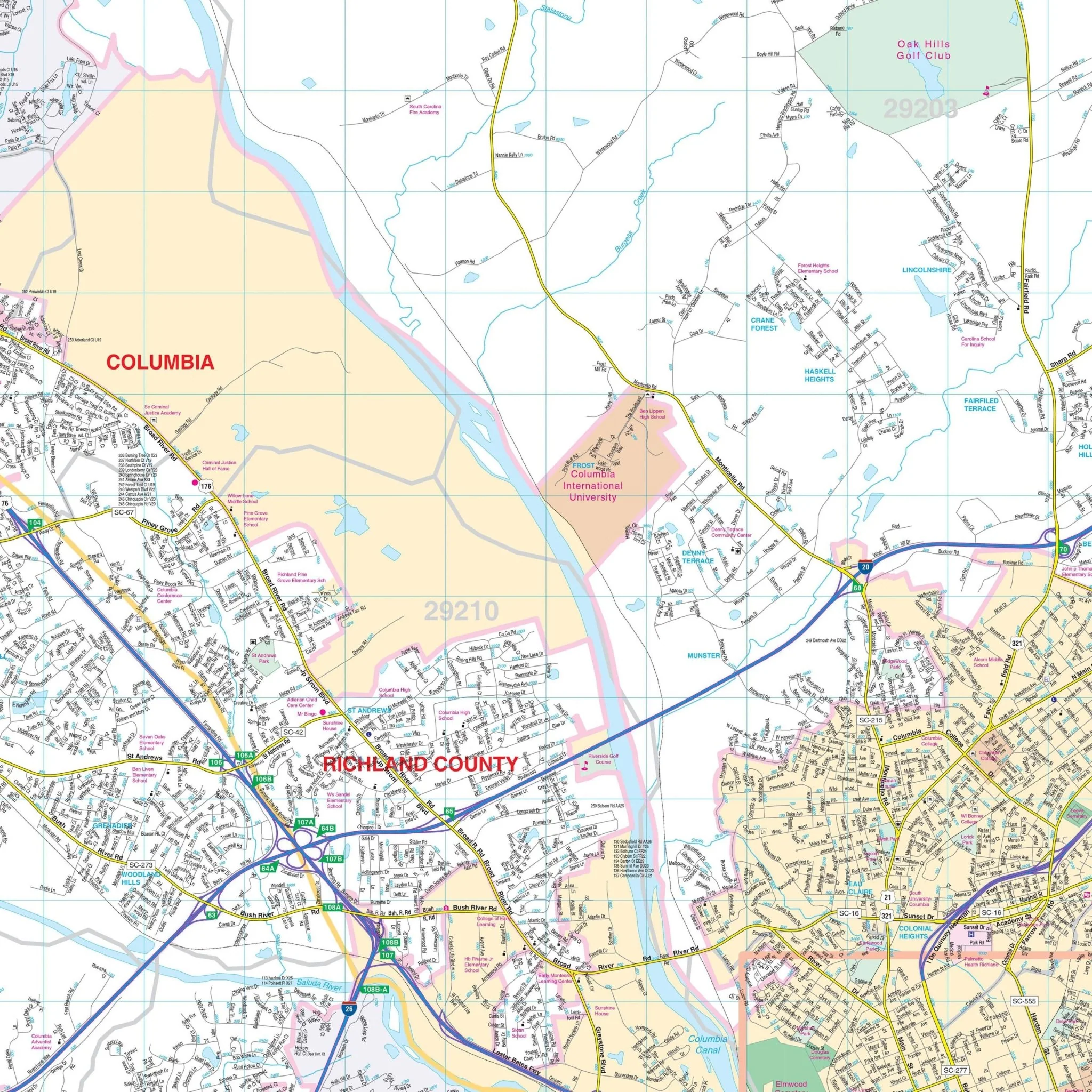
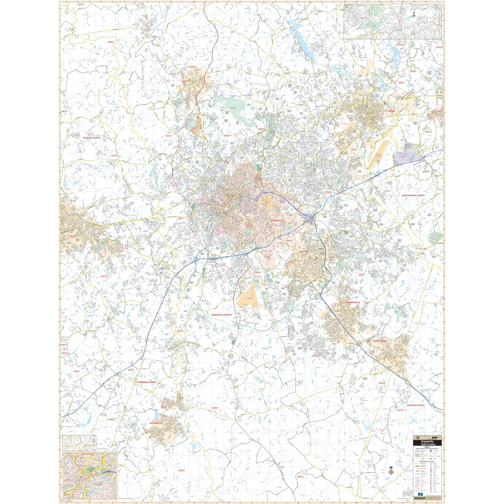
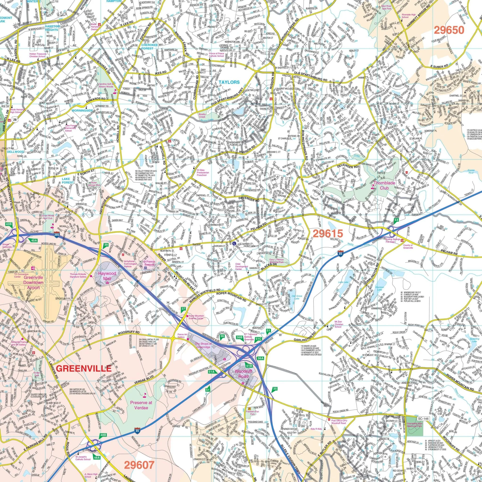
This comprehensive map provides complete street detail for Aiken County. It includes essential information such as streets, airports, government buildings, post offices, cemeteries, fire and police stations, hospitals, shopping centers, educational institutions, railroads, water features, golf and country clubs, mileage circles, recreational parks, ZIP codes and boundaries, as well as block numbers.
Size: 77" x 50"
Published: 2012
Original: $149.99
-70%$149.99
$45.00Product Information
Product Information
Shipping & Returns
Shipping & Returns
Description
The Aiken County, SC Wall Map covers the following area:
- North: Edgefield County line
- South: Barnwell County line
- East: Orangeburg and Lexington County lines
- West: The Georgia State line
This comprehensive map provides complete street detail for Aiken County. It includes essential information such as streets, airports, government buildings, post offices, cemeteries, fire and police stations, hospitals, shopping centers, educational institutions, railroads, water features, golf and country clubs, mileage circles, recreational parks, ZIP codes and boundaries, as well as block numbers.
Size: 77" x 50"
Published: 2012