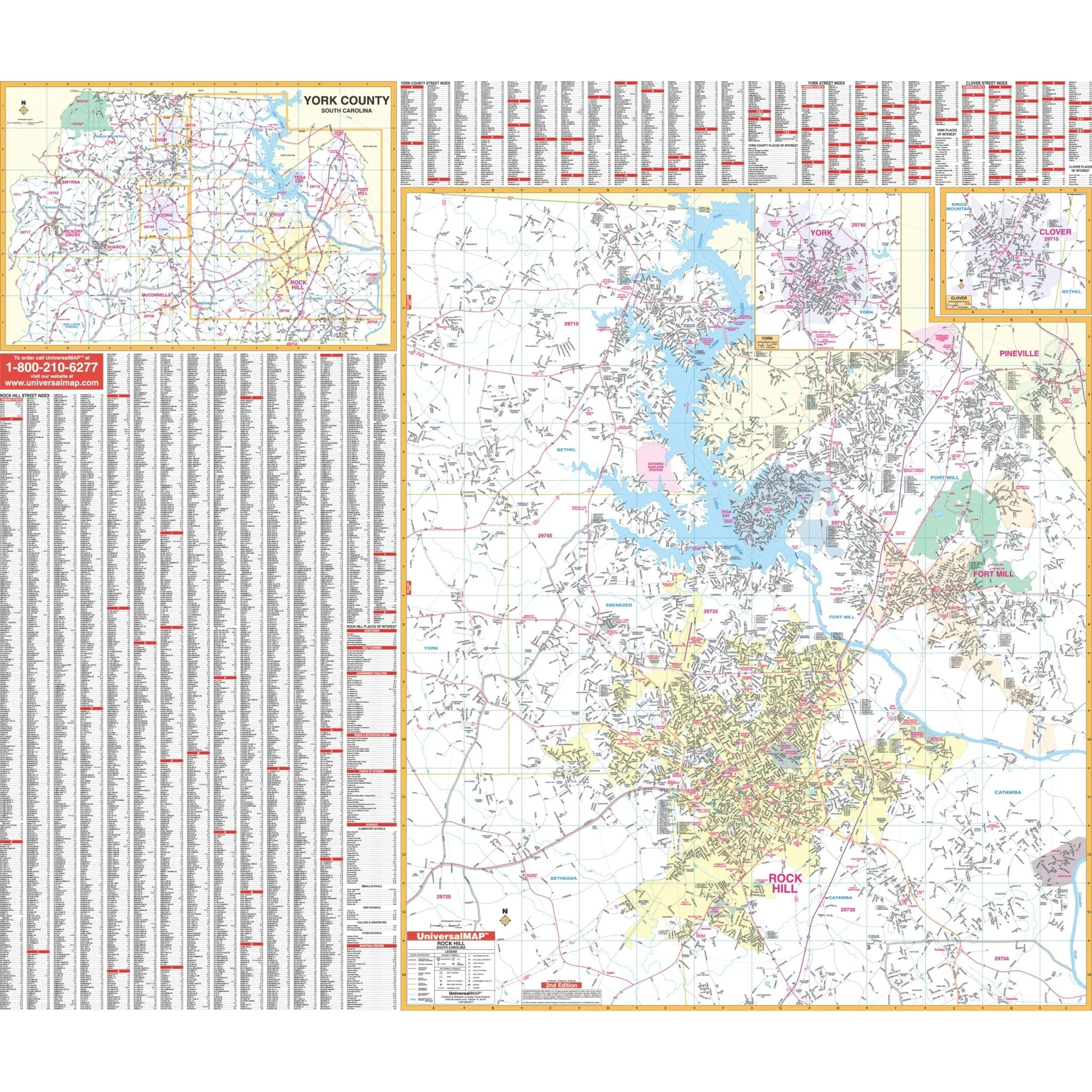


Rock Hill, SC Wall Map
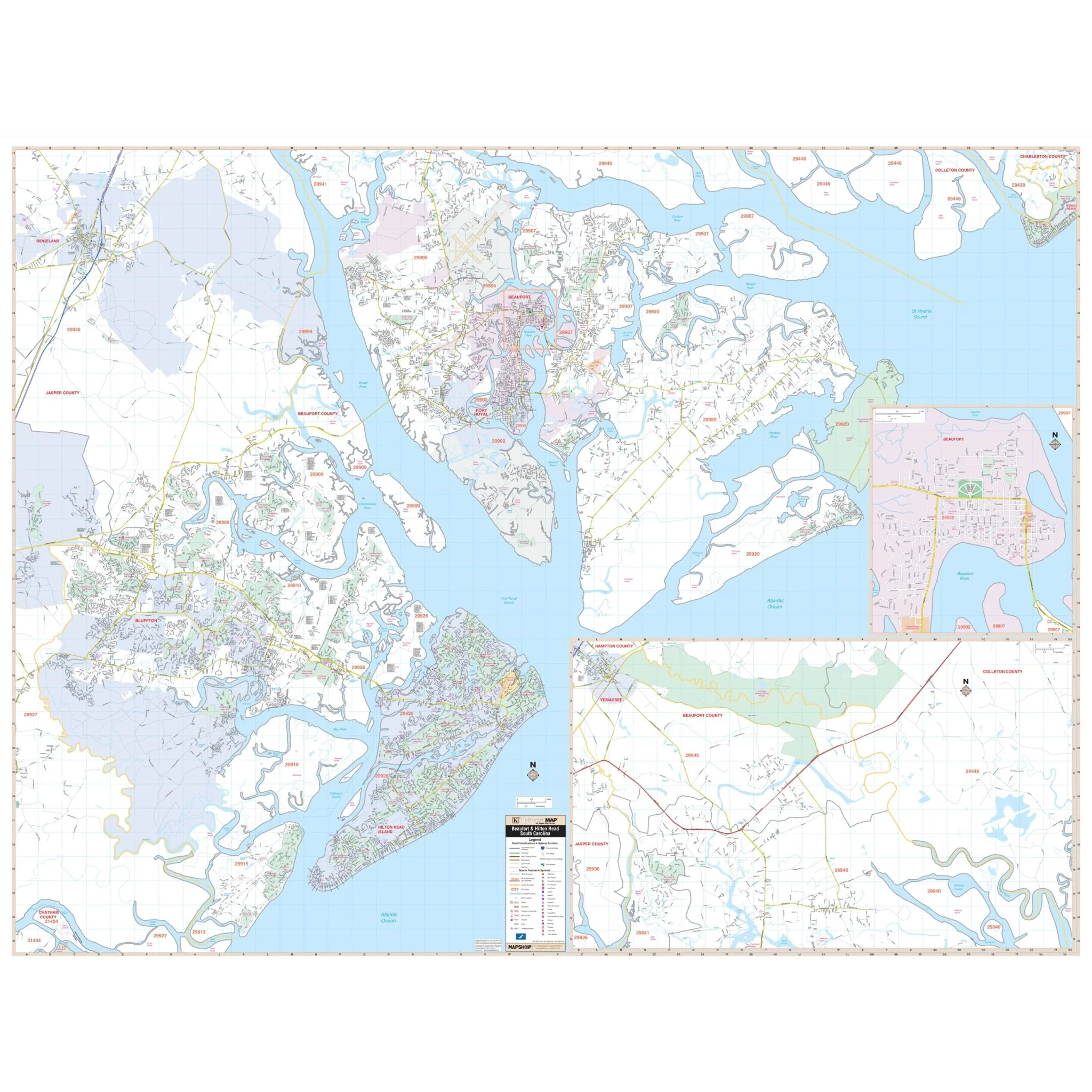
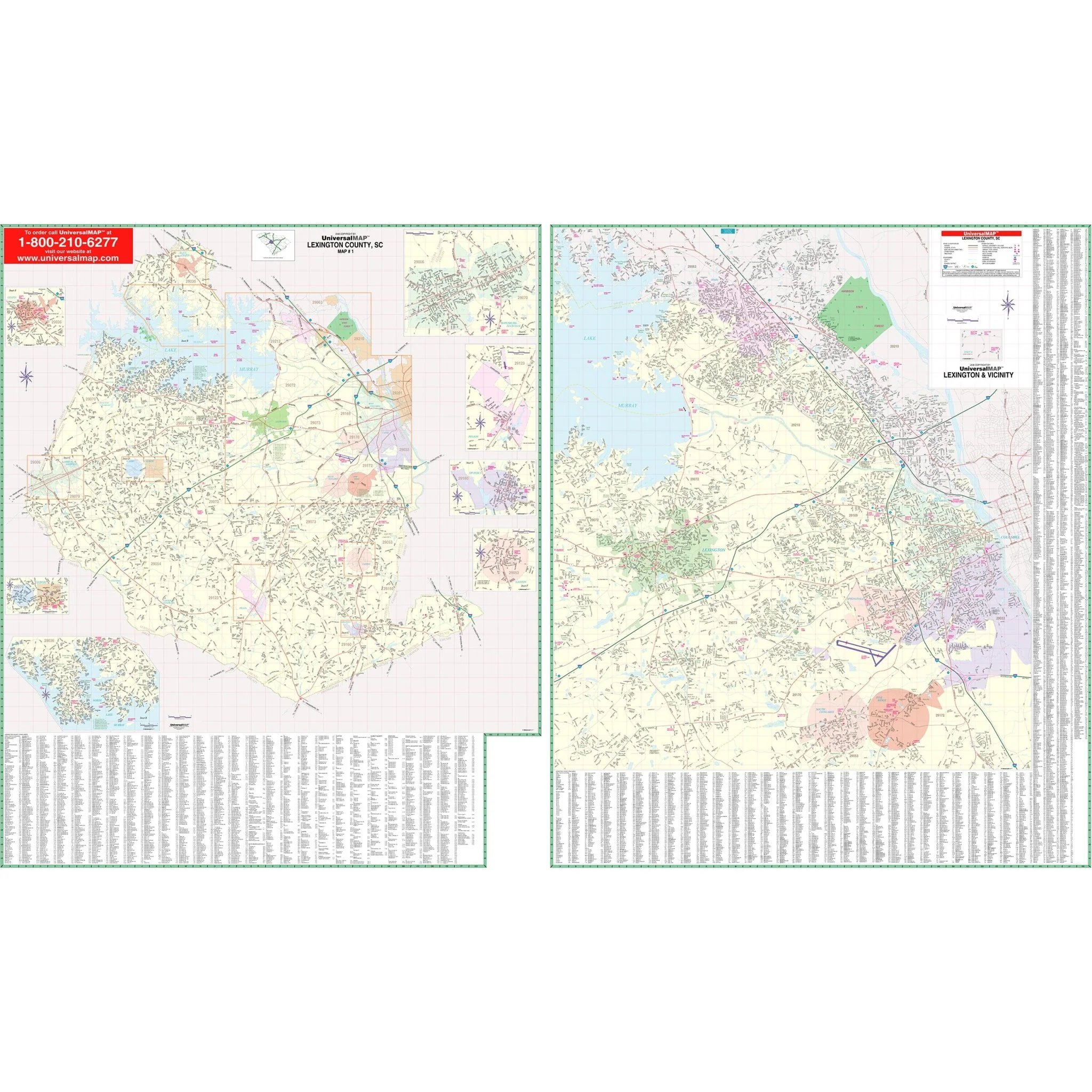
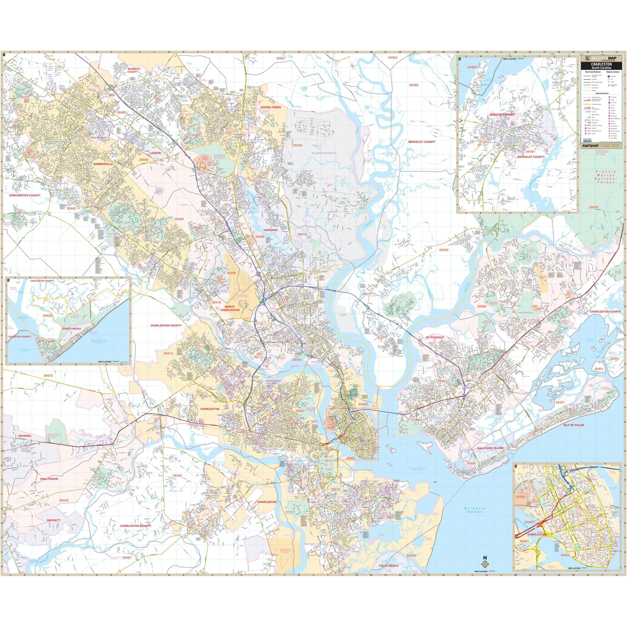
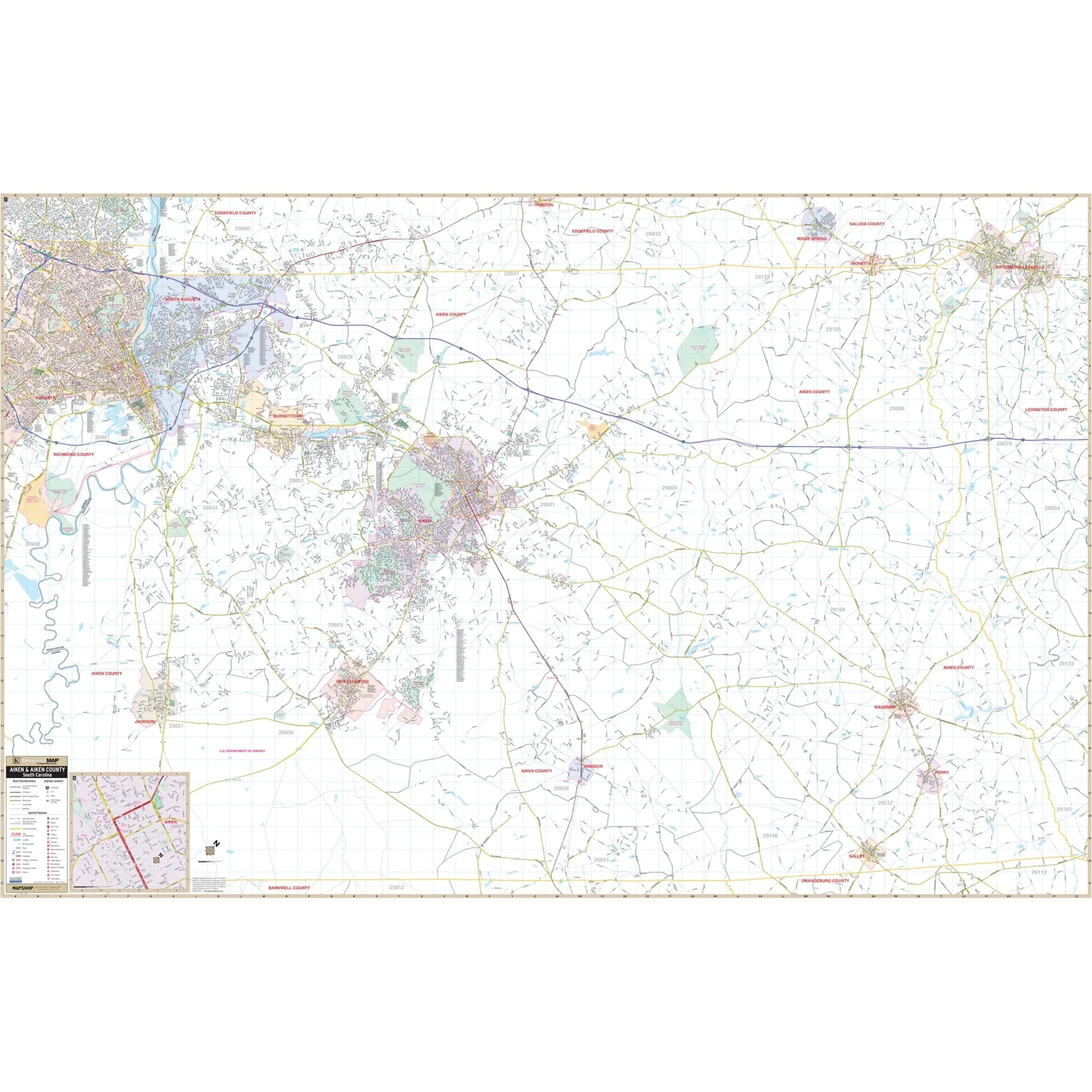
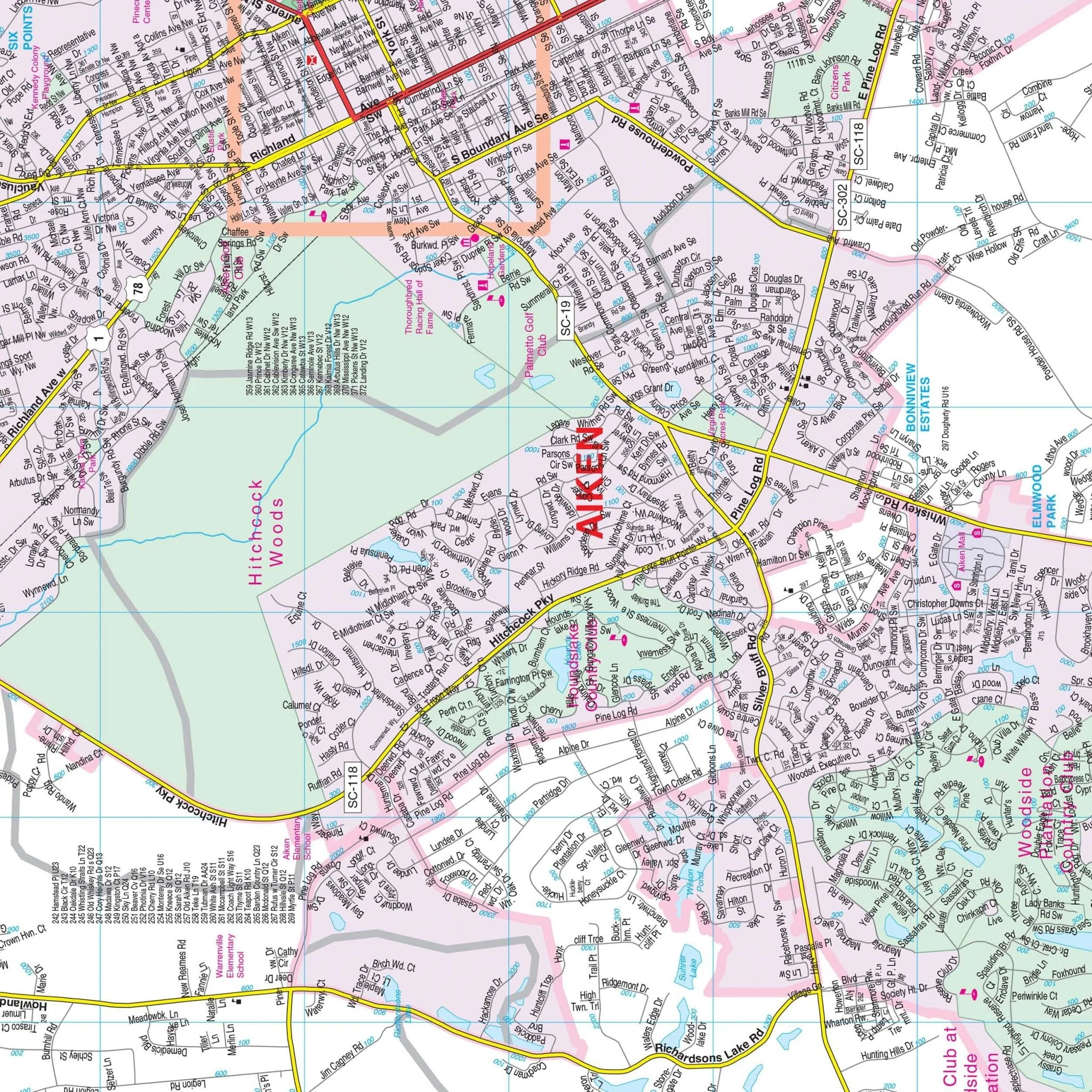
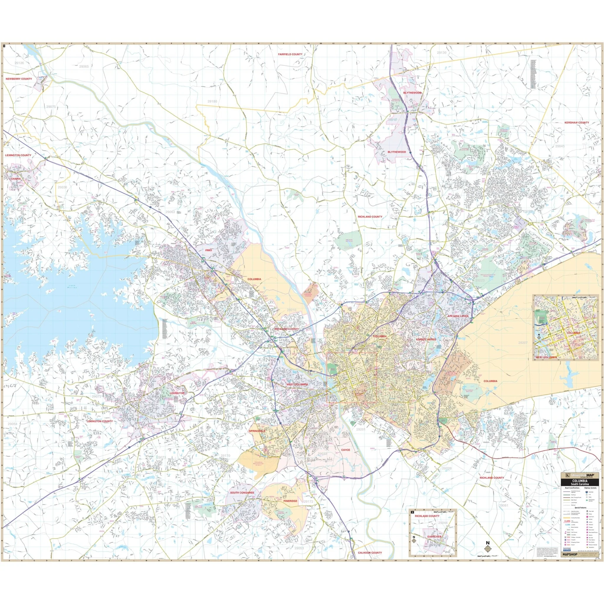
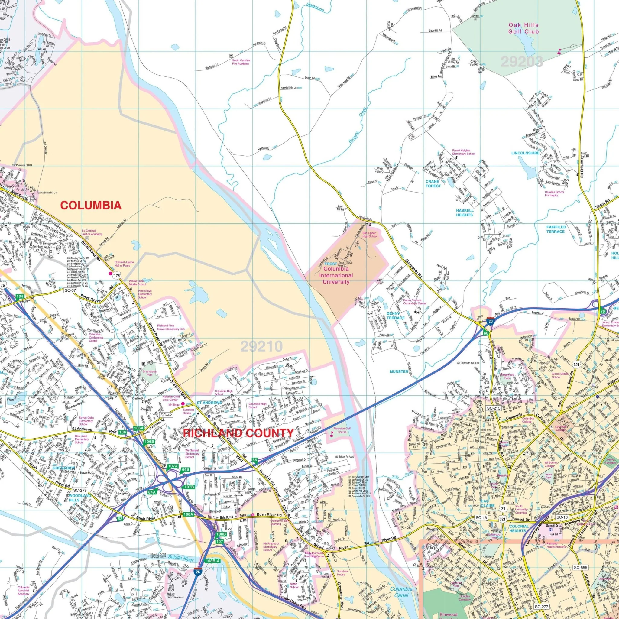
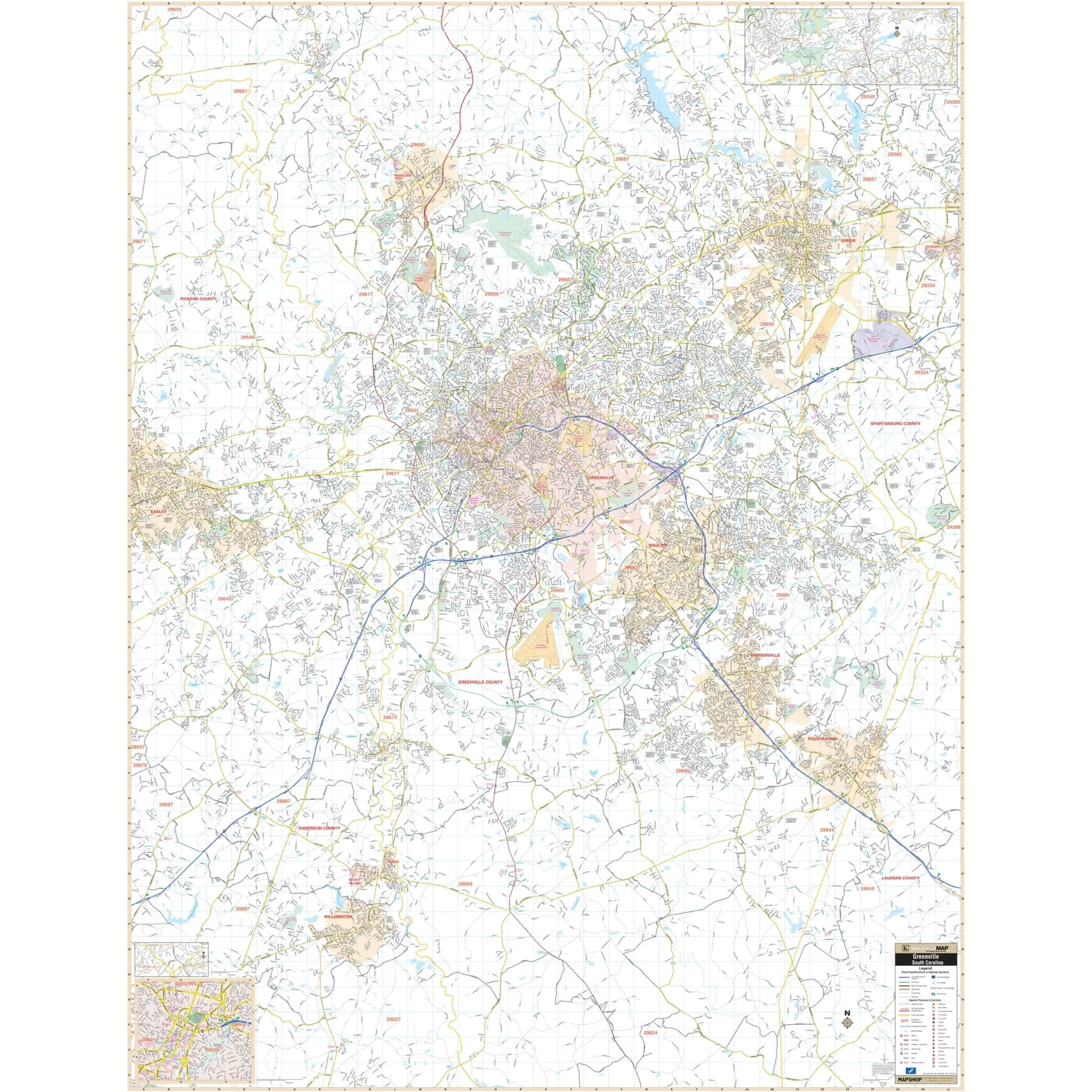
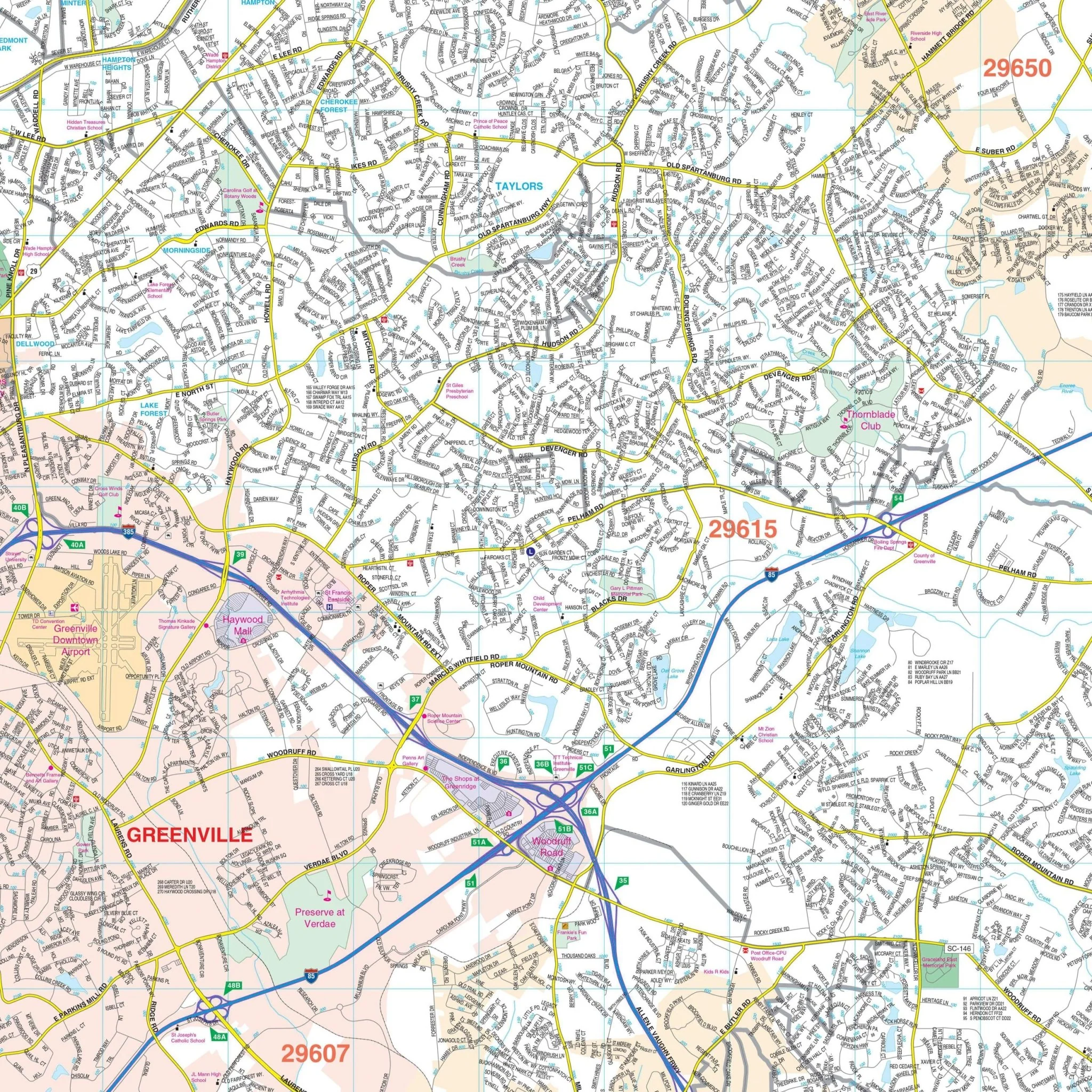
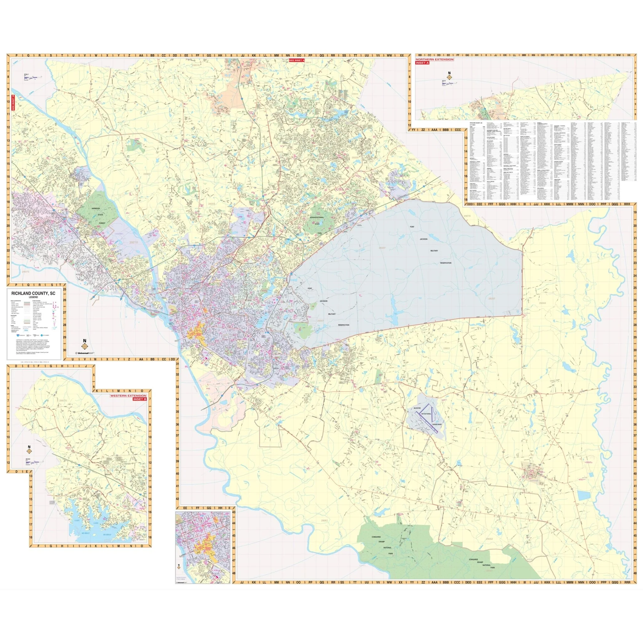
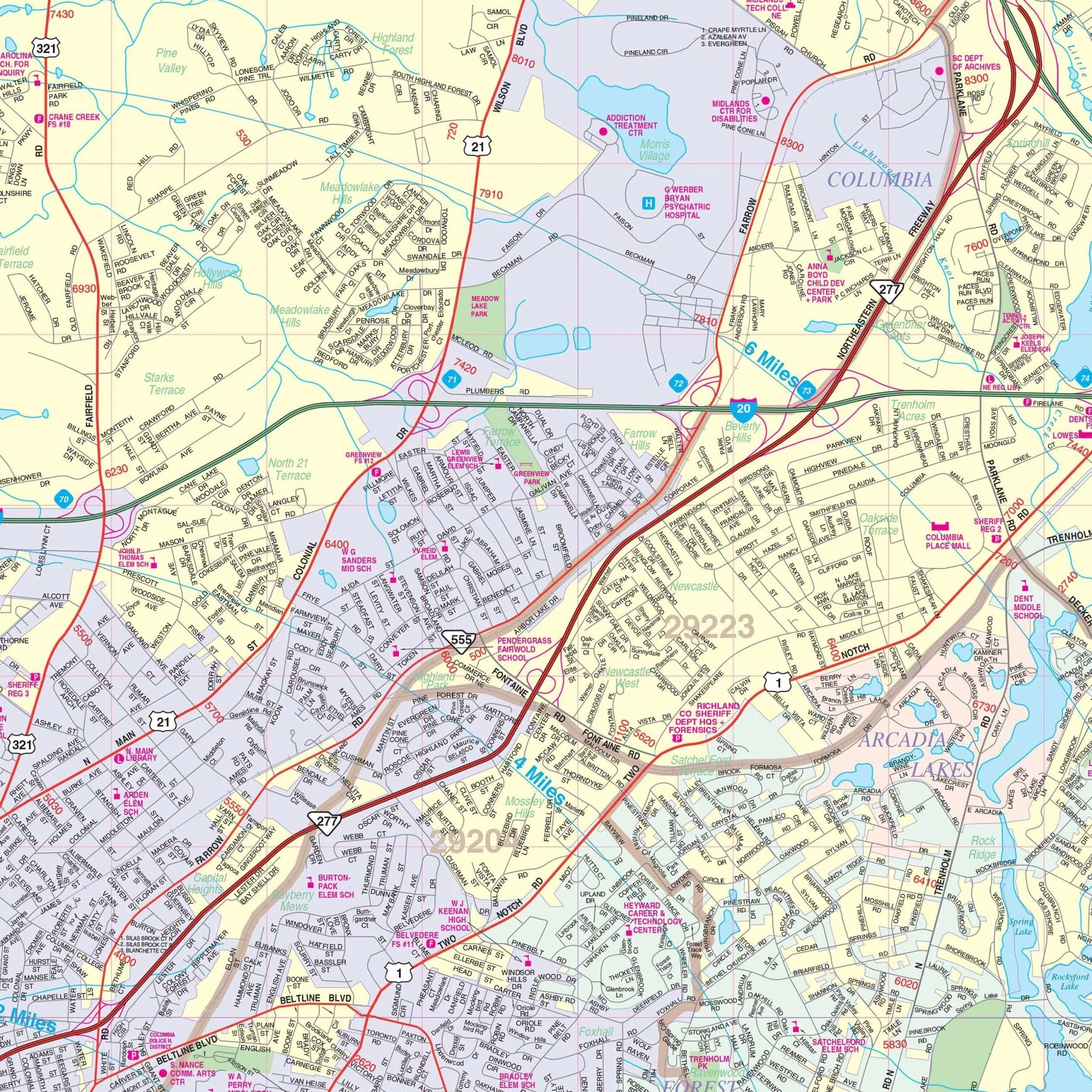
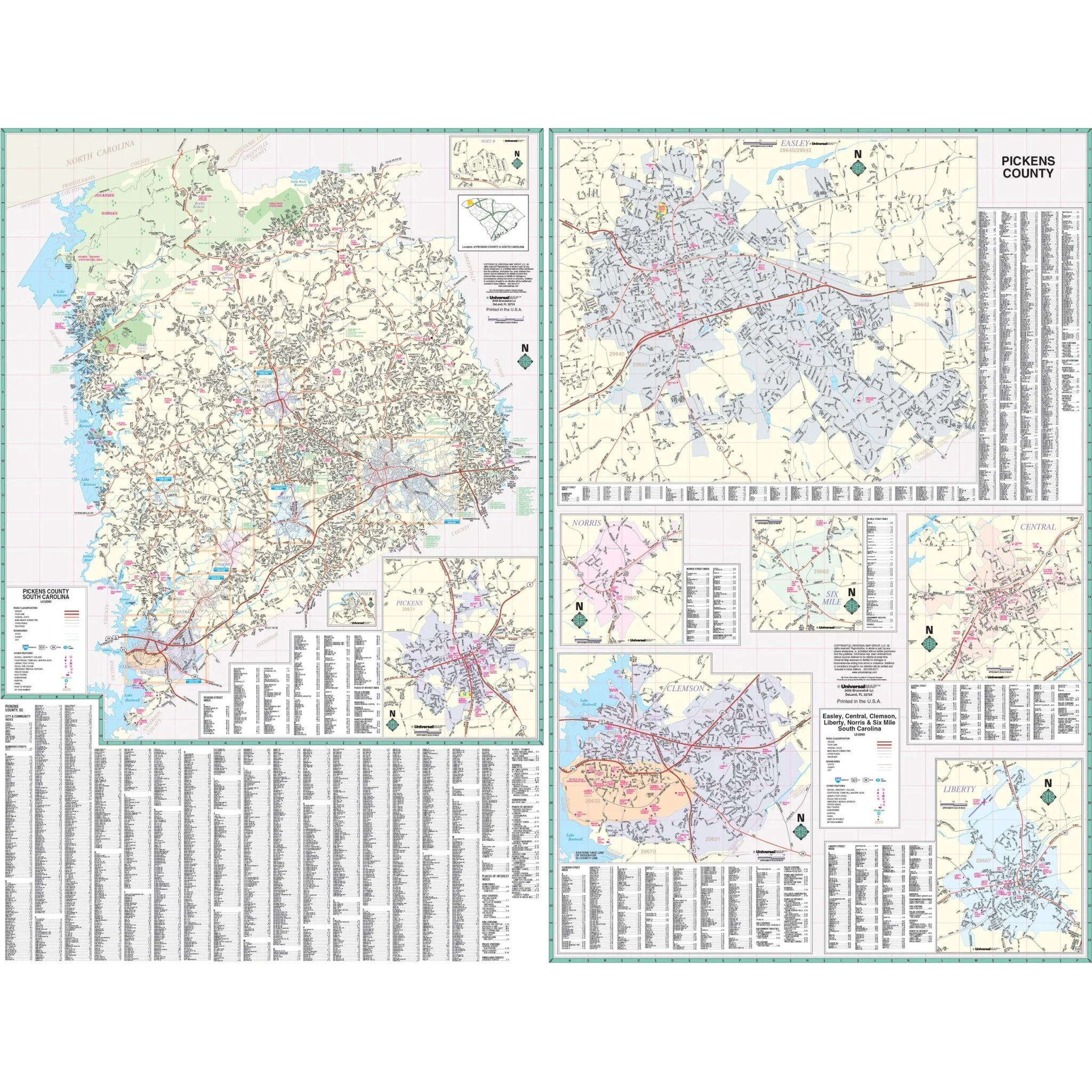
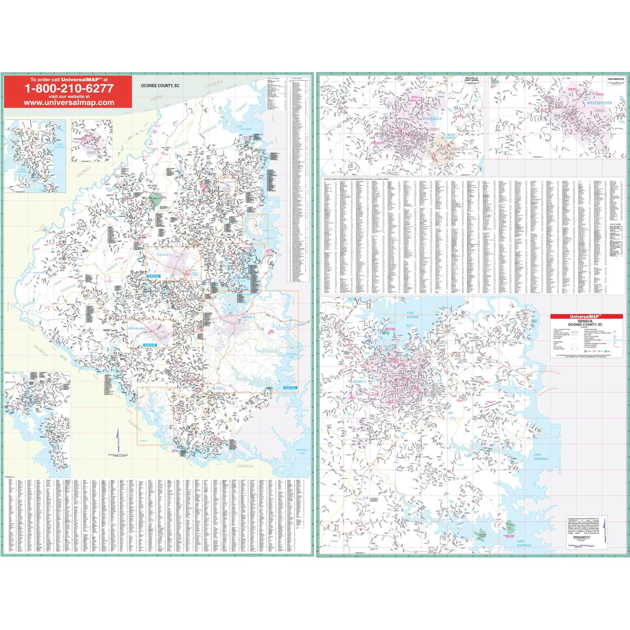
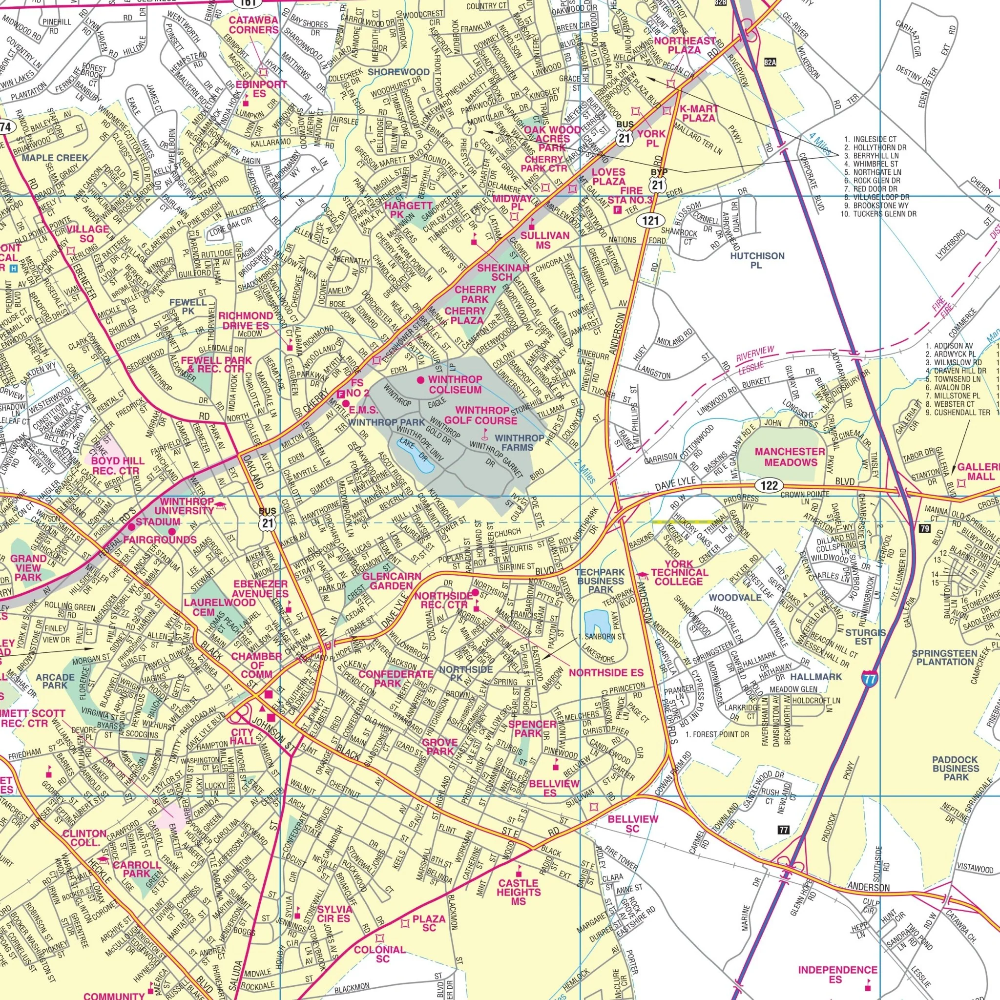
The Wall Map of Rock Hill, York County, SC with adjacent areas offers comprehensive street detail at a scale of 1-inch = 2,166 feet. It provides up-to-date cartography with new streets and changes, and streets are conveniently indexed on the face of the map.
The map covers the following boundaries:
- North: to the state line
- South: to exit 73 off I-77
- East: to Pineville and 2 miles east of Fort Mill
- West: 4 miles west of the Rock Hill city limits
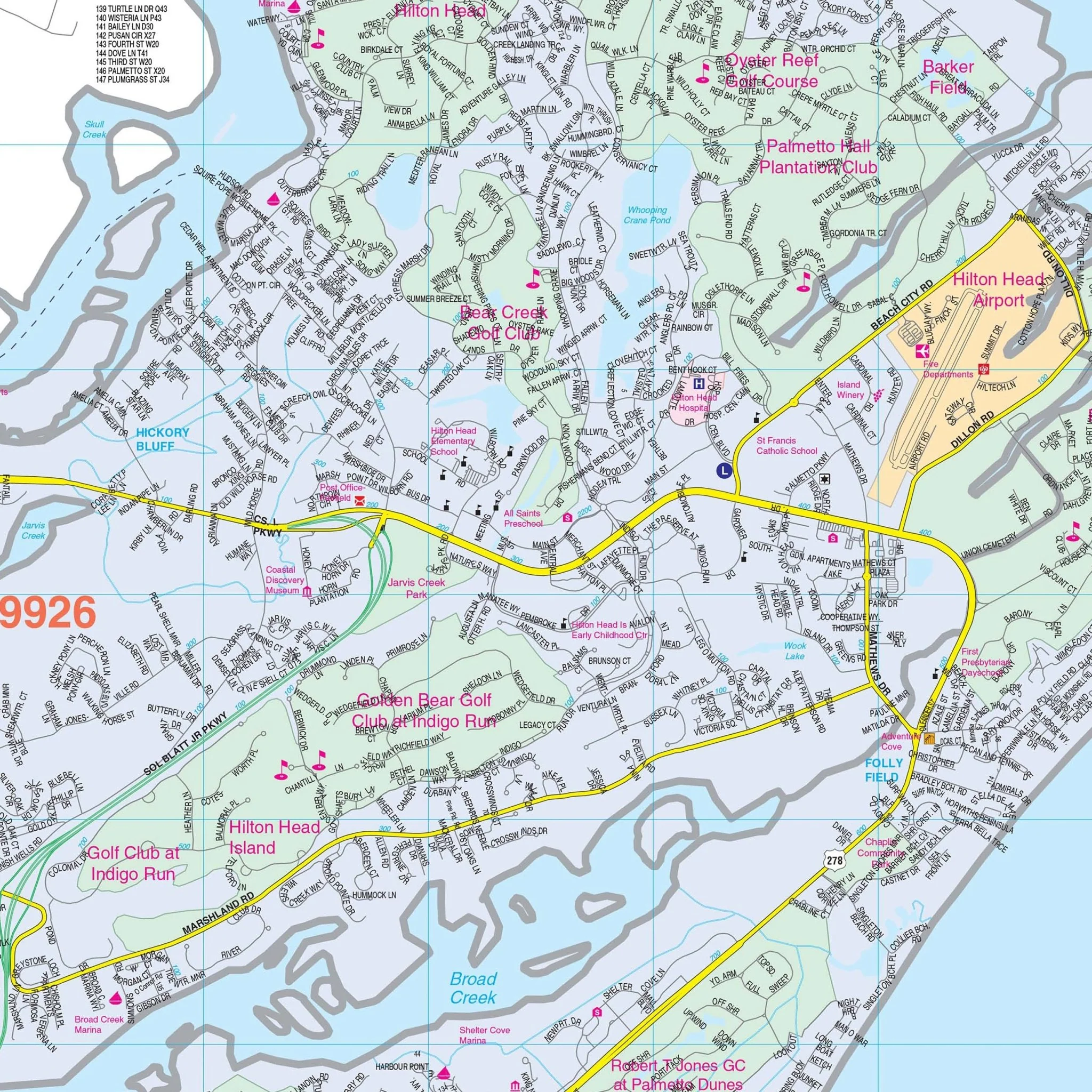
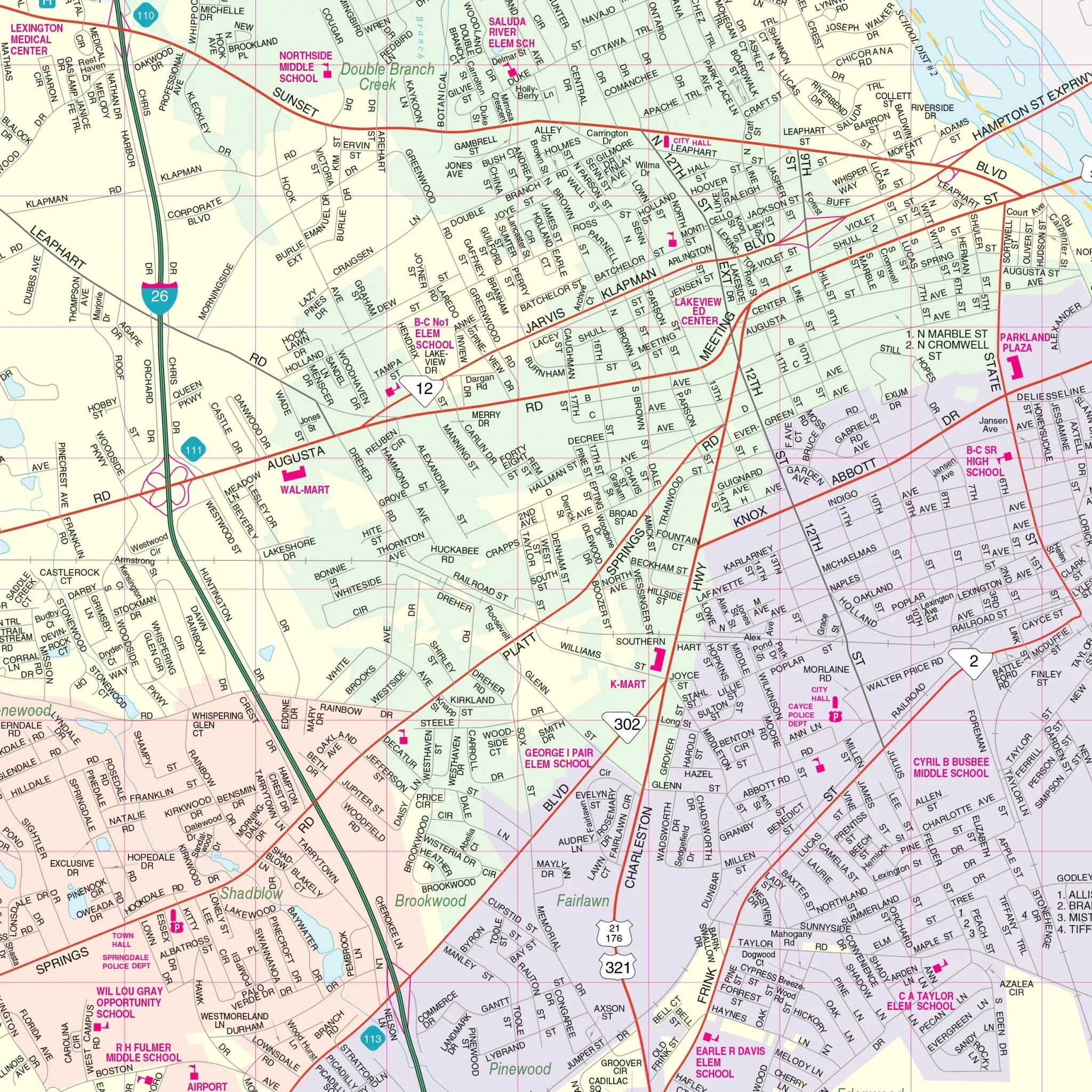
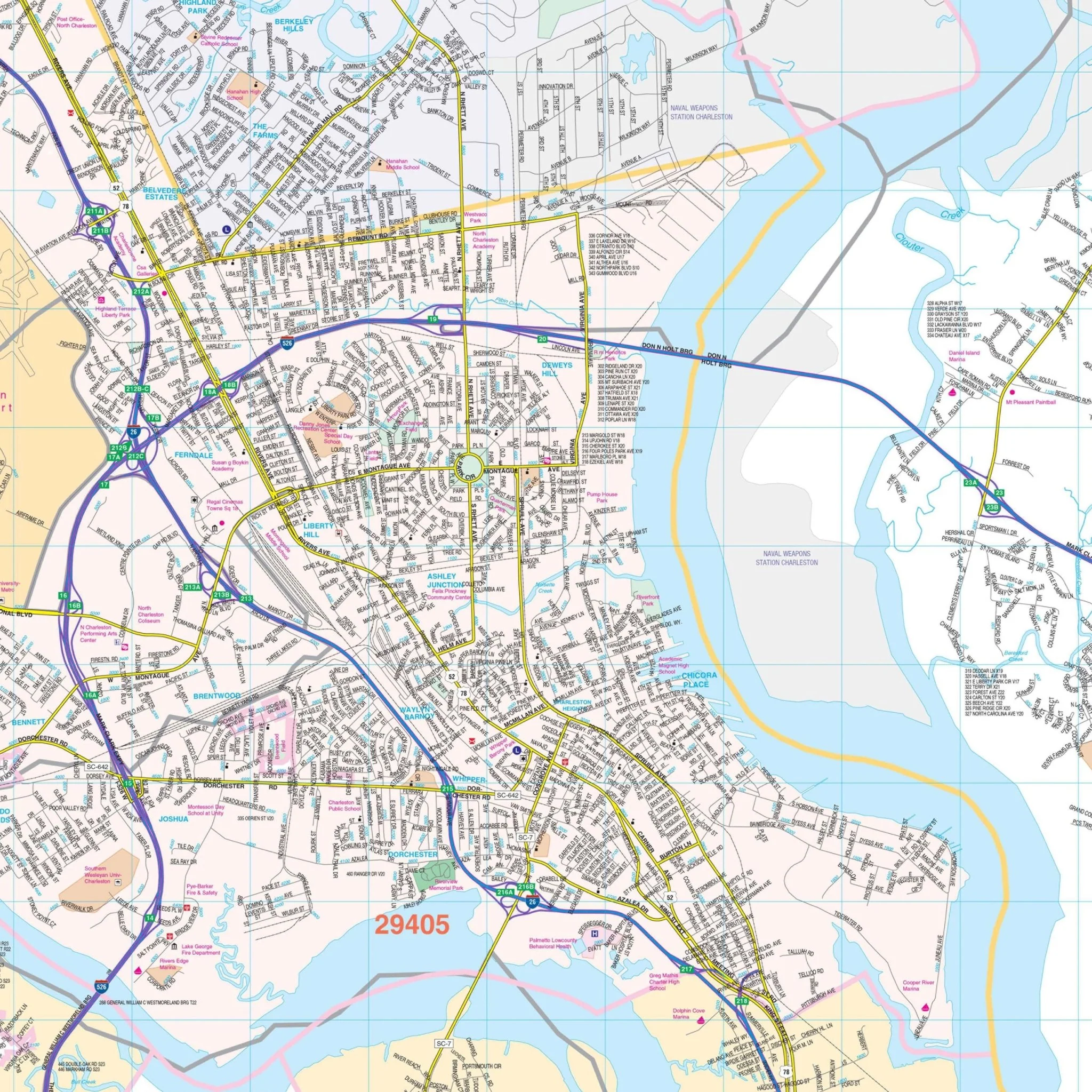
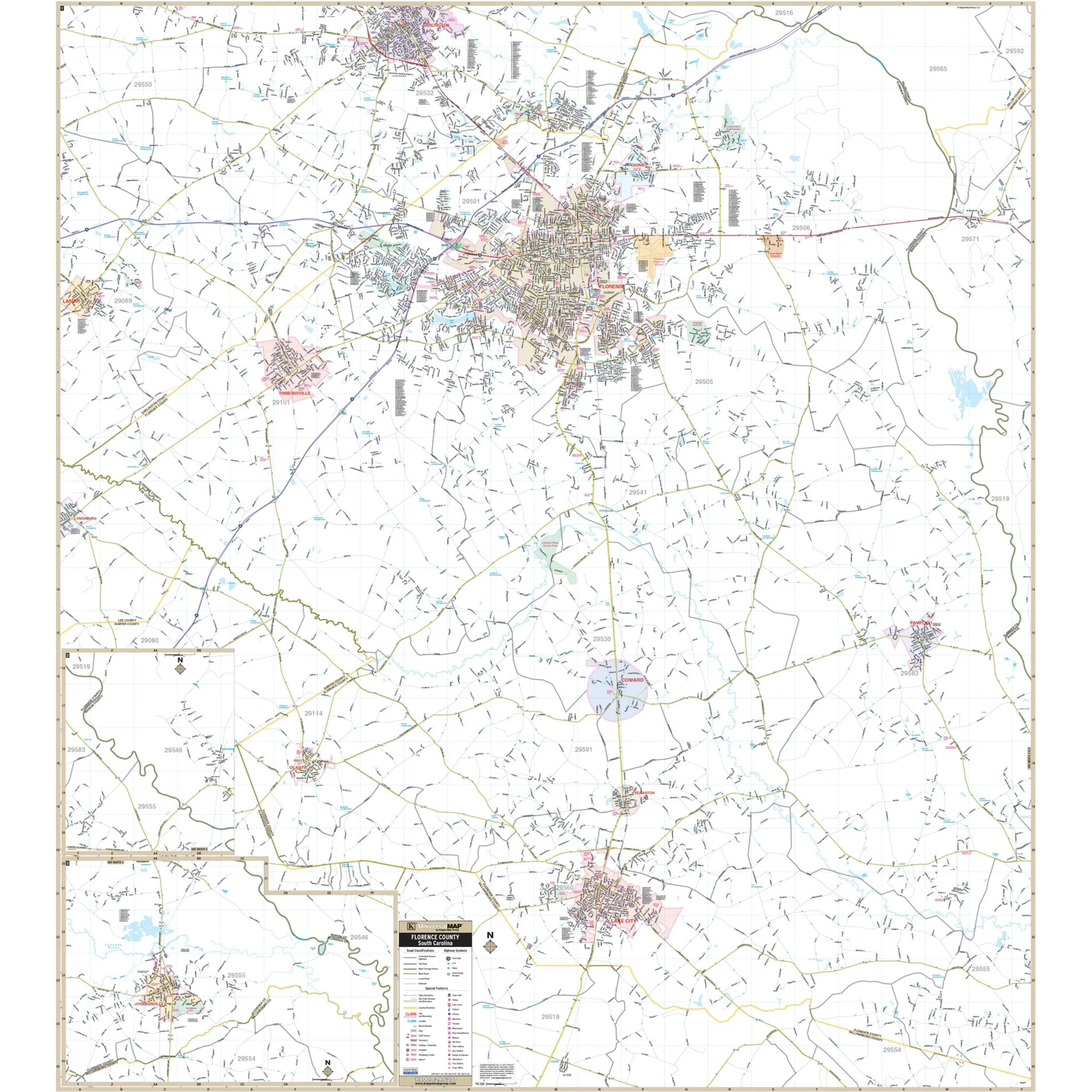
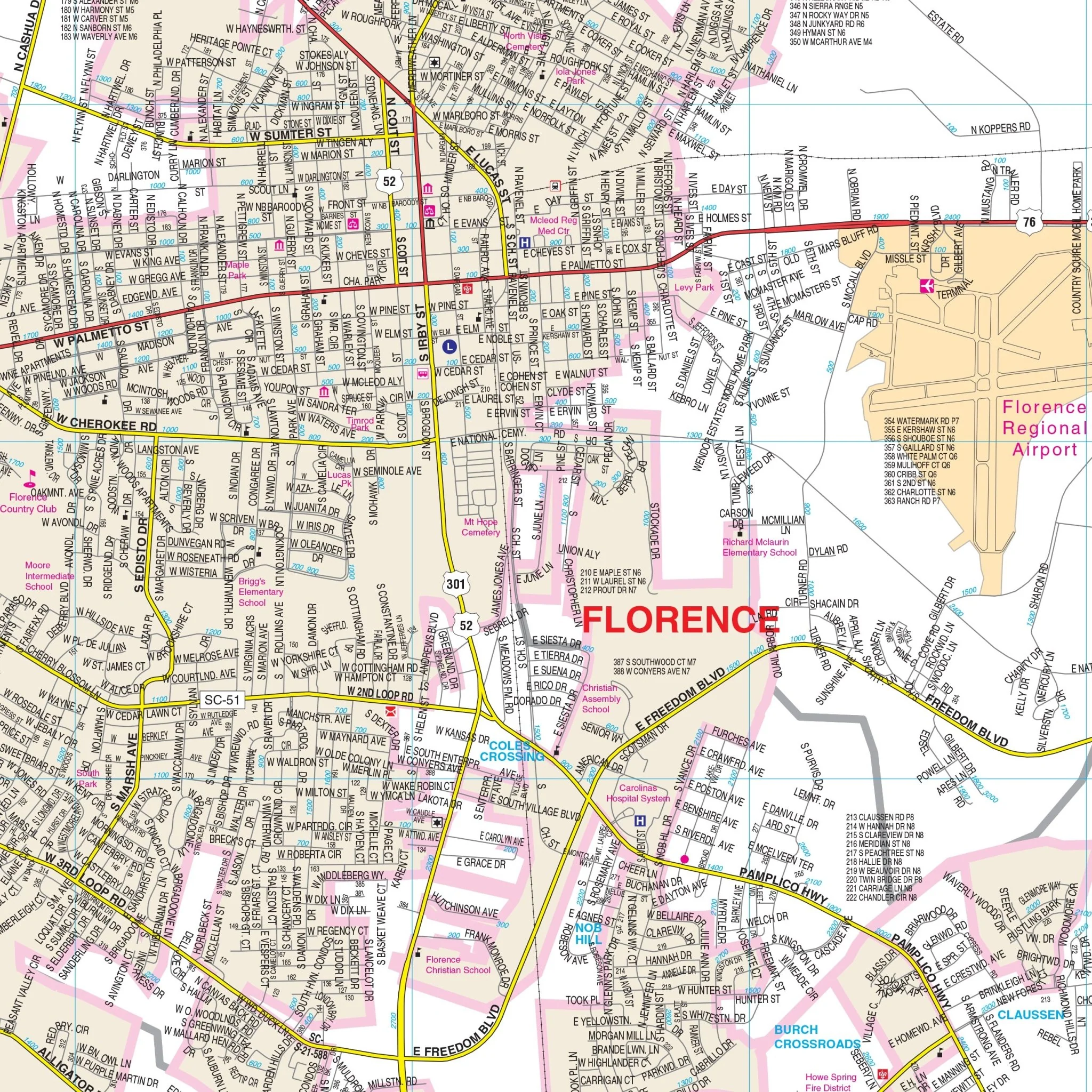
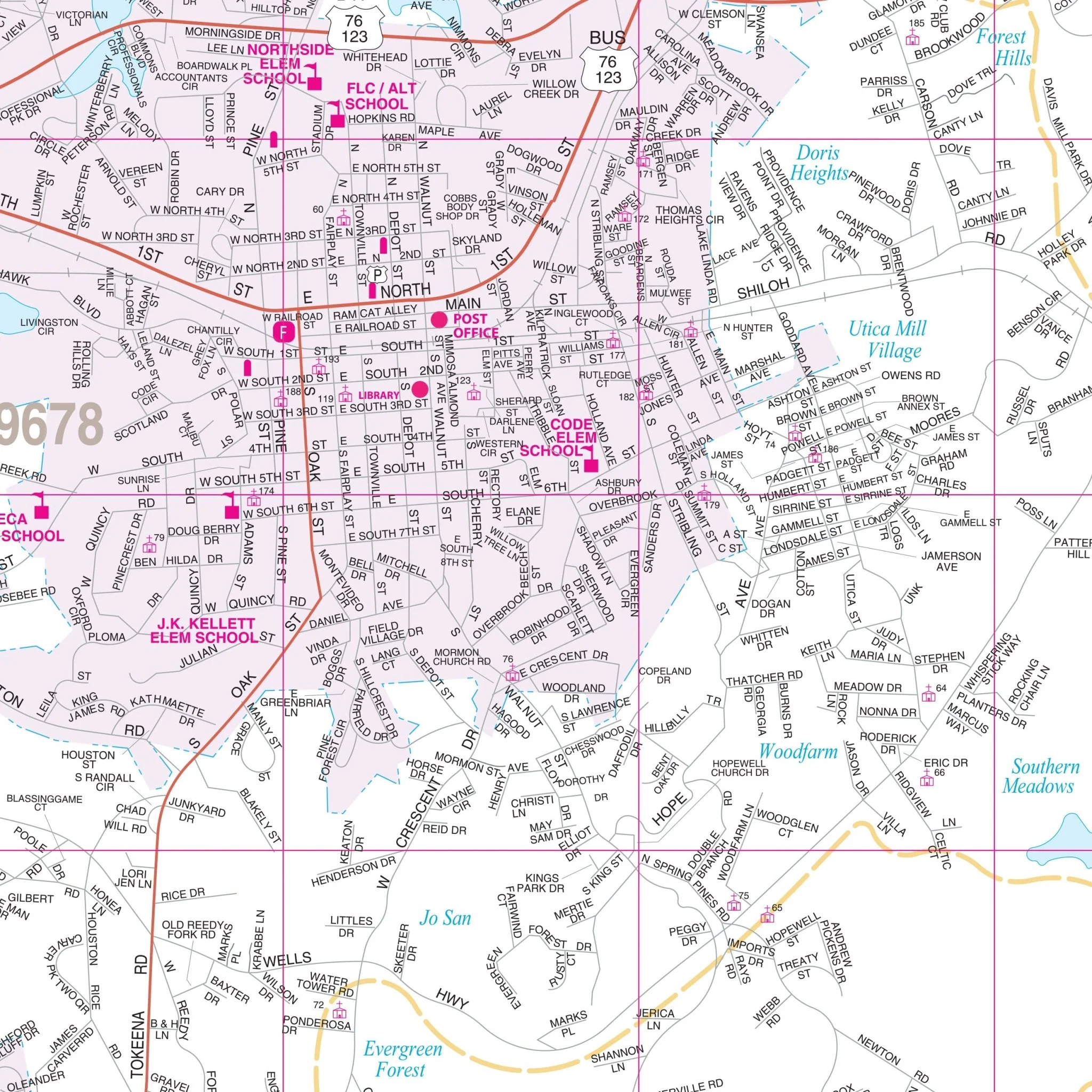
In addition to Rock Hill, the map includes insets for Clover and York, as well as York County with remaining residential streets. It offers a wealth of details, including information about airports, all streets and highways, government buildings, cemeteries, shopping centers, fire and police stations, hospitals, water features, educational facilities, railroads, recreational parks, golf courses and country clubs, post offices, mileage circles, ZIP codes and boundaries, city limits and annexations, fire district lines, and points of interest.
Size: 54" x 45.5"
Published: 2009
Original: $139.99
-70%$139.99
$42.00Product Information
Product Information
Shipping & Returns
Shipping & Returns
Description
The Wall Map of Rock Hill, York County, SC with adjacent areas offers comprehensive street detail at a scale of 1-inch = 2,166 feet. It provides up-to-date cartography with new streets and changes, and streets are conveniently indexed on the face of the map.
The map covers the following boundaries:
- North: to the state line
- South: to exit 73 off I-77
- East: to Pineville and 2 miles east of Fort Mill
- West: 4 miles west of the Rock Hill city limits
In addition to Rock Hill, the map includes insets for Clover and York, as well as York County with remaining residential streets. It offers a wealth of details, including information about airports, all streets and highways, government buildings, cemeteries, shopping centers, fire and police stations, hospitals, water features, educational facilities, railroads, recreational parks, golf courses and country clubs, post offices, mileage circles, ZIP codes and boundaries, city limits and annexations, fire district lines, and points of interest.
Size: 54" x 45.5"
Published: 2009