


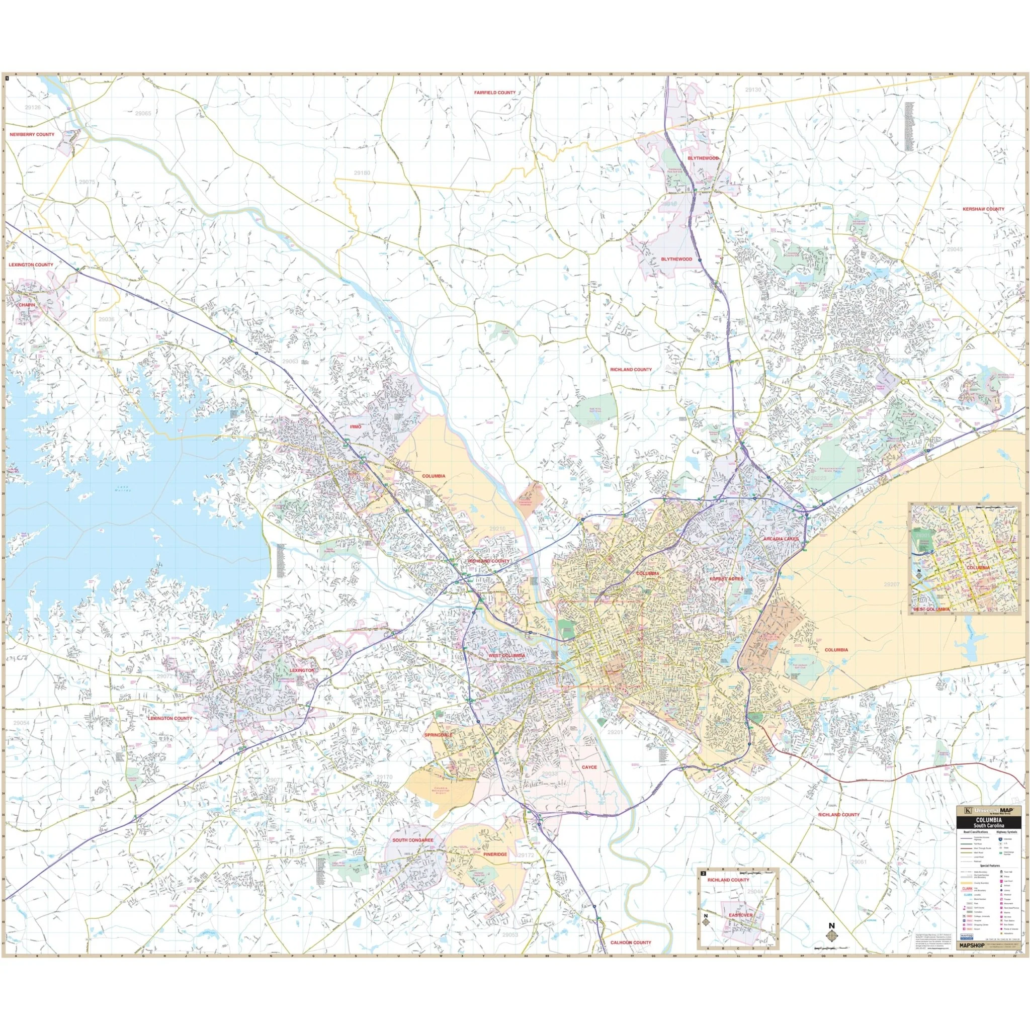


Columbia & West Columbia, SC Wall Map
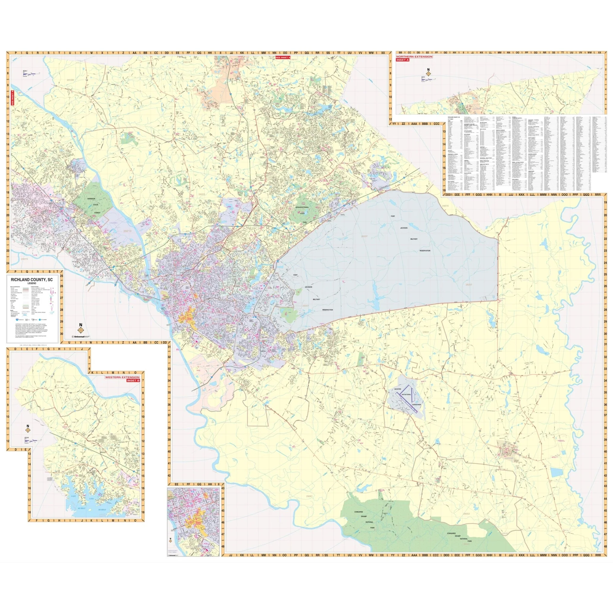
The Columbia-West Columbia, South Carolina Wall Map by Kappa Map Group covers the following area:
- North: City of Blythewood
- South: Cities of South Congaree and Pine Ridge
- East: Members Club at Wood Creek
- West: City of Chapin
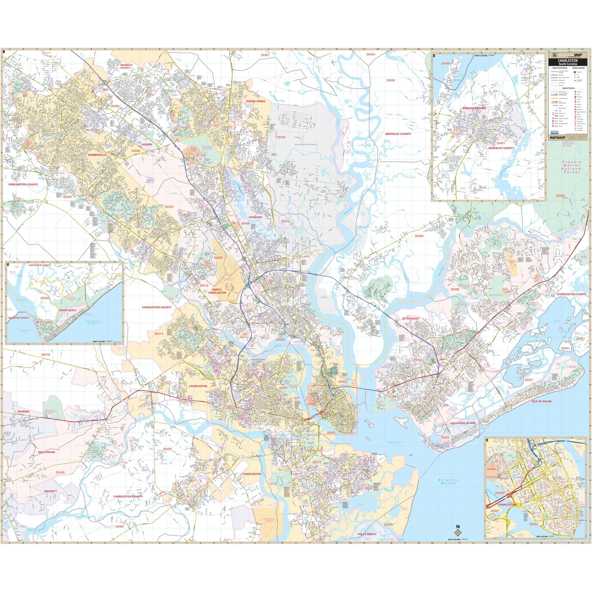
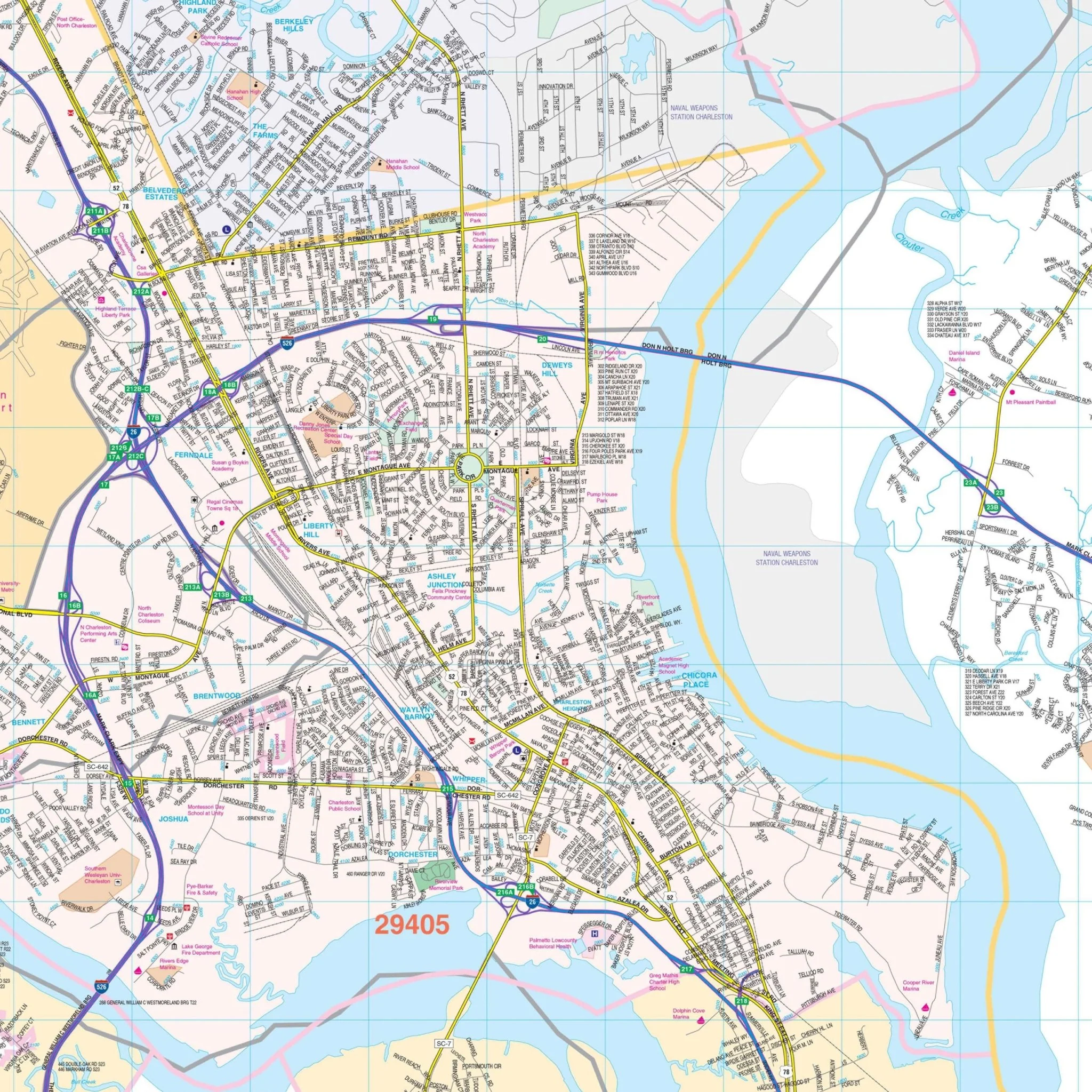
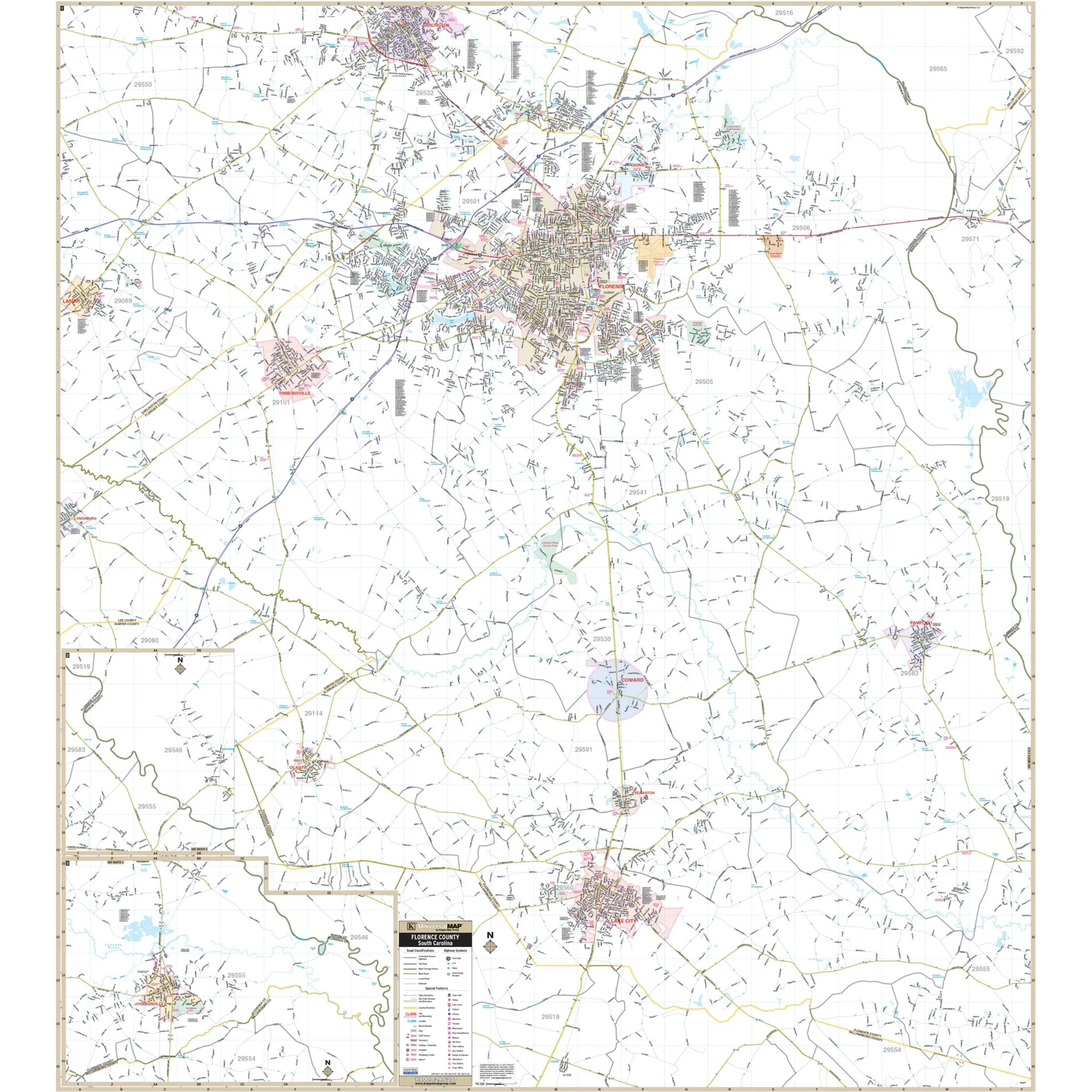
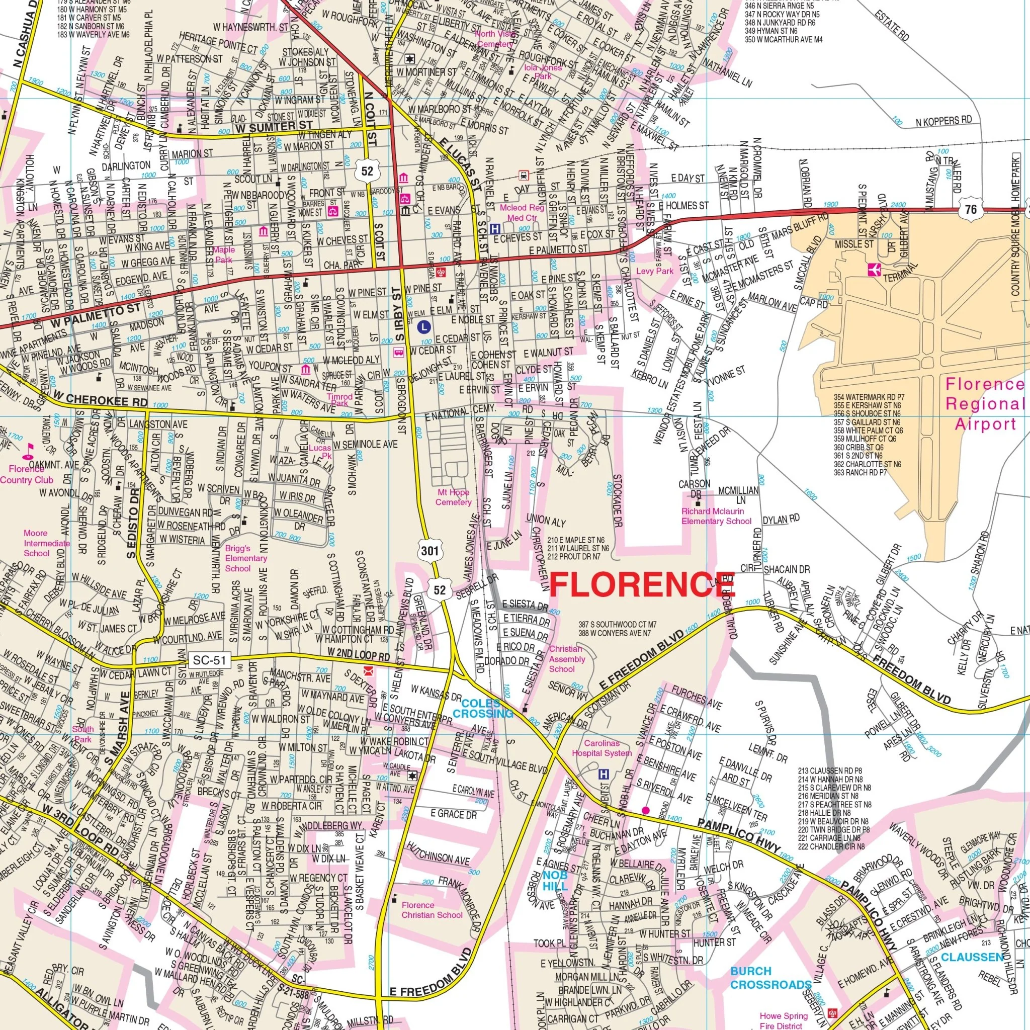
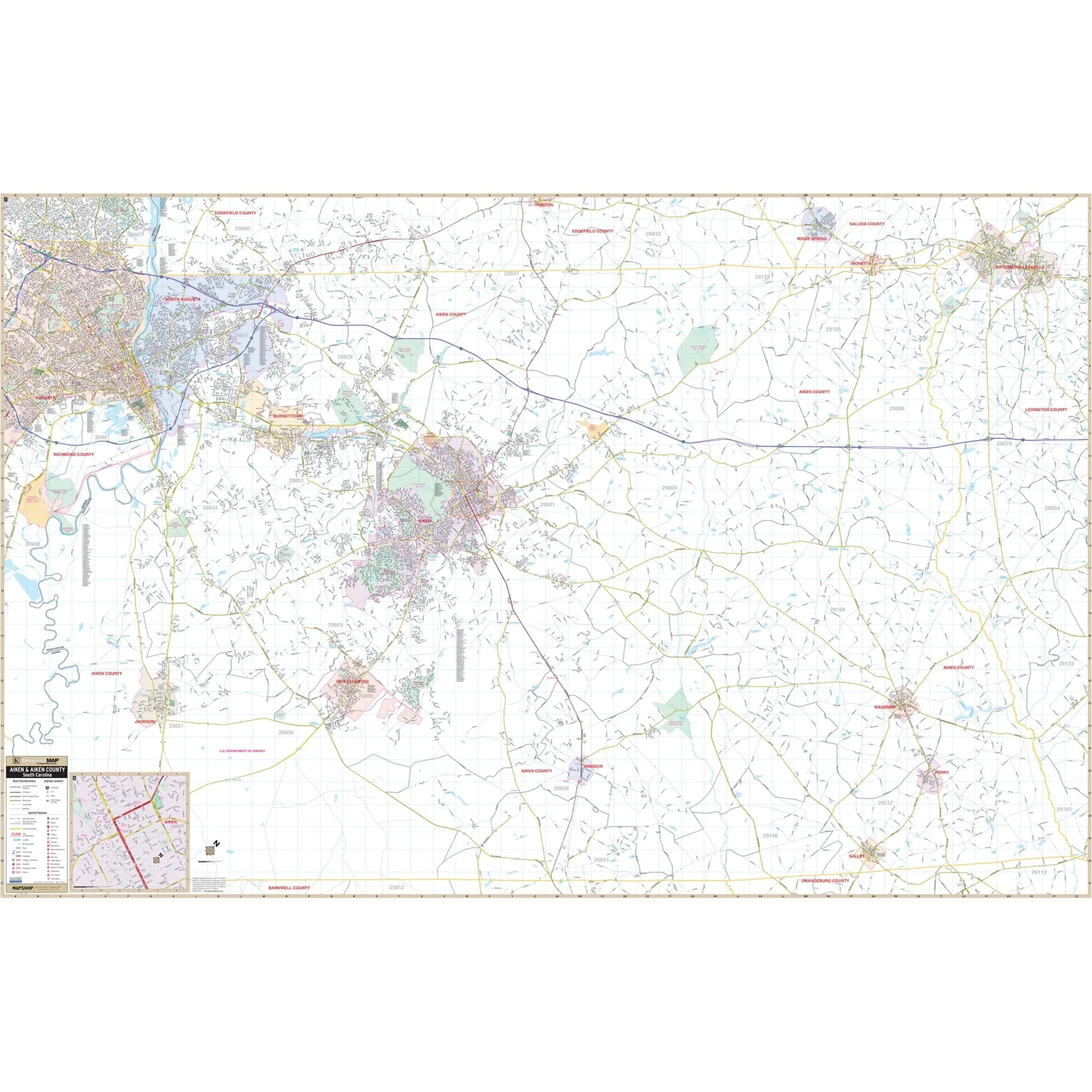
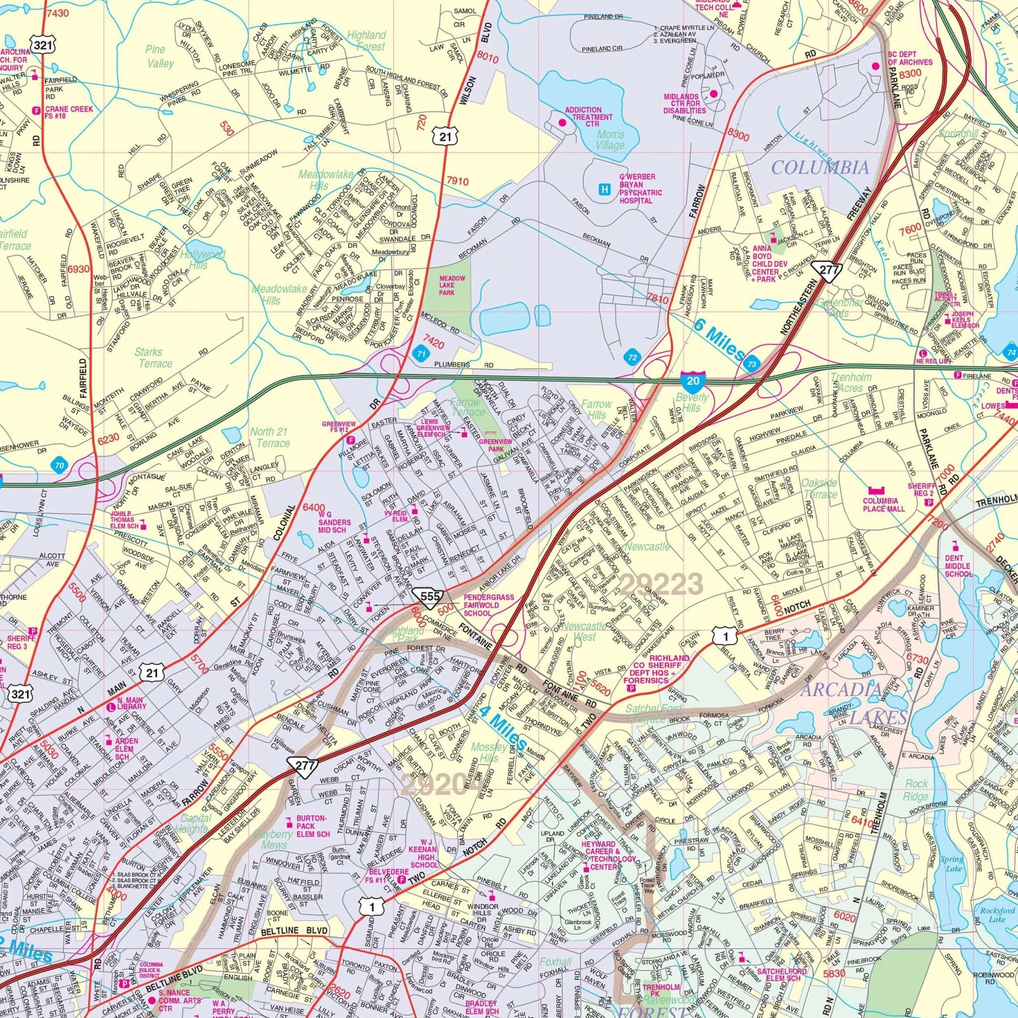
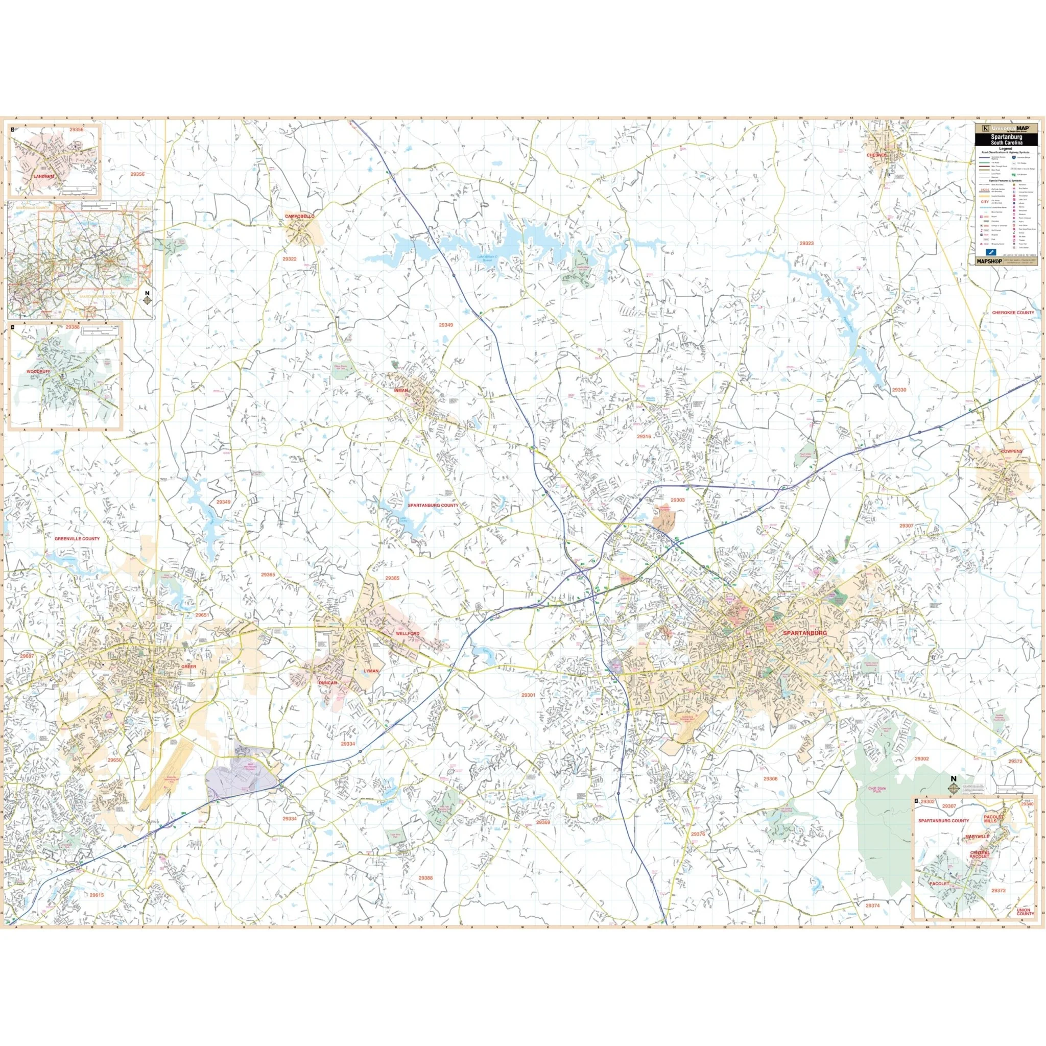
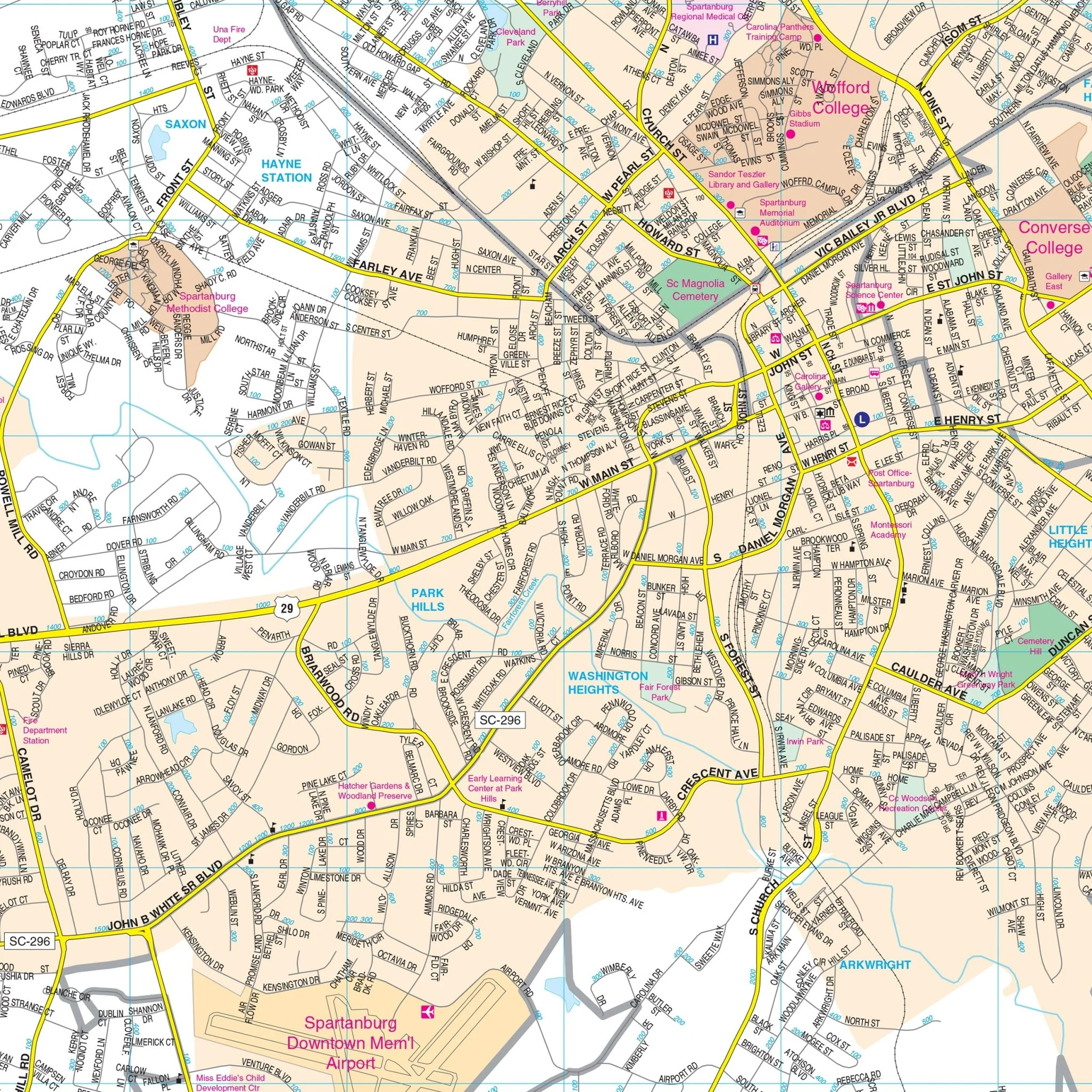
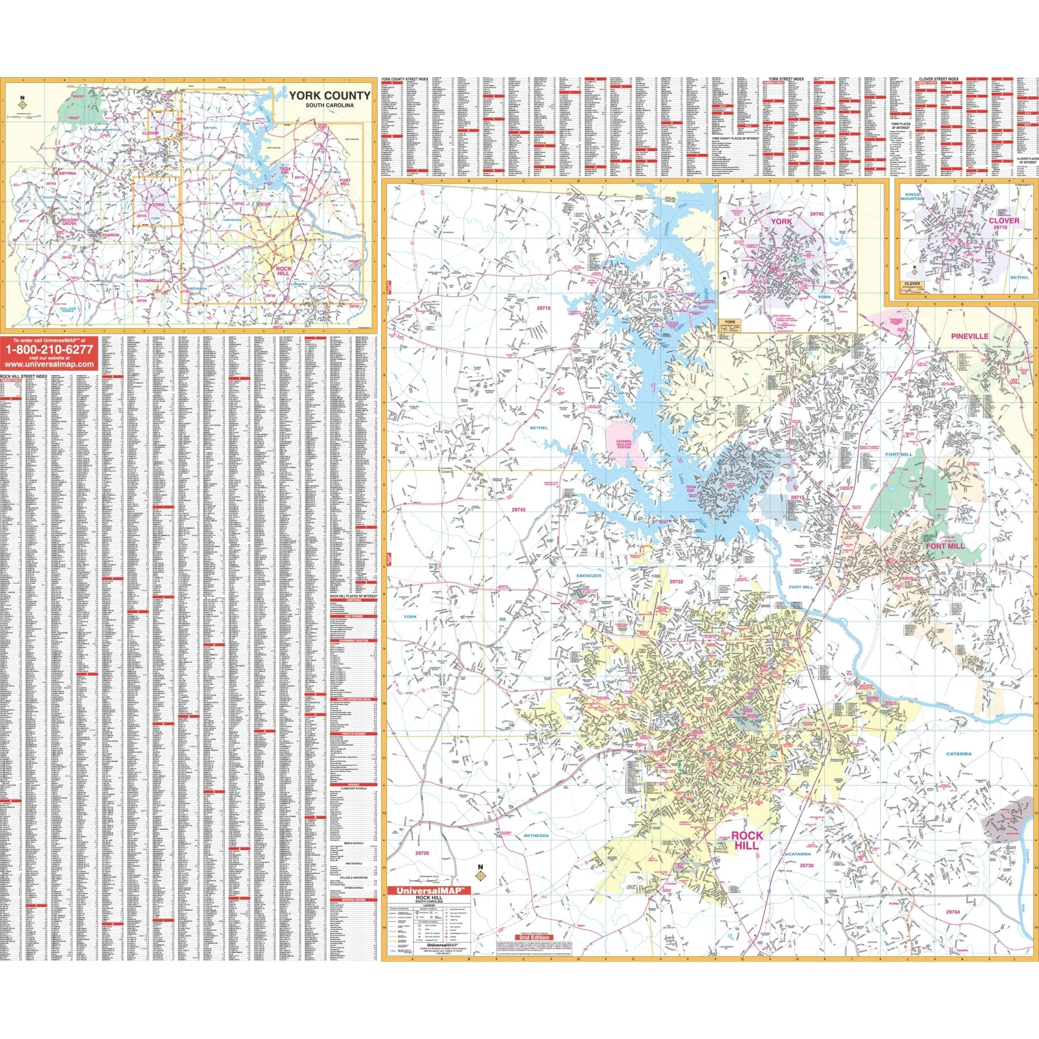
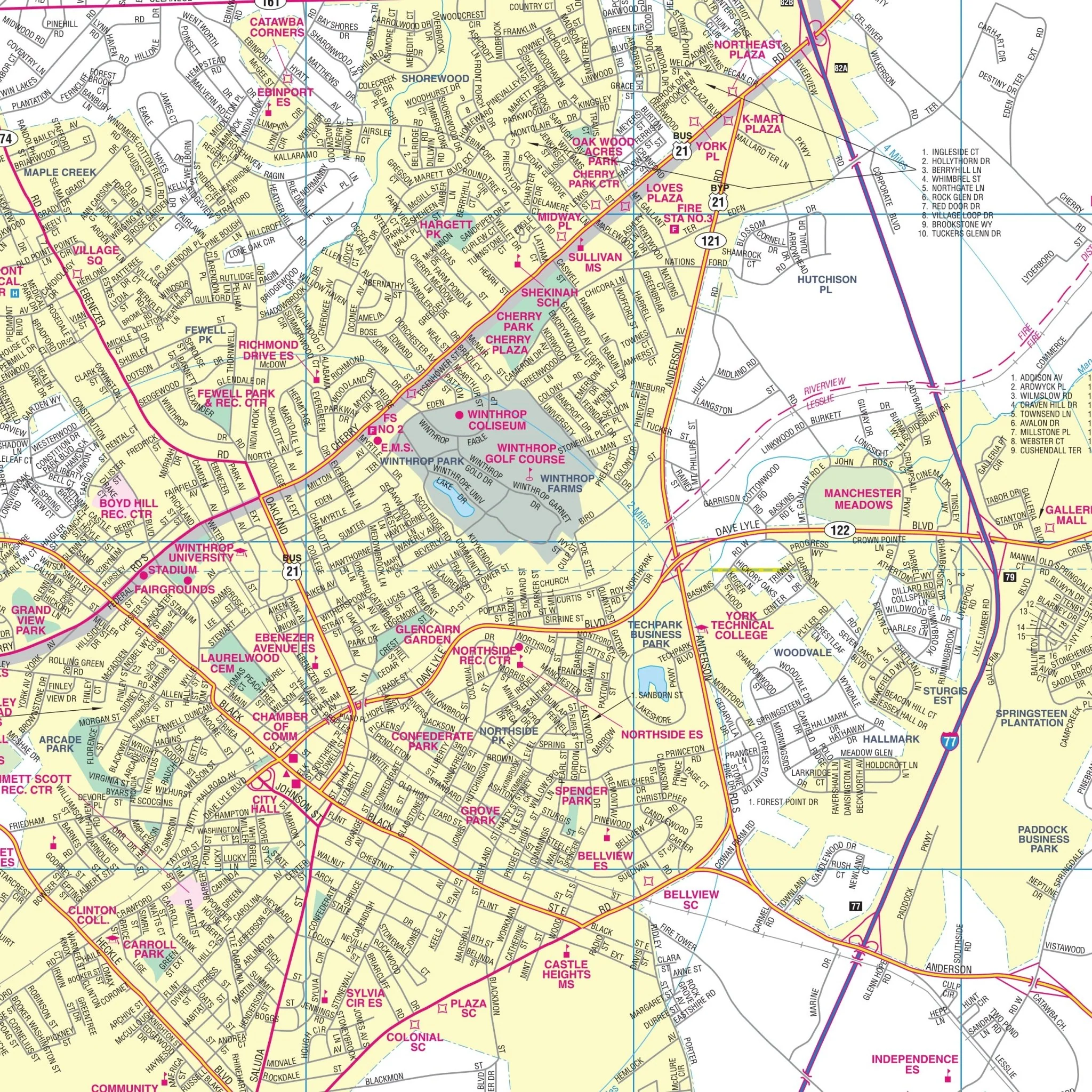
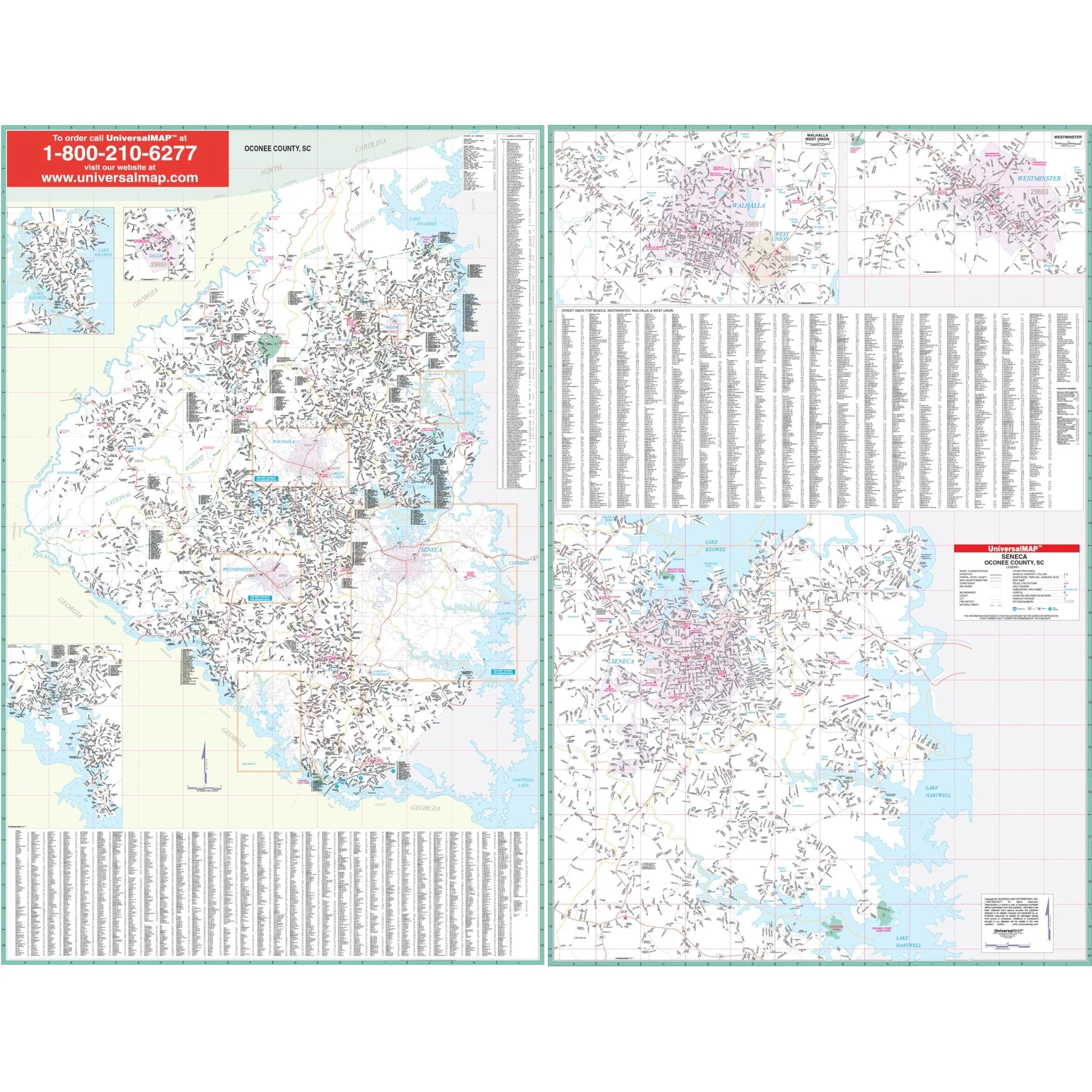
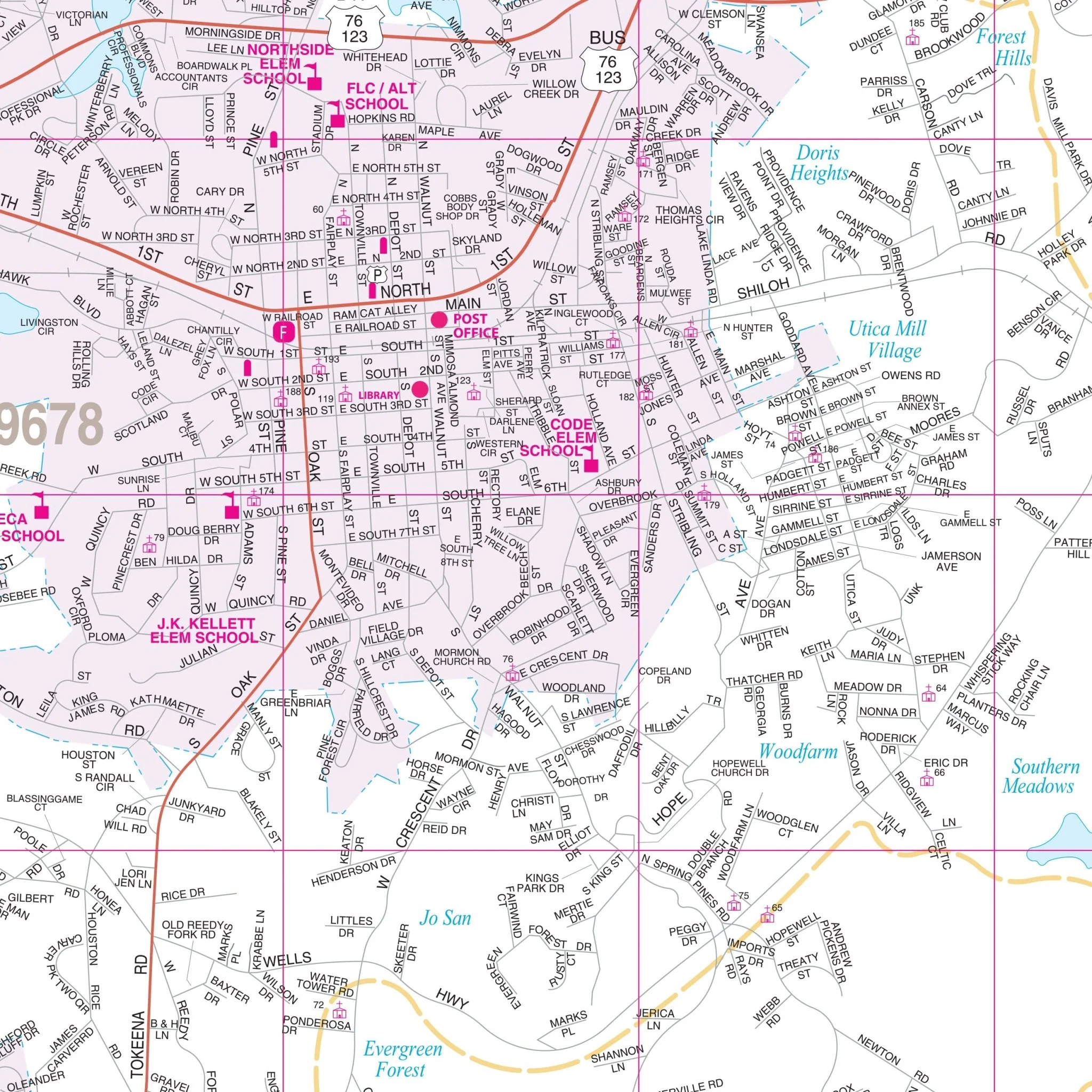
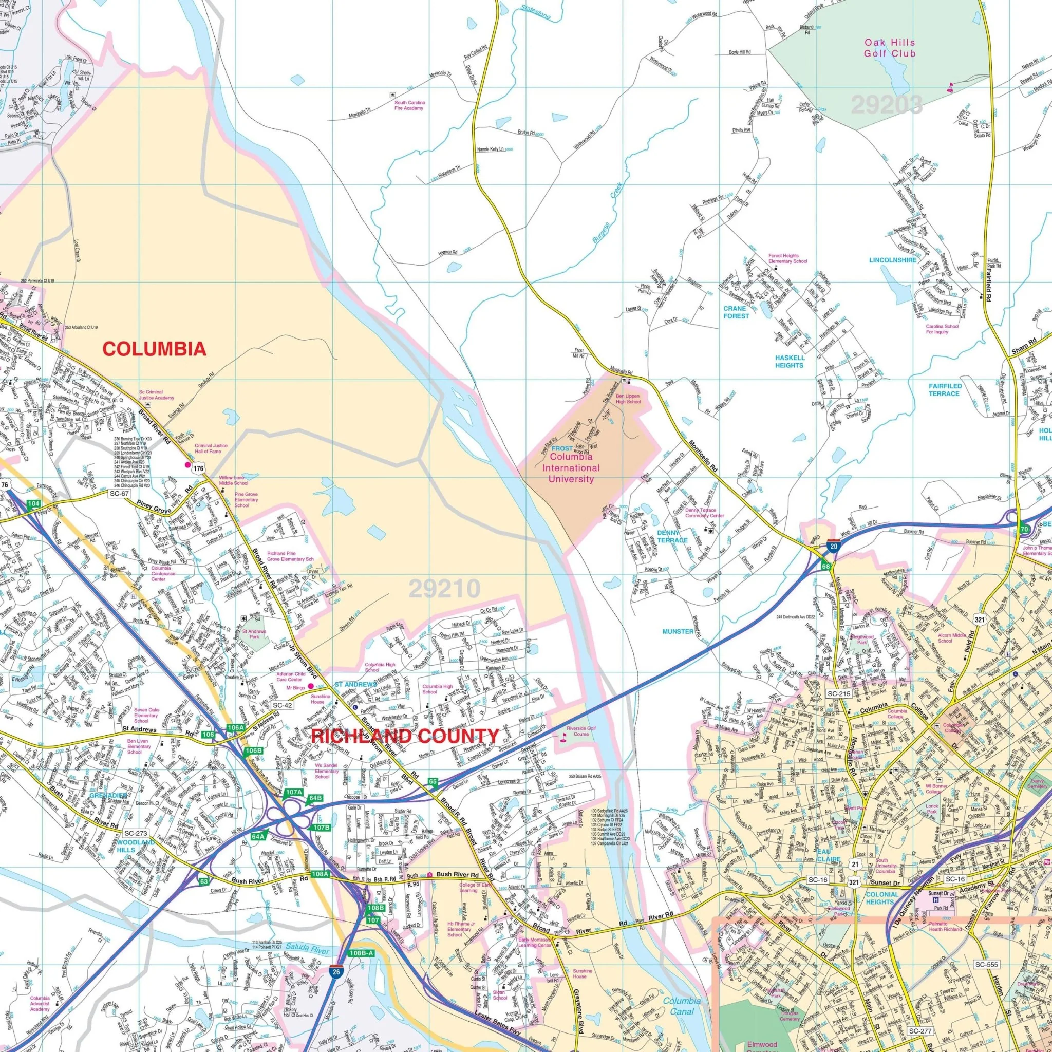
This comprehensive map provides complete street detail and includes all streets, post offices, hospitals, railroads, mileage circles, airports, cemeteries, shopping centers, water features, recreational parks, governmental buildings, fire and police stations, educational facilities, golf courses and country clubs, mileage circles, ZIP codes and boundaries, and points of interest.
Size: 66" x 57"
Published: 2011
Original: $149.99
-70%$149.99
$45.00Product Information
Product Information
Shipping & Returns
Shipping & Returns
Description
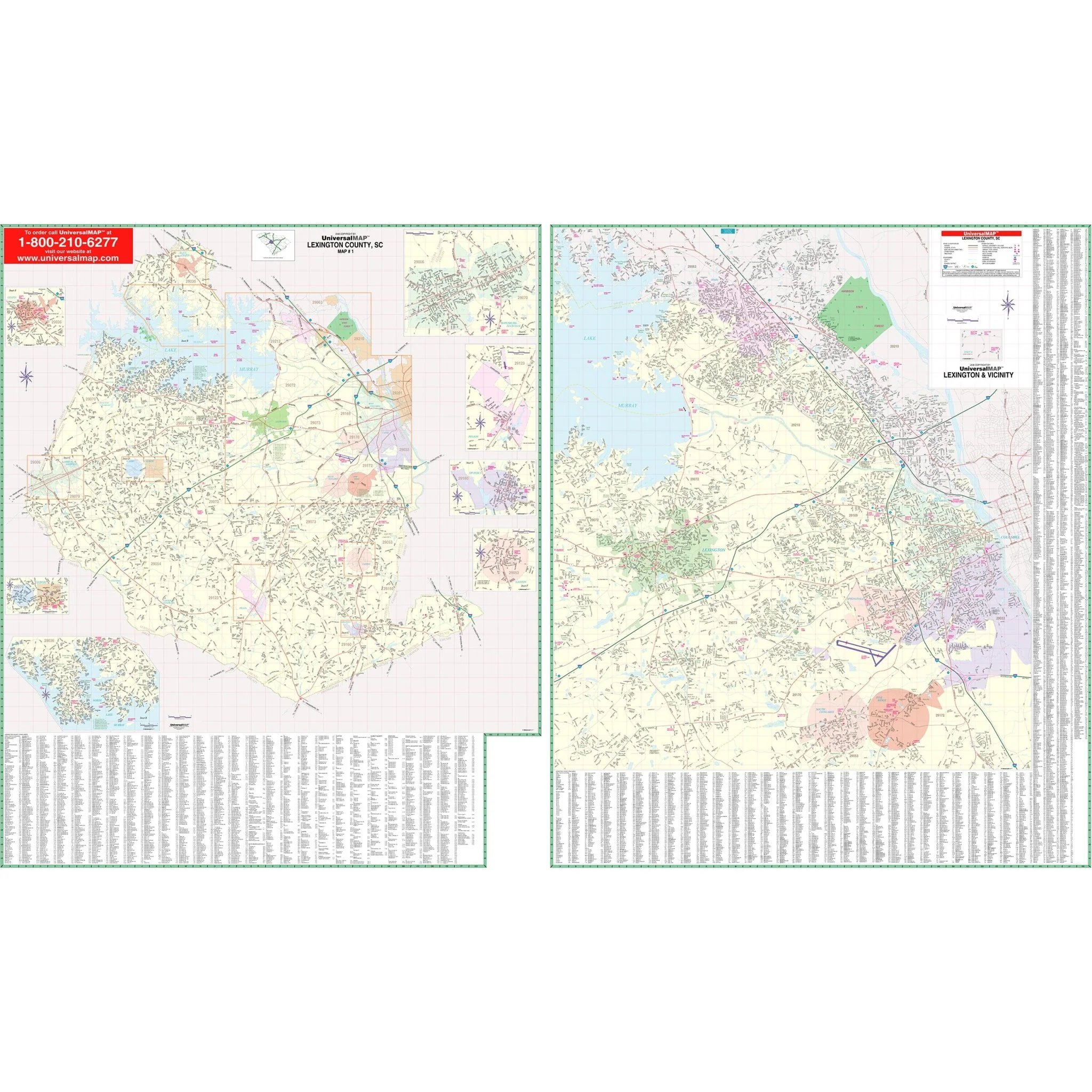
The Columbia-West Columbia, South Carolina Wall Map by Kappa Map Group covers the following area:
- North: City of Blythewood
- South: Cities of South Congaree and Pine Ridge
- East: Members Club at Wood Creek
- West: City of Chapin
This comprehensive map provides complete street detail and includes all streets, post offices, hospitals, railroads, mileage circles, airports, cemeteries, shopping centers, water features, recreational parks, governmental buildings, fire and police stations, educational facilities, golf courses and country clubs, mileage circles, ZIP codes and boundaries, and points of interest.
Size: 66" x 57"
Published: 2011