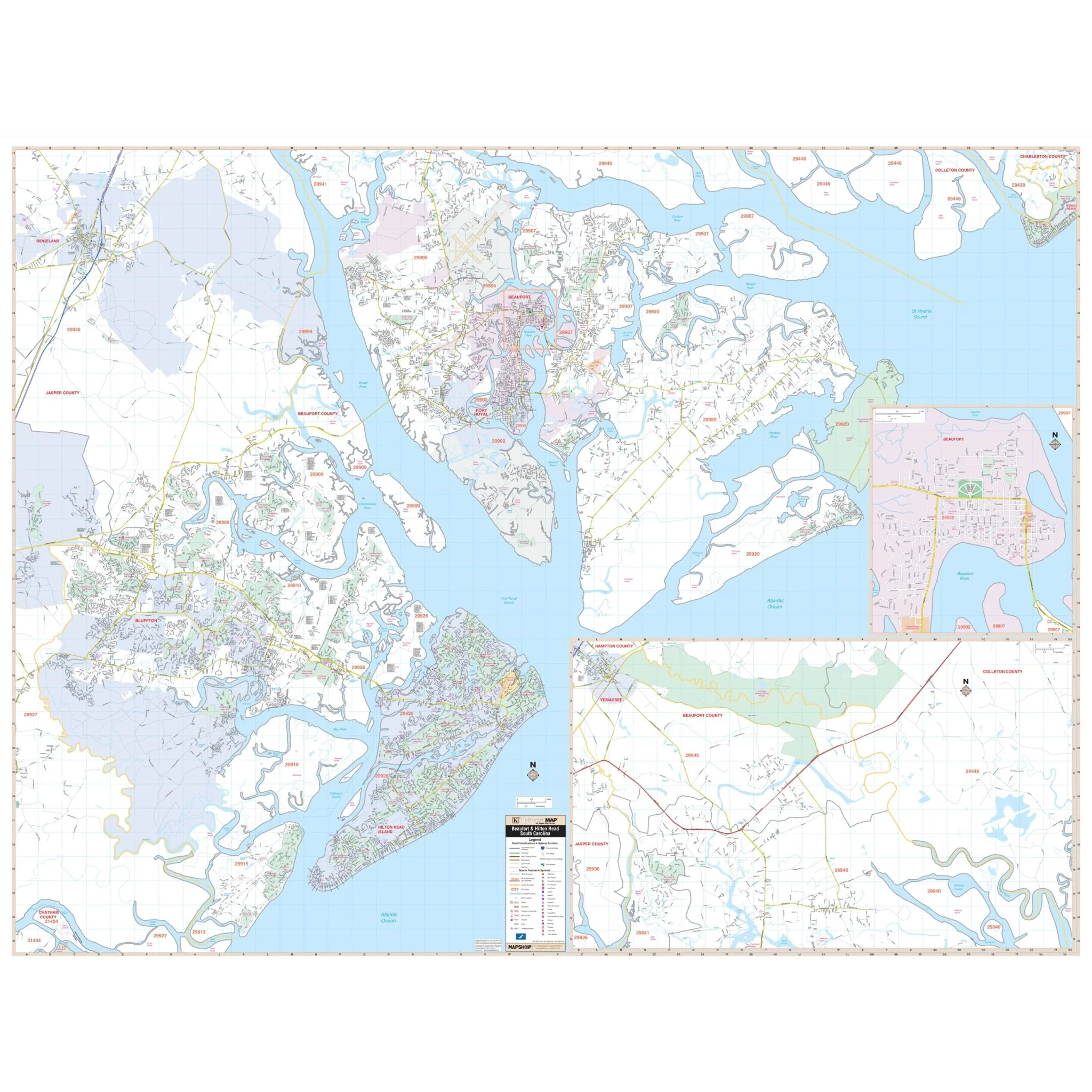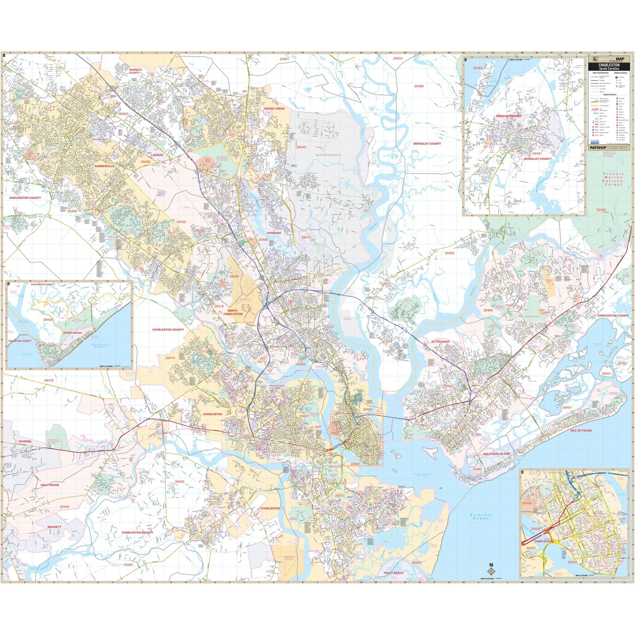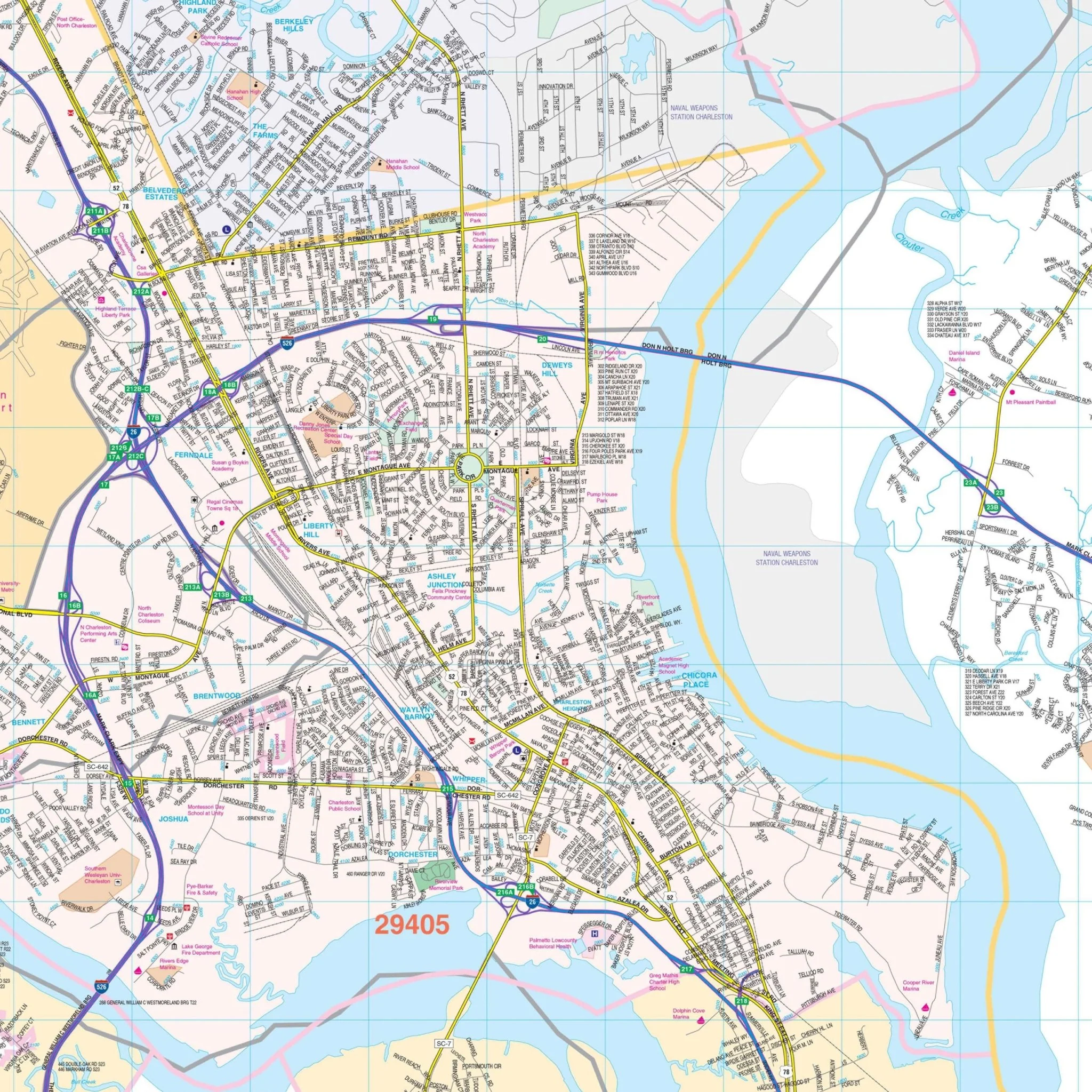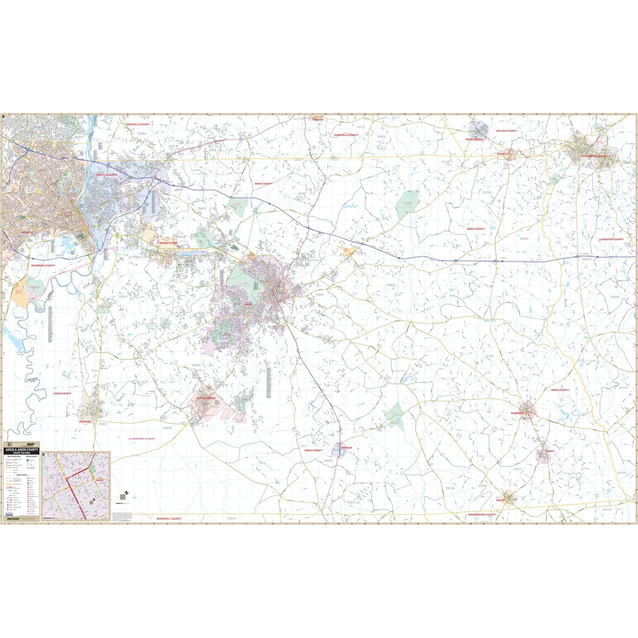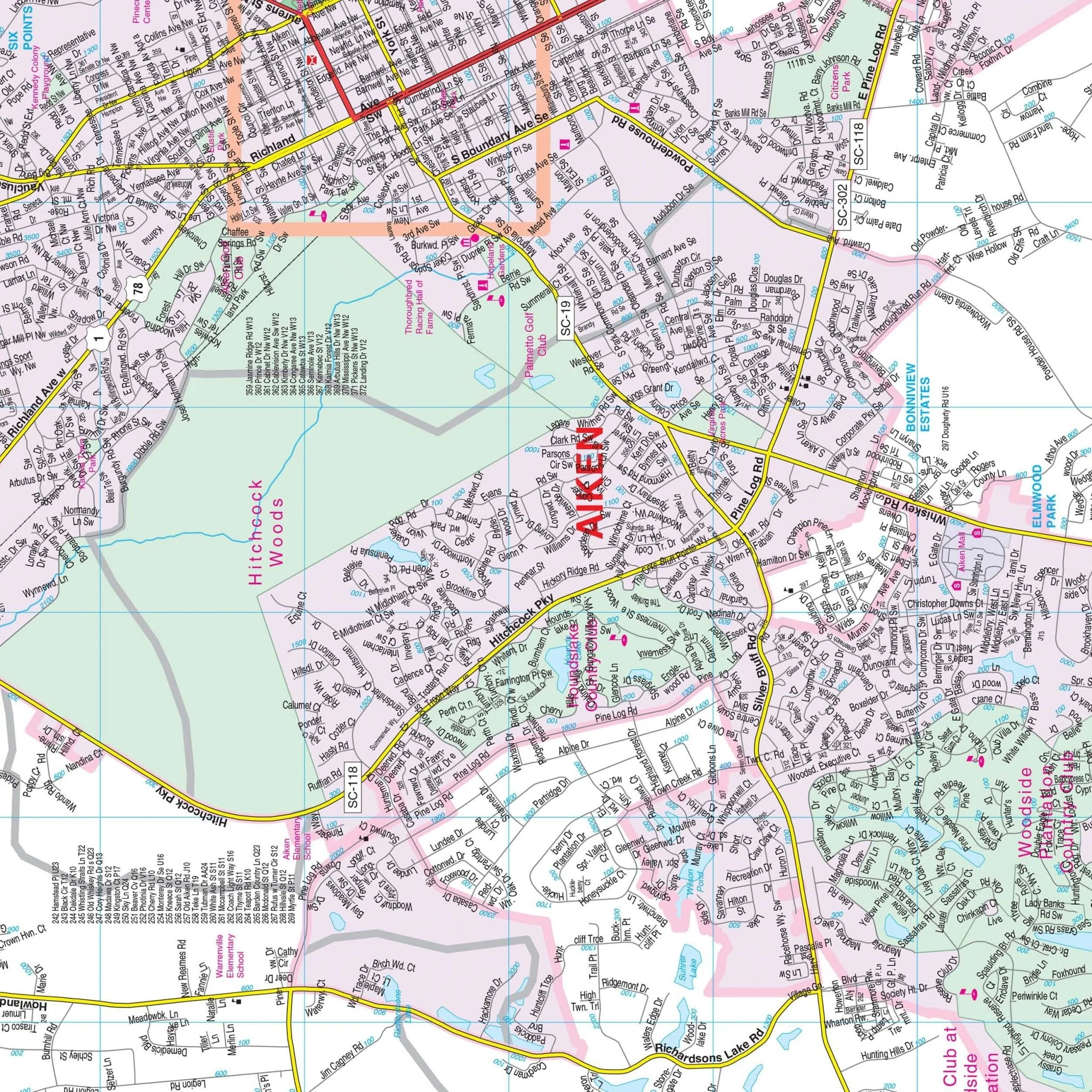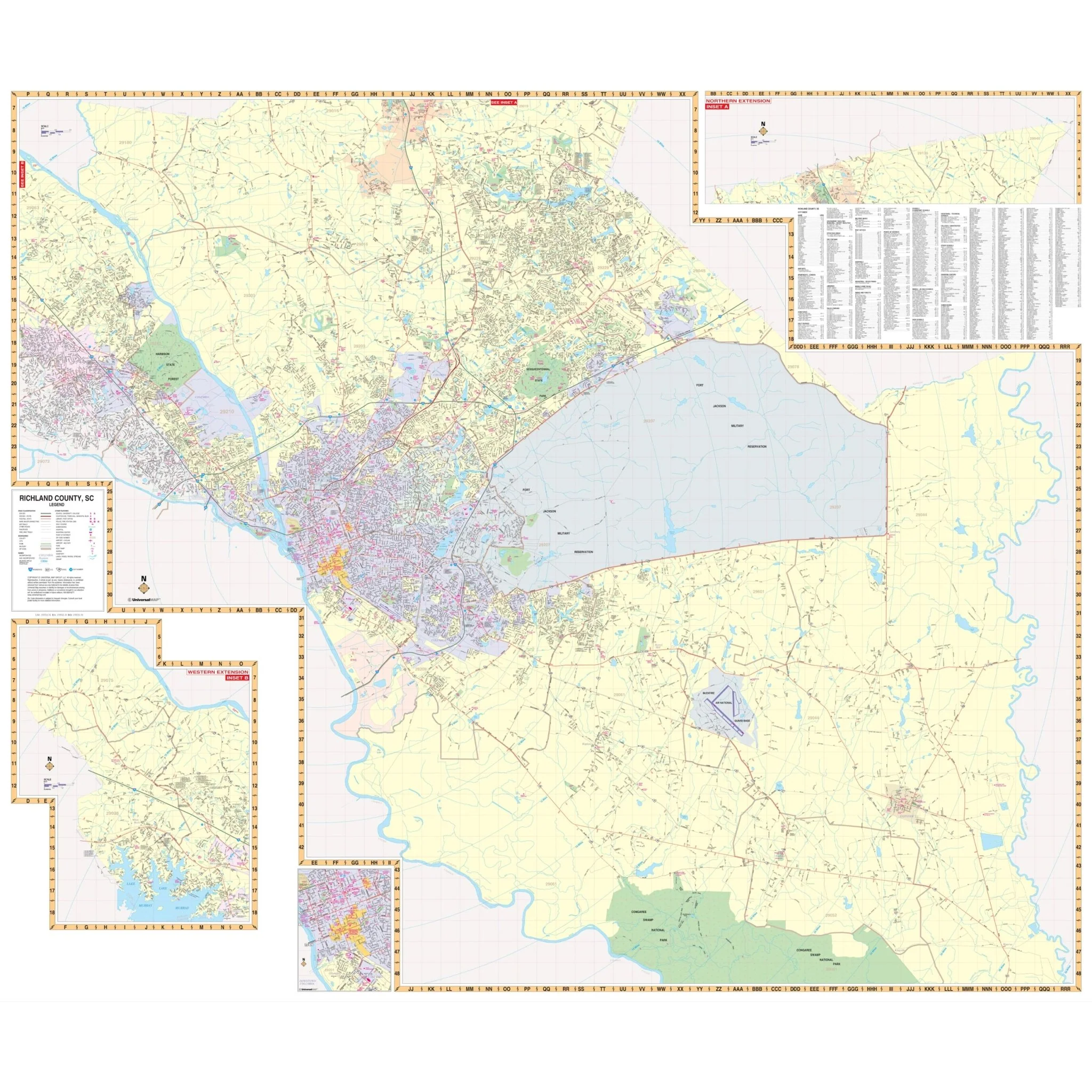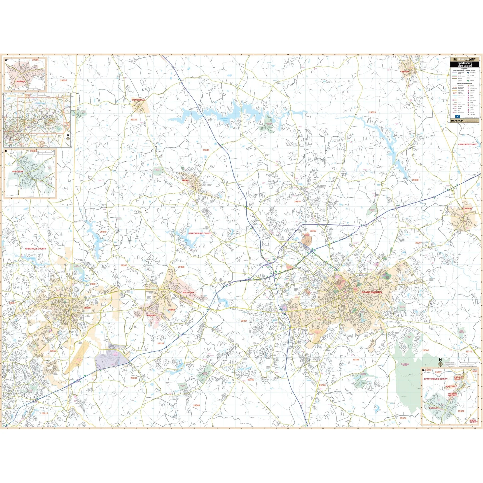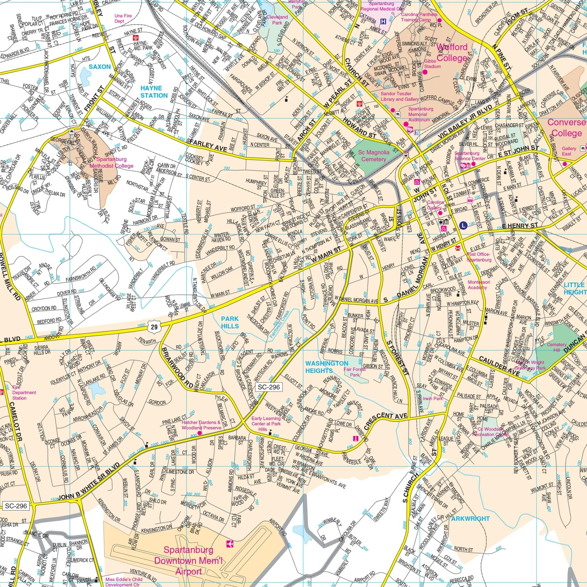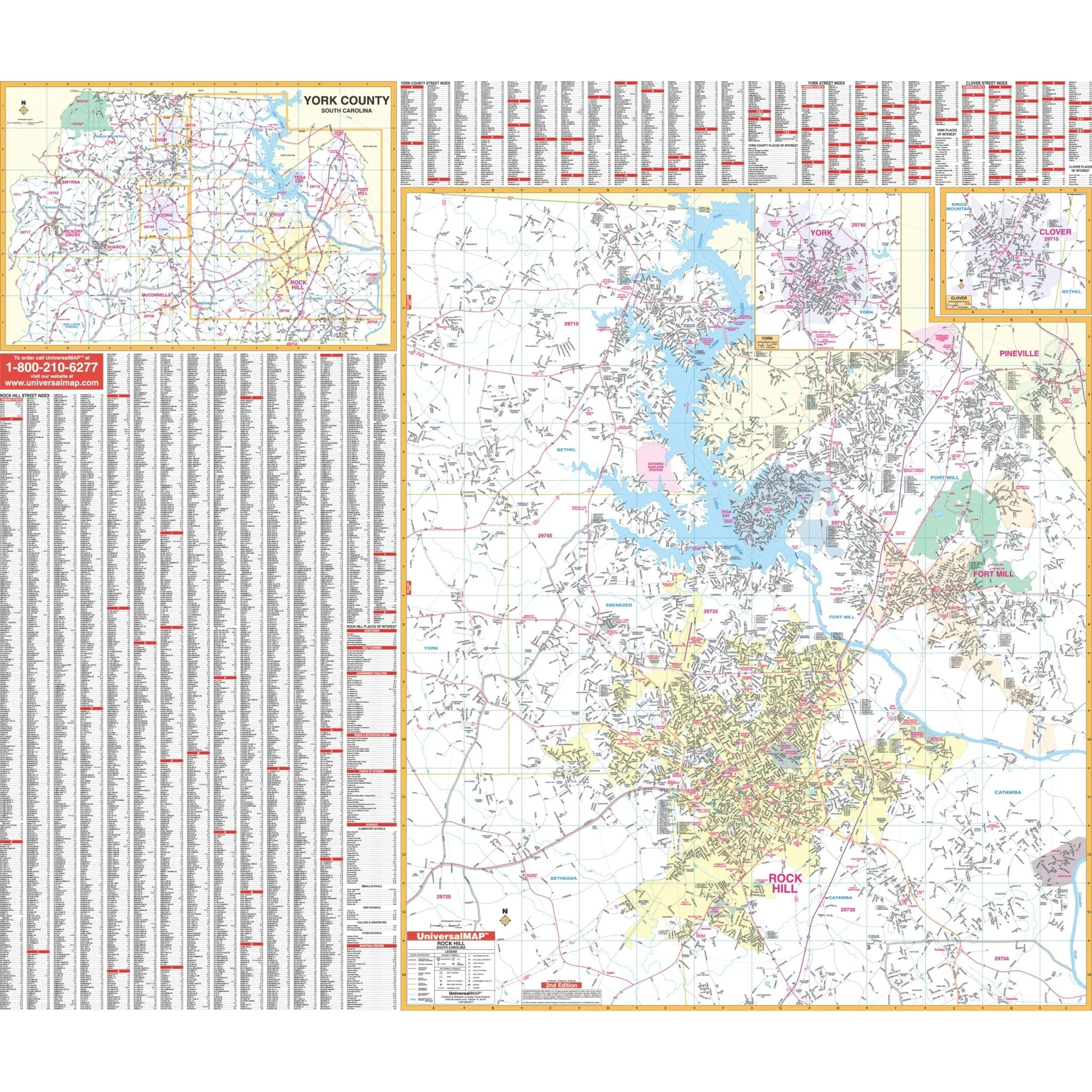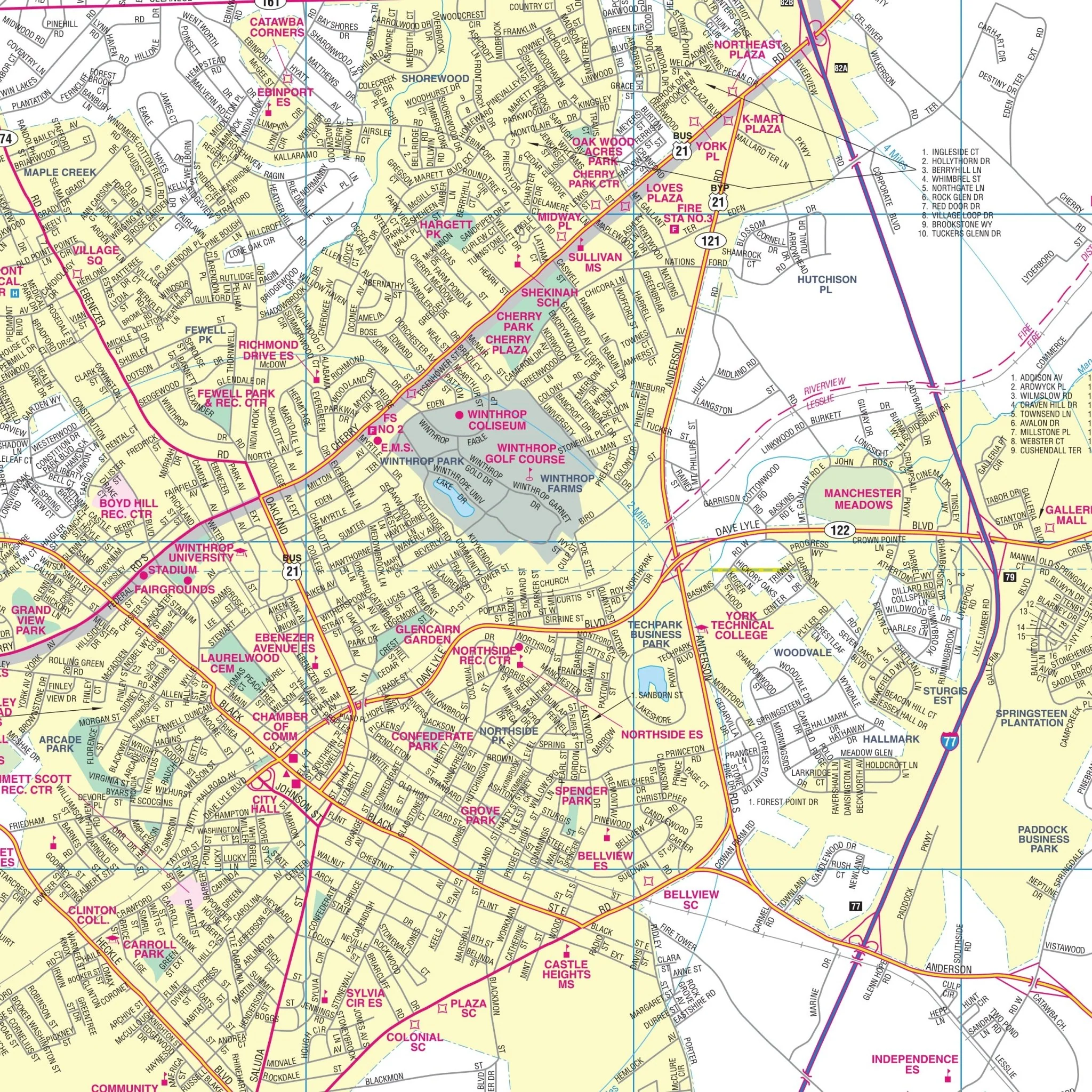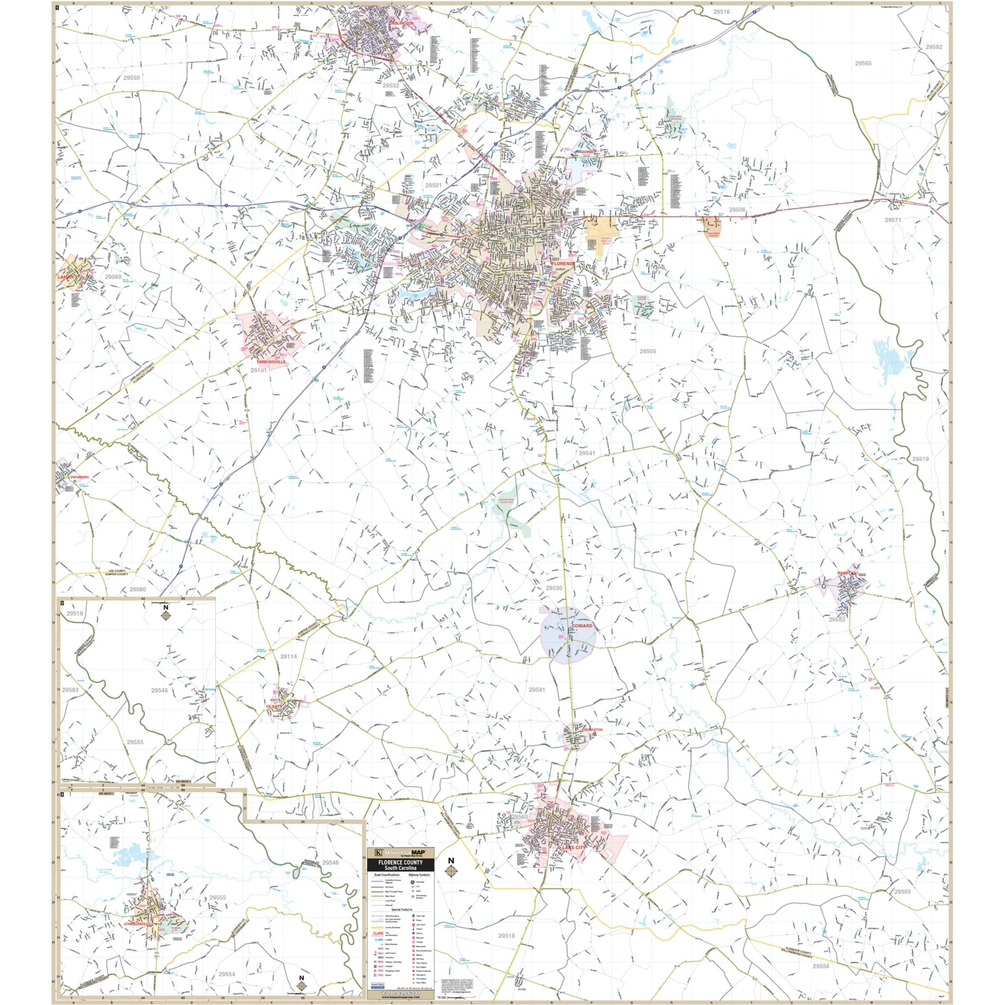
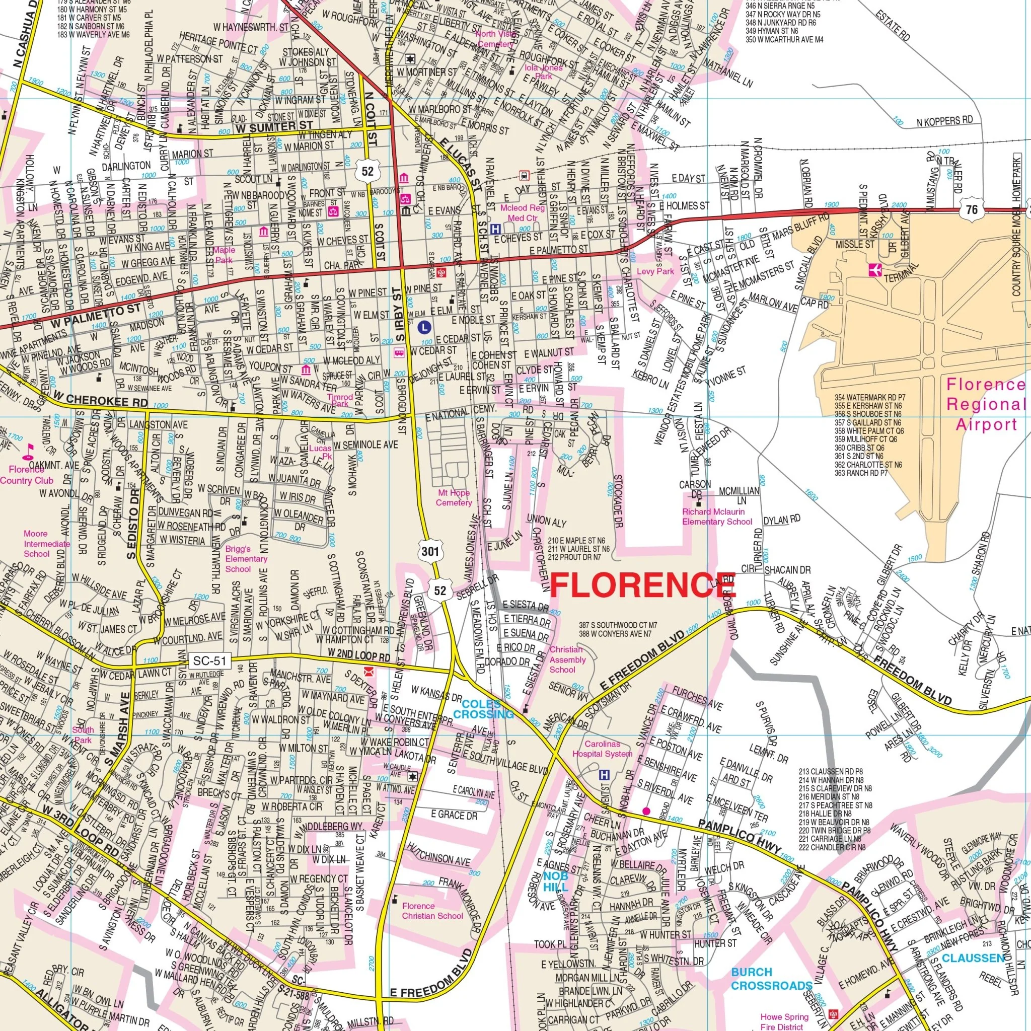


Florence, SC Wall Map
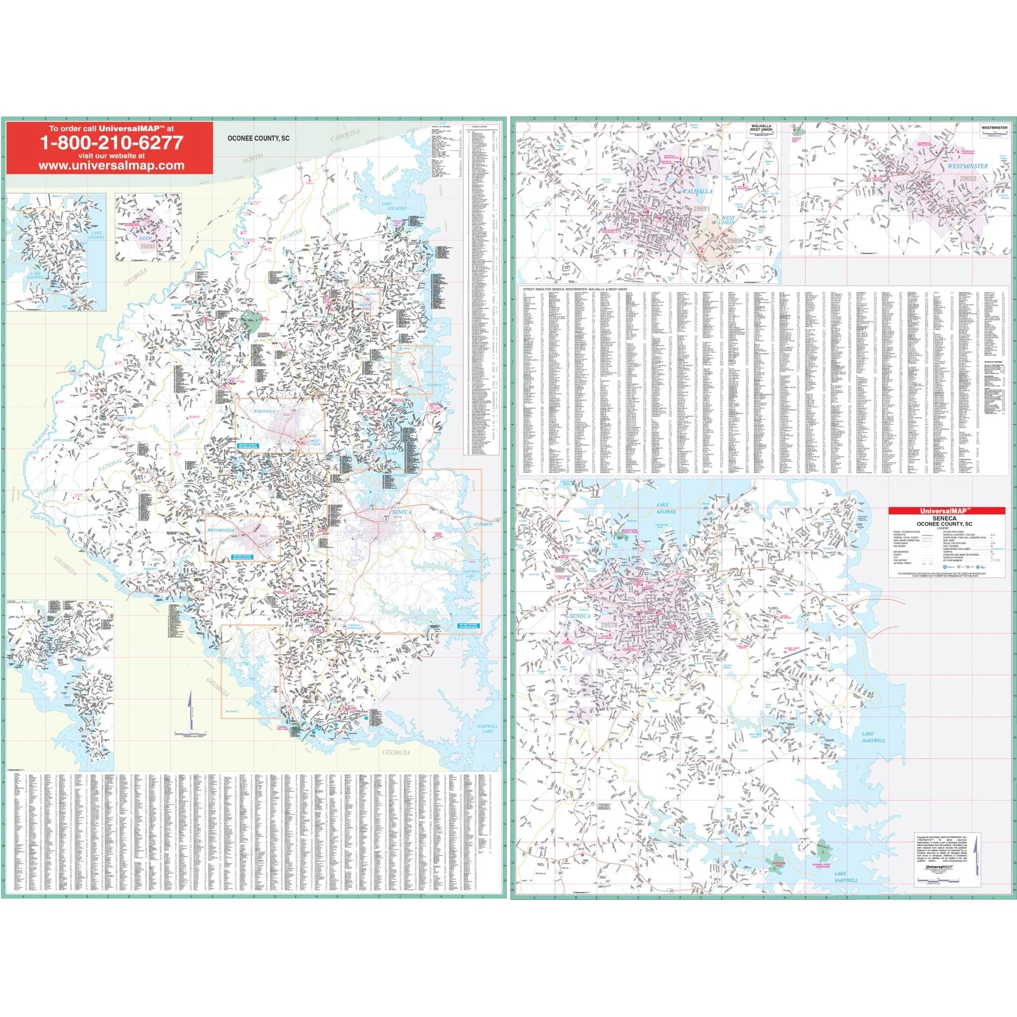
The Florence/Florence County, South Carolina Wall Map by Kappa Map Group covers the following area:
- North: Northern tip of Florence County Line
- South: Florence/Williamsburg County Line
- East: Florence/Marion County Line
- West: Western tip of Florence County to include all of Lamar in Darlington County
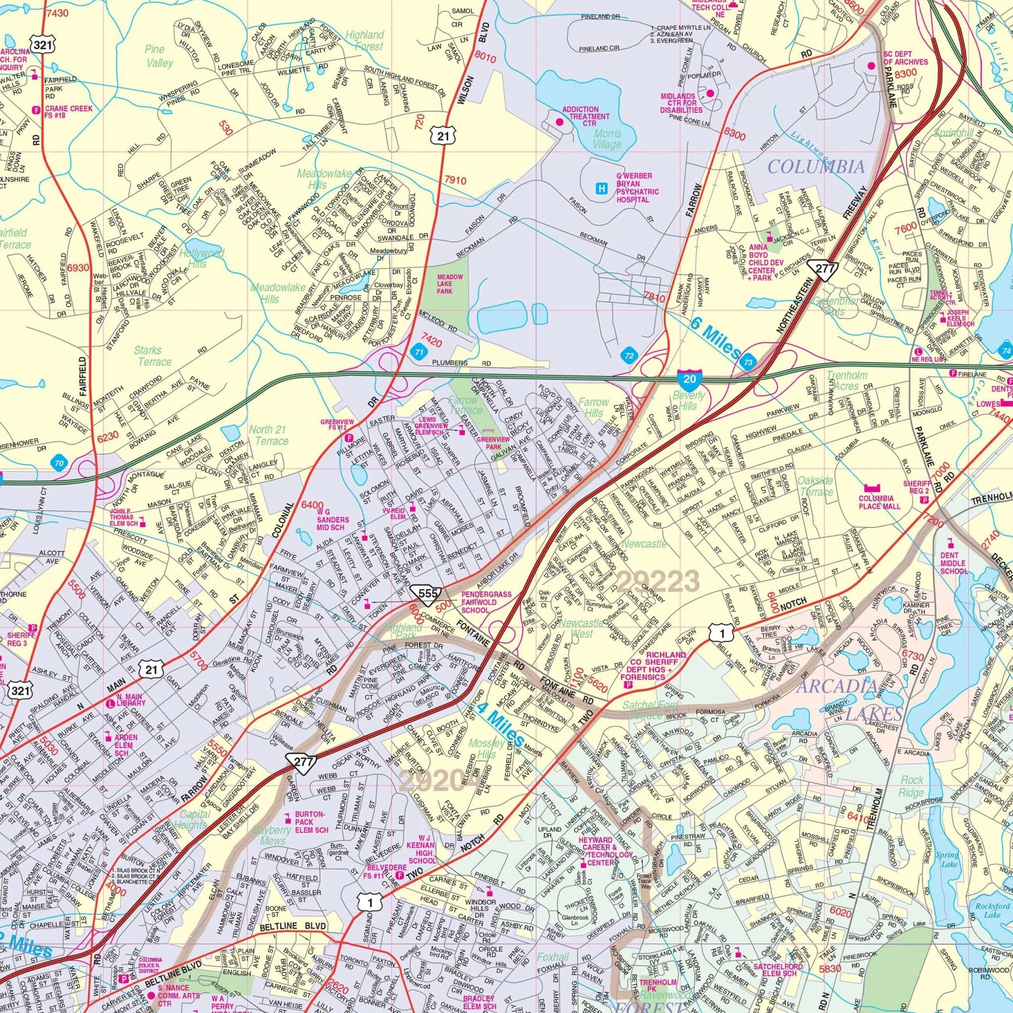
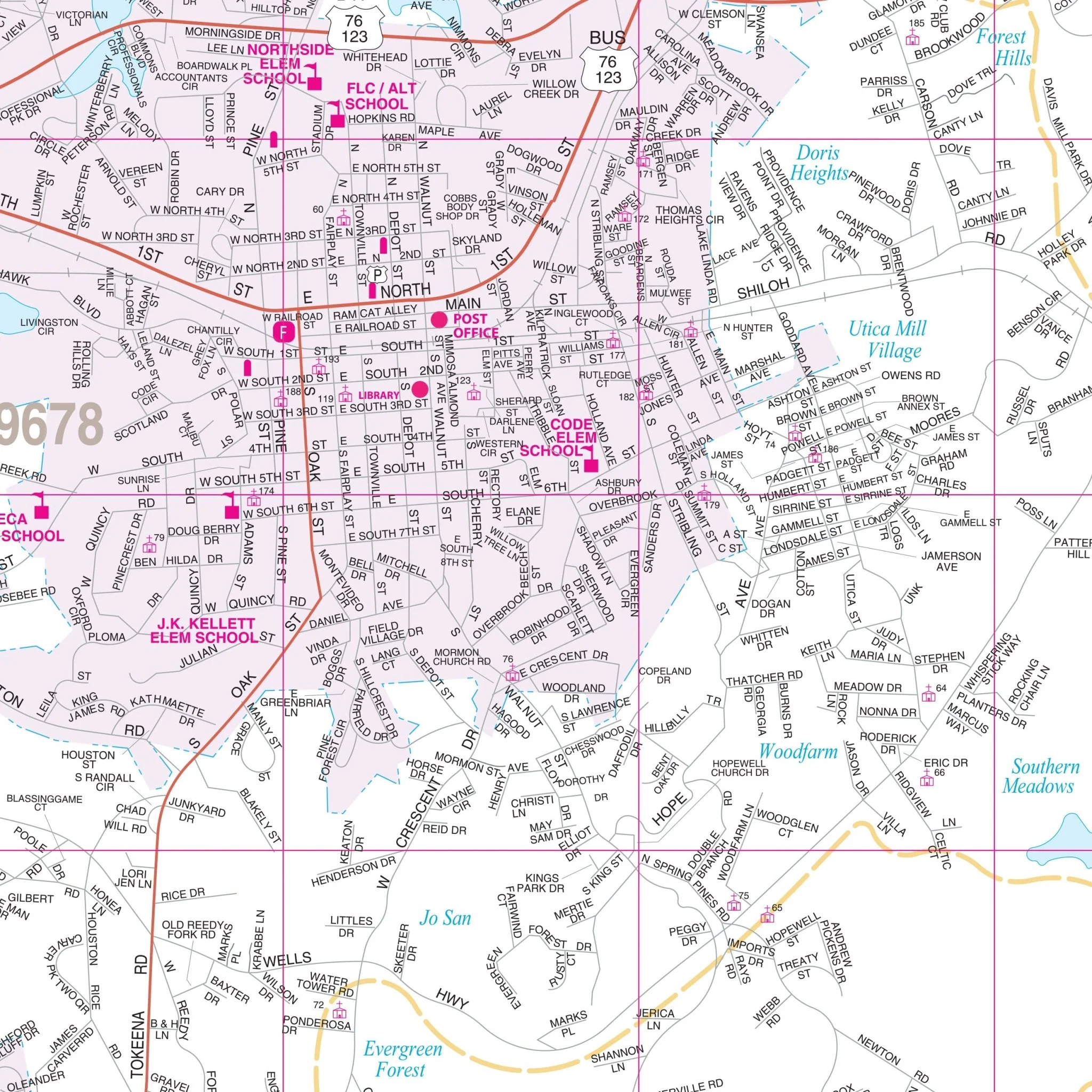
This map provides complete street detail at a scale of 1" = 3,042 feet and includes all streets/highways, government buildings, airports, golf courses/country clubs, railroads, ZIP codes/boundaries, shopping centers, recreational parks, cemeteries, educational institutions, hospitals, post offices, city limits (color coded), fire/police stations, and more.
Size: 57" x 63"
Published: 2013
Original: $139.99
-70%$139.99
$42.00Product Information
Product Information
Shipping & Returns
Shipping & Returns
Description
The Florence/Florence County, South Carolina Wall Map by Kappa Map Group covers the following area:
- North: Northern tip of Florence County Line
- South: Florence/Williamsburg County Line
- East: Florence/Marion County Line
- West: Western tip of Florence County to include all of Lamar in Darlington County
This map provides complete street detail at a scale of 1" = 3,042 feet and includes all streets/highways, government buildings, airports, golf courses/country clubs, railroads, ZIP codes/boundaries, shopping centers, recreational parks, cemeteries, educational institutions, hospitals, post offices, city limits (color coded), fire/police stations, and more.
Size: 57" x 63"
Published: 2013