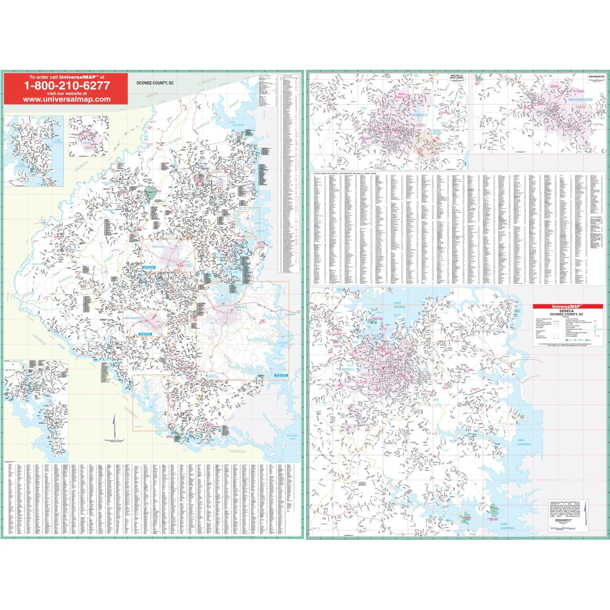


Oconee, SC Wall Map
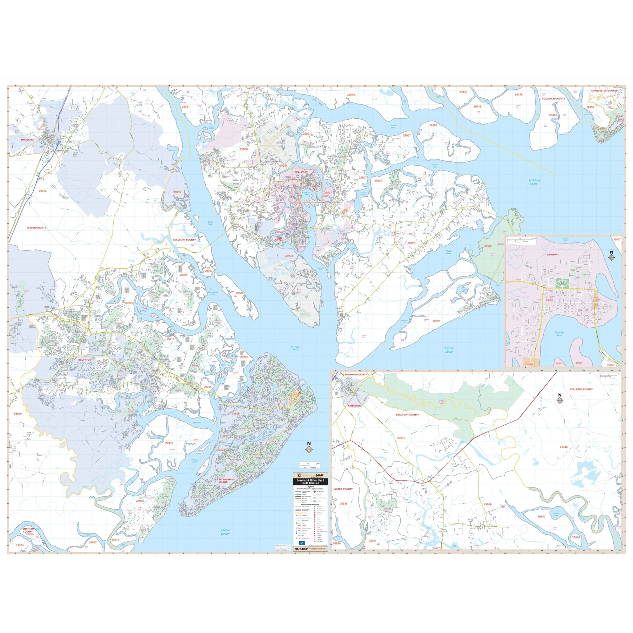
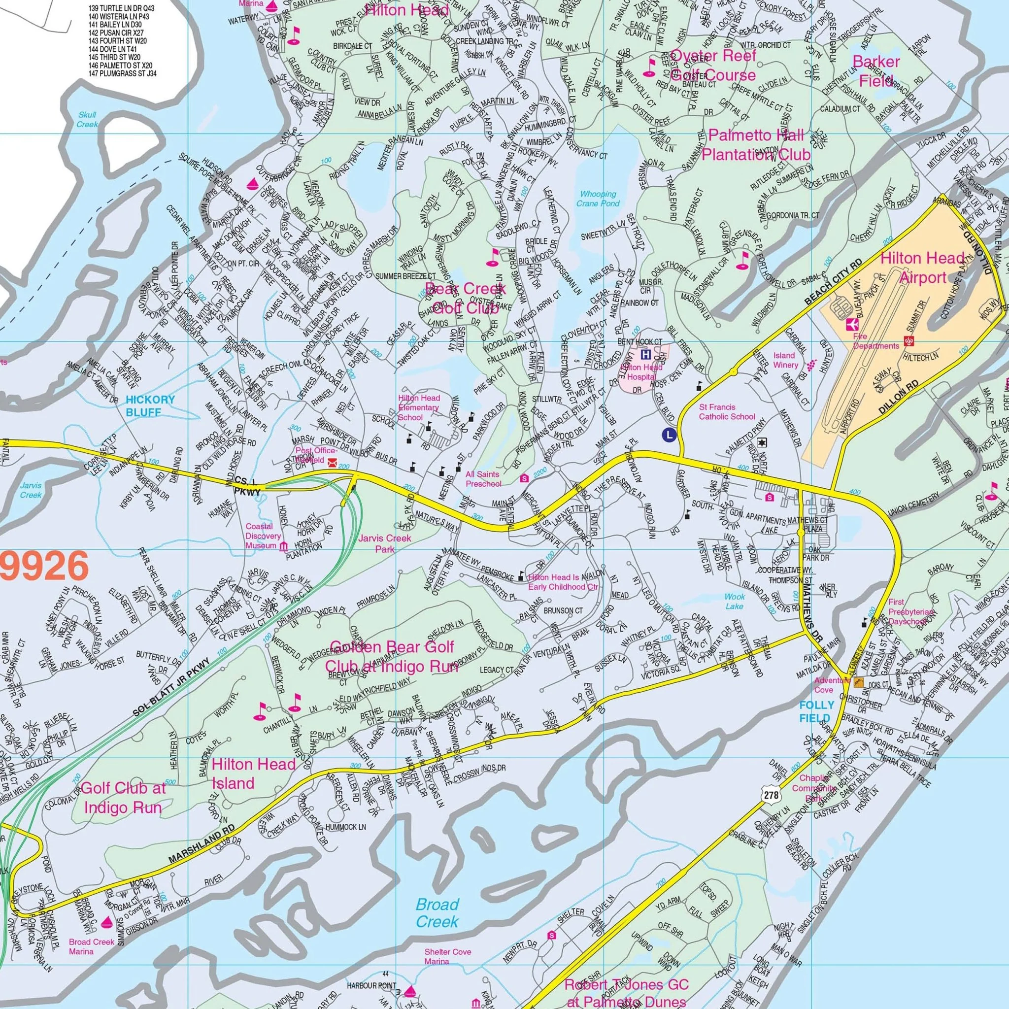
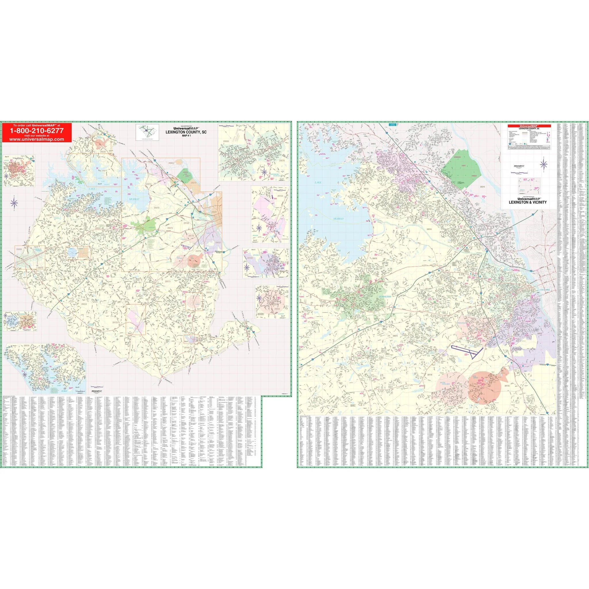
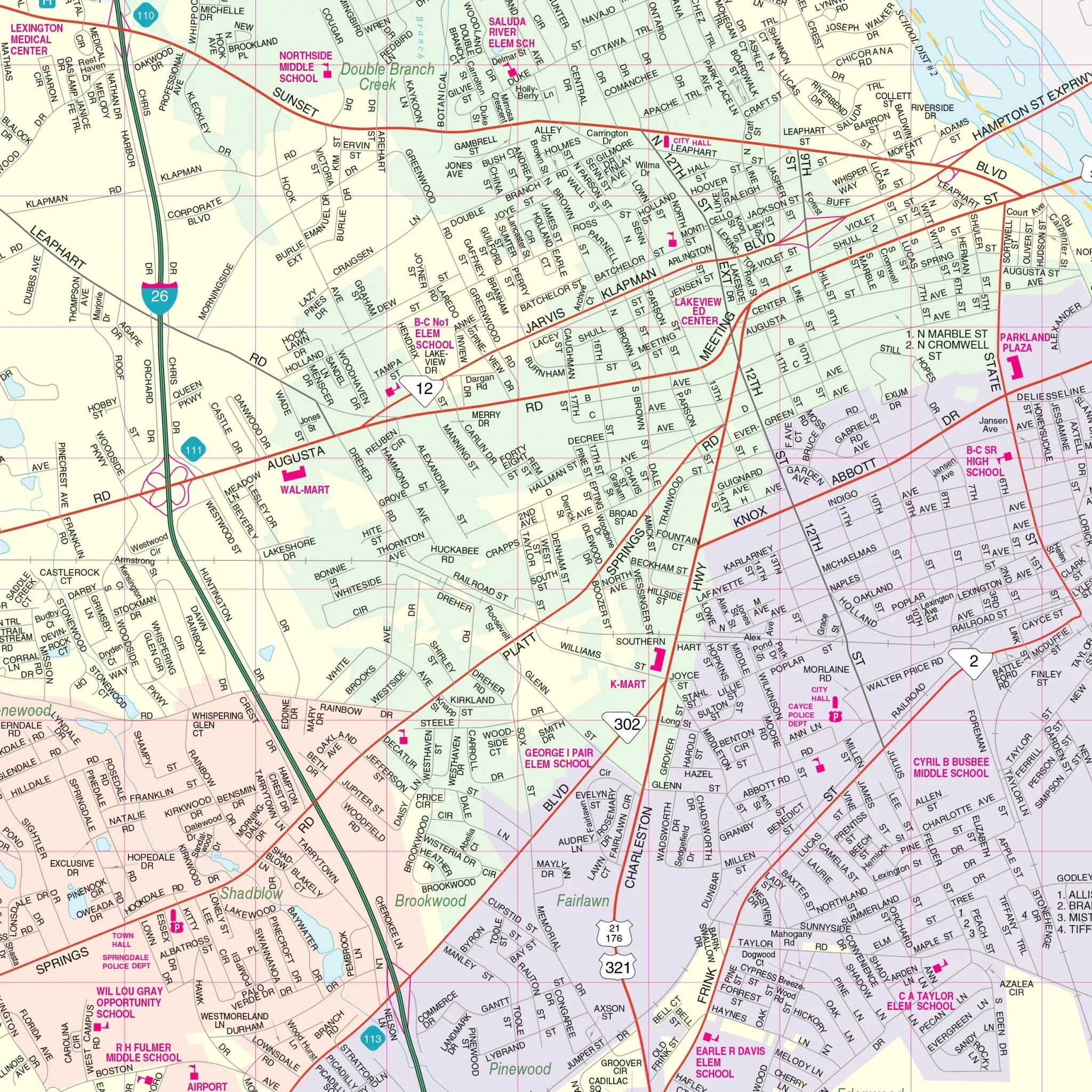
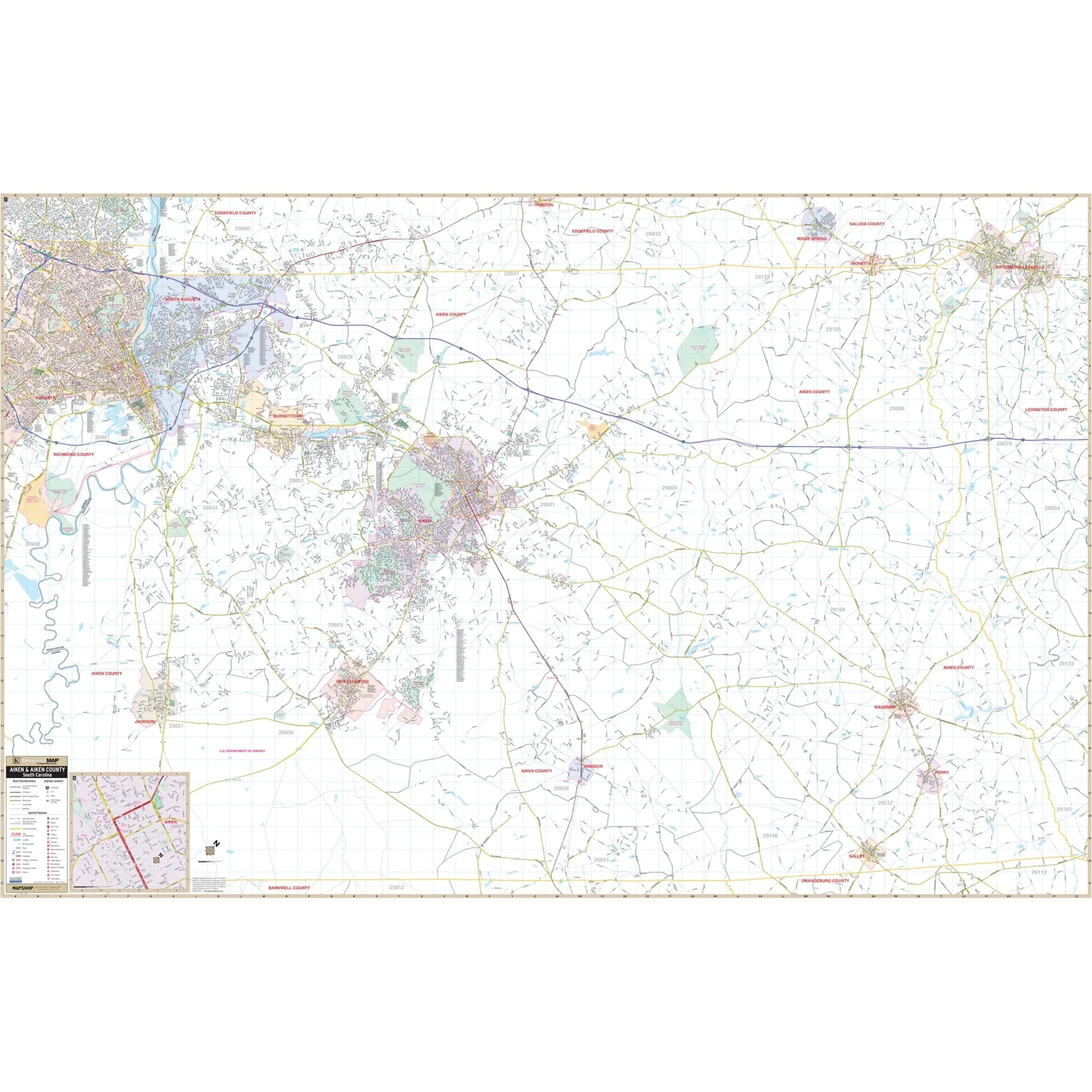
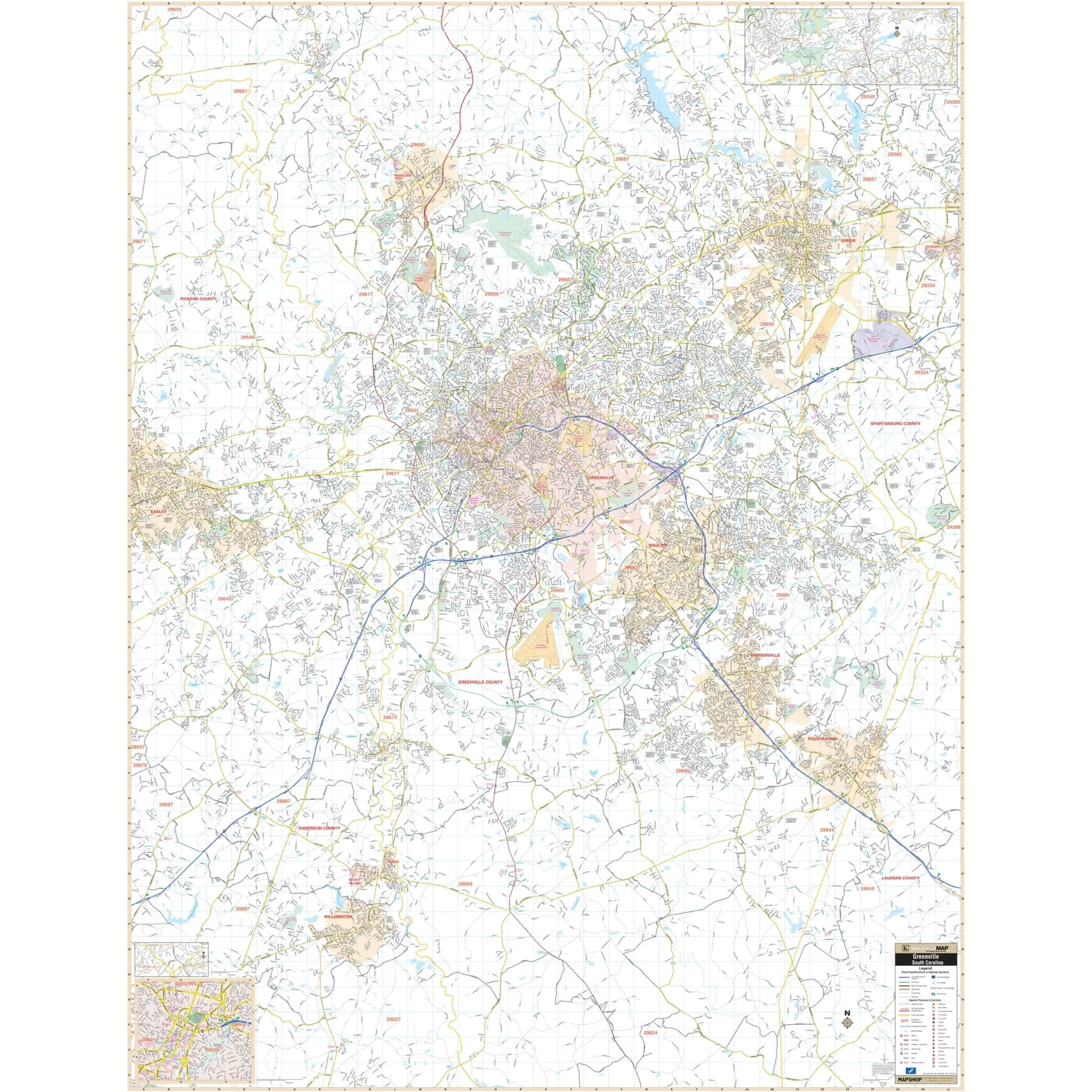
The Seneca and Oconee County, South Carolina Wall Map by Kappa Map Group provides comprehensive street detail and indexing for cities and towns. The area of coverage is divided into two sections:
- Section I: Encompasses all of Oconee County, with the following boundaries:
- North: to the North Carolina State line
- South: to the Georgia State line
- East: to the Pickens/Oconee County line
- West: to the Chattooga river
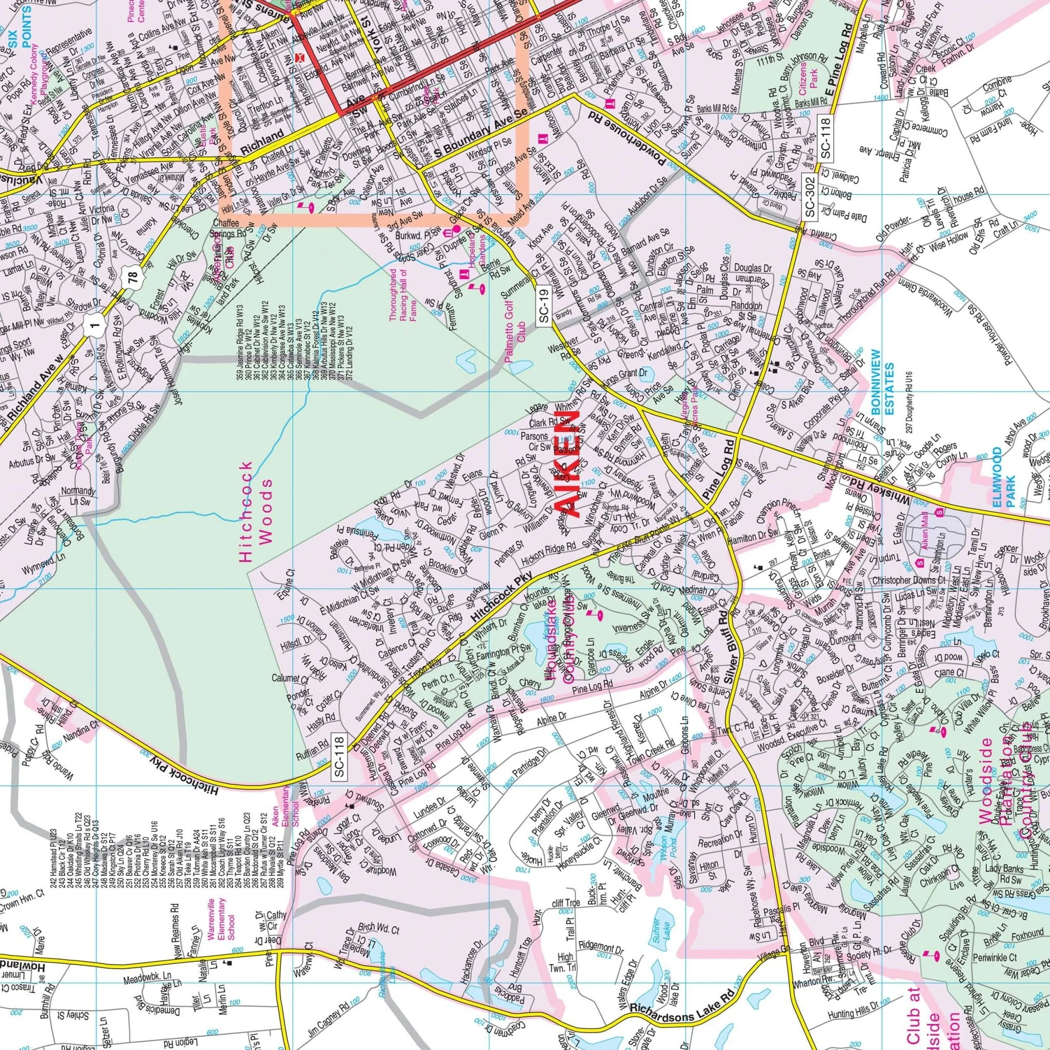
- Section II: Includes inset maps of the cities of Seneca, Salem, Walhalla/West Union, and Westminster, with a scale of 1" = 1,760 feet.
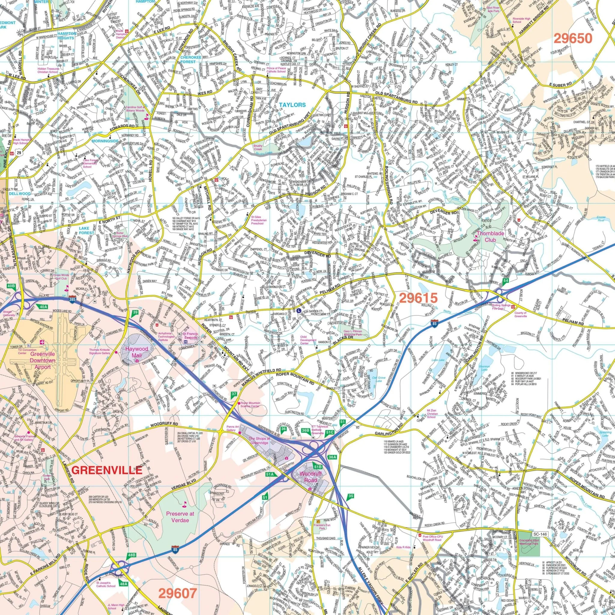
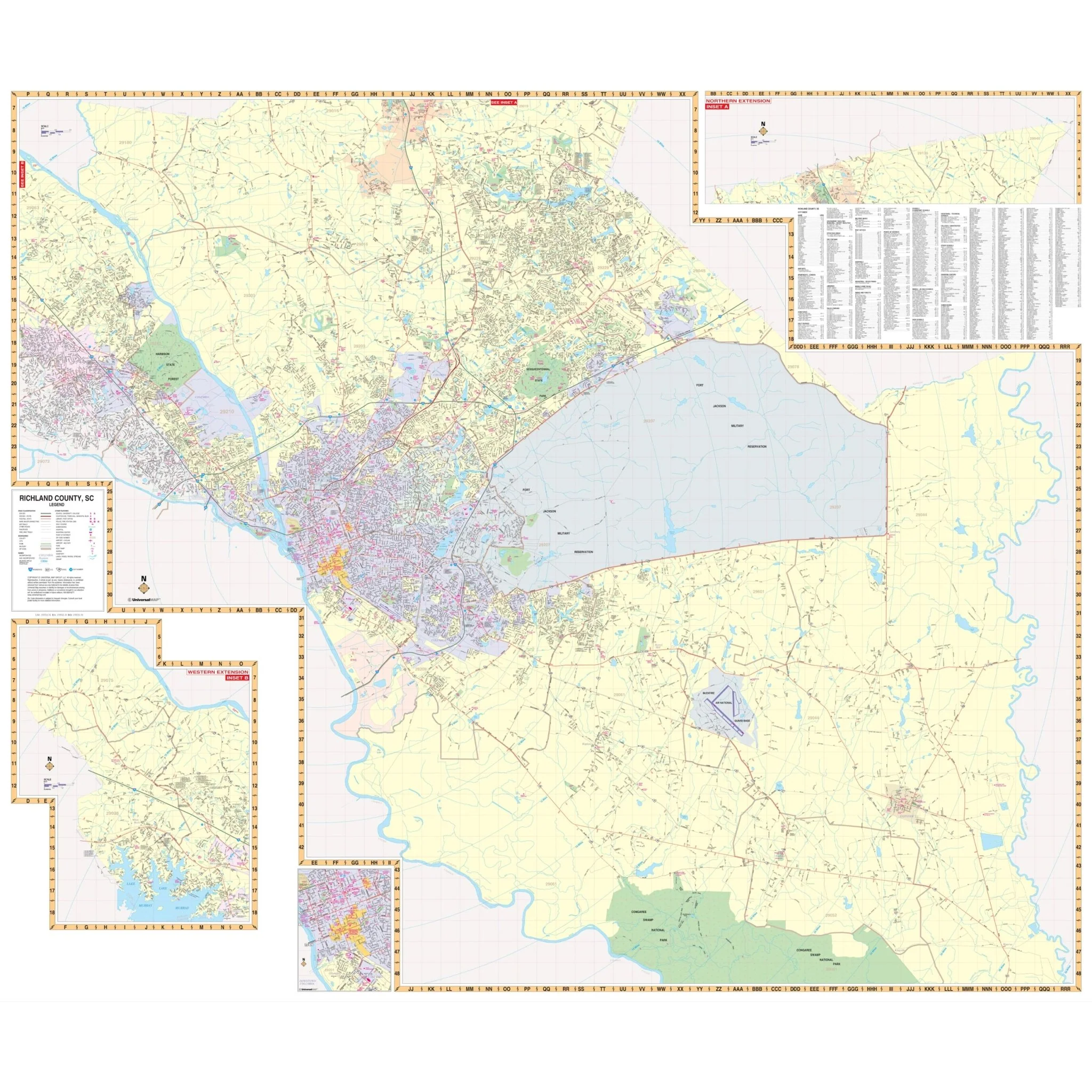
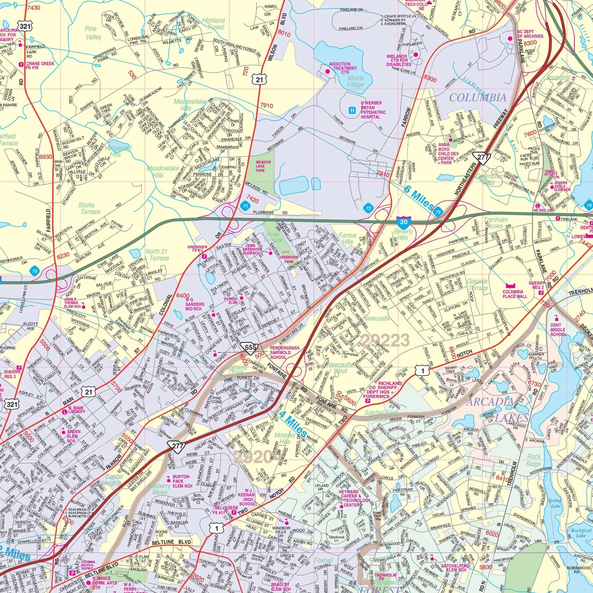
The map provides extensive information, including all streets and highways, government buildings, airports, water features, fire and police stations, shopping centers, educational facilities, hospitals, railroads, recreational parks, golf and country clubs, post offices, city limits and annexations, subdivision names, fire district lines, cemeteries, ZIP codes/boundaries, and points of interest.
Size: 69.5" x 54"
Published: 2013
Original: $149.99
-70%$149.99
$45.00Product Information
Product Information
Shipping & Returns
Shipping & Returns
Description
The Seneca and Oconee County, South Carolina Wall Map by Kappa Map Group provides comprehensive street detail and indexing for cities and towns. The area of coverage is divided into two sections:
- Section I: Encompasses all of Oconee County, with the following boundaries:
- North: to the North Carolina State line
- South: to the Georgia State line
- East: to the Pickens/Oconee County line
- West: to the Chattooga river
- Section II: Includes inset maps of the cities of Seneca, Salem, Walhalla/West Union, and Westminster, with a scale of 1" = 1,760 feet.
The map provides extensive information, including all streets and highways, government buildings, airports, water features, fire and police stations, shopping centers, educational facilities, hospitals, railroads, recreational parks, golf and country clubs, post offices, city limits and annexations, subdivision names, fire district lines, cemeteries, ZIP codes/boundaries, and points of interest.
Size: 69.5" x 54"
Published: 2013