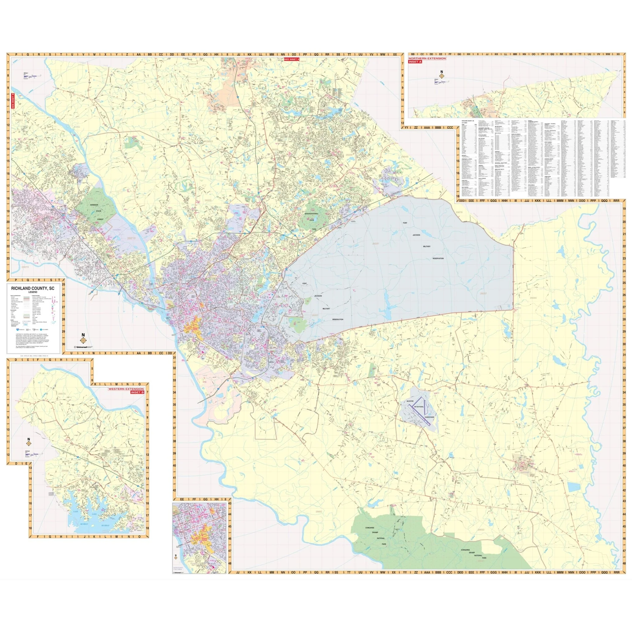
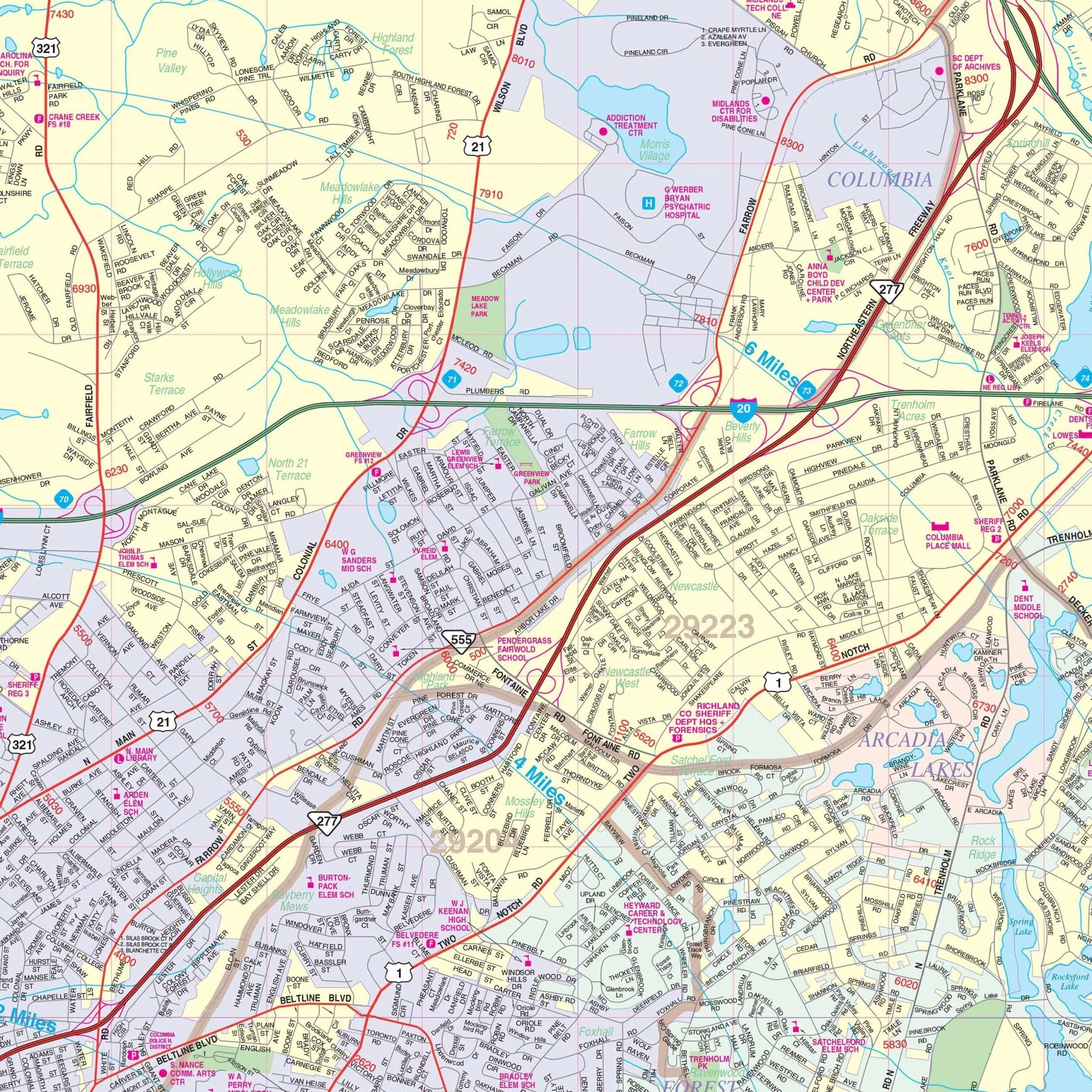


Columbia & Richland County, SC Wall Map
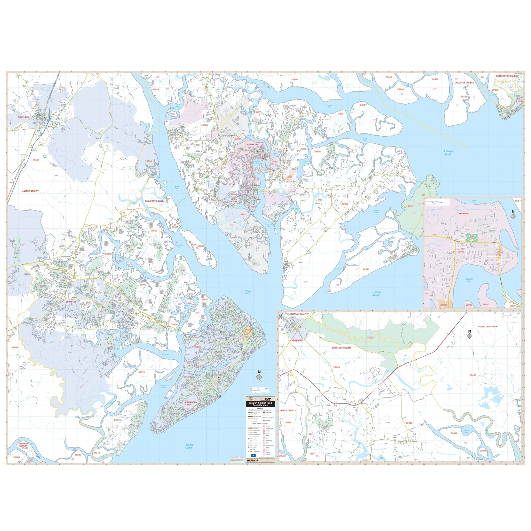
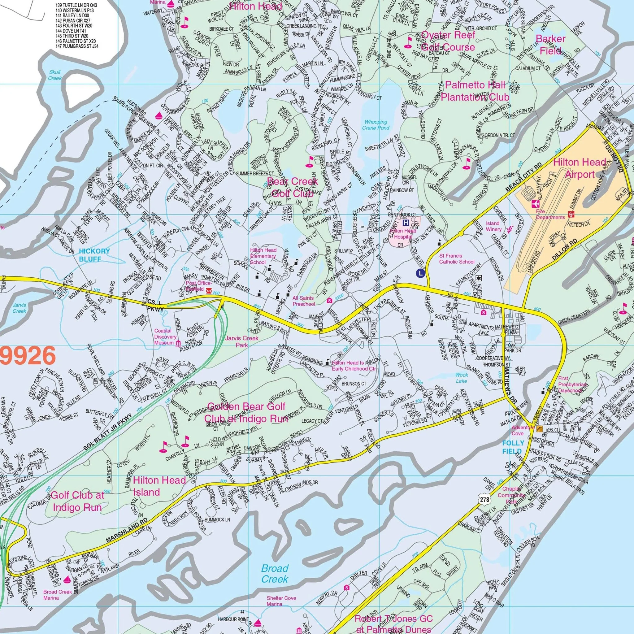
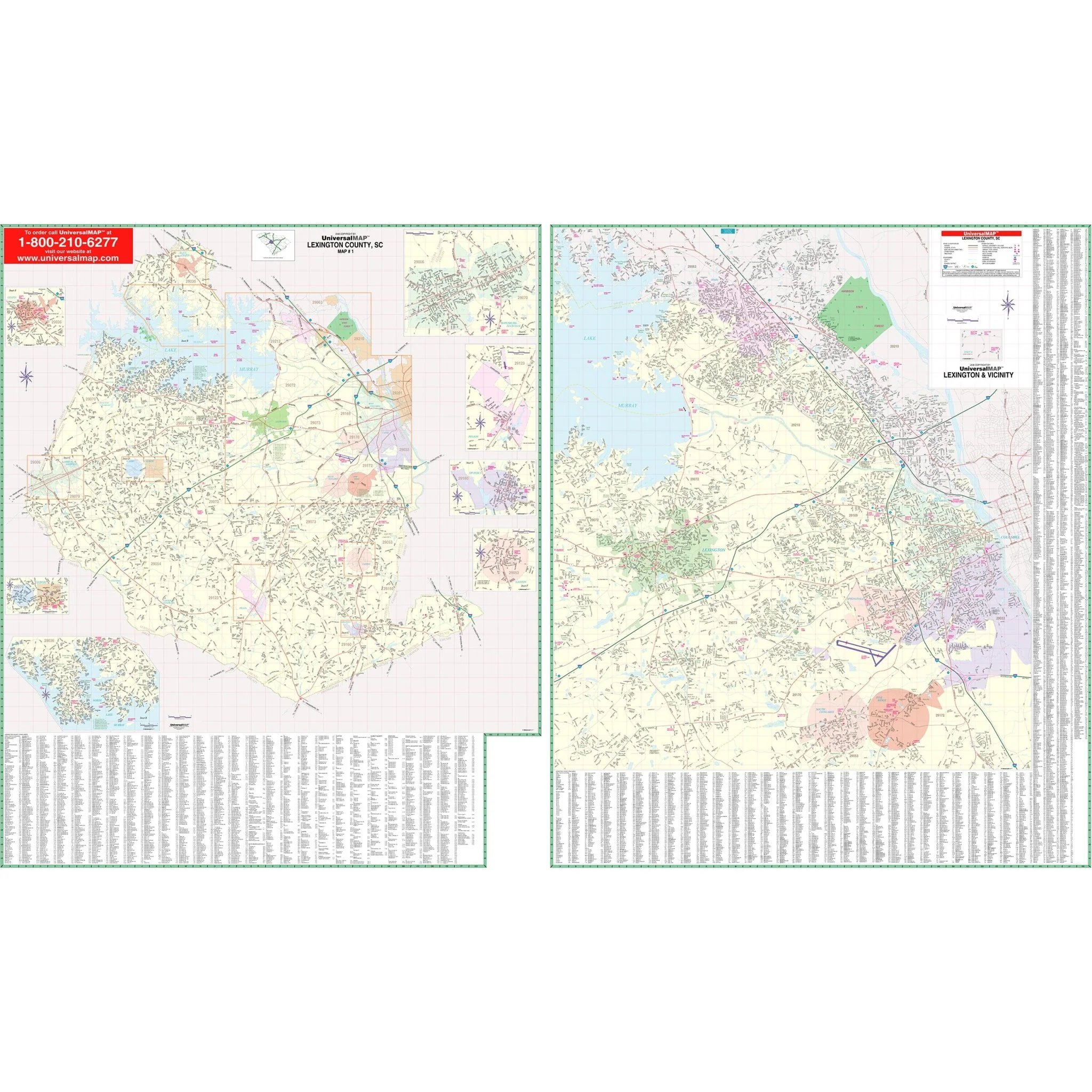
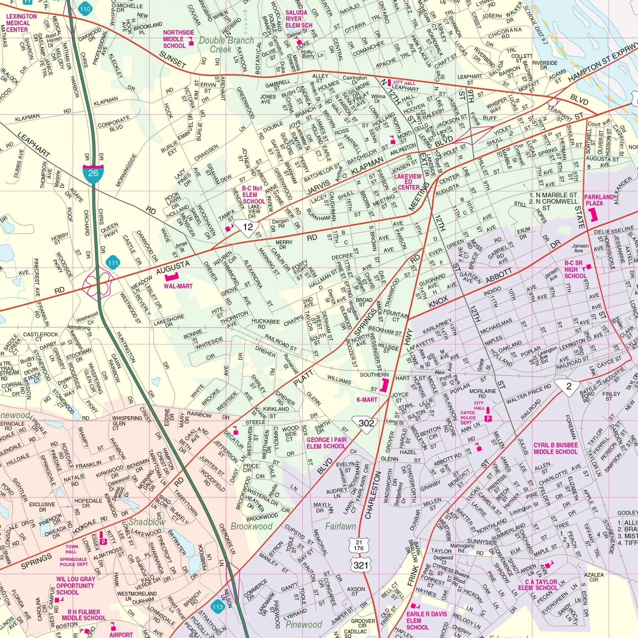
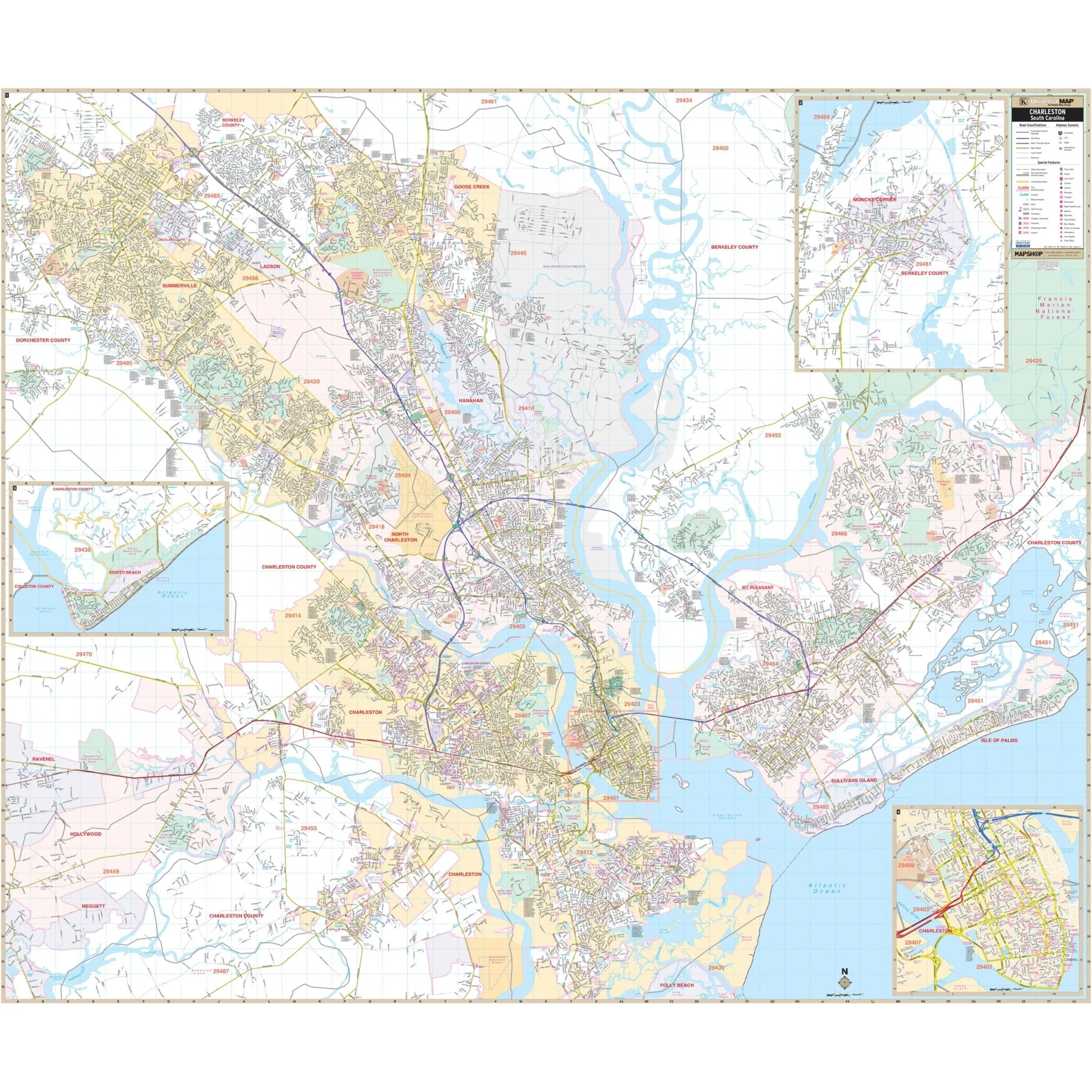
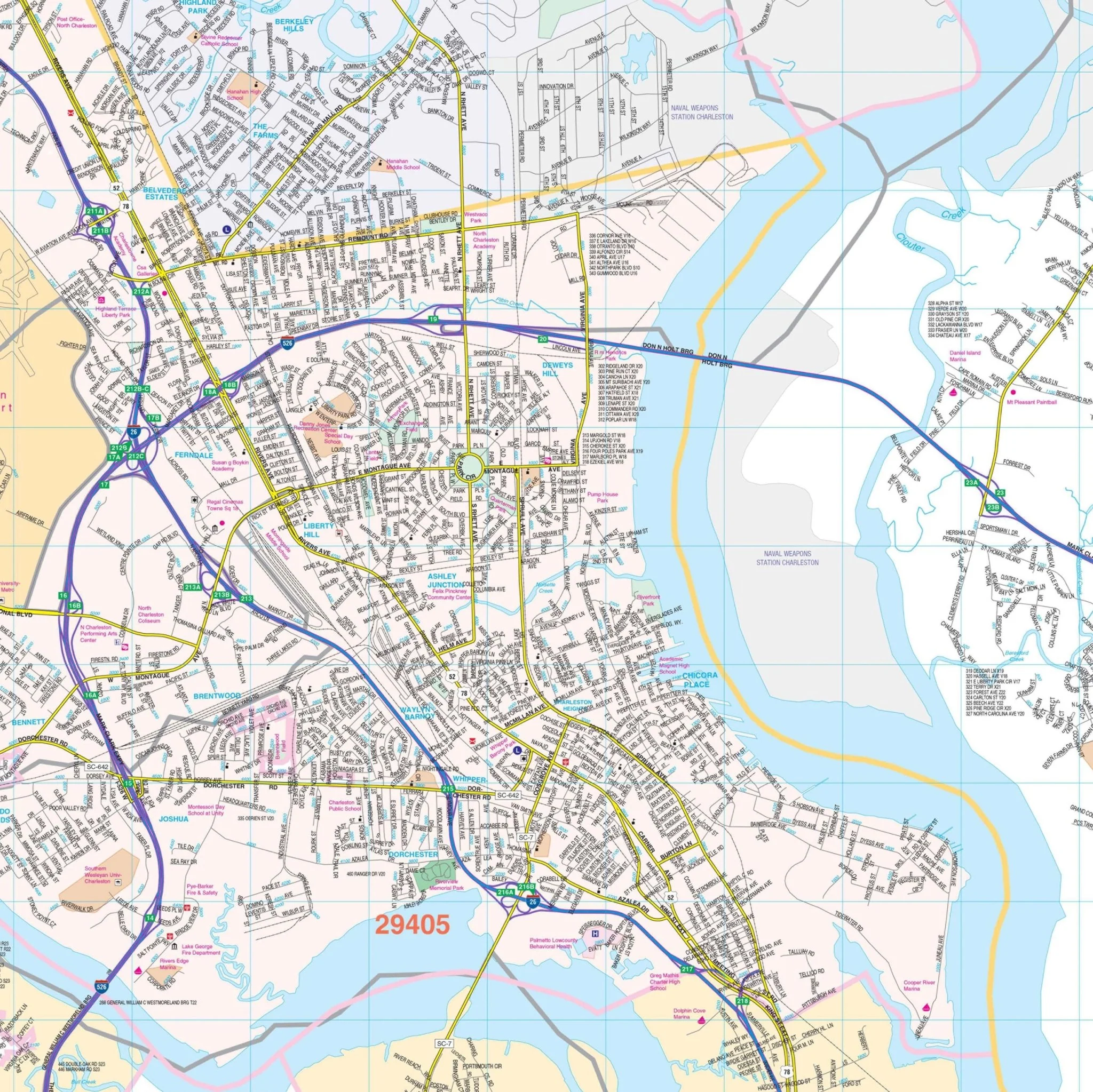
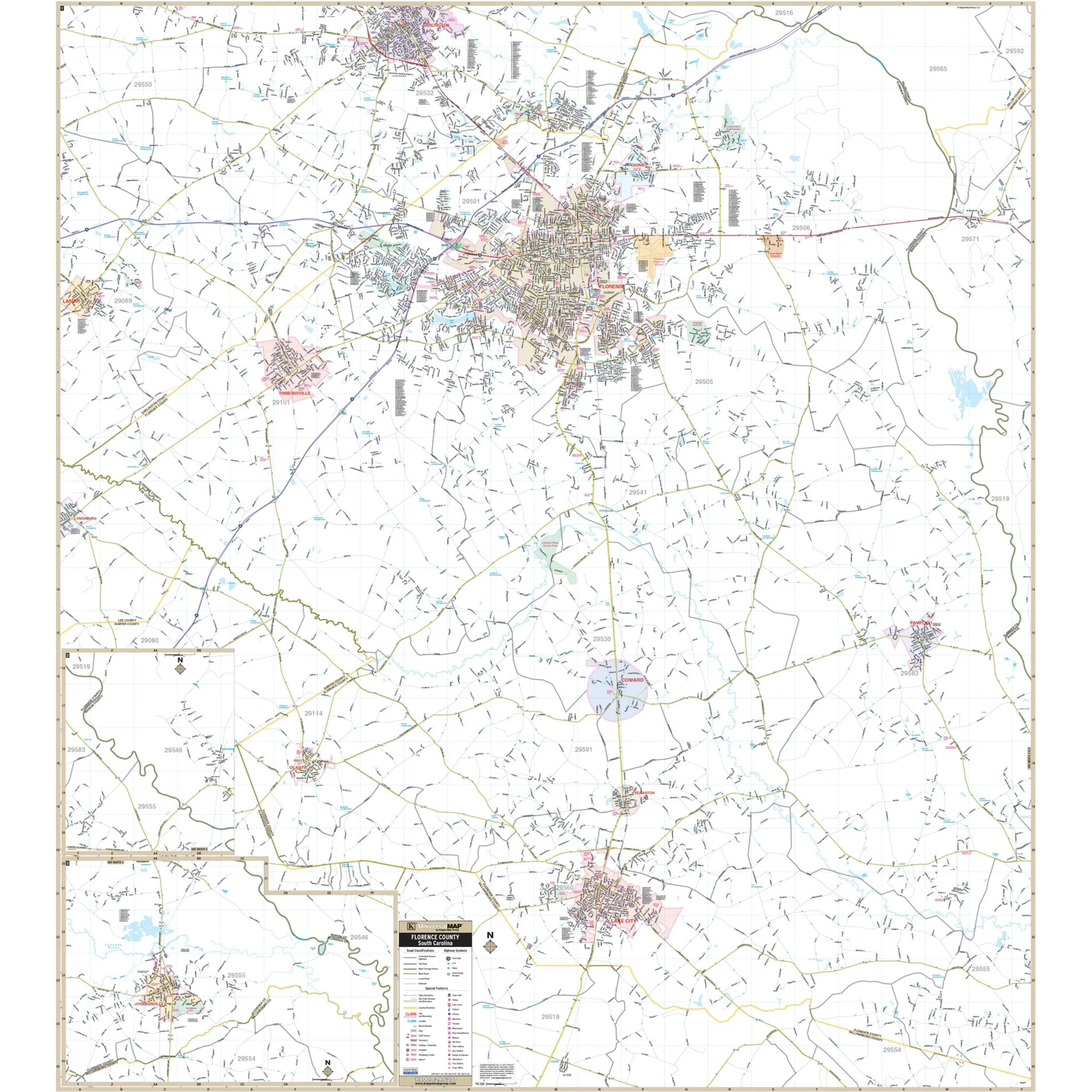
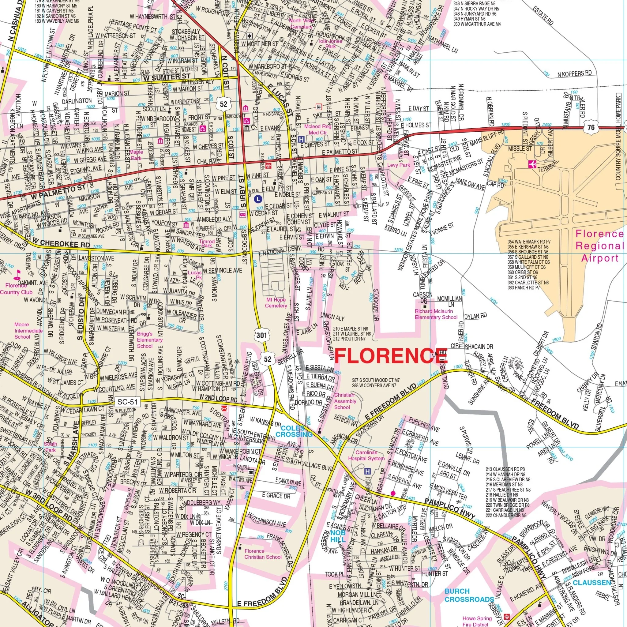
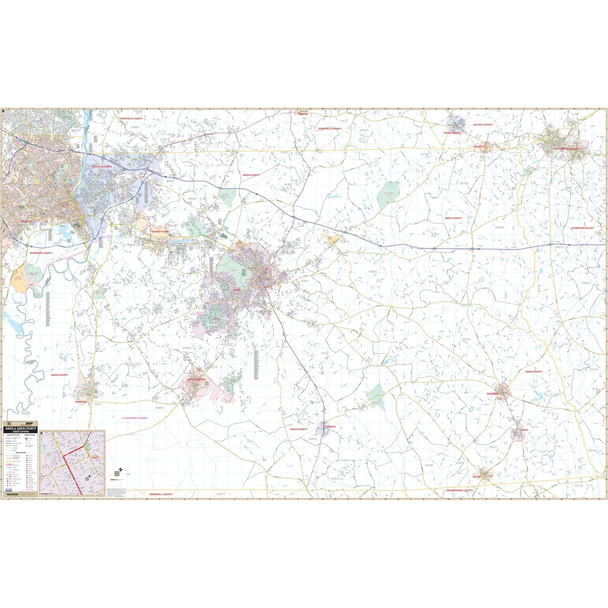
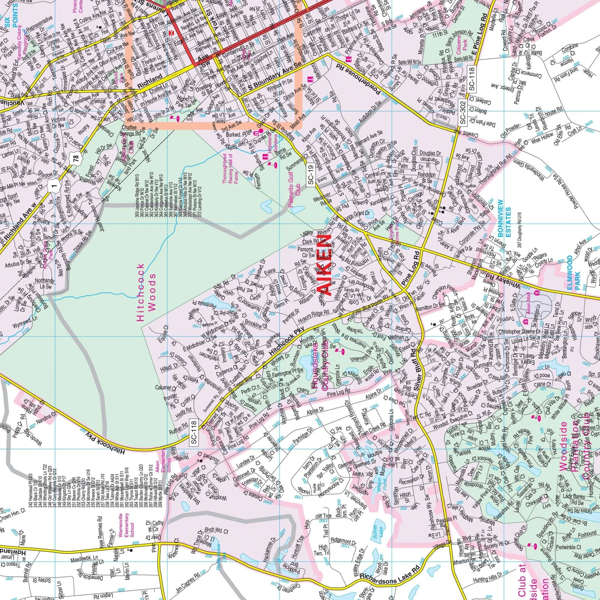
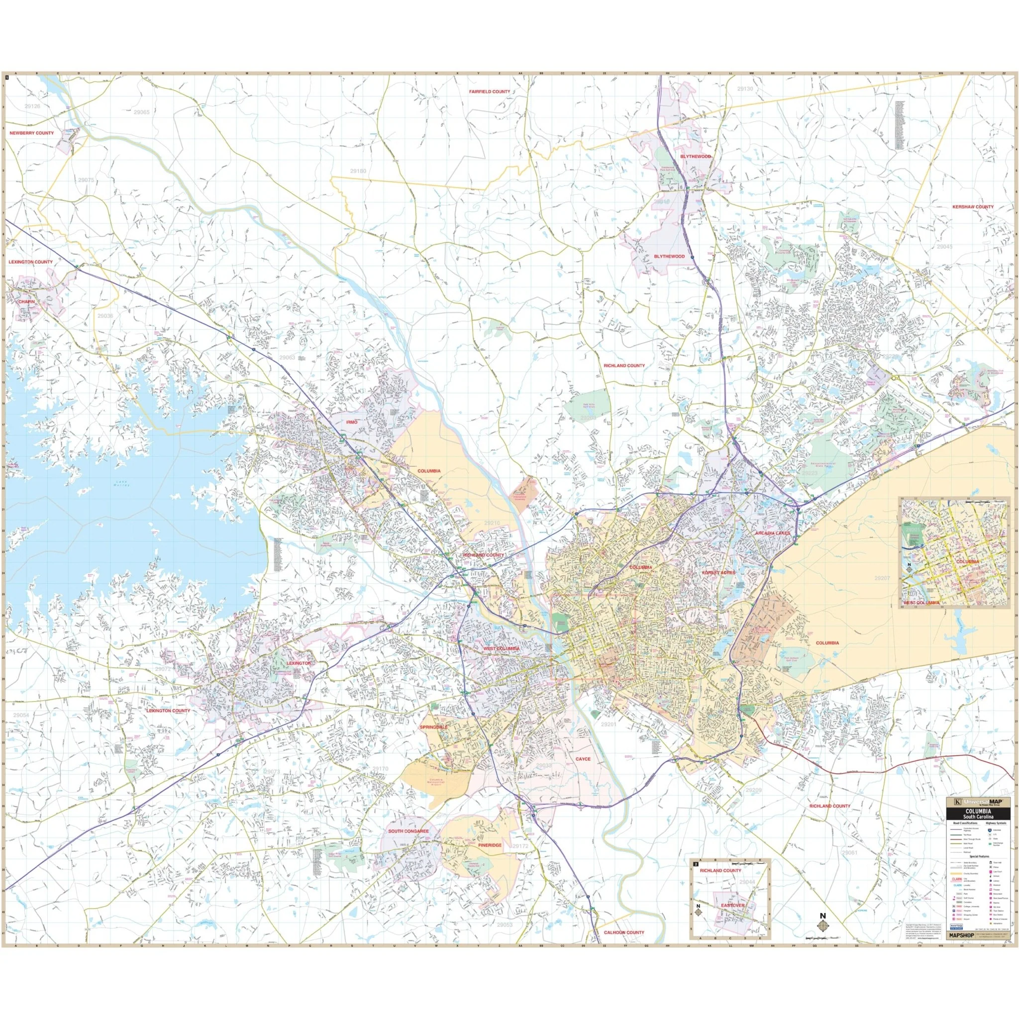
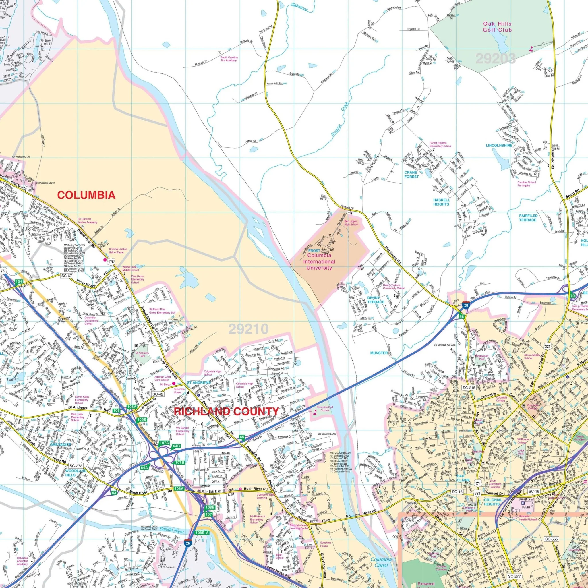
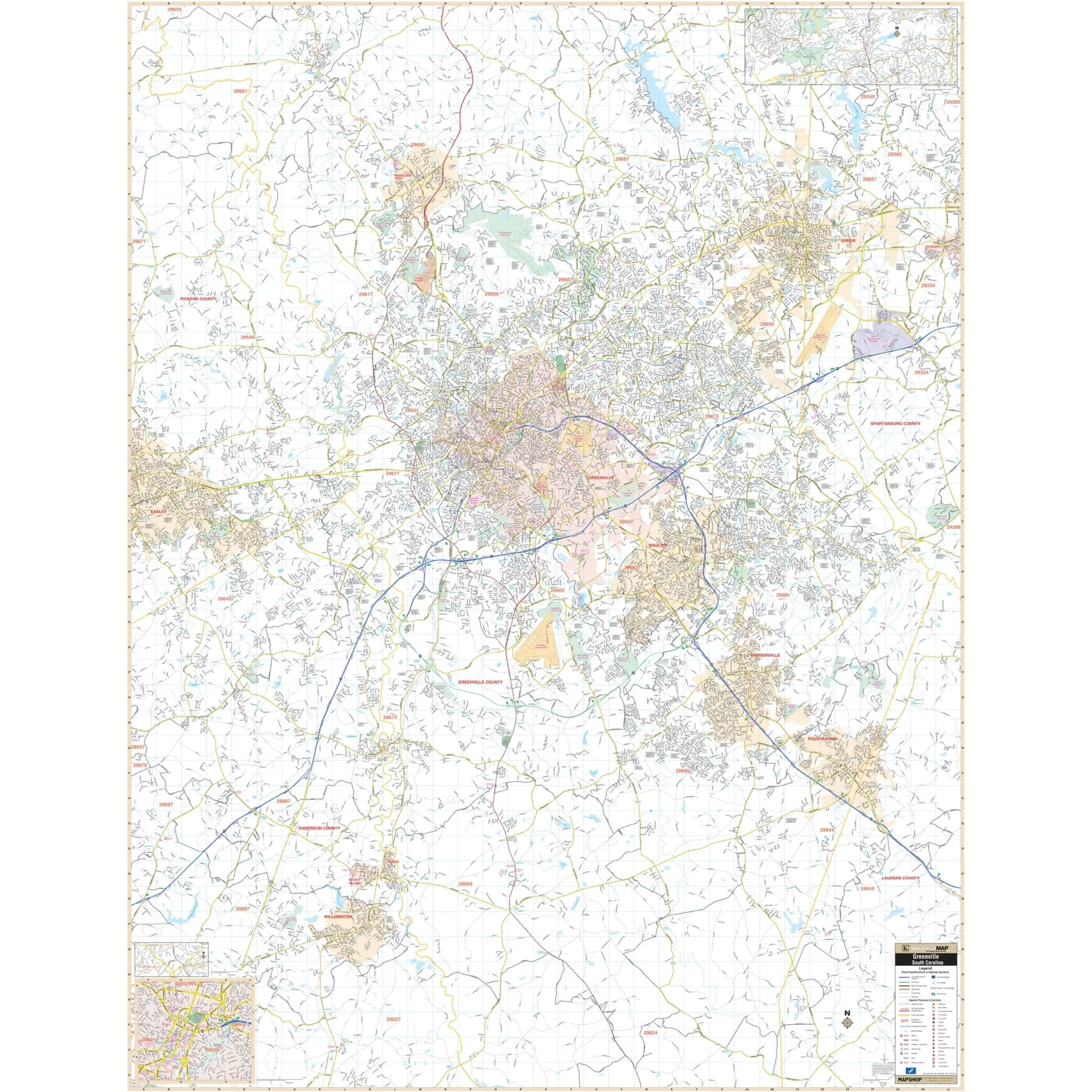
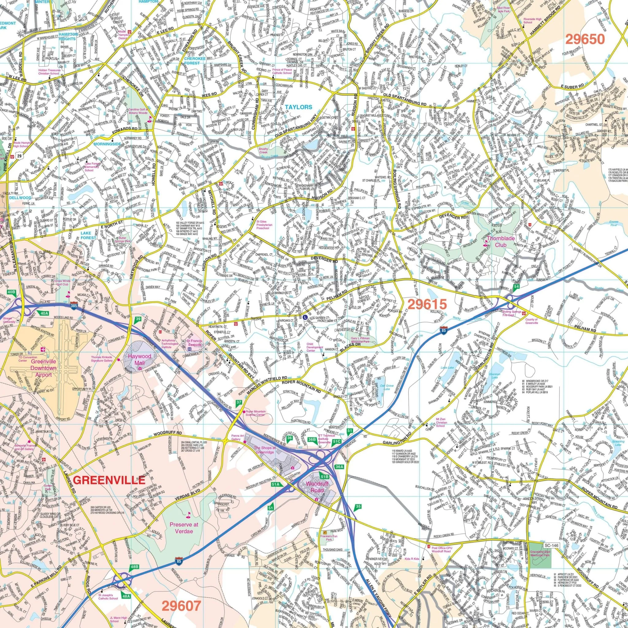
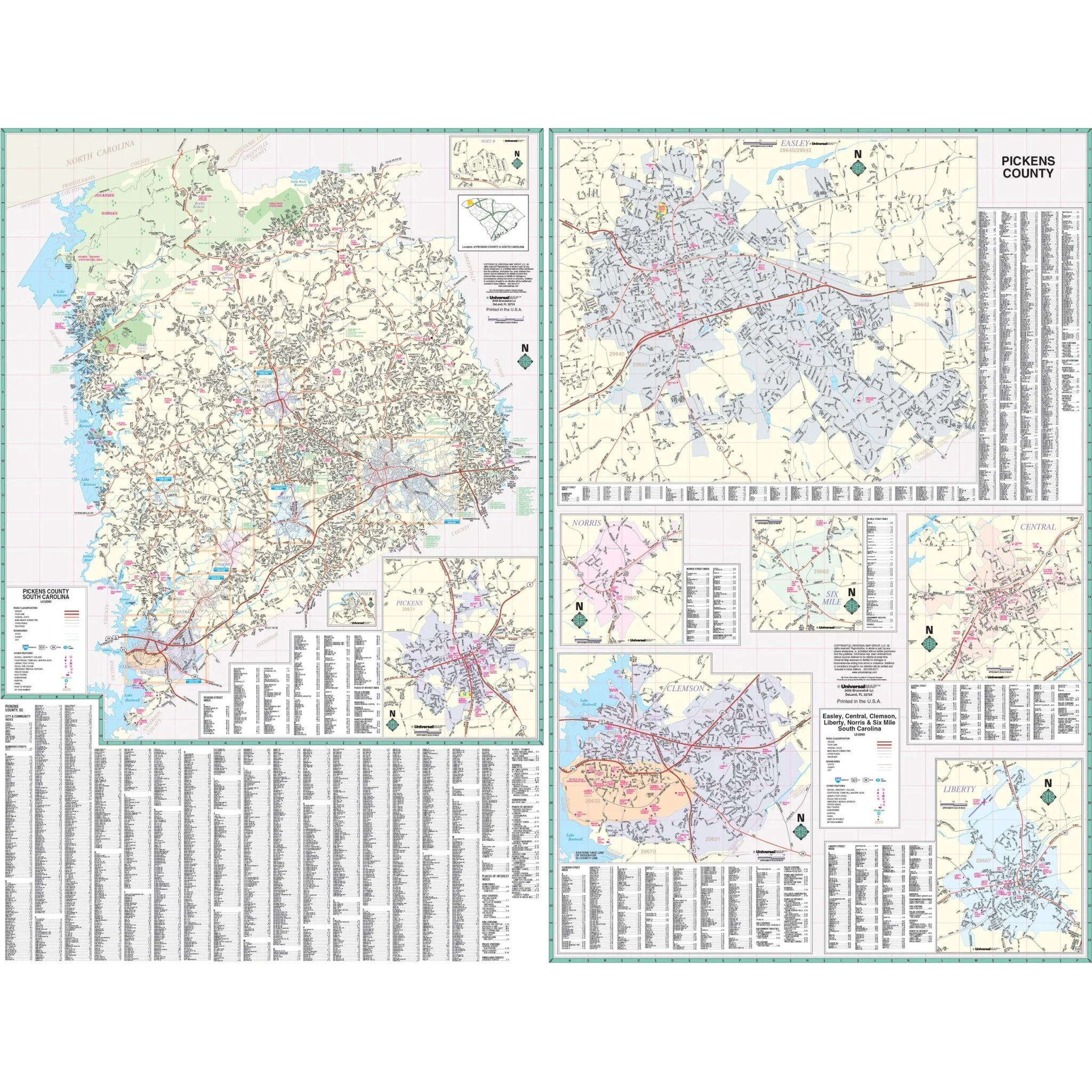
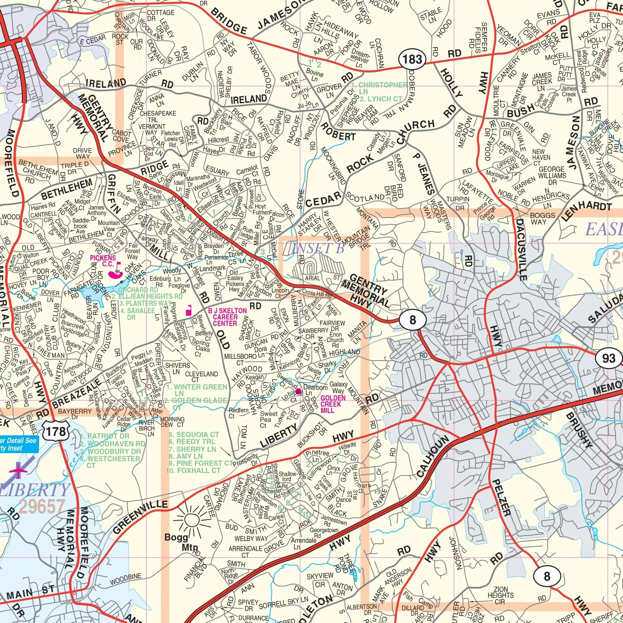
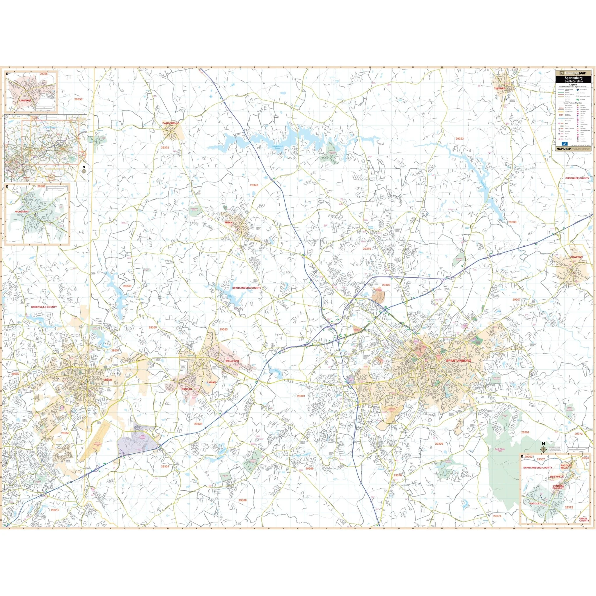
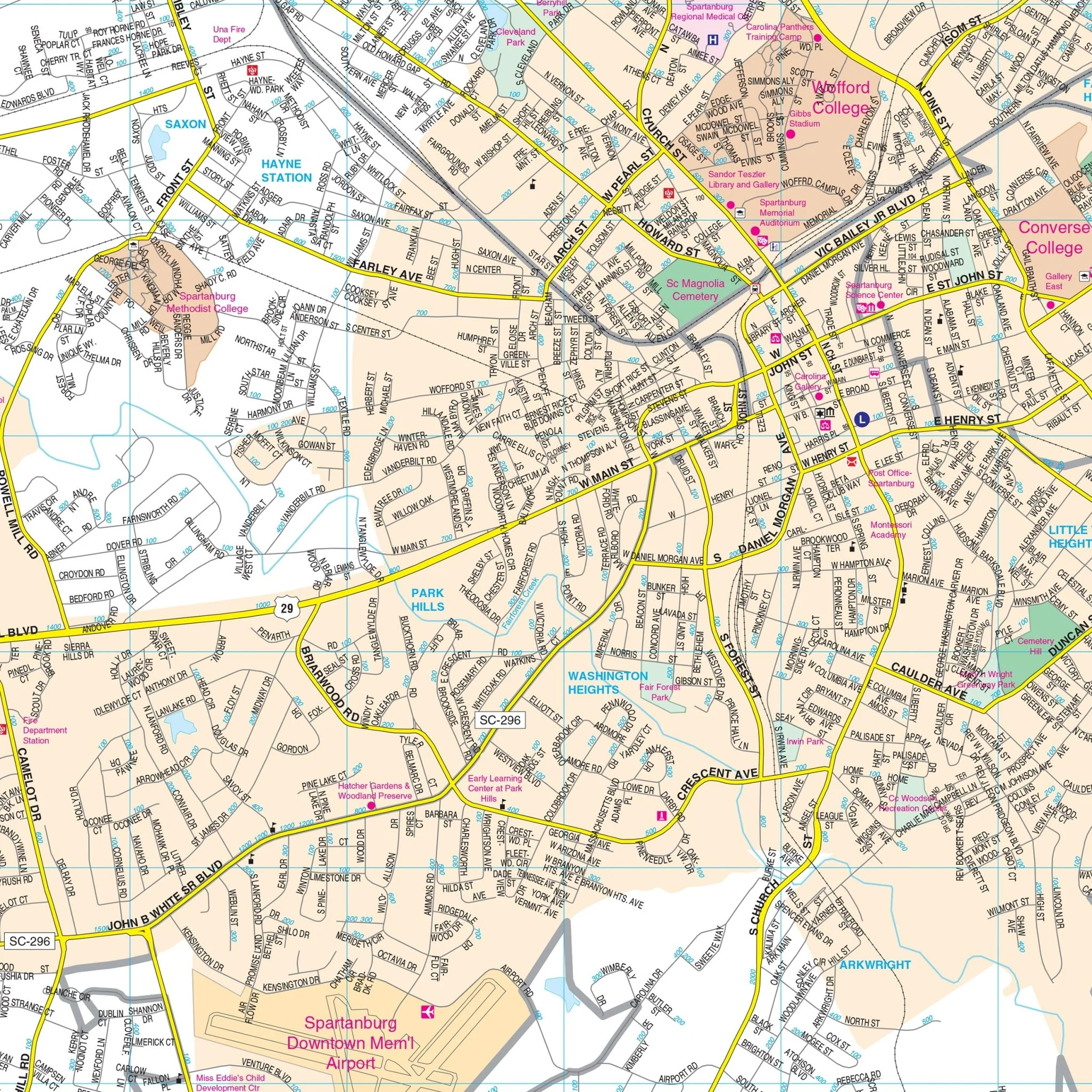
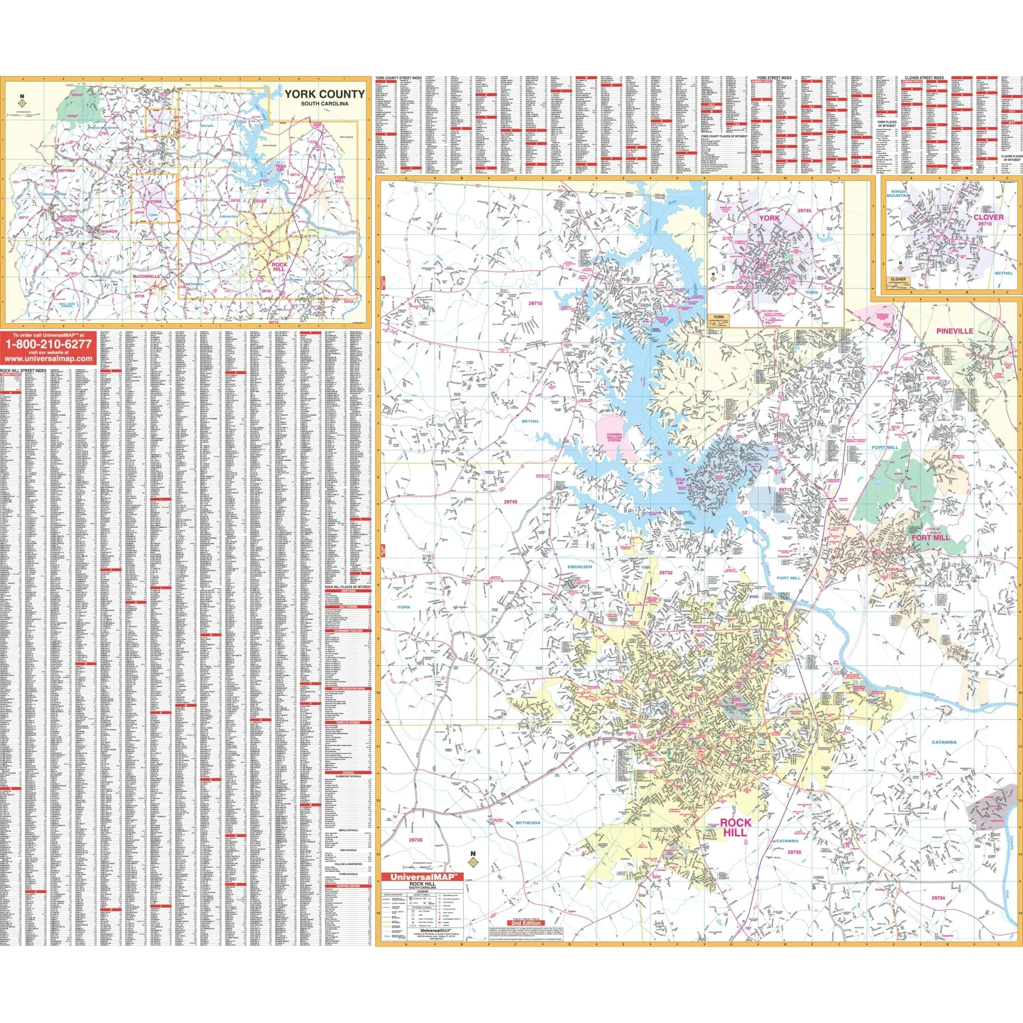
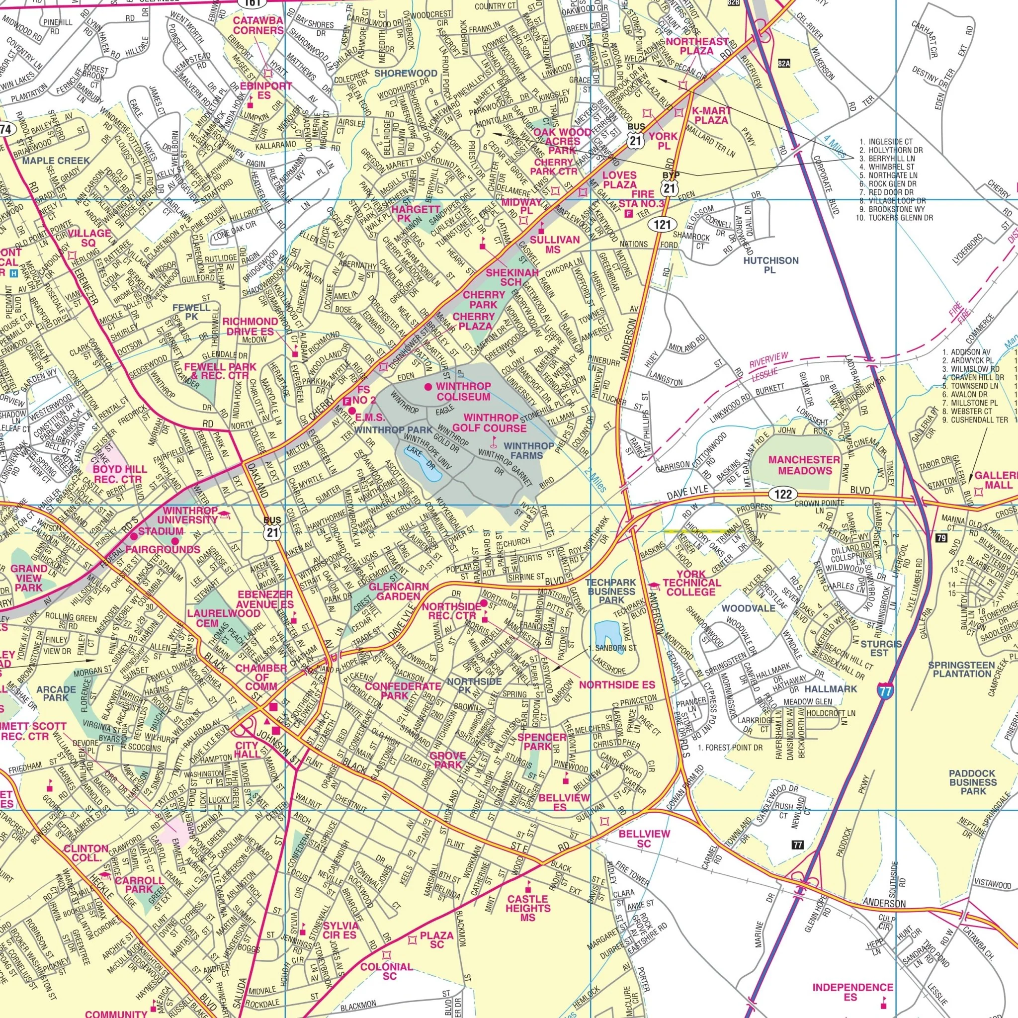
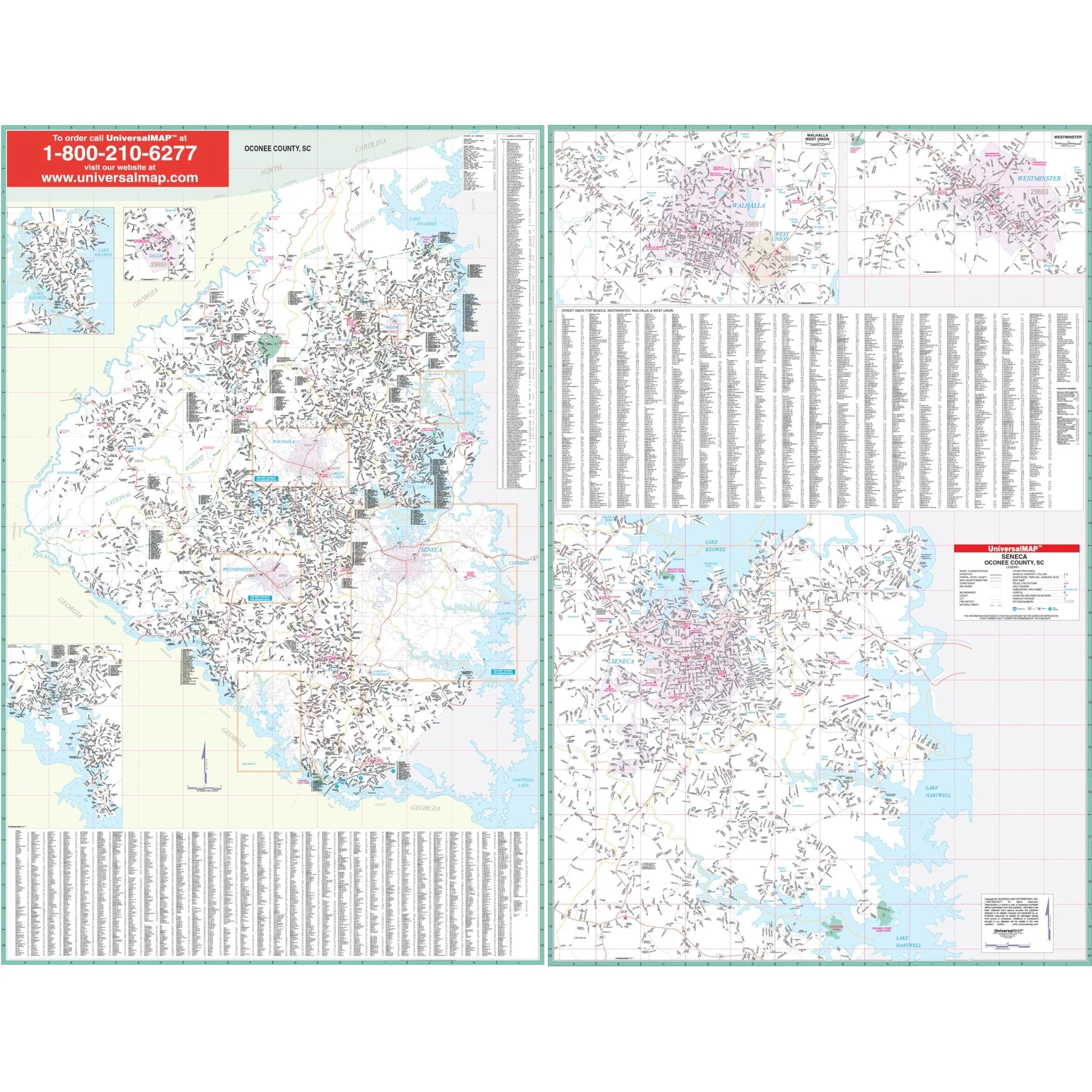
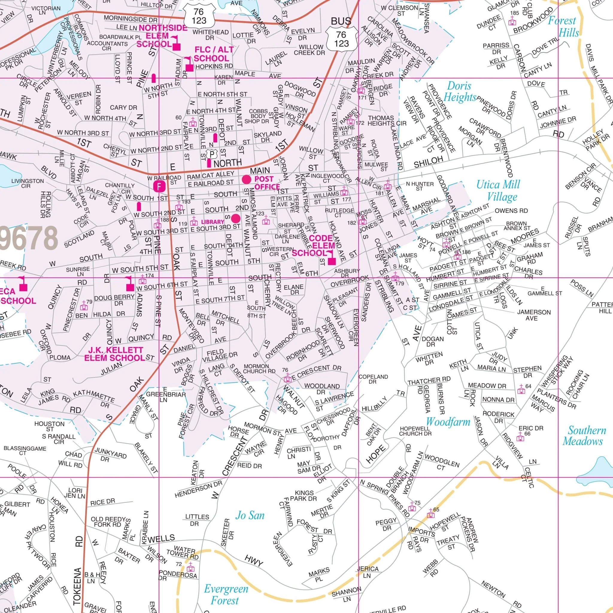
The Columbia and Richland County, South Carolina Wall Map by Kappa Map Group provides detailed coverage for the region. This map provides a wealth of information, including all streets and highways, government buildings, airports, water features, fire and police stations, hospitals, shopping centers, educational facilities, railroads, recreational parks, golf and country clubs, post offices, city limits and annexations, cemeteries, ZIP codes, and points of interest.
Size: 66" x 56"
Published: 2009
Original: $149.99
-70%$149.99
$45.00Product Information
Product Information
Shipping & Returns
Shipping & Returns
Description
The Columbia and Richland County, South Carolina Wall Map by Kappa Map Group provides detailed coverage for the region. This map provides a wealth of information, including all streets and highways, government buildings, airports, water features, fire and police stations, hospitals, shopping centers, educational facilities, railroads, recreational parks, golf and country clubs, post offices, city limits and annexations, cemeteries, ZIP codes, and points of interest.
Size: 66" x 56"
Published: 2009