


Hilton Head SC Wall Map
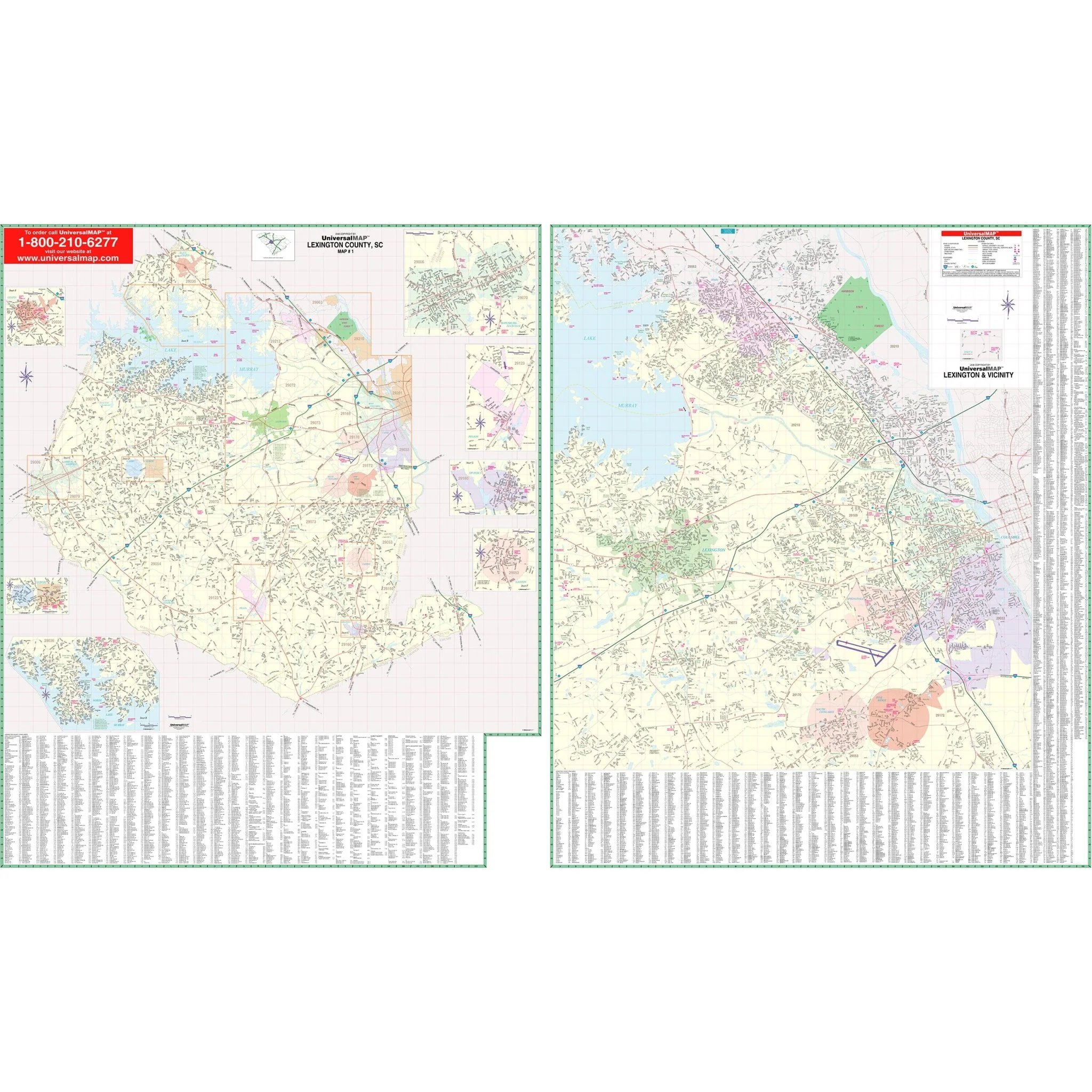
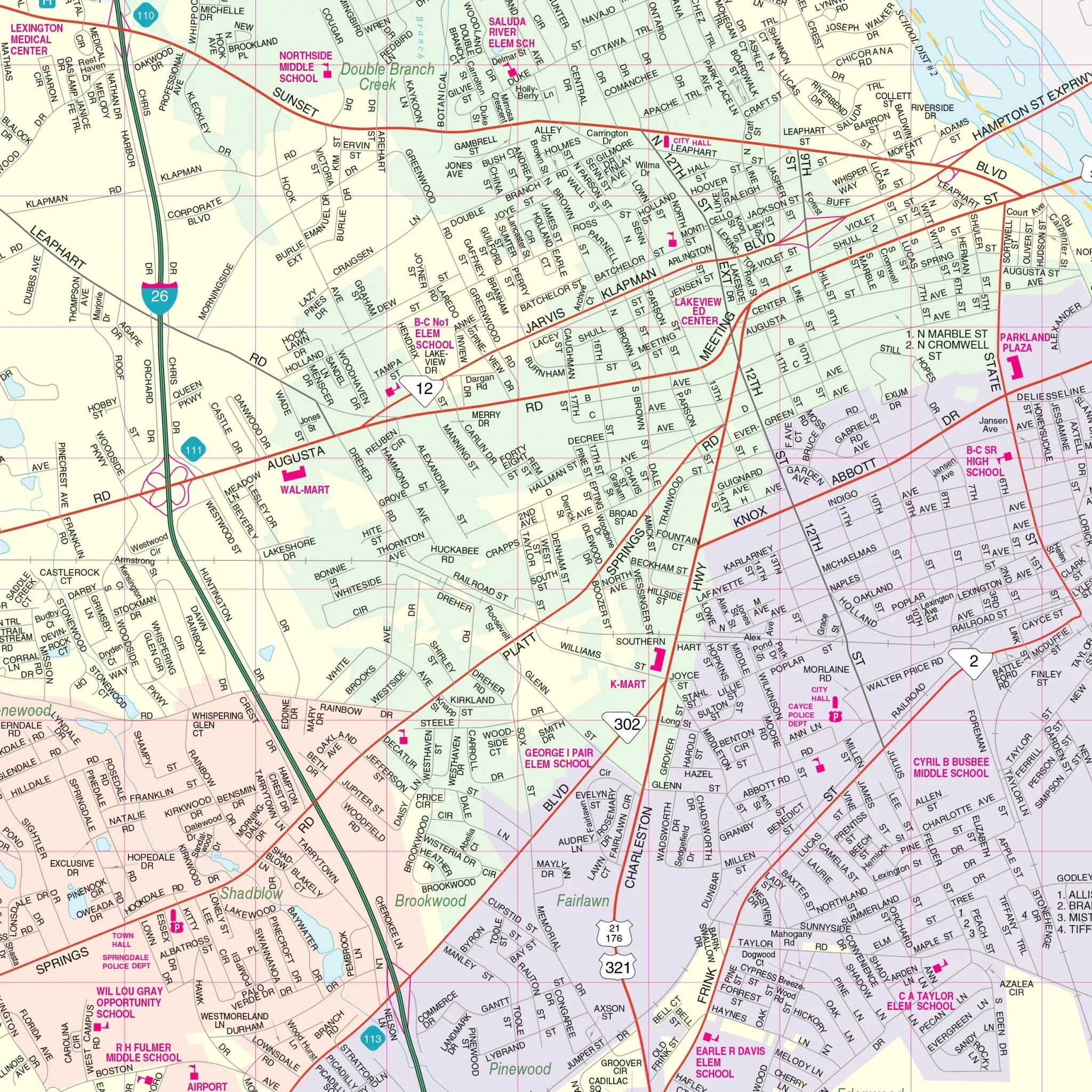
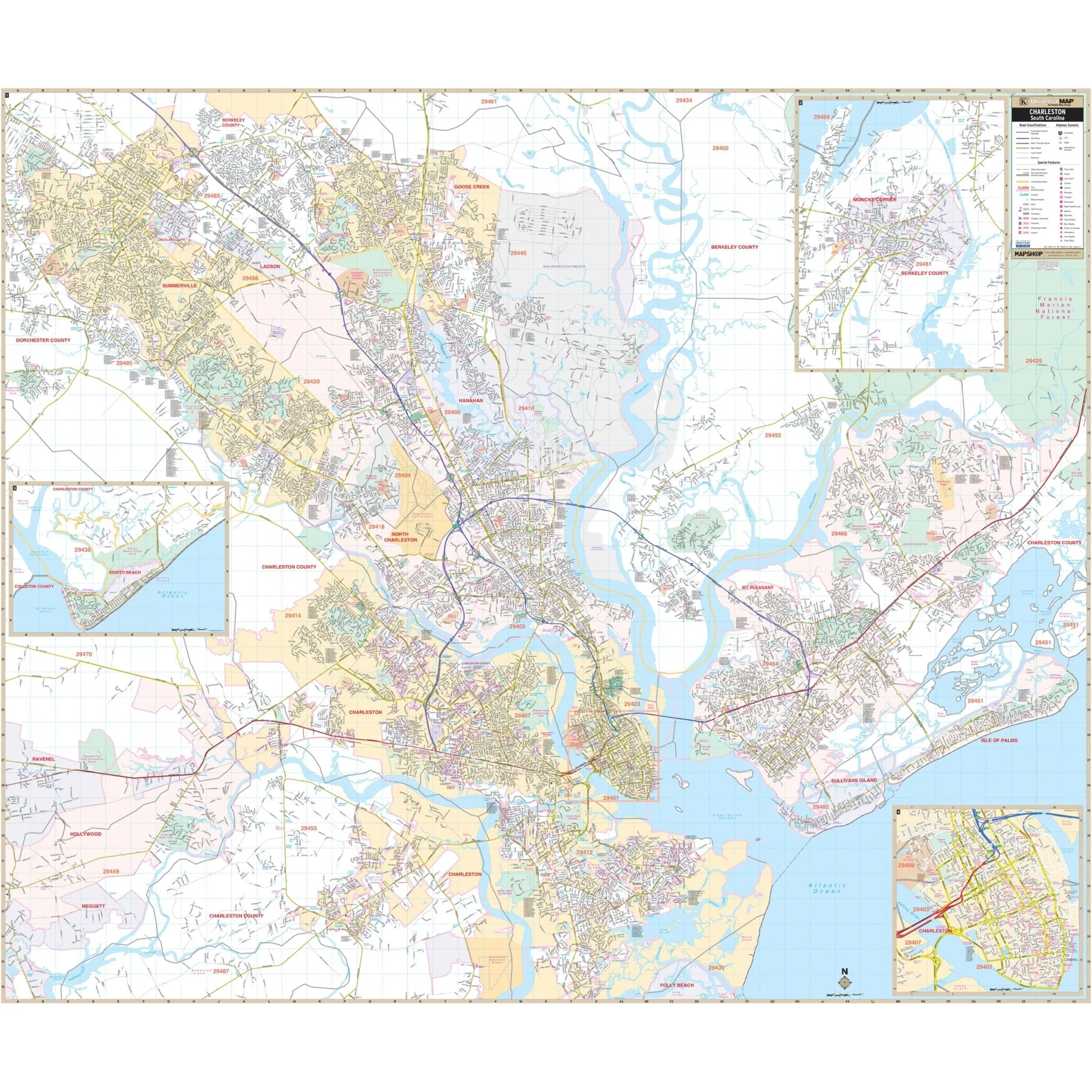
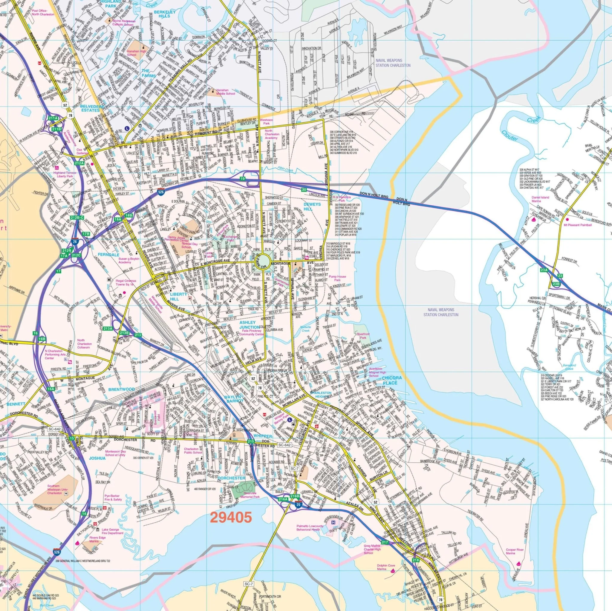
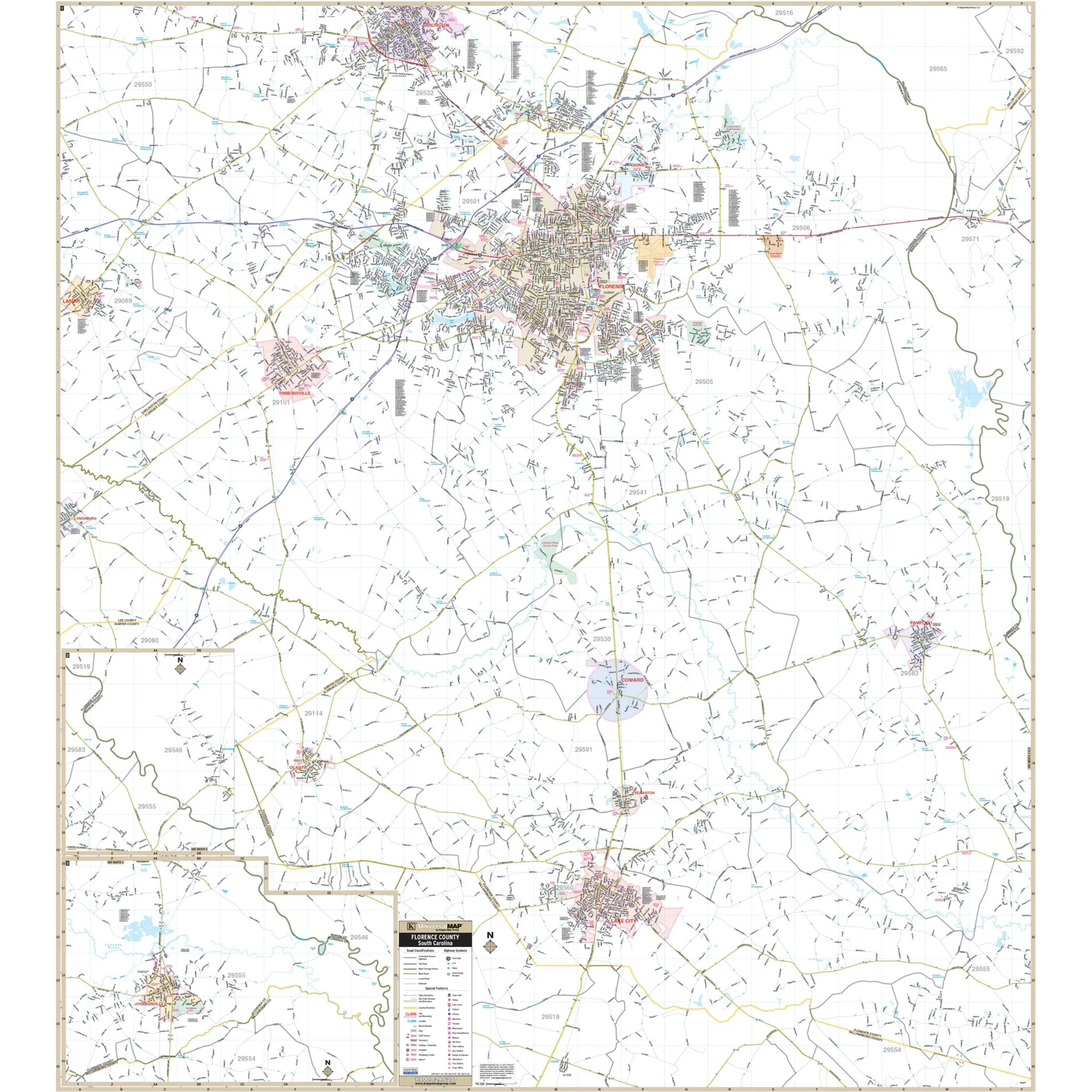
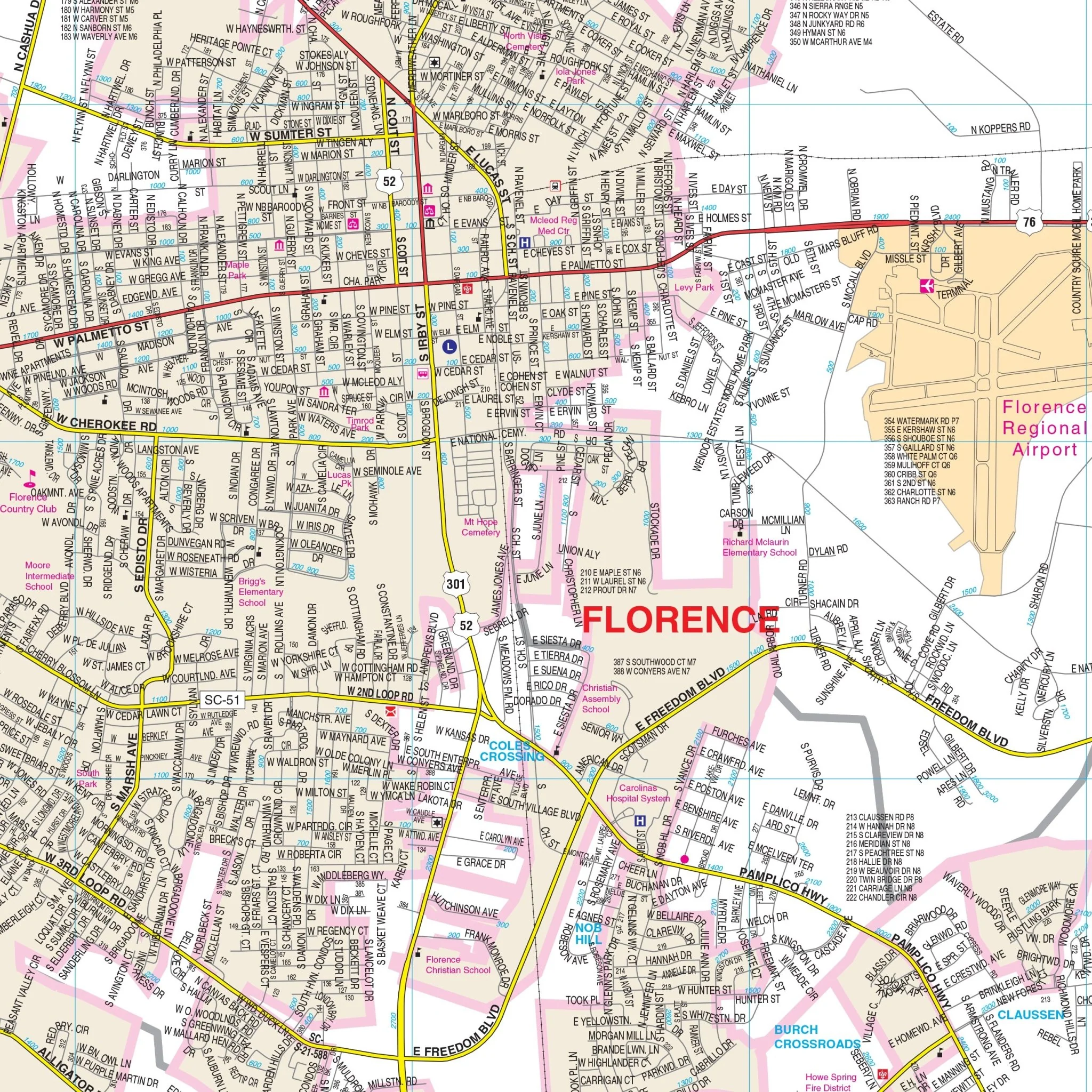
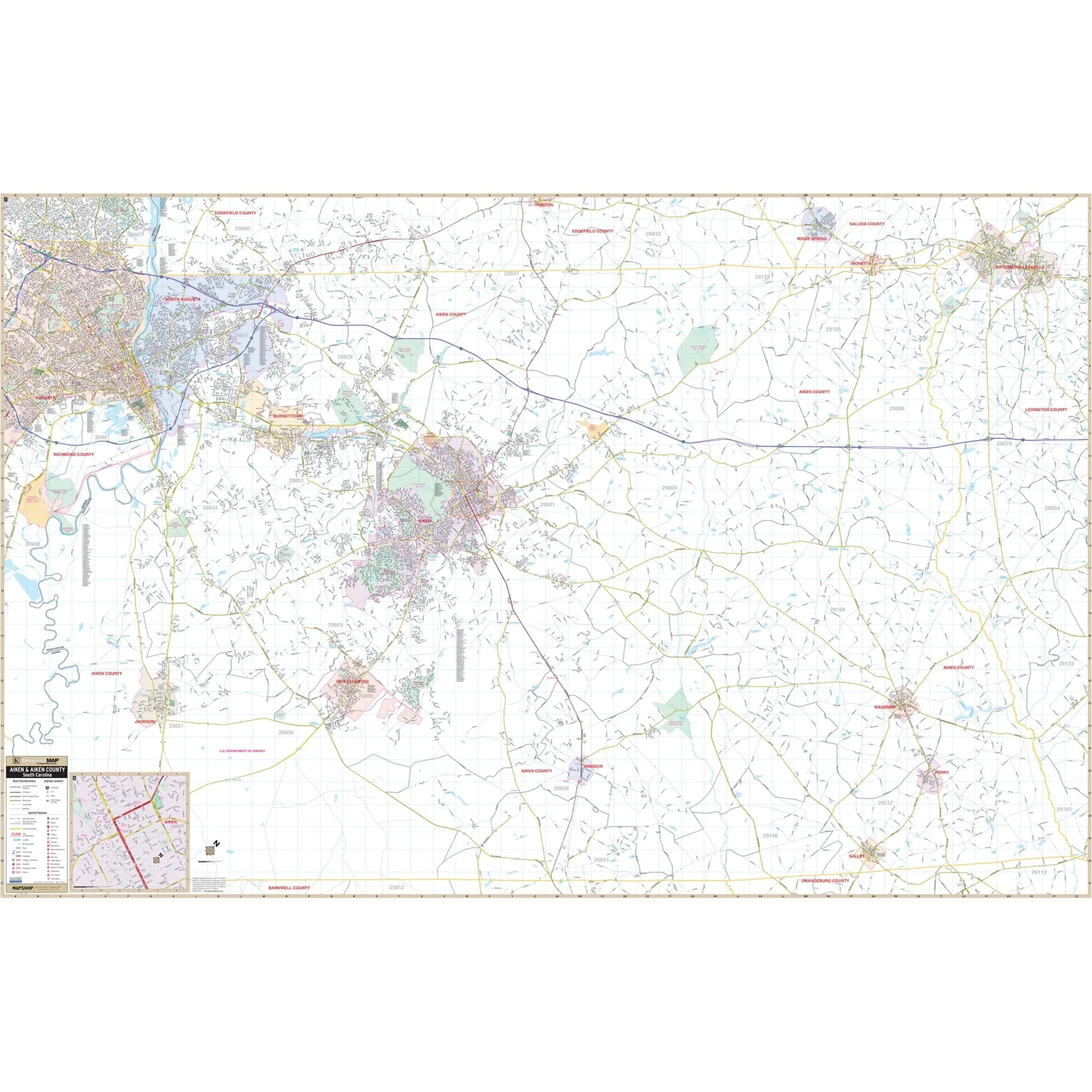
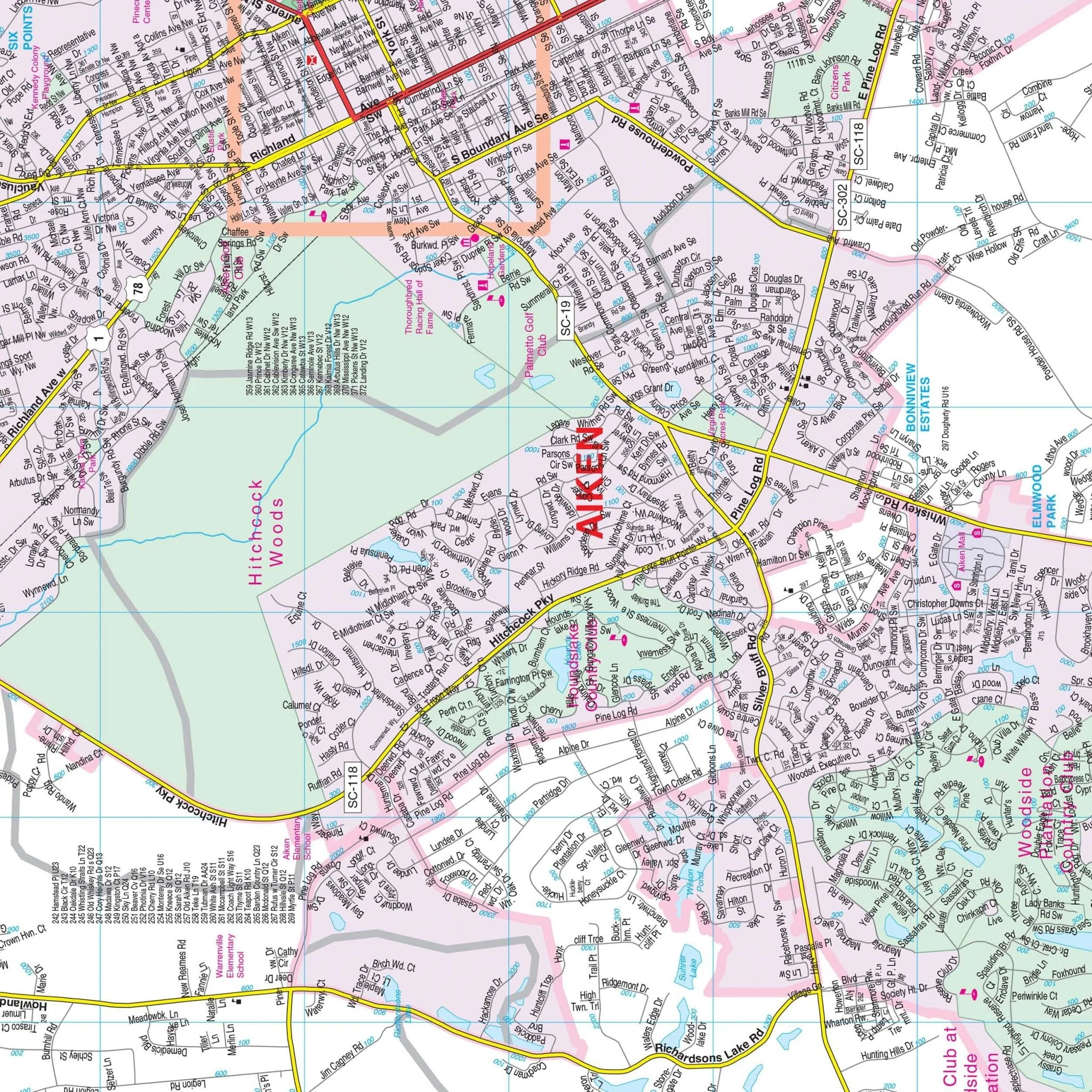
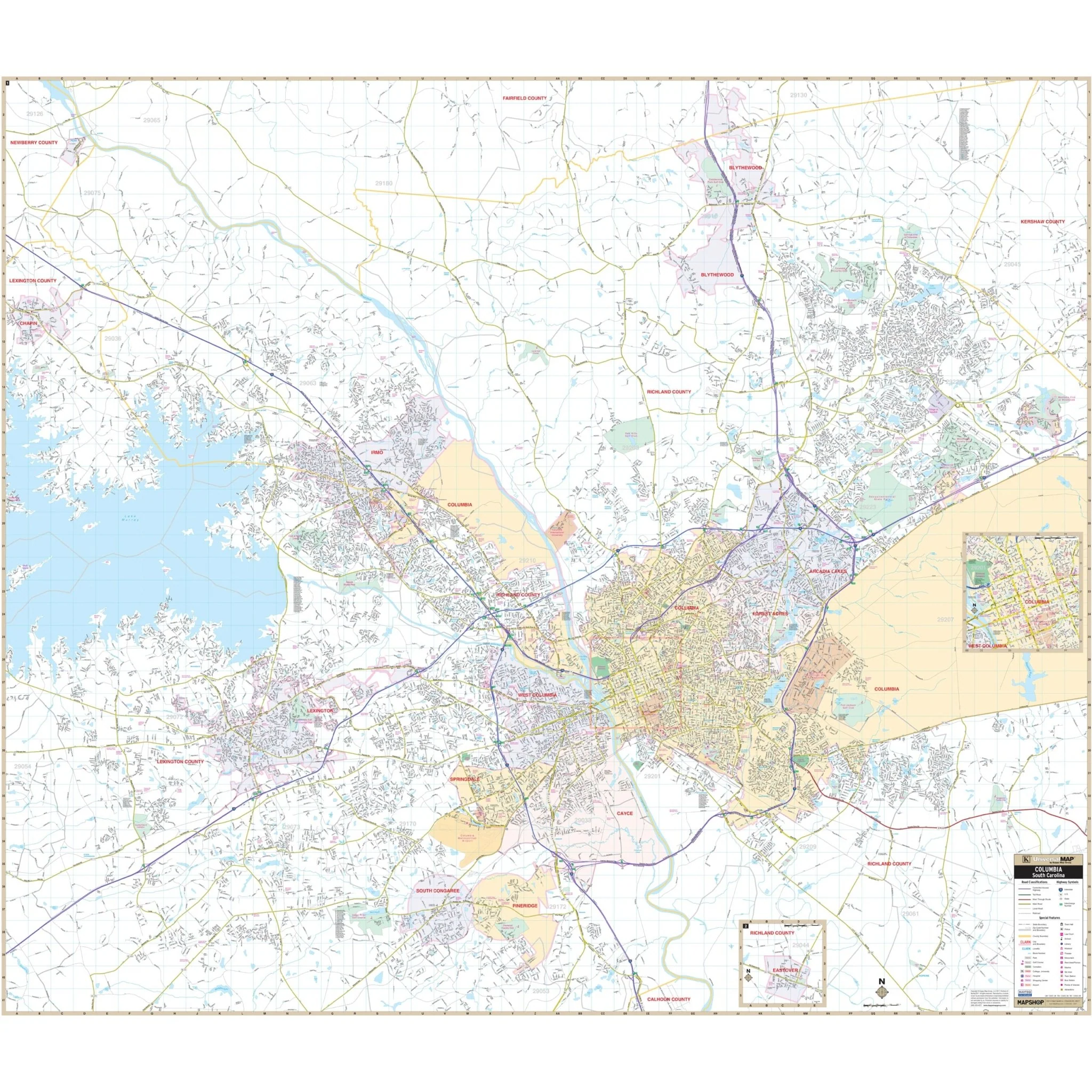
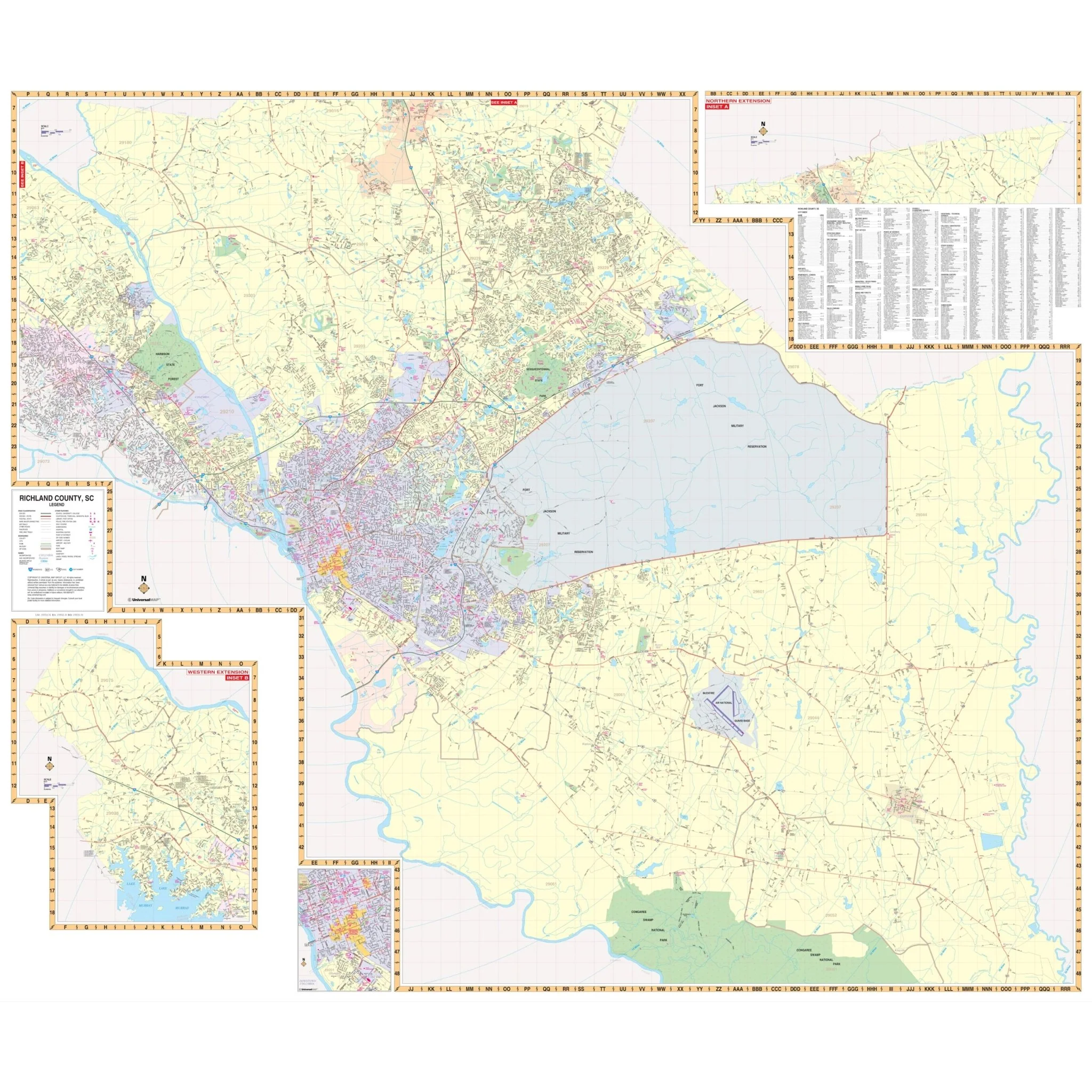
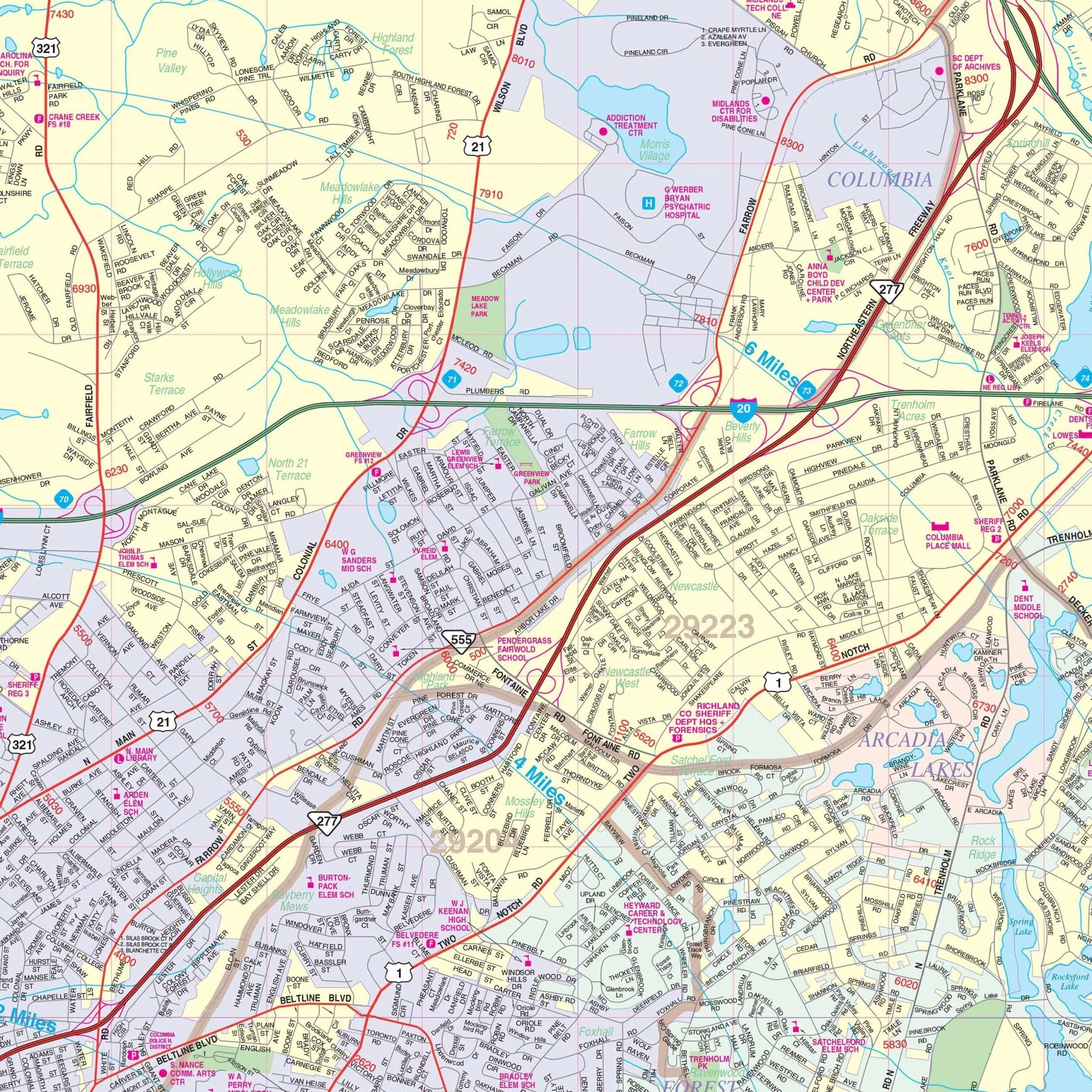
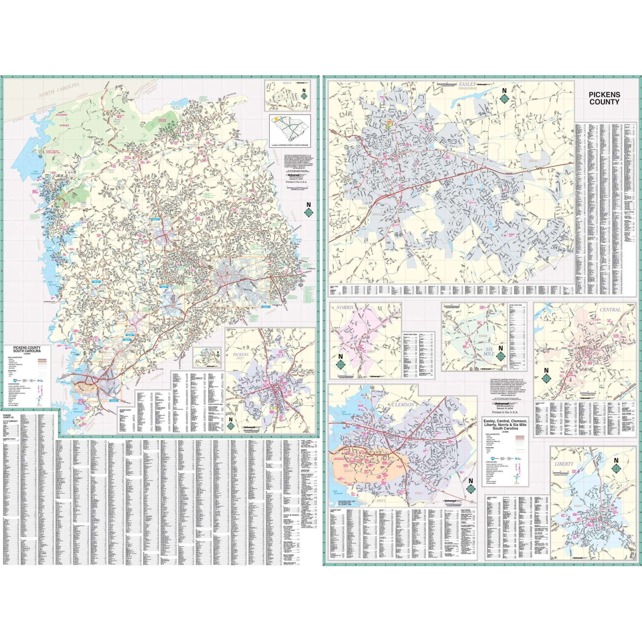
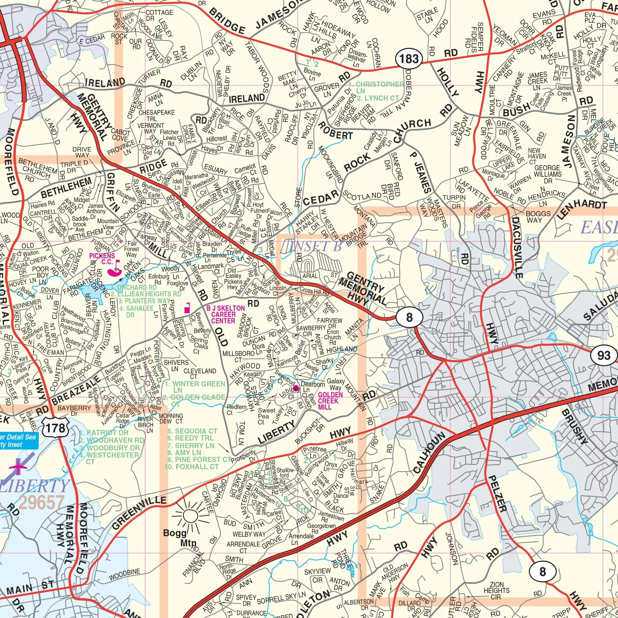
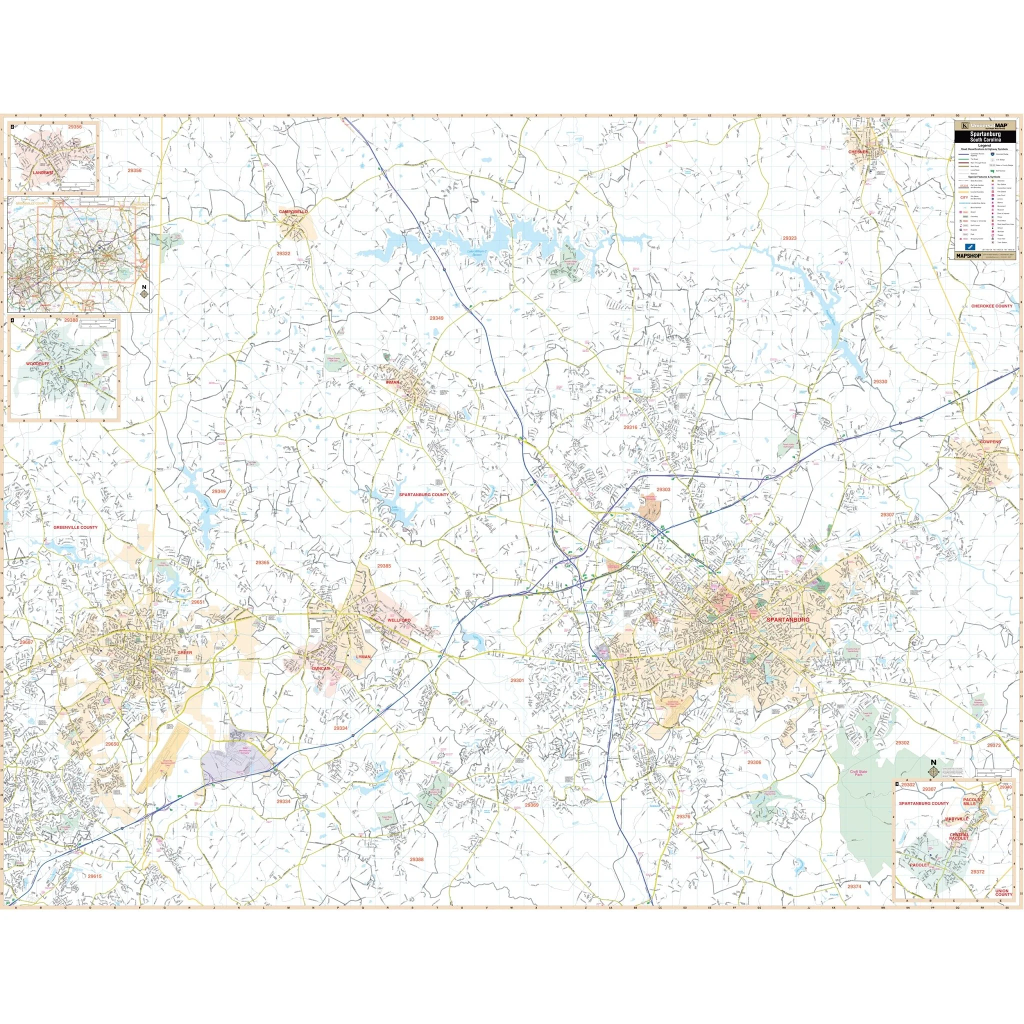
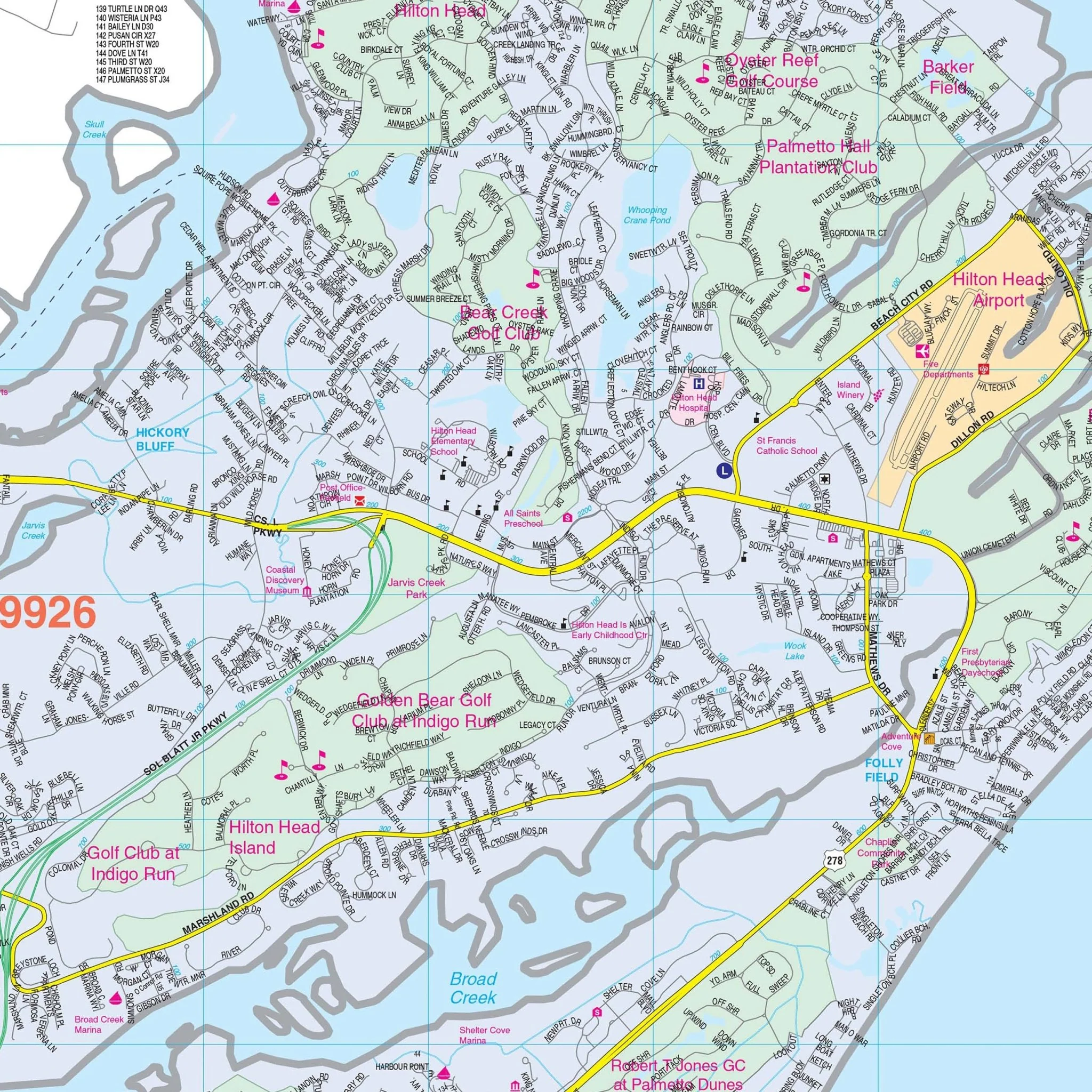
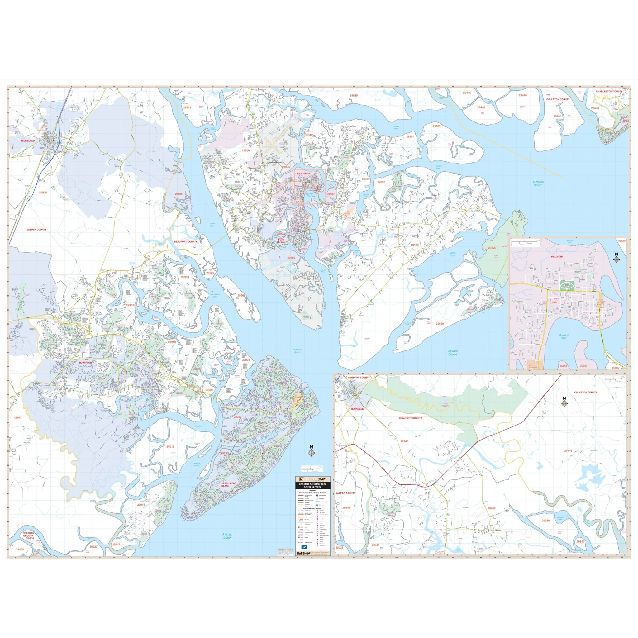
The Hilton Head and Beaufort County, SC Wall Map provides complete street detail for the area of coverage, which includes all of Beaufort County. Key features of the map include airports, block numbers, cemeteries, city limits, educational institutions, fire and police stations, golf and country clubs, government buildings, hospitals, libraries, neighborhoods, points of interest, post offices, railroads, recreational parks, shopping centers, streets and highways, water features, and ZIP code boundaries. The map offers valuable information for residents and visitors alike.
Size: 73" x 56"
Published: 2016
Original: $149.99
-70%$149.99
$45.00Product Information
Product Information
Shipping & Returns
Shipping & Returns
Description
The Hilton Head and Beaufort County, SC Wall Map provides complete street detail for the area of coverage, which includes all of Beaufort County. Key features of the map include airports, block numbers, cemeteries, city limits, educational institutions, fire and police stations, golf and country clubs, government buildings, hospitals, libraries, neighborhoods, points of interest, post offices, railroads, recreational parks, shopping centers, streets and highways, water features, and ZIP code boundaries. The map offers valuable information for residents and visitors alike.
Size: 73" x 56"
Published: 2016