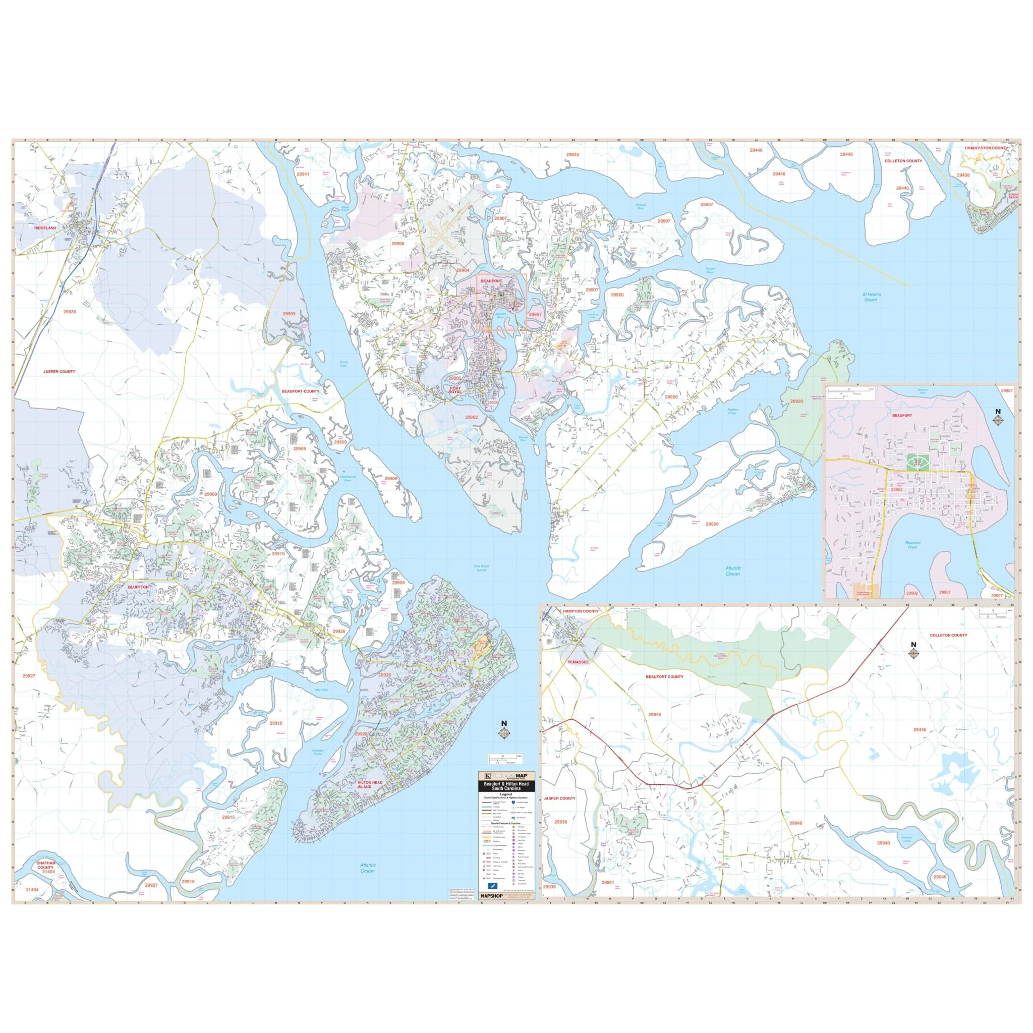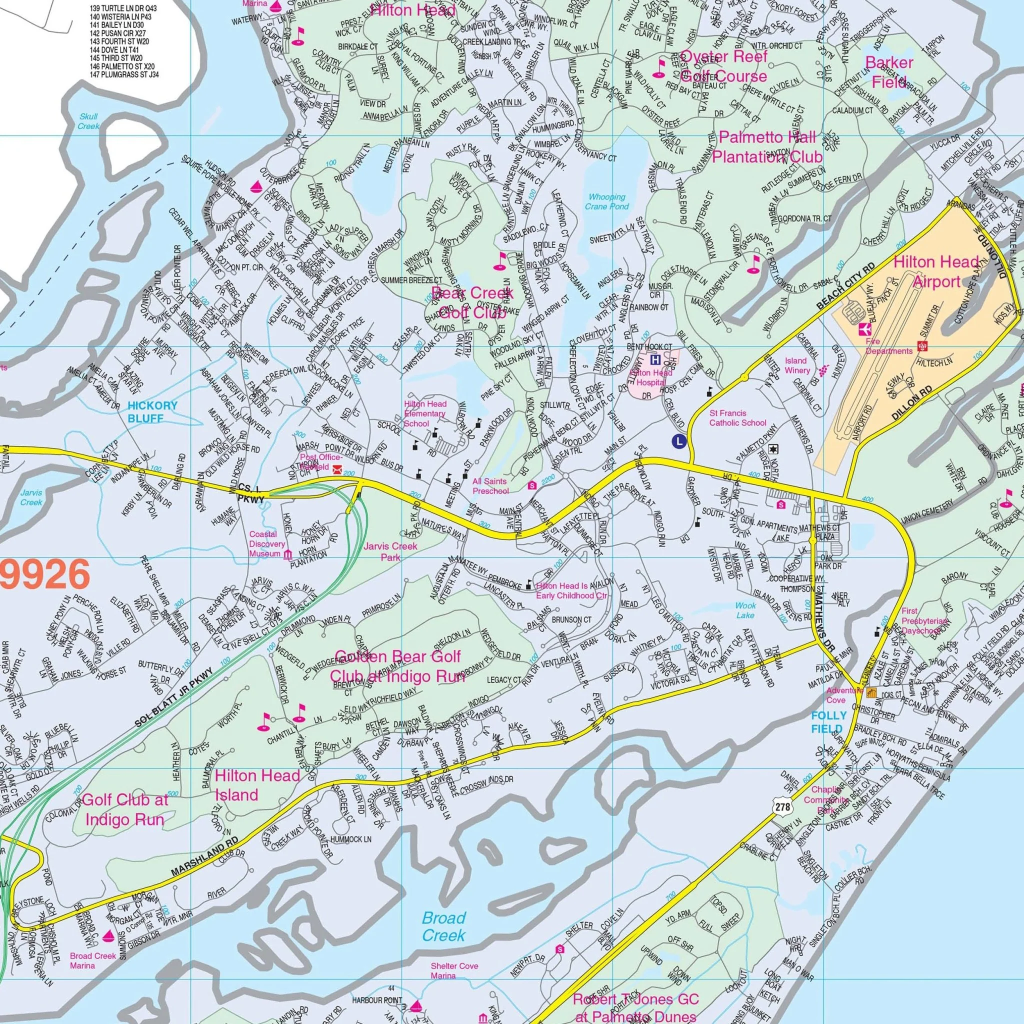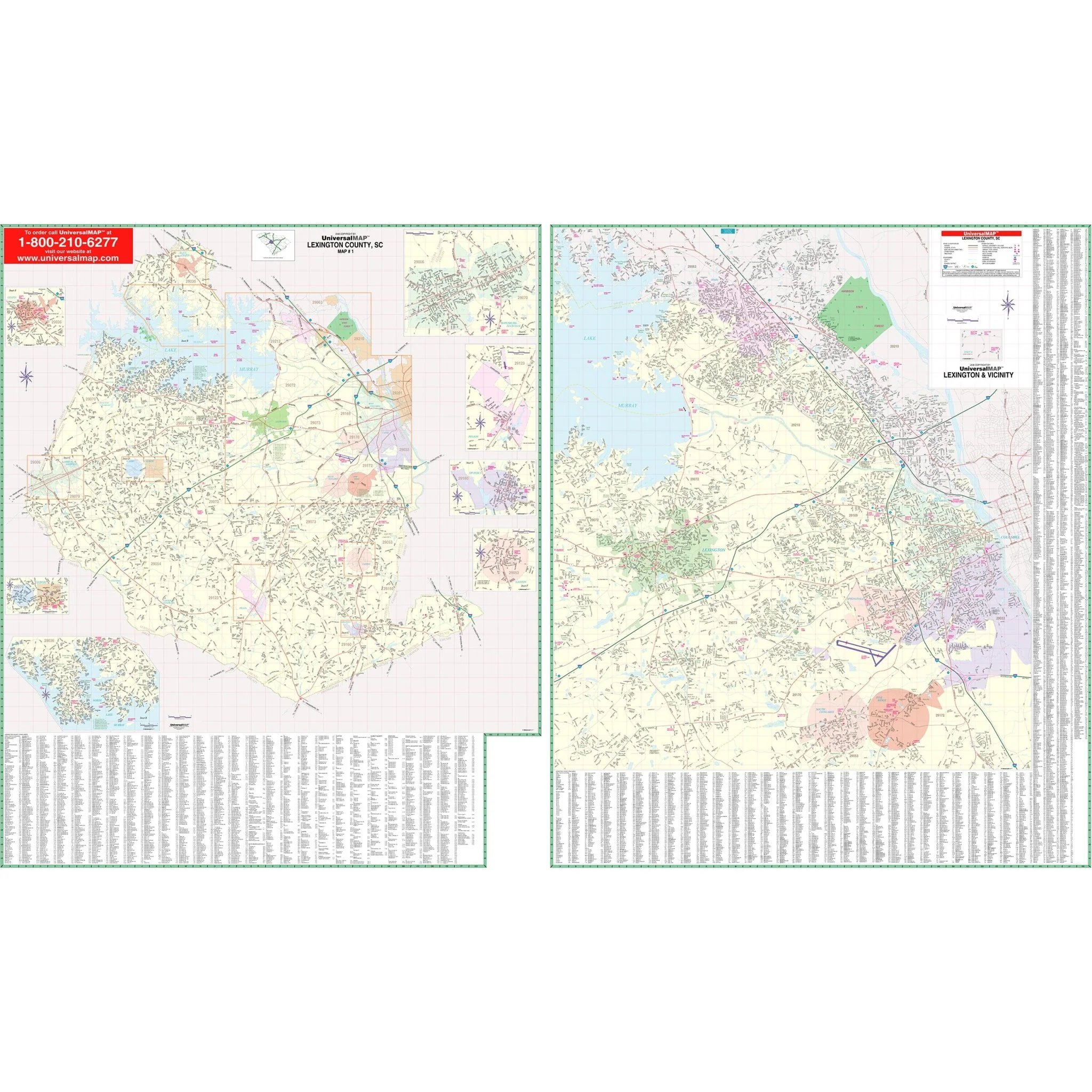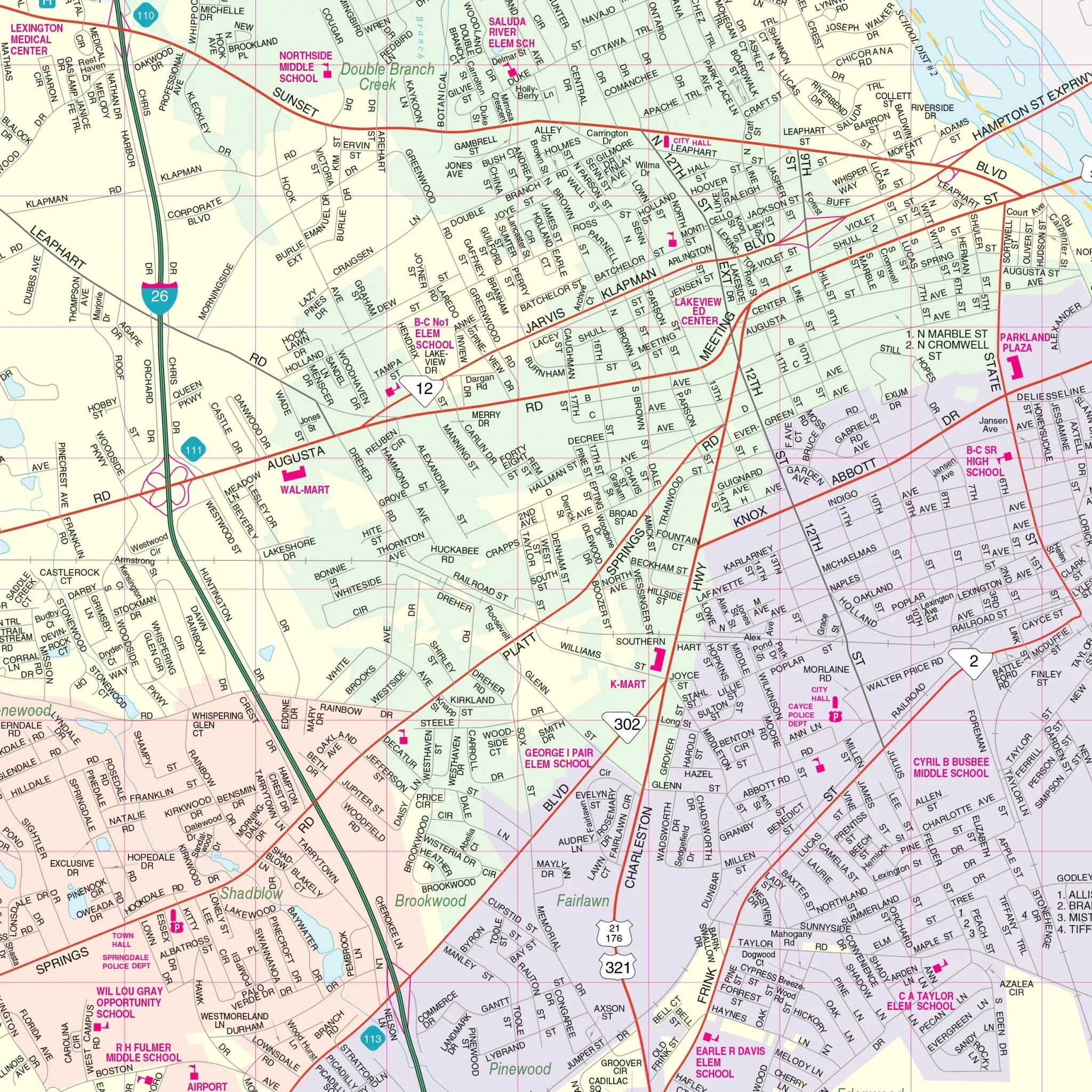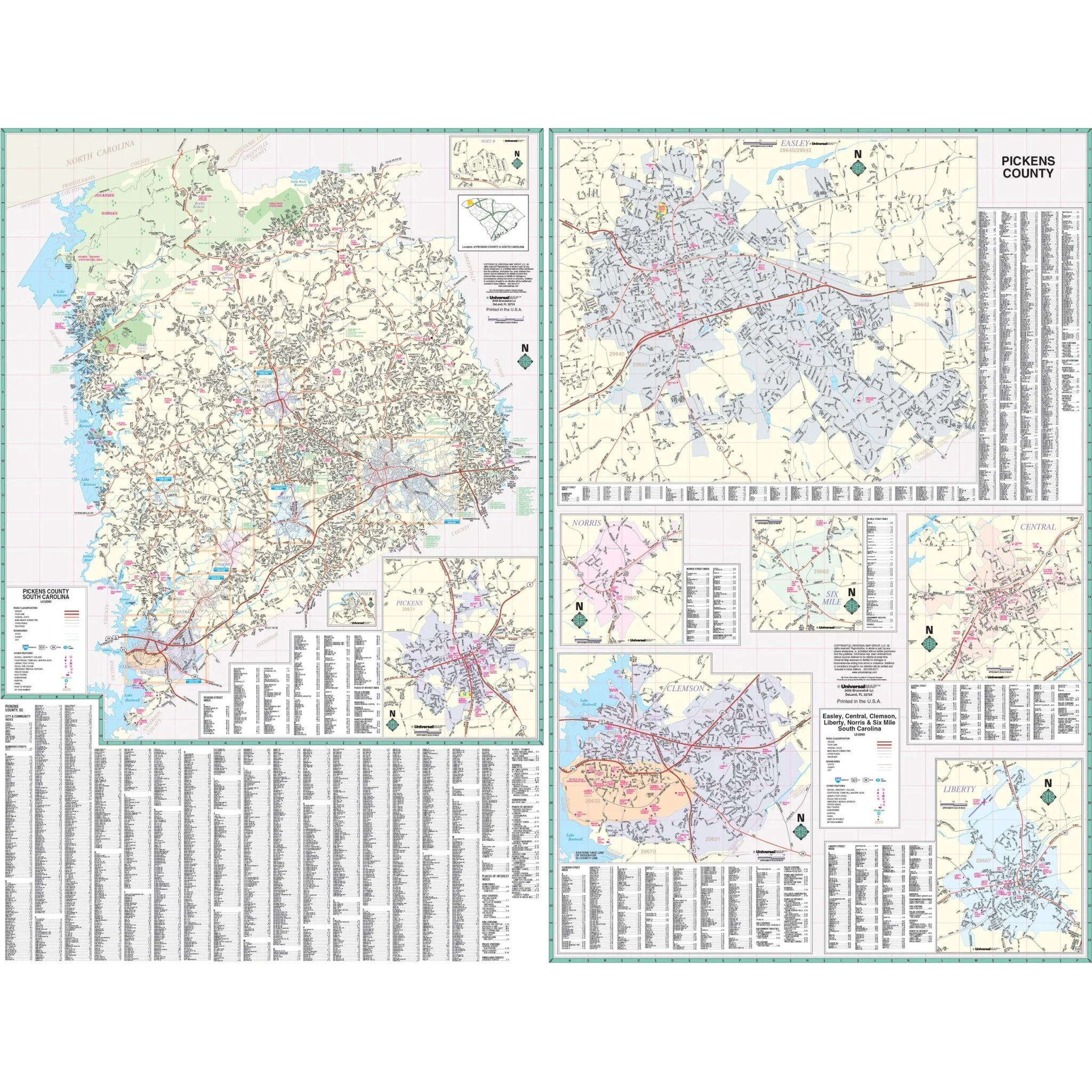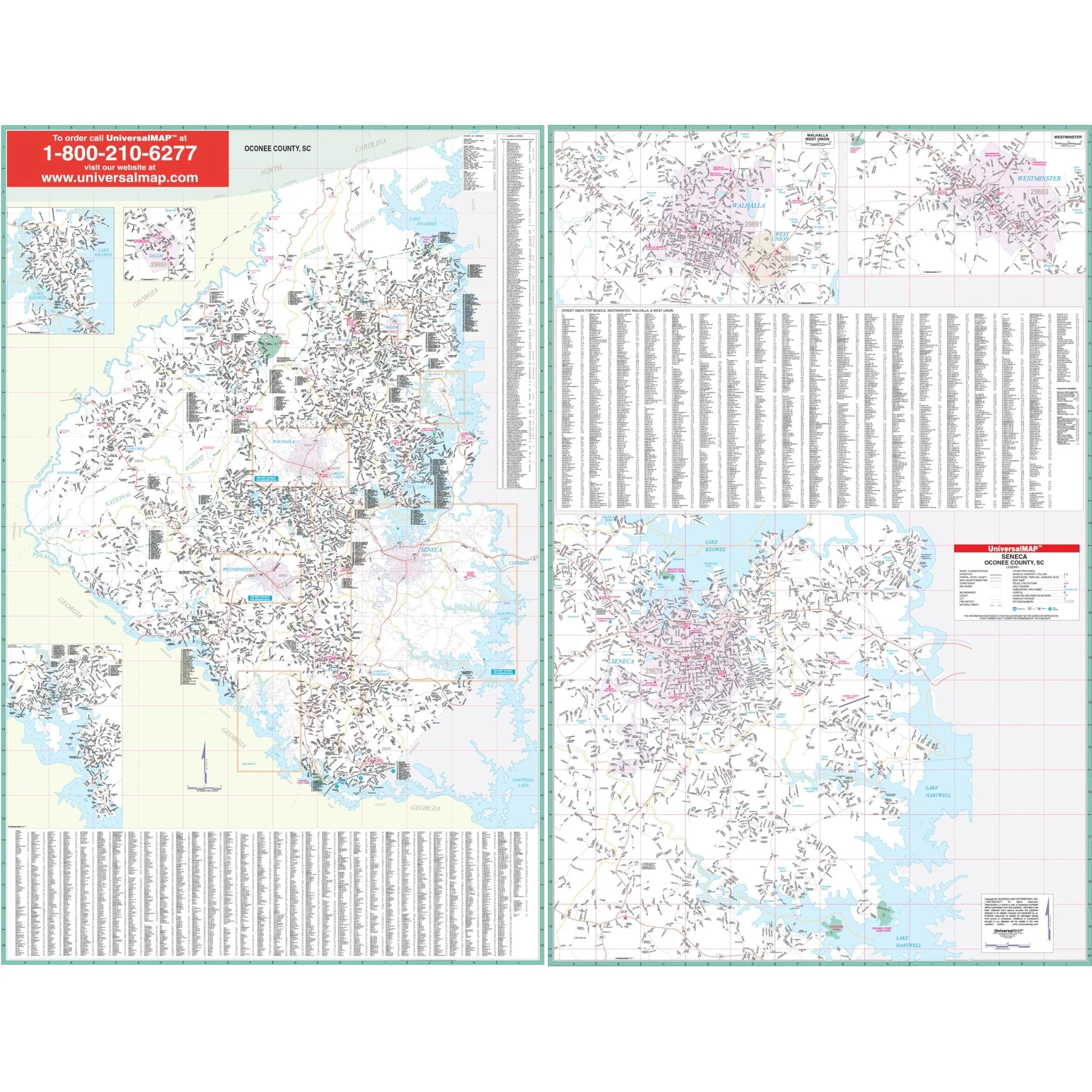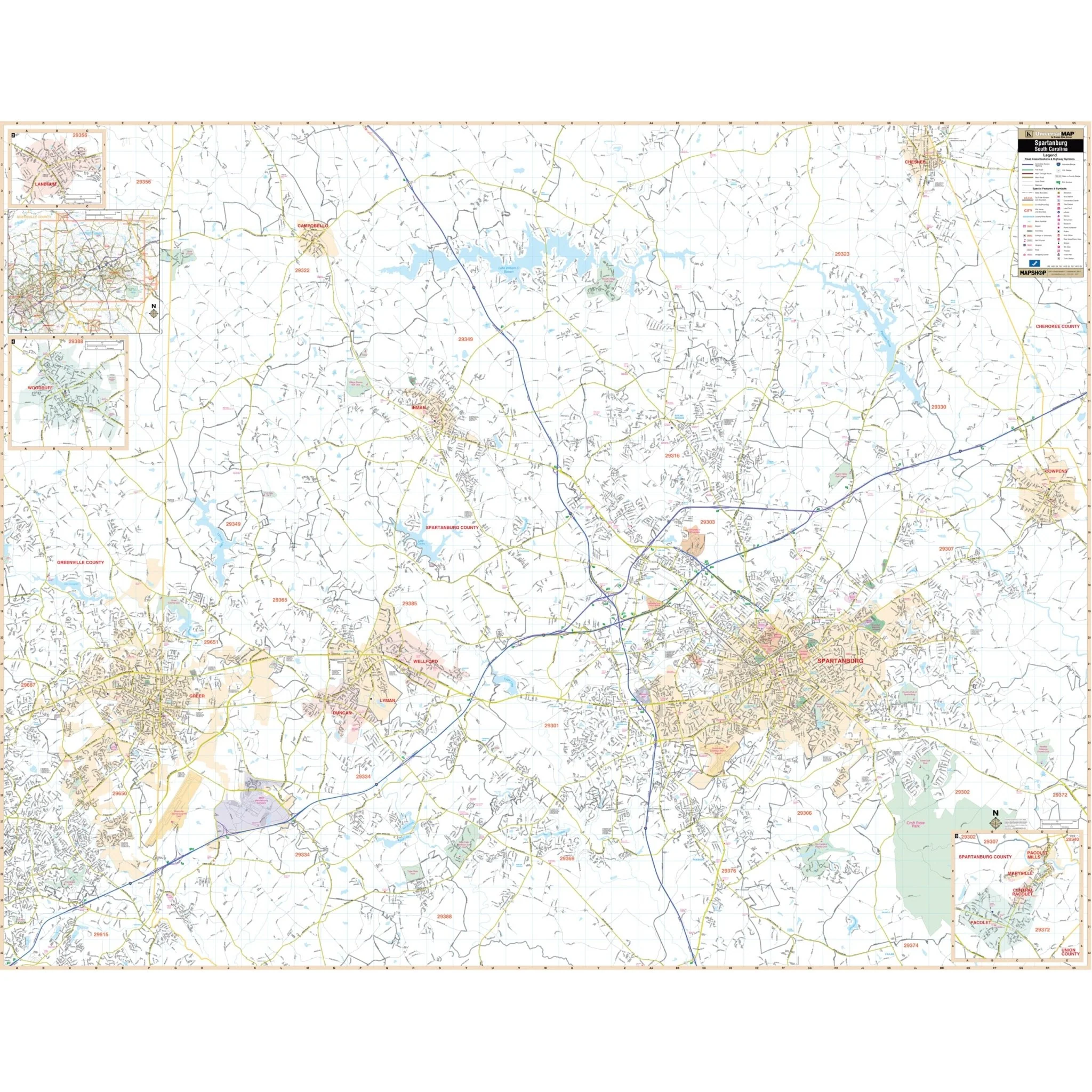
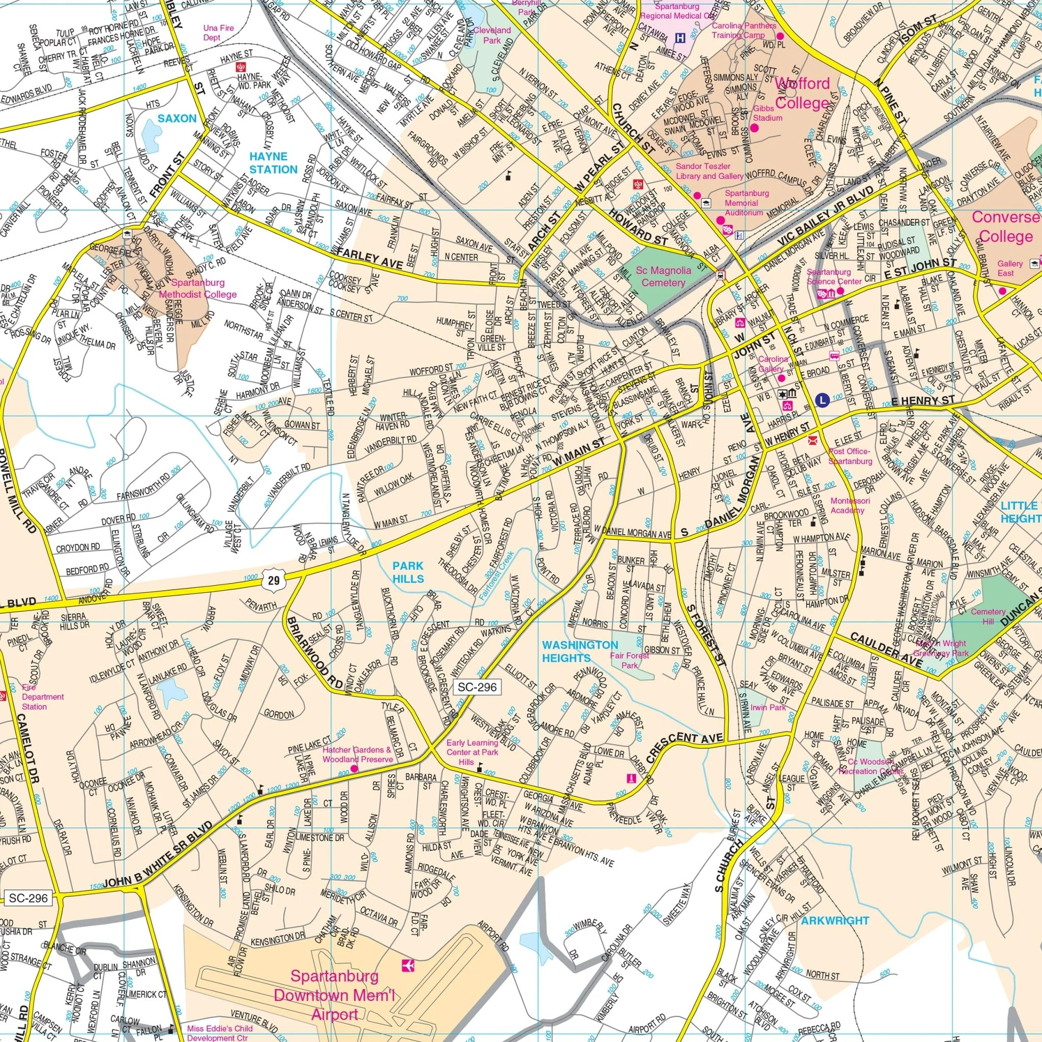


Spartanburg, SC Wall Map
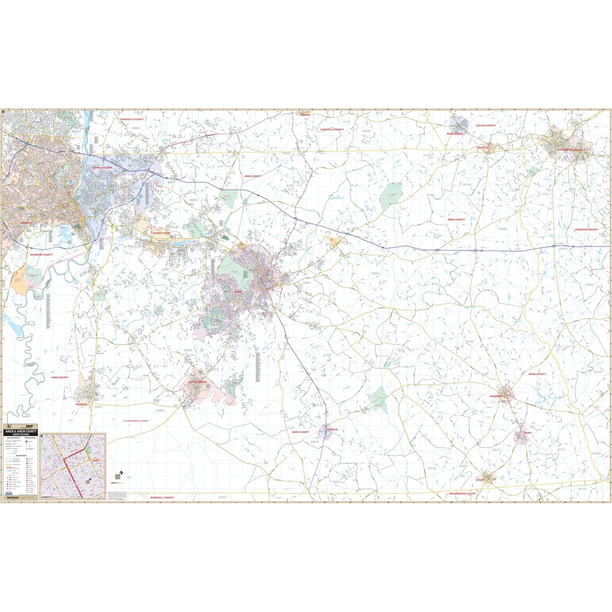
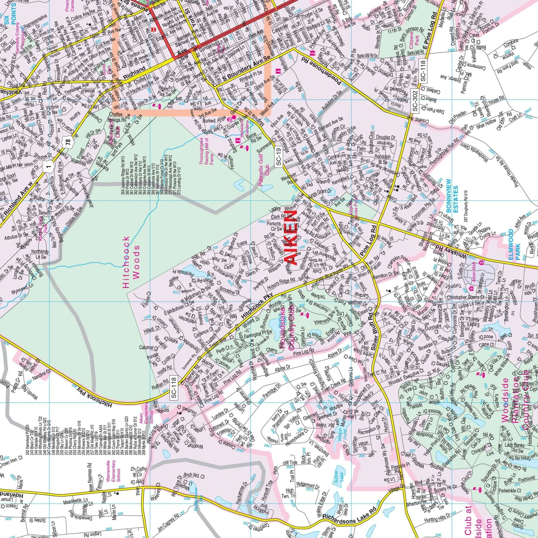
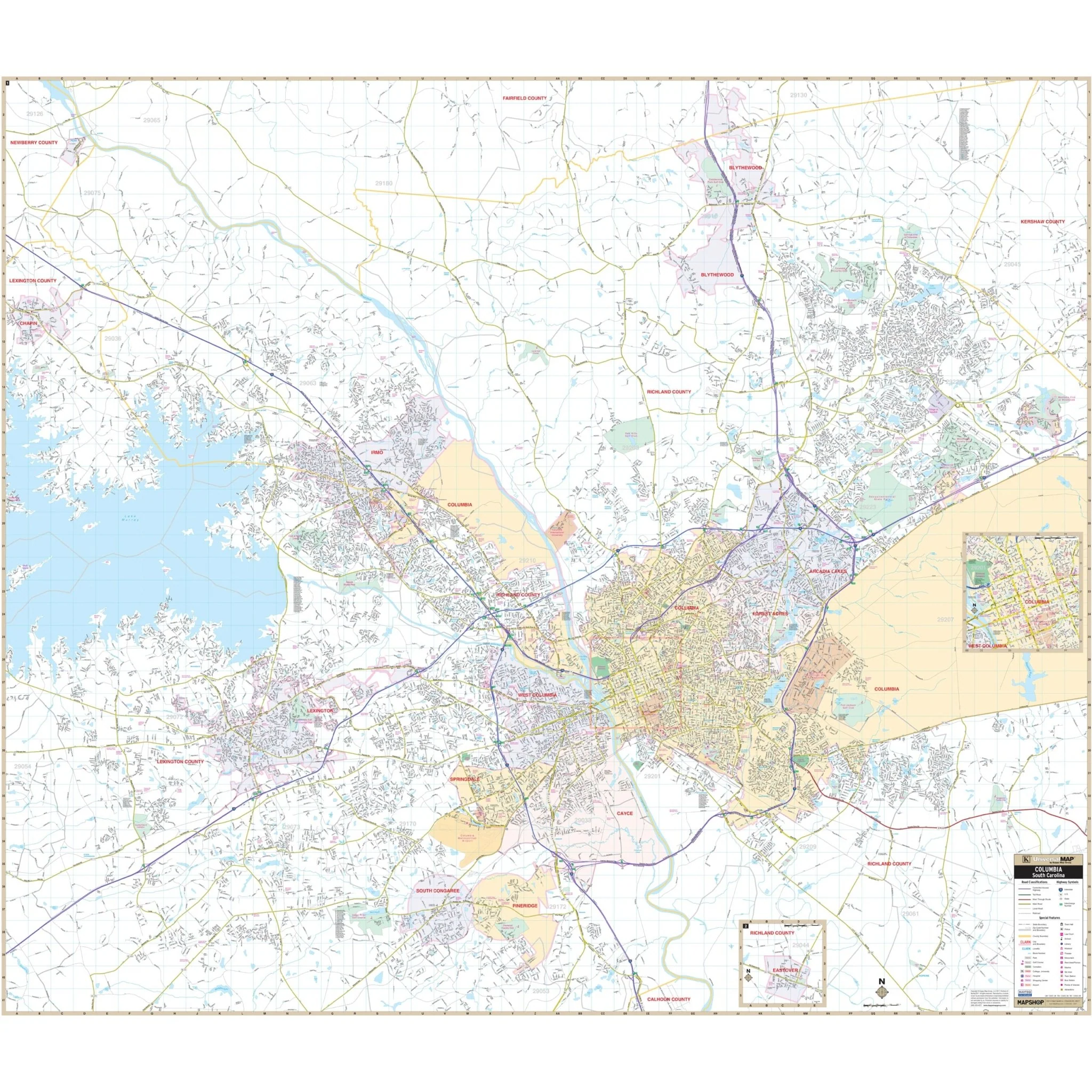
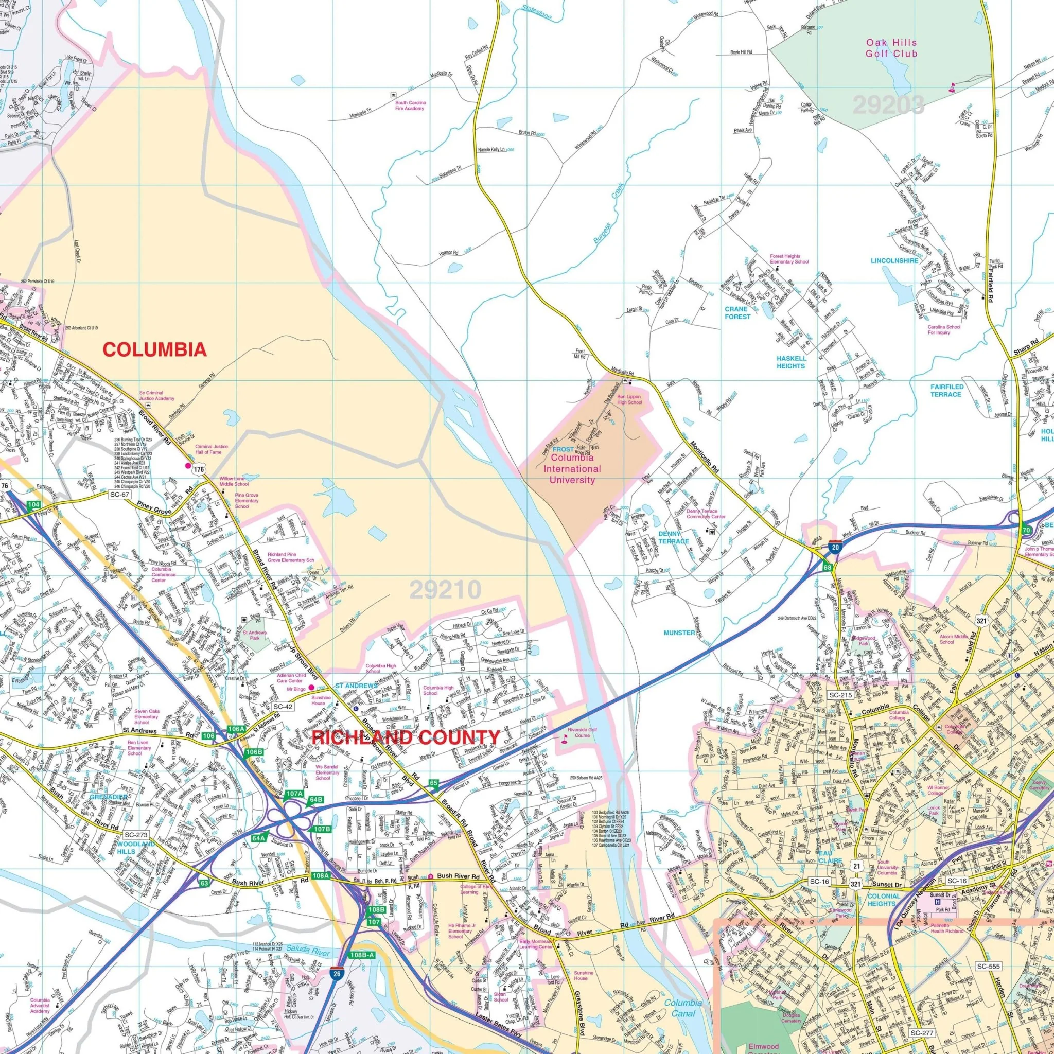
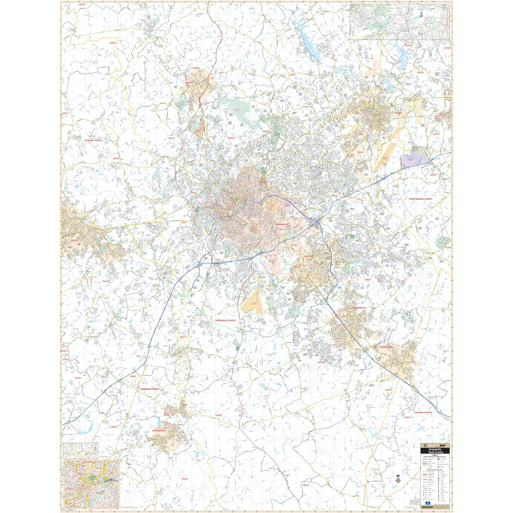
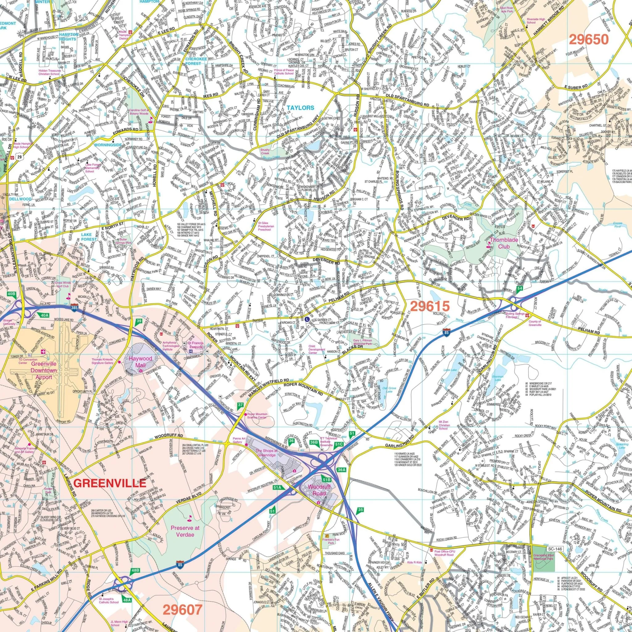
The Spartanburg, SC Wall Map provides comprehensive street detail for the region, with coverage extending to the following boundaries:
- North to Campobello and Chesnee
- South to the intersection of I-26 and US 221
- East to Cowpens
- West to Greer, in Greenville County
The Spartanburg, SC Wall Map also includes insets of Landrum, Pacolet, Pacolet Mills, Central Pacolet, and Woodruff. It offers a wide range of details and features, including airports, block numbers, cemeteries, city limits, educational institutions, golf and country clubs, government buildings, hospitals, libraries, points of interest, police stations, railroads, recreational parks, shopping centers, streets and highways, water features, and ZIP code boundaries.
Size: 69" x 54"
Published: 2014
Original: $149.99
-70%$149.99
$45.00Product Information
Product Information
Shipping & Returns
Shipping & Returns
Description
The Spartanburg, SC Wall Map provides comprehensive street detail for the region, with coverage extending to the following boundaries:
- North to Campobello and Chesnee
- South to the intersection of I-26 and US 221
- East to Cowpens
- West to Greer, in Greenville County
The Spartanburg, SC Wall Map also includes insets of Landrum, Pacolet, Pacolet Mills, Central Pacolet, and Woodruff. It offers a wide range of details and features, including airports, block numbers, cemeteries, city limits, educational institutions, golf and country clubs, government buildings, hospitals, libraries, points of interest, police stations, railroads, recreational parks, shopping centers, streets and highways, water features, and ZIP code boundaries.
Size: 69" x 54"
Published: 2014