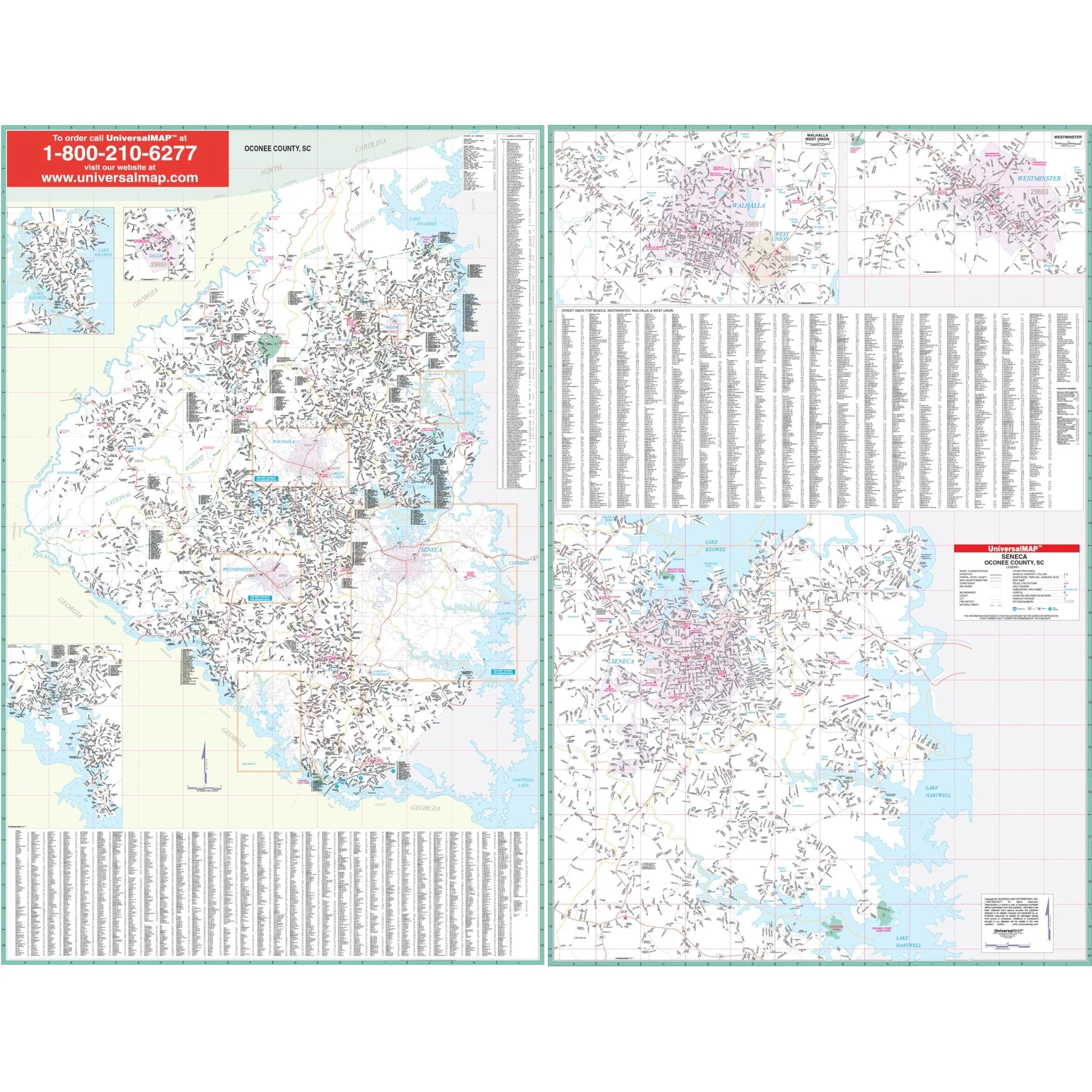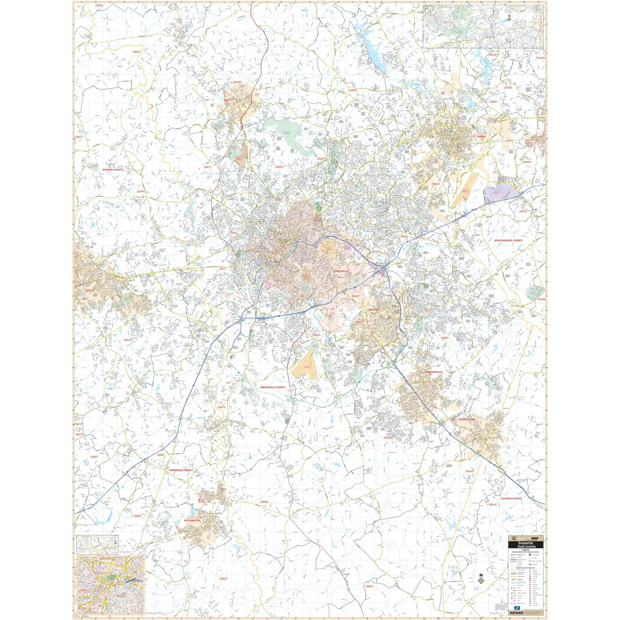


Greenville, SC Wall Map
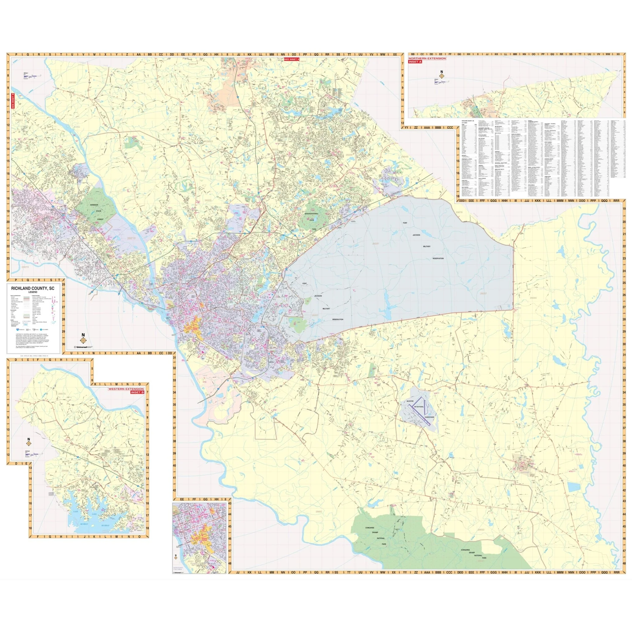
The Greenville and Pitt County, North Carolina Wall Map covers the following area:
- North: Approximately 0.25 miles north of the junction of US 13 and SR 903
- South: Includes all of Winterville
- East: Extends up to 2 miles beyond Greenville Blvd, Bradford Creek Golf Course
- West: Extends to the junction of US 264 and Business 264
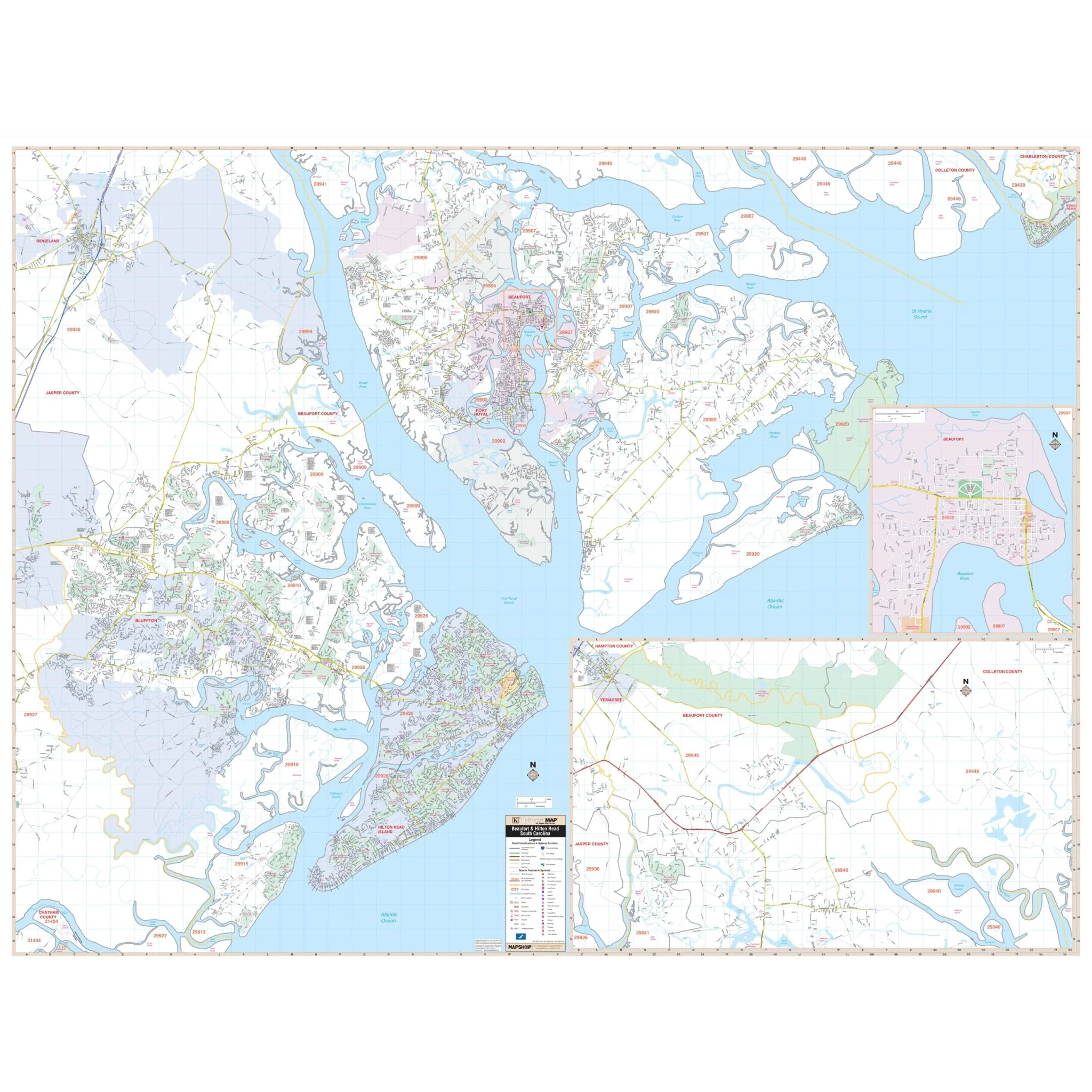
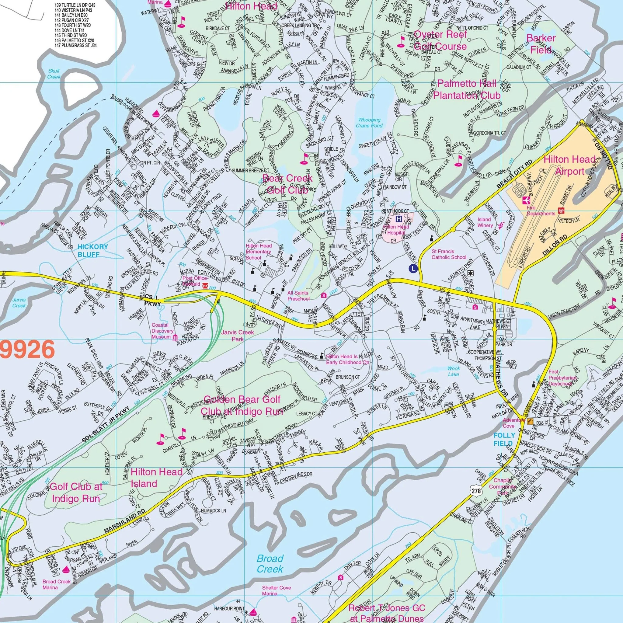
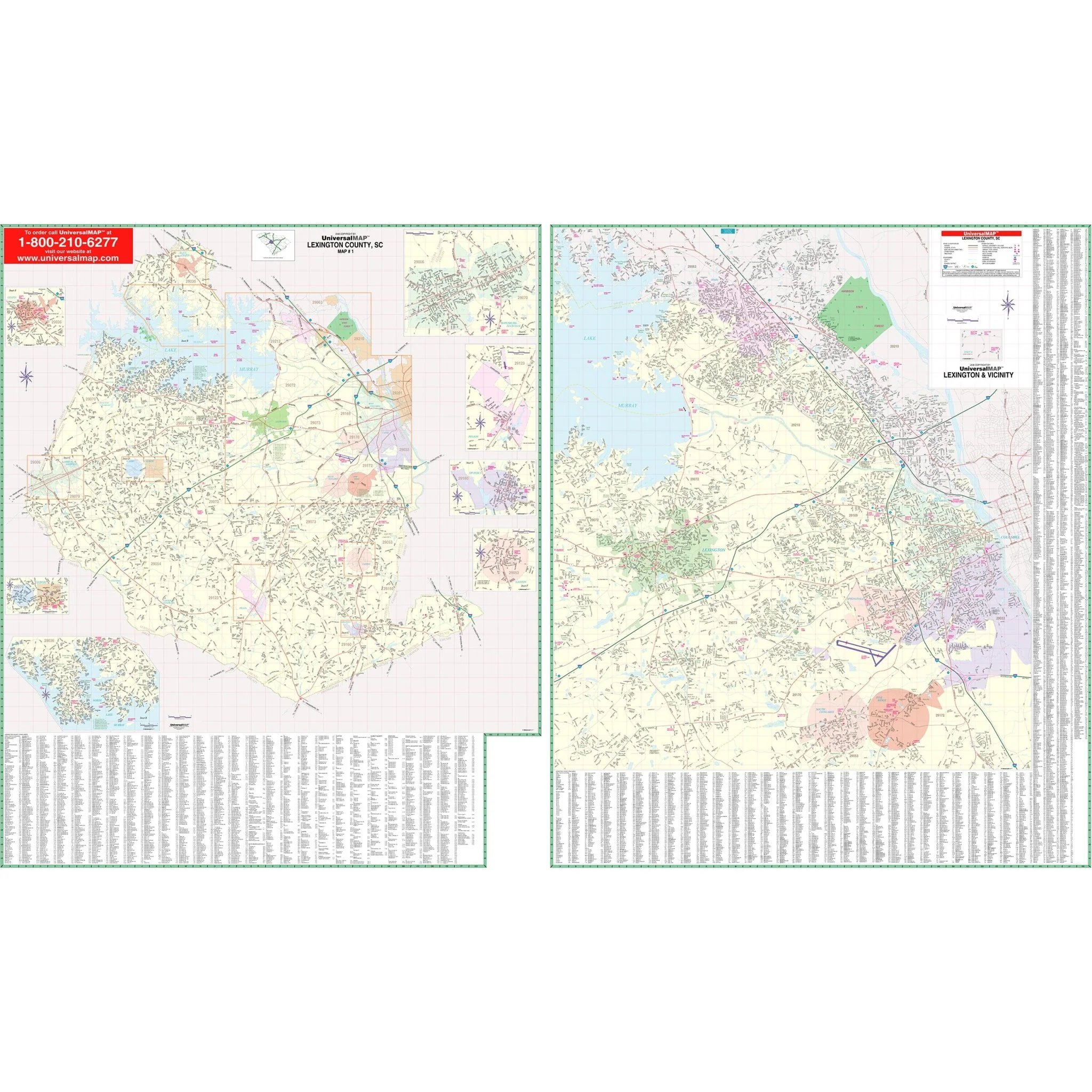
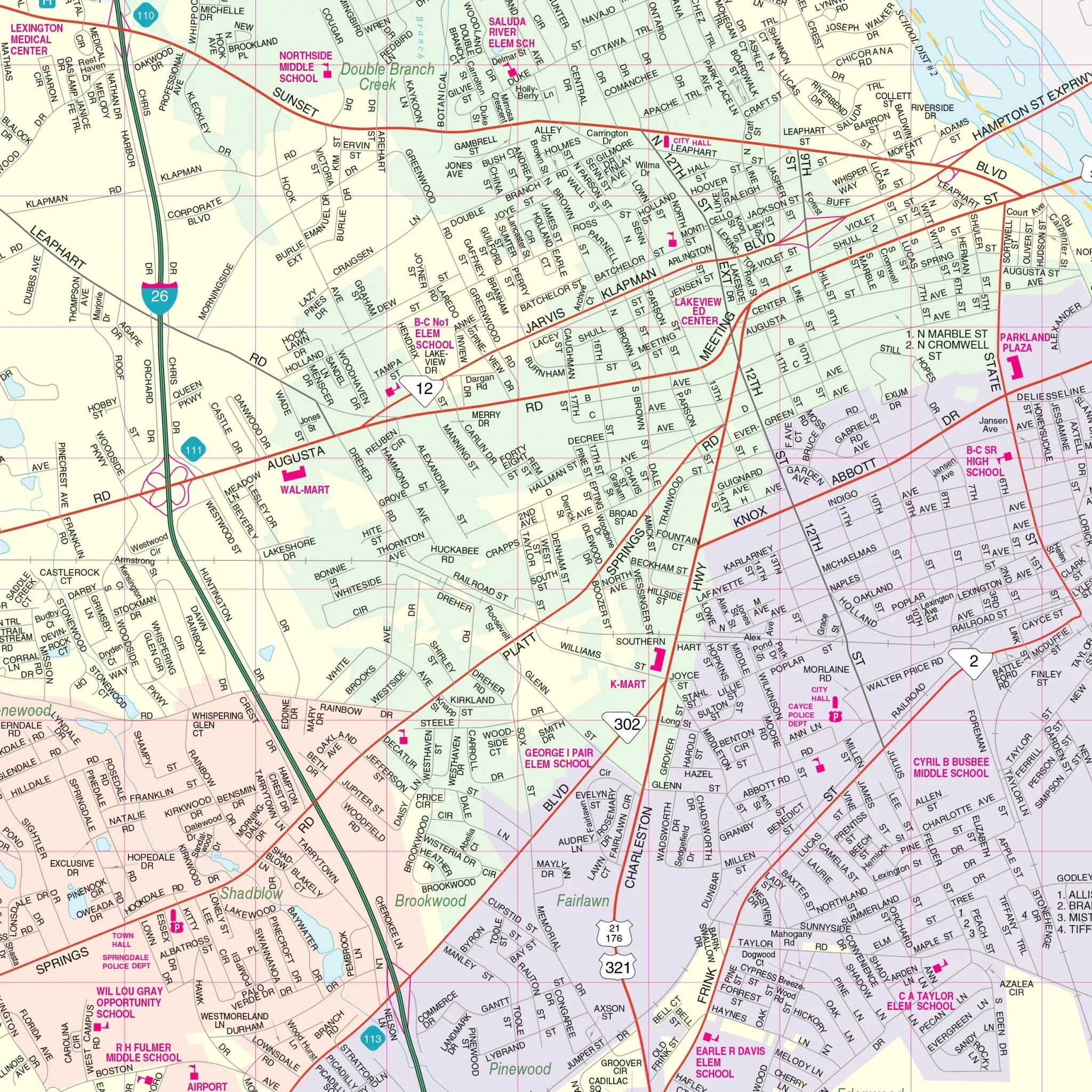
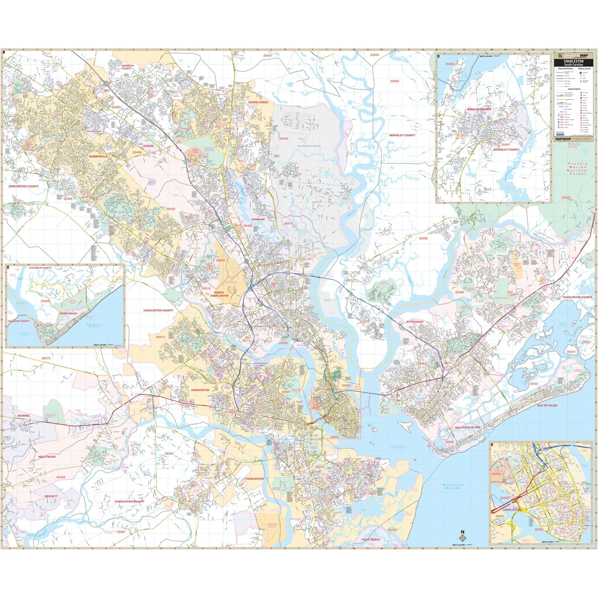
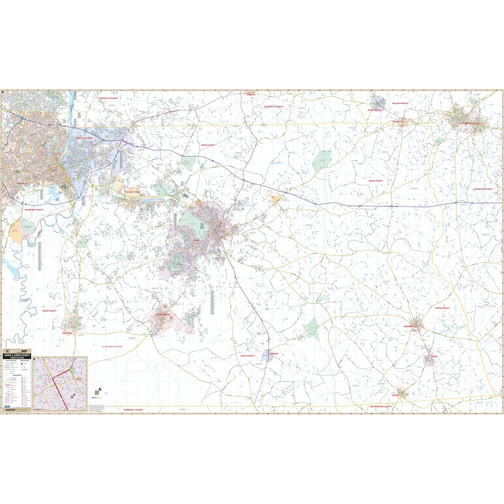
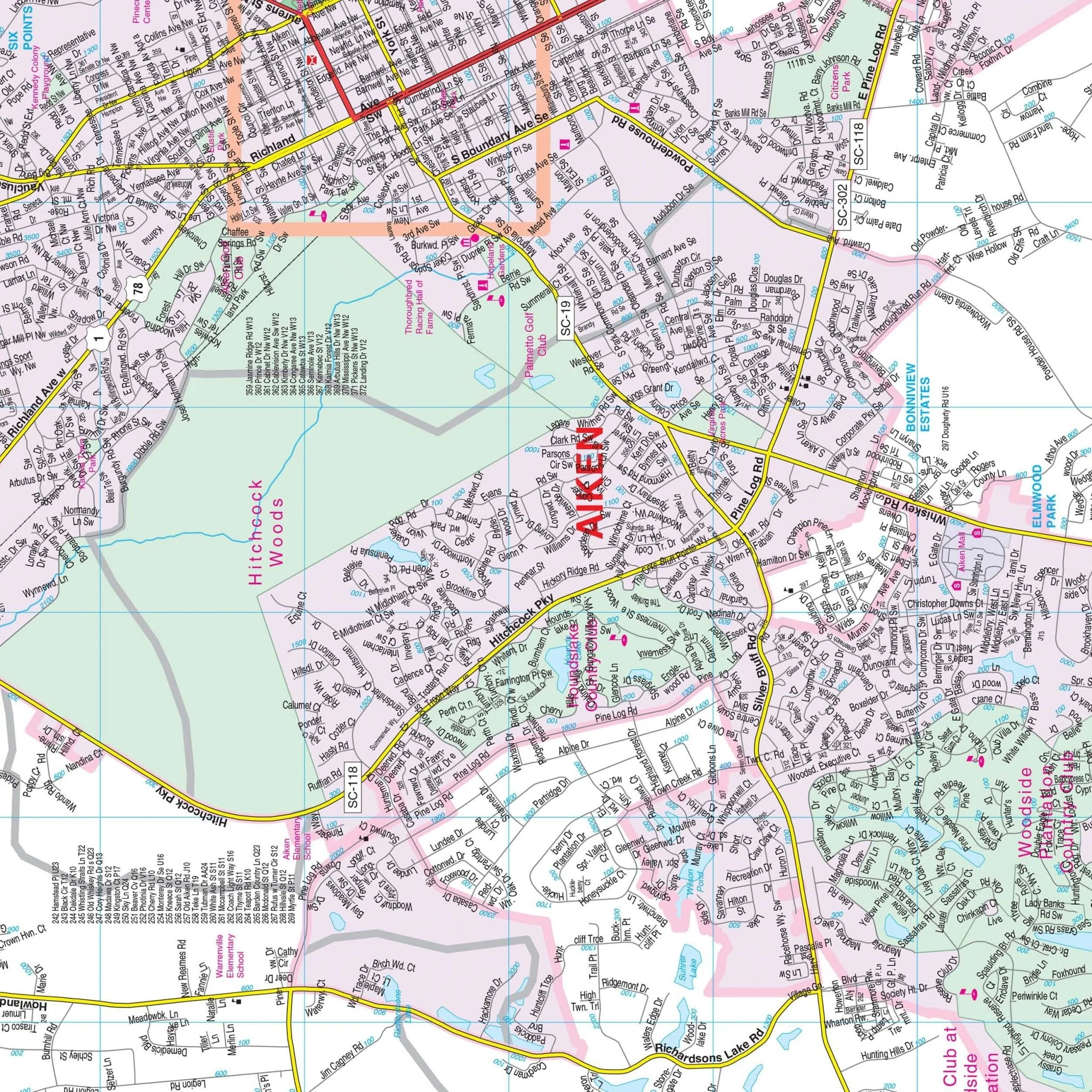
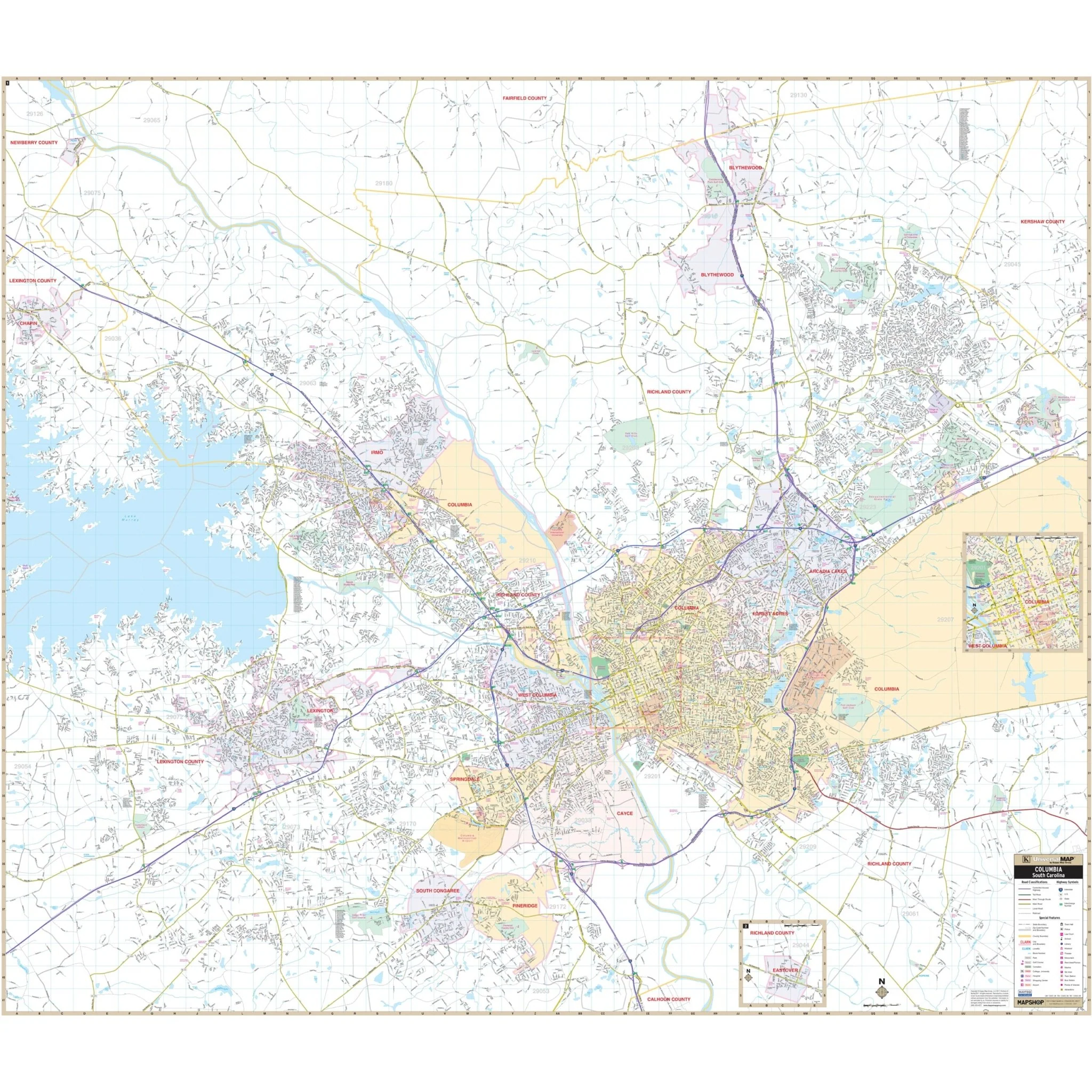
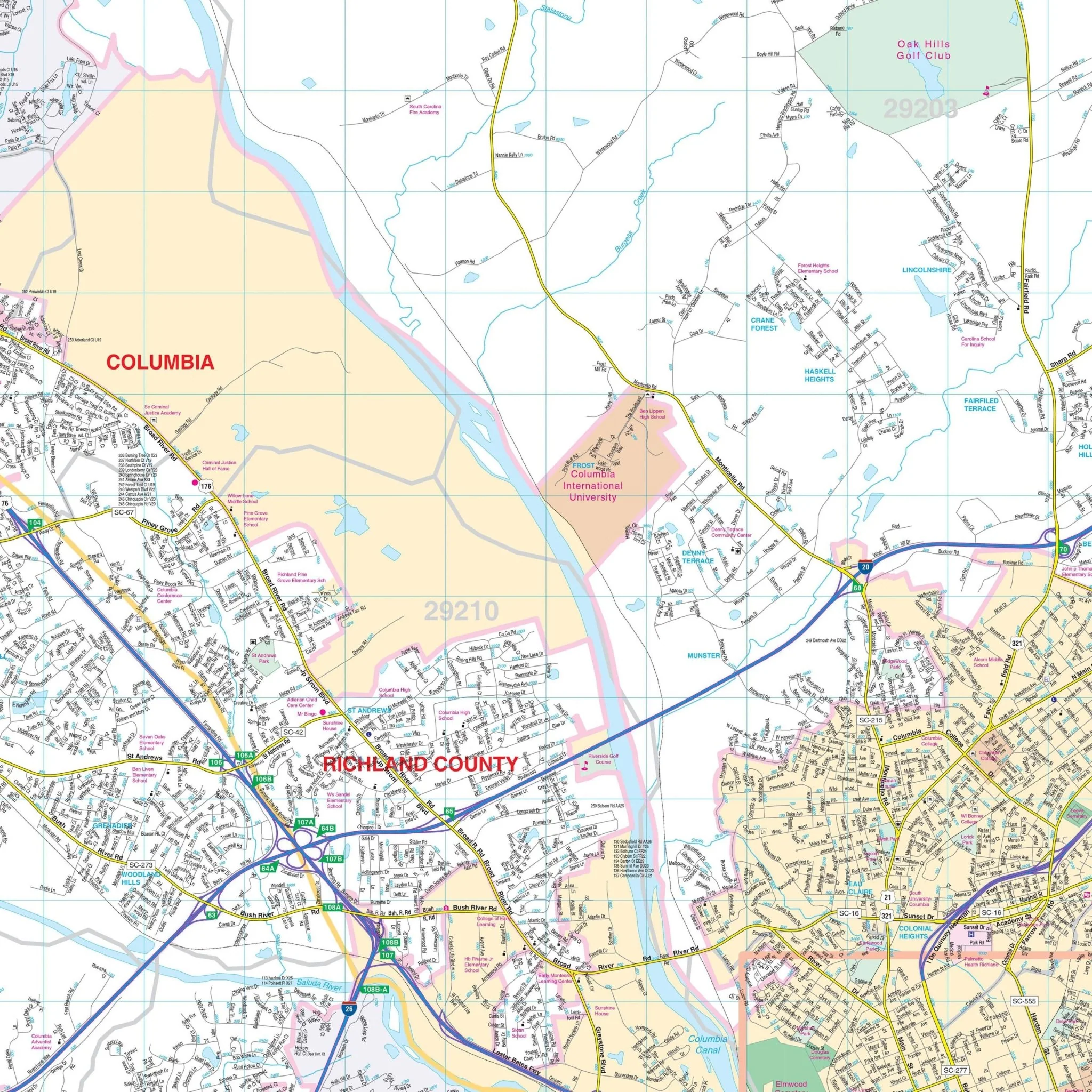
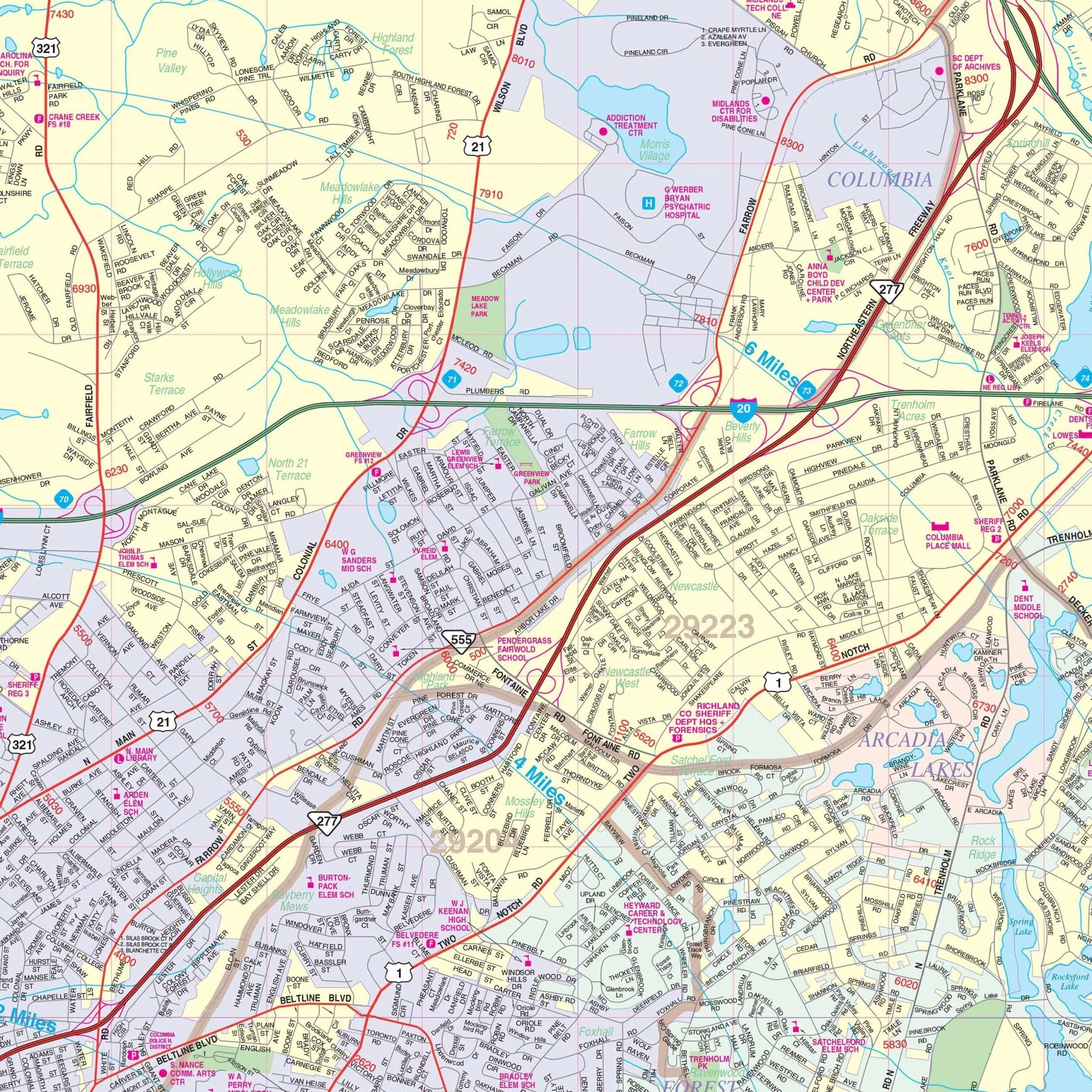
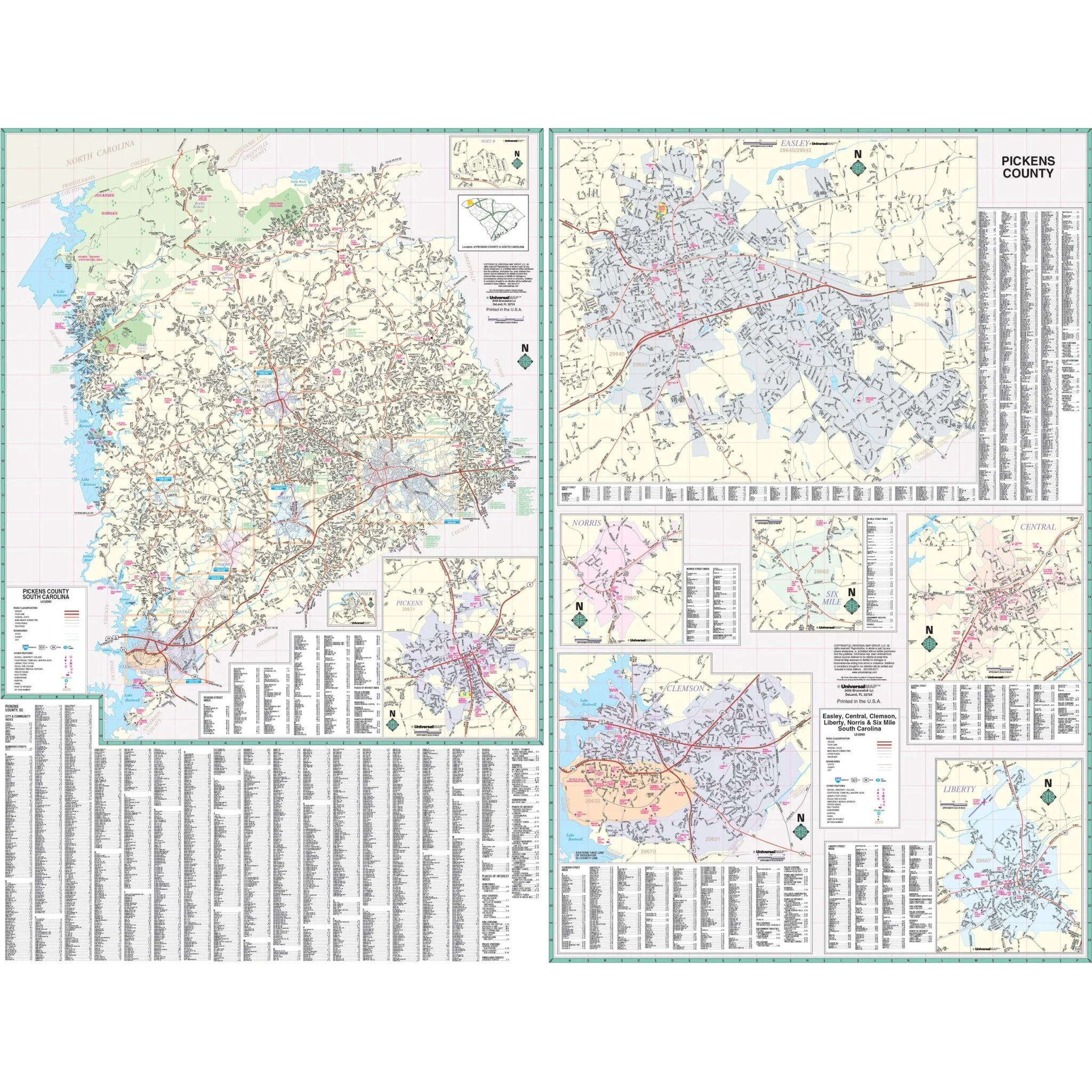
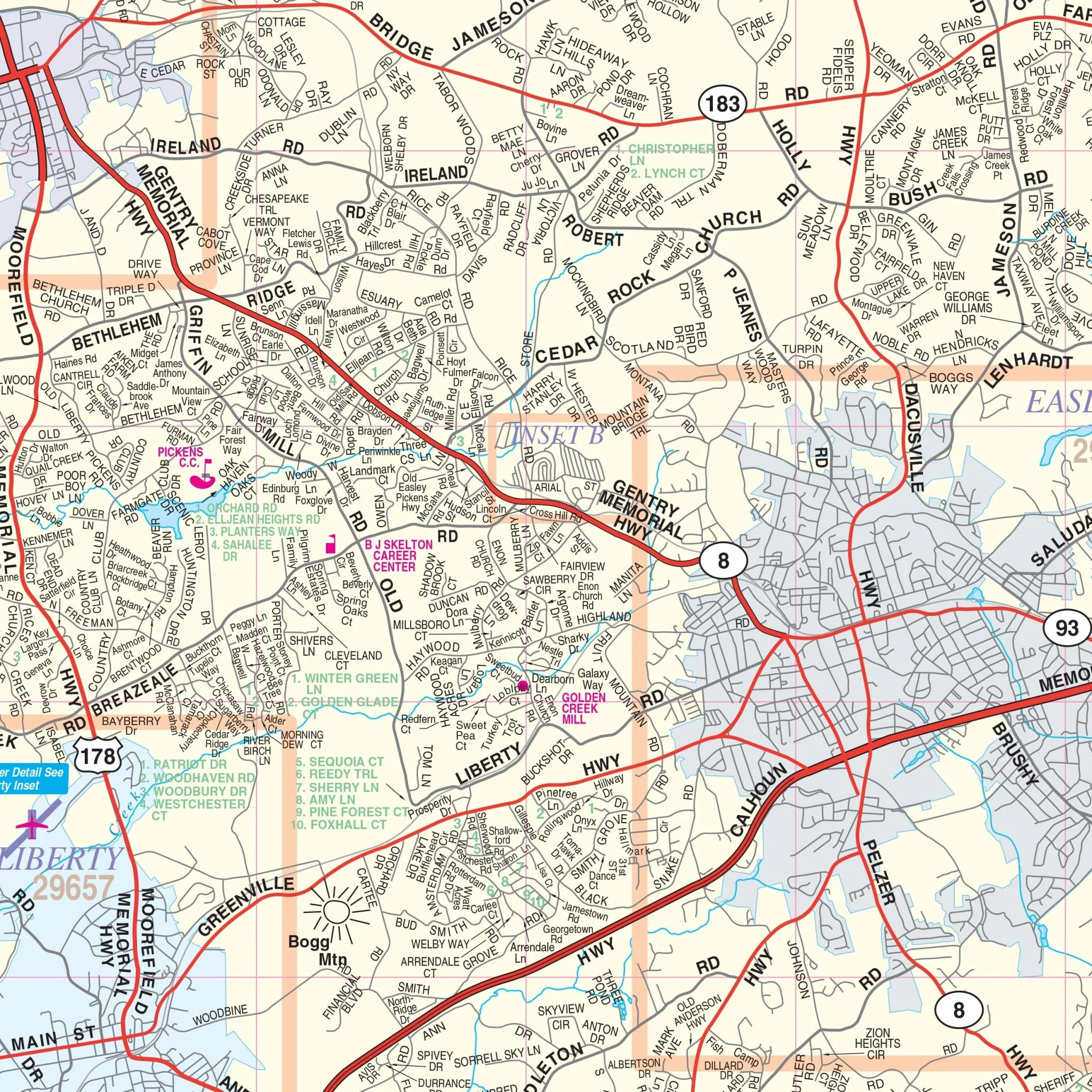
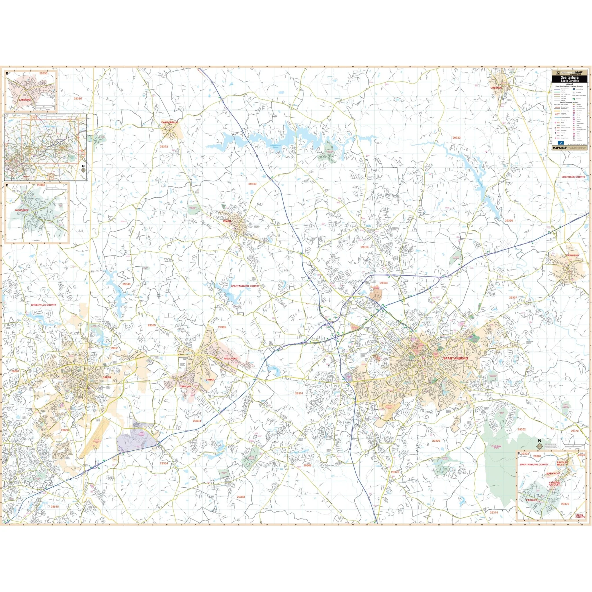
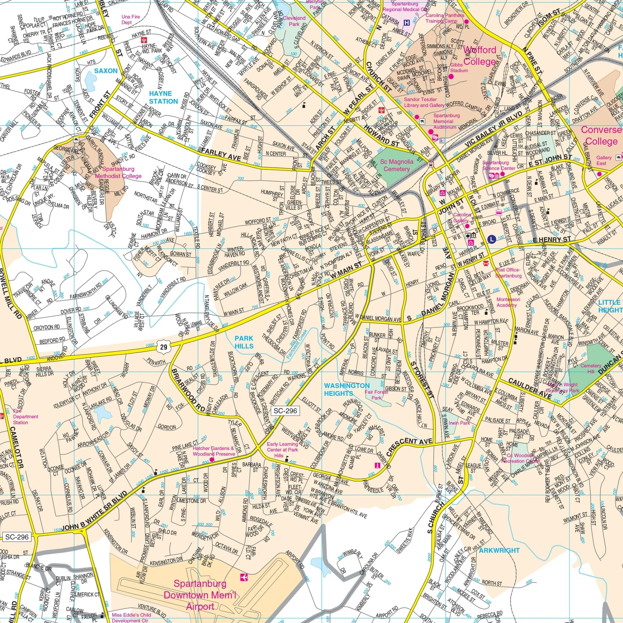
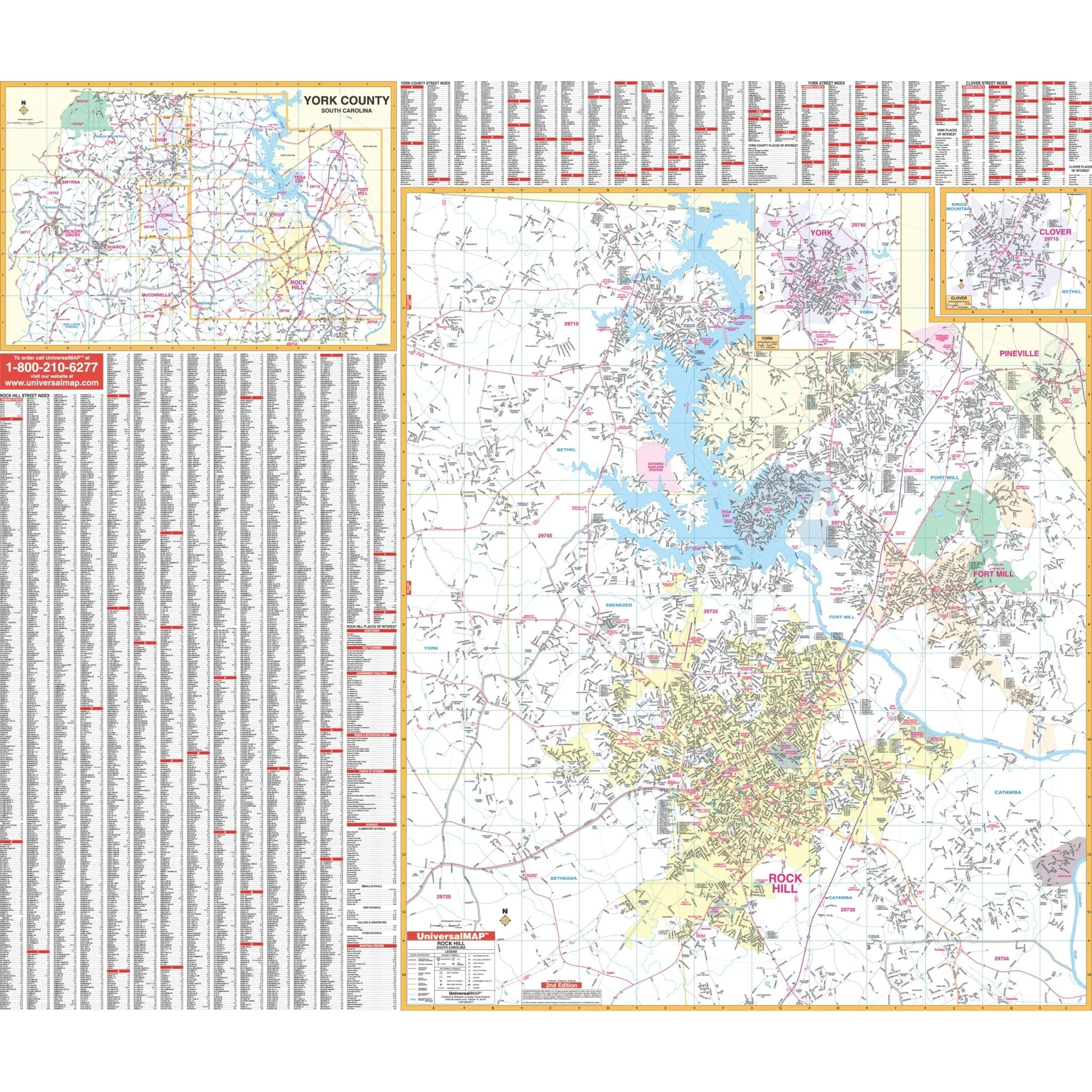
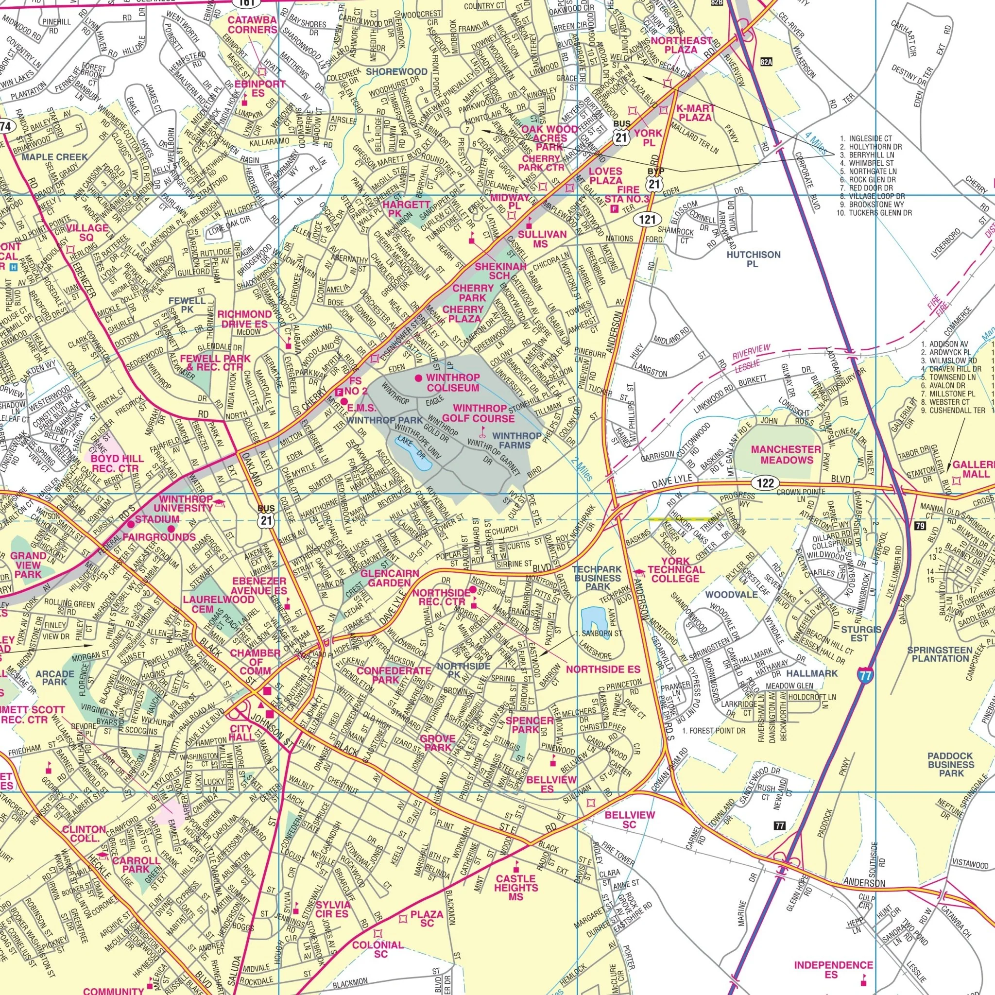
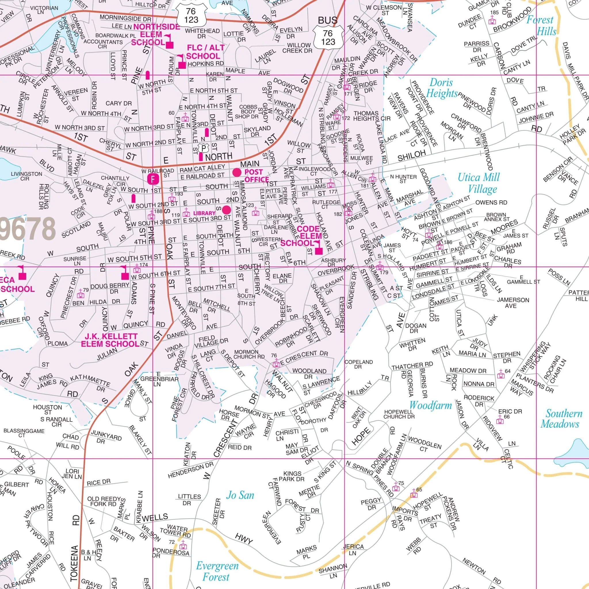
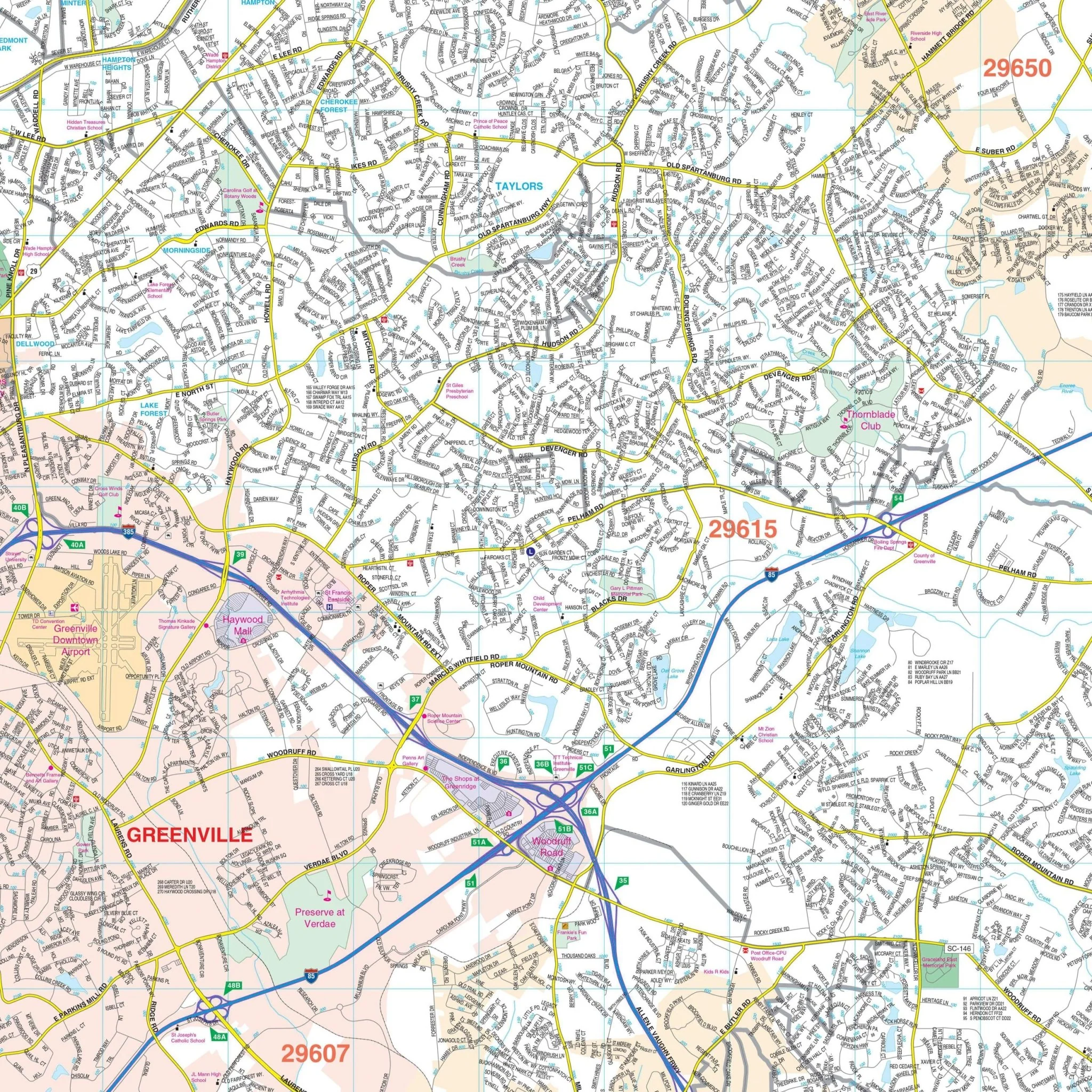
This map provides complete street detail with various scales for Greenville and Pitt County. It includes details such as airports, hospitals, cemeteries, railroads, post offices, longitude/latitude, all streets/highways, shopping centers, water features, recreational parks, mileage circles, school district lines, section/township/range lines, government buildings, fire/police stations, educational facilities, golf courses/country clubs, ZIP codes/boundaries, city limits/annexations, and points of interest.
Size: 57" x 74"
Published: 2015
Original: $149.99
-70%$149.99
$45.00Product Information
Product Information
Shipping & Returns
Shipping & Returns
Description
The Greenville and Pitt County, North Carolina Wall Map covers the following area:
- North: Approximately 0.25 miles north of the junction of US 13 and SR 903
- South: Includes all of Winterville
- East: Extends up to 2 miles beyond Greenville Blvd, Bradford Creek Golf Course
- West: Extends to the junction of US 264 and Business 264
This map provides complete street detail with various scales for Greenville and Pitt County. It includes details such as airports, hospitals, cemeteries, railroads, post offices, longitude/latitude, all streets/highways, shopping centers, water features, recreational parks, mileage circles, school district lines, section/township/range lines, government buildings, fire/police stations, educational facilities, golf courses/country clubs, ZIP codes/boundaries, city limits/annexations, and points of interest.
Size: 57" x 74"
Published: 2015