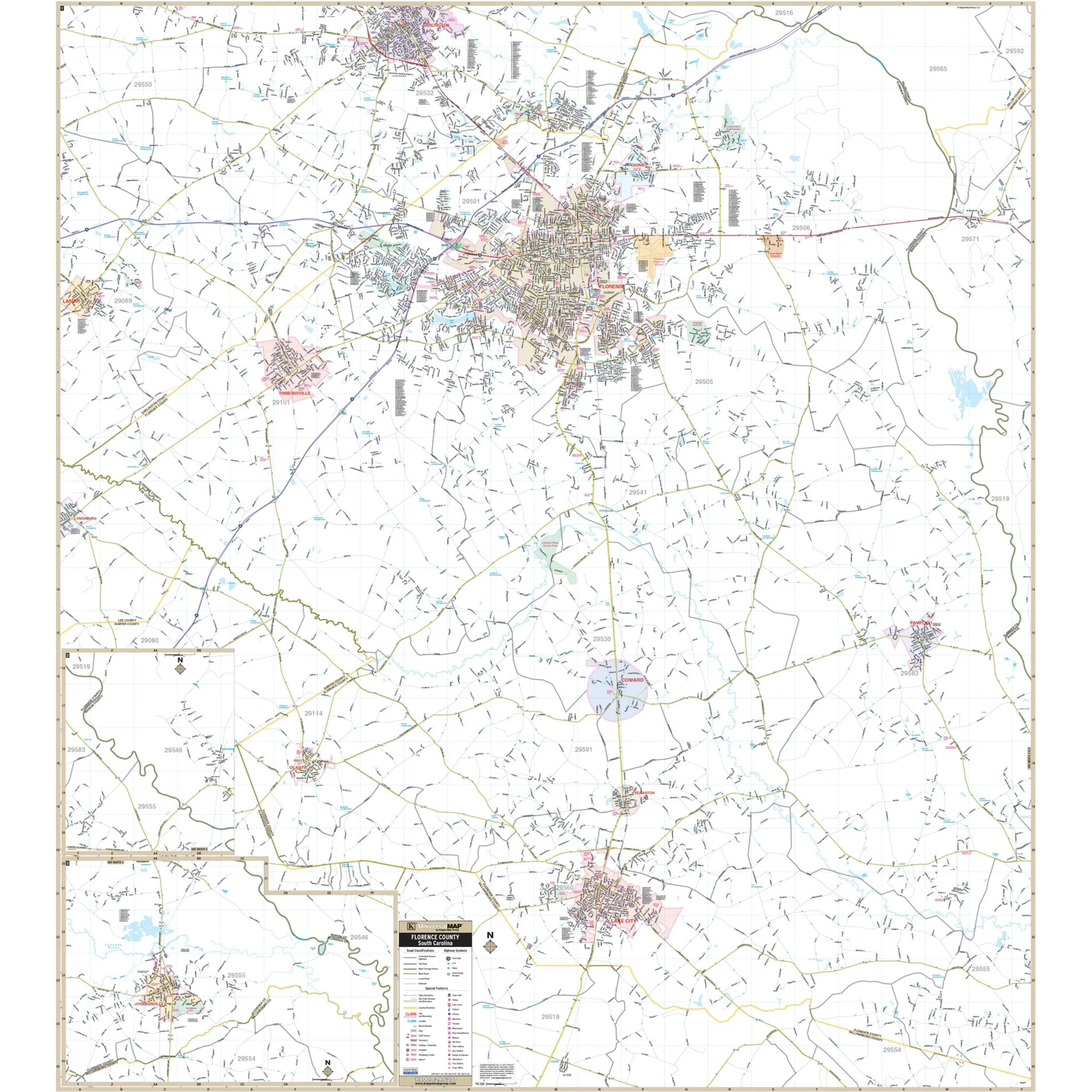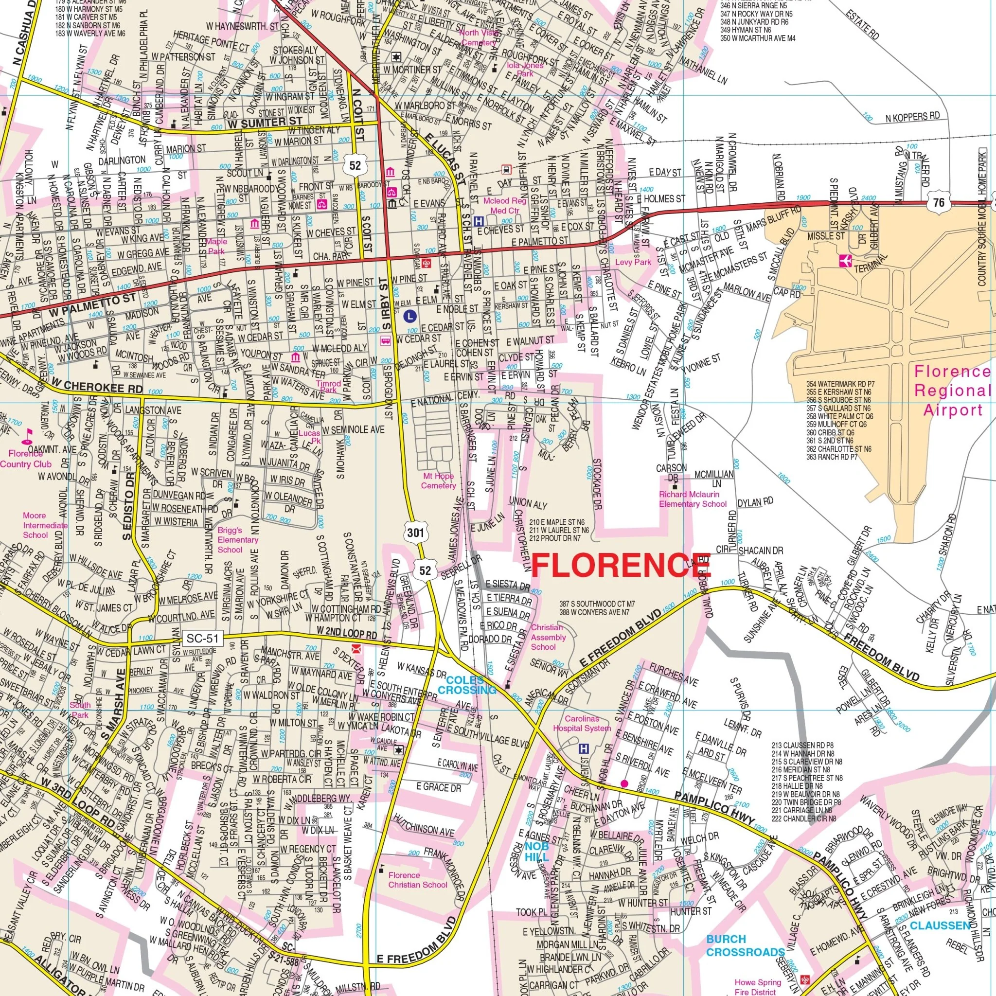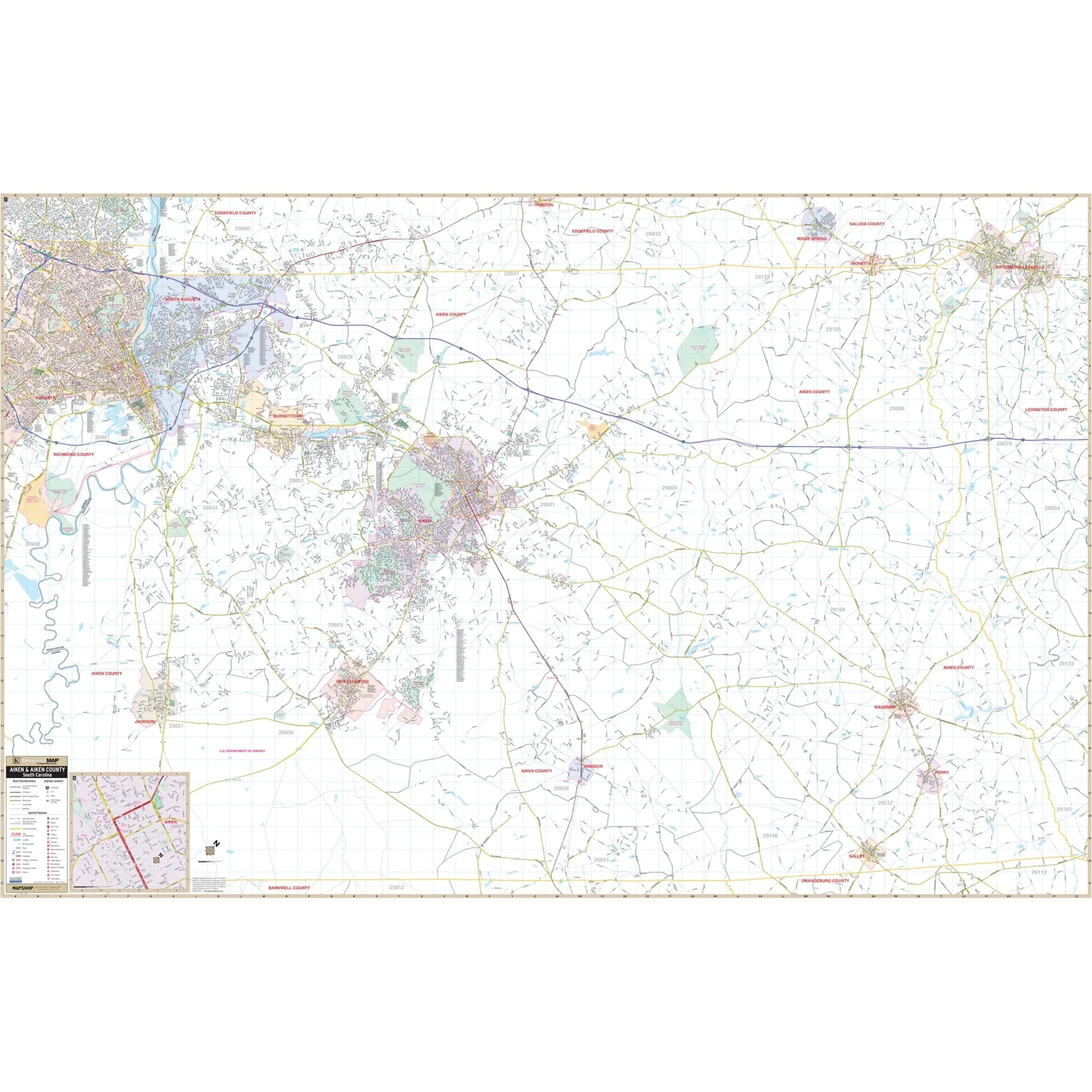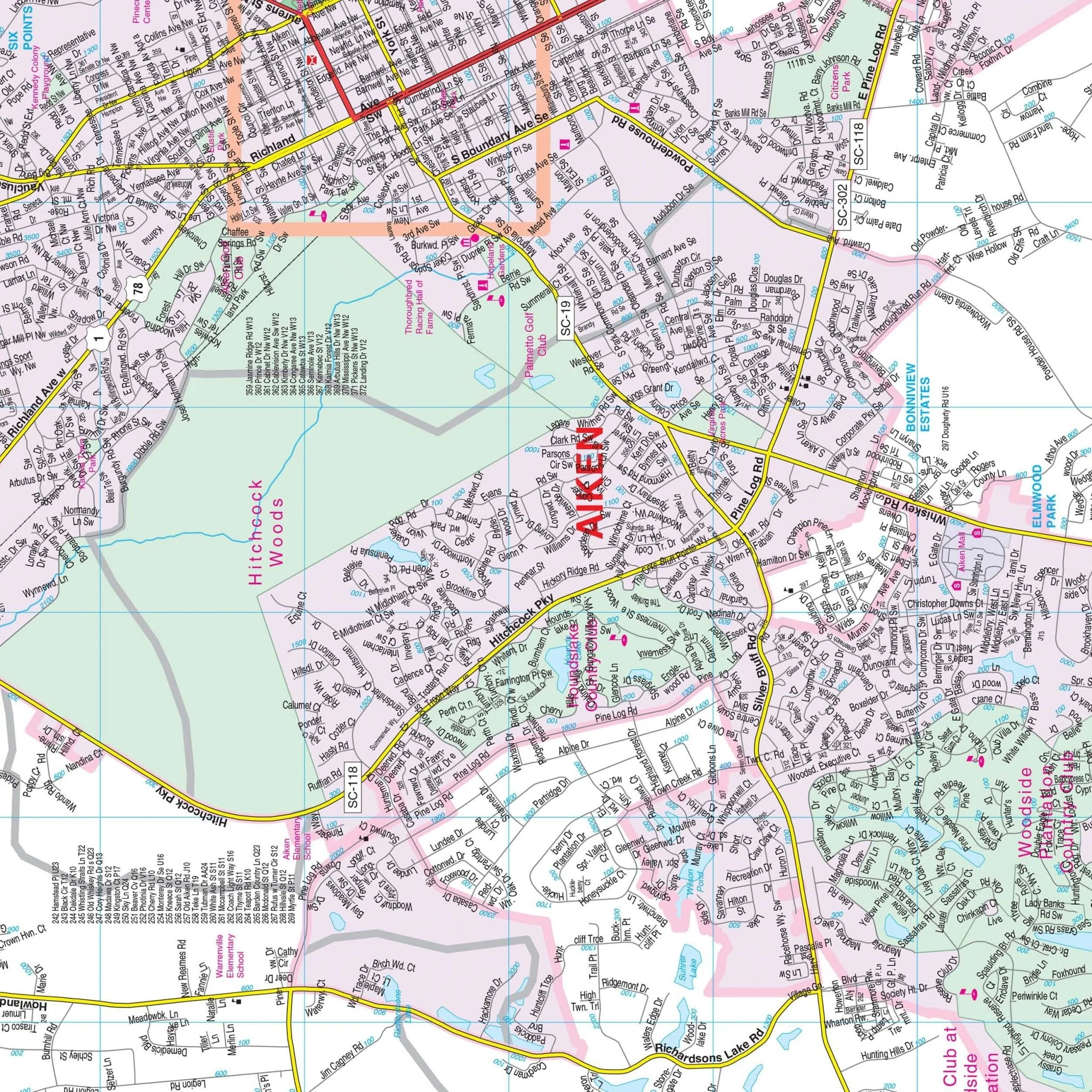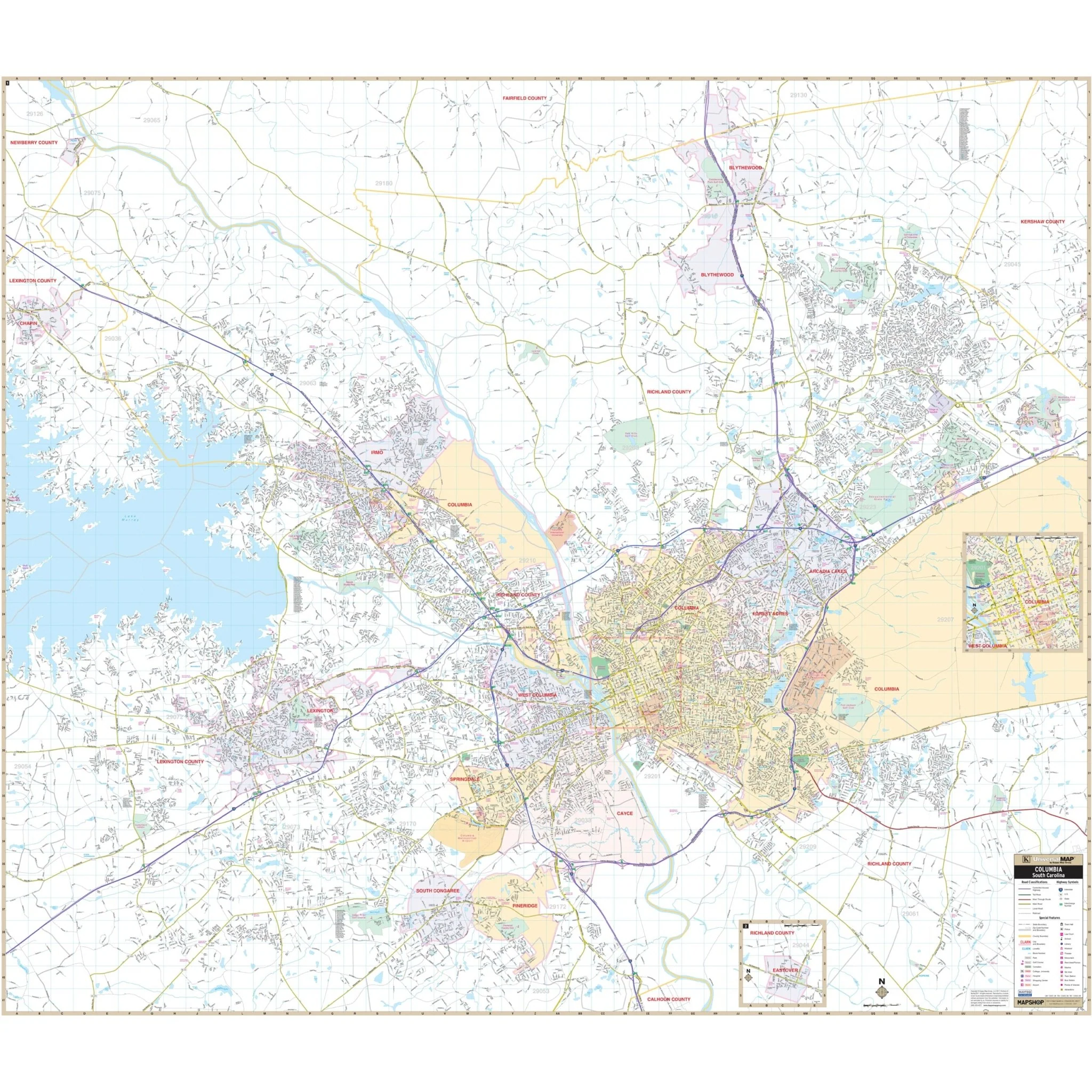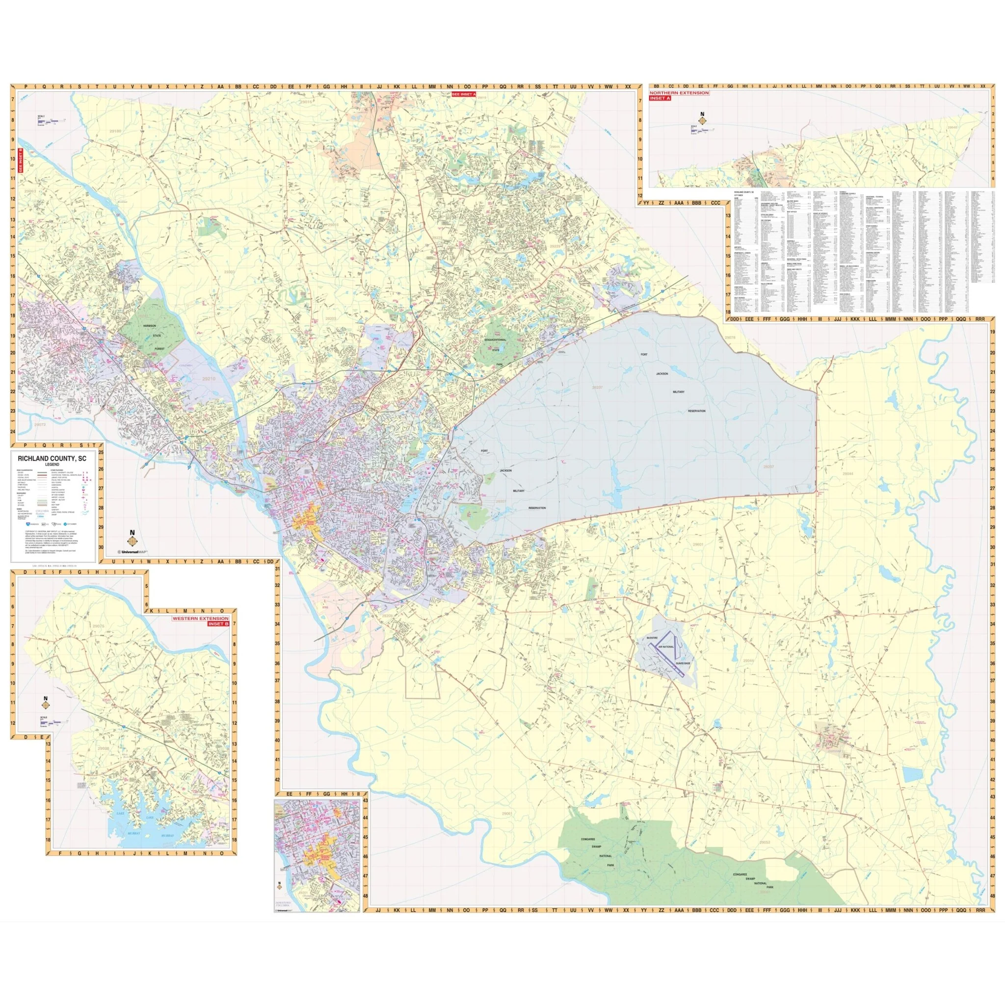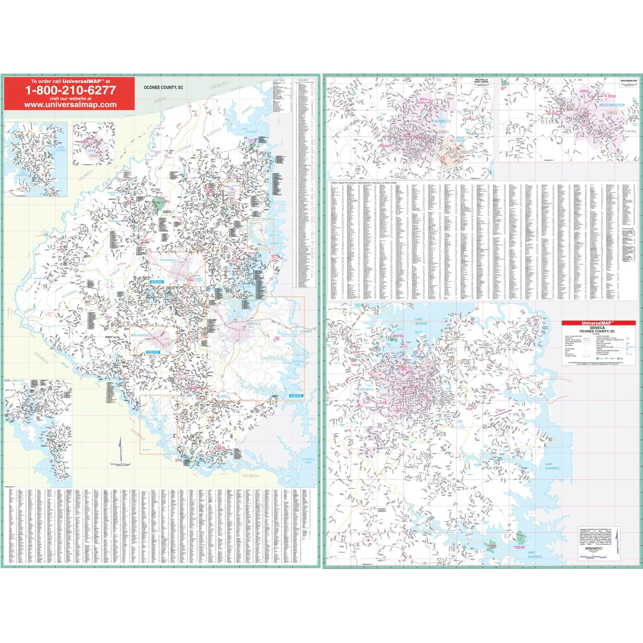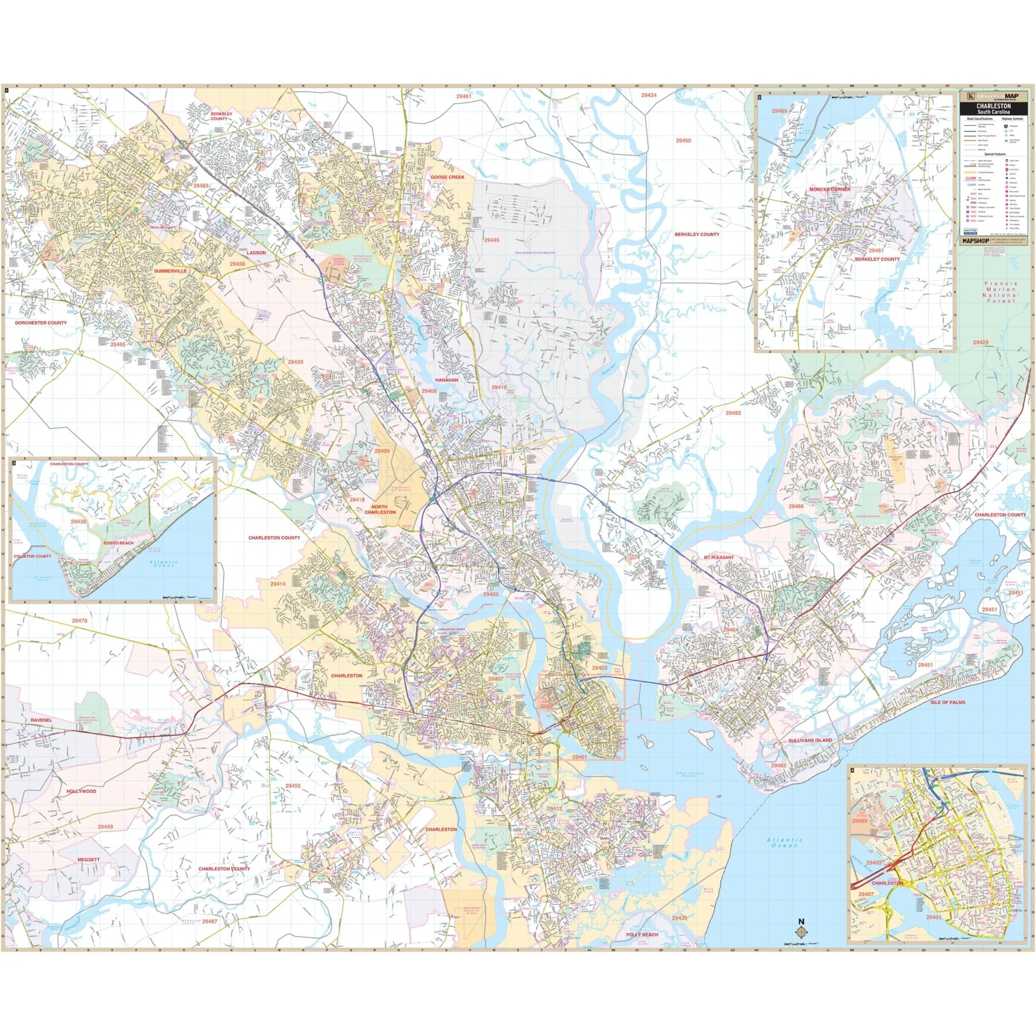
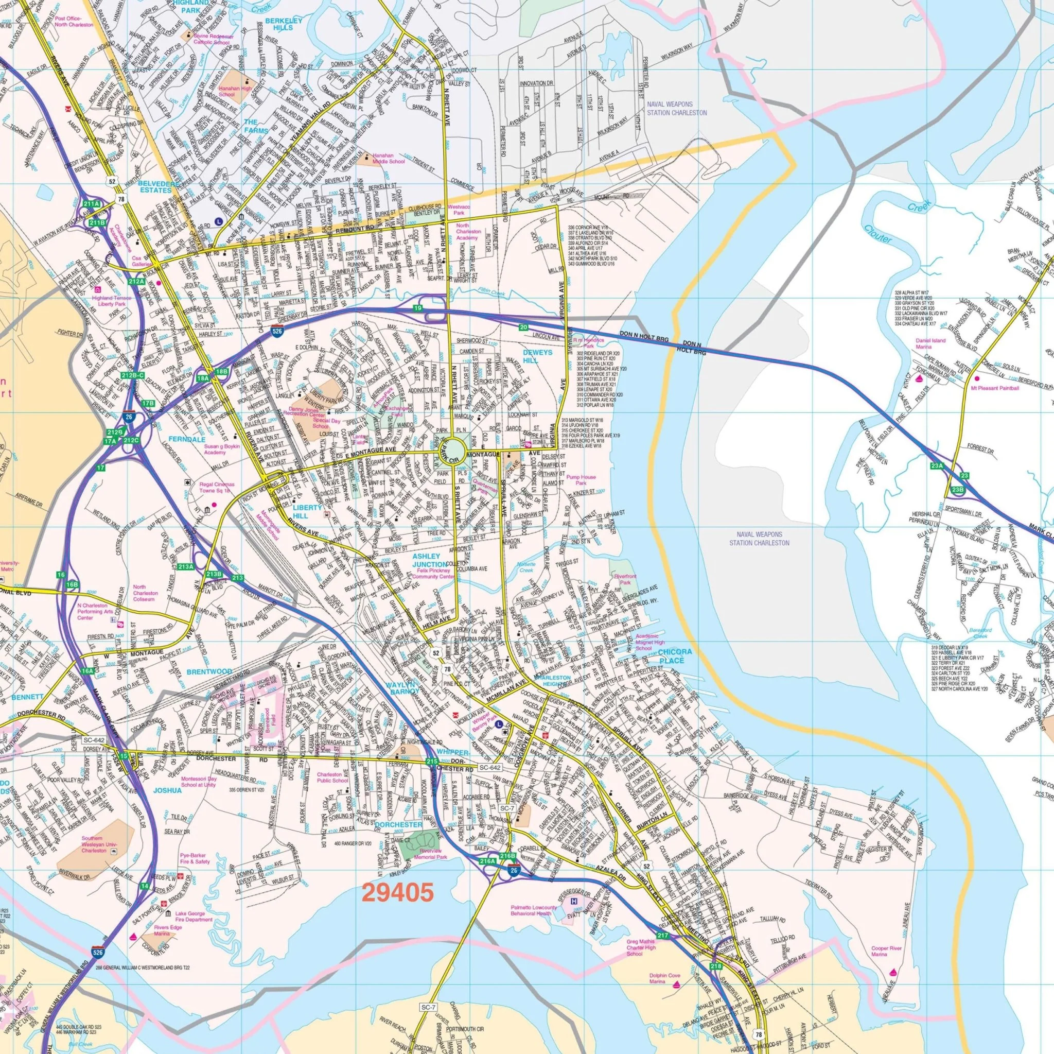


Charleston, SC Wall Map
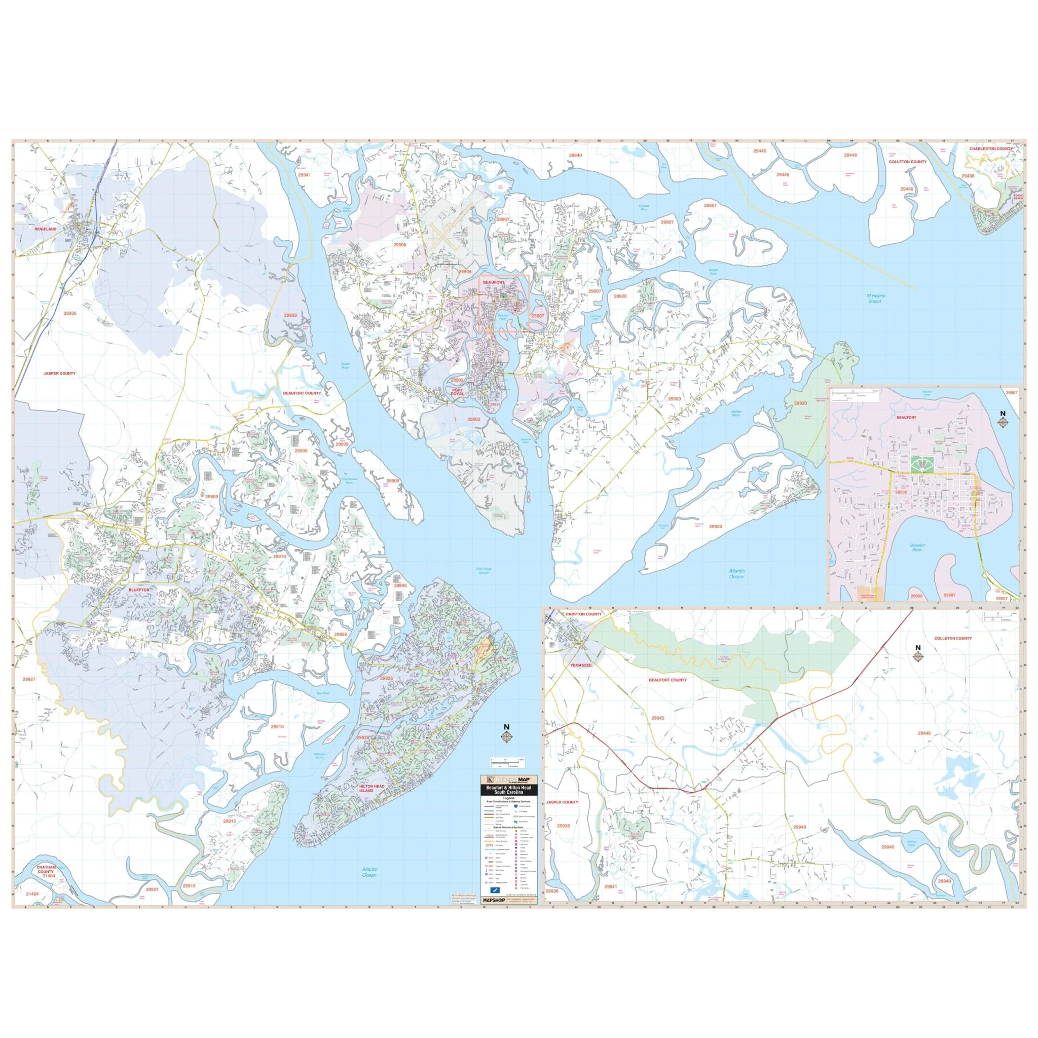
The Charleston, South Carolina Wall Map by Kappa Map Group covers the following area:
- North: Goose Creek and Summerville
- South: Charleston Executive Airport
- East: All of the Isle of Palms and the City of Mount Pleasant
- West: All of Summerville and portions of Ravenel and Meggett
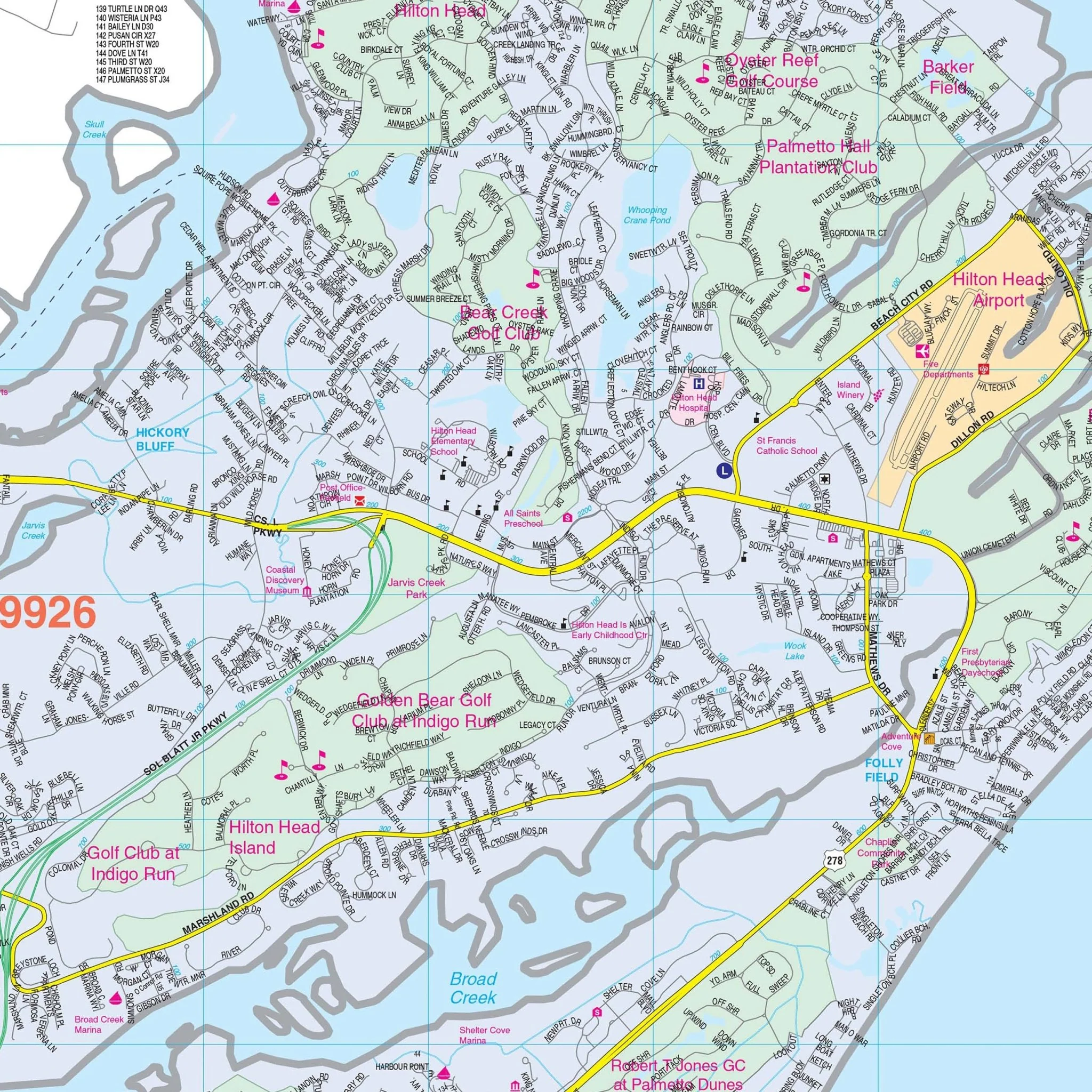
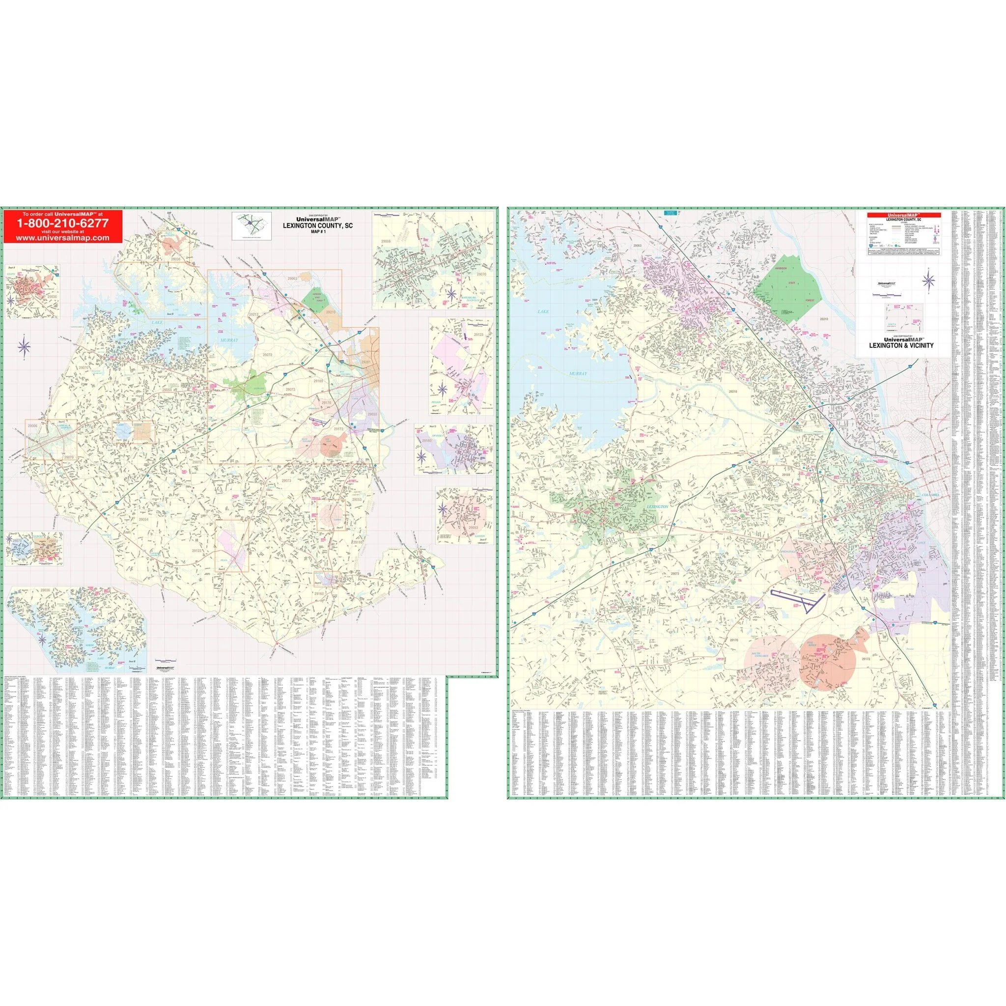
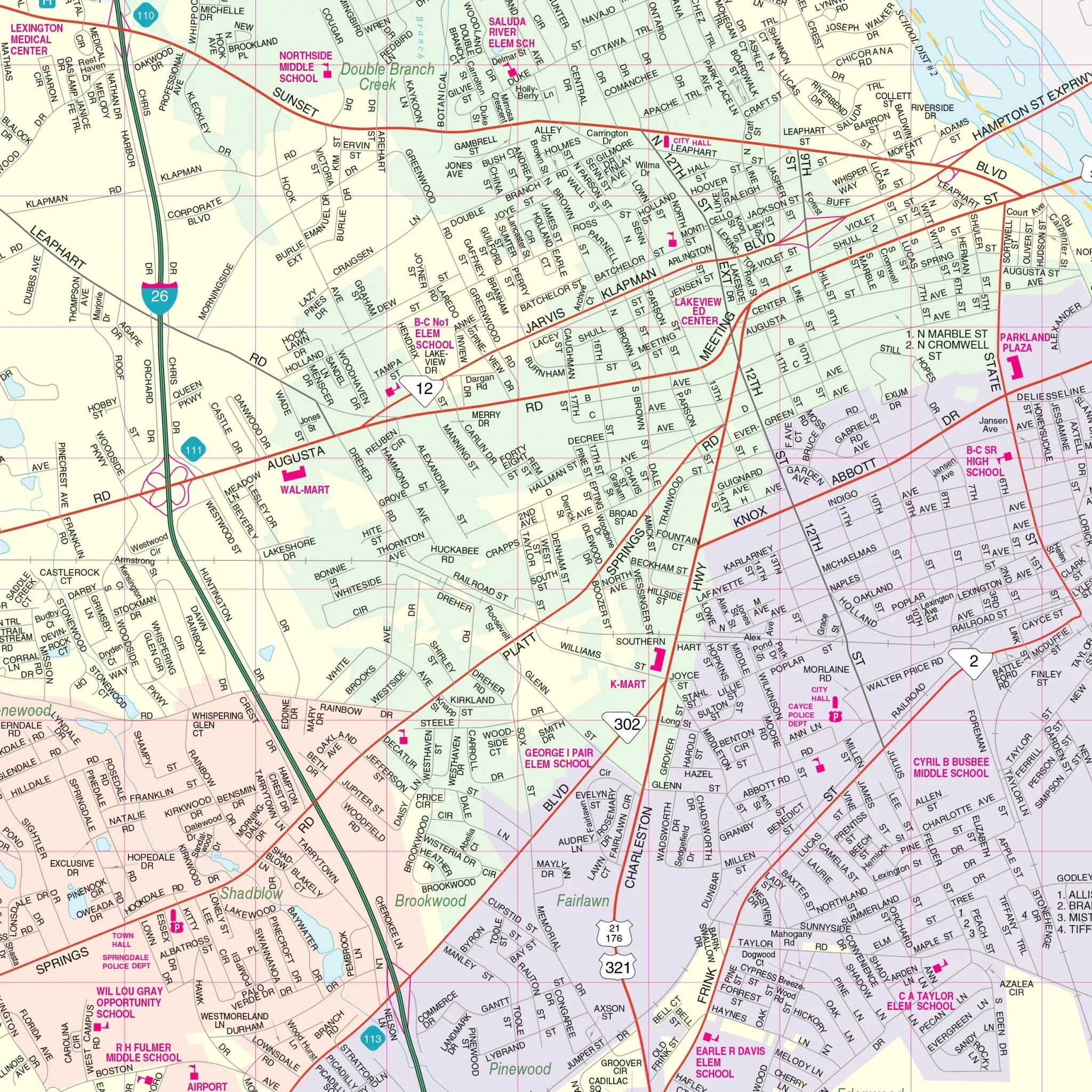
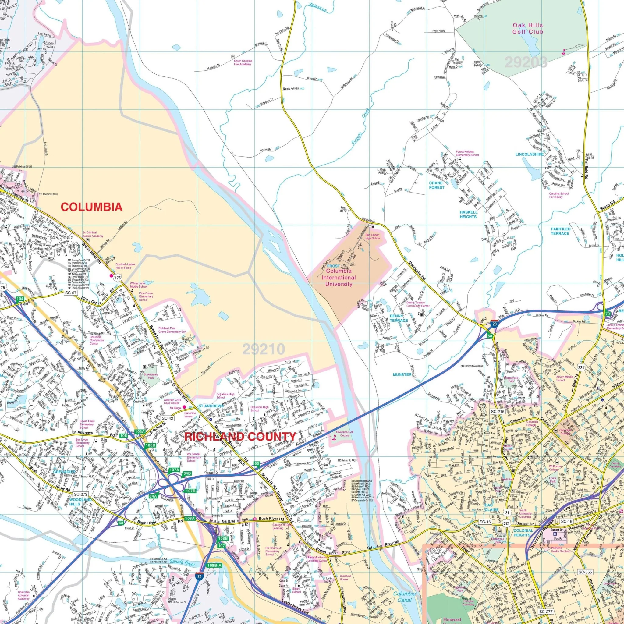
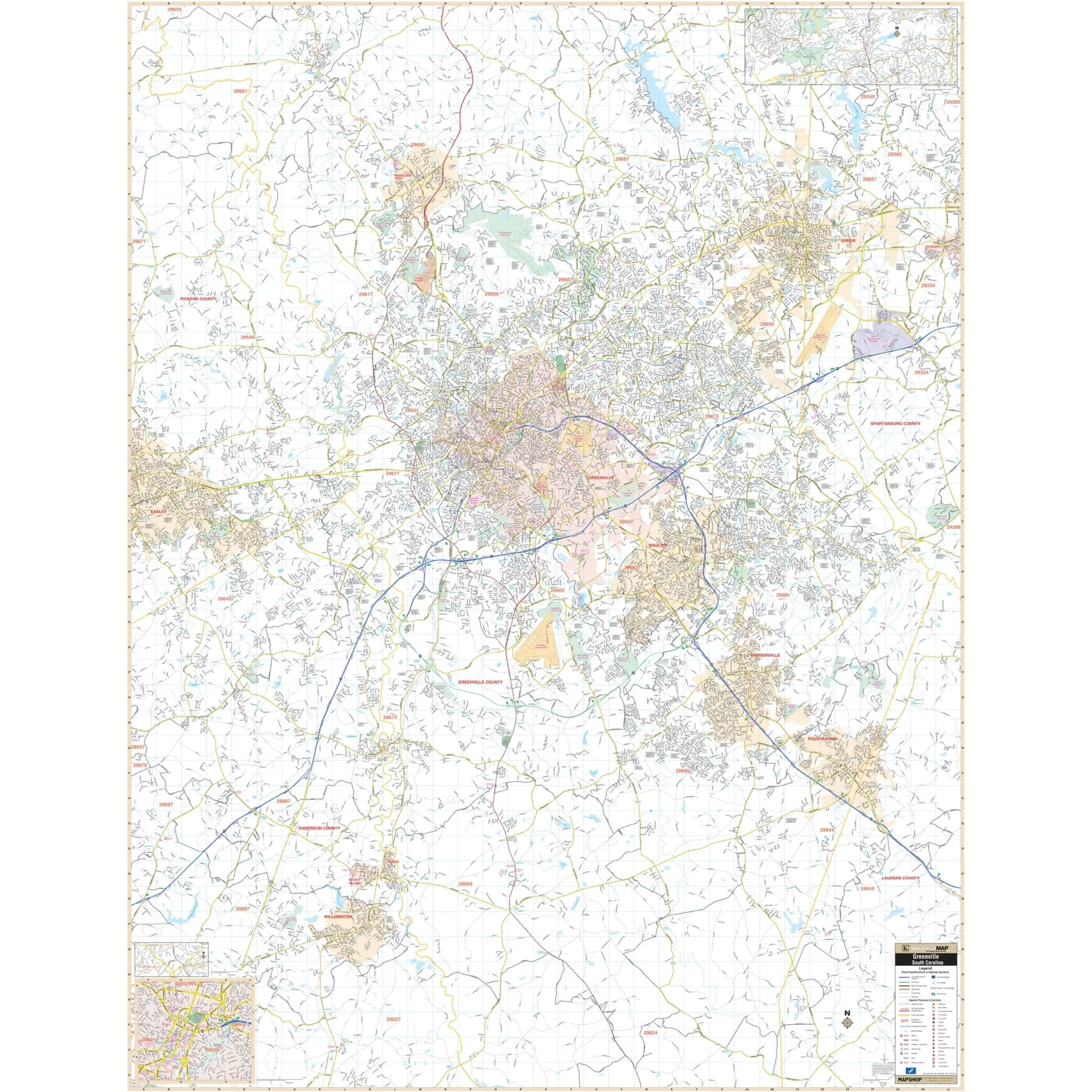
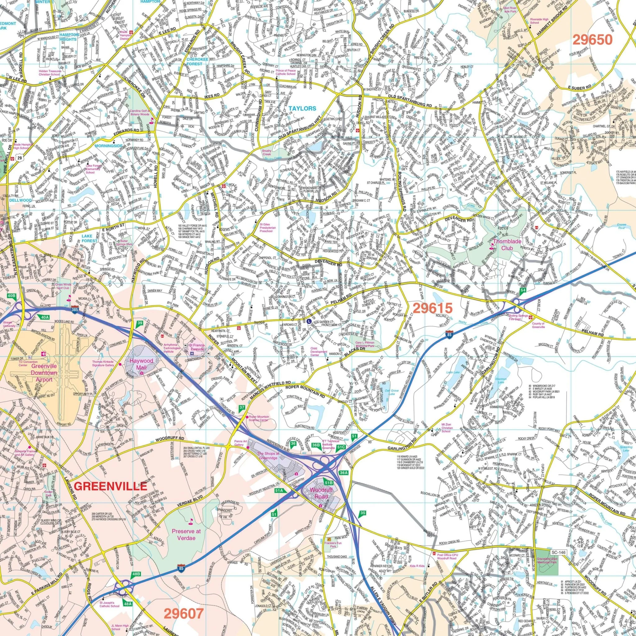
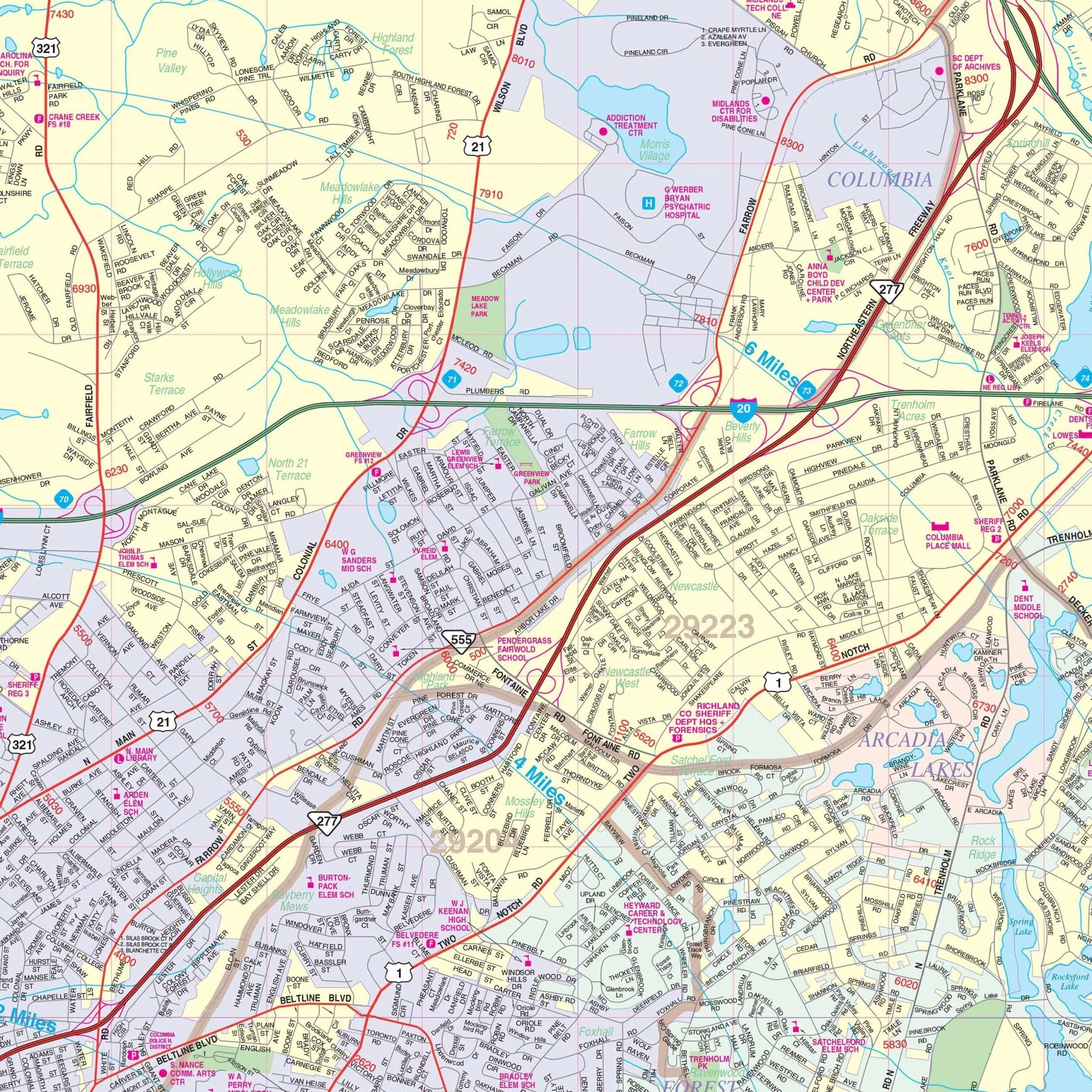
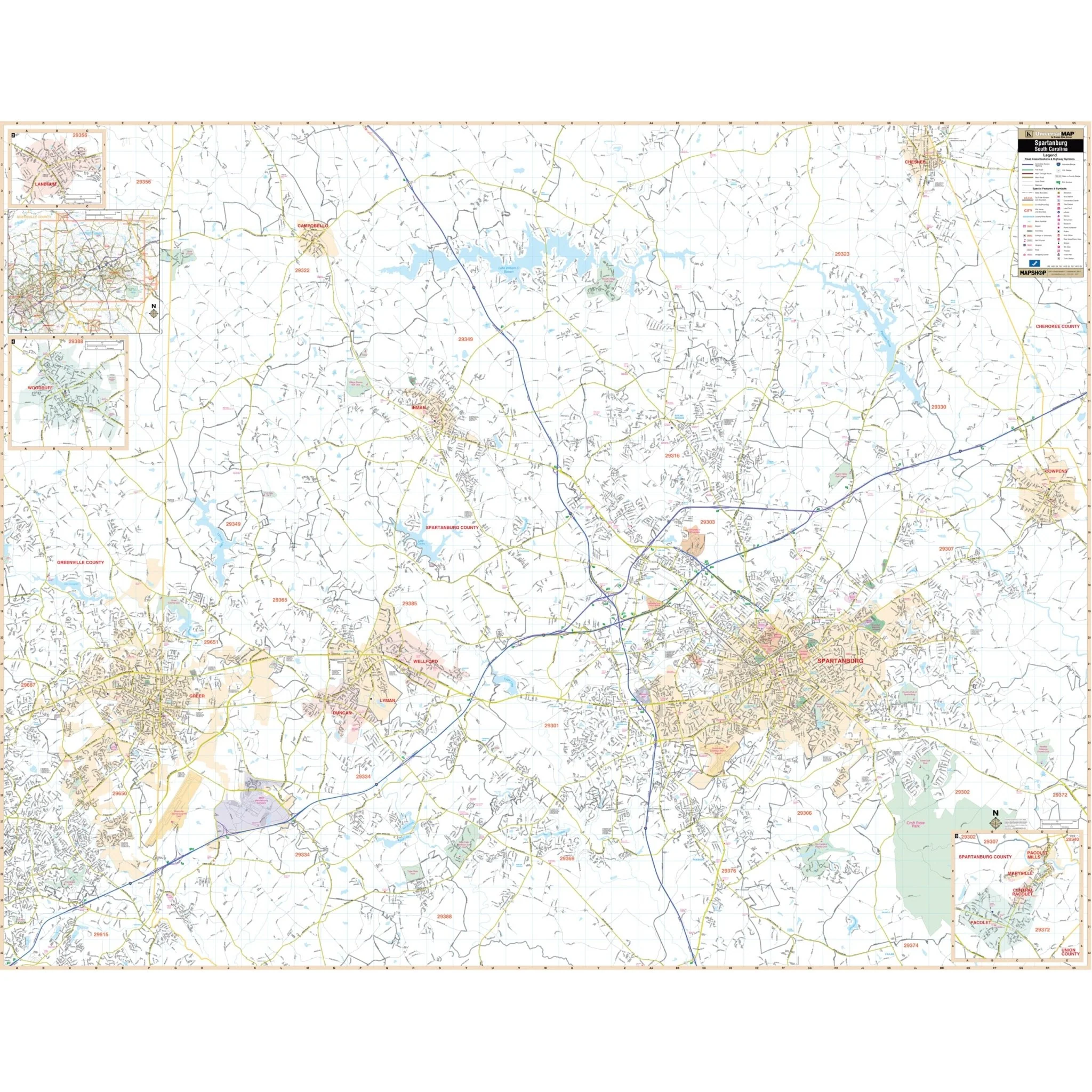
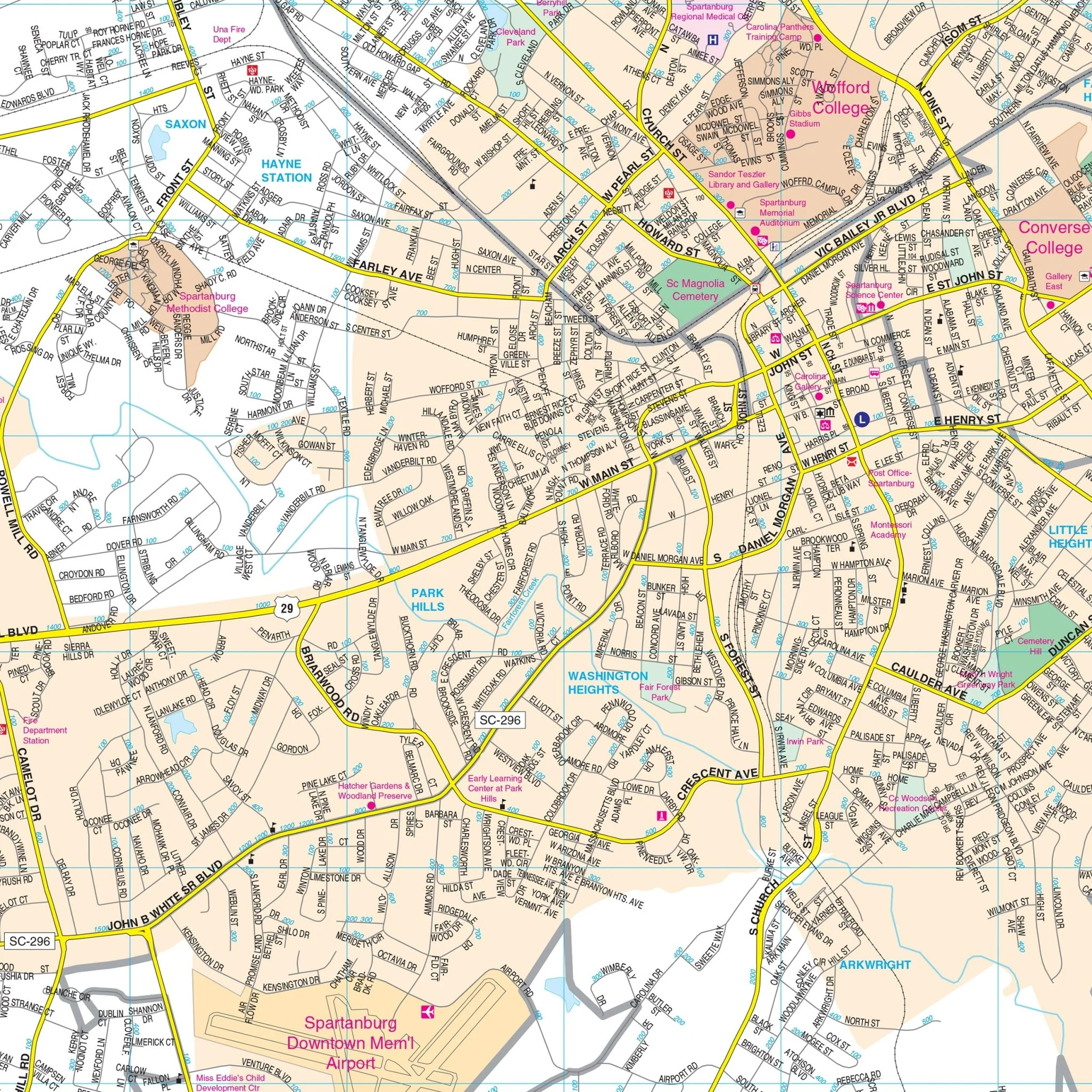
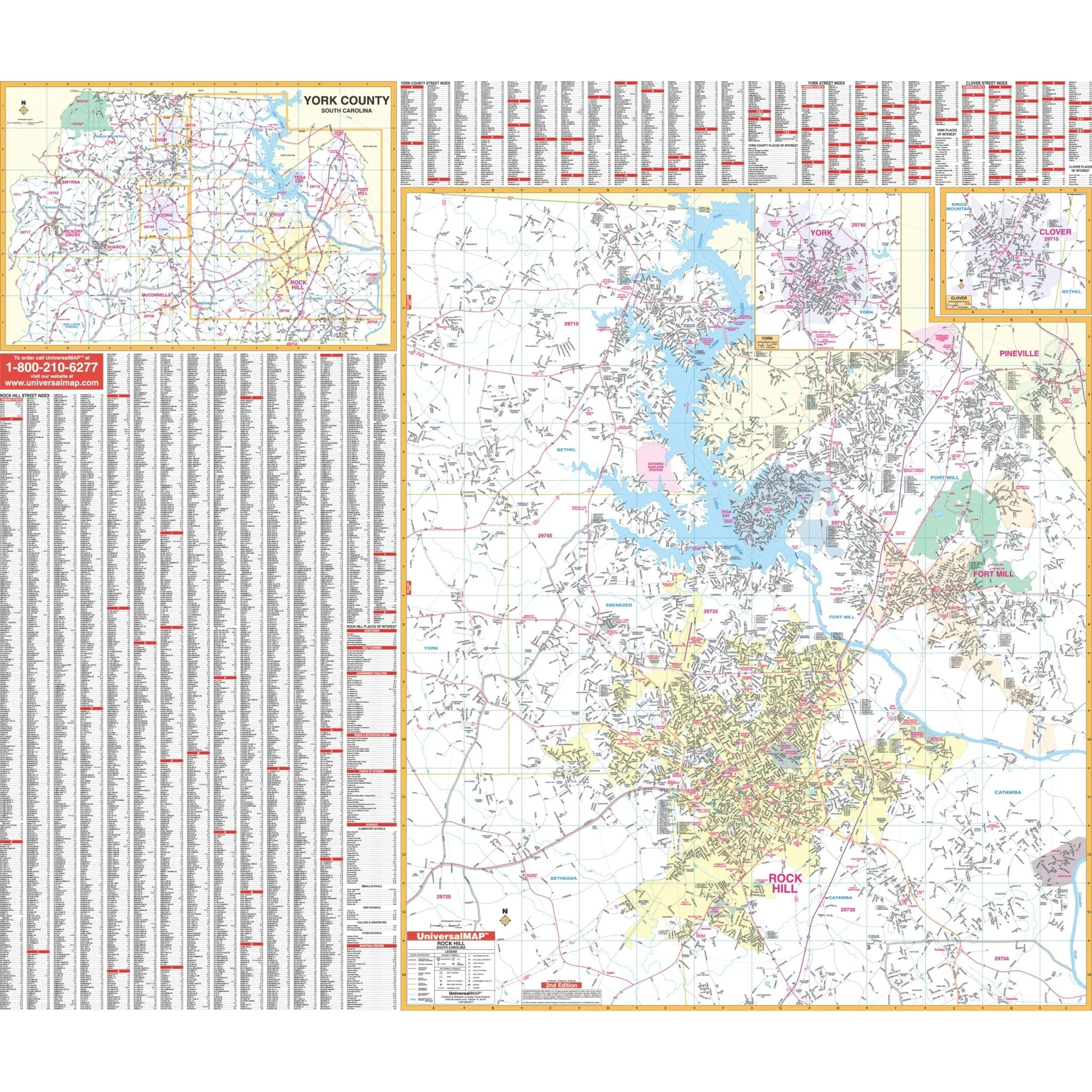
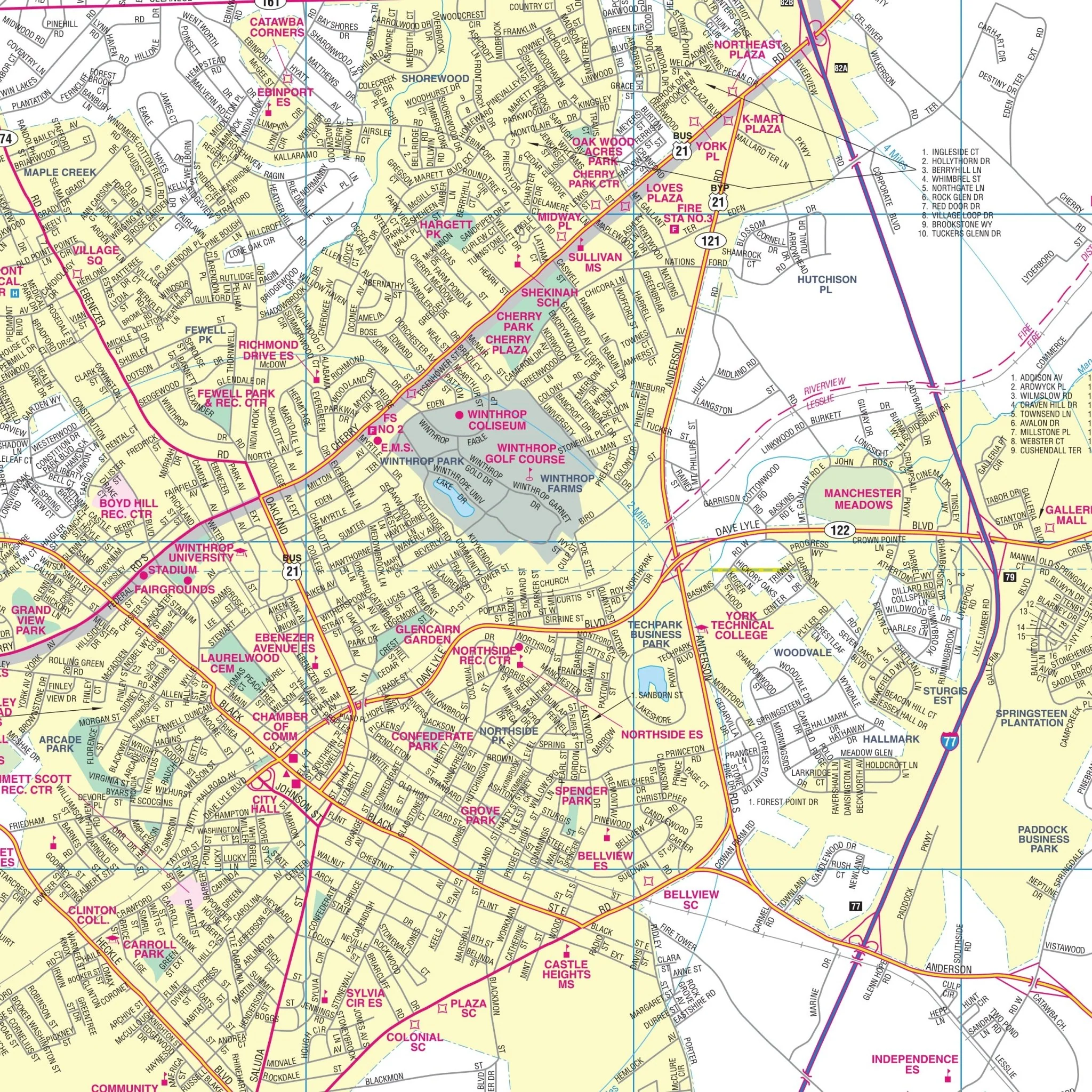
This comprehensive map provides complete street detail at a scale of 1"=2500". It includes essential information such as streets, airports, government buildings, post offices, cemeteries, fire and police stations, hospitals, shopping centers, educational institutions, railroads, water features, golf and country clubs, mileage circles, recreational parks, ZIP codes and boundaries, as well as block numbers.
Size: 64" x 54"
Published: 2015
Original: $139.99
-70%$139.99
$42.00Product Information
Product Information
Shipping & Returns
Shipping & Returns
Description
The Charleston, South Carolina Wall Map by Kappa Map Group covers the following area:
- North: Goose Creek and Summerville
- South: Charleston Executive Airport
- East: All of the Isle of Palms and the City of Mount Pleasant
- West: All of Summerville and portions of Ravenel and Meggett
This comprehensive map provides complete street detail at a scale of 1"=2500". It includes essential information such as streets, airports, government buildings, post offices, cemeteries, fire and police stations, hospitals, shopping centers, educational institutions, railroads, water features, golf and country clubs, mileage circles, recreational parks, ZIP codes and boundaries, as well as block numbers.
Size: 64" x 54"
Published: 2015