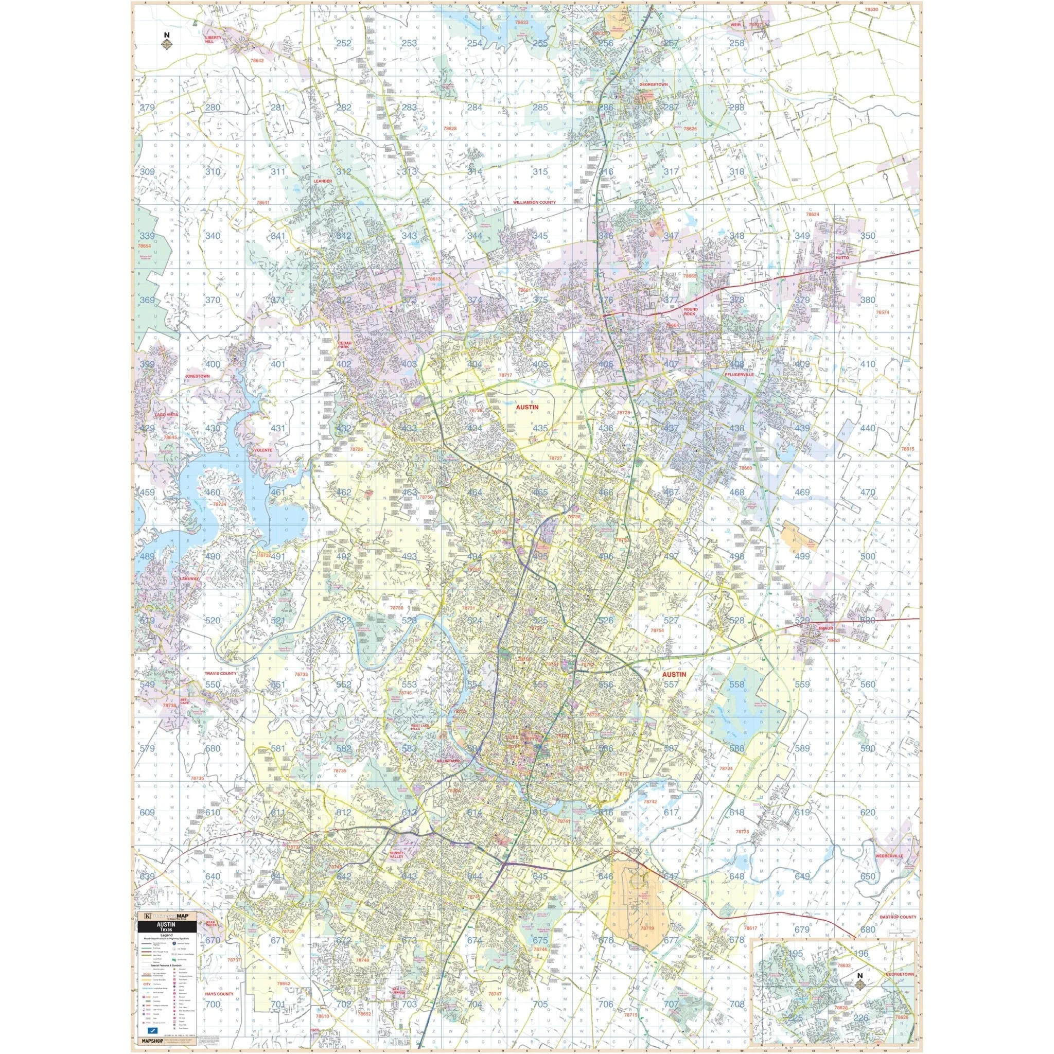


Austin, TX Wall Map
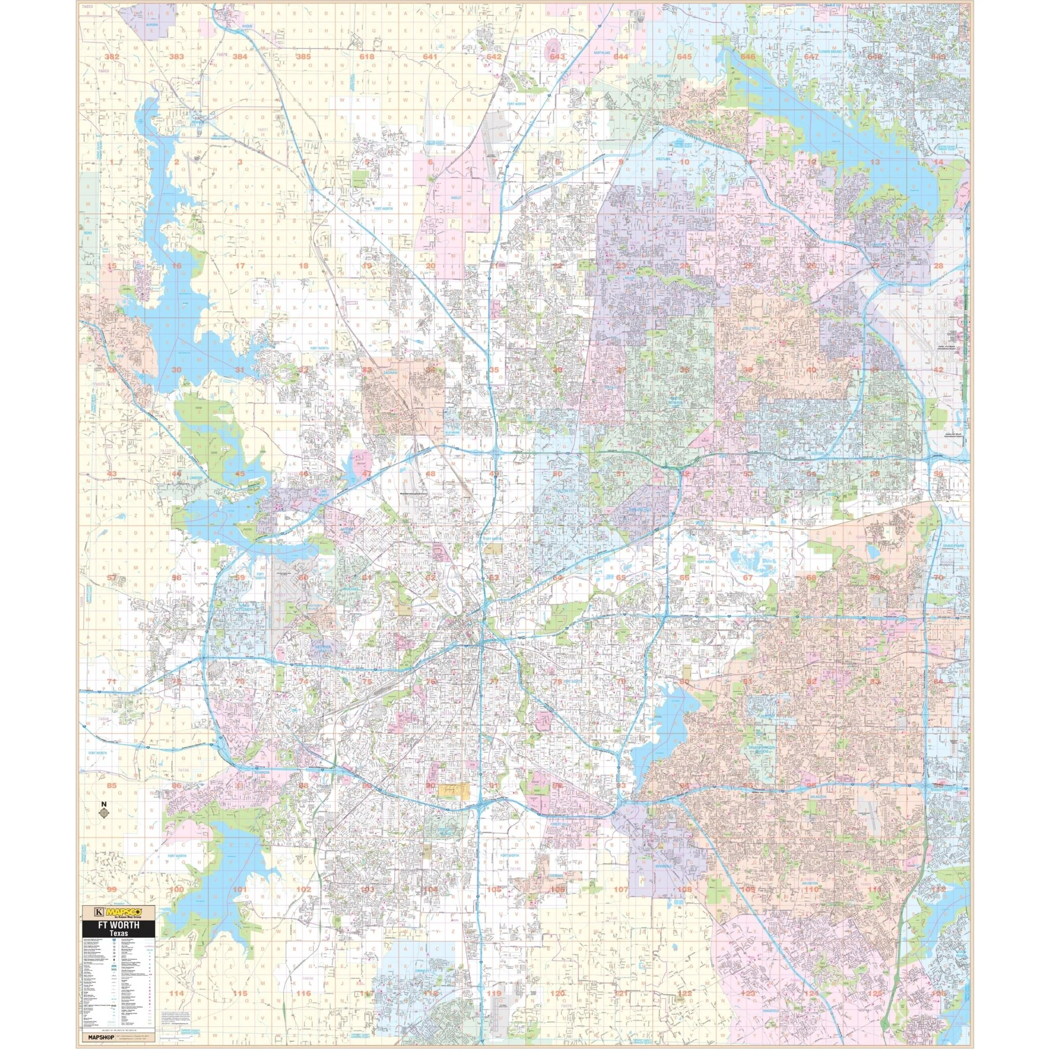
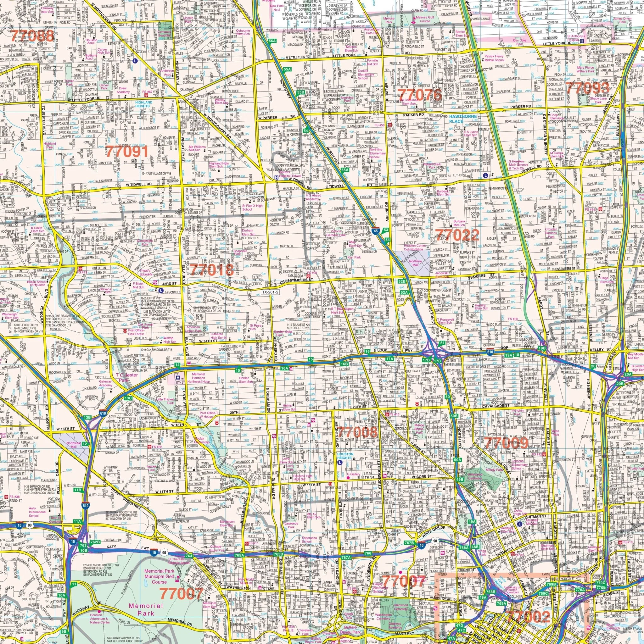
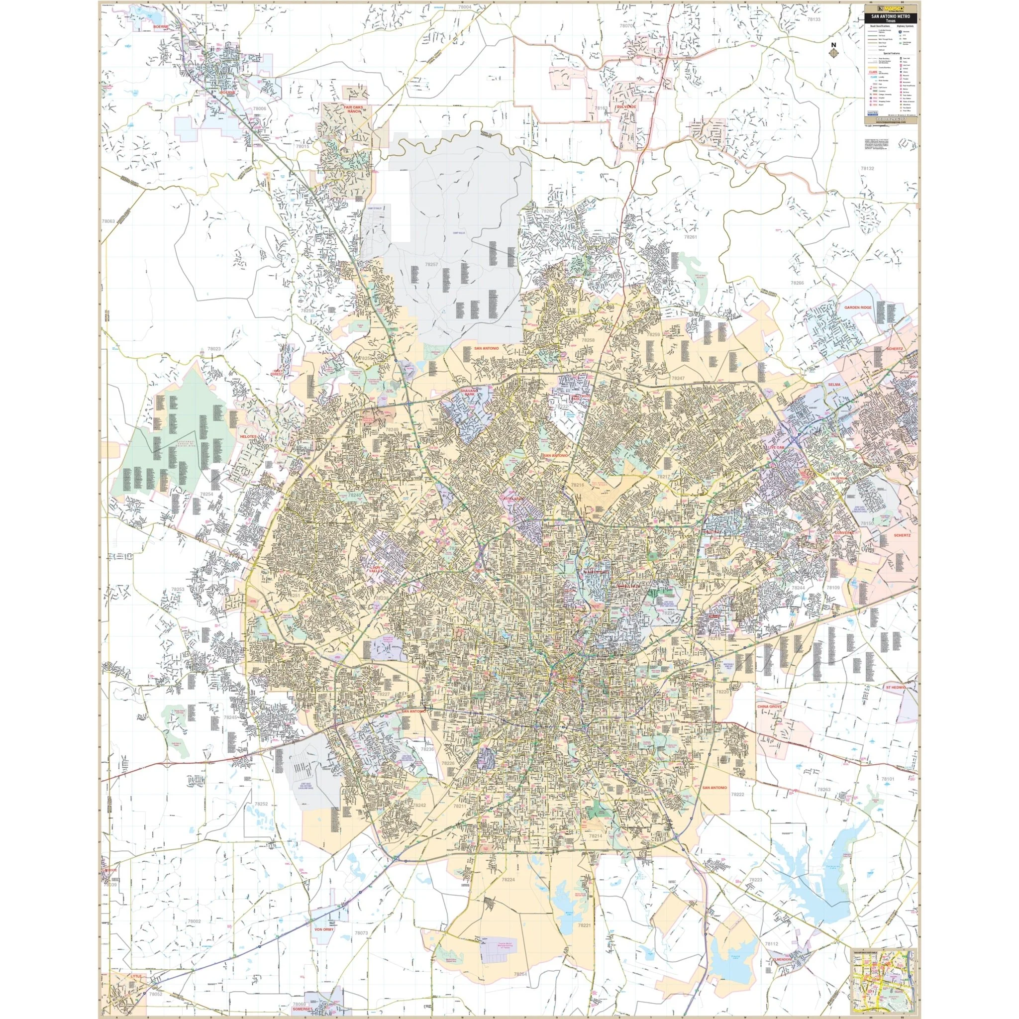
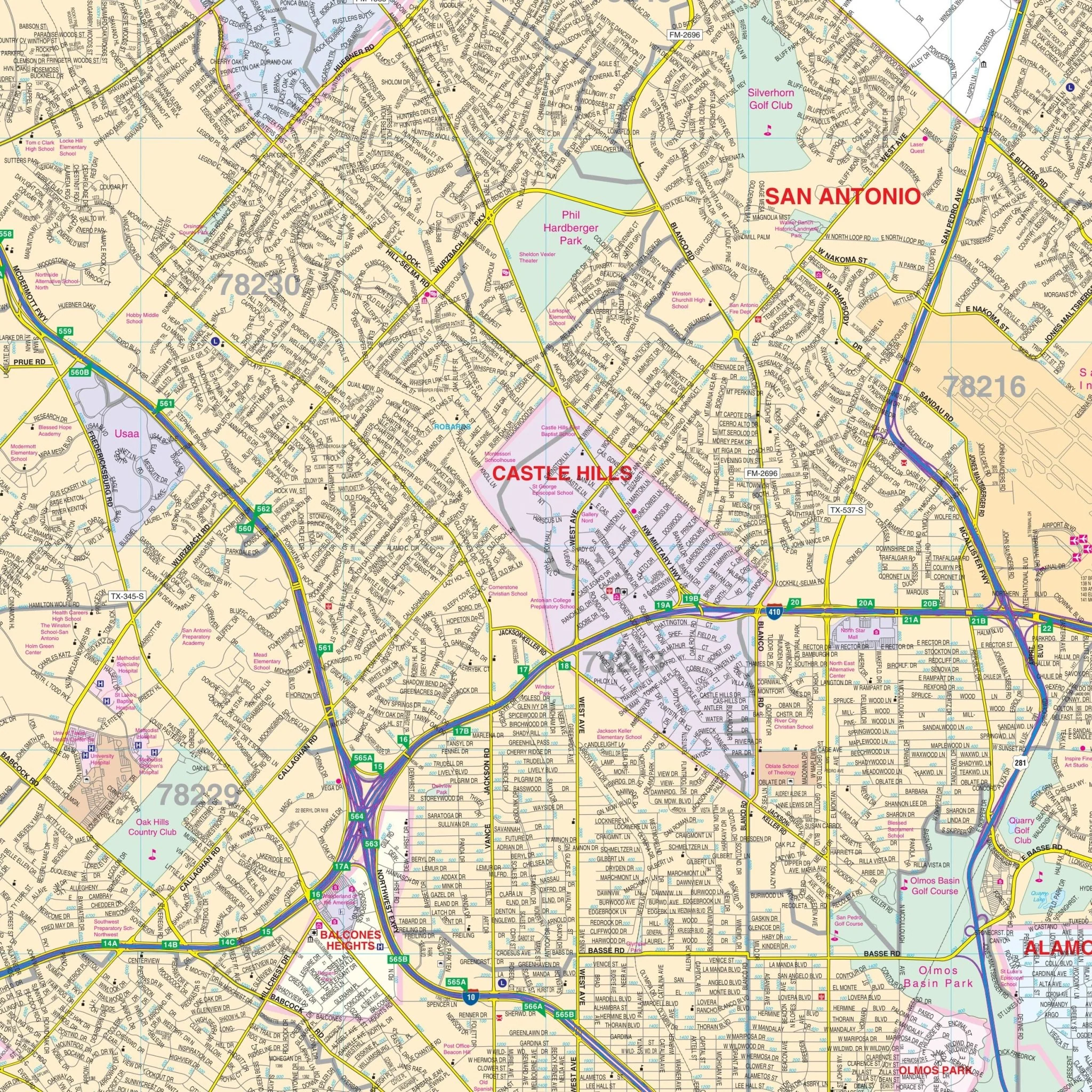
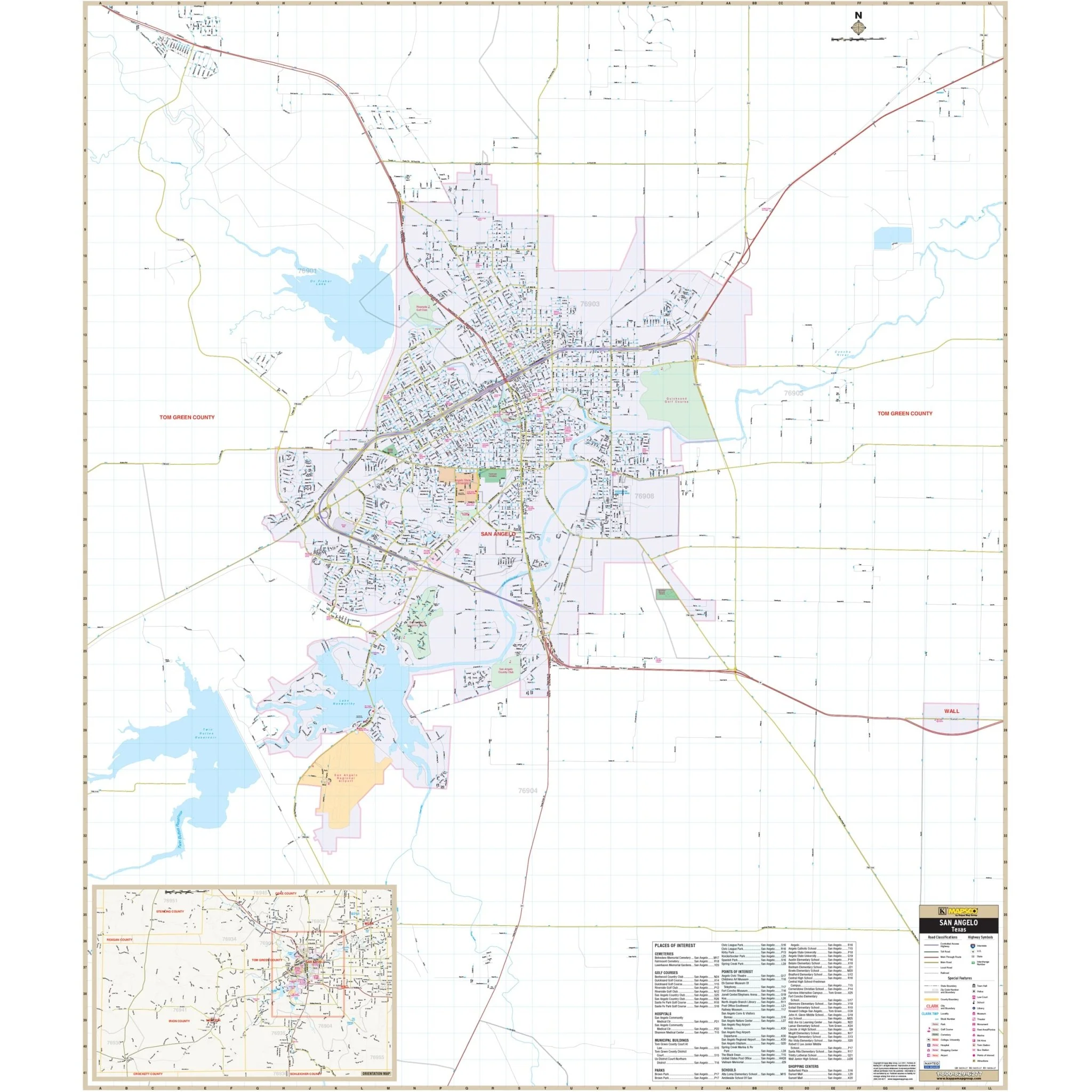
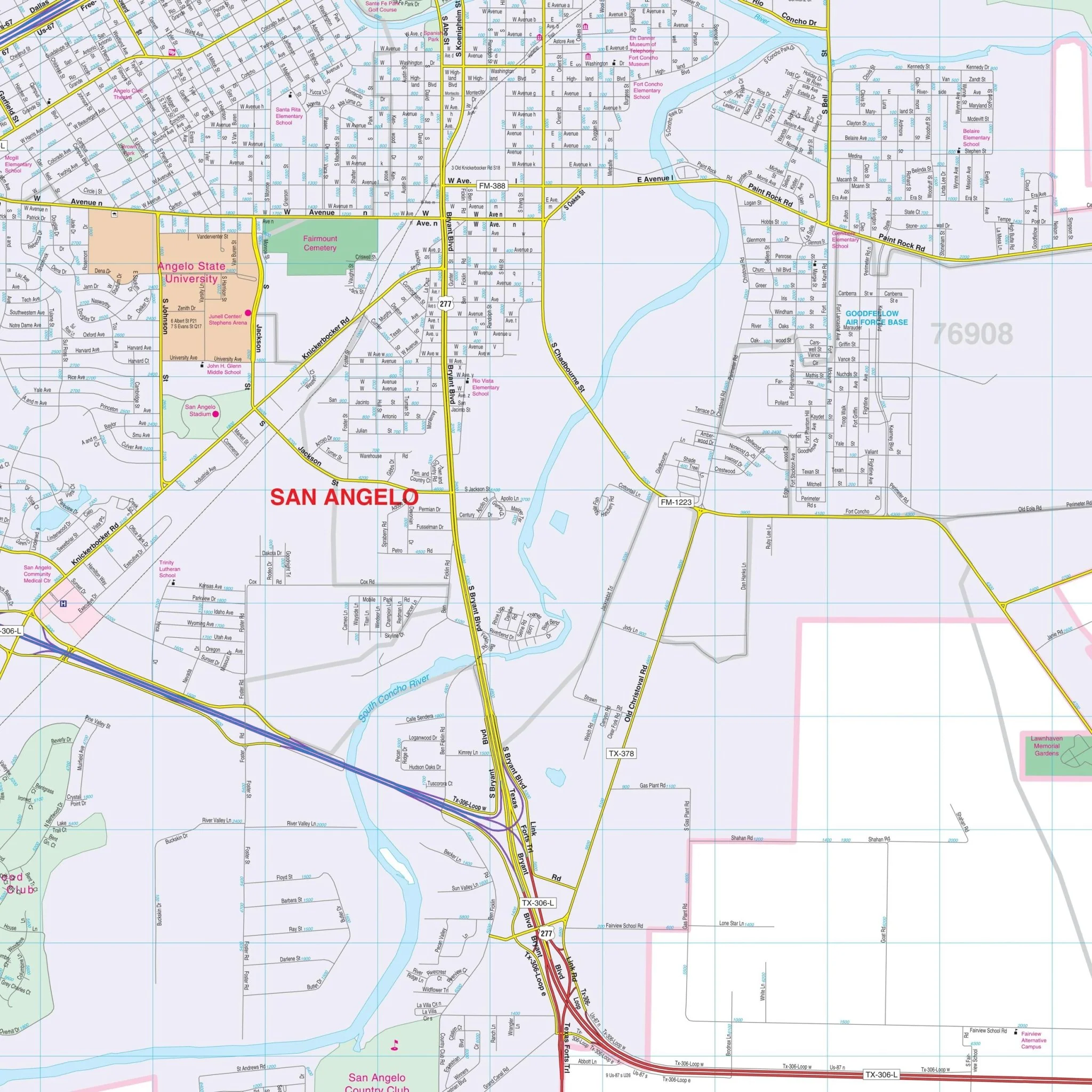
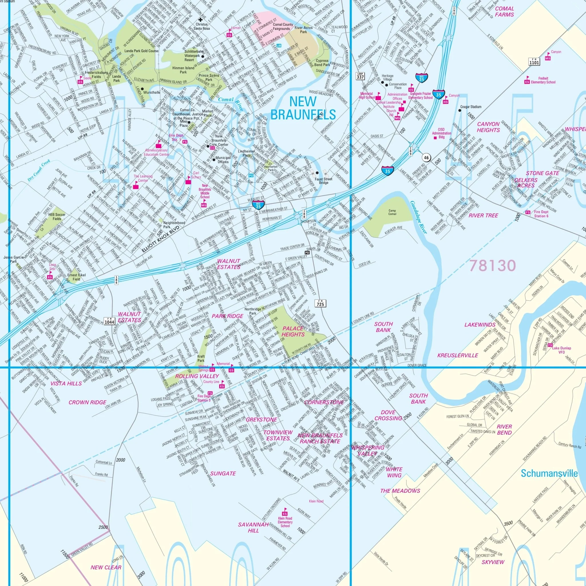
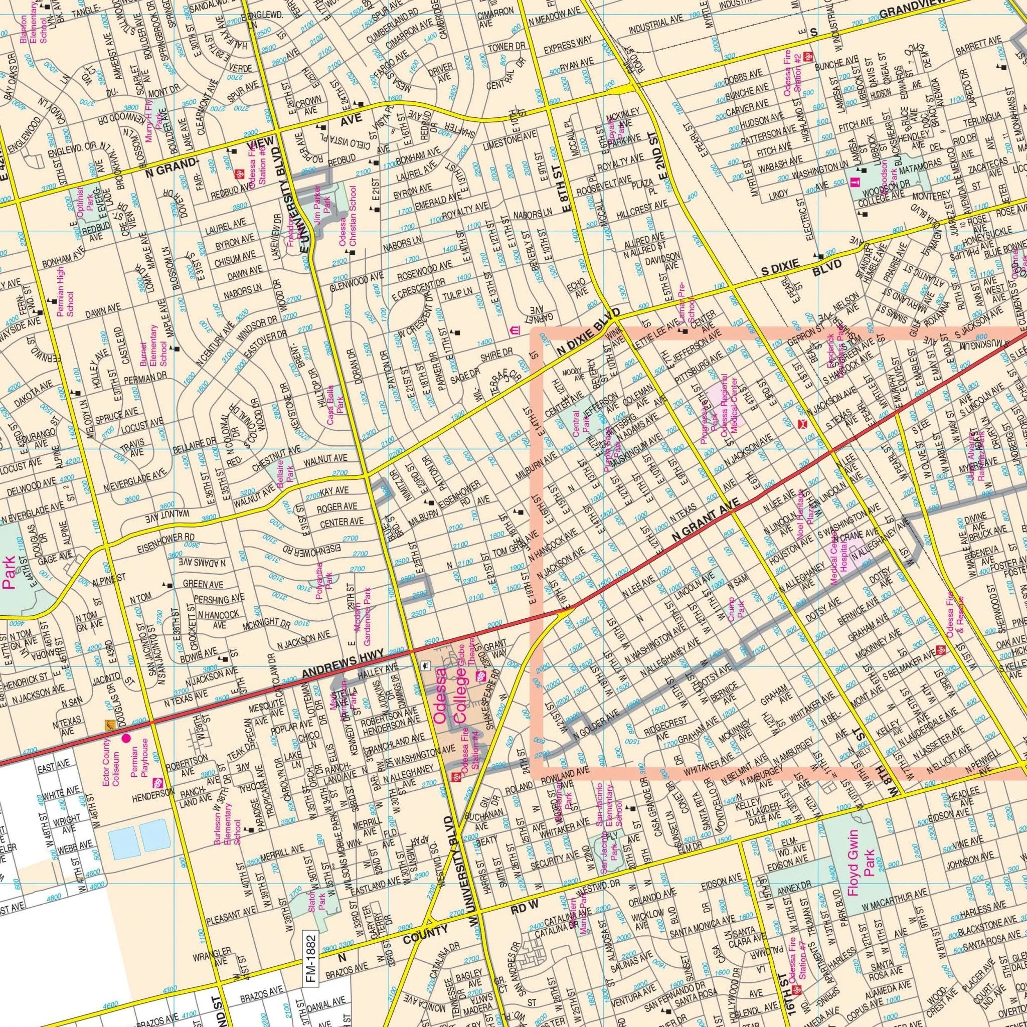
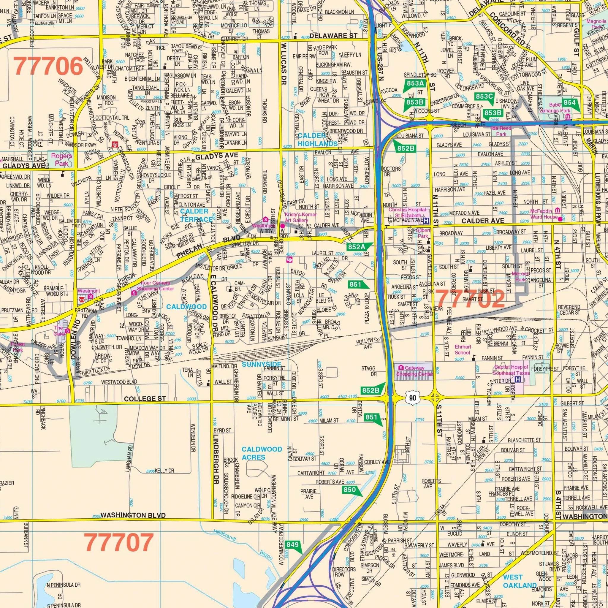
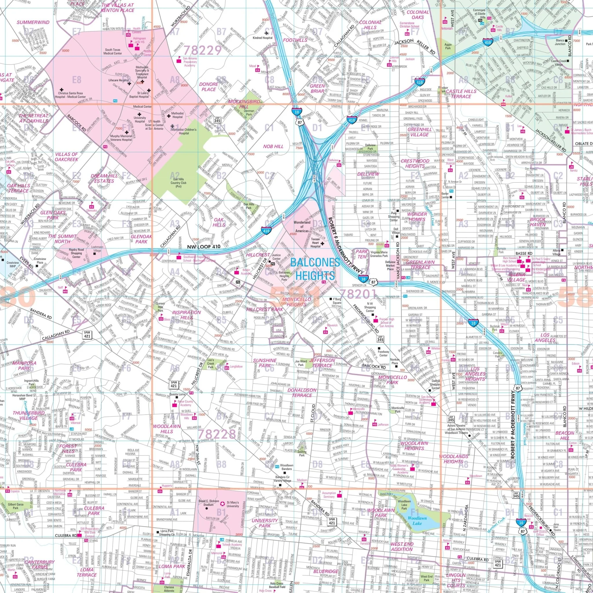
The Austin, Texas Wall Map by Kappa Map Group offers comprehensive coverage with new streets and community details. It shows all of Austin, Texas, in complete street detail, covering the following areas:
- North: Extends to Leander and Round Rock
- South: Covers San Leanna and all of Austin
- East: Includes Pflugerville and Walter E. Long Park and Lake
- West: Reaches Lakeway and all of Jonestown
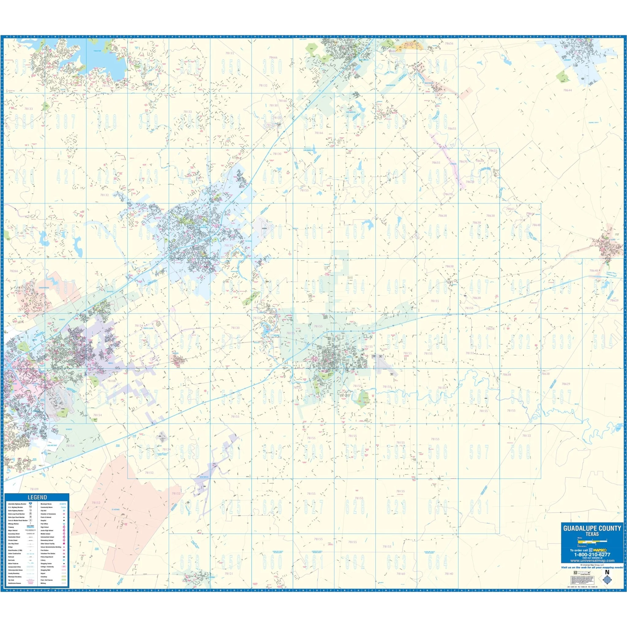
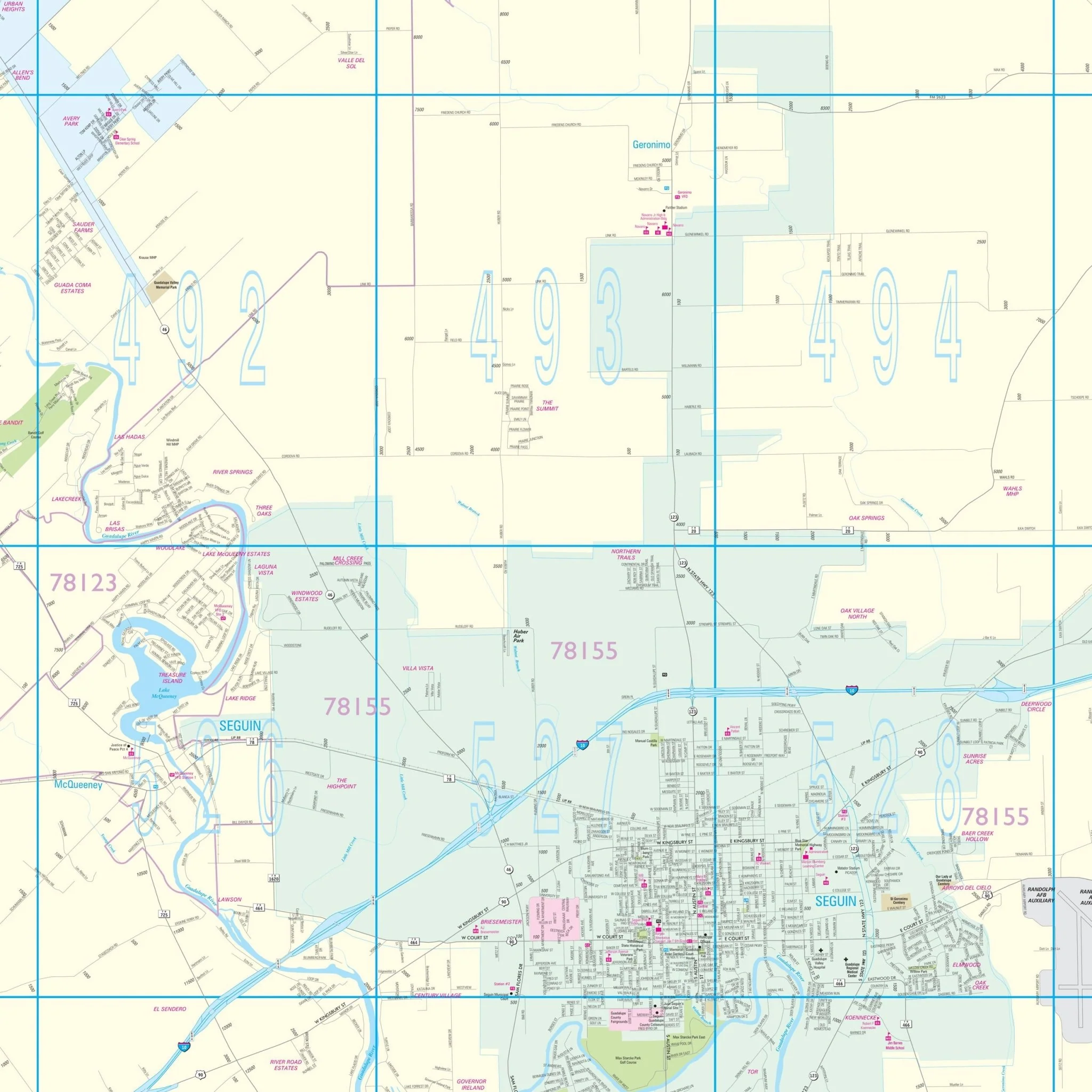
Details included on the map encompass streets, airports, government buildings, post offices, cemeteries, fire and police stations, hospitals, shopping centers, educational institutions, railroads, water features, golf and country clubs, mileage circles, recreational parks, ZIP codes and boundaries, as well as block numbers.
Size: 57" x 75.25"
Published: 2015
Original: $149.99
-70%$149.99
$45.00Product Information
Product Information
Shipping & Returns
Shipping & Returns
Description
The Austin, Texas Wall Map by Kappa Map Group offers comprehensive coverage with new streets and community details. It shows all of Austin, Texas, in complete street detail, covering the following areas:
- North: Extends to Leander and Round Rock
- South: Covers San Leanna and all of Austin
- East: Includes Pflugerville and Walter E. Long Park and Lake
- West: Reaches Lakeway and all of Jonestown
Details included on the map encompass streets, airports, government buildings, post offices, cemeteries, fire and police stations, hospitals, shopping centers, educational institutions, railroads, water features, golf and country clubs, mileage circles, recreational parks, ZIP codes and boundaries, as well as block numbers.
Size: 57" x 75.25"
Published: 2015