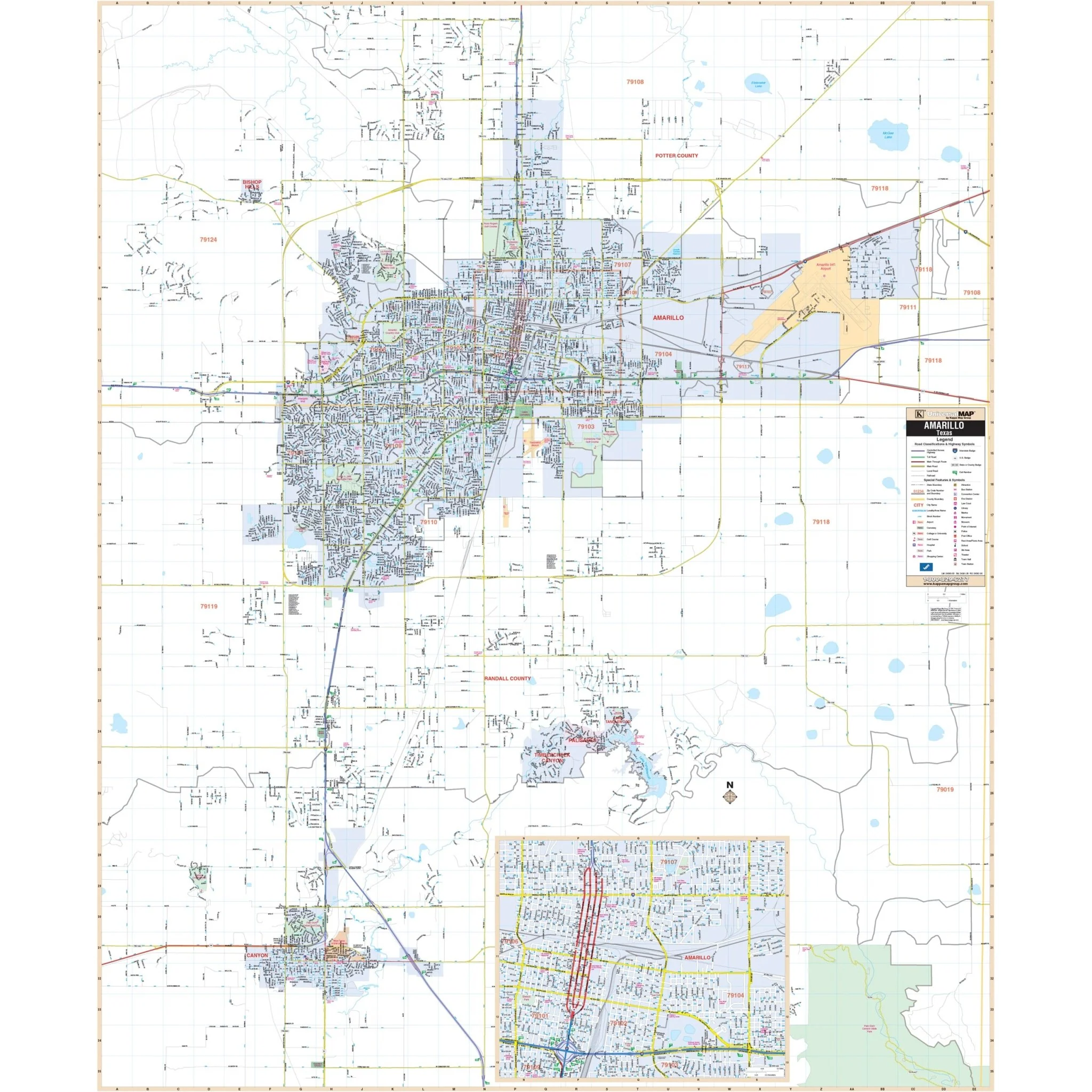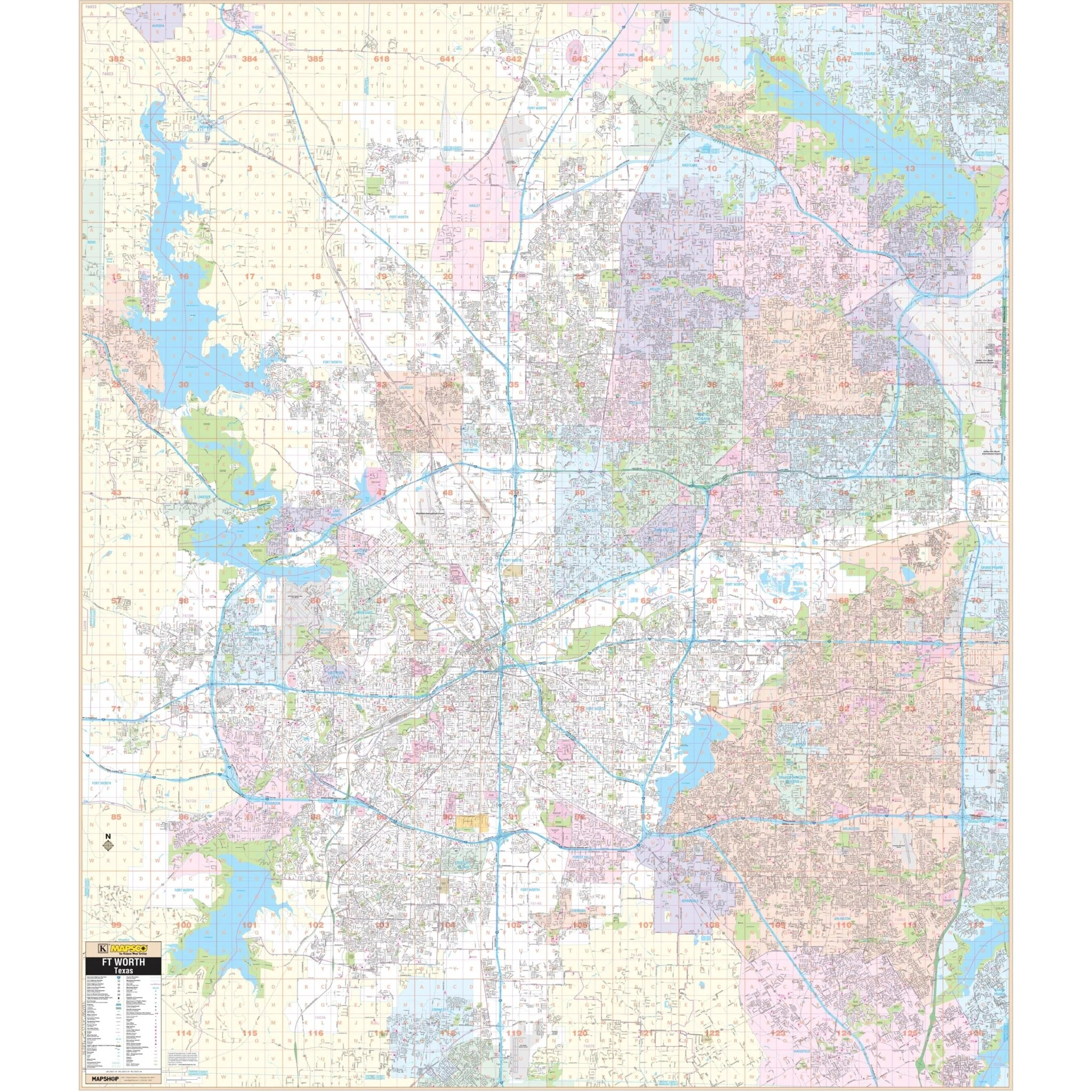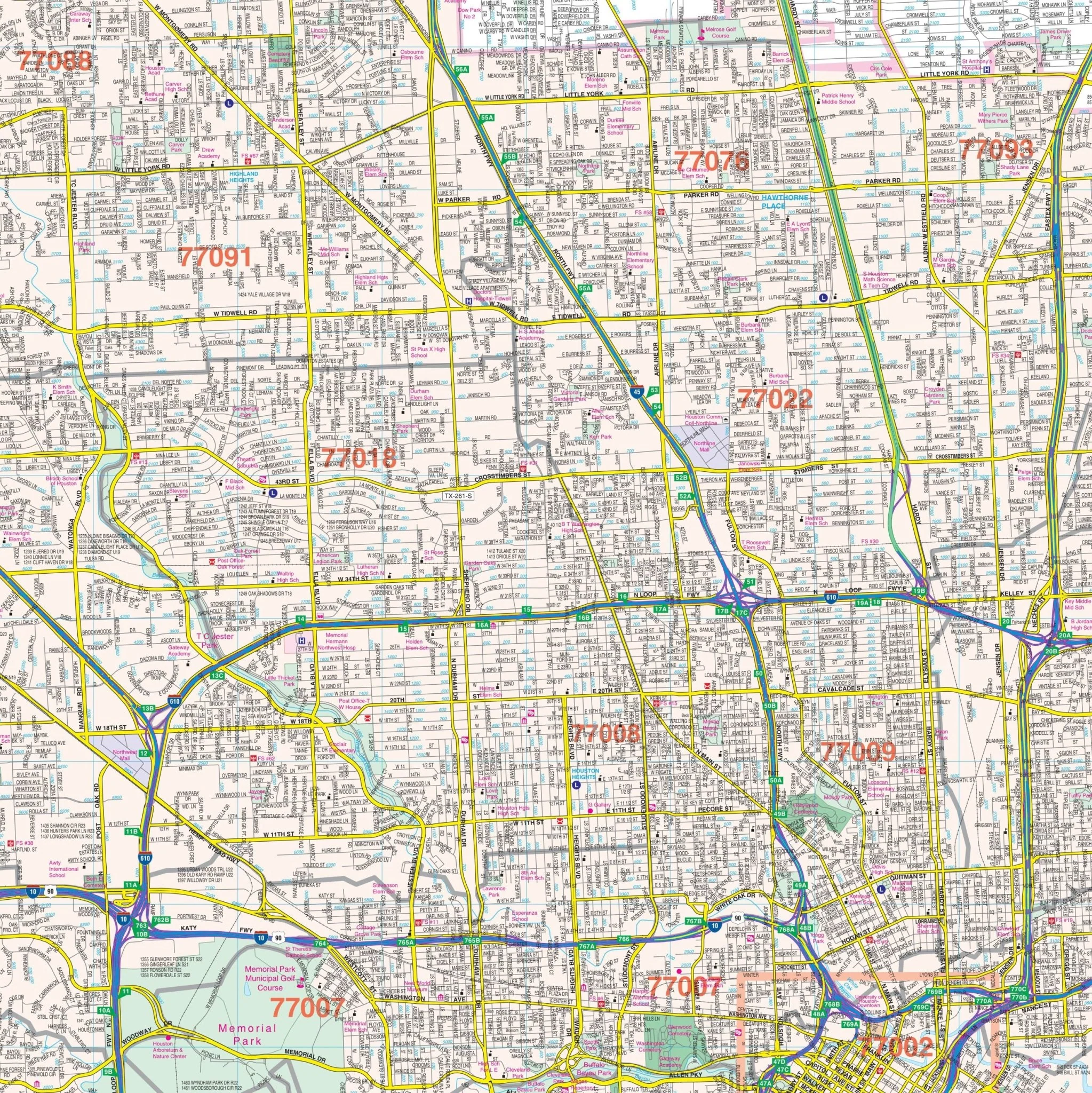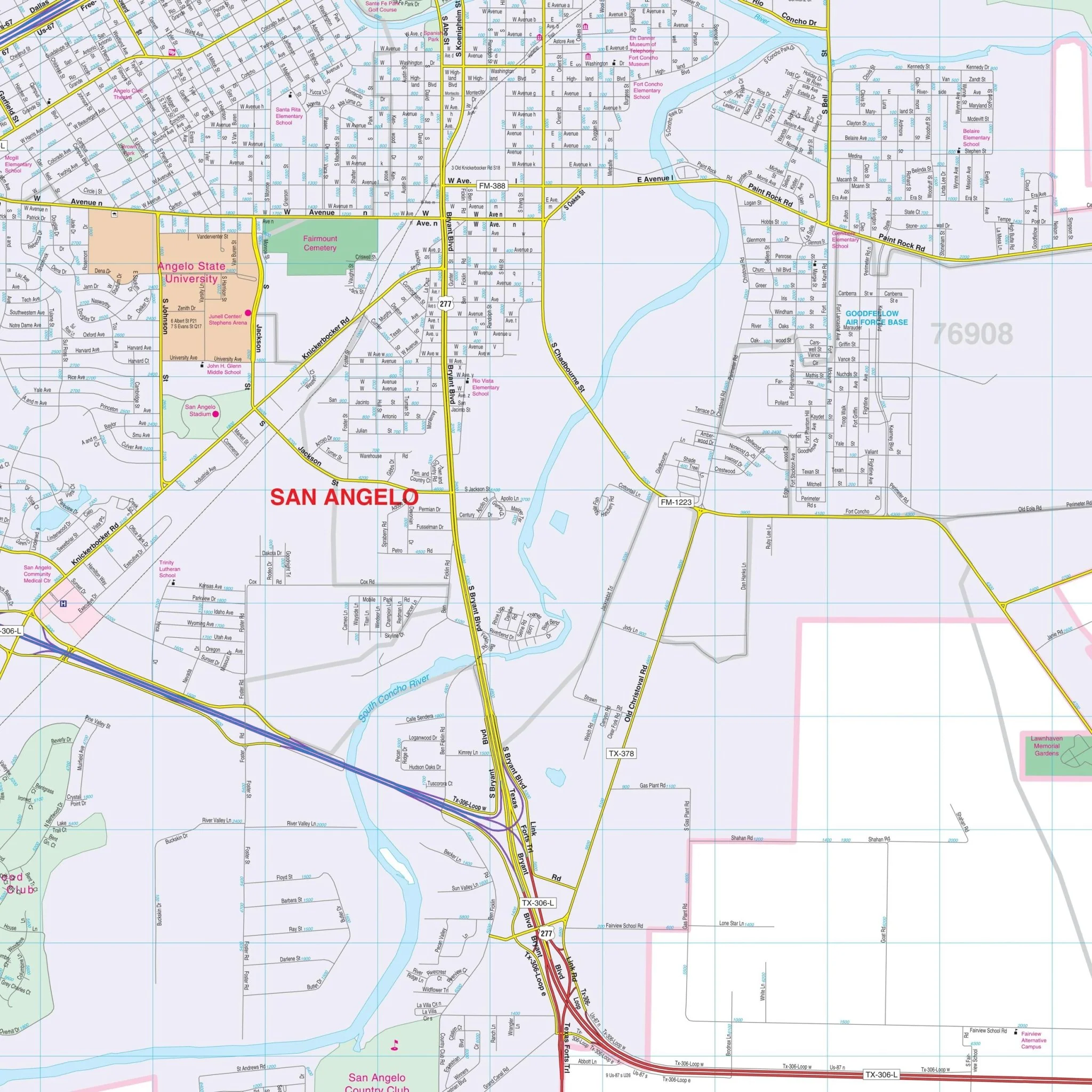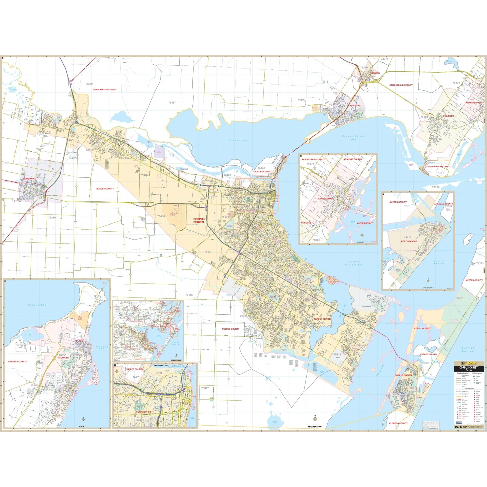

Corpus Christi, TX Wall Map
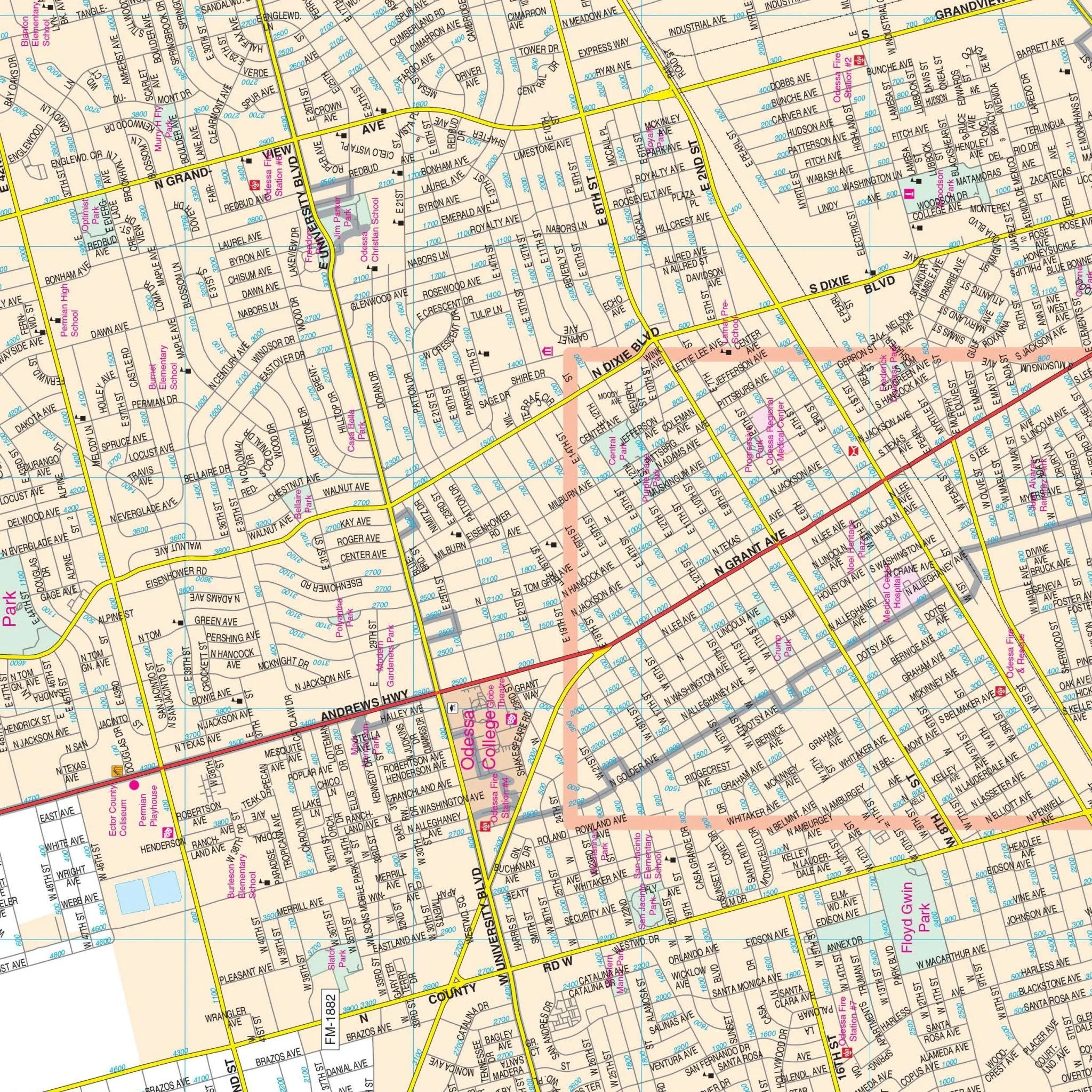
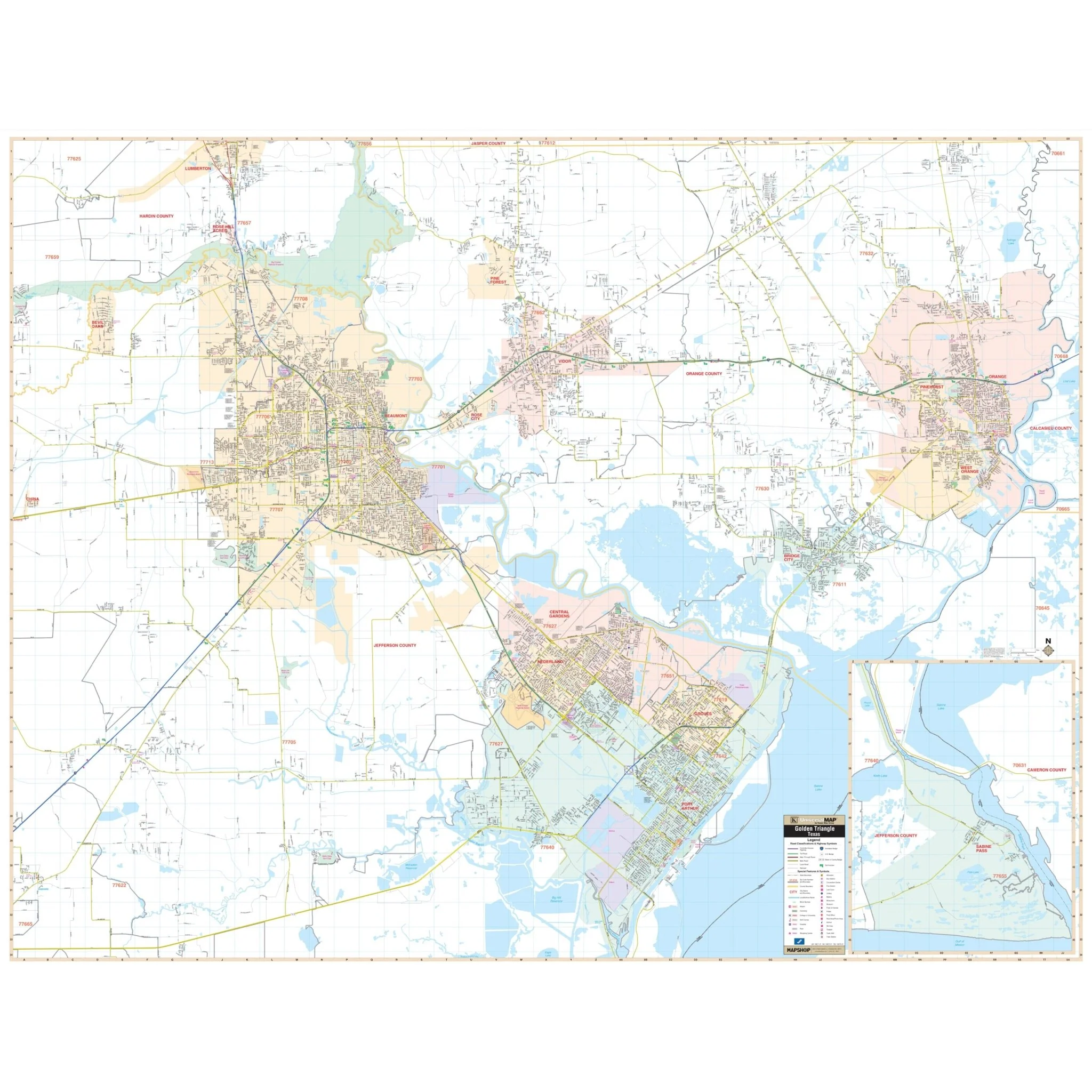
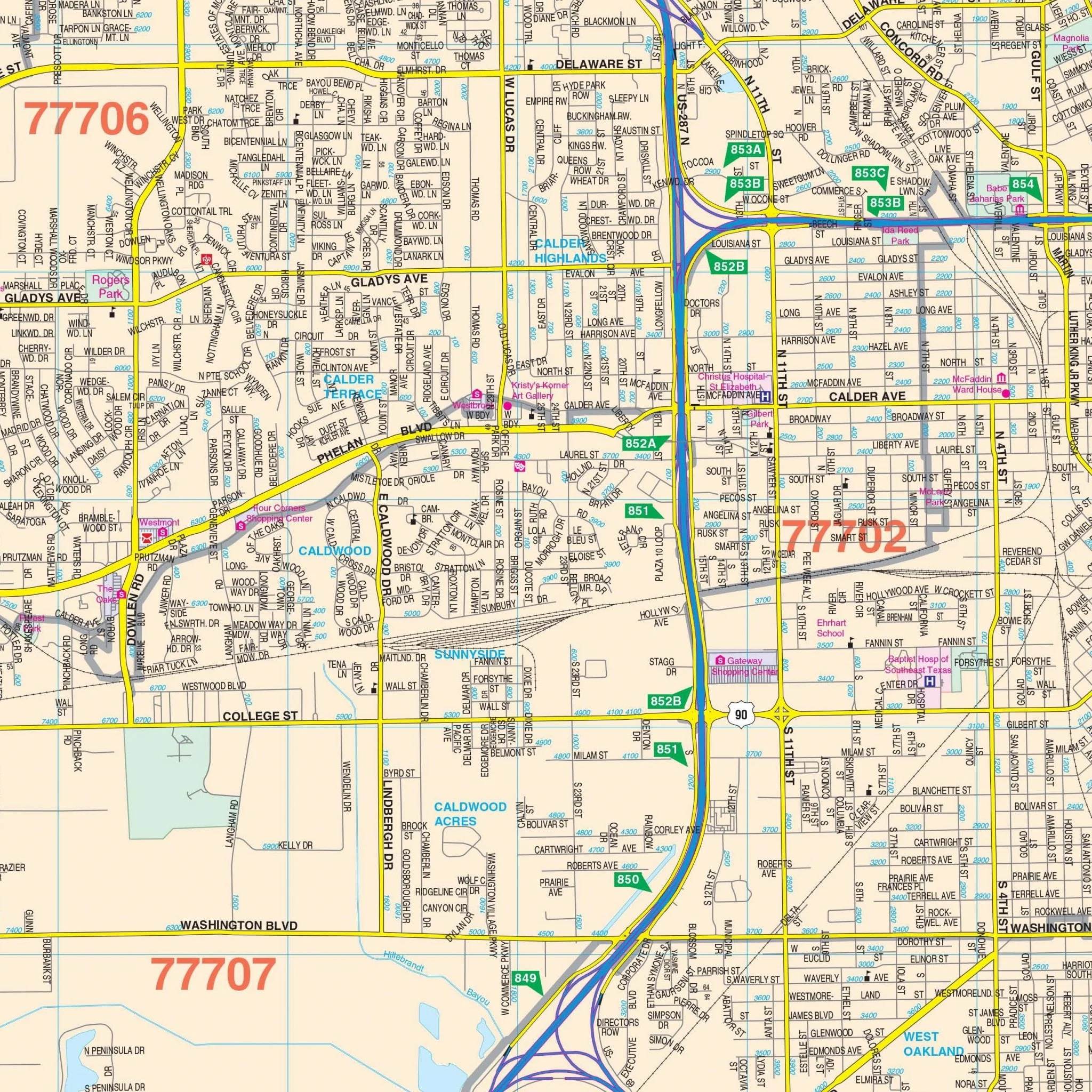
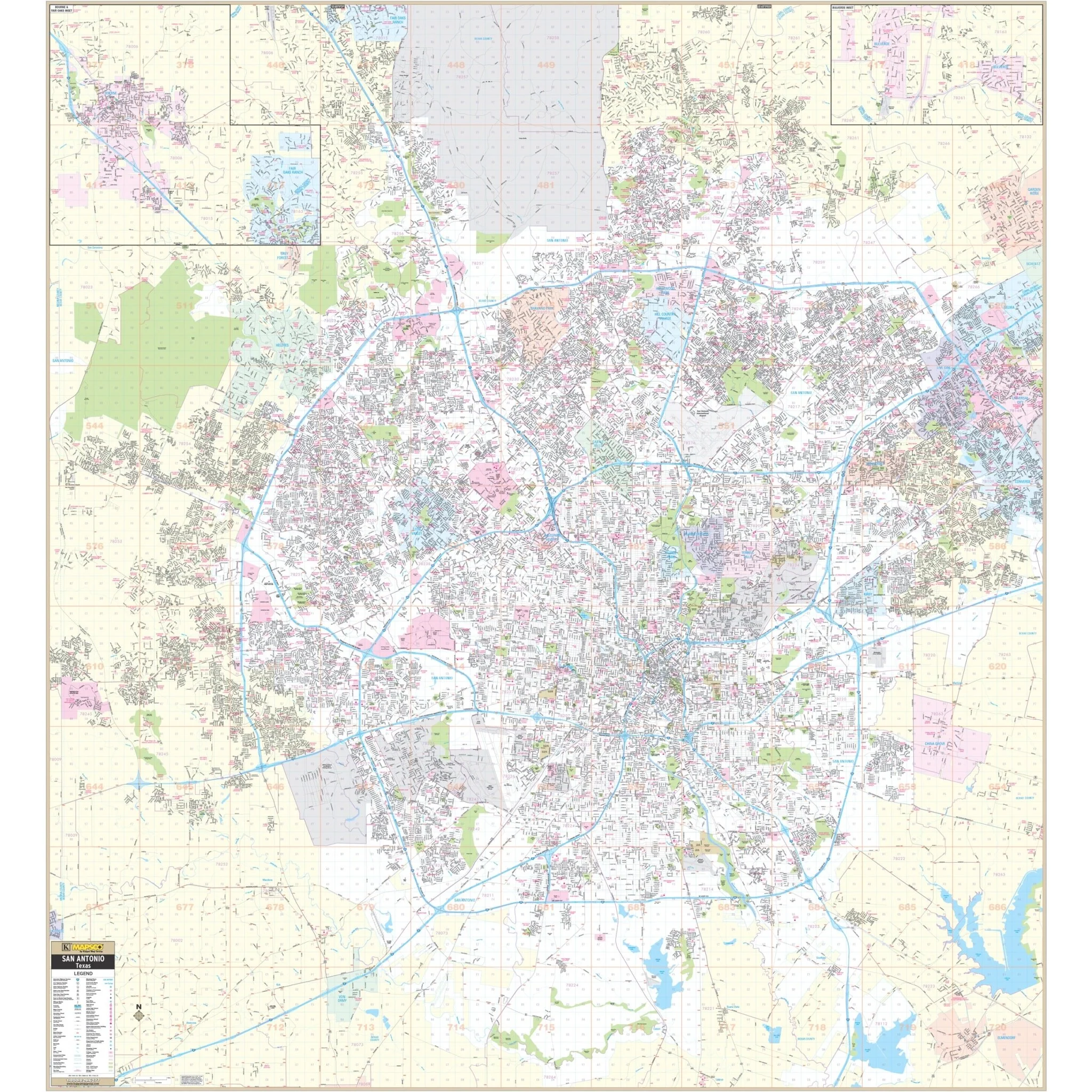
The Corpus Christi, TX Wall Map provides comprehensive coverage of the area with complete street detail. The map covers the following boundaries:
- North: Gregory, in San Patricio County
- South: The Kleberg-Nueces County line
- East: Mustang Island State Park
- West: Robstown
This wall map also includes insets of Port Aransas, Aransas Pass, Rockport, Fulton, Aransas County Airport, and Downtown Corpus Christi. It features various details and points of interest, such as airports, block numbers, cemeteries, color-coded city limits, educational institutions, fire and police stations, golf and country clubs, government buildings, hospitals, libraries, post offices, railroads, recreational parks, shopping centers, streets and highways, water features, and ZIP code boundaries.
Size: 69.5" x 54"
Published: 2012
Original: $149.99
-70%$149.99
$45.00Product Information
Product Information
Shipping & Returns
Shipping & Returns
Description
The Corpus Christi, TX Wall Map provides comprehensive coverage of the area with complete street detail. The map covers the following boundaries:
- North: Gregory, in San Patricio County
- South: The Kleberg-Nueces County line
- East: Mustang Island State Park
- West: Robstown
This wall map also includes insets of Port Aransas, Aransas Pass, Rockport, Fulton, Aransas County Airport, and Downtown Corpus Christi. It features various details and points of interest, such as airports, block numbers, cemeteries, color-coded city limits, educational institutions, fire and police stations, golf and country clubs, government buildings, hospitals, libraries, post offices, railroads, recreational parks, shopping centers, streets and highways, water features, and ZIP code boundaries.
Size: 69.5" x 54"
Published: 2012