


Texas State Wall Map
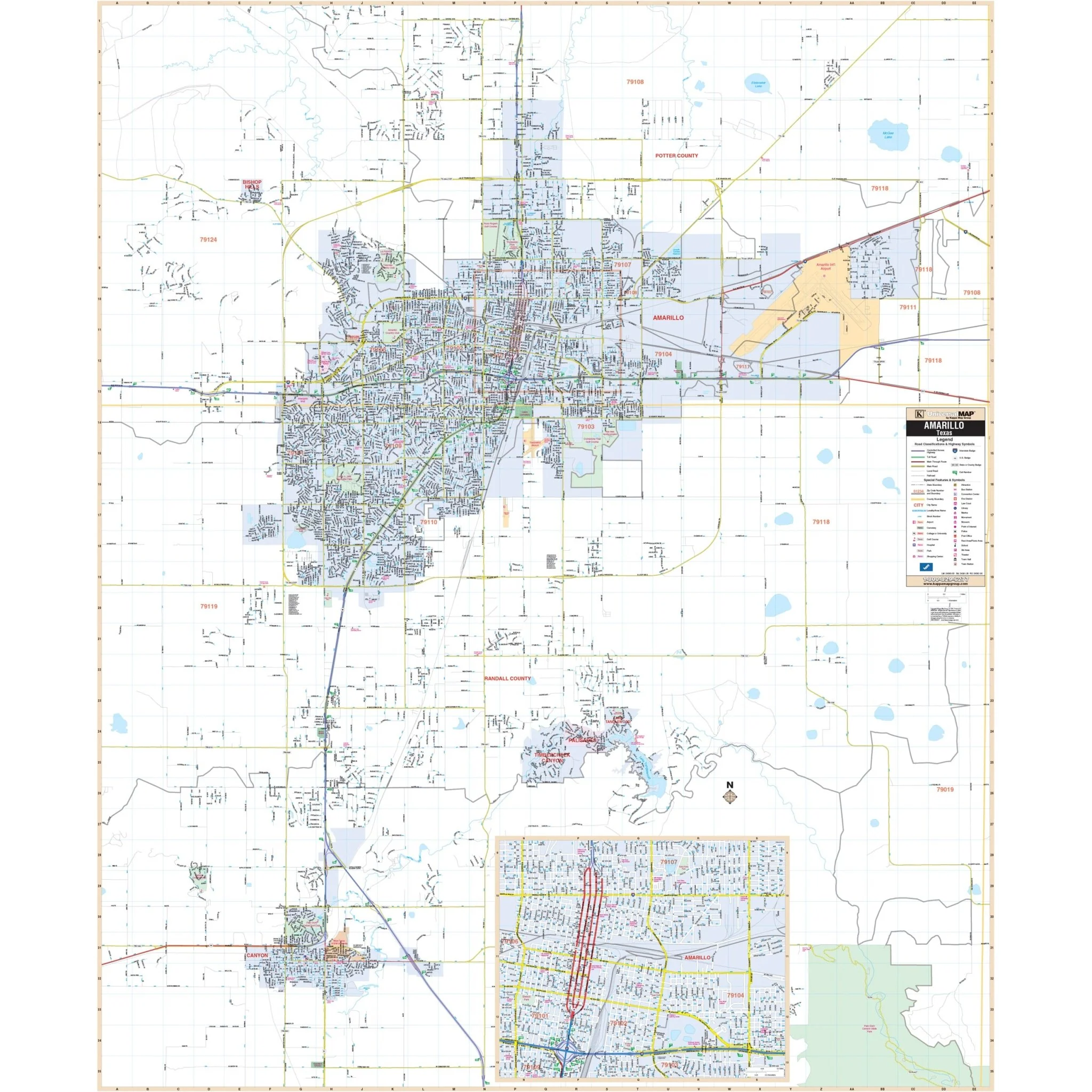
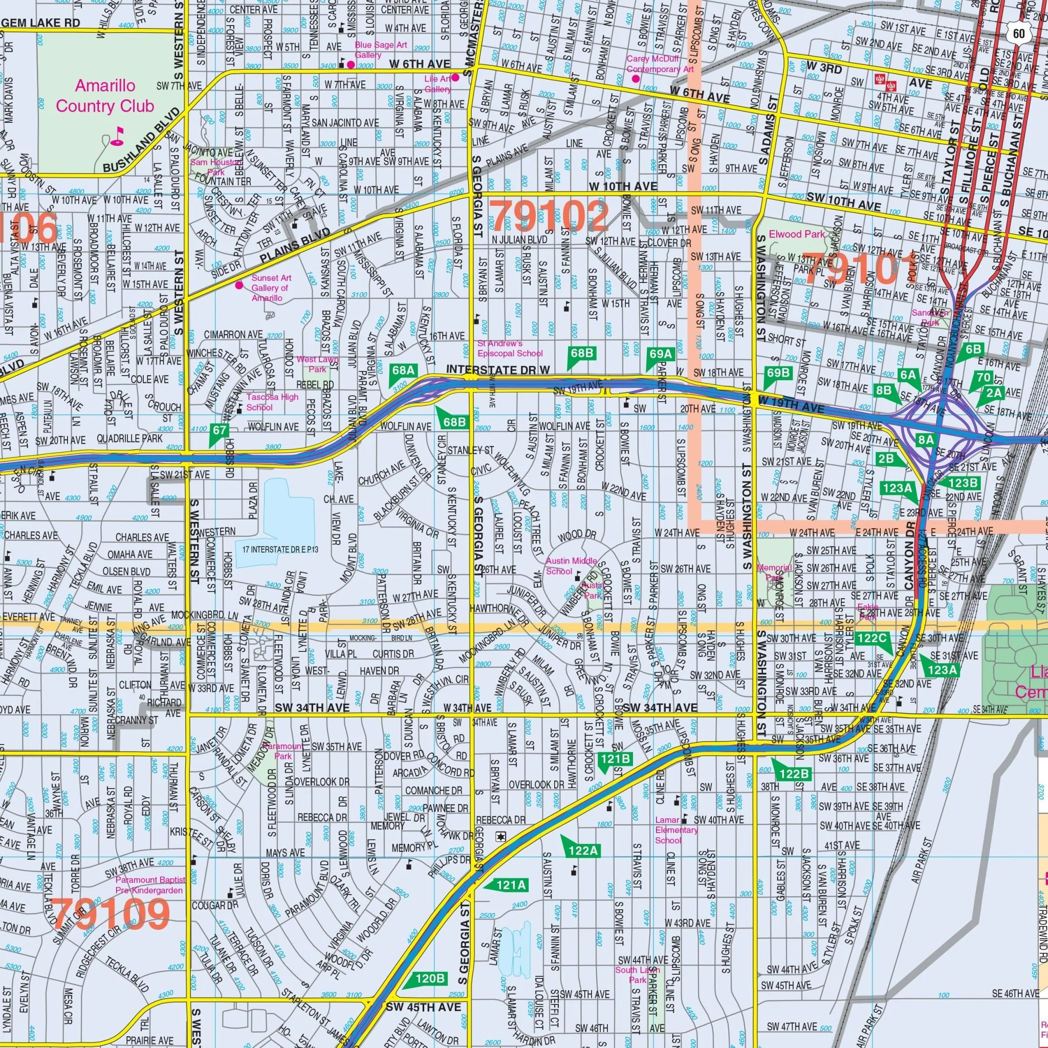
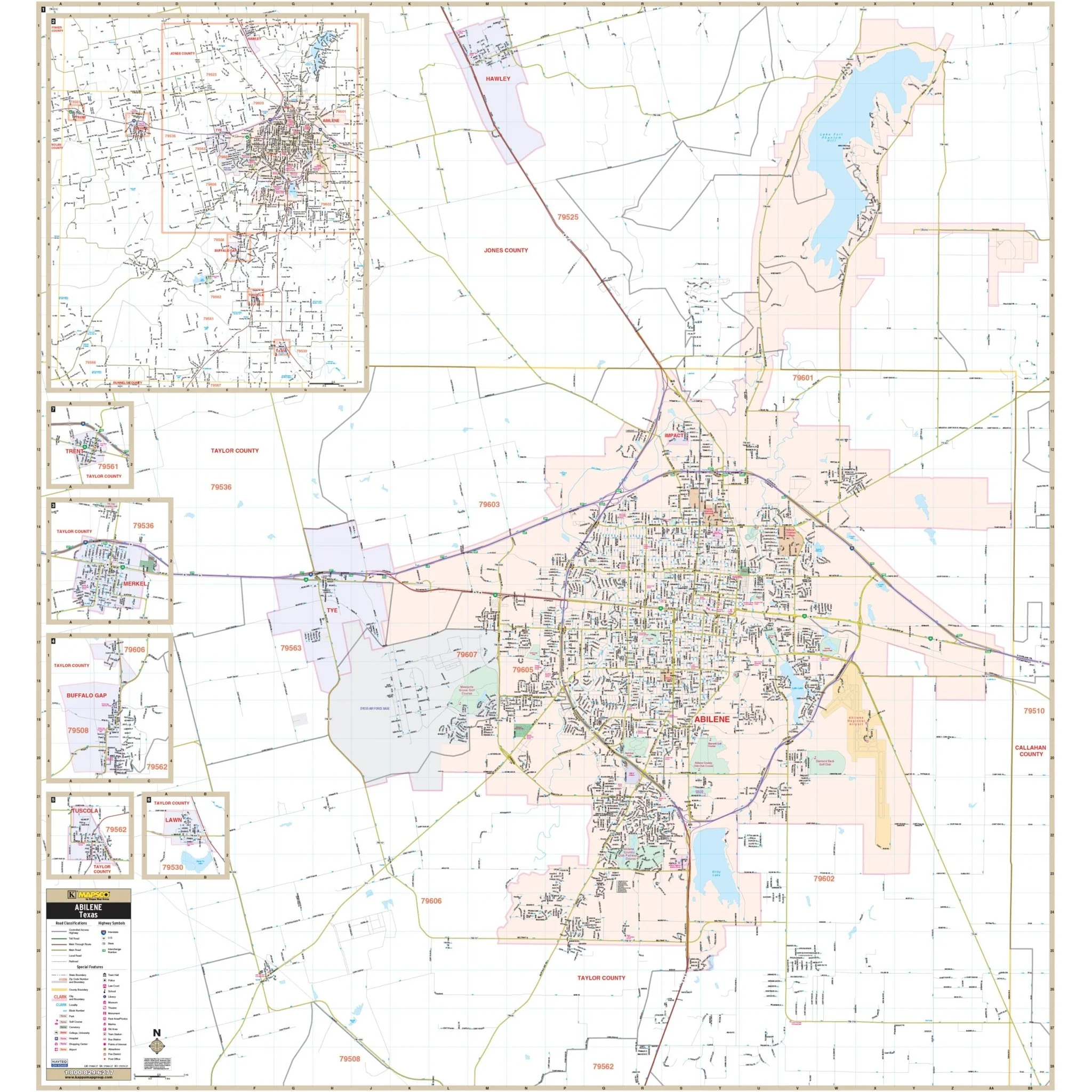
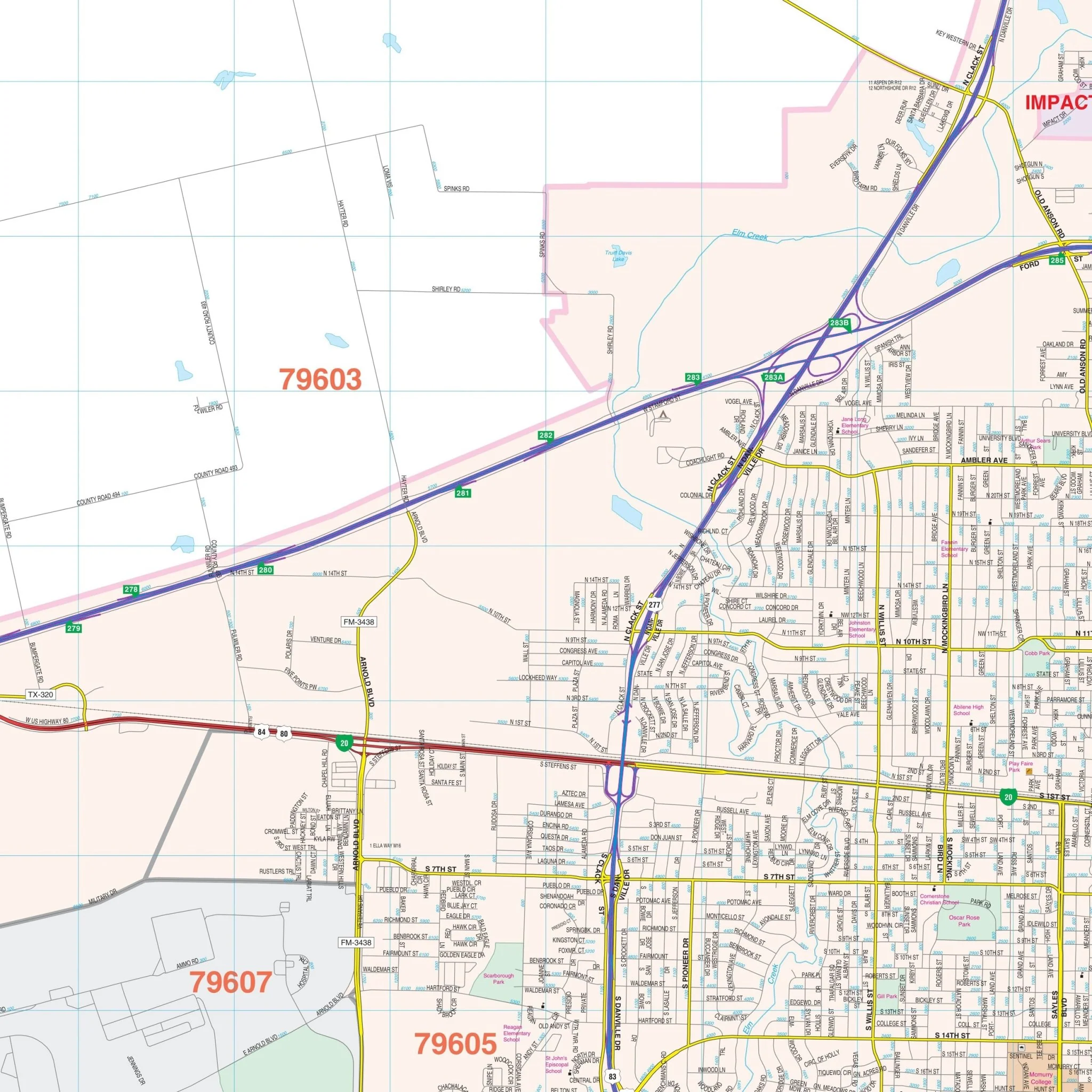
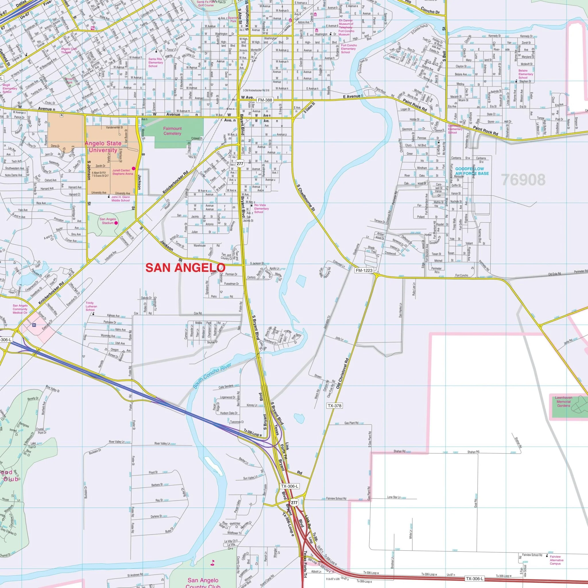
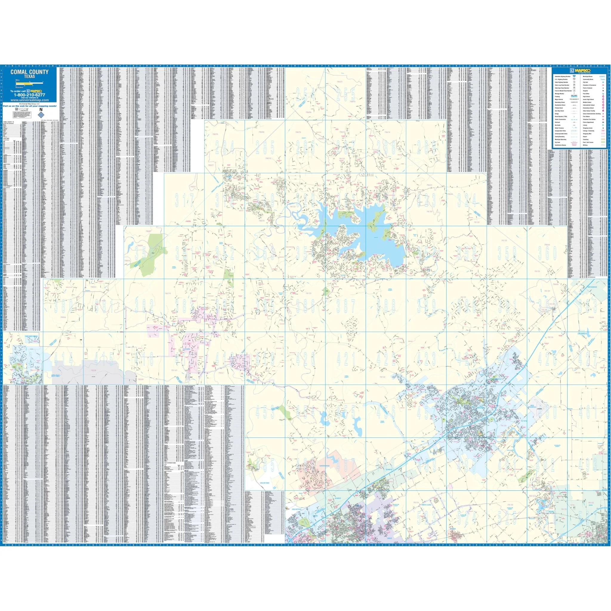
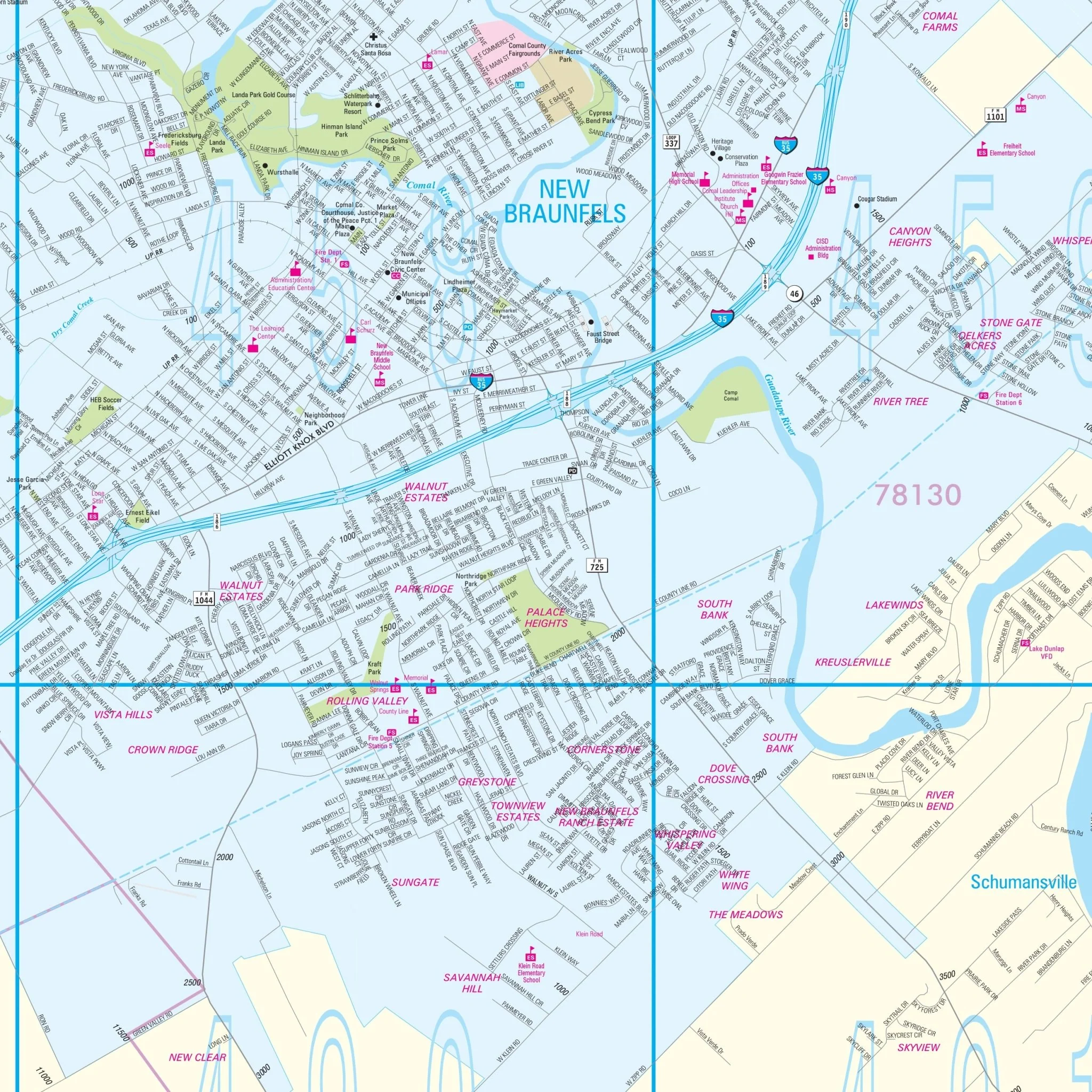
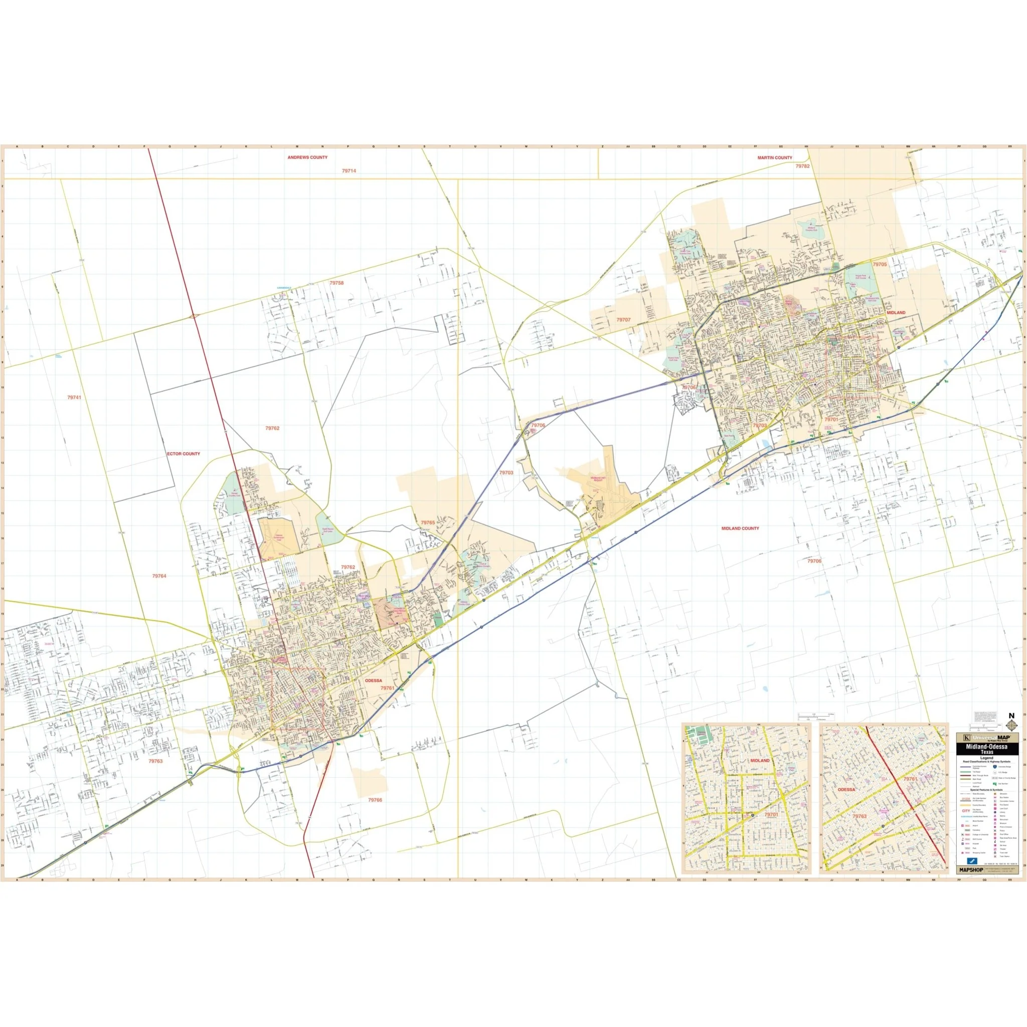
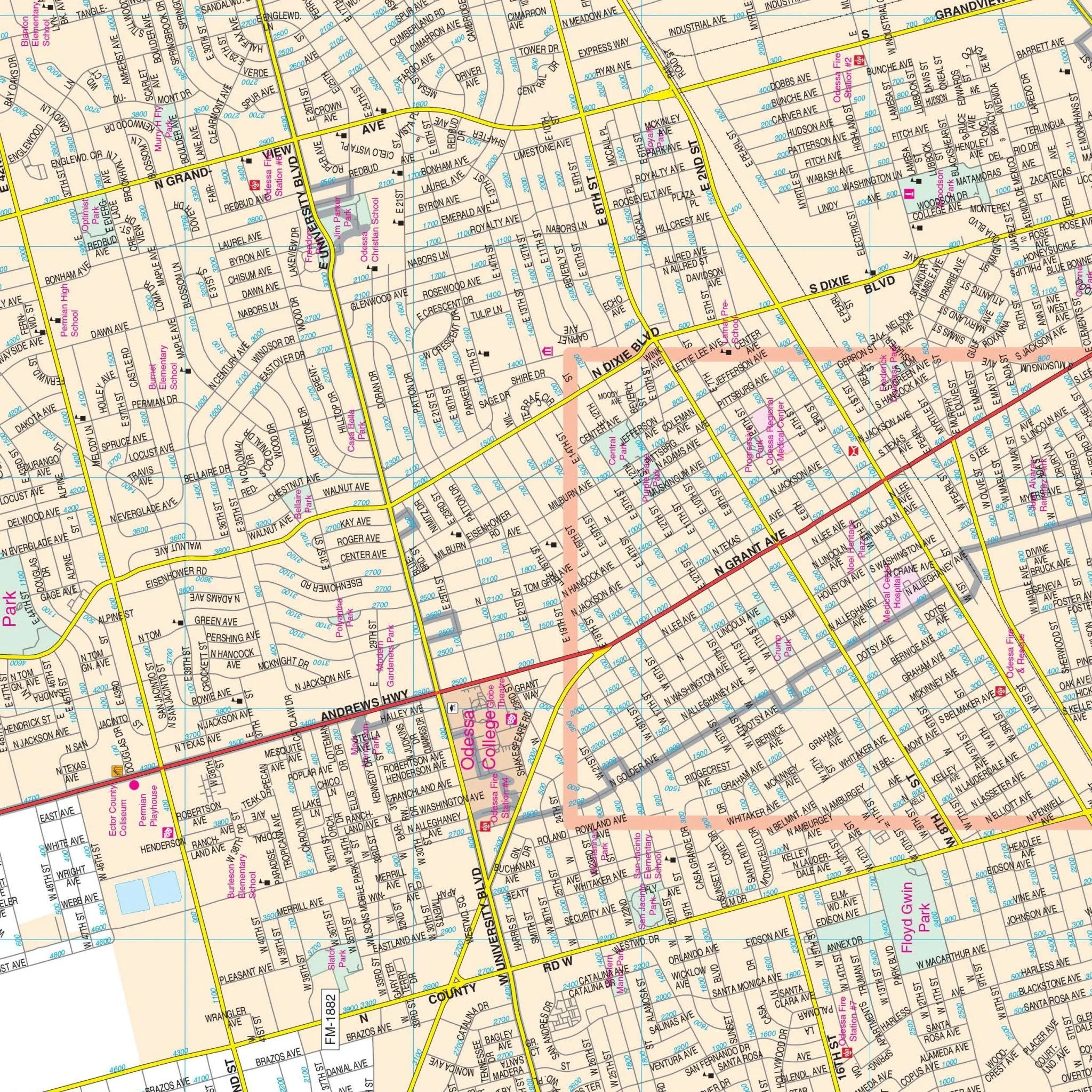
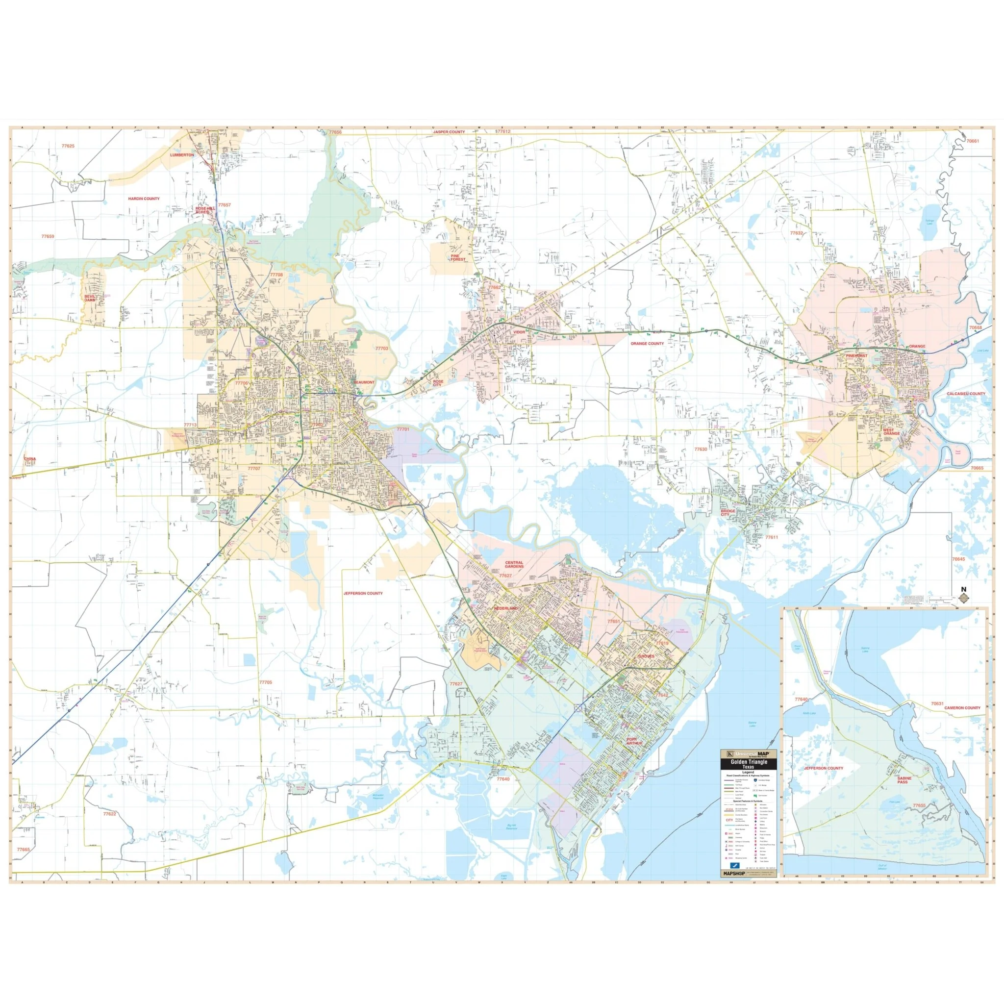
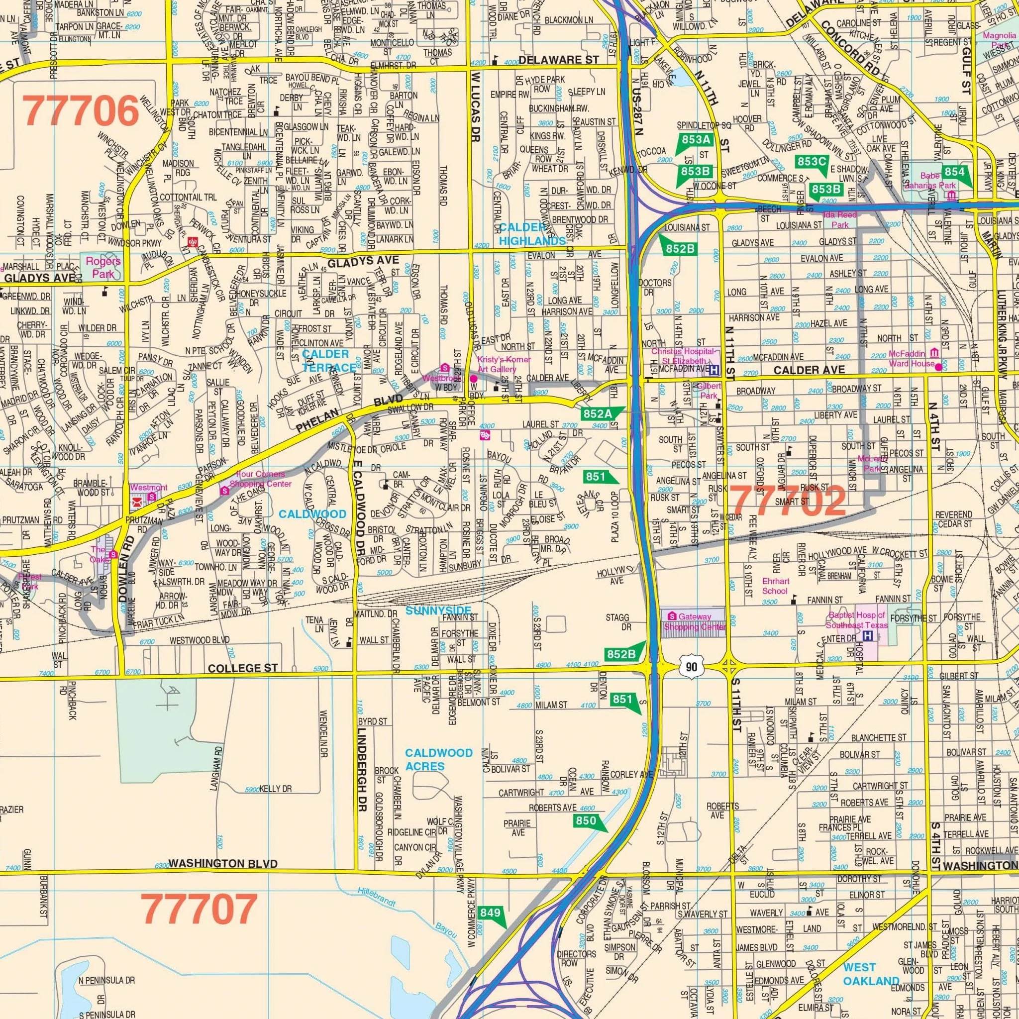
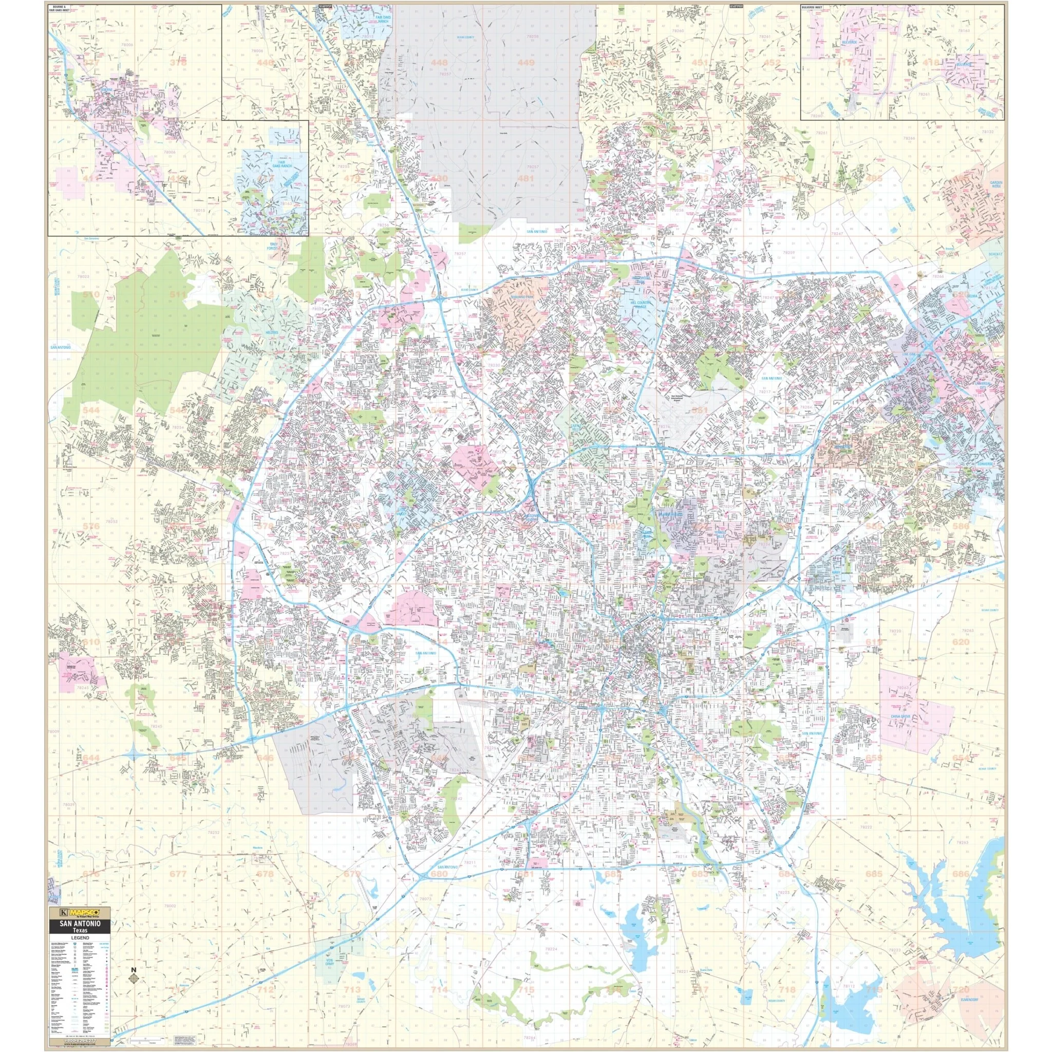
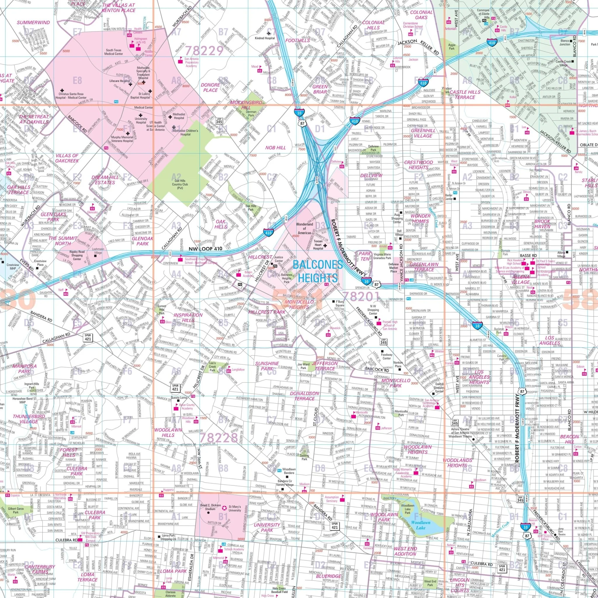
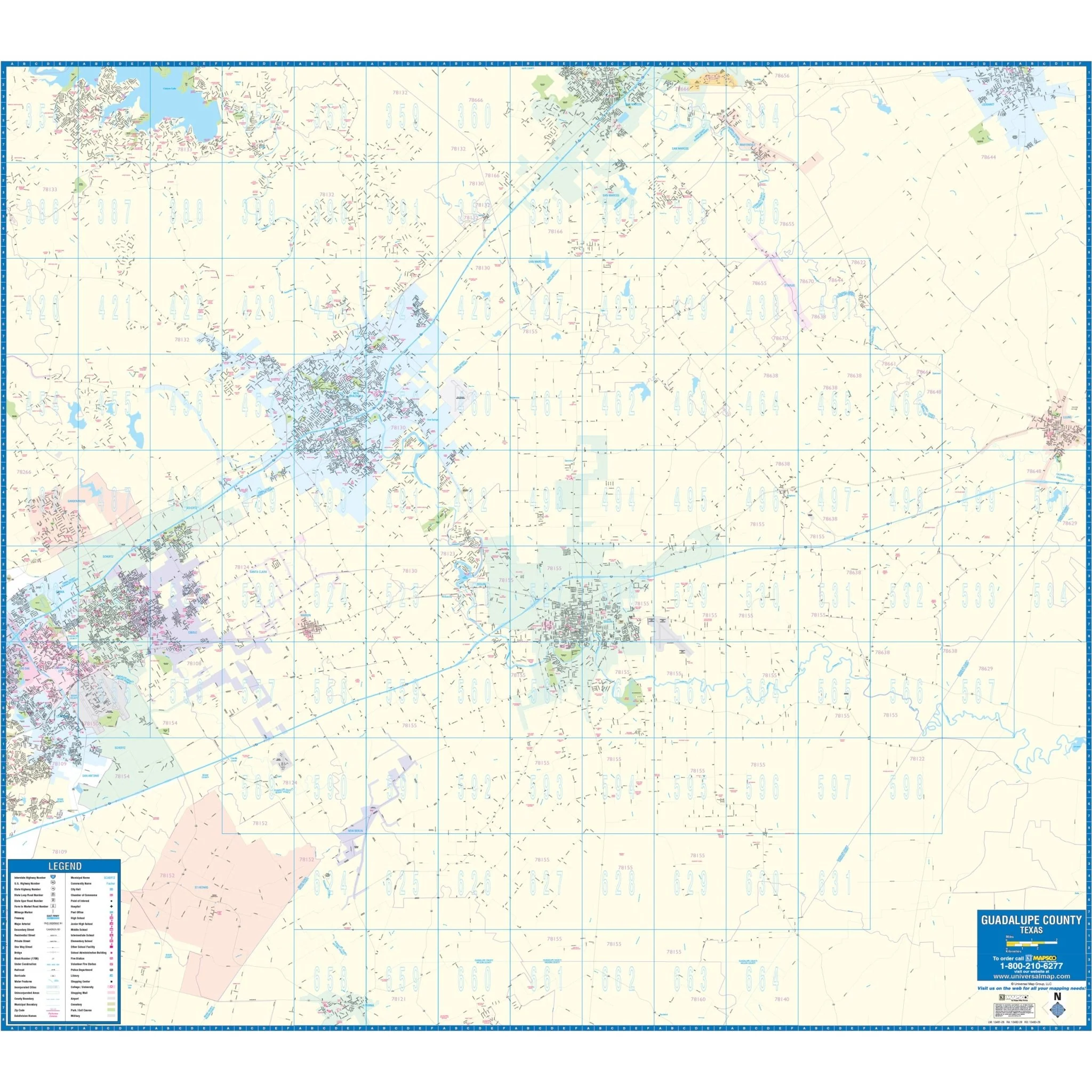
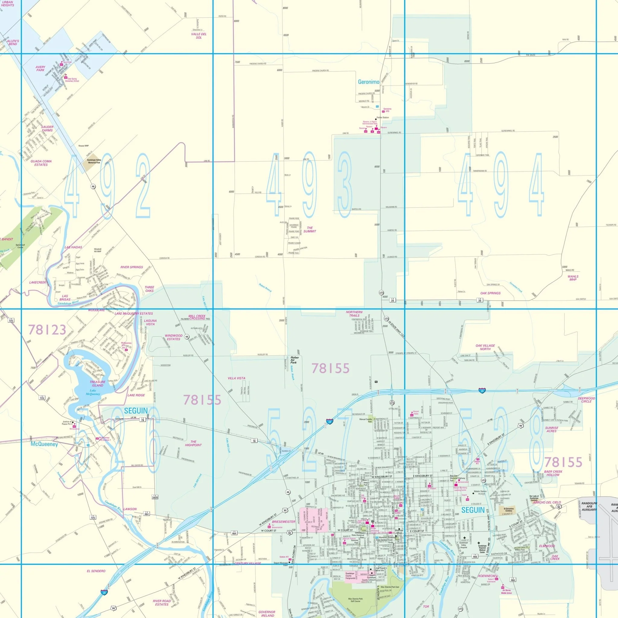
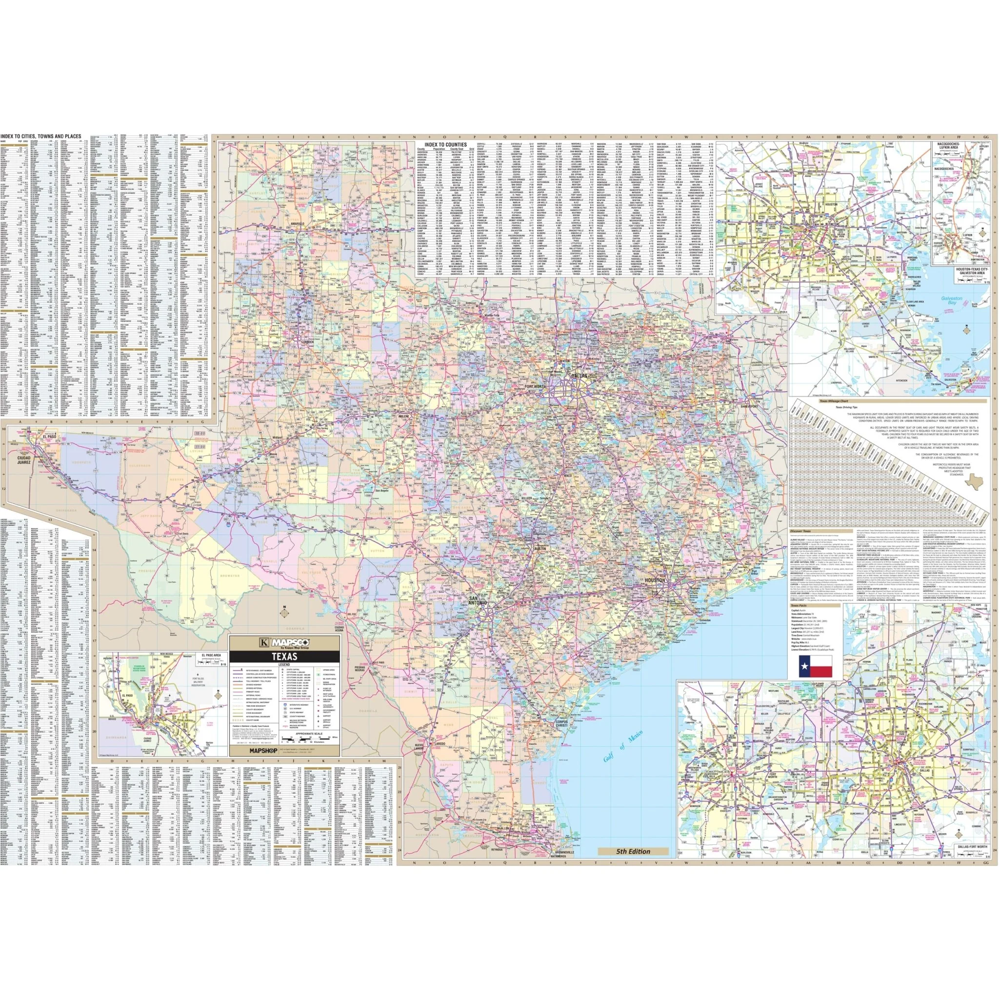
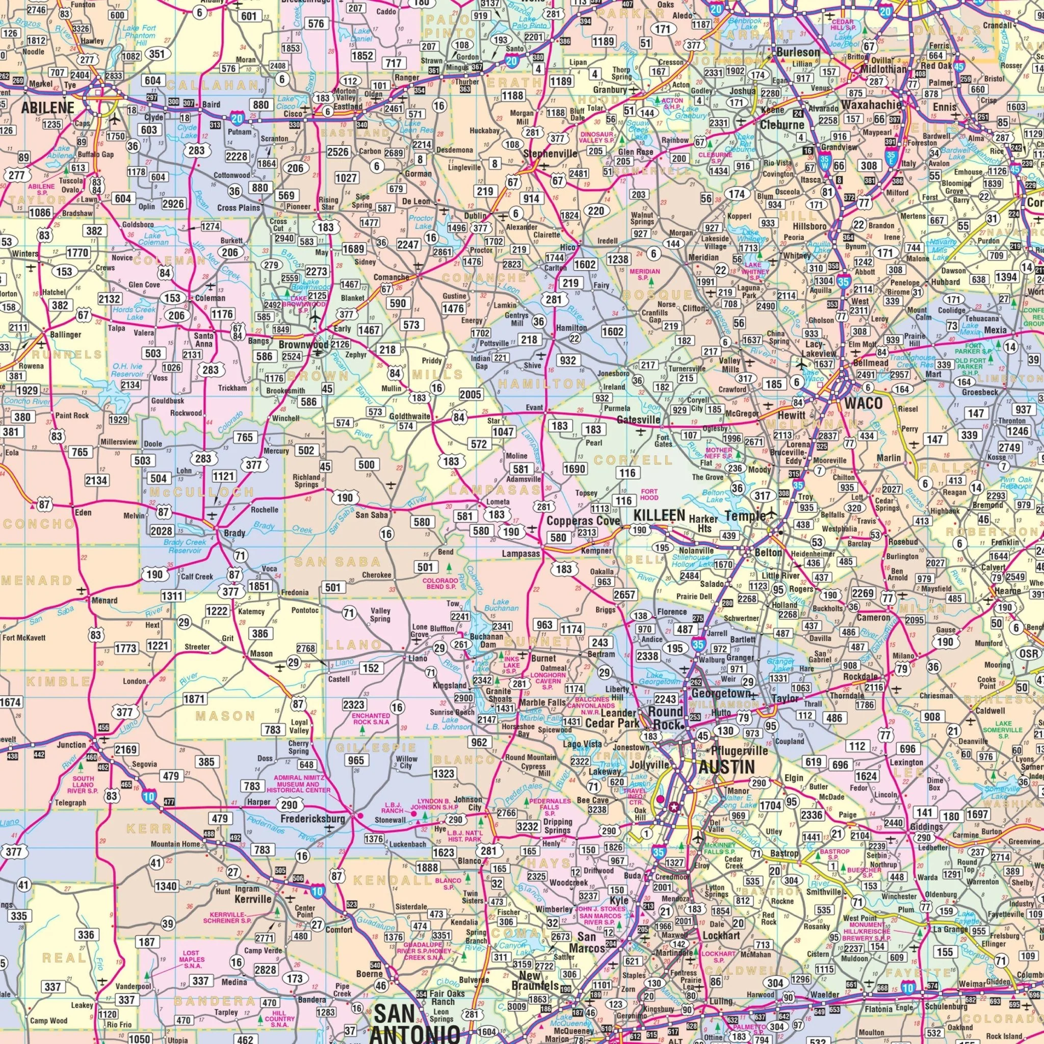
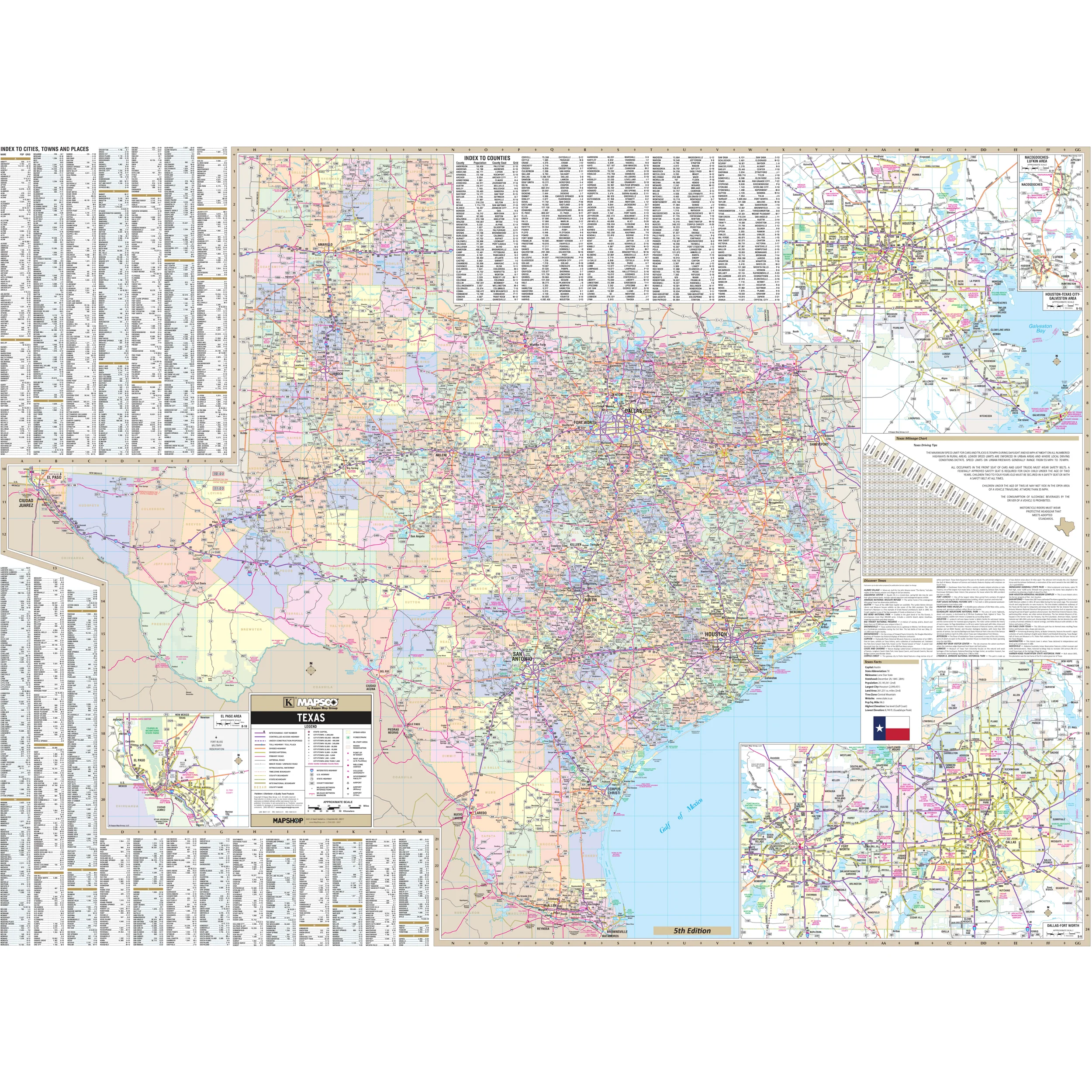
The Texas Wall Map by Kappa Map Group is a comprehensive and informative resource for understanding the state of Texas. It includes color-coded counties for easy reference and features a mileage chart to assist with travel planning between major cities. The map also offers a City/County Index directly on the face of the map, along with a State of Texas fact Index and a Discover Texas Index of Parks and Historical Sites.
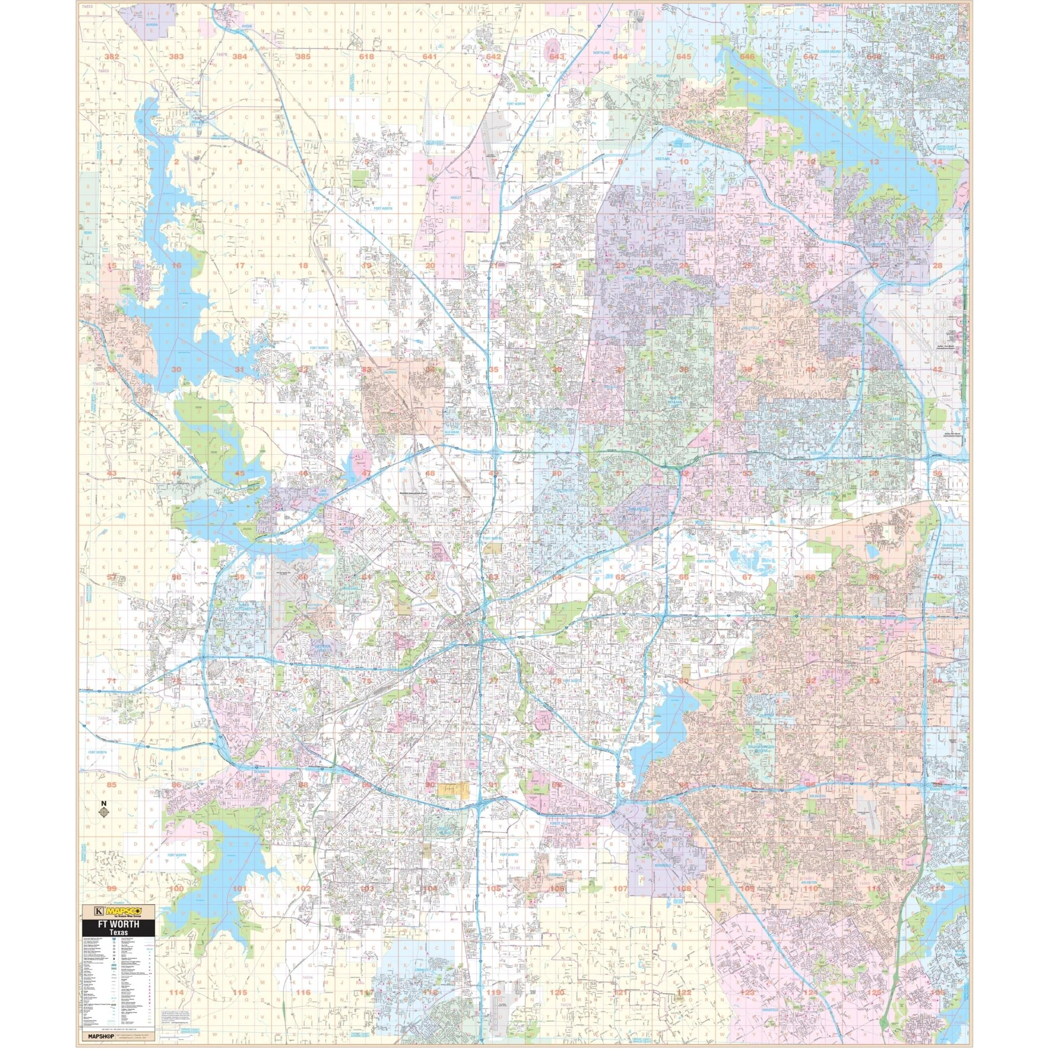
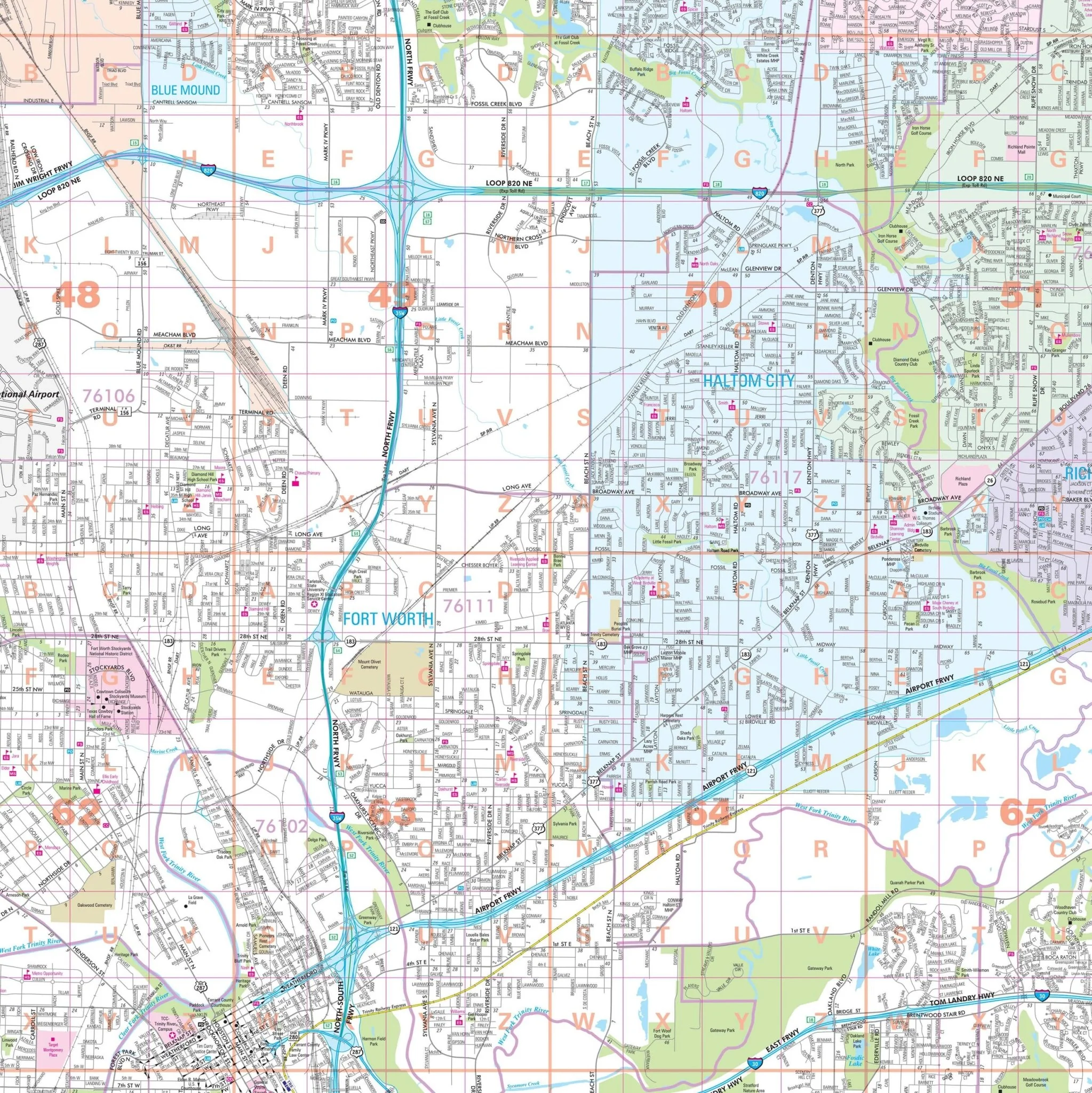
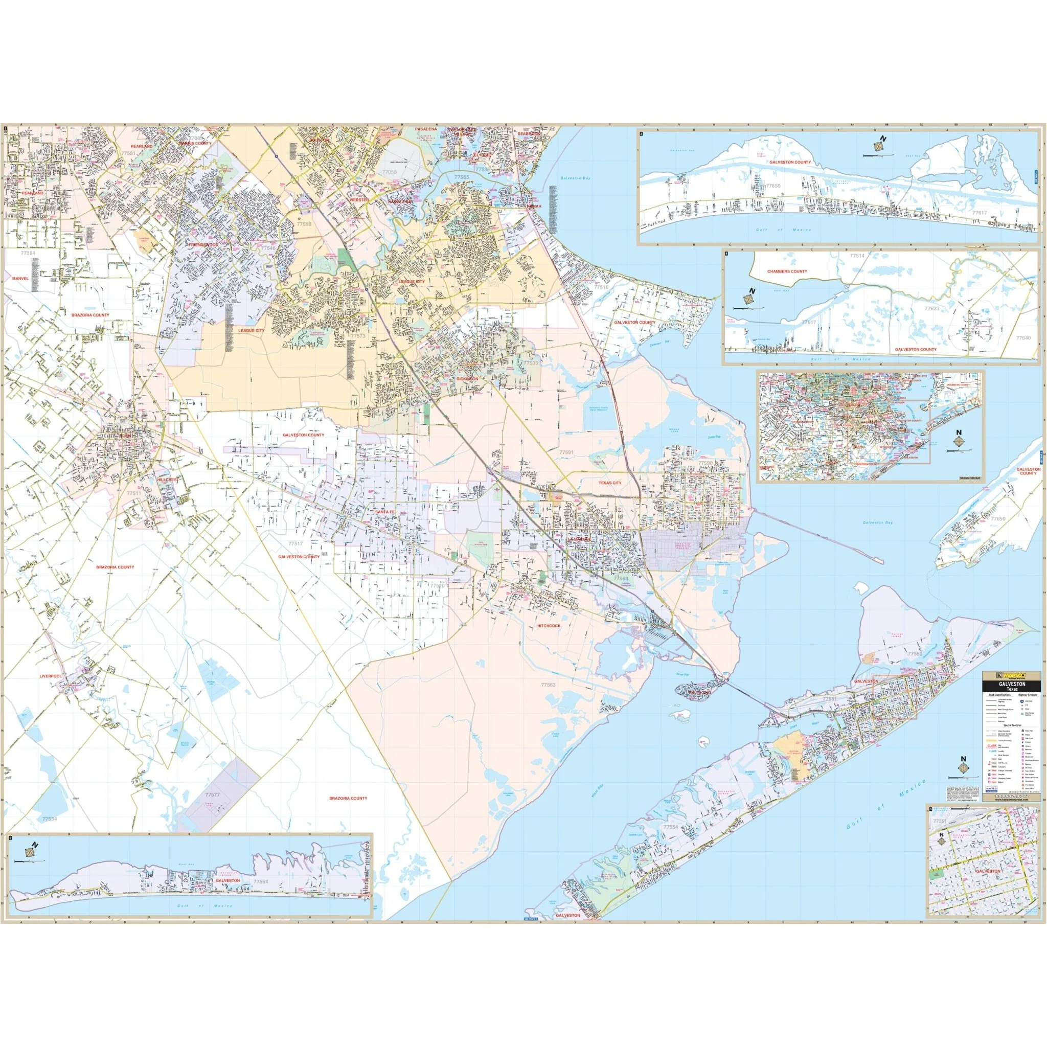
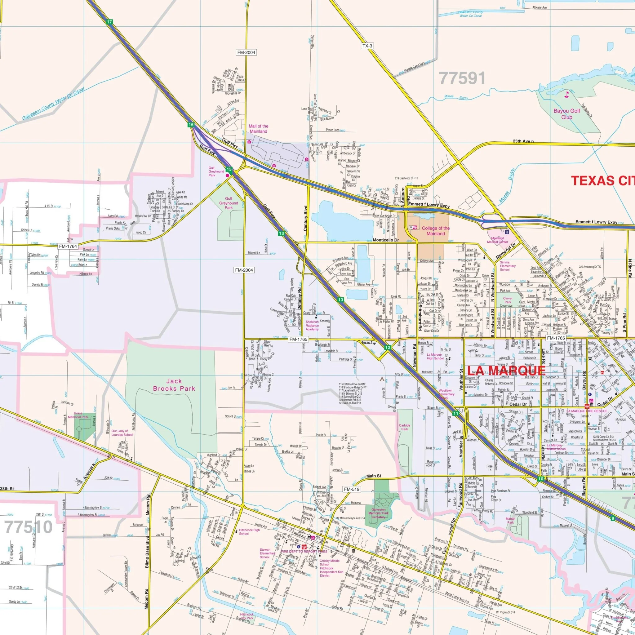
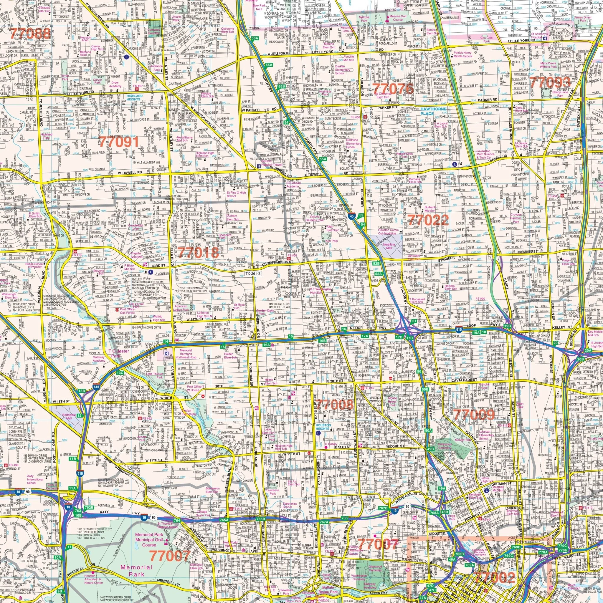
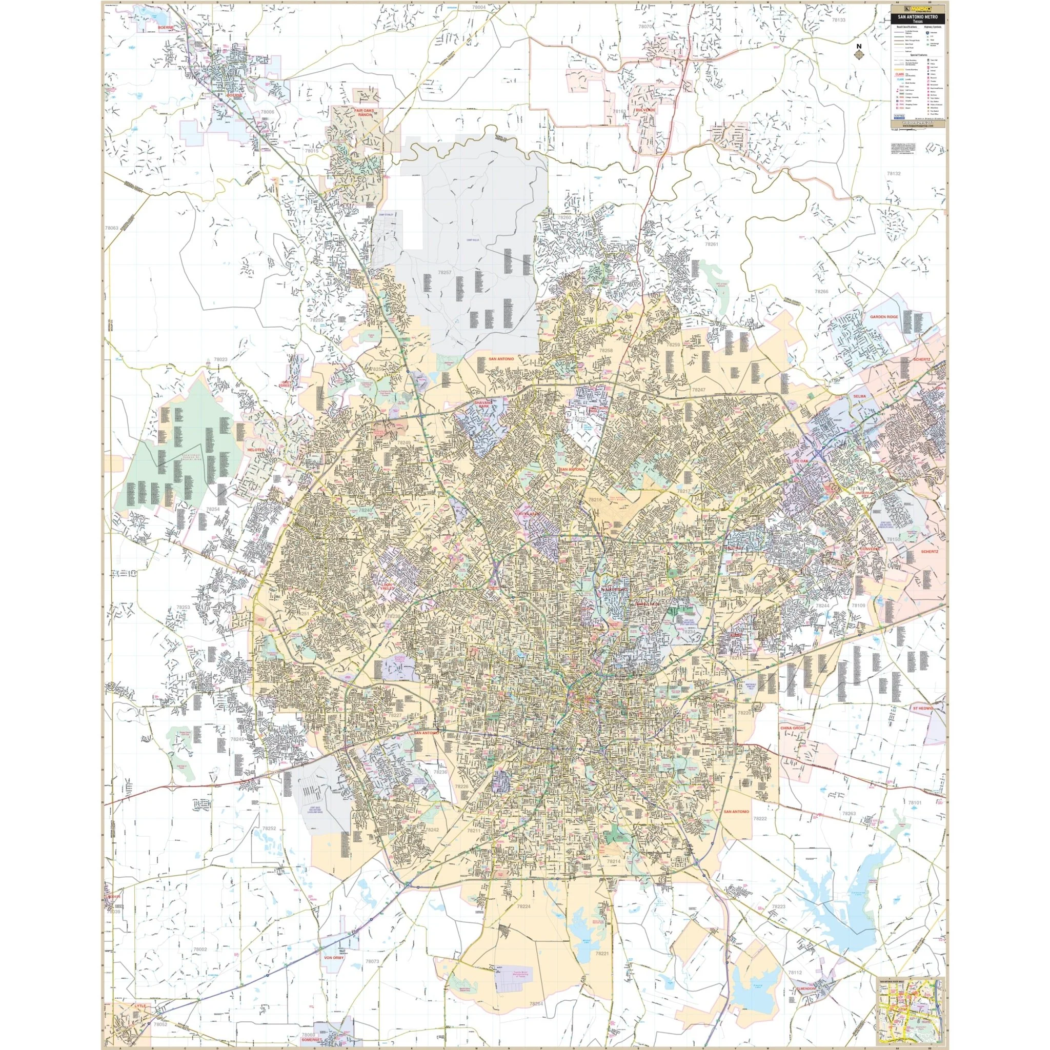
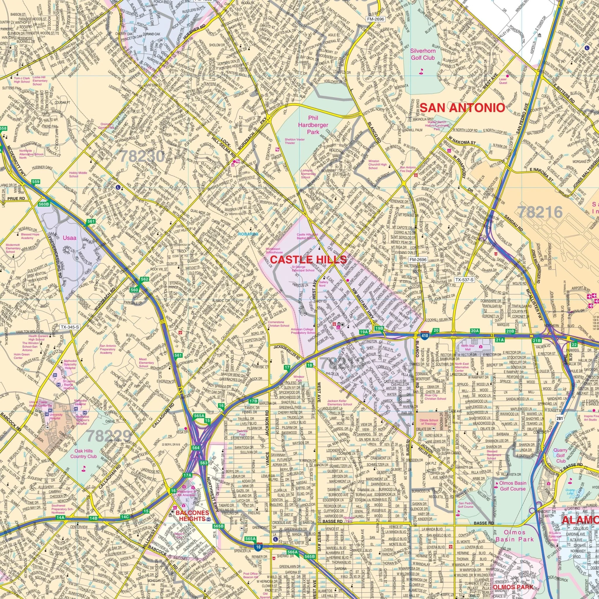
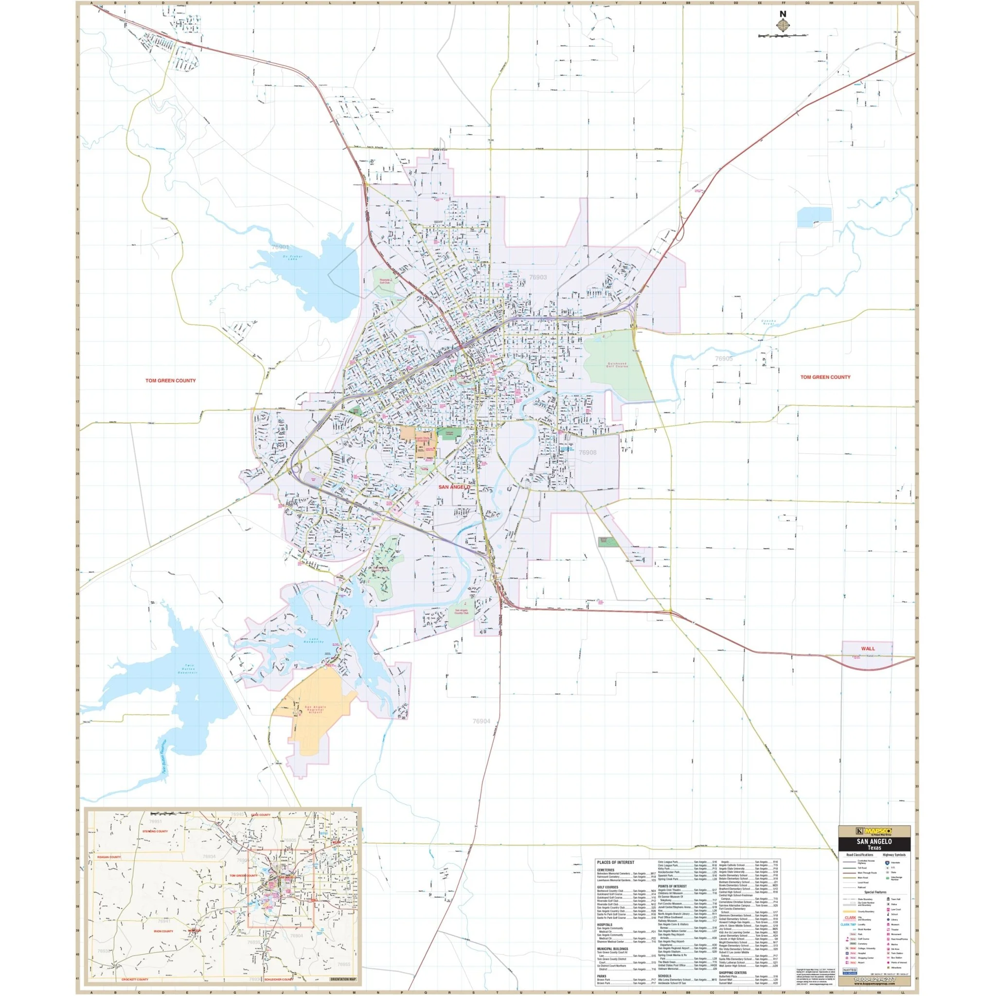
In terms of content, the map details all state and federal highways, major waterways, state universities, military installations, major airports, wildlife areas, cities, state parks, county names, time zones, and numerous points of interest. Insets are provided for key areas, including Dallas/Ft. Worth, Houston/Texas City/Galveston, Nacogdoches-Lufkin, and the El Paso Areas.
This map is an invaluable tool for residents, travelers, educators, and professionals seeking a detailed geographic overview of Texas, including its infrastructure, natural features, and significant points of interest.
Size: 67.5" x 53"
Published: 2013
Original: $149.99
-70%$149.99
$45.00Product Information
Product Information
Shipping & Returns
Shipping & Returns
Description
The Texas Wall Map by Kappa Map Group is a comprehensive and informative resource for understanding the state of Texas. It includes color-coded counties for easy reference and features a mileage chart to assist with travel planning between major cities. The map also offers a City/County Index directly on the face of the map, along with a State of Texas fact Index and a Discover Texas Index of Parks and Historical Sites.
In terms of content, the map details all state and federal highways, major waterways, state universities, military installations, major airports, wildlife areas, cities, state parks, county names, time zones, and numerous points of interest. Insets are provided for key areas, including Dallas/Ft. Worth, Houston/Texas City/Galveston, Nacogdoches-Lufkin, and the El Paso Areas.
This map is an invaluable tool for residents, travelers, educators, and professionals seeking a detailed geographic overview of Texas, including its infrastructure, natural features, and significant points of interest.
Size: 67.5" x 53"
Published: 2013