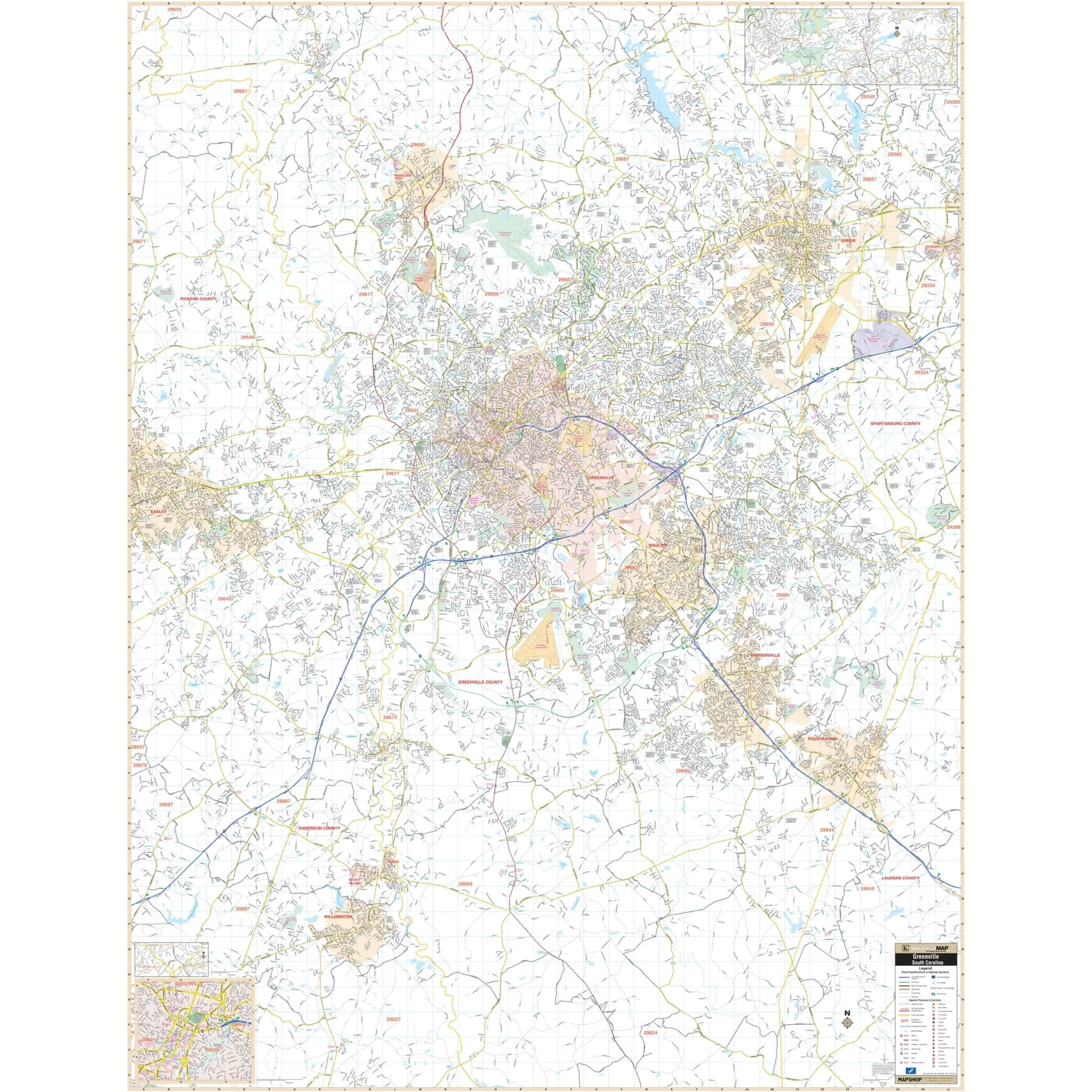
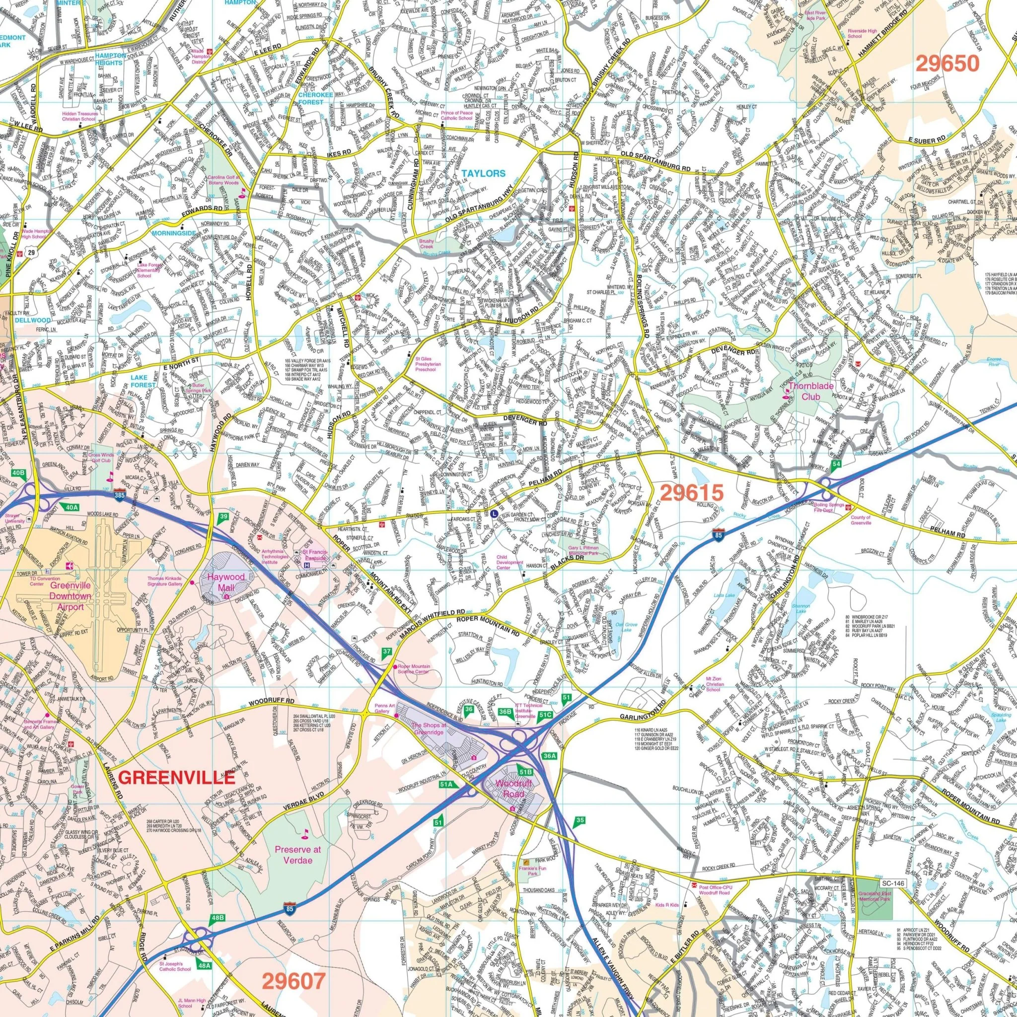
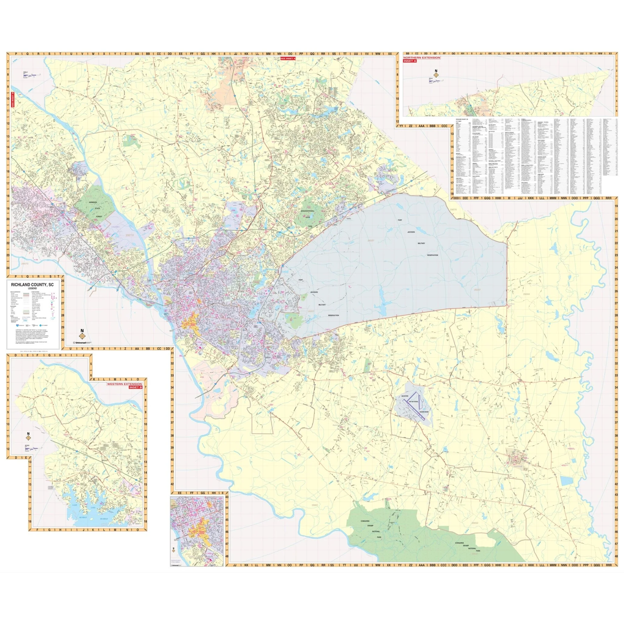
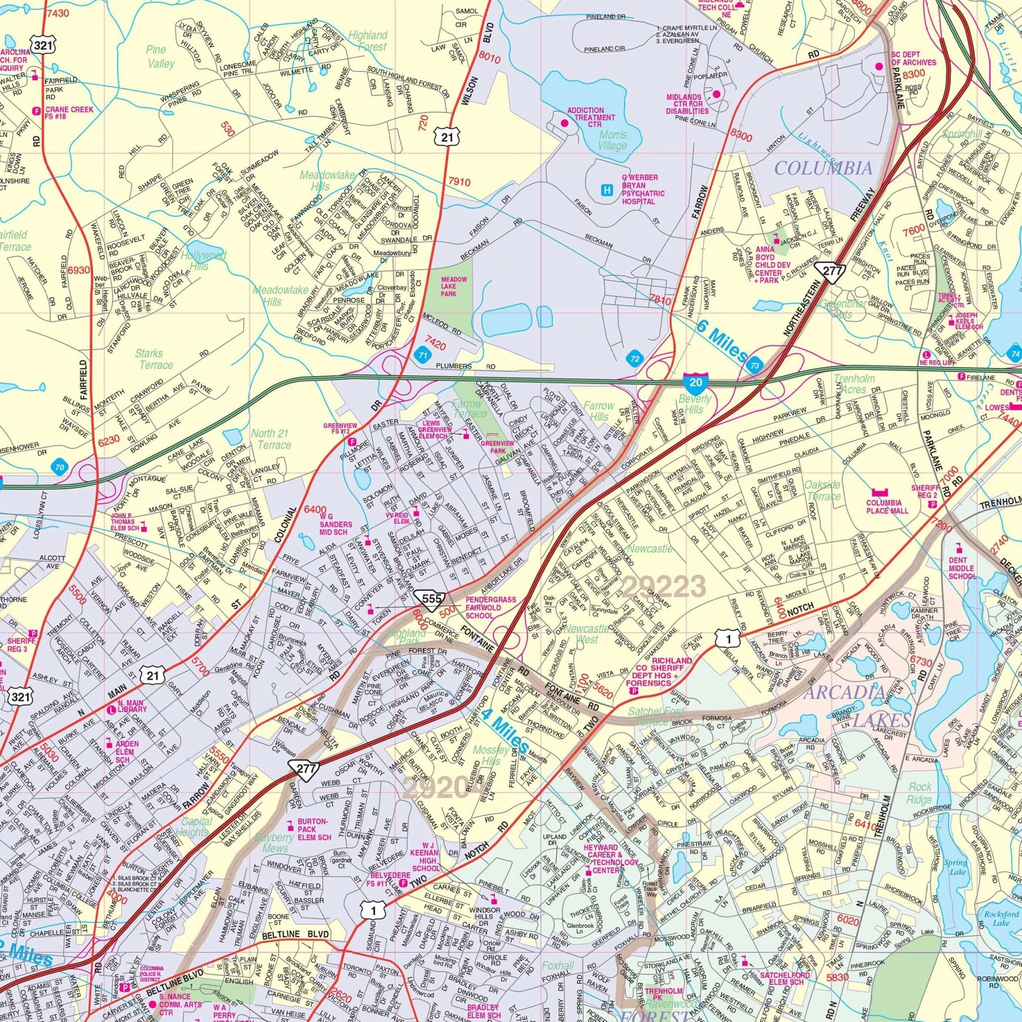
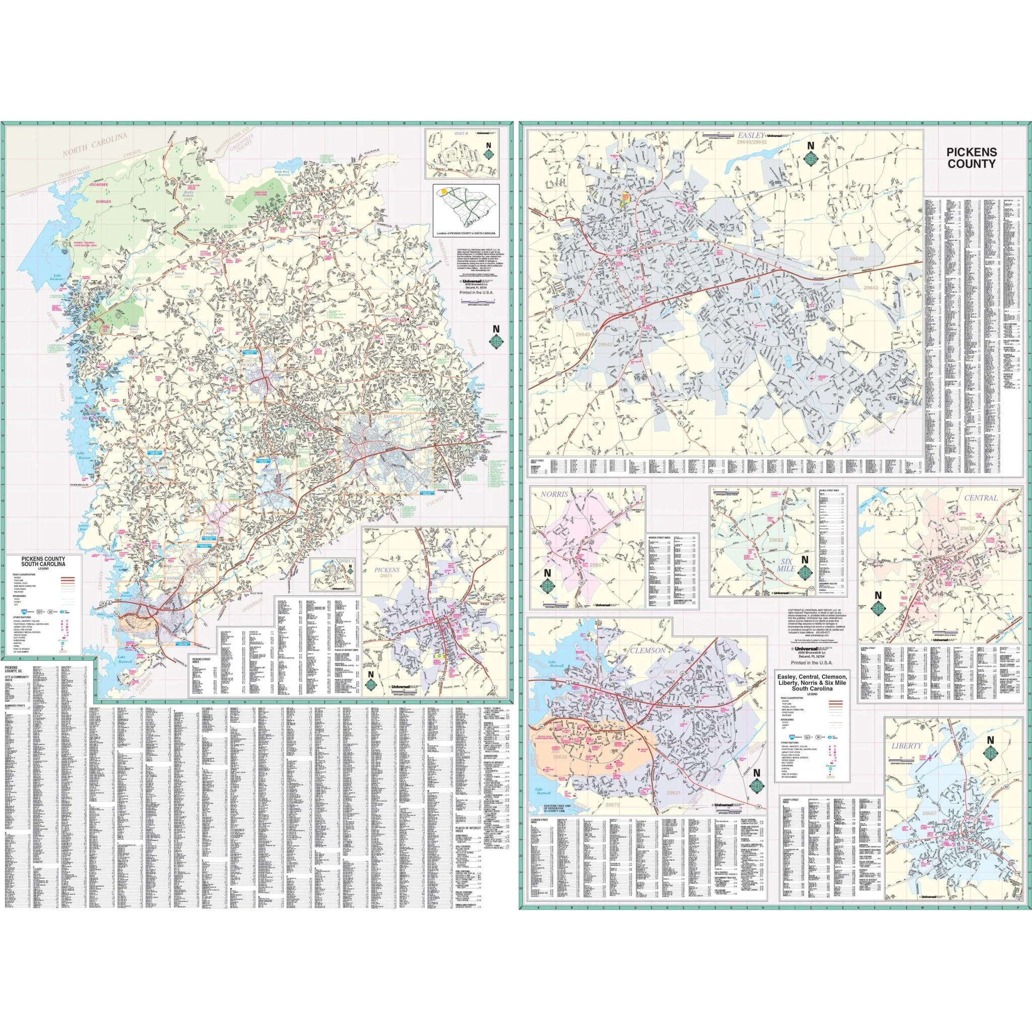
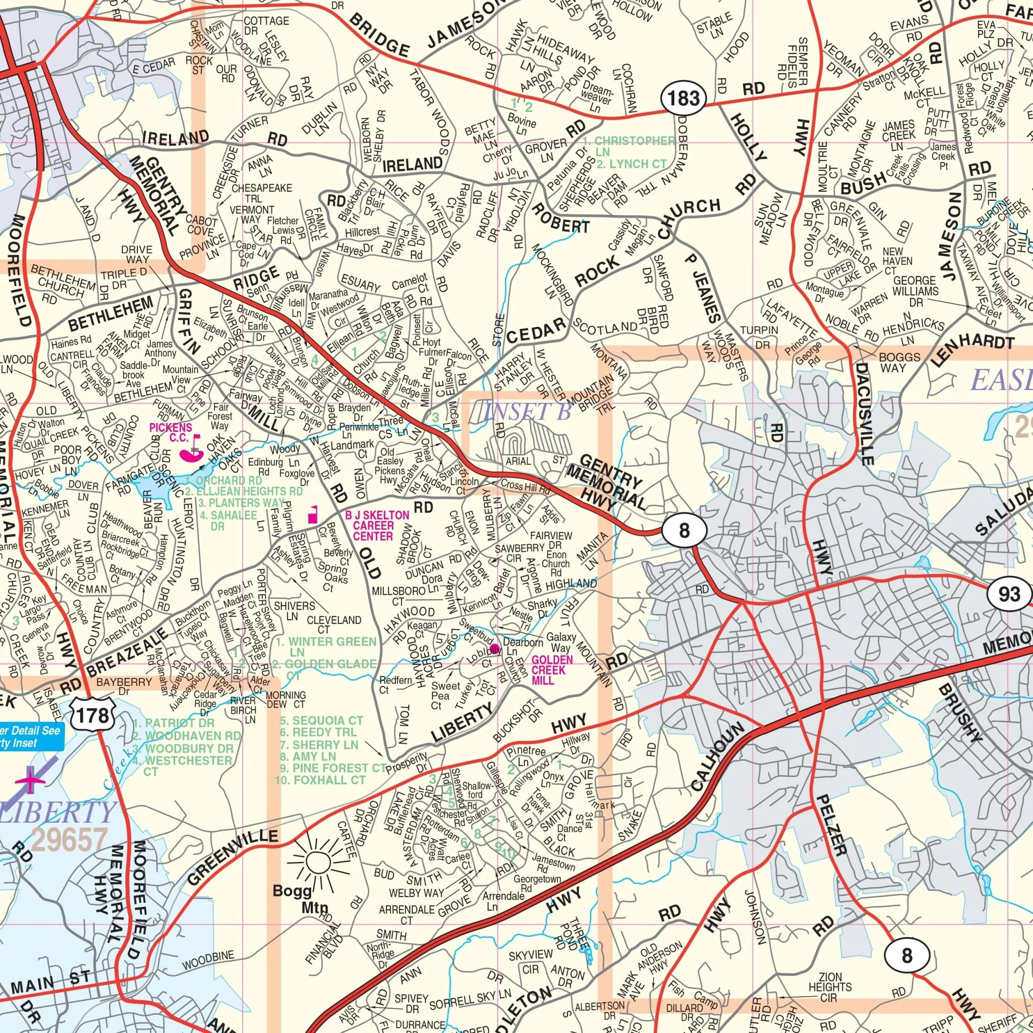
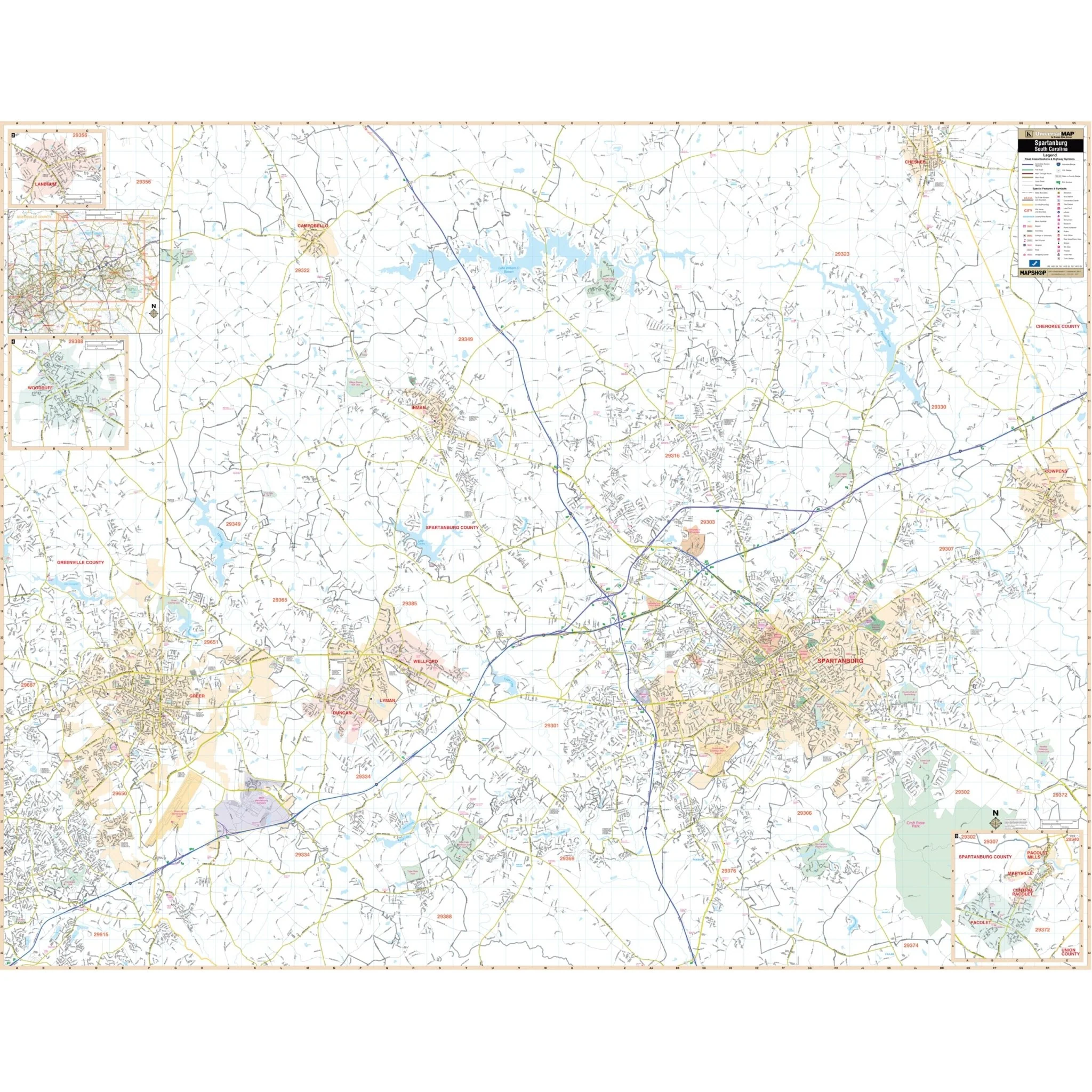
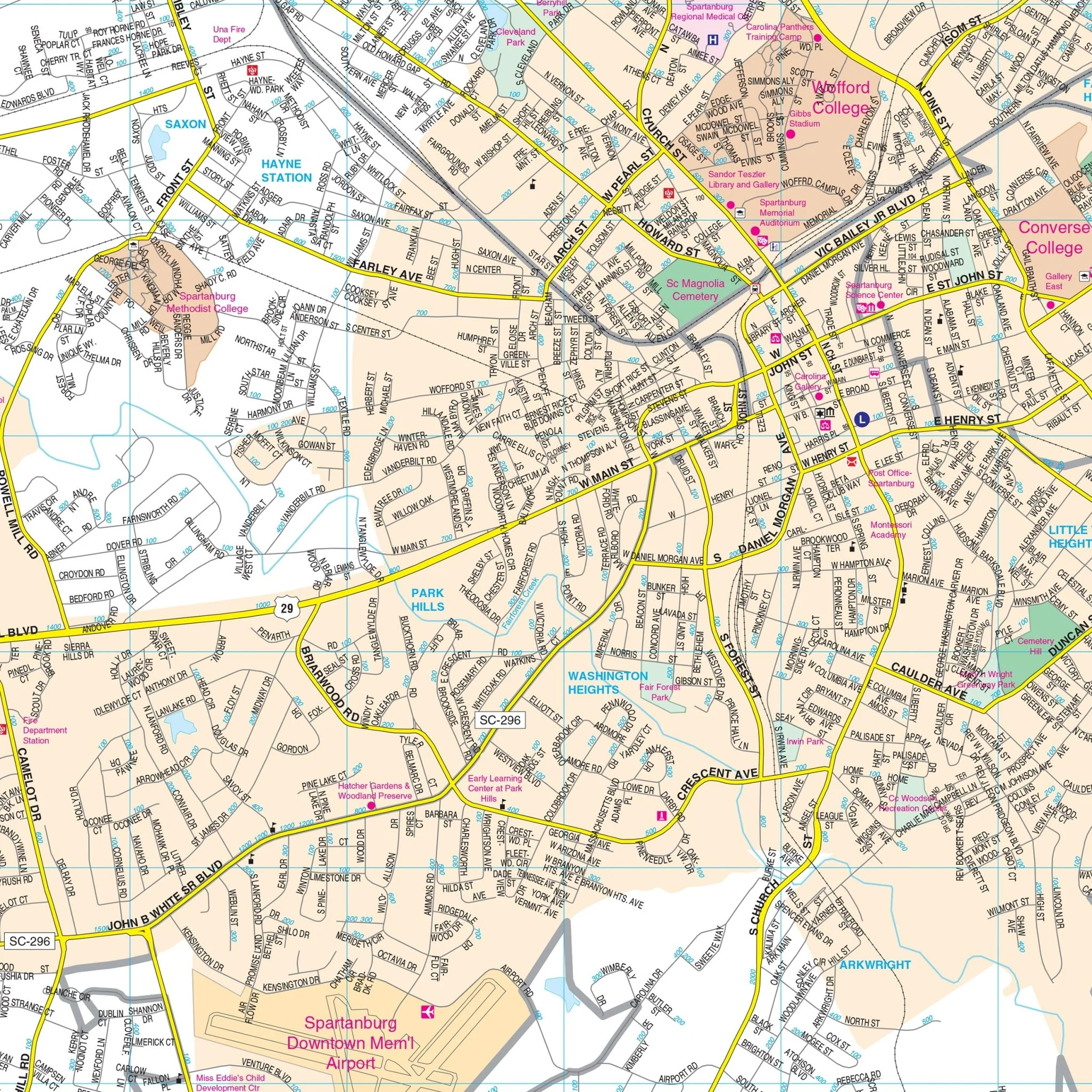
Myrtle Beach, SC Wall Map
The Myrtle Beach, SC Wall Map, with adjacent areas, offers comprehensive coverage within the following boundaries:
- North to Conway
- South to Pawley's Island
- East to Atlantic Beach on the main map and Shallotte, NC on the inset
- West to Conway and Brookgreen Gardens
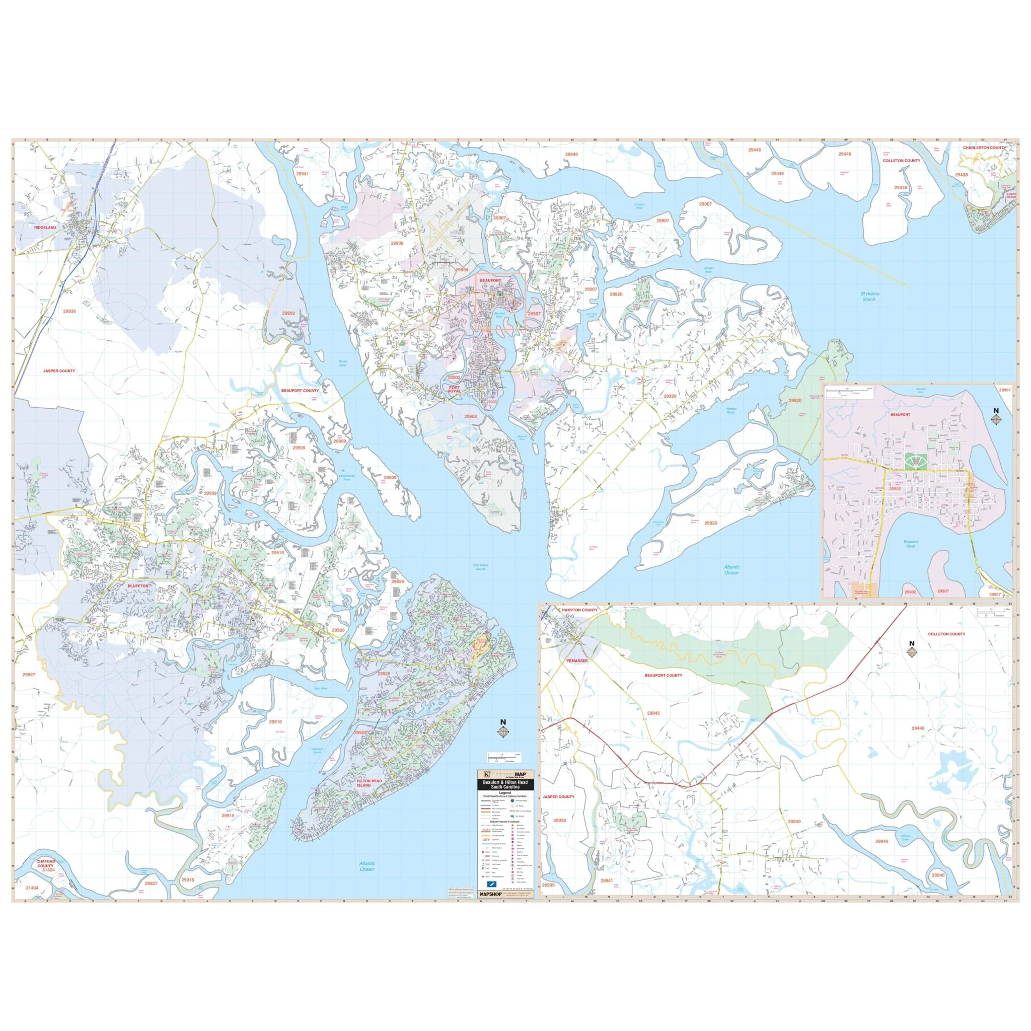
The Myrtle Beach, SC Wall Map also includes insets of Georgetown and continues its coverage of Pawley's Island to Pawley's Plantation Golf & Country Club, North Myrtle Beach, and Holden Beach, NC. Details and features depicted on the map encompass a wide range of information essential for residents and visitors, including airports, block numbers, cemeteries, city limits (color-coded), educational institutions, fire and police stations, golf and country clubs, government buildings, hospitals, libraries, marinas, points of interest, post offices, railroads, recreational parks, shopping centers, streets and highways, water features, and ZIP code boundaries.
Size: 57" x 75"
Published: 2015
Original: $149.99
-70%$149.99
$45.00Product Information
Product Information
Shipping & Returns
Shipping & Returns
Description
The Myrtle Beach, SC Wall Map, with adjacent areas, offers comprehensive coverage within the following boundaries:
- North to Conway
- South to Pawley's Island
- East to Atlantic Beach on the main map and Shallotte, NC on the inset
- West to Conway and Brookgreen Gardens
The Myrtle Beach, SC Wall Map also includes insets of Georgetown and continues its coverage of Pawley's Island to Pawley's Plantation Golf & Country Club, North Myrtle Beach, and Holden Beach, NC. Details and features depicted on the map encompass a wide range of information essential for residents and visitors, including airports, block numbers, cemeteries, city limits (color-coded), educational institutions, fire and police stations, golf and country clubs, government buildings, hospitals, libraries, marinas, points of interest, post offices, railroads, recreational parks, shopping centers, streets and highways, water features, and ZIP code boundaries.
Size: 57" x 75"
Published: 2015